Nancy Russell Cape Horn Overlook in Columbia River Gorge National Scenic Area

Sight · Columbia River Gorge National Scenic Area

Nancy Russell Cape Horn Overlook

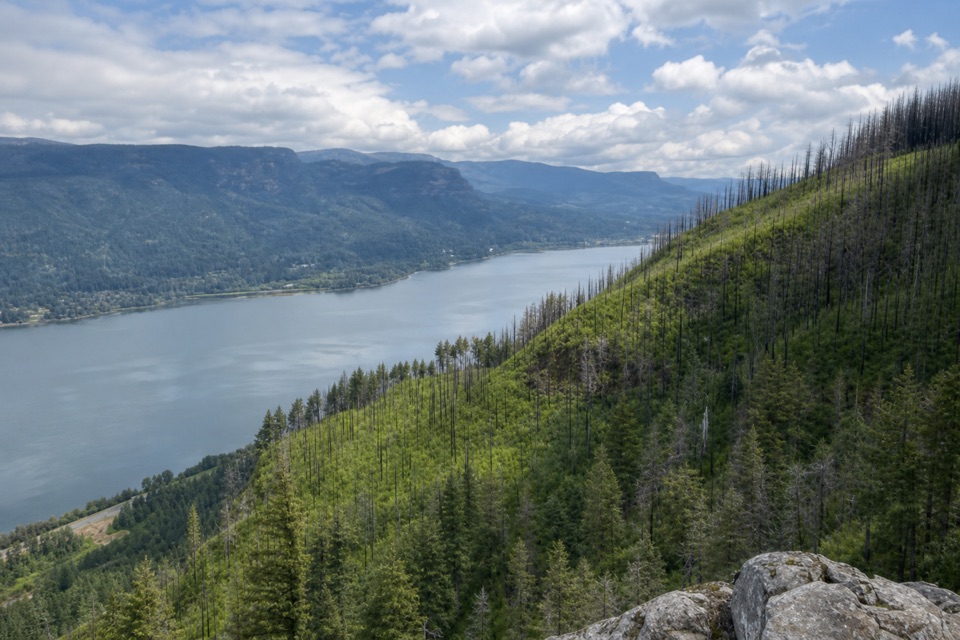
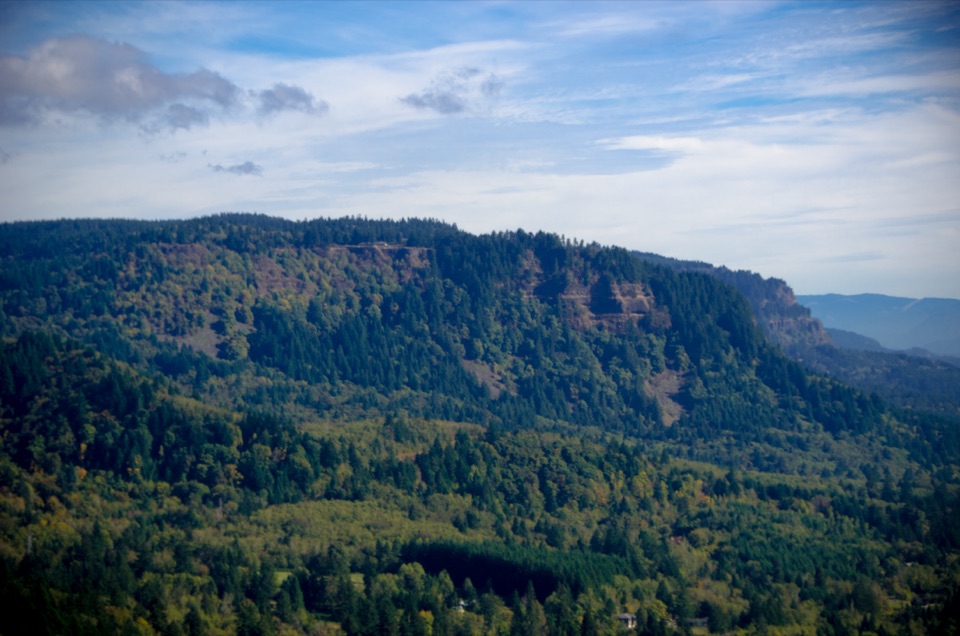
A stone-walled Gorge perch at the end of a steep trail.

Photo: Public Domain
Type
Sight
Nearest trail
1 mi
Audio stories
8 nearby
  • Trailhead
  • Restrooms
  • Parking
  • #22 of 60 sights

Hear the audio tour

Cape Horn Loop Trail

Overview

About Nancy Russell Cape Horn Overlook

Why stop

  • A handcrafted stone wall beside a broad Gorge panorama.

Heads up

  • A steep climb, with seasonal closure affecting the lower loop.

Map

Where it is

Loading the Columbia River Gorge map
Full map
SightNancy Russell Cape Horn Overlook45.58109, -122.19661
Keep this map with you offline in the Parkwolf app

Plan your stop

Before you go

8 active Columbia River Gorge alerts

  • CautionCape Horn area access restrictionsMentions Cape Horn, referenced in this guideCape Horn access is restricted: do not drive on National Forest System trails or off National Forest System roads, enter after sundown or before sunrise, camp, or have campfires.Official details
  • ClosureEagle Creek Fire area closureDo not enter Oneonta Gorge or the specified trail sections because hazards remain following the Eagle Creek Fire.Official details
See all 8 alerts
A park ranger sits on a dash-mounted phone, talking, as Parkwolf’s Tour Guide plays “Army Cutworm Moths: A Grizzly Bear Buffet” on Grand Loop Road below Dunraven Pass in Yellowstone
Parkwolf Tour GuideThe highest, rockiest slopes around here are a summer buffet for grizzly bears.

Columbia River Gorge Tour Guide

Your drive to Nancy Russell Cape Horn Overlook, narrated.

Parkwolf is a GPS audio tour guide for Columbia River Gorge National Scenic Area. As you drive, it chimes in with what’s ahead: hidden gems, upcoming stops, history, geology, and wildlife, right through your car’s speakers.

Recorded for this place

Cape Horn Loop Trail
0:00 / 0:29
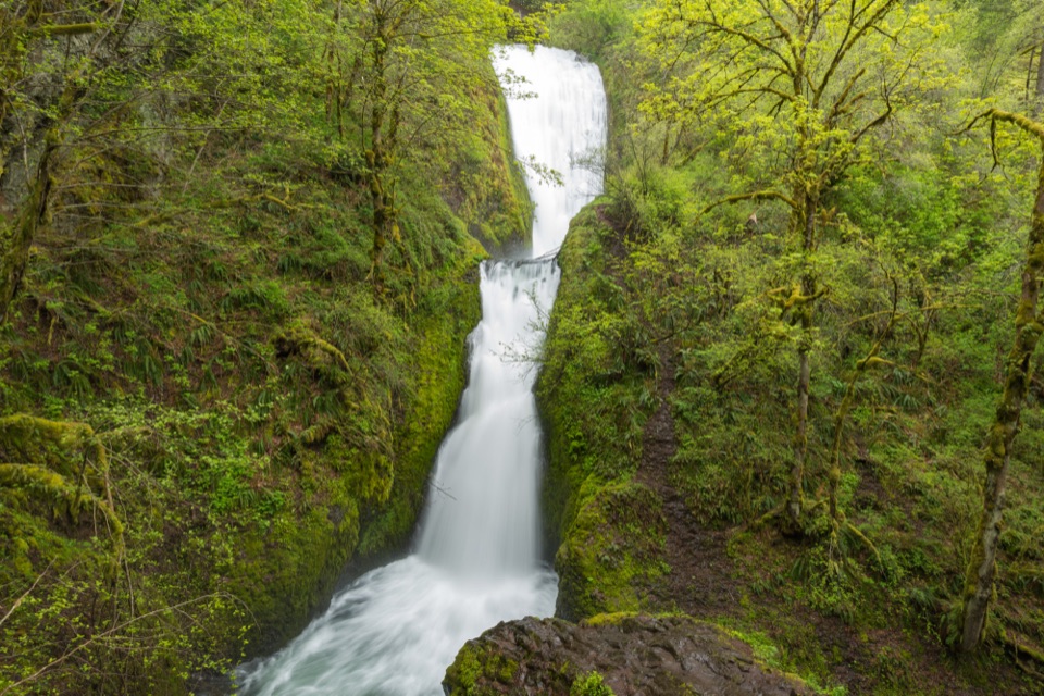
“You're approaching the Cape Horn Loop trailhead, where a steep first mile leads to Gorge views before the trail drops toward river cliffs and Cape Horn Falls.”

Plays as you drive up to Nancy Russell Cape Horn Overlook in the Parkwolf Columbia River Gorge Tour Guide.

More stories near here in the app

  • What the Fire Left
  • Cape Horn's Cliff Nesters
  • The Bird That Walks Underwater
  • The Crew Behind the Climb
  • 217 audio storiesacross Columbia River Gorge’s roads, triggered by GPS as you drive
  • Wildlife heatmapsfor Bald Eagle, Black Bear, American Pika, and 13 more
  • Works offlinemaps, 111 trails, 78 places, and audio download before you lose signal
  • CarPlay readysimple controls built for the drive
★★★★★
“Fantastic app with many points of information… It’s great to just turn on while you’re driving and it gives you an audio tour of the national Park. We love it!!!!”
JMJamesApp Store review
Download Parkwolf on the App StoreGet Parkwolf on Google Play

4.7 from 8,600+ ratings

Guide

More about Nancy Russell Cape Horn Overlook

A viewpoint earned on footNancy Russell Cape Horn Overlook is a stone-walled viewpoint high above the Columbia River…

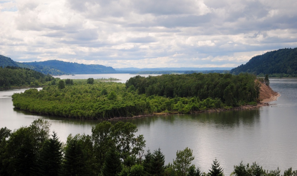
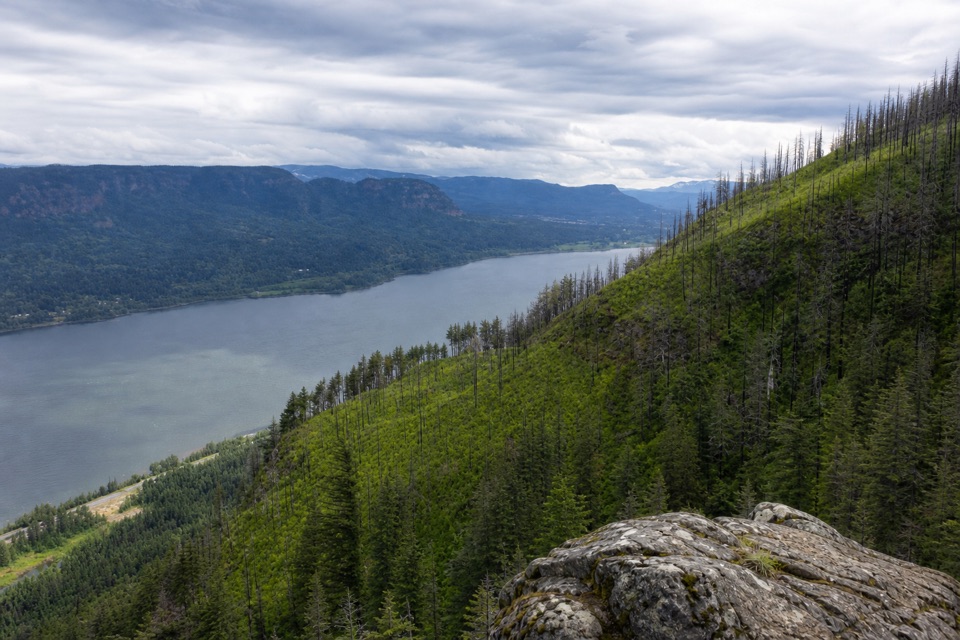
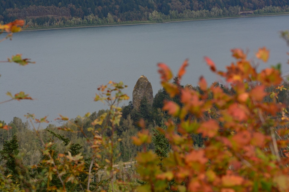
Nancy Russell Cape Horn Overlook is a stone-walled viewpoint high above the Columbia River Gorge, reached on Cape Horn Trail #4418 rather than from the roadside Cape Horn Outlook. It was developed in honor of Nancy Russell, whose conservation work helped protect this stretch of the Gorge. Plan for a hike, not a quick pullout: the Forest Service describes an approximately two-mile approach from the county Park and Ride.

Climb to the overlookThe trail starts across Salmon Falls Road and climbs steeply through bigleaf maple; its first…

The trail starts across Salmon Falls Road and climbs steeply through bigleaf maple; its first mile is the hardest. At about 1.2 miles, an earlier lookout arrives after roughly 800 feet of ascent, but the Nancy Russell overlook is farther on. Cross Strunk Road and follow the signed footpath and gravel tread to the spur. The destination is marked by a handcrafted stone wall beside a broad Gorge panorama. Use the wall as a foreground so a photo carries both the lookout and the layered landscape; the open view is the payoff after the climb.

Choose your routeThe Forest Service describes a two-mile hike to the overlook, while a detailed local route…

The Forest Service describes a two-mile hike to the overlook, while a detailed local route description works out to about 2.5 miles each way. Plan for roughly four to five miles round trip, depending on the route you follow, and check the trail map before setting out. The lower trail closes each year from February 1 through July 15 to protect peregrine nesting habitat, but the overlook remains accessible by an upper-trail out-and-back. The full six-mile loop is available July 16 through January 31.

Trailhead basicsFrom Washougal, follow WA-14 east to milepost 26.

From Washougal, follow WA-14 east to milepost 26.4, turn onto Salmon Falls Road, then Canyon Creek Road; park at the Skamania County Park and Ride and cross Salmon Falls Road to the trail. Restrooms are at the lot, and a Forest Pass is not needed. There is no potable water at the overlook, and water at the trailhead was not confirmed, so carry what you need for the climb. The Forest Service advises leaving dogs at home because of the steep cliffs. If you want a view straight from the car, choose the separate roadside Cape Horn Outlook instead.

Wildlife

Wildlife in Columbia River Gorge

All Columbia River Gorge wildlife maps

Sighting maps show where each species has been reported across Columbia River Gorge. Wildlife moves, so no sighting is guaranteed.

Keep exploring

Near Nancy Russell Cape Horn Overlook

See it all on the map

Trails nearby

More stops nearby

Parkwolf’s Columbia River Gorge ranking

Top sights in Columbia River Gorge

All 78 places
  1. 1Multnomah FallsSight
  2. 2Vista House at Crown PointSight
  3. 3Rowena Crest OverlookSight
  4. 4Portland Women’s Forum State Scenic ViewpointSight
  5. 5Latourell FallsSight
  6. 6Beacon RockSight

Take Parkwolf to Columbia River Gorge.

The audio tour guide for the drive, plus offline maps, trails, and wildlife heatmaps for when the signal drops.

4.7 from 8,600+ ratings

Download Parkwolf on the App StoreGet Parkwolf on Google Play