Bridal Veil Falls Trail in Columbia River Gorge National Scenic Area

Columbia River Gorge National Scenic Area, OR · WA

Bridal Veil Falls Trail

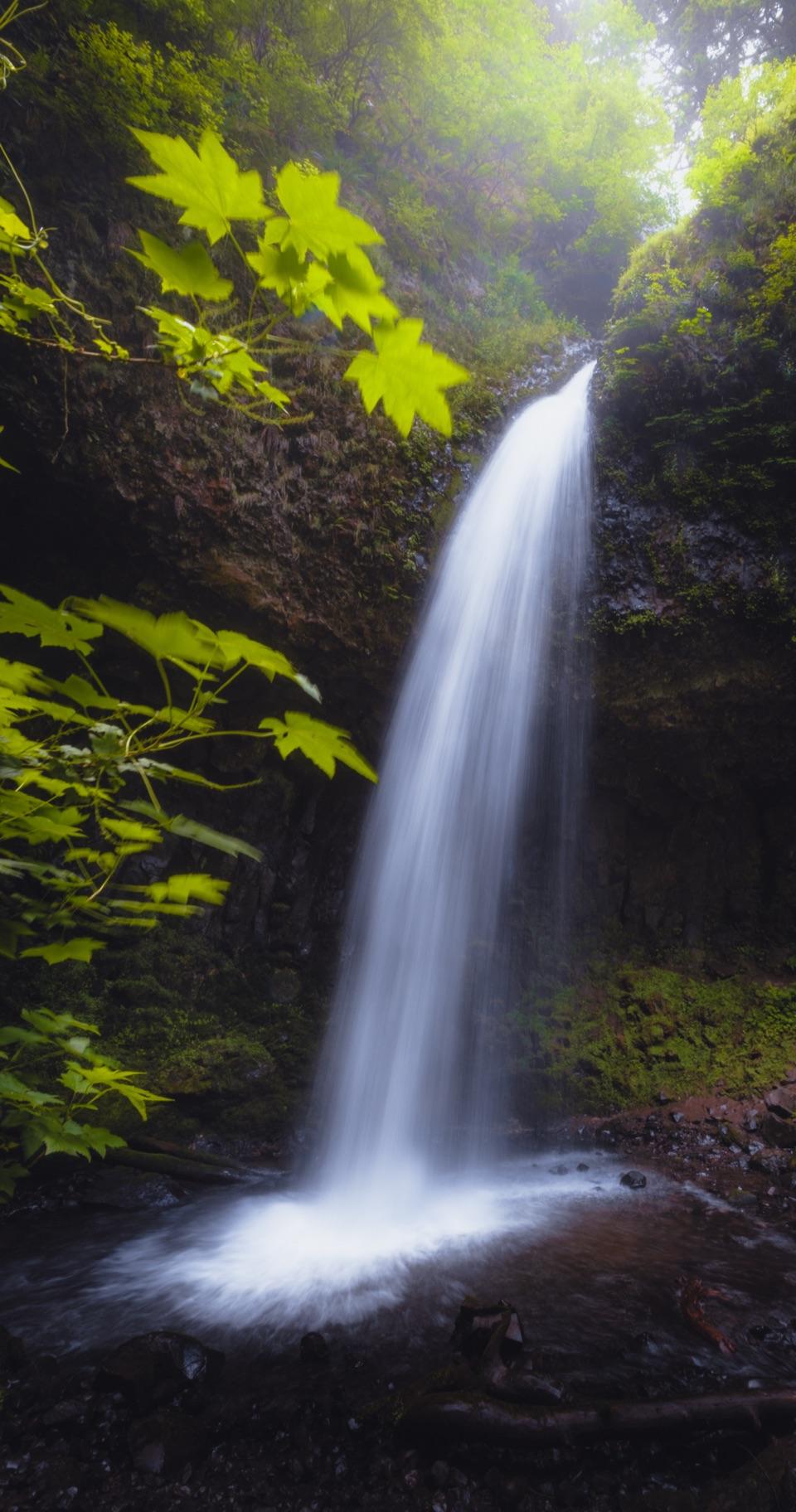
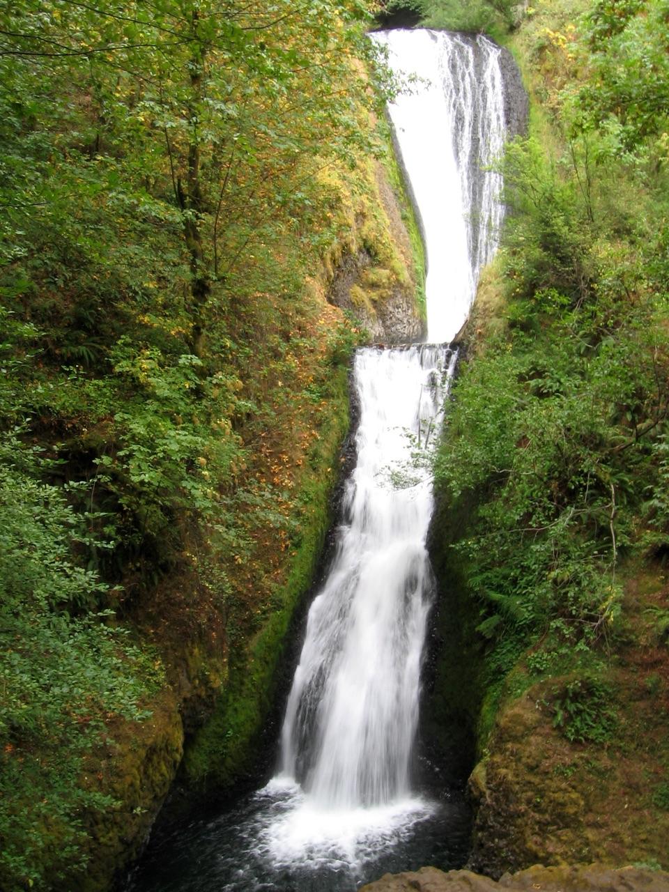
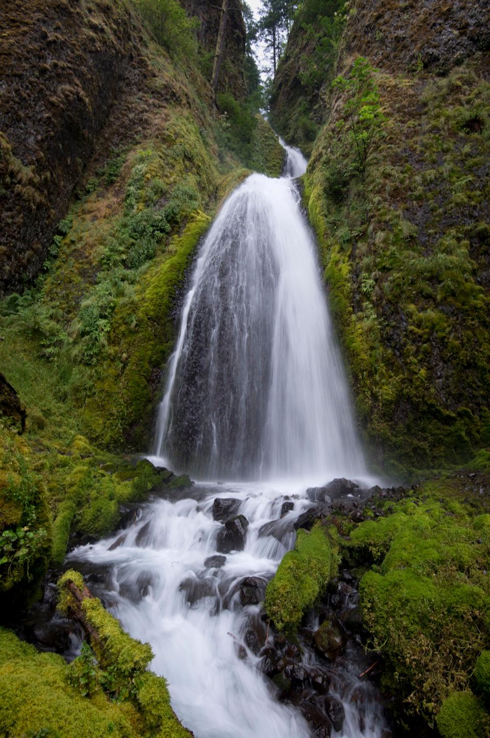
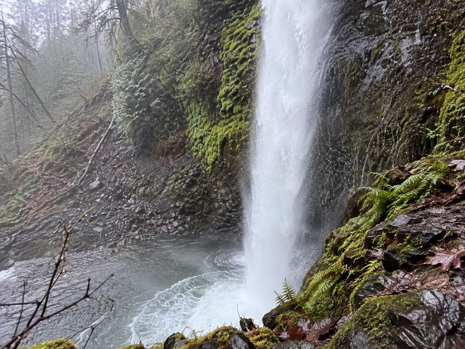
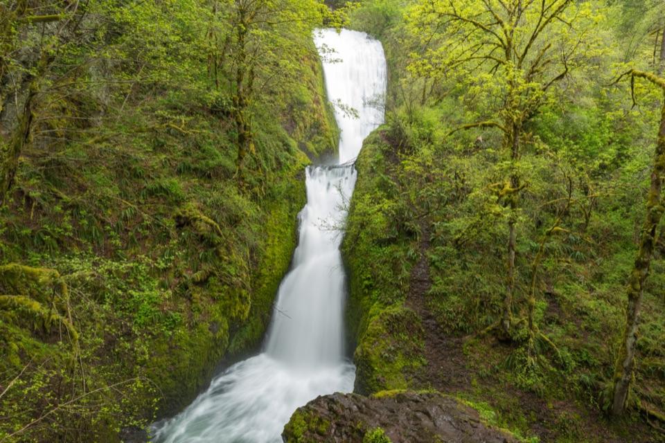
A two-tier waterfall waits beyond ninety steps and a shady creek.

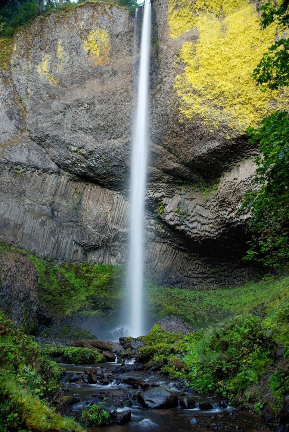
Photo: Gary Halvorson, Oregon State Archives, CC BY 4.0

Length
0.6mi
Time
45min
Elev. change
139ft
Difficulty
Moderate
  • Dogs allowed
  • High point 188 ft
  • #24 of 111 in Columbia River Gorge

Hear the audio tour

Bridal Veil Falls and the Bluff

Overview

About Bridal Veil Falls Trail

Why go

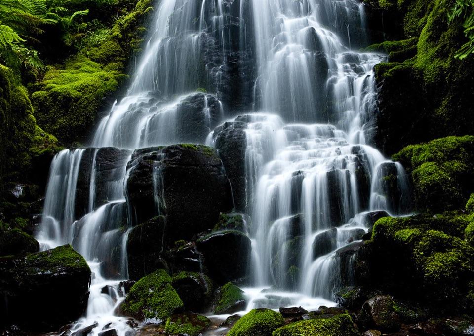
  • Two tiers spill through a mossy ravine beneath the historic highway bridge.
  • A short route reaches the waterfall platform.

Heads up

  • Steep switchbacks and roughly 90 steps make the return harder than the mileage suggests.

Map & elevation

The route

Loading the Columbia River Gorge map
Full map
Elevation49–188 ft
TrailheadBridal Veil Falls State Scenic Viewpoint Parking Area45.55346, -122.18291
Keep this map with you offline in the Parkwolf app

Plan your hike

Before you go

Parking

Use the Bridal Veil Falls State Scenic Viewpoint parking lot. The falls trail starts east of the lot beside the restroom building. A day-use parking permit is required and available for purchase on site; restrooms and picnic tables are next to the lot.

Safety

Steep gravel switchbacks, 36 concrete steps to creek level and another 54 to the falls platform make the return harder than the mileage suggests. This trail is not wheelchair accessible. If taking the optional creekside mill-site walk beyond the falls and back, turn around at the corrugated shed before private property. Do not walk along the narrow highway bridge to see the falls; use the trail platform.

2 active Columbia River Gorge alerts

  • ClosureEagle Creek Fire-area trail and gorge closuresRuckel Creek Trail 405, part of Tanner Butte Trail 401, and Oneonta Gorge are closed through July 17, 2027, unless the order is rescinded sooner.Official details
  • ClosureElowah Falls eastbound I-84 ramp closedThe NE Frontage Road on-ramp to eastbound I-84 at the Elowah Falls Trailhead parking lot remains closed during McCord Creek bridge construction.Official details
Columbia River Gorge alerts
A park ranger sits on a dash-mounted phone, talking, as Parkwolf’s Tour Guide plays “Army Cutworm Moths: A Grizzly Bear Buffet” on Grand Loop Road below Dunraven Pass in Yellowstone
Parkwolf Tour GuideThe highest, rockiest slopes around here are a summer buffet for grizzly bears.

Columbia River Gorge Tour Guide

Your drive to Bridal Veil Falls Trail, narrated.

Parkwolf is a GPS audio tour guide for Columbia River Gorge National Scenic Area. As you drive, it chimes in with what’s ahead: hidden gems, upcoming stops, history, geology, and wildlife, right through your car’s speakers.

See the Columbia River Gorge audio tour

Recorded for this trailhead

Bridal Veil Falls and the Bluff
0:00 / 0:32
“You're coming up on Bridal Veil Falls, with two very different short walks. For the waterfall, take the trail downhill to its two mossy tiers. It's about six tenths of a mile round trip, with roughly ninety steps.”

Plays as you drive up to this trailhead in the Parkwolf Columbia River Gorge Tour Guide.

More stories near here in the app

  • The Postmark That Outlived the Mill
  • Angel's Rest Trailhead
  • Shepperd's Dell Falls
  • The Crew Behind the Climb
  • 217 audio storiesacross Columbia River Gorge’s roads, triggered by GPS as you drive
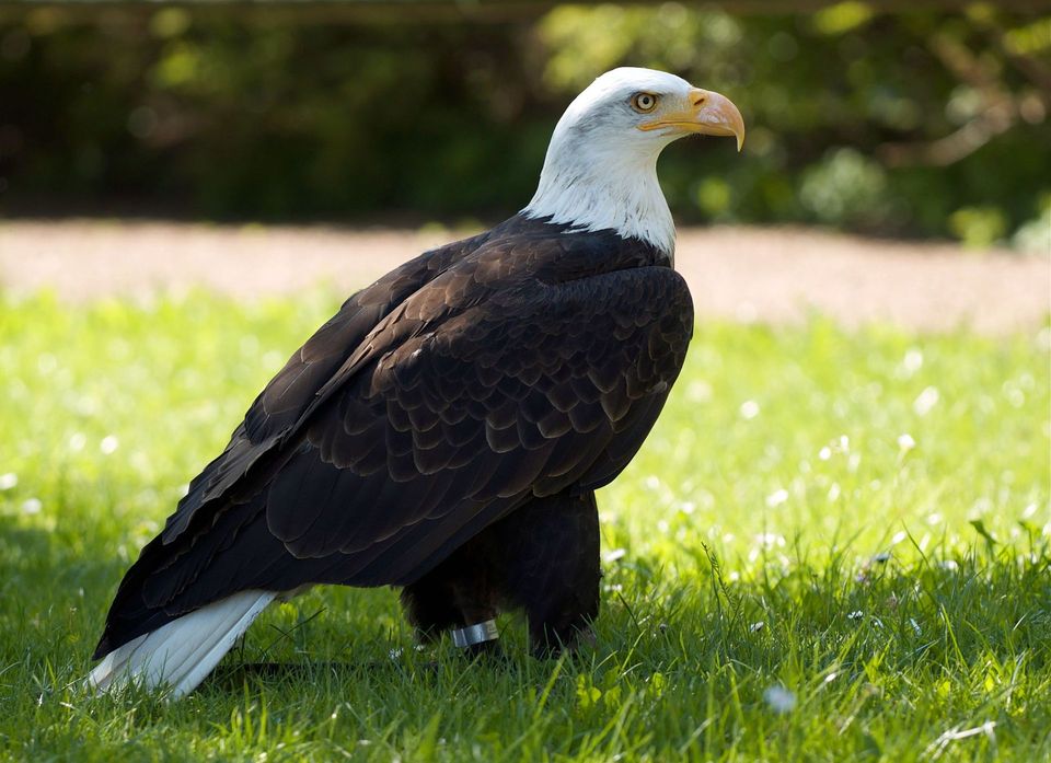
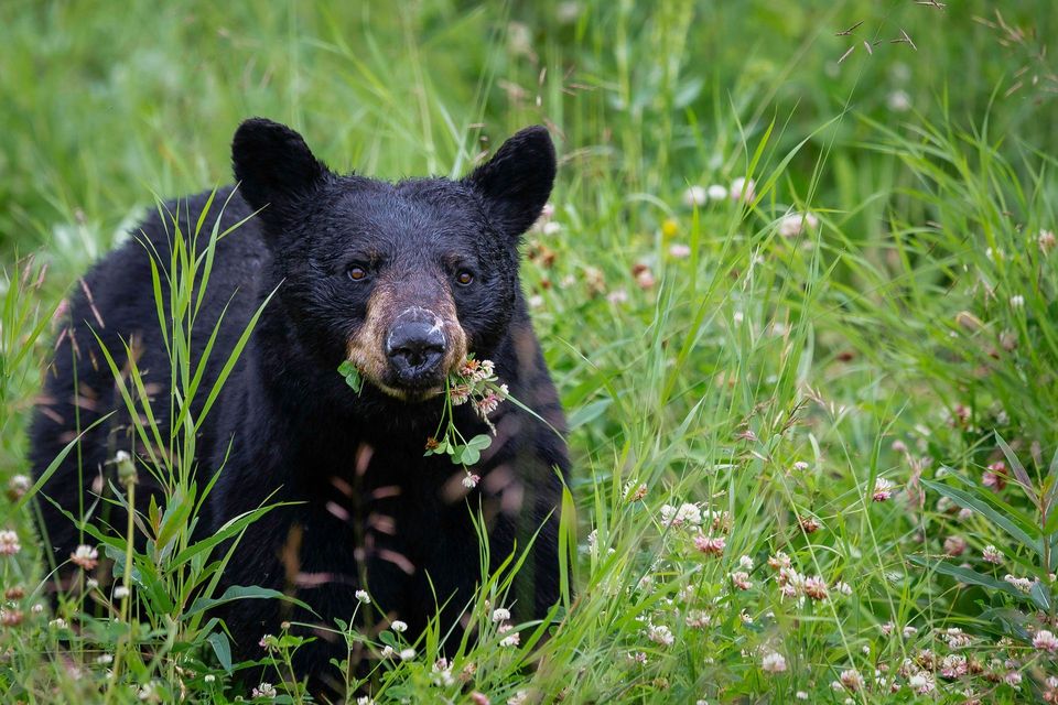
  • Wildlife heatmapsfor Bald Eagle, Black Bear, American Pika, and 13 more
  • Works offlinemaps, 111 trails, 79 places, and audio download before you lose signal
  • CarPlay readysimple controls built for the drive
★★★★★
“Fantastic app with many points of information… It’s great to just turn on while you’re driving and it gives you an audio tour of the national Park. We love it!!!!”
JMJamesApp Store review
Download Parkwolf on the App StoreGet Parkwolf on Google Play

4.7 from 8,600+ ratings

Trail guide

Hiking Bridal Veil Falls Trail

The short walk to the fallsBridal Veil Falls Trail is a 0.

Bridal Veil Falls Trail is a 0.6-mile out-and-back from Bridal Veil Falls State Scenic Viewpoint parking area to a platform at the base of the two-tier waterfall. Allow about 45 minutes. It is separate from the paved bluff-top Overlook Trail; steep gravel and roughly 90 steps make this short walk more than a stroll.

Down to the creek, then up to the viewPass the restroom east of the lot, then descend gravel switchbacks through Douglas-fir woods…

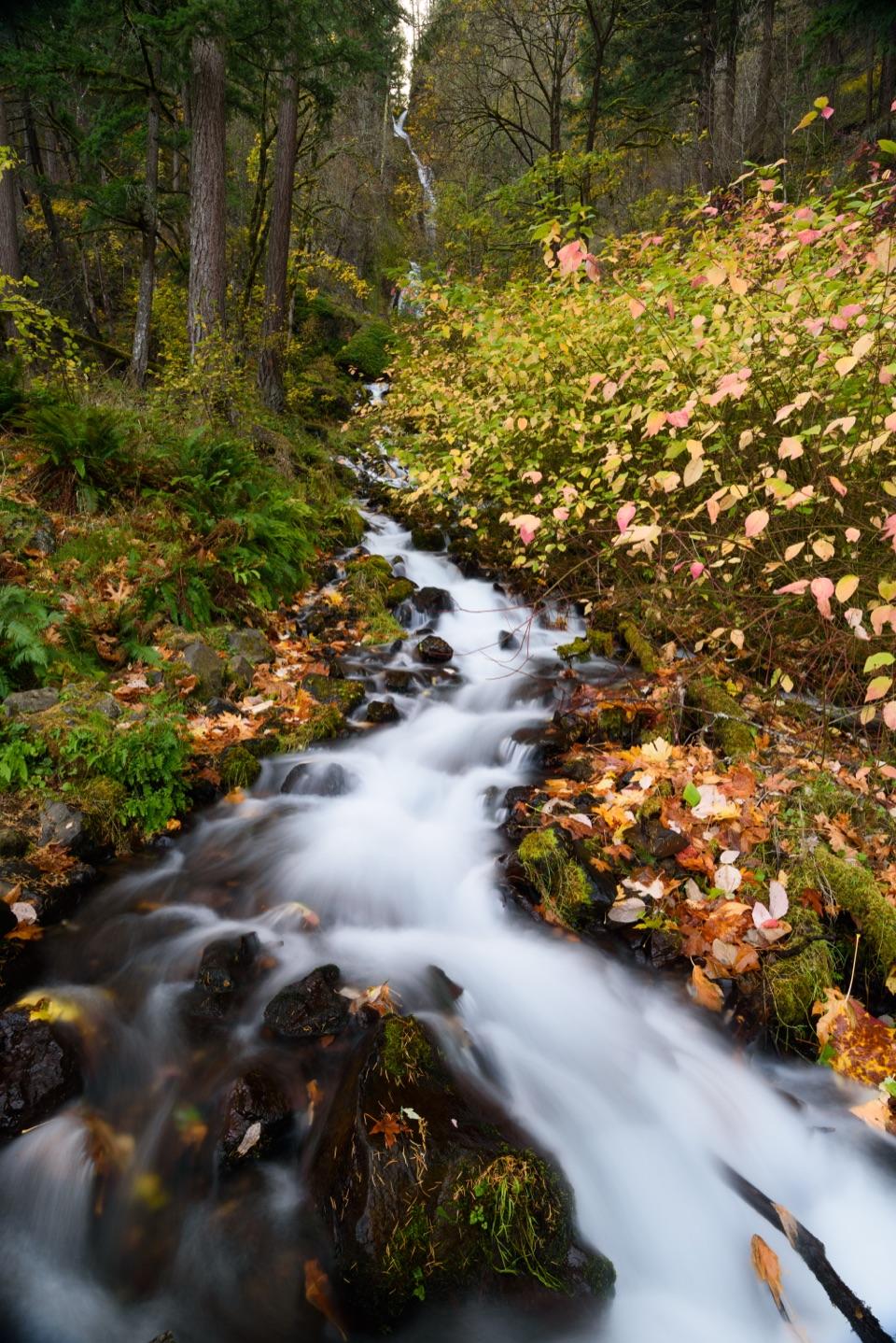
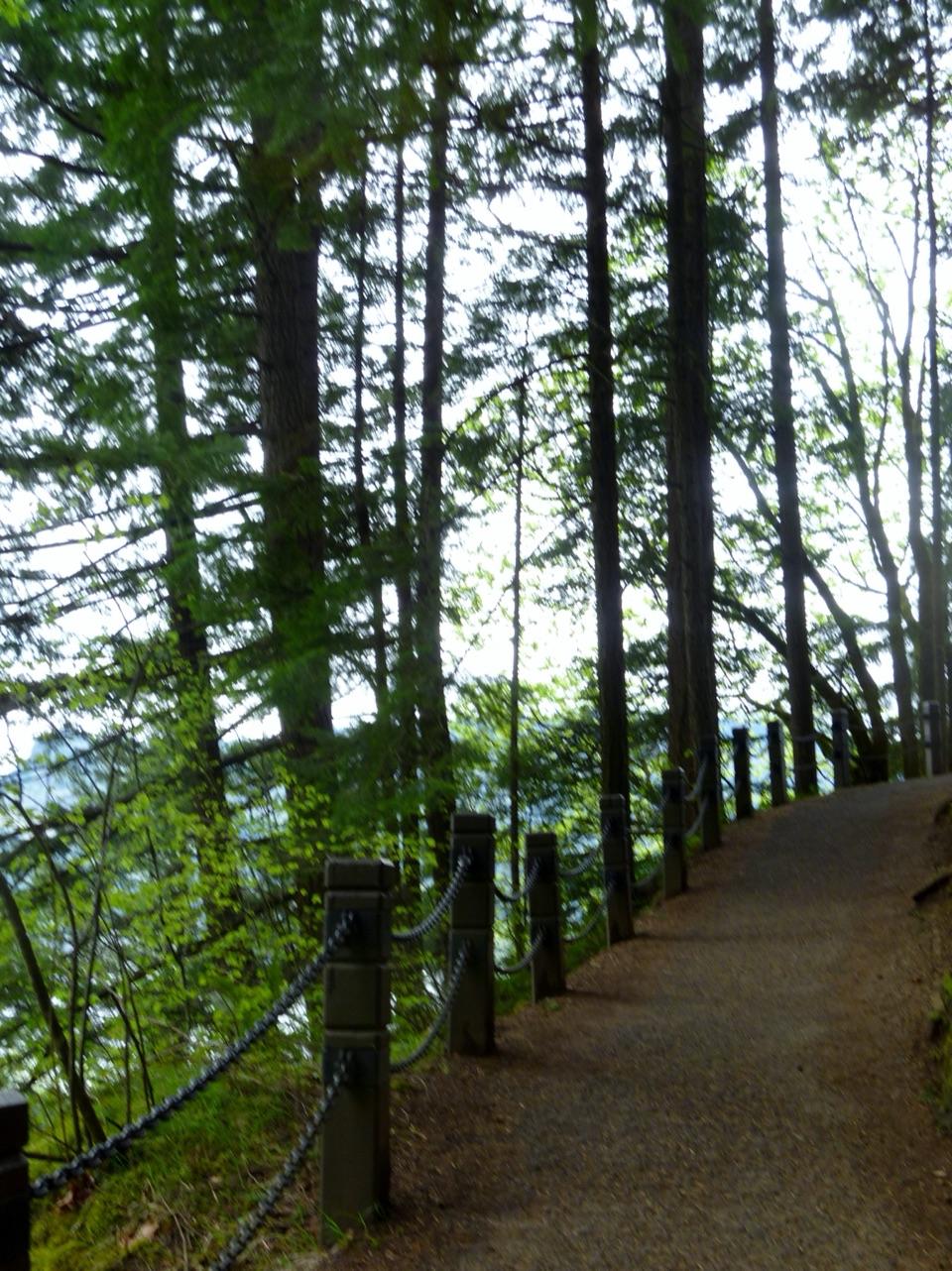
Pass the restroom east of the lot, then descend gravel switchbacks through Douglas-fir woods beside an old rock wall. A bridge and 36 concrete steps reach creek level. Cross the footbridge, turn right and follow maple shade upstream; 54 more steps climb to the platform. Bridal Veil Creek drops about 120 feet over mossy basalt in two tiers beneath the 1914 Historic Columbia River Highway bridge. A lumber mill diverted the creek; after its box mill closed in 1960, the falls flowed freely again. View the falls from the trail platform; do not walk along the highway bridge for a view, because the narrow road has no sidewalk. On the optional mill-site walk, turn back at the corrugated shed before private land.

Access and effortA day-use parking permit is required and sold on site.

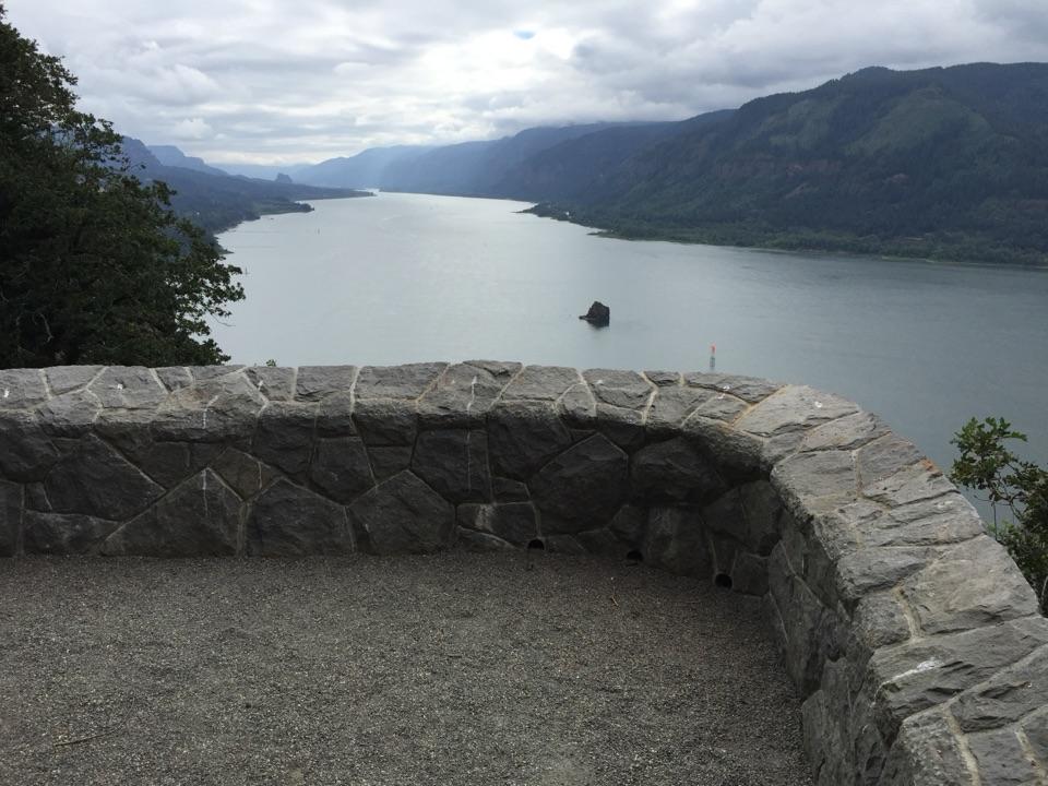
A day-use parking permit is required and sold on site. Restrooms and picnic tables are beside the lot; there is no food service on the route. Dogs must be leashed. The falls trail is not wheelchair accessible; the paved Overlook Trail is a separate accessible walk with Gorge views.

Wildlife

Wildlife in Columbia River Gorge

All Columbia River Gorge wildlife maps

Sighting maps show where each species has been reported across Columbia River Gorge. Wildlife moves, so no sighting is guaranteed.

Keep exploring

Near Bridal Veil Falls Trail

See it all on the map

Trails that start nearby

Places near the trailhead

Parkwolf’s Columbia River Gorge ranking

Top-rated trails in Columbia River Gorge

All 111 trails
  1. 1Eagle Creek Trail #440 to Tunnel FallsChallenging · 11.7 mi
  2. 2Multnomah Falls Trail to the TopModerate · 2.4 mi
  3. 3Multnomah–Wahkeena Falls LoopChallenging · 4.8 mi
  4. 4Dog Mountain LoopChallenging · 6.9 mi
  5. 5Angel's Rest TrailModerate · 4.8 mi
  6. 6Cape Horn Loop TrailChallenging · 6.5 mi

Take Parkwolf to Columbia River Gorge.

The audio tour guide for the drive, plus offline maps, trails, and wildlife heatmaps for when the signal drops.

4.7 from 8,600+ ratings

Download Parkwolf on the App StoreGet Parkwolf on Google Play