Starvation Creek Falls in Columbia River Gorge National Scenic Area

Sight · Columbia River Gorge National Scenic Area

Starvation Creek Falls

A short walk to a waterfall with a story of snowbound trains.

Photo: Wikimedia Commons
Type
Sight
Nearest trail
0.1 mi
Audio stories
5 nearby
  • Parking
  • Restrooms
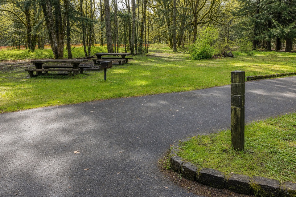
  • Picnic tables
  • Scenic viewpoint

Hear the audio tour

Starvation Creek Falls

Overview

About Starvation Creek Falls

Why stop

  • The waterfall and snowbound-train history make a quick stop more rewarding.

Heads up

  • The interstate rest-area setting is less secluded.

Map

Where it is

Loading the Columbia River Gorge map
Full map
SightStarvation Creek Falls45.68717, -121.68844
Keep this map with you offline in the Parkwolf app

Plan your stop

Before you go

8 active Columbia River Gorge alerts

  • ClosureEagle Creek Fire area closureDo not enter Oneonta Gorge or the specified trail sections because hazards remain following the Eagle Creek Fire.Official details
  • CautionAircraft and drone restrictions at developed recreation sitesAircraft and drone landings, drop-offs, and pickups are prohibited at six high-use developed recreation sites to protect visitor safety.Official details
See all 8 alerts
A park ranger sits on a dash-mounted phone, talking, as Parkwolf’s Tour Guide plays “Army Cutworm Moths: A Grizzly Bear Buffet” on Grand Loop Road below Dunraven Pass in Yellowstone
Parkwolf Tour GuideThe highest, rockiest slopes around here are a summer buffet for grizzly bears.

Columbia River Gorge Tour Guide

Your drive to Starvation Creek Falls, narrated.

Parkwolf is a GPS audio tour guide for Columbia River Gorge National Scenic Area. As you drive, it chimes in with what’s ahead: hidden gems, upcoming stops, history, geology, and wildlife, right through your car’s speakers.

Recorded for this place

Starvation Creek Falls
0:00 / 0:33
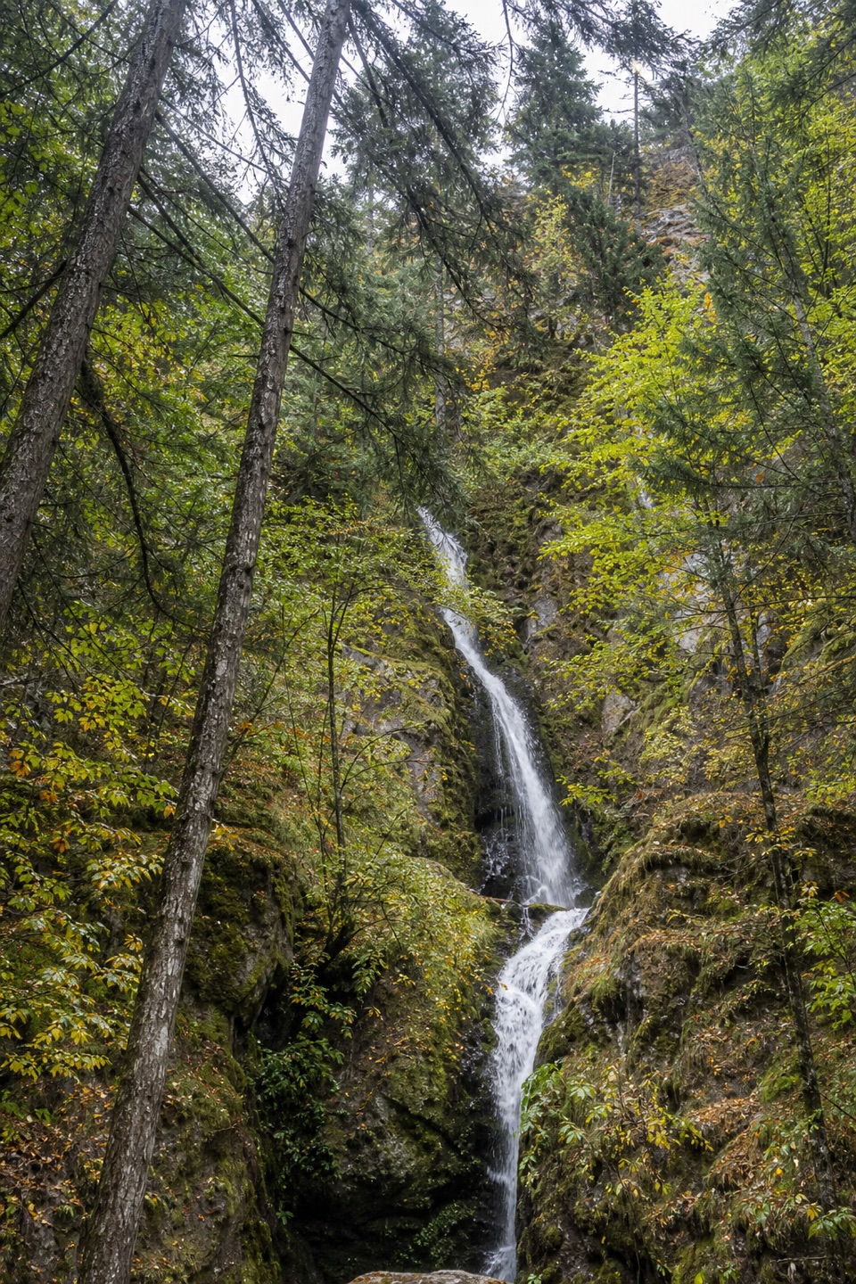
“You're approaching Starvation Creek State Park, where a short paved path behind the rest area reaches a two-tier waterfall about 190 feet tall.”

Plays as you drive up to Starvation Creek Falls in the Parkwolf Columbia River Gorge Tour Guide.

More stories near here in the app

  • Viento State Park
  • What Mount Defiance Asks of You
  • Dog Mountain Trailhead
  • Dog Creek Falls
  • 217 audio storiesacross Columbia River Gorge’s roads, triggered by GPS as you drive
  • Wildlife heatmapsfor Bald Eagle, Black Bear, American Pika, and 13 more
  • Works offlinemaps, 111 trails, 78 places, and audio download before you lose signal
  • CarPlay readysimple controls built for the drive
★★★★★
“Fantastic app with many points of information… It’s great to just turn on while you’re driving and it gives you an audio tour of the national Park. We love it!!!!”
JMJamesApp Store review
Download Parkwolf on the App StoreGet Parkwolf on Google Play

4.7 from 8,600+ ratings

Guide

More about Starvation Creek Falls

A waterfall close to the roadStarvation Creek Falls is a two-tier waterfall about 190 feet high, dropping down a wooded rock…

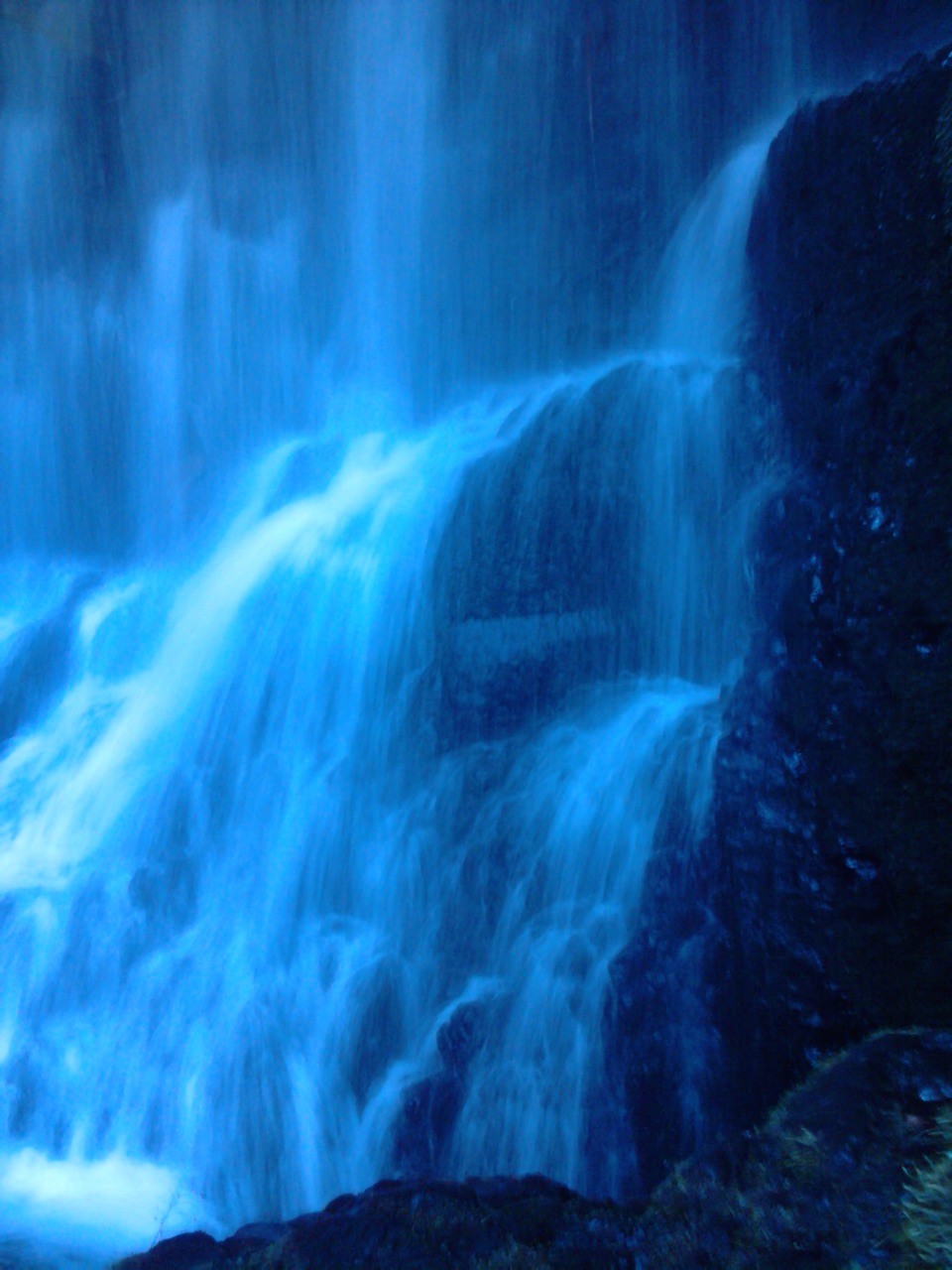
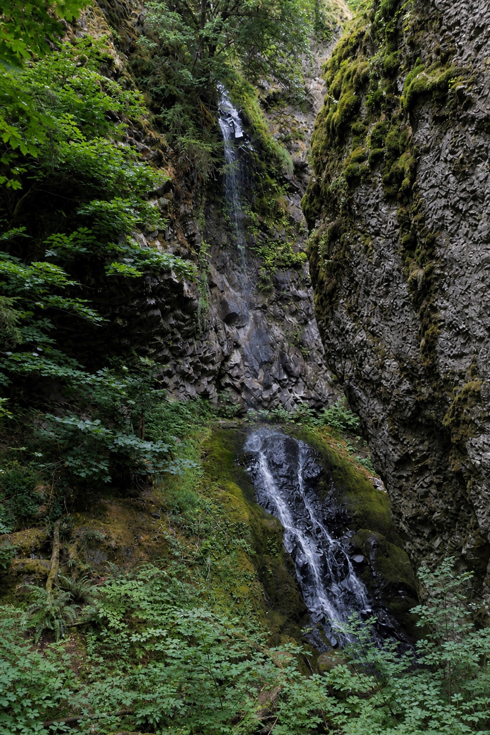
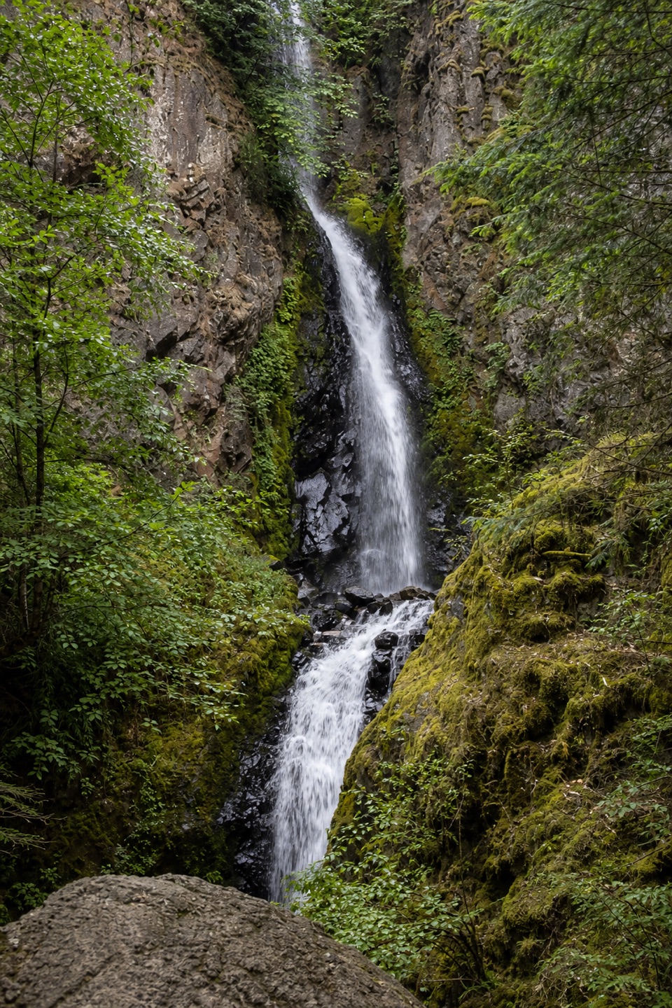
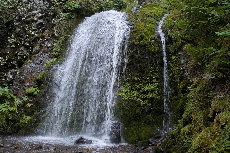
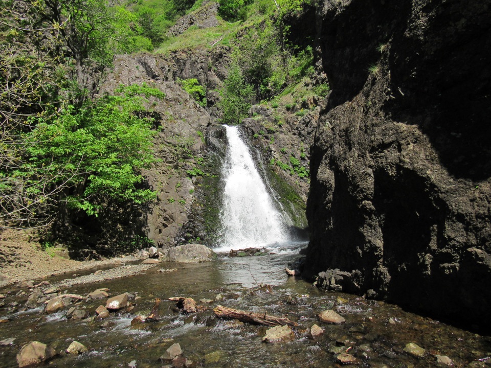
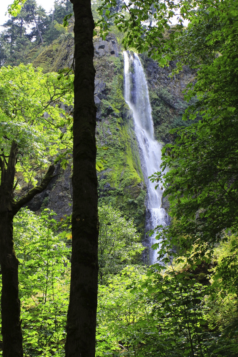
Starvation Creek Falls is a two-tier waterfall about 190 feet high, dropping down a wooded rock face beneath the Columbia Gorge cliffs. It is the namesake of Starvation Creek State Park, a compact roadside day-use stop west of Hood River. A very short walk from the parking area brings you to the creek and the base of the cascade. The height is the surprise: both steps rise above you from close range.

Take the path behind the rest areaThe waterfall is just east of the restrooms, so follow the path and signs instead of expecting…

The waterfall is just east of the restrooms, so follow the path and signs instead of expecting to see the whole cascade from the road. The approach begins over a boardwalk and continues along a paved route to the viewing area. A couple of picnic tables sit by the creek near the falls. The Historic Columbia River Highway State Trail also starts here; its one-mile eastward walk toward Viento is a separate extension, not part of the short waterfall stop.

Two stories behind the nameThere are two explanations for the name.

There are two explanations for the name. One says an overland pioneer party ran short of food; the other ties it to a Pacific Express passenger train trapped by blizzard snow in December 1884. That train was stuck for 21 days as relief crews carried supplies from Hood River, finally getting through on January 6, 1885. Newspaper reports said passengers had starved, but no one died or was lost. The second story gives the quick stop a human thread: the creek's name reaches back to a winter emergency on this stretch of the Gorge.

Plan your stopEastbound I-84 uses Exit 55 for the park, and the exit is eastbound-only.

Eastbound I-84 uses Exit 55 for the park, and the exit is eastbound-only. Coming from the west, continue to Exit 51 at Wyeth and return east. Oregon State Parks requires a day-use parking permit purchased on site; restrooms are at the rest area. Dogs are allowed on the trails on a leash no longer than six feet. For a photo, use the creek near the picnic tables in the foreground and keep both tiers of the falls in view above it.

Wildlife

Wildlife in Columbia River Gorge

All Columbia River Gorge wildlife maps

Sighting maps show where each species has been reported across Columbia River Gorge. Wildlife moves, so no sighting is guaranteed.

Keep exploring

Near Starvation Creek Falls

See it all on the map

Trails nearby

More stops nearby

Parkwolf’s Columbia River Gorge ranking

Top sights in Columbia River Gorge

All 78 places
  1. 1Multnomah FallsSight
  2. 2Vista House at Crown PointSight
  3. 3Rowena Crest OverlookSight
  4. 4Portland Women’s Forum State Scenic ViewpointSight
  5. 5Latourell FallsSight
  6. 6Beacon RockSight

Take Parkwolf to Columbia River Gorge.

The audio tour guide for the drive, plus offline maps, trails, and wildlife heatmaps for when the signal drops.

4.7 from 8,600+ ratings

Download Parkwolf on the App StoreGet Parkwolf on Google Play