Parking
Start at the Starvation Creek State Park trailhead parking area beside the Historic Columbia River Highway State Trail. Head west on the State Trail before Mount Defiance Trail #413 turns uphill.
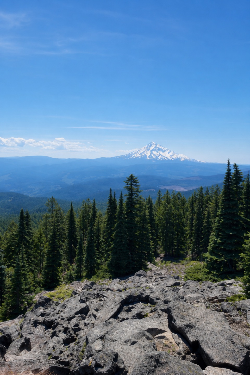
Columbia River Gorge National Scenic Area, OR · WA
Climb 4,900 feet for the Gorge's highest summit.
Overview
Mount Defiance Trail to the summit is a 10.5-mile out-and-back from Starvation Creek, including the Historic Columbia River Highway State Trail approach before Trail #413 climbs to Mount Defiance. The route returns along the same line and gains about 4,900 feet. Budget eight to ten hours: it starts with waterfalls and an easy trail approach, then commits you to a long, steep ascent and an equally demanding descent. If you want the Columbia Gorge’s highest point and the effort is the point, this is a real all-day objective. If you want a relaxed waterfall walk, Hole-in-the-Wall Falls is a sensible turn-around. Mount Defiance rises to about 4,950 feet, with glimpses of the river corridor and Cascade volcanoes along the way.
 Parkwolf’s verdictIs this the climb for you?
Map & elevation
Plan your hike

The highest, rockiest slopes around here are a summer buffet for grizzly bears.
Columbia River Gorge Tour Guide
Parkwolf is a GPS audio tour guide for Columbia River Gorge National Scenic Area. As you drive, it chimes in with what’s ahead: hidden gems, upcoming stops, history, geology, and wildlife, right through your car’s speakers.
Recorded for this area
Starvation Creek Falls“You're approaching Starvation Creek State Park, where a short paved path behind the rest area reaches a two-tier waterfall about 190 feet tall.”
Plays near this trailhead in the Parkwolf Columbia River Gorge Tour Guide.
More stories near here in the app
“Fantastic app with many points of information… It’s great to just turn on while you’re driving and it gives you an audio tour of the national Park. We love it!!!!”


Trail guide
From the Starvation Creek lot, head west on the paved Historic Columbia River Highway State Trail; it becomes gravel as it passes Starvation Cutoff and Cabin Creek Falls. At Hole-in-the-Wall Falls, stay left where Mount Defiance Trail #413 leaves the easy grade, then cross Warren Creek on a footbridge. The approach climbs gently to the Starvation Ridge Trail #414 junction, about 0.8 mile from the start. Keep right on #413; turning onto #414 begins a different loop.
Beyond Lancaster Falls, the hill changes character. The trail steepens into long switchbacks and gains close to 3,000 feet over the next three miles. Some of this climb runs under trees; other sections cross the slopes burned in the 2017 Eagle Creek Fire, where black trunks and new growth open the hillside. The footing turns rougher as the grade keeps pulling upward. You do not need to scramble, but the sustained climb is the work, and coming down the same slope can be hard on knees.
Around 3,500 feet, the forest thins and rocky, scree-covered slopes begin to show off the height you have gained. Look back through openings for the Gorge and the Cascade peaks; on a clear day the views include Adams, Rainier and St. Helens. Near Warren Lake, stay straight where Mitchell Point Trail #417 branches away. On the final pitch, keep to the direct summit route when the cutoff curves around the west side toward Bear Lake.
The top is a former fire-lookout site, now occupied by radio towers, so it feels more like a working mountaintop than a wild summit. The south-side boulders make a good place to sit, with Mount Hood rising beyond the forested ridges. The name Mount Defiance comes from its snow lasting longer than other Gorge peaks, which is why the summit can hold snow after lower trails have cleared.
May through October is the usual hiking window; upper snow can outlast lower Gorge trails, and clouds can hide the summit views. Treat this as a high, strenuous mountain day, not a low-elevation Gorge hike. Restrooms are at the east end of the Starvation Creek parking area. There is no food stop on the route; Hood River or Cascade Locks are separate drives for a meal afterward. Dogs are allowed. Keep them on a leash no longer than six feet in the state park and on the State Trail; farther up, dogs may be off leash on Forest Service land. Part of the route crosses Mark O. Hatfield Wilderness.
Wildlife
 267 sightingsBald EagleMost seen around 7 AMSighting map
 51 sightingsBlack BearMost seen around 7 PMSighting map
 136 sightingsAmerican PikaMost seen around 8 AMSighting map
 16 sightingsWapitiMost seen around 7 AMSighting map
 195 sightingsMule DeerMost seen around 7 AMSighting map
 74 sightingsChinook SalmonMost seen around 6 PMSighting map
Sighting maps show where each species has been reported across Columbia River Gorge. Wildlife moves, so no sighting is guaranteed.
Keep exploring
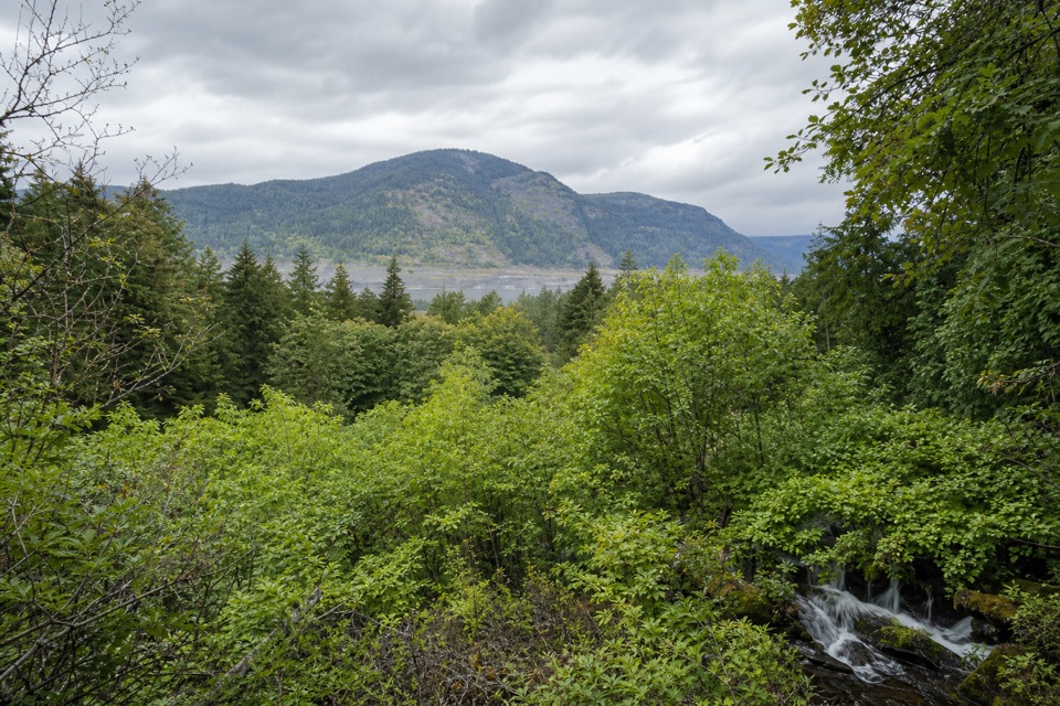 EasyLancaster Falls Trail1.6 mi · 45 min · At the trailheadThree waterfall views along an easy, paved stretch of gorge.
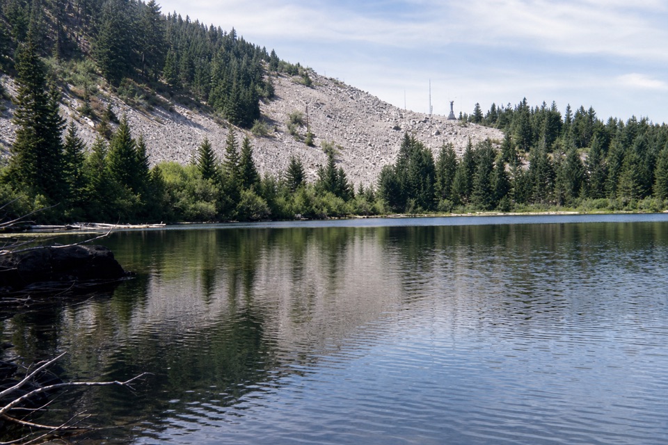 ChallengingStarvation Ridge to Warren Lake Loop10.4 mi · 7 hr · 0.1 mi awayA steep ridge climb earns a quiet stop at a high-country lake.
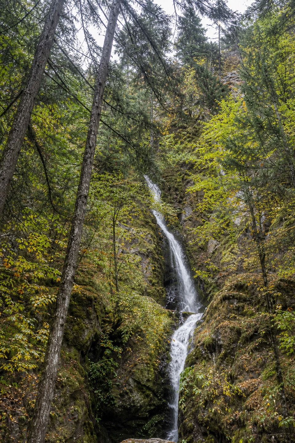 EasyHole-in-the-Wall Falls1.4 mi · 45 min · 0.1 mi awayA paved walk to a waterfall created by a 1938 creek diversion.
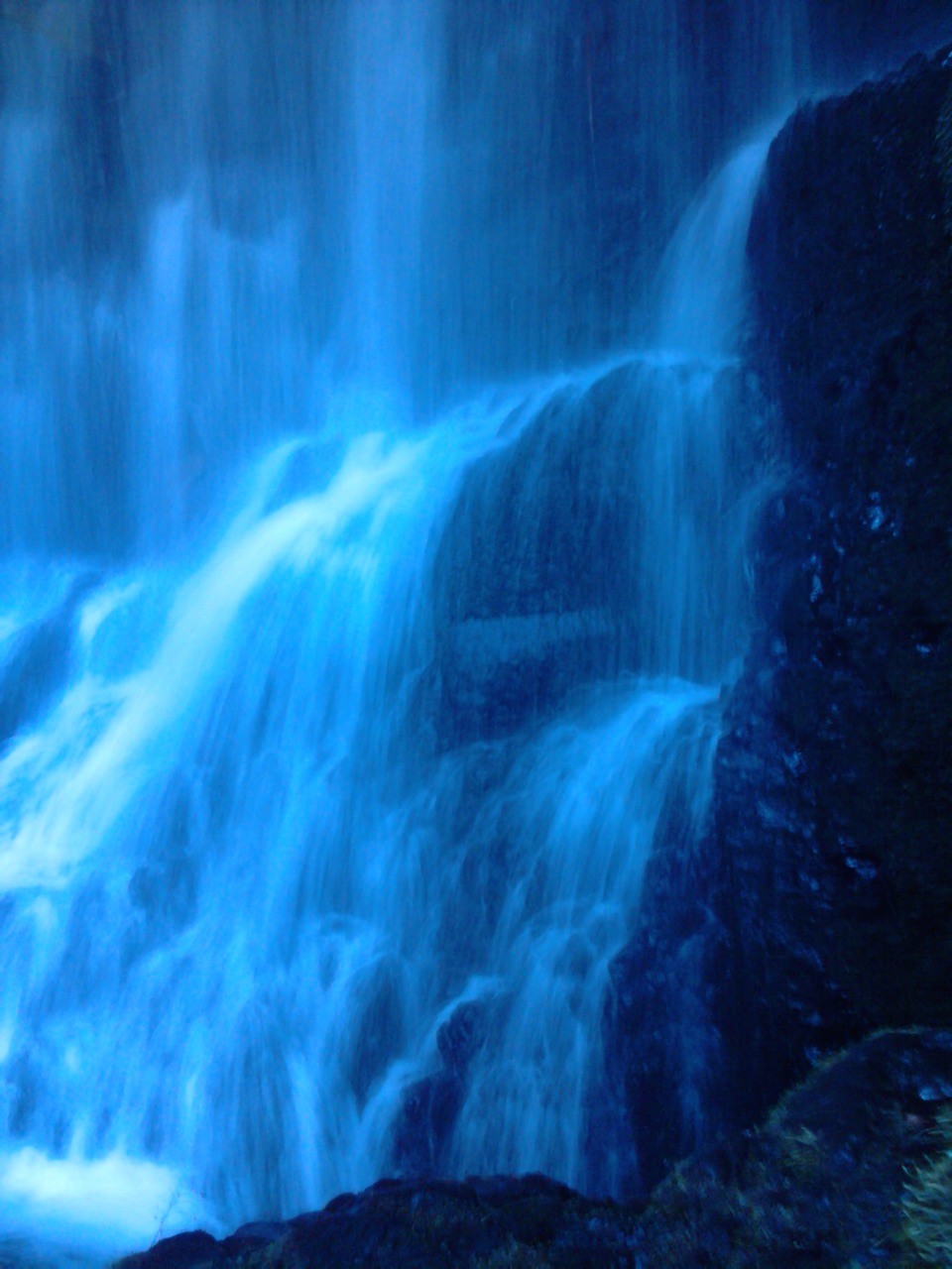 ModerateStarvation Ridge Loop2.5 mi · 2 hr · 0.2 mi awayThree waterfalls and a ridge view reward a steep little loop.
 ChallengingDog Mountain Loop6.9 mi · 5 hr · 1.1 mi awaySpring balsamroot and a serious climb above the Columbia.
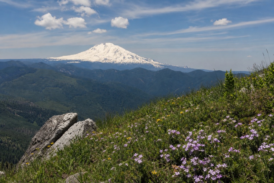 ChallengingAugspurger Mountain Trail12.5 mi · 9 hr · 1.1 mi awayThe summit is wooded; keep going to the open ridge.
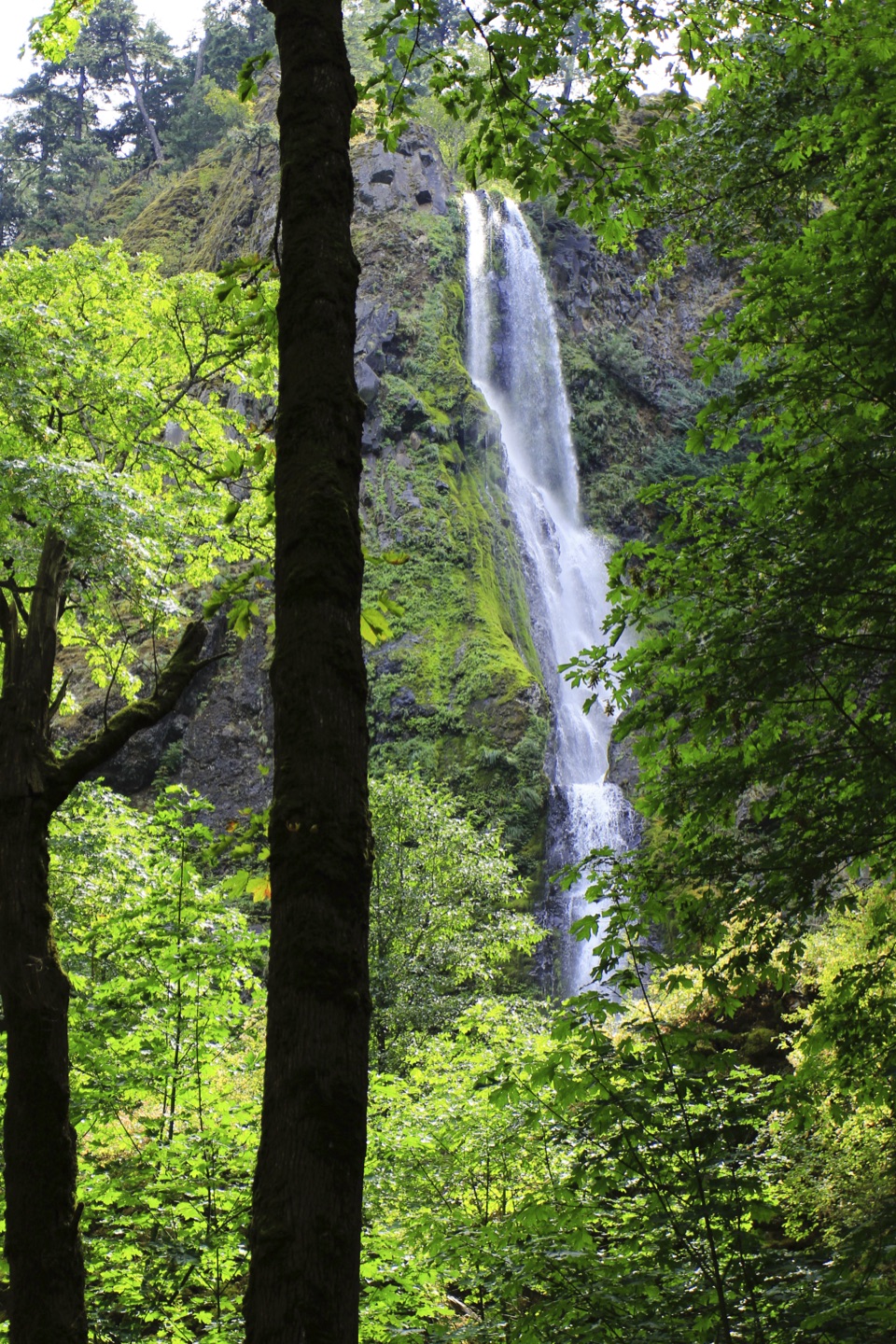 EasyViento State Park to Lindsey Creek5 mi · 2.5 hr · 1.2 mi awayFour waterfalls and river views on a gently graded paved walk.
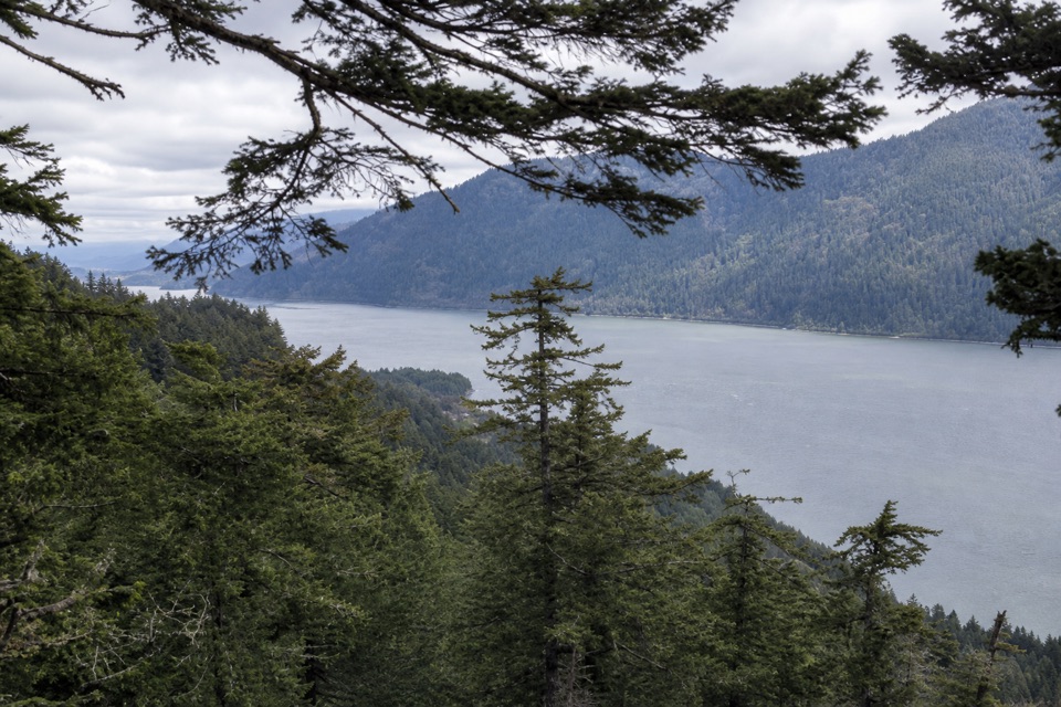 ModerateWygant Peak Trail9 mi · 5.5 hr · 3.7 mi awayThe summit hides its best view in the meadow below.Sight · 0.2 mi awayStarvation Creek FallsA short walk to a waterfall with a story of snowbound trains.
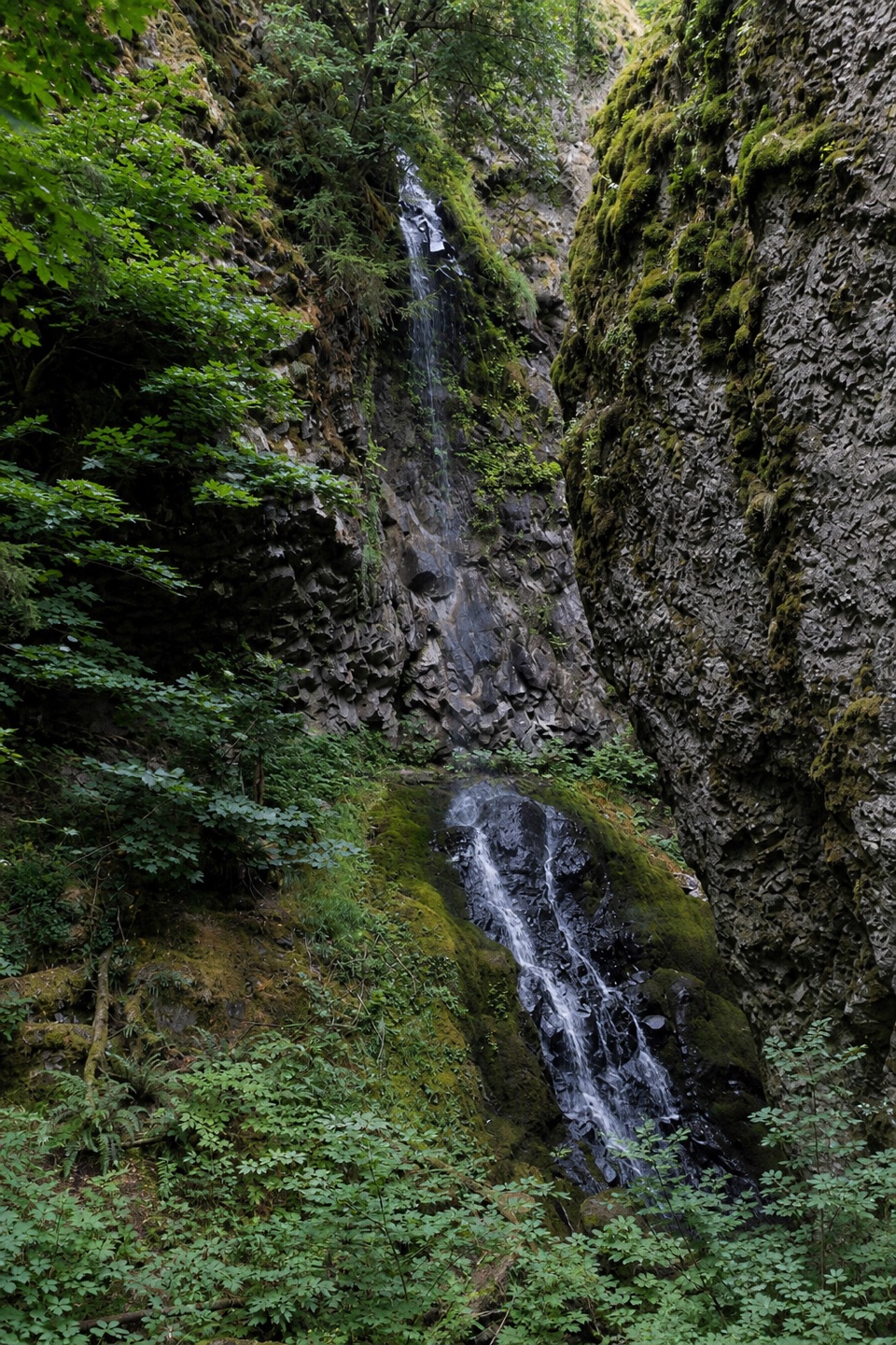 Sight · 0.3 mi awayCabin Creek FallsA two-tier fall threads through a mossy basalt cleft.
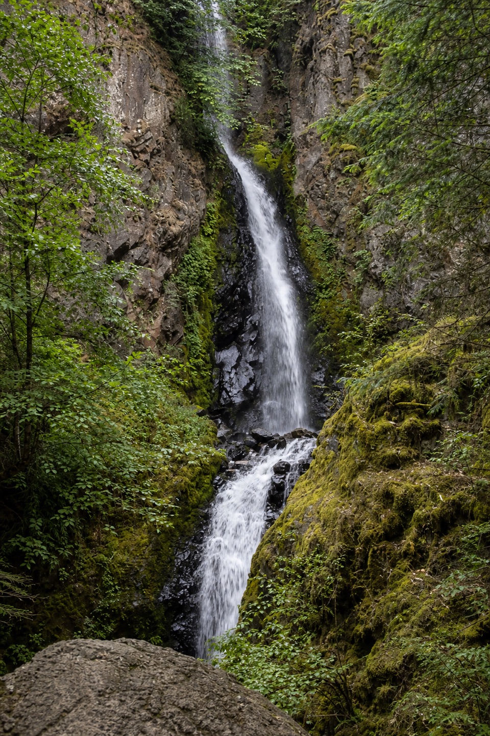 Sight · 0.5 mi awayHole-in-the-Wall FallsA paved path reaches a waterfall created to save the highway.
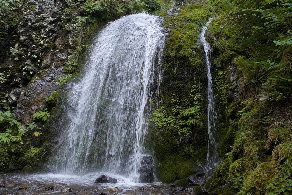 Sight · 0.8 mi awayLancaster FallsThe trail-side view catches only the lowest cascade.
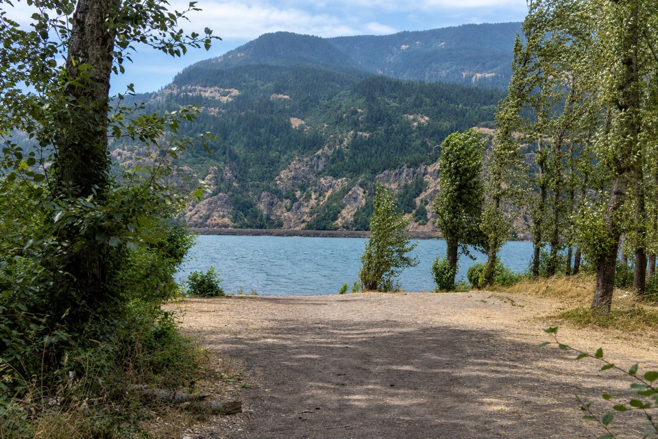 Campground · 1.1 mi awayViento State Park & CampgroundCamp beside the Columbia, with an accessible trail to waterfalls.
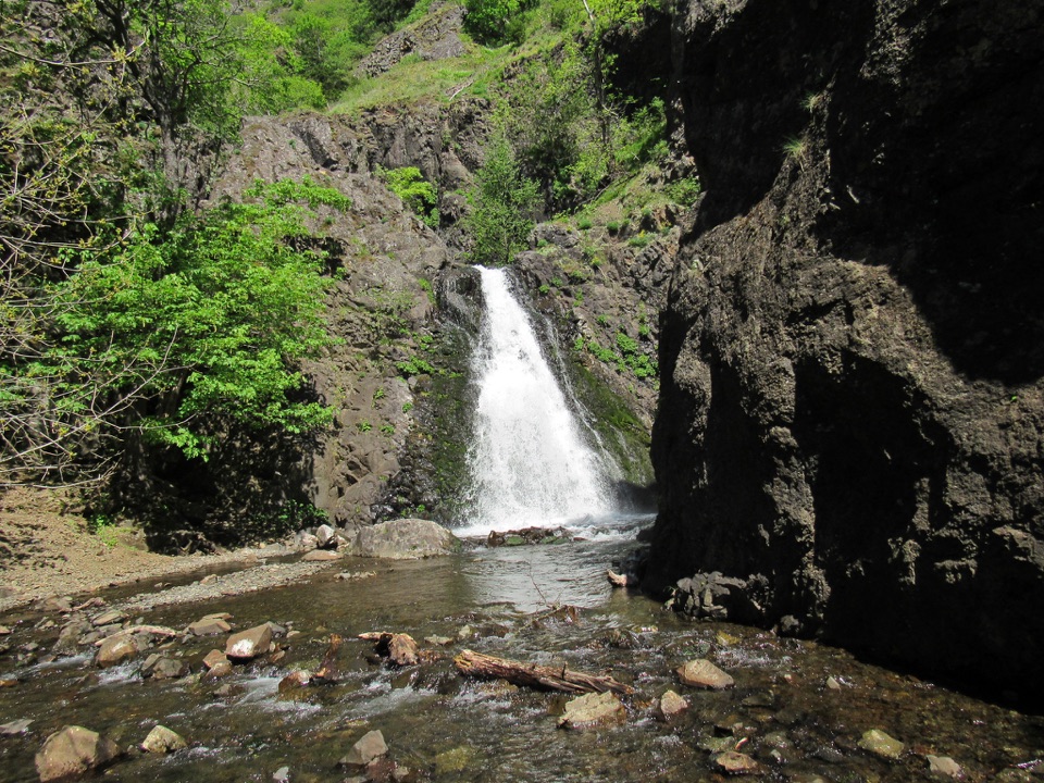 Sight · 1.8 mi awayDog Creek FallsA quick roadside stop for a waterfall and its small canyon.
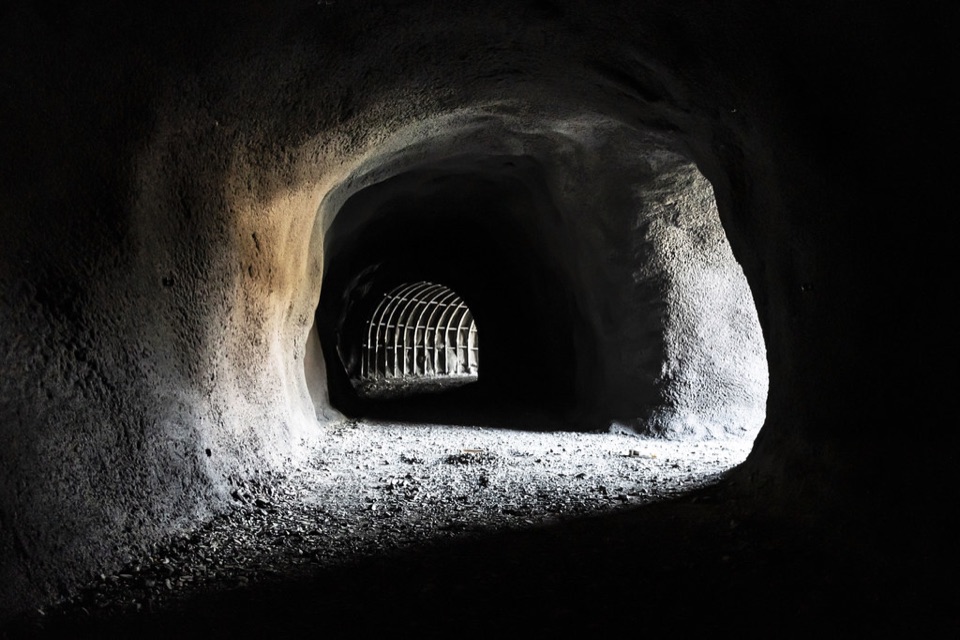 Sight · 3.7 mi awayMitchell Point TunnelFive arched windows frame the river from inside the cliff.
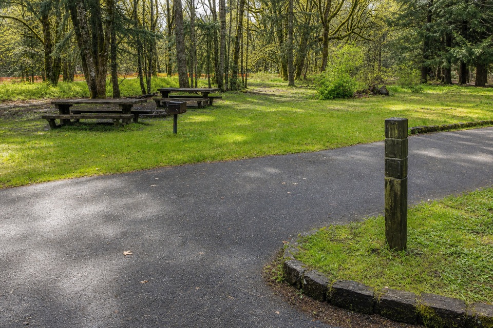 Campground · 3.9 mi awayWyeth CampgroundPaved bike trail rides start right beside this wooded campground.
Parkwolf’s Columbia River Gorge ranking
The audio tour guide for the drive, plus offline maps, trails, and wildlife heatmaps for when the signal drops.




