Parking
Use Wahkeena Falls Day Use/Picnic Area/Trailhead parking on the north side of Historic Columbia River Highway. Cross to the signed start just west of the falls viewing platform on the south side.
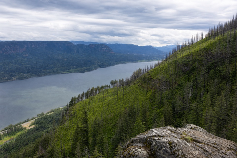
Columbia River Gorge National Scenic Area, OR · WA
Waterfalls and Gorge views arrive before the shaded summit.
Overview
Map & elevation
Plan your hike

The highest, rockiest slopes around here are a summer buffet for grizzly bears.
Columbia River Gorge Tour Guide
Parkwolf is a GPS audio tour guide for Columbia River Gorge National Scenic Area. As you drive, it chimes in with what’s ahead: hidden gems, upcoming stops, history, geology, and wildlife, right through your car’s speakers.
Recorded for this area
Wahkeena Falls“You're approaching Wahkeena Falls, where a short walk leads to tiered water in a mossy gorge. The lower overlook is the quick reward; continue uphill to the stone bridge at the foot of the falls for a closer look.”
Plays near this trailhead in the Parkwolf Columbia River Gorge Tour Guide.
More stories near here in the app
“Fantastic app with many points of information… It’s great to just turn on while you’re driving and it gives you an audio tour of the national Park. We love it!!!!”


Trail guide
Devil’s Rest is a 6.7-mile out-and-back from Wahkeena Falls Day Use/Picnic Area/Trailhead. Follow Wahkeena Trail #420 to the junction with Devil’s Rest Trail #420C, climb to the summit, then retrace the same way. The walk is about 3.35 miles each way and takes roughly five hours. The destination is a rocky outcrop among trees; the Gorge views are along the route, not a broad summit panorama.
The approach has more to look at than the name suggests. Wahkeena Creek drops through several falls, and Fairy Falls, about 1.1 miles up the trail, is a short fan-shaped cascade. Beyond the junction, old-growth forest and patchy post-fire regrowth frame occasional openings toward the Columbia River Gorge. On a clear day, Mount Adams can appear from the upper ridge. Choose this for a sustained forest climb with scenery breaks, not for a big summit view.
The signed start is just west of the Wahkeena Falls viewing platform. The lower trail reaches a stone bridge over Wahkeena Creek, then climbs quickly through switchbacks that can catch spray from the falls. Continue past Fairy Falls to the #420C junction. The first stretch of #420C is steep; after the ridge, the grade eases and the trail heads west past rocky ledges and intermittent Gorge views. One especially good outlook is reached by a short brushy side path about 0.2 mile before the summit. Near the end, take the right-hand branch at the signed Y and walk about 50 feet north to the rocky outcrop and survey marker.
Park at Wahkeena Falls Day Use/Picnic Area/Trailhead on the north side of Historic Columbia River Highway, then cross to the start on the south side, just west of the falls platform. Expect roughly 2,300 feet of climbing over natural-ground trail. The route is listed as year-round but snow-dependent. Waterfall spray can leave the lower switchbacks treacherously icy in winter, and the trail may remain open when icy; traction devices can be necessary. Dogs are allowed on leash, and there is no fee.
Wildlife
 267 sightingsBald EagleMost seen around 7 AMSighting map
 51 sightingsBlack BearMost seen around 7 PMSighting map
 136 sightingsAmerican PikaMost seen around 8 AMSighting map
 16 sightingsWapitiMost seen around 7 AMSighting map
 195 sightingsMule DeerMost seen around 7 AMSighting map
 74 sightingsChinook SalmonMost seen around 6 PMSighting map
Sighting maps show where each species has been reported across Columbia River Gorge. Wildlife moves, so no sighting is guaranteed.
Keep exploring
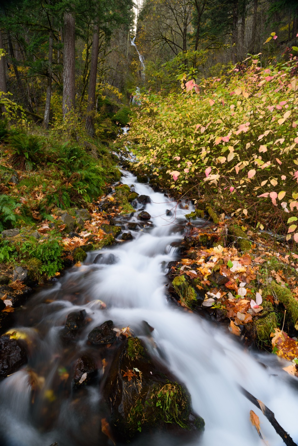 ModerateWahkeena Falls Trail to Lemmons Viewpoint1.5 mi · 1.5 hr · At the trailheadA stone bridge, plunging falls, and a Gorge overlook on one climb.
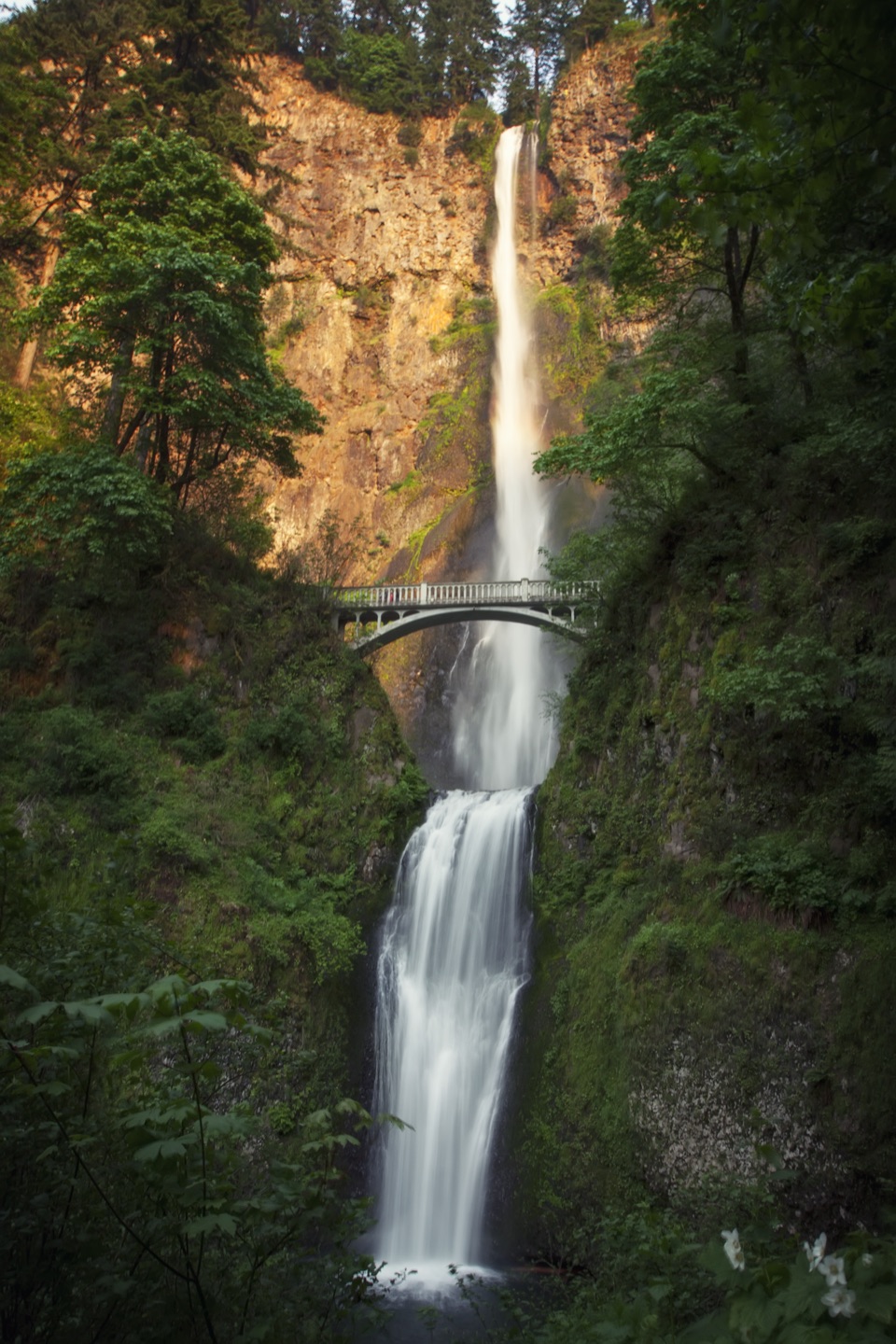 ChallengingMultnomah Falls–Franklin Ridge Loop12.4 mi · 8.5 hr · 0.5 mi awayBig waterfalls down low, a rugged ridge crossing, and a long climb.
 ChallengingMultnomah Falls to Devil’s Rest8.4 mi · 5.5 hr · 0.5 mi awayFalls, creek cascades, and a wooded summit reward the long climb.
 ChallengingMultnomah–Wahkeena Falls Loop4.8 mi · 4 hr · 0.5 mi awayA steep loop links Multnomah and Wahkeena with hidden cascades.
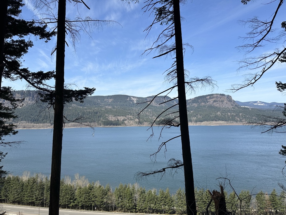 ChallengingLarch Mountain Trail #4416.8 mi · 7 hr · 0.6 mi awayFalls crowds fade into a quiet creek and ridge climb.
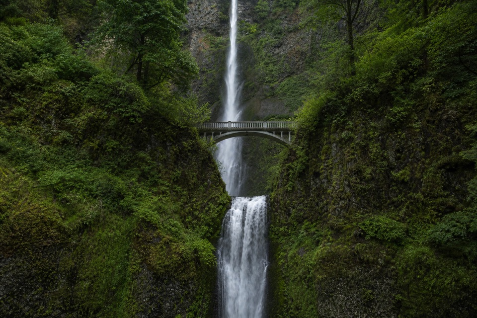 ChallengingMultnomah Falls to Sherrard Point via Larch Mountain Trail14.2 mi · 10 hr · 0.6 mi awayFour waterfalls, a creek gorge, and a hard summit climb.
 ModerateMultnomah Falls Trail to the Top2.4 mi · 1.8 hr · 0.6 mi awayClimb eleven switchbacks to a wooden overlook over the upper falls
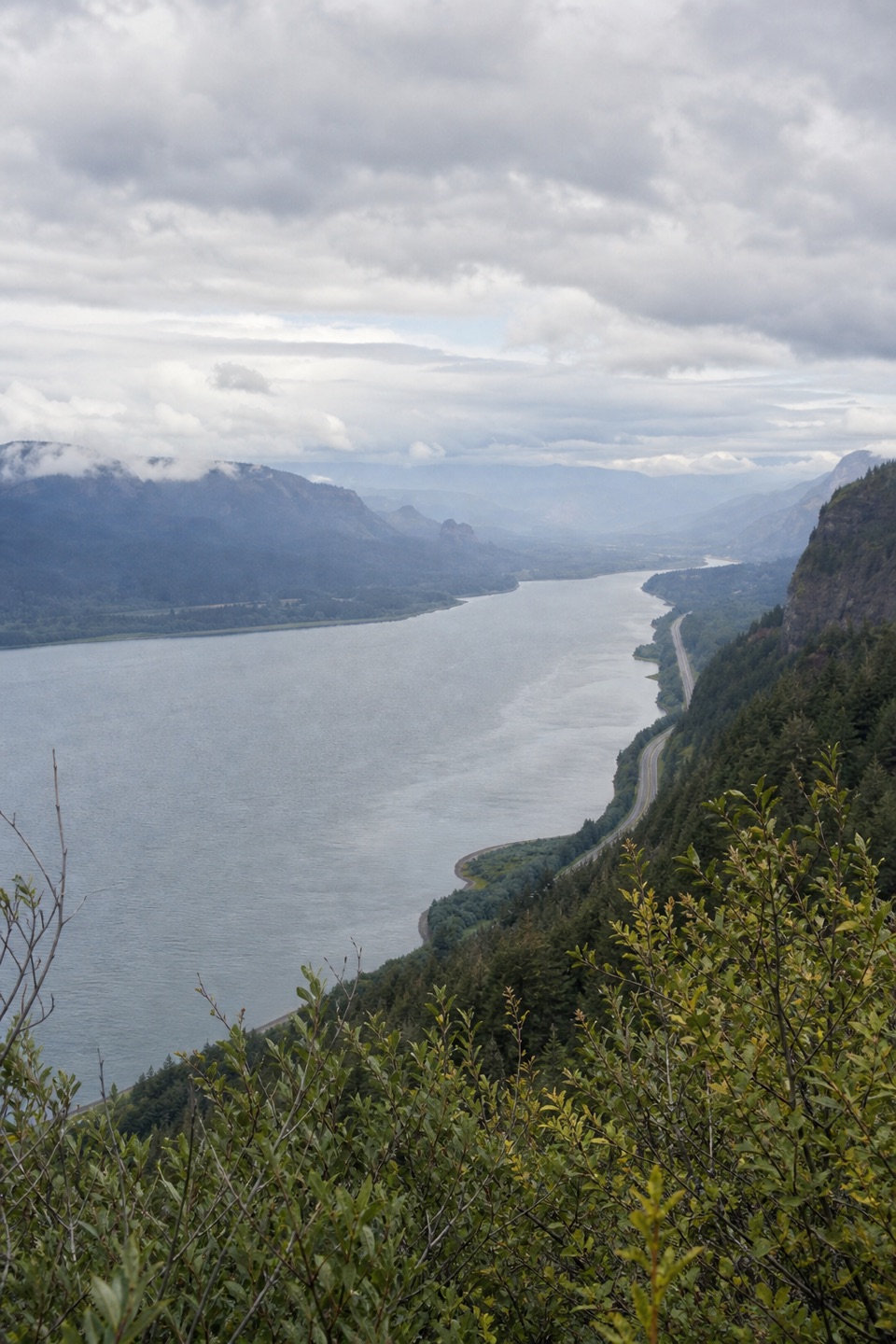 ModerateVista Point Trail #4190.8 mi · 30 min · 0.6 mi awayA short upper trail trades the spring stop for a river view.
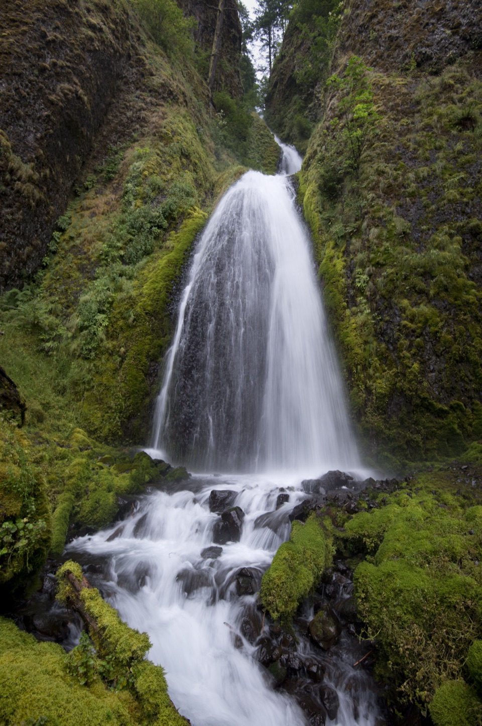 Sight · 0.1 mi awayWahkeena FallsA 242-foot cascade with a stone bridge at its foot.
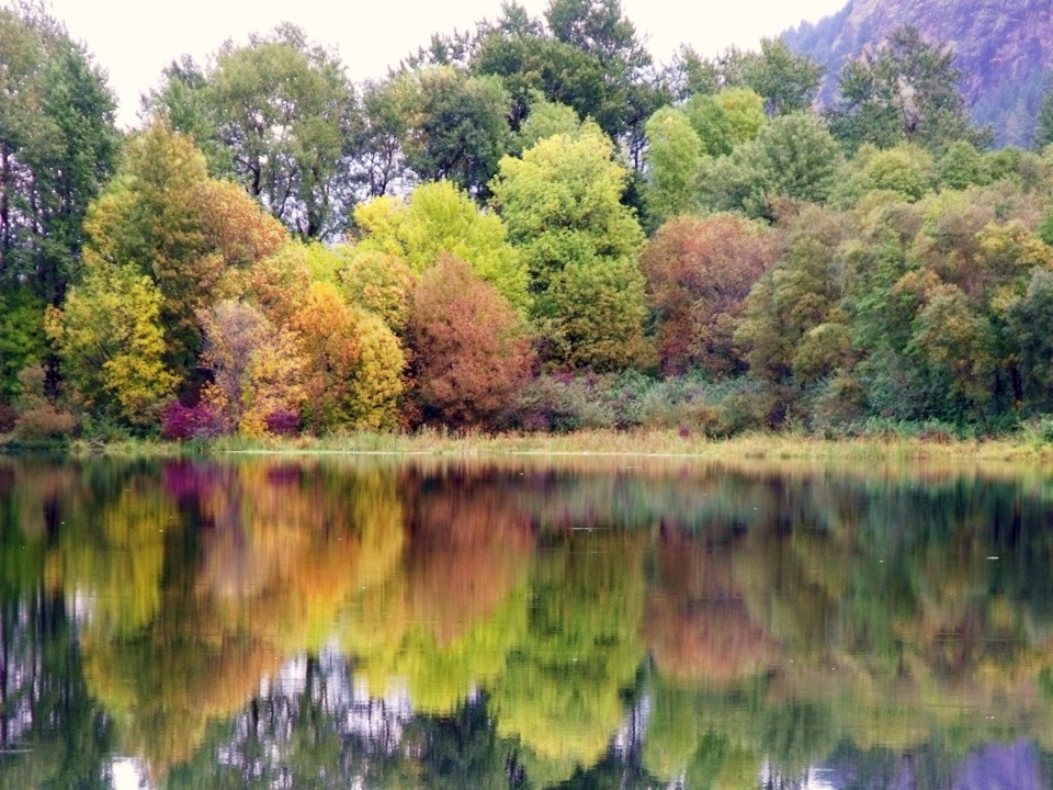 Sight · 0.4 mi awayBenson State Recreation AreaA lake swim and a round of disc golf in one stop.Sight · 0.4 mi awayFairy FallsA fan-shaped creek waterfall with a bench beside the trail.
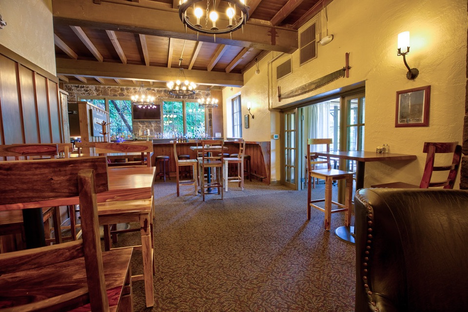 Sight · 0.5 mi awayMultnomah Falls LodgeA 1925 lodge for dining and visitor services beneath Multnomah Falls.Sight · 0.6 mi awayMultnomah FallsA two-tier waterfall with a 1914 footbridge between its drops.
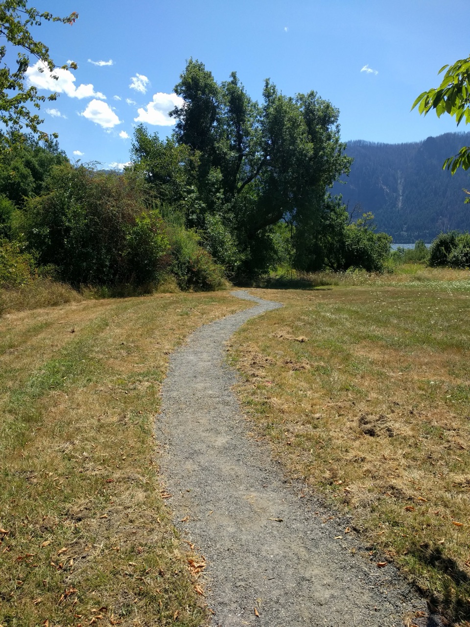 Picnic area · 1.9 mi awaySt. Cloud Day Use AreaA river picnic with views and an old apple orchard.
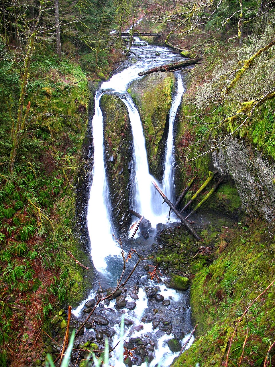 Sight · 2.7 mi awayTriple FallsThree creek-fed cascades reward a steep, rocky climb.
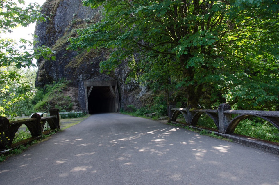 Sight · 2.7 mi awayOneonta GorgeA lichen-lined slot canyon, still closed after the 2017 fire.
Parkwolf’s Columbia River Gorge ranking

The audio tour guide for the drive, plus offline maps, trails, and wildlife heatmaps for when the signal drops.



