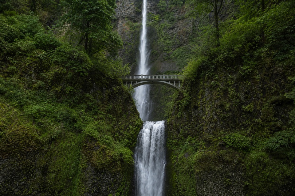
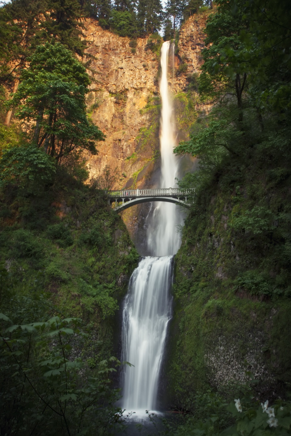
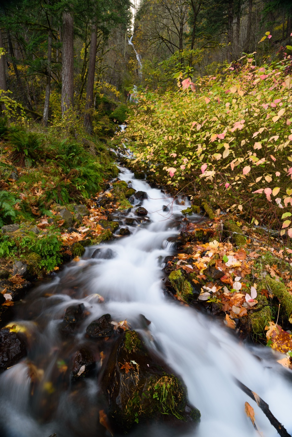
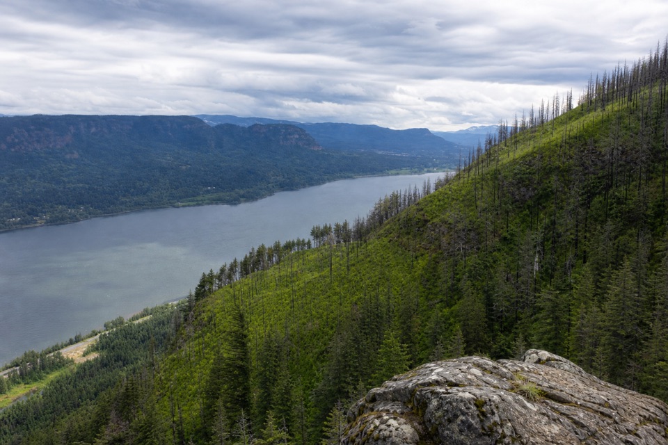
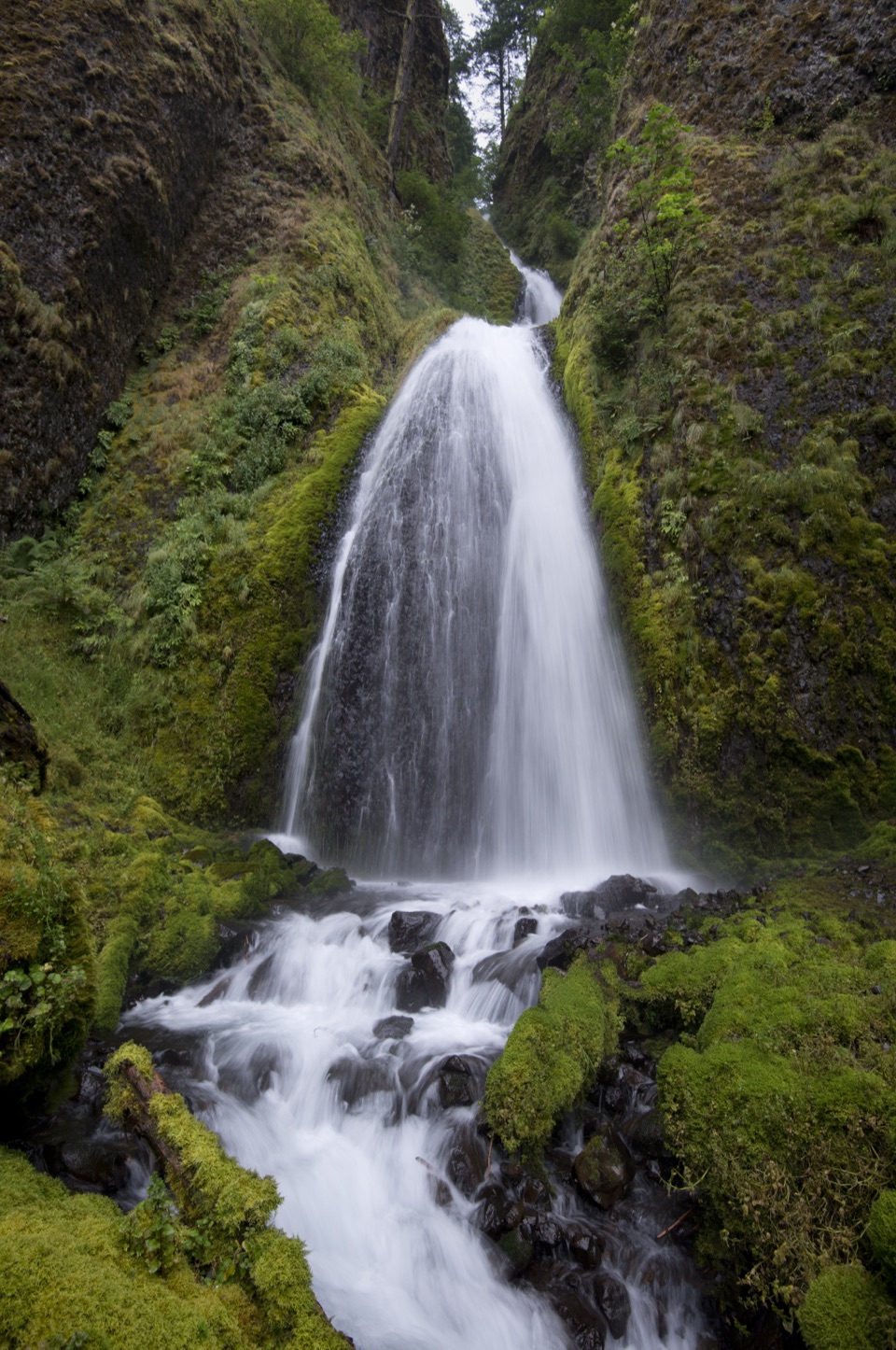
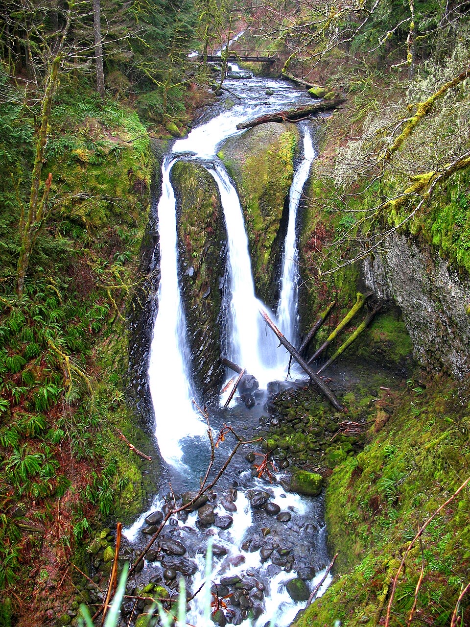
Start up the stairs to Benson Bridge, then take the steep paved switchbacks above the falls; the upper viewpoint looks back over both tiers and the bridge. The tread narrows and turns rocky beside Multnomah Creek, passing Wiesendanger and Ecola Falls. Spring high water can flood this section; a signed bypass keeps the route moving. Past the basin road, #441 enters the Mark O. Hatfield Wilderness and climbs a long ridge among fire-scarred trees, old-growth forest, log bridges, and boggy ground near the upper end. It finishes at Larch Mountain Day Use. A separate short walk on Trail #443 reaches Sherrard Point, a volcanic plug above the crater meadow, with several Cascade peaks visible on clear days. Simon Benson was among the backers of the 1915 trail construction. For a falls photo, frame both tiers and Benson Bridge from the upper viewpoint.