Parking
Park at Wahkeena Falls Day Use and Picnic Area on the Historic Columbia River Highway, about half a mile west of Multnomah Falls. Restrooms are at the trailhead.
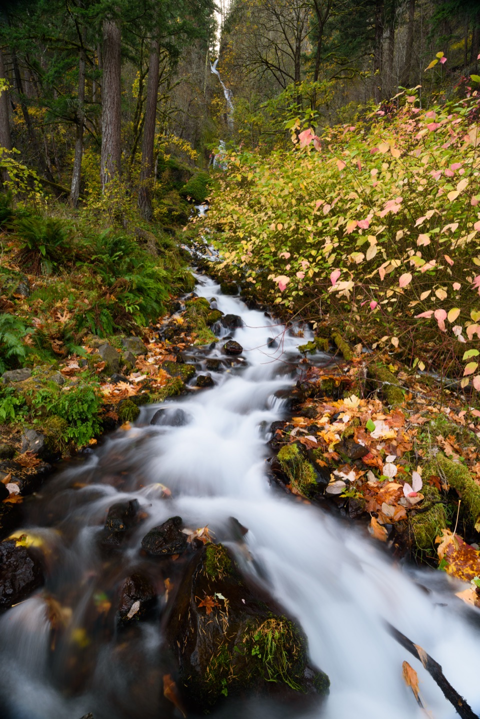
Columbia River Gorge National Scenic Area, OR · WA
A stone bridge, plunging falls, and a Gorge overlook on one climb.
Overview
Map & elevation
Plan your hike

The highest, rockiest slopes around here are a summer buffet for grizzly bears.
Columbia River Gorge Tour Guide
Parkwolf is a GPS audio tour guide for Columbia River Gorge National Scenic Area. As you drive, it chimes in with what’s ahead: hidden gems, upcoming stops, history, geology, and wildlife, right through your car’s speakers.
Recorded for this trailhead
Wahkeena Falls“You're approaching Wahkeena Falls, where a short walk leads to tiered water in a mossy gorge. The lower overlook is the quick reward; continue uphill to the stone bridge at the foot of the falls for a closer look.”
Plays as you drive up to this trailhead in the Parkwolf Columbia River Gorge Tour Guide.
More stories near here in the app
“Fantastic app with many points of information… It’s great to just turn on while you’re driving and it gives you an audio tour of the national Park. We love it!!!!”


Trail guide
Wahkeena Falls Trail to Lemmons Viewpoint is a 1.5-mile round-trip out-and-back from the Historic Columbia River Highway. The mapped trail runs about three-quarters of a mile each way; you return on the same path. The lower waterfall is only about 0.2 mile from the trailhead, so you can make this a quick falls stop, but the climb to the viewpoint is the part that turns it into a hike. Allow about 1½ hours for the full outing.
Start on the highway’s south side, cross the wooden bridge over Wahkeena Creek, and take the right fork onto Trail #420; the left branch is the Return Trail toward Multnomah Falls. A long paved switchback climbs to the stone bridge at the foot of Wahkeena Falls, where water drops through two horsetail-shaped tiers. The barrel-arch bridge dates to 1914. Spray can drift across the path, especially when wind pushes it off the falls.
Above the bridge, steep paved switchbacks gain roughly 400 feet over the next half-mile. Views of the Columbia Gorge open a little more with each turn. At the ridge, take the short spur to Lemmons Viewpoint for broad views both upriver and downriver. The overlook is named for Keith L. Lemmons, an Oregonian who died fighting a Nevada wildfire in 1983. This route turns back here; the longer #420 trail continues toward Fairy Falls.
The trailhead is the Wahkeena Falls Day Use and Picnic Area, about half a mile west of Multnomah Falls; restrooms are there. A paved approach serves the lower-falls viewing platform, but the steep climb beyond it is not the accessible portion of the walk. Waterfall spray makes the pavement slick, and winter ice can be treacherous. The nearby Necktie scramble is a separate, hazardous side route with loose rock and an exposed edge; it is not part of this itinerary. Dogs are allowed, but published leash guidance conflicts, so follow the posted rule. There is no food service on this route; Multnomah Falls Lodge is a separate nearby stop.
Wildlife
 267 sightingsBald EagleMost seen around 7 AMSighting map
 51 sightingsBlack BearMost seen around 7 PMSighting map
 136 sightingsAmerican PikaMost seen around 8 AMSighting map
 16 sightingsWapitiMost seen around 7 AMSighting map
 195 sightingsMule DeerMost seen around 7 AMSighting map
 74 sightingsChinook SalmonMost seen around 6 PMSighting map
Sighting maps show where each species has been reported across Columbia River Gorge. Wildlife moves, so no sighting is guaranteed.
Keep exploring
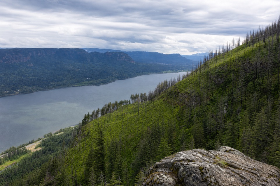 ChallengingDevil's Rest Trail6.7 mi · 5.3 hr · At the trailheadWaterfalls and Gorge views arrive before the shaded summit.
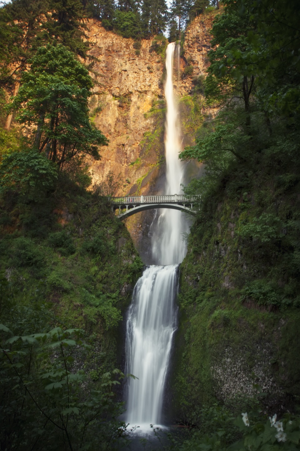 ChallengingMultnomah Falls–Franklin Ridge Loop12.4 mi · 8.5 hr · 0.5 mi awayBig waterfalls down low, a rugged ridge crossing, and a long climb.
 ChallengingMultnomah Falls to Devil’s Rest8.4 mi · 5.5 hr · 0.5 mi awayFalls, creek cascades, and a wooded summit reward the long climb.
 ChallengingMultnomah–Wahkeena Falls Loop4.8 mi · 4 hr · 0.5 mi awayA steep loop links Multnomah and Wahkeena with hidden cascades.
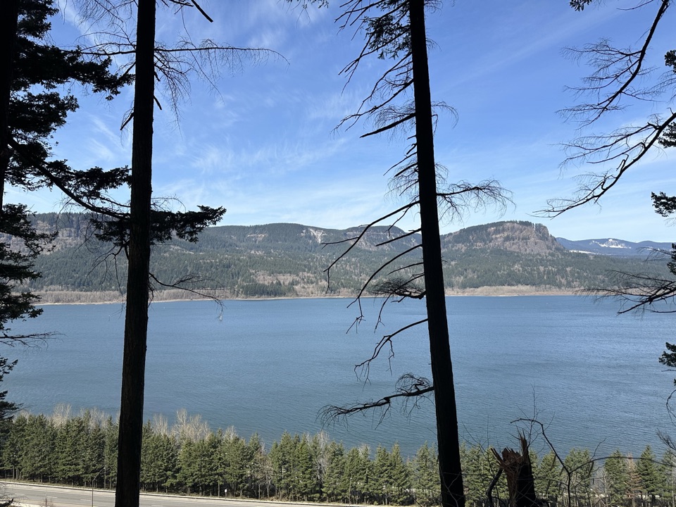 ChallengingLarch Mountain Trail #4416.8 mi · 7 hr · 0.6 mi awayFalls crowds fade into a quiet creek and ridge climb.
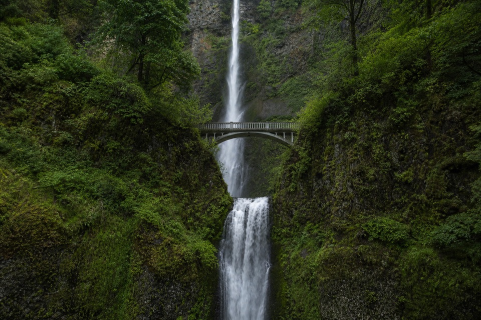 ChallengingMultnomah Falls to Sherrard Point via Larch Mountain Trail14.2 mi · 10 hr · 0.6 mi awayFour waterfalls, a creek gorge, and a hard summit climb.
 ModerateMultnomah Falls Trail to the Top2.4 mi · 1.8 hr · 0.6 mi awayClimb eleven switchbacks to a wooden overlook over the upper falls
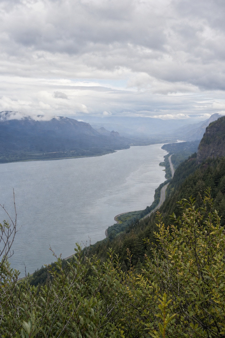 ModerateVista Point Trail #4190.8 mi · 30 min · 0.6 mi awayA short upper trail trades the spring stop for a river view.
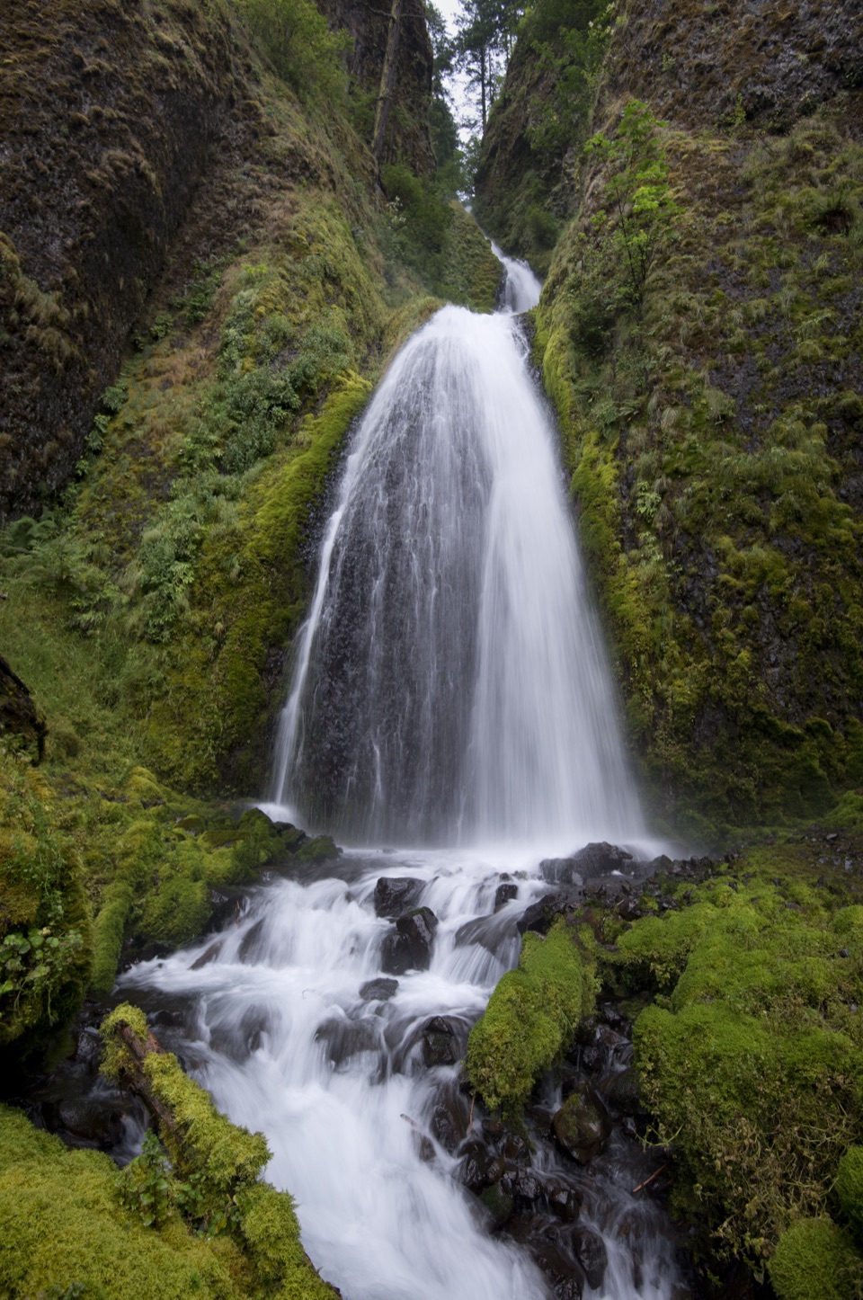 Sight · 0.1 mi awayWahkeena FallsA 242-foot cascade with a stone bridge at its foot.
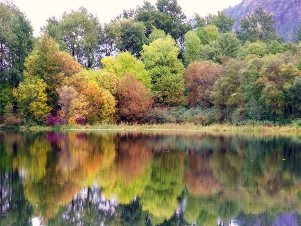 Sight · 0.4 mi awayBenson State Recreation AreaA lake swim and a round of disc golf in one stop.Sight · 0.4 mi awayFairy FallsA fan-shaped creek waterfall with a bench beside the trail.
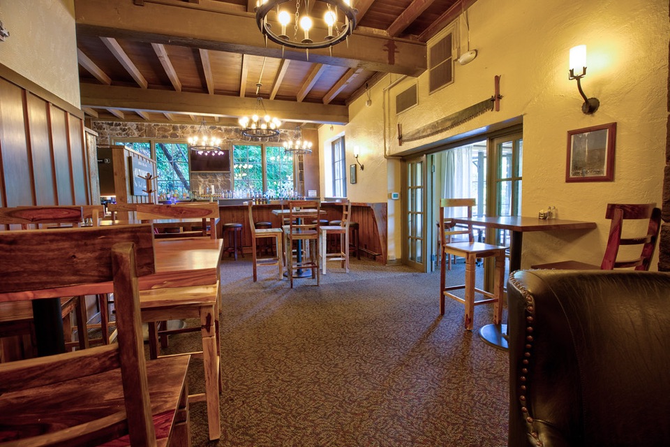 Sight · 0.5 mi awayMultnomah Falls LodgeA 1925 lodge for dining and visitor services beneath Multnomah Falls.Sight · 0.6 mi awayMultnomah FallsA two-tier waterfall with a 1914 footbridge between its drops.
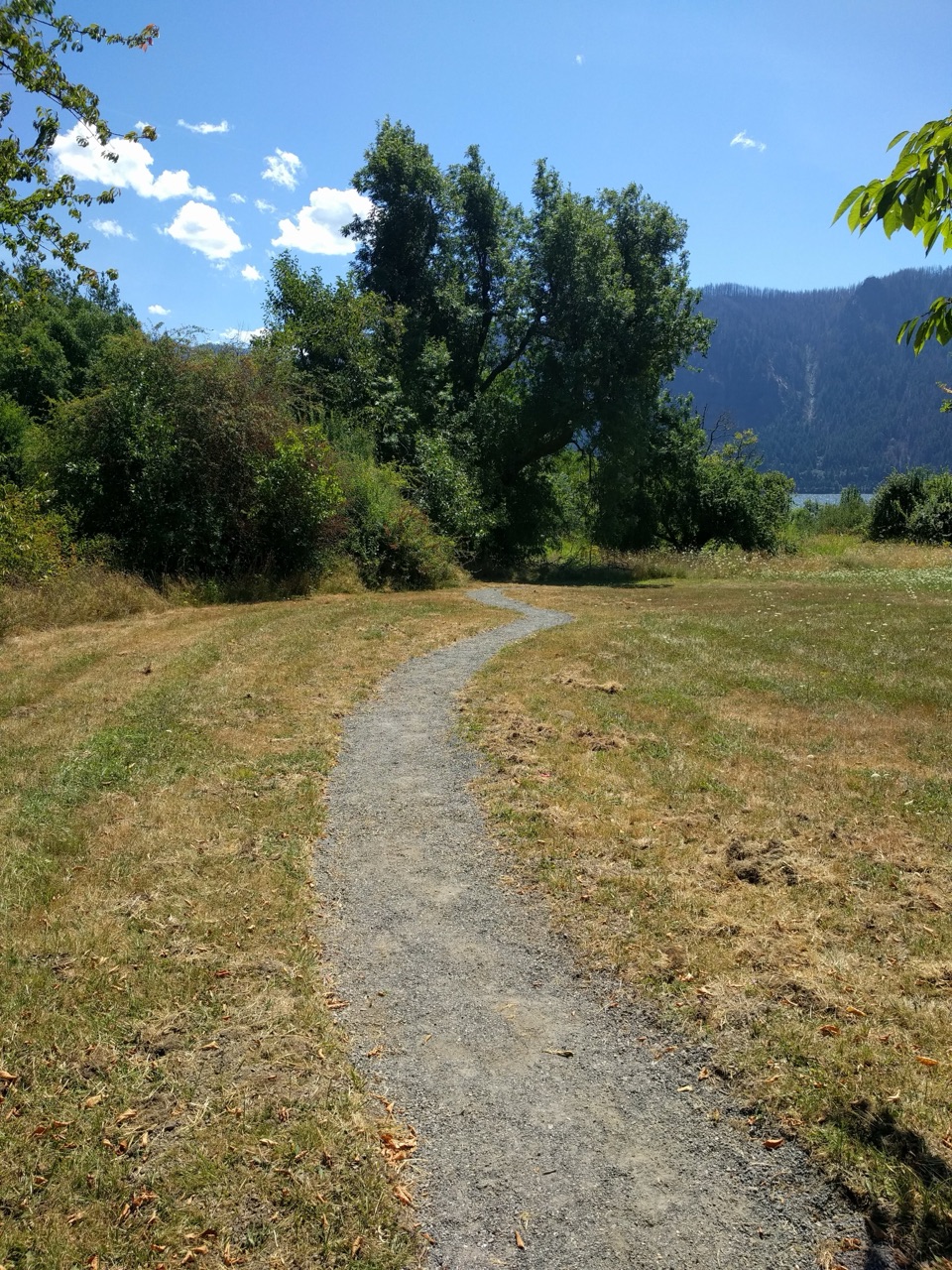 Picnic area · 1.9 mi awaySt. Cloud Day Use AreaA river picnic with views and an old apple orchard.
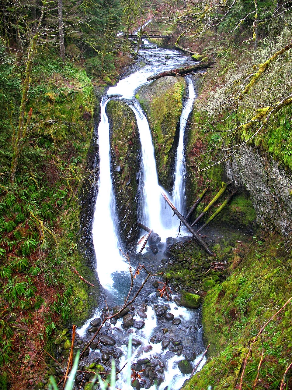 Sight · 2.7 mi awayTriple FallsThree creek-fed cascades reward a steep, rocky climb.
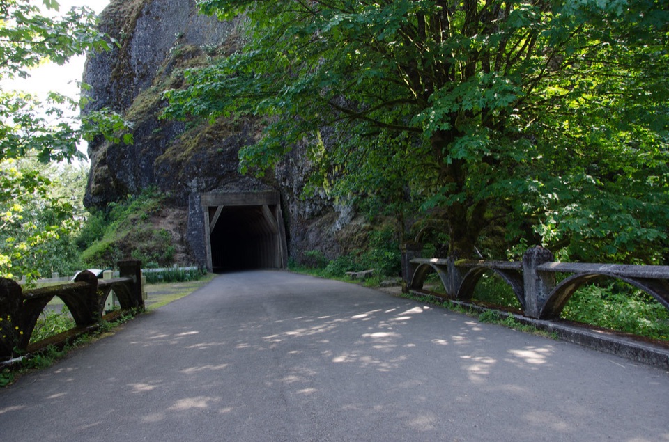 Sight · 2.7 mi awayOneonta GorgeA lichen-lined slot canyon, still closed after the 2017 fire.
Parkwolf’s Columbia River Gorge ranking

The audio tour guide for the drive, plus offline maps, trails, and wildlife heatmaps for when the signal drops.



