Parking
Use the gravel day-use parking beside Old Highway 8 at Catherine Creek Trailhead. The #4400 entrance is across the road on the south side; cross carefully.
Columbia River Gorge National Scenic Area, OR · WA
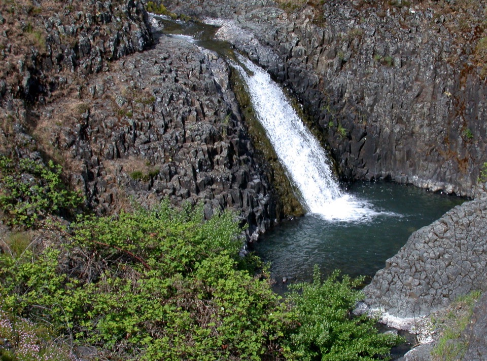
A paved mile through wildflower slopes to the Catherine Creek Falls view.
Overview
Map & elevation
Plan your hike

The highest, rockiest slopes around here are a summer buffet for grizzly bears.
Columbia River Gorge Tour Guide
Parkwolf is a GPS audio tour guide for Columbia River Gorge National Scenic Area. As you drive, it chimes in with what’s ahead: hidden gems, upcoming stops, history, geology, and wildlife, right through your car’s speakers.
Recorded for this trailhead
Catherine Creek Interpretive Trail“You're approaching the Catherine Creek Interpretive Trail, a paved loop through grassland and scattered oaks to a view of Catherine Creek Falls.”
Plays as you drive up to this trailhead in the Parkwolf Columbia River Gorge Tour Guide.
More stories near here in the app
“Fantastic app with many points of information… It’s great to just turn on while you’re driving and it gives you an audio tour of the national Park. We love it!!!!”


Trail guide
Catherine Creek Interpretive Trail #4400 is a paved loop of about one mile round trip through open grassland, scattered oaks and ponderosa pine, with a viewpoint of Catherine Creek Falls. The path also passes sculpted rock and opens to Columbia Gorge views. Spring wildflowers are the main draw, and signs share local history. This south-side Universal Access Loop is separate from the 1.9-mile Catherine Creek Loop to the natural arch.
From the south-side entrance, follow the paved path to the loop junction and turn left. Interpretive signs come before the falls viewpoint; after it, switchbacks drop to a bridge over a vernal pool that fills and dries with the season. Pass the uphill shortcut, a few oaks that give the walk its rare shade, and a small bluff before climbing back to close the loop. The west side looks out toward Mount Hood and the Columbia. Allow 45 to 60 minutes with stops. For photos, frame the waterfall against the dark rock, or catch the river and Mount Hood from the grassy slope.
Use the gravel day-use parking beside Old Highway 8, north of the road, then cross carefully to the trail entrance south of it. No pass is required. A portable toilet is at the trailhead, but there is no potable water. Dogs must be leashed. The four-foot pavement has uneven, puckered sections and reaches a 10% grade; both the steep pavement and rough gravel lot can make wheelchair, walker and stroller access difficult.
Wildlife
 267 sightingsBald EagleMost seen around 7 AMSighting map
 51 sightingsBlack BearMost seen around 7 PMSighting map
 136 sightingsAmerican PikaMost seen around 8 AMSighting map
 16 sightingsWapitiMost seen around 7 AMSighting map
 195 sightingsMule DeerMost seen around 7 AMSighting map
 74 sightingsChinook SalmonMost seen around 6 PMSighting map
Sighting maps show where each species has been reported across Columbia River Gorge. Wildlife moves, so no sighting is guaranteed.
Keep exploring
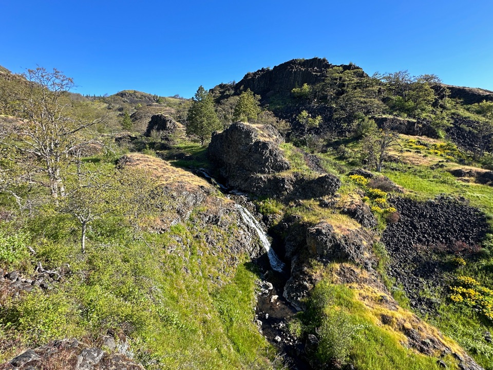 ModerateCatherine Creek Labyrinth3.6 mi · 3 hr · 1.1 mi awayA basalt maze, a creekside waterfall, and a viewpoint worth the climb.
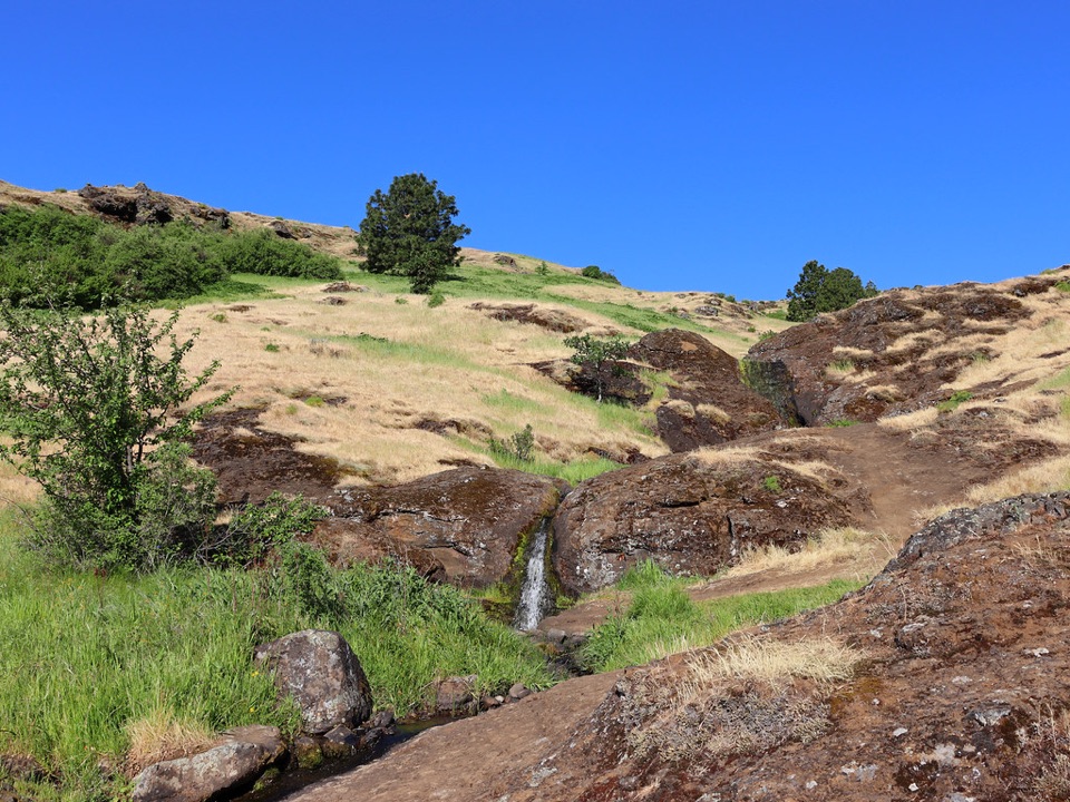 ModerateLittle Maui Trail #44251.1 mi · 45 min · 1.8 mi awayOpen oak meadows give way to streamside cascades.
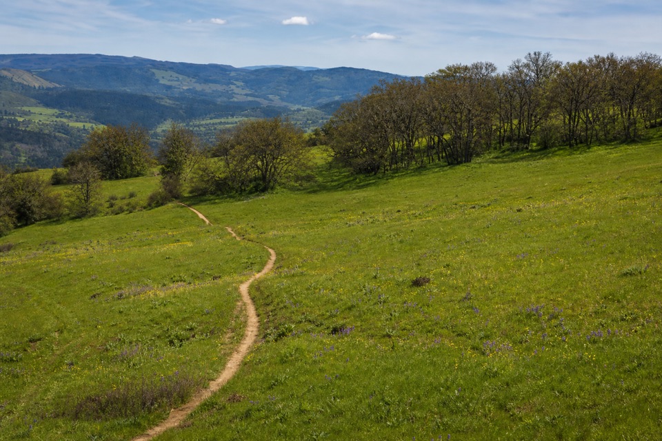 ModerateOld Ranch Road Trail6.4 mi · 4.3 hr · 2 mi awayA long, rocky climb from old pavement to Gorge views.
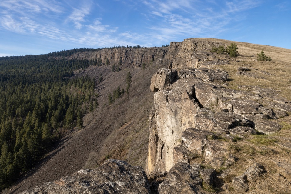 ModerateLittle Moab Trail3.4 mi · 2.5 hr · 2.1 mi awayA rocky basalt rim walk above steep wooded slopes.
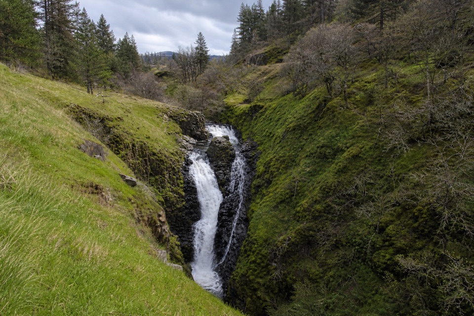 EasyMosier Creek Falls1 mi · 45 min · 2.6 mi awayA quick town walk to an 80-foot, two-tiered waterfall.
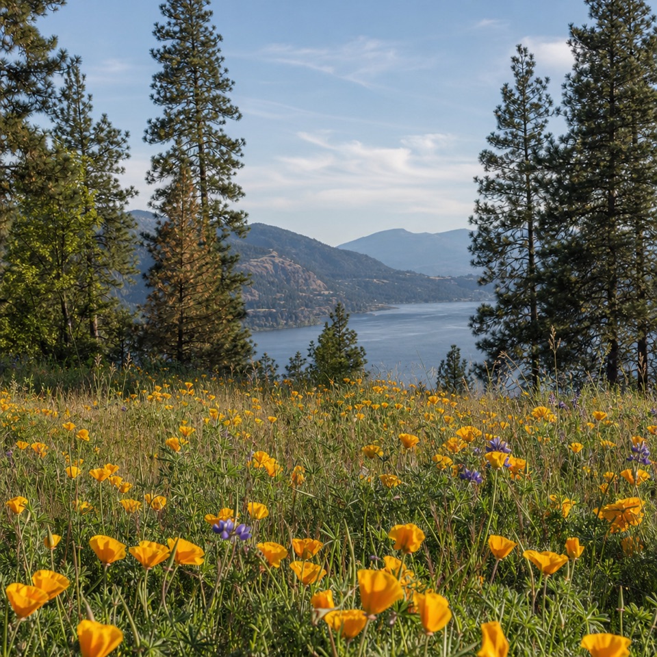 ModerateMosier Plateau Trail3.5 mi · 2.5 hr · 2.6 mi awayA creekside waterfall, spring flowers, then a steep climb to Gorge views.
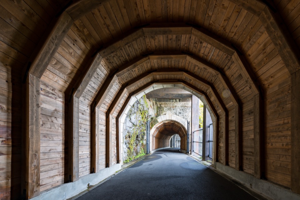 ModerateHistoric Columbia River Highway State Trail — Twin Tunnels Segment4.5 mi · 2.5 hr · 3.1 mi awayWalk the old highway through twin tunnels with framed river views.
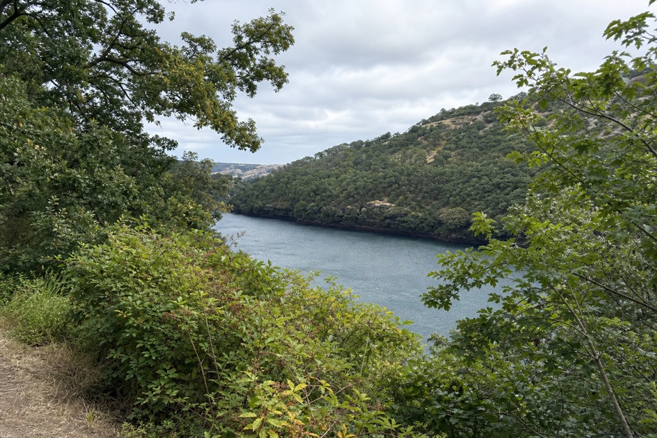 EasyBalfour-Klickitat Loop0.8 mi · 30 min · 3.4 mi awayA short paved loop to a bird blind above the Klickitat.
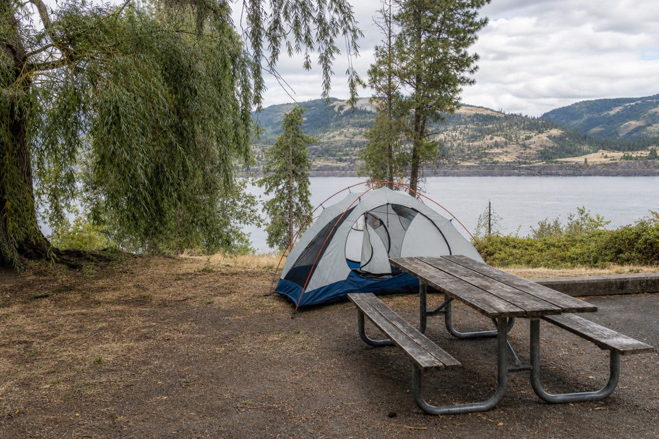 Campground · 1.2 mi awayMemaloose State Park CampgroundCamp beside the Columbia, with Memaloose Island in view.
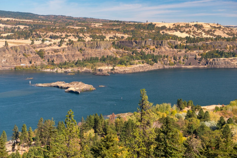 Sight · 1.3 mi awayMemaloose OverlookA quick river view across to Memaloose Island.
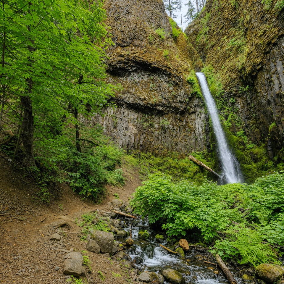 Sight · 2.4 mi awayMosier Creek FallsA quick waterfall stop, with a historic bridge on the way in.
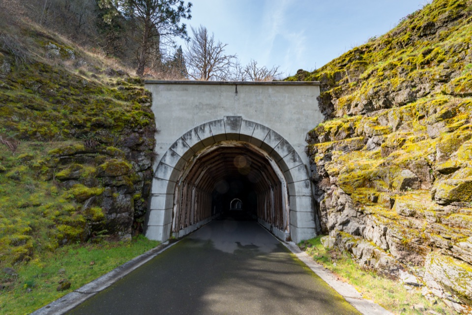 Sight · 3.4 mi awayMosier Twin TunnelsHistoric highway tunnels with windows that frame the Gorge.
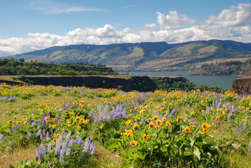 Sight · 3.6 mi awayRowena Crest OverlookSee the Columbia and Rowena Loops together in one roadside view.
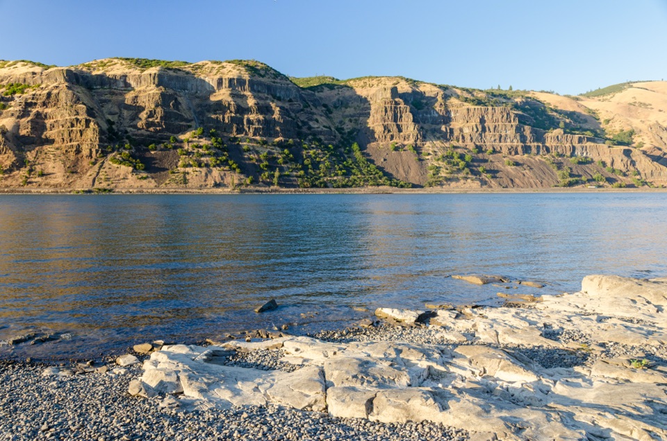 Sight · 4.1 mi awayMayer State Park – River AccessChoose among wind sports, sheltered paddling, or a riverbank picnic.
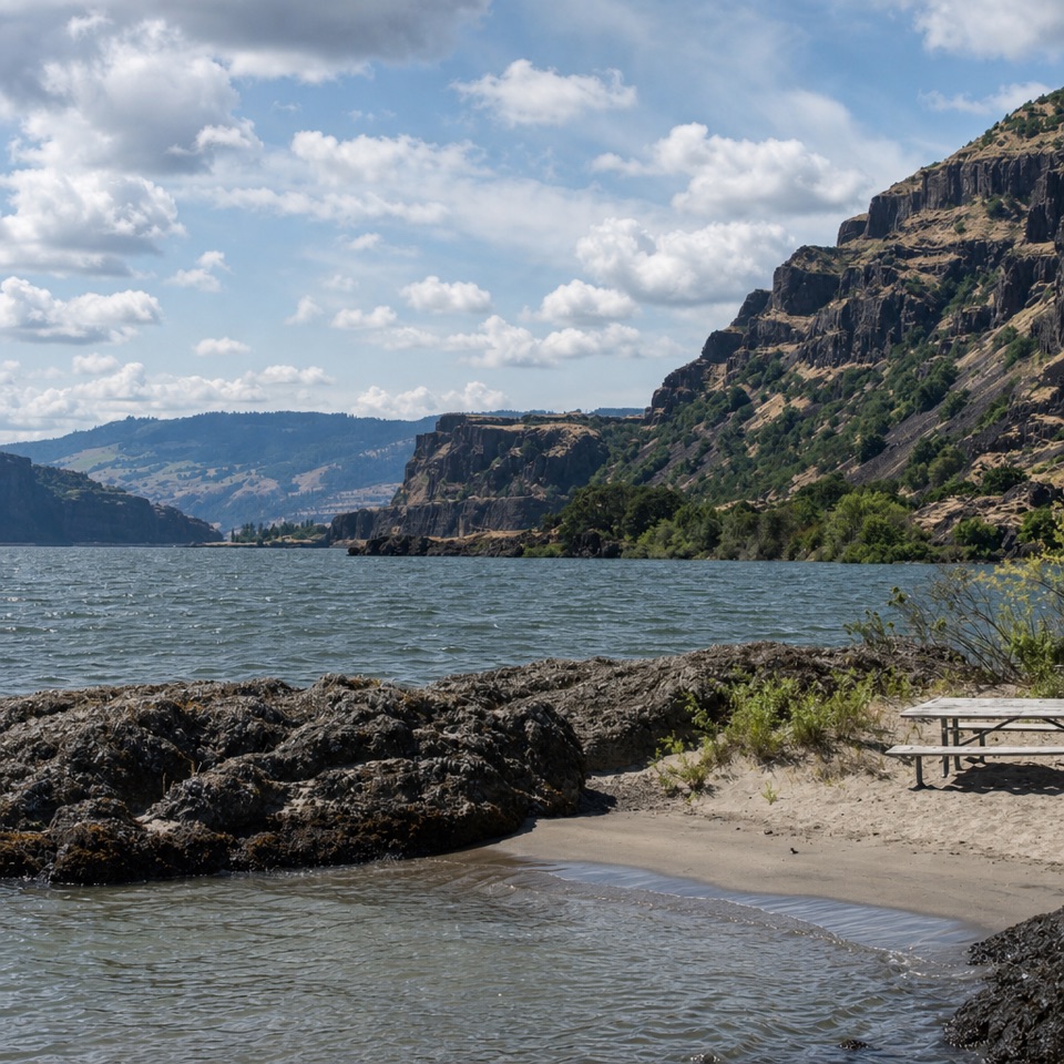 Beach · 6.6 mi awayDoug’s Beach State ParkWatch Gorge windsurfing from a sandy shore, with basalt cliffs behind.
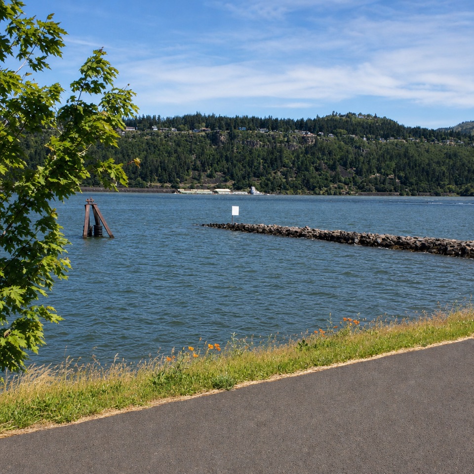 Sight · 7.3 mi awayHood River Event SiteWatch windsurfing and kiteboarding right on the river.
Parkwolf’s Columbia River Gorge ranking

The audio tour guide for the drive, plus offline maps, trails, and wildlife heatmaps for when the signal drops.





