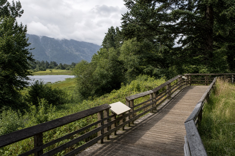
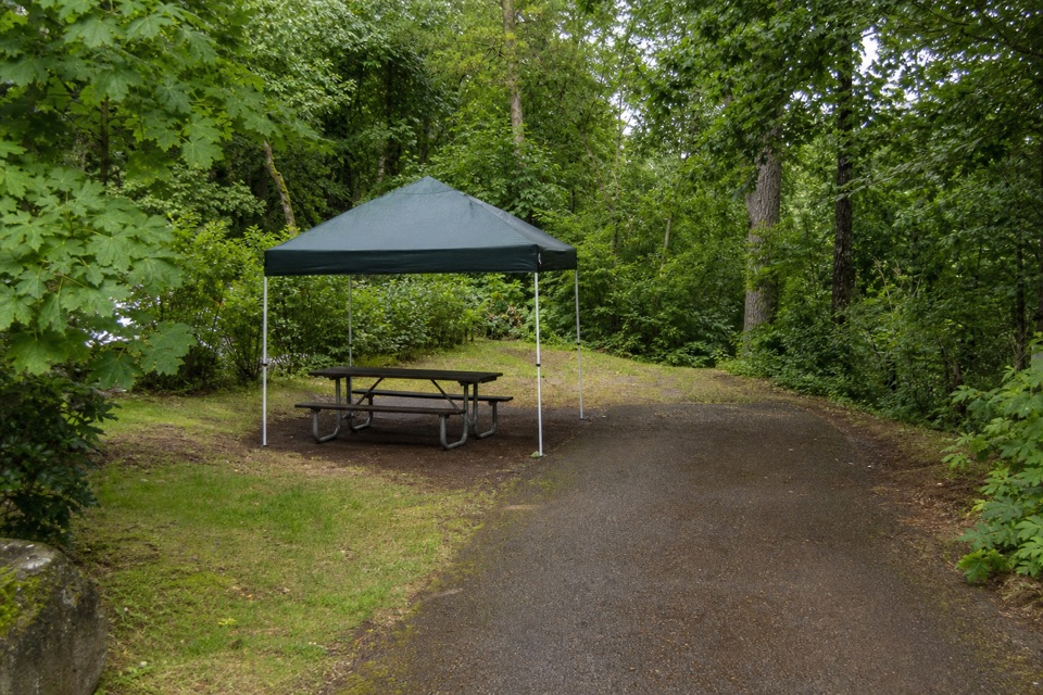
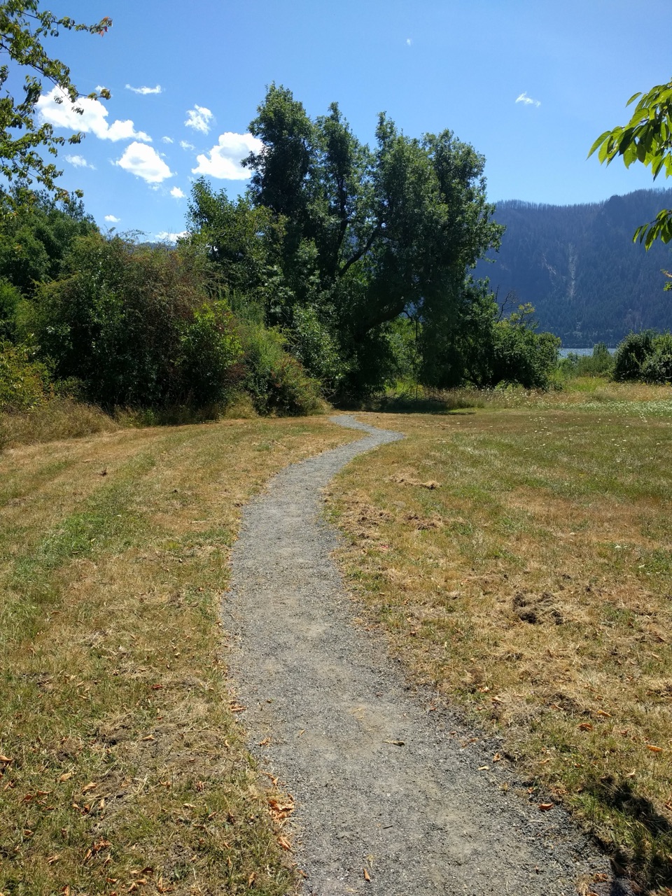
Oneonta Trail #424 in Columbia River Gorge National Scenic Area

Columbia River Gorge National Scenic Area, OR · WA

Oneonta Trail #424

Waterfalls first, then a steep climb all the way to Larch Mountain.

Photo: Wikimedia Commons
Length
8.2mi
Time
7.5hr
Elev. change
3,773ft
Difficulty
Challenging
  • Dogs allowed
  • High point 3,799 ft
  • #55 of 111 in Columbia River Gorge

Hear the audio tour

Oneonta Trailhead and Triple Falls

Overview

About Oneonta Trail #424

Why go

  • Triple Falls arrives early, with more creek and waterfall scenery beyond.
  • The full route climbs into Larch Mountain's high country.

Heads up

  • Steep, rocky climbing and exposed drop-offs make this a hard hike.
  • Point-to-point logistics need a pickup or a 16.4-mile return.

Map & elevation

The route

Loading the Columbia River Gorge map
Full map
Elevation26–3,799 ft
TrailheadOneonta Trailhead45.58847, -122.07855
Keep this map with you offline in the Parkwolf app

Plan your hike

Before you go

Parking

Oneonta Trailhead is a small pullout on the south side of Historic Columbia River Highway; there are no restrooms. The trail ends on Larch Mountain Road about 0.3 mile south of the picnic area, so arrange a pickup there or walk roughly 16.4 miles round trip.

Safety

Rocky footing and steep exposed drop-offs above the creek make the lower trail demanding. Expect a sustained mountain climb and creek crossings. Avoid the informal descent toward Upper Oneonta Falls, which leaves the marked route for unstable slopes; upper sections can hold snow into spring.

8 active Columbia River Gorge alerts

  • ClosureEagle Creek Fire area closureDo not enter Oneonta Gorge or the specified trail sections because hazards remain following the Eagle Creek Fire.Official details
  • CautionAircraft and drone restrictions at developed recreation sitesAircraft and drone landings, drop-offs, and pickups are prohibited at six high-use developed recreation sites to protect visitor safety.Official details
See all 8 alerts
A park ranger sits on a dash-mounted phone, talking, as Parkwolf’s Tour Guide plays “Army Cutworm Moths: A Grizzly Bear Buffet” on Grand Loop Road below Dunraven Pass in Yellowstone
Parkwolf Tour GuideThe highest, rockiest slopes around here are a summer buffet for grizzly bears.

Columbia River Gorge Tour Guide

Your drive to Oneonta Trail #424, narrated.

Parkwolf is a GPS audio tour guide for Columbia River Gorge National Scenic Area. As you drive, it chimes in with what’s ahead: hidden gems, upcoming stops, history, geology, and wildlife, right through your car’s speakers.

Recorded for this trailhead

Oneonta Trailhead and Triple Falls
0:00 / 0:26
“You're nearing Oneonta Trailhead, the start of the hike to Triple Falls.”

Plays as you drive up to this trailhead in the Parkwolf Columbia River Gorge Tour Guide.

More stories near here in the app

  • Horsetail and Ponytail Falls
  • The Falls’ Hidden Supply
  • The Tunnel They Buried
  • Franz Lake Viewpoint
  • 217 audio storiesacross Columbia River Gorge’s roads, triggered by GPS as you drive
  • Wildlife heatmapsfor Bald Eagle, Black Bear, American Pika, and 13 more
  • Works offlinemaps, 111 trails, 78 places, and audio download before you lose signal
  • CarPlay readysimple controls built for the drive
★★★★★
“Fantastic app with many points of information… It’s great to just turn on while you’re driving and it gives you an audio tour of the national Park. We love it!!!!”
JMJamesApp Store review
Download Parkwolf on the App StoreGet Parkwolf on Google Play

4.7 from 8,600+ ratings

Trail guide

Hiking Oneonta Trail #424

A full-day route to Larch MountainOneonta Trail 424 is an 8.

Oneonta Trail #424 is an 8.2-mile point-to-point hike one way, from Oneonta Trailhead above the Columbia River Gorge to Larch Mountain Road. It climbs about 3,800 feet into mountain forest; Triple Falls, 1.7 miles in, is the early payoff, not the end of this route. Among the three direct routes toward Larch Mountain, this is the steepest and most demanding. Allow seven to eight hours one way at a steady hiking pace. Arrange a pickup at the road end or plan for about 16.4 miles if you walk back.

Waterfalls before the climbThe first stretch rises above the old highway through the Oneonta drainage.

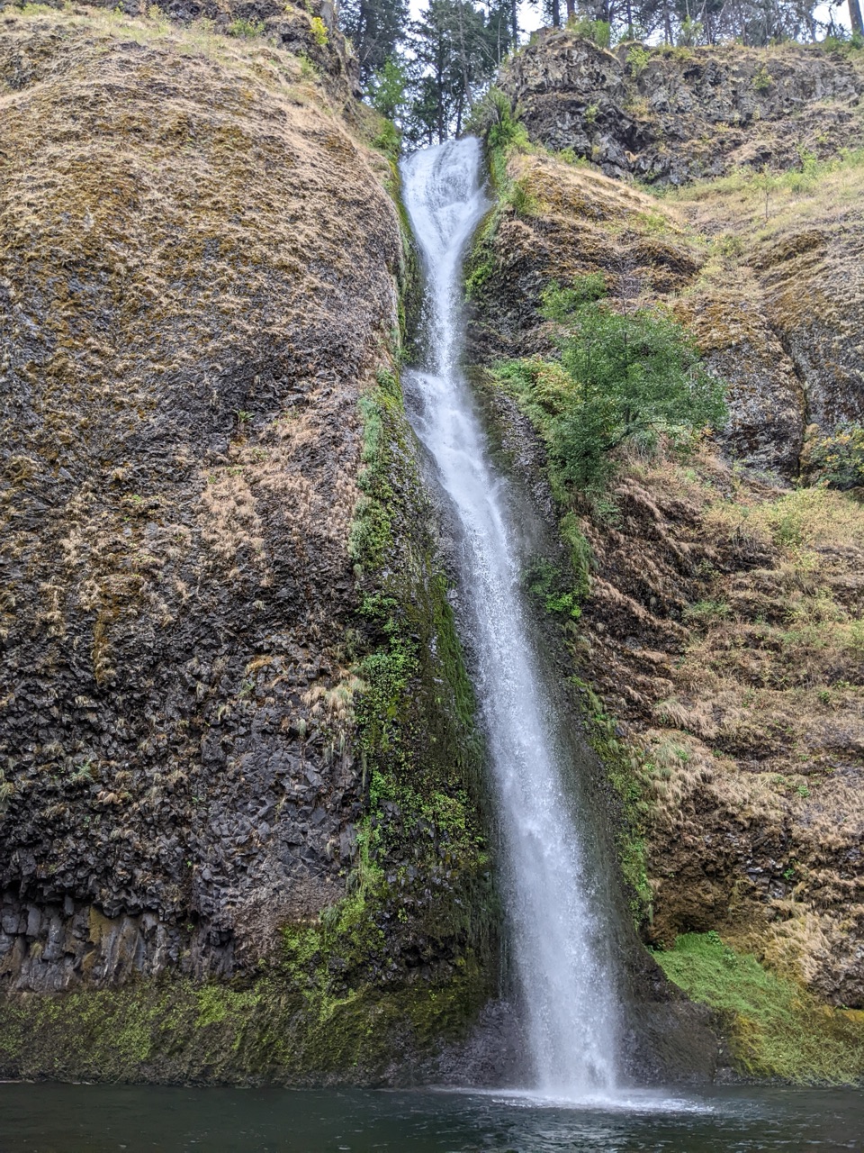
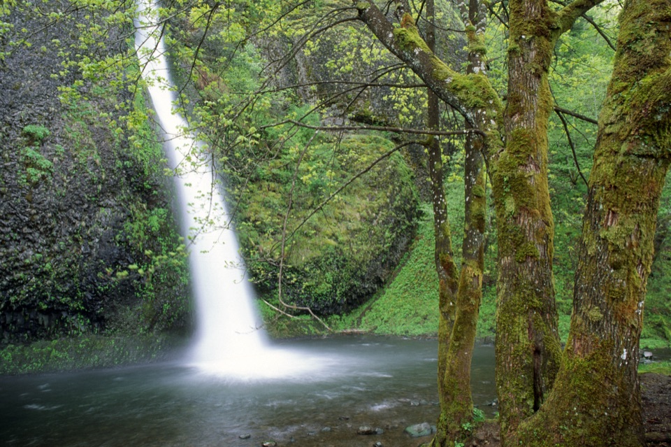
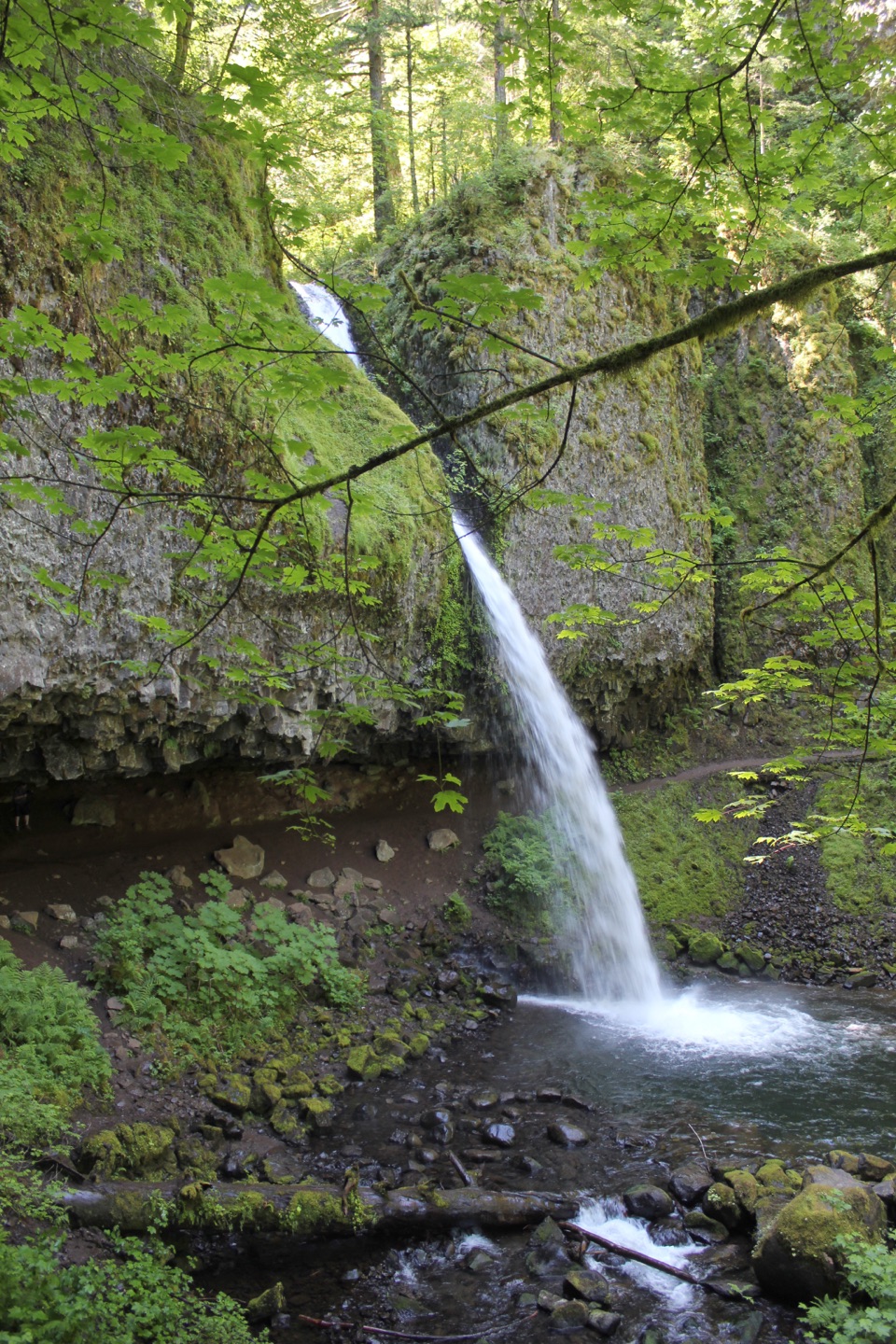
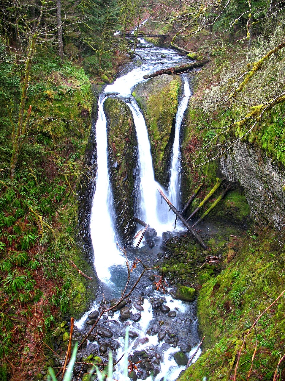
The first stretch rises above the old highway through the Oneonta drainage. A short half-circle side path near half a mile reaches viewpoints; around 0.8 mile in, a junction lets you detour to Middle and Lower Oneonta Falls, then return to Trail 424. The main trail climbs on rocky tread beside the creek, with open edges and steep drop-offs; keep children close and dogs leashed here. Triple Falls appears before its bridge, and the marked lookout is the best place to frame all three streams against the basalt gorge. Beyond the falls, the trail grows brushier, runs closer to Oneonta Creek, and reaches a shaded boulder field near a creek bridge, a good stop before the climb resumes.

The long way upPast the Horsetail Creek junction, Trail 424 climbs steeply toward Franklin Ridge, then…

Past the Horsetail Creek junction, Trail 424 climbs steeply toward Franklin Ridge, then continues to Larch Mountain Road. Waterfalls thin out; the long uphill and uneven footing take over. The upper section lies in Mark O. Hatfield Wilderness between the Horsetail Falls and Multnomah Creek Way junctions, where bicycles are prohibited. Snow can linger on the upper trail through winter and into spring. If you want the falls without this mountain climb, a separate roughly four-mile Horsetail Falls loop reaches Triple Falls and returns to its starting trailhead.

Access and effortStart at the small pullout on the south side of Historic Columbia River Highway; there are no…

Start at the small pullout on the south side of Historic Columbia River Highway; there are no restrooms. Trail 424 ends on Larch Mountain Road about 0.3 mile south of the picnic area, not at the picnic area's parking lot, so arrange a pickup. Dogs are allowed on leash. Avoid the informal path down toward Upper Oneonta Falls: it leaves the signed trail and crosses unstable slopes.

Wildlife

Wildlife in Columbia River Gorge

All Columbia River Gorge wildlife maps

Sighting maps show where each species has been reported across Columbia River Gorge. Wildlife moves, so no sighting is guaranteed.

Keep exploring

Near Oneonta Trail #424

See it all on the map

Trails that start nearby

Places near the trailhead

Parkwolf’s Columbia River Gorge ranking

Top-rated trails in Columbia River Gorge

All 111 trails
  1. 1Eagle Creek Trail #440 to Tunnel FallsChallenging · 11.7 mi
  2. 2Multnomah Falls Trail to the TopModerate · 2.4 mi
  3. 3Multnomah–Wahkeena Falls LoopChallenging · 4.8 mi
  4. 4Dog Mountain LoopChallenging · 6.9 mi
  5. 5Angel's Rest TrailModerate · 4.8 mi
  6. 6Cape Horn Loop TrailChallenging · 6.5 mi

Take Parkwolf to Columbia River Gorge.

The audio tour guide for the drive, plus offline maps, trails, and wildlife heatmaps for when the signal drops.

4.7 from 8,600+ ratings

Download Parkwolf on the App StoreGet Parkwolf on Google Play