Parking
Small pullout at Oneonta Trailhead on Historic Columbia River Highway; cross the road to the Trail 424 start. No restrooms.
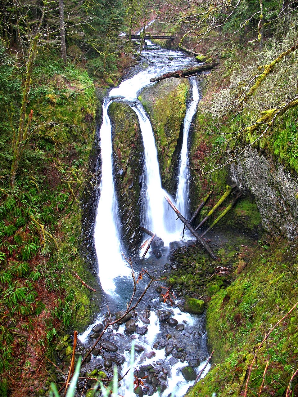
Columbia River Gorge National Scenic Area, OR · WA
Three falls reward a rocky, exposed climb above Oneonta Creek.
Overview
Map & elevation
Plan your hike

The highest, rockiest slopes around here are a summer buffet for grizzly bears.
Columbia River Gorge Tour Guide
Parkwolf is a GPS audio tour guide for Columbia River Gorge National Scenic Area. As you drive, it chimes in with what’s ahead: hidden gems, upcoming stops, history, geology, and wildlife, right through your car’s speakers.
Recorded for this trailhead
Oneonta Trailhead and Triple Falls“You're nearing Oneonta Trailhead, the start of the hike to Triple Falls.”
Plays as you drive up to this trailhead in the Parkwolf Columbia River Gorge Tour Guide.
More stories near here in the app
“Fantastic app with many points of information… It’s great to just turn on while you’re driving and it gives you an audio tour of the national Park. We love it!!!!”


Trail guide
Oneonta Trail to Triple Falls is a 3.5-mile out-and-back from Oneonta Trailhead to a clifftop view of the falls’ three parallel drops. Allow about 2½–3 hours for the climb, rough tread, and stops. This is a moderate hike with a steady uphill approach; the payoff is a close view across the gorge, not a walk to the waterfall’s base. The mapped line follows Oneonta Trail #424 and stores the outward corridor once.
Trail #424 starts by Historic Columbia River Highway, follows it briefly, then turns at Gorge Trail #400 and climbs by switchbacks. A short half-loop spur near the first half-mile opens views across the Columbia toward Archer Mountain. The path then traverses above Oneonta Creek on rocky ground, crossing slide gullies and climbing into open slopes burned in 2017. At the Trail #438 junction, an optional 0.2-mile round-trip spur reaches Middle and Lower Oneonta Falls; it is not included in the mapped distance. Continue on #424 past hard-to-see Upper Oneonta Falls to the clifftop viewpoint. Three streams drop into a tight basalt ravine, with a footbridge just above them. Keep to the path and leave the old scramble toward Upper Falls alone. For a useful photo, frame the bridge with all three drops.
Retrace the same trail. The upper slope has little shade, and loose gravel and larger stones make it easy to lose footing; the Triple Falls viewpoint has steep drop-offs. Oneonta Trail enters the Mark O. Hatfield Wilderness, where a free, self-issued day-use permit is required from Memorial Day weekend through Oct. 31; use the permit station at the wilderness entry. Dogs are allowed on leash. Park in the small pullout at Oneonta Trailhead on Historic Columbia River Highway, then cross the road to the Trail 424 start. There are no restrooms at the trailhead.
Wildlife
 267 sightingsBald EagleMost seen around 7 AMSighting map
 51 sightingsBlack BearMost seen around 7 PMSighting map
 136 sightingsAmerican PikaMost seen around 8 AMSighting map
 16 sightingsWapitiMost seen around 7 AMSighting map
 195 sightingsMule DeerMost seen around 7 AMSighting map
 74 sightingsChinook SalmonMost seen around 6 PMSighting map
Sighting maps show where each species has been reported across Columbia River Gorge. Wildlife moves, so no sighting is guaranteed.
Keep exploring
ChallengingOneonta Trail #4248.2 mi · 7.5 hr · At the trailheadWaterfalls first, then a steep climb all the way to Larch Mountain.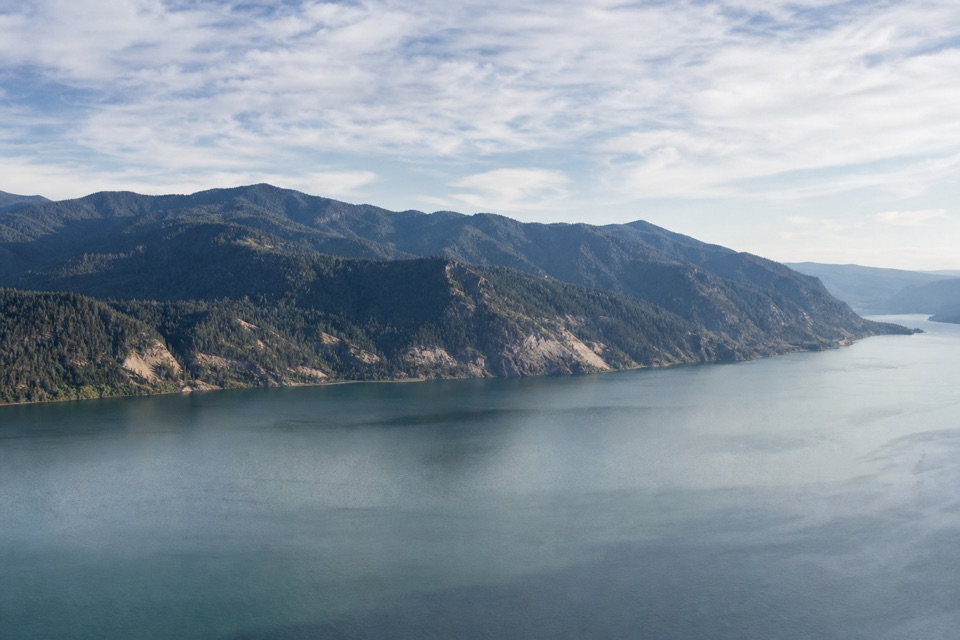 ChallengingHorsetail Creek Trail (#425)8.6 mi · 7.5 hr · At the trailheadAn 8.6-mile one-way climb from Oneonta to Nesmith Point Road.ModerateHorsetail, Ponytail, & Triple Falls4.1 mi · 3 hr · 0.5 mi awayWalk behind one waterfall on your way to two more.
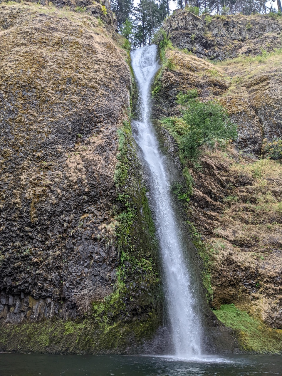 ModerateHorsetail Falls Loop2.5 mi · 1.8 hr · 0.5 mi awayWalk behind Ponytail Falls, then follow Oneonta Creek back.
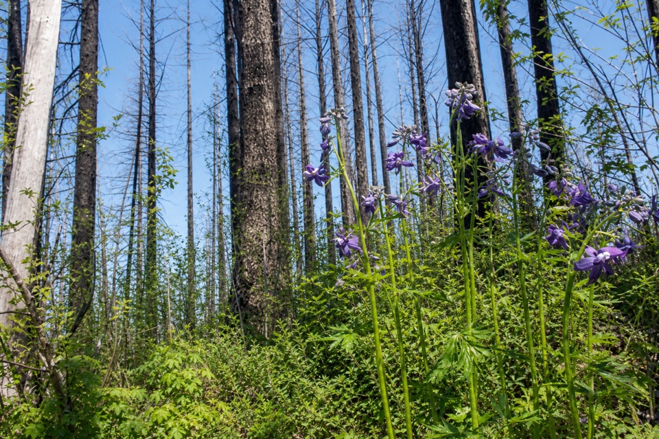 ModerateFranklin Ridge Trail #4272.3 mi · 2 hr · 1.4 mi awayA rough ridge connector with a rare view across Oneonta Valley.
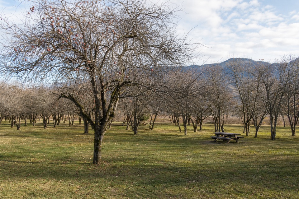 EasySt. Cloud Interpretive Trail #44100.5 mi · 24 min · 1.8 mi awayAn orchard loop with river views and a story rooted in 1909.
 ModerateMultnomah Falls Trail to the Top2.4 mi · 1.8 hr · 2 mi awayClimb eleven switchbacks to a wooden overlook over the upper falls
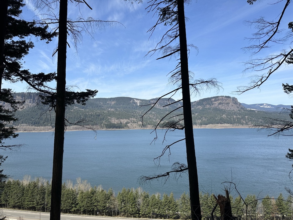 ChallengingLarch Mountain Trail #4416.8 mi · 7 hr · 2 mi awayFalls crowds fade into a quiet creek and ridge climb.
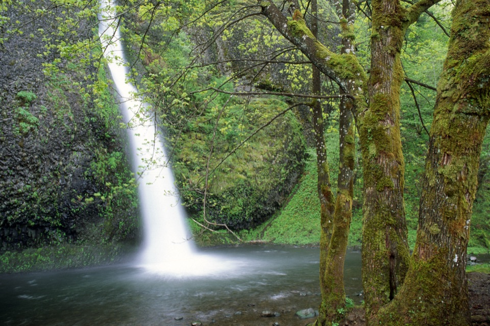 Sight · 0.5 mi awayHorsetail FallsA basalt cascade you can see without hiking uphill.
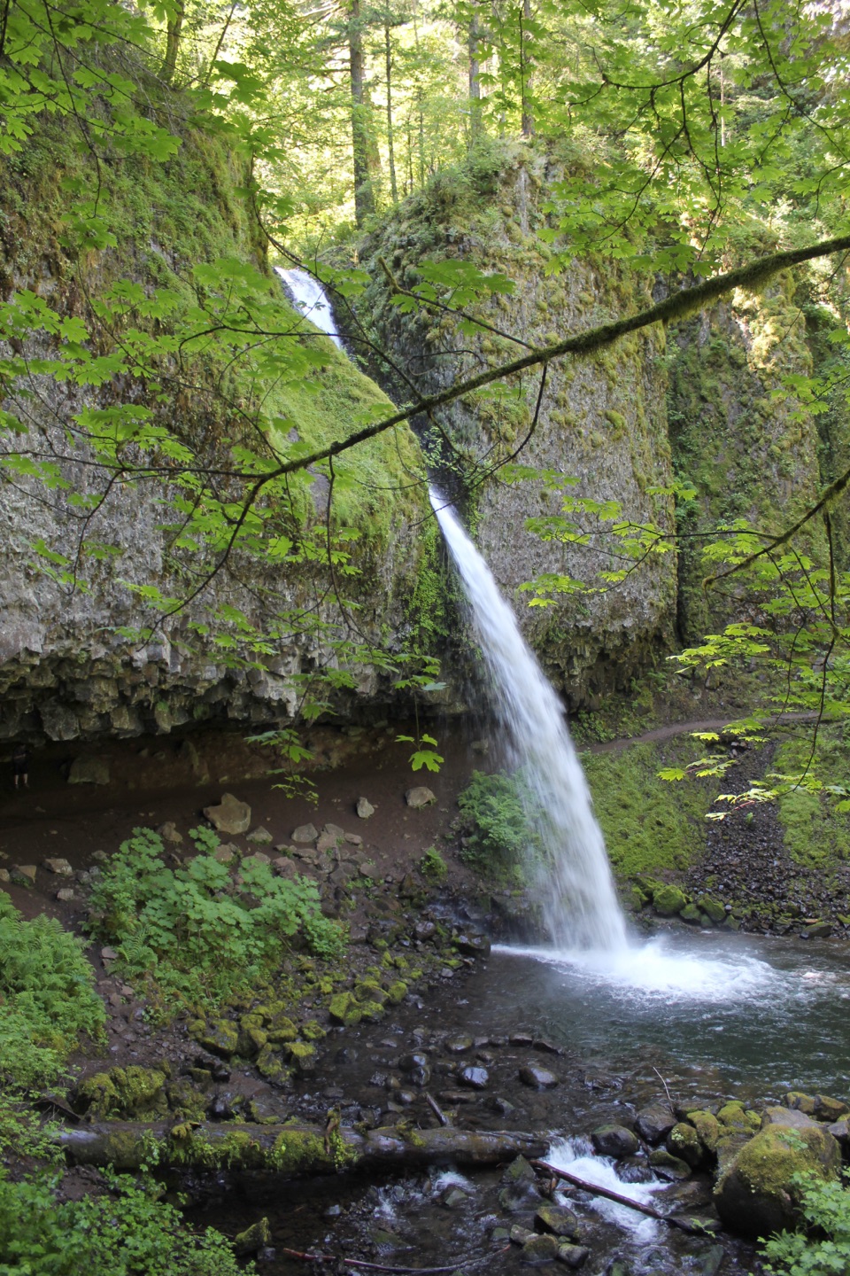 Sight · 0.5 mi awayPonytail FallsWalk behind an 88-foot waterfall through its basalt alcove.
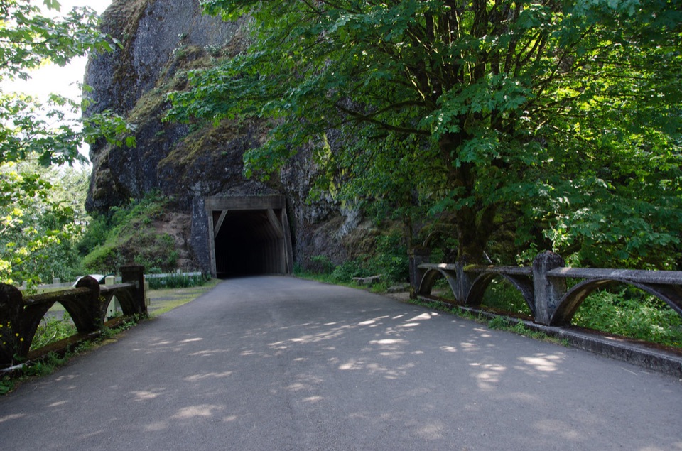 Sight · 0.7 mi awayOneonta GorgeA lichen-lined slot canyon, still closed after the 2017 fire.Sight · 0.7 mi awayTriple FallsThree creek-fed cascades reward a steep, rocky climb.
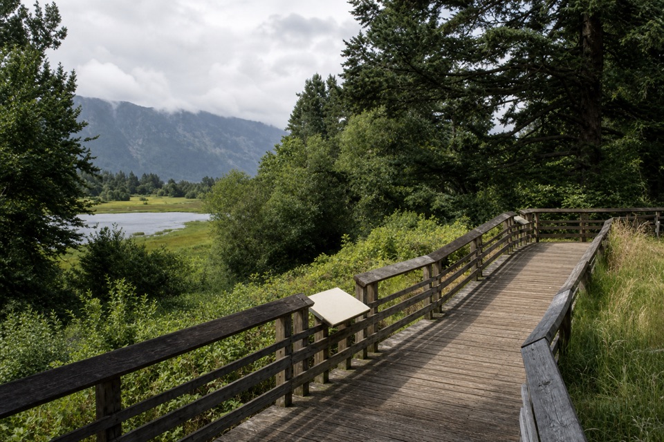 Sight · 1.3 mi awayFranz Lake ViewpointA roadside view into a rare lower Columbia marsh.
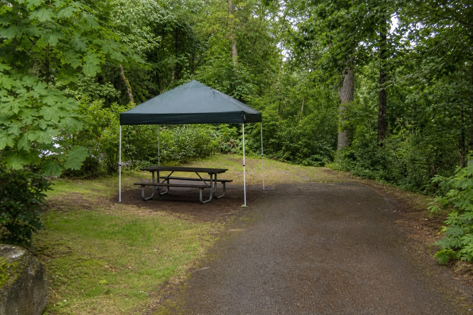 Campground · 1.3 mi awayAinsworth State Park CampgroundA wooded base close to Waterfall Corridor hikes.
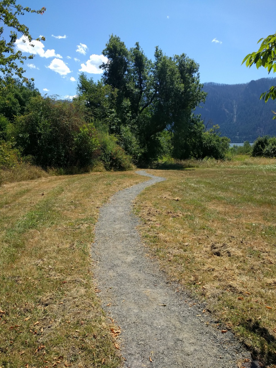 Picnic area · 1.8 mi awaySt. Cloud Day Use AreaA river picnic with views and an old apple orchard.
 Sight · 2 mi awayMultnomah FallsA two-tier waterfall with a 1914 footbridge between its drops.
Parkwolf’s Columbia River Gorge ranking

The audio tour guide for the drive, plus offline maps, trails, and wildlife heatmaps for when the signal drops.




