Parking
Start at Larch Mountain Picnic Area / Trailhead and use designated parking stalls. A valid Recreation Pass or day-use fee is required. Accessible vault toilets and picnic tables are on site; potable water is not available.
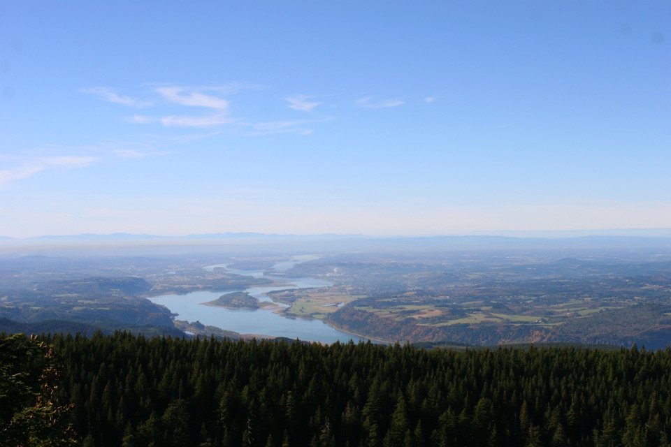
Columbia River Gorge National Scenic Area, OR · WA
A short paved climb ends at a fenced perch above the Cascades.
Overview
Map & elevation
Plan your hike

The highest, rockiest slopes around here are a summer buffet for grizzly bears.
Columbia River Gorge Tour Guide
Parkwolf is a GPS audio tour guide for Columbia River Gorge National Scenic Area. As you drive, it chimes in with what’s ahead: hidden gems, upcoming stops, history, geology, and wildlife, right through your car’s speakers.
Recorded for this trailhead
Sherrard Point on Larch Mountain“You're approaching Sherrard Point on Larch Mountain, where a short paved walk and several flights of stairs lead to a fenced summit platform.”
Plays as you drive up to this trailhead in the Parkwolf Columbia River Gorge Tour Guide.
More stories near here in the app
“Fantastic app with many points of information… It’s great to just turn on while you’re driving and it gives you an audio tour of the national Park. We love it!!!!”


Trail guide
Sherrard Point Trail is a paved out-and-back from Larch Mountain Picnic Area to a fenced summit viewpoint. Its 0.26-mile mapped corridor makes the round trip about 0.52 miles; allow 30 minutes with a look around. On clear days, views reach Rainier, St. Helens, Adams, Hood, and Jefferson, with a tarn and crater meadow below.
The paved path dips through montane forest to a saddle, then several flights of stairs climb to a flat, fenced concrete platform. The stairs are the hard part, and the viewpoint is not ADA accessible. Panels identify the peaks. For a Mount Hood photo, leave the forested ridges below it in frame. An optional return loop from the saddle passes an old stone-walled automobile turnaround and crosses the picnic area; that extra walk is not part of the mapped route.
Park in the designated spaces at Larch Mountain Picnic Area / Trailhead. A valid Recreation Pass or day-use fee is required. The picnic area has accessible vault toilets and about ten tables, but no potable water. Larch Mountain Road is narrow with limited visibility and popular with road cyclists. It closes each winter, usually from late November until late May or early June, depending on snowpack.
Wildlife
 267 sightingsBald EagleMost seen around 7 AMSighting map
 51 sightingsBlack BearMost seen around 7 PMSighting map
 136 sightingsAmerican PikaMost seen around 8 AMSighting map
 16 sightingsWapitiMost seen around 7 AMSighting map
 195 sightingsMule DeerMost seen around 7 AMSighting map
 74 sightingsChinook SalmonMost seen around 6 PMSighting map
Sighting maps show where each species has been reported across Columbia River Gorge. Wildlife moves, so no sighting is guaranteed.
Keep exploring
ModerateLarch Mountain Crater Loop6.5 mi · 4 hr · At the trailheadA crater loop through old forest to a volcanic summit view.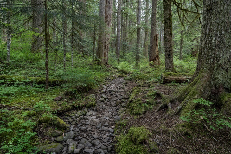 ModerateMultnomah Creek Way Trail (#444)2.7 mi · 1.8 hr · 1.3 mi awayA creekside link with a meadow view of Sherrard Point.
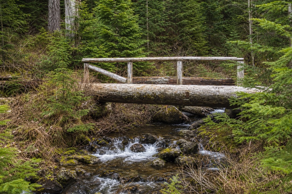 ModerateBell Creek Trail #4593 mi · 2 hr · 1.7 mi awayOld-growth forest and a timber bridge on a wilderness link.
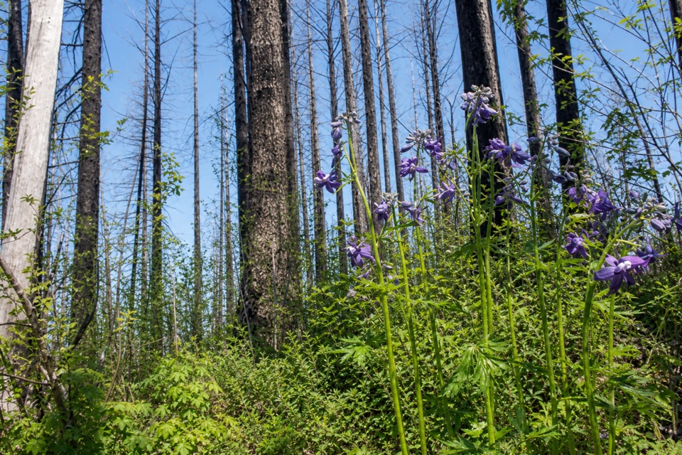 ModerateFranklin Ridge Trail #4272.3 mi · 2 hr · 2.7 mi awayA rough ridge connector with a rare view across Oneonta Valley.
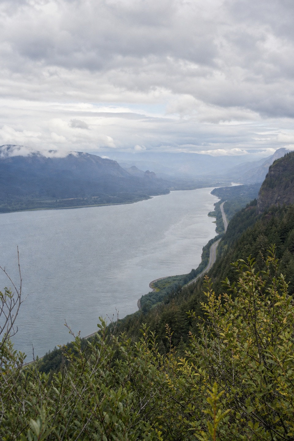 ModerateVista Point Trail #4190.8 mi · 30 min · 3.2 mi awayA short upper trail trades the spring stop for a river view.
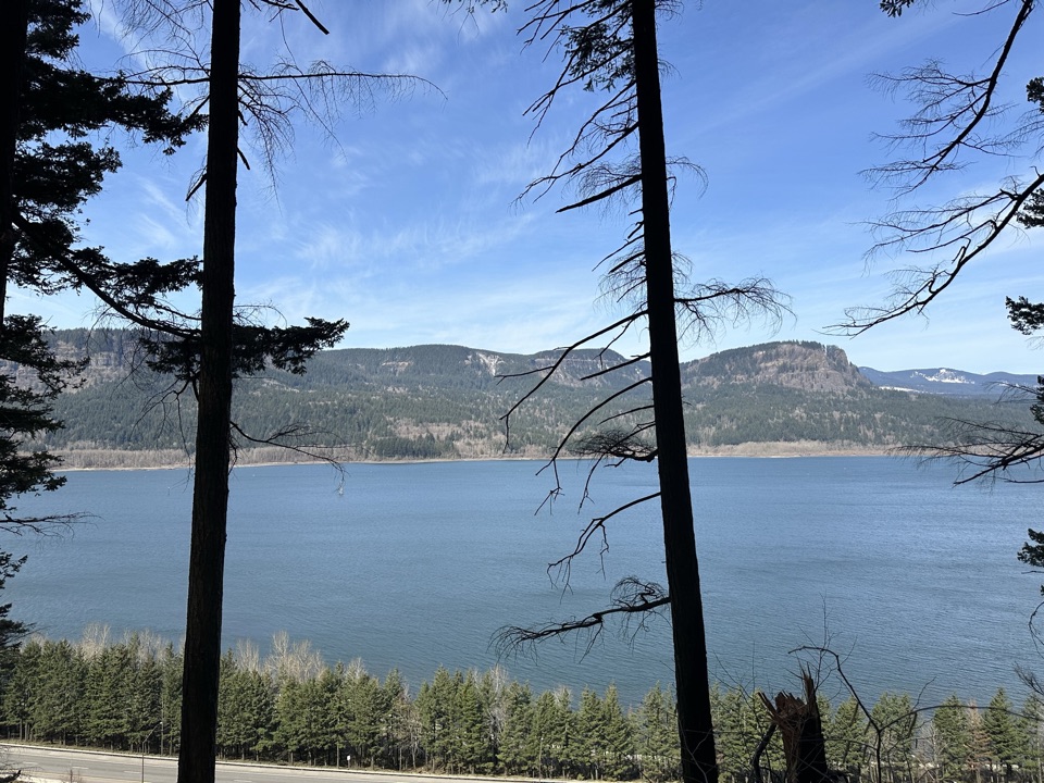 ChallengingLarch Mountain Trail #4416.8 mi · 7 hr · 3.6 mi awayFalls crowds fade into a quiet creek and ridge climb.
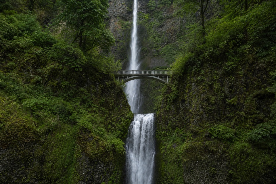 ChallengingMultnomah Falls to Sherrard Point via Larch Mountain Trail14.2 mi · 10 hr · 3.6 mi awayFour waterfalls, a creek gorge, and a hard summit climb.
 ModerateMultnomah Falls Trail to the Top2.4 mi · 1.8 hr · 3.6 mi awayClimb eleven switchbacks to a wooden overlook over the upper falls
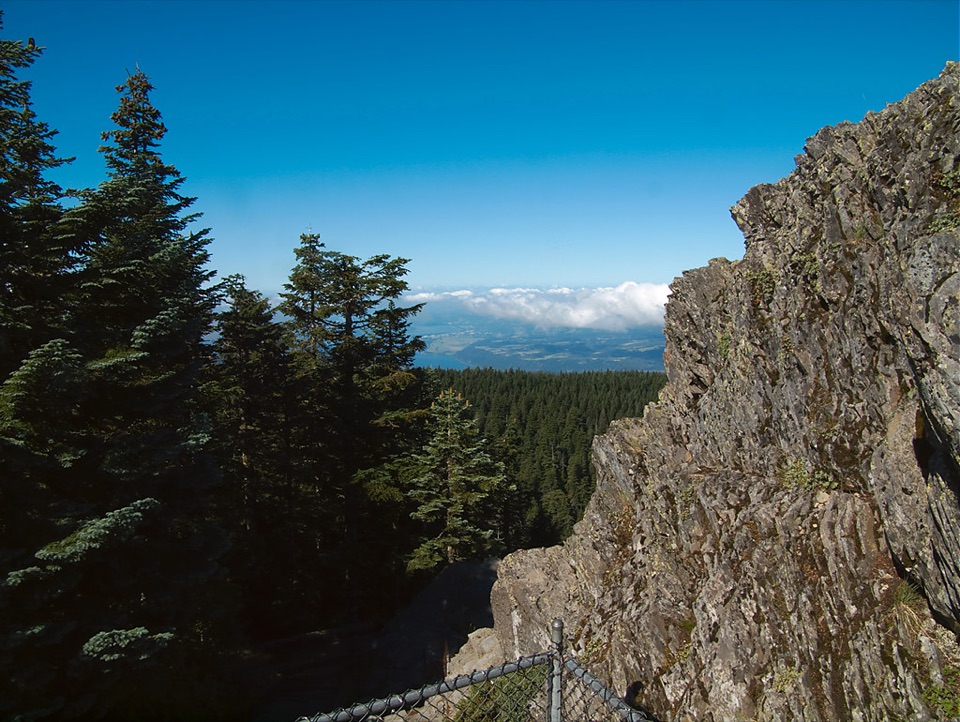 Sight · 0.3 mi awaySherrard PointFive Cascade peaks line up when the clouds lift.
 Sight · 3.4 mi awayFairy FallsA fan-shaped creek waterfall with a bench beside the trail.
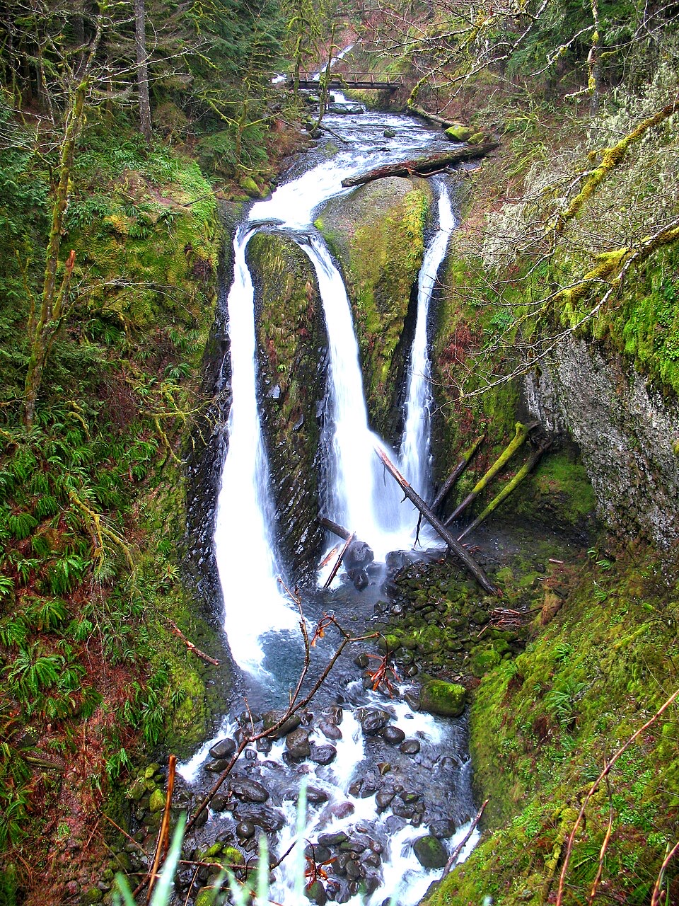 Sight · 3.5 mi awayTriple FallsThree creek-fed cascades reward a steep, rocky climb.
 Sight · 3.5 mi awayMultnomah FallsA two-tier waterfall with a 1914 footbridge between its drops.
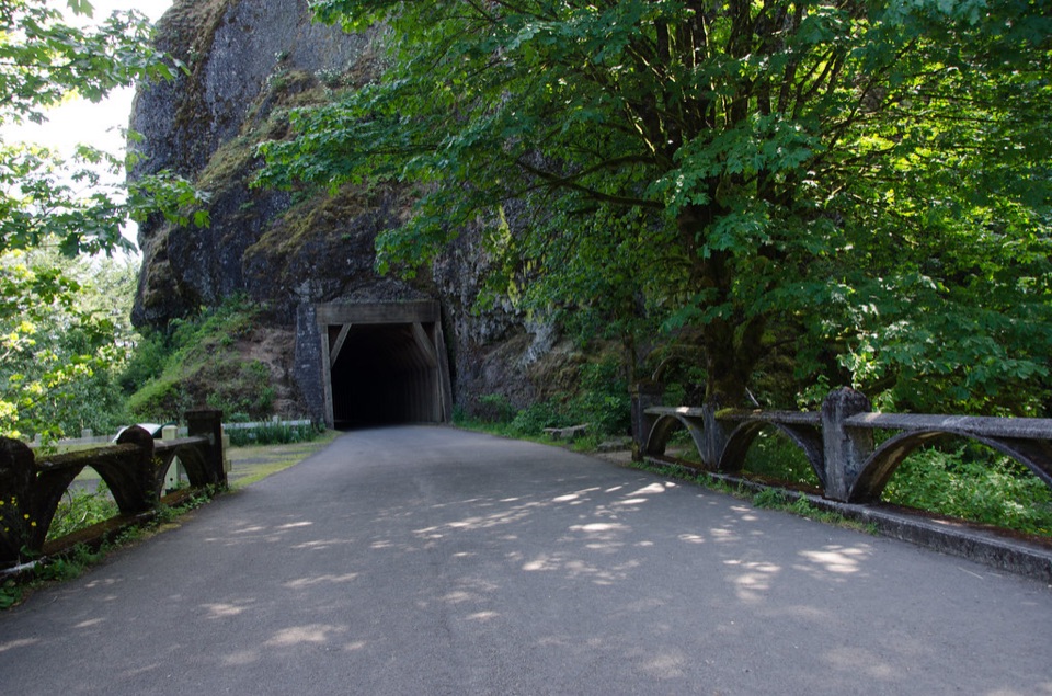 Sight · 3.6 mi awayOneonta GorgeA lichen-lined slot canyon, still closed after the 2017 fire.
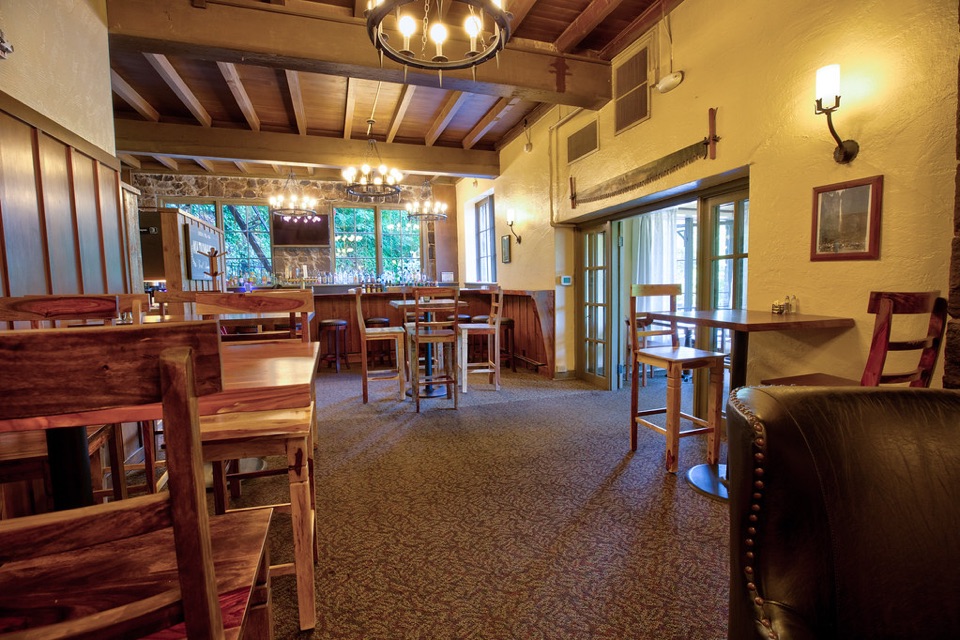 Sight · 3.6 mi awayMultnomah Falls LodgeA 1925 lodge for dining and visitor services beneath Multnomah Falls.
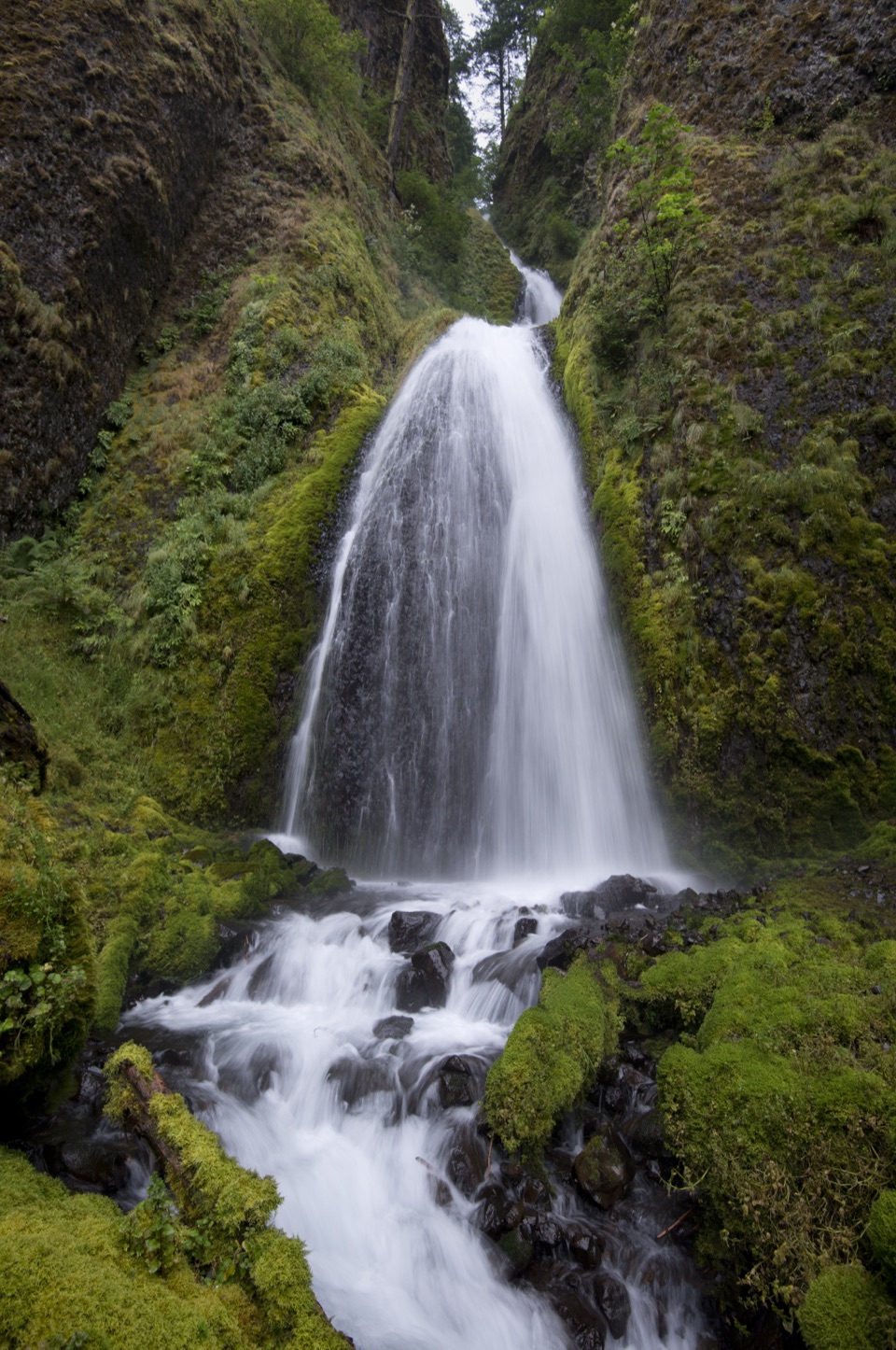 Sight · 3.7 mi awayWahkeena FallsA 242-foot cascade with a stone bridge at its foot.
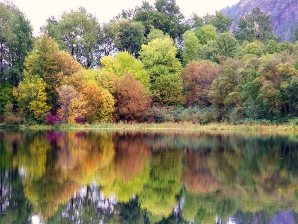 Sight · 3.8 mi awayBenson State Recreation AreaA lake swim and a round of disc golf in one stop.
Parkwolf’s Columbia River Gorge ranking

The audio tour guide for the drive, plus offline maps, trails, and wildlife heatmaps for when the signal drops.



