Bell Creek Trail #459 in Columbia River Gorge National Scenic Area

Columbia River Gorge National Scenic Area, OR · WA

Bell Creek Trail #459

Old-growth forest and a timber bridge on a wilderness link.

Length
3mi
Time
2hr
Elev. change
305ft
Difficulty
Moderate
  • High point 3,031 ft

Hear the audio tour

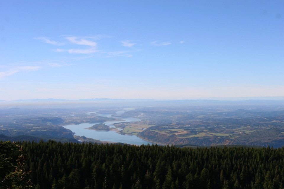
Sherrard Point on Larch Mountain

Overview

About Bell Creek Trail #459

Why go

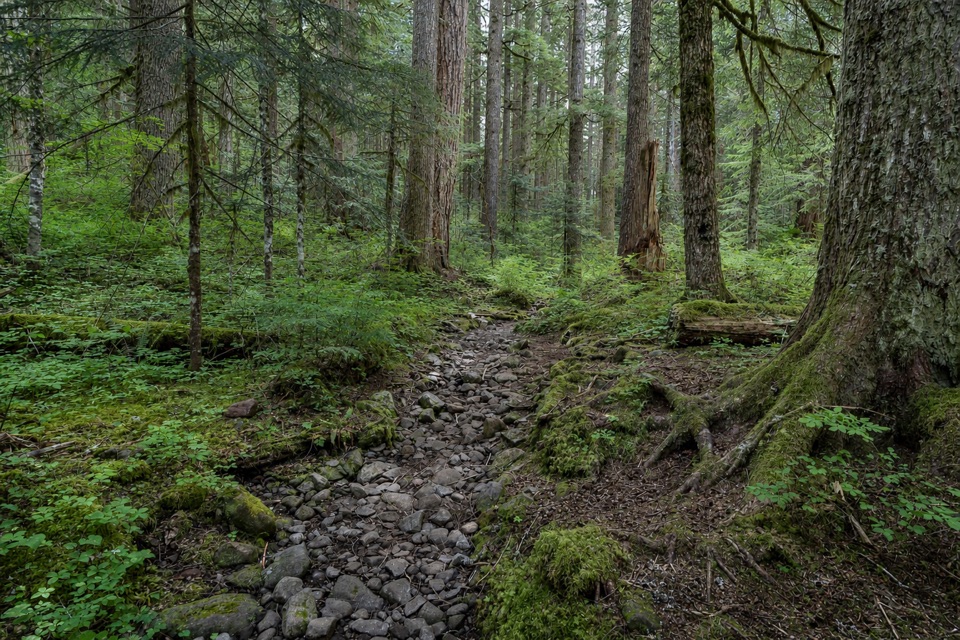
  • Old-growth fir, cedar and hemlock in a remote forest corridor
  • A timber bridge gives the route a memorable creek crossing

Heads up

  • The Oneonta approach adds about 3 miles before Bell Creek
  • A point-to-point wilderness link, not a simple roadside out-and-back

Map & elevation

The route

Loading the Columbia River Gorge map
Full map
Elevation2,726–3,031 ft
TrailheadOneonta Trail #424 / Bell Creek Trail #459 Junction45.54446, -122.05951
Keep this map with you offline in the Parkwolf app

Plan your hike

Before you go

Parking

There is no road at the Bell Creek junctions. Use the Oneonta Trail #424 access on Larch Mountain Road; the Forest Service places Bell Creek about 3 trail miles along #424. West Oneonta Trailhead is another #424 access with a small roadside pullout of about eight spaces. A recreation pass is required at nearby Larch Mountain Trailhead.


Safety

Remote wilderness route. Upper access on Larch Mountain Road is gated November through May. If approaching through Horsetail Creek Trail #425, its lower Oneonta Creek crossing is impassable in winter and spring.

8 active Columbia River Gorge alerts

  • ClosureEagle Creek Fire area closureDo not enter Oneonta Gorge or the specified trail sections because hazards remain following the Eagle Creek Fire.Official details
  • CautionAircraft and drone restrictions at developed recreation sitesAircraft and drone landings, drop-offs, and pickups are prohibited at six high-use developed recreation sites to protect visitor safety.Official details
See all 8 alerts
A park ranger sits on a dash-mounted phone, talking, as Parkwolf’s Tour Guide plays “Army Cutworm Moths: A Grizzly Bear Buffet” on Grand Loop Road below Dunraven Pass in Yellowstone
Parkwolf Tour GuideThe highest, rockiest slopes around here are a summer buffet for grizzly bears.

Columbia River Gorge Tour Guide

Your drive to Bell Creek Trail #459, narrated.

Parkwolf is a GPS audio tour guide for Columbia River Gorge National Scenic Area. As you drive, it chimes in with what’s ahead: hidden gems, upcoming stops, history, geology, and wildlife, right through your car’s speakers.

Recorded for this area

Sherrard Point on Larch Mountain
0:00 / 0:30
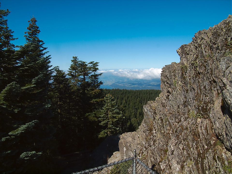
“You're approaching Sherrard Point on Larch Mountain, where a short paved walk and several flights of stairs lead to a fenced summit platform.”

Plays on the road 1.7 mi from the trailhead in the Parkwolf Columbia River Gorge Tour Guide.

More stories near here in the app

  • Horsetail and Ponytail Falls
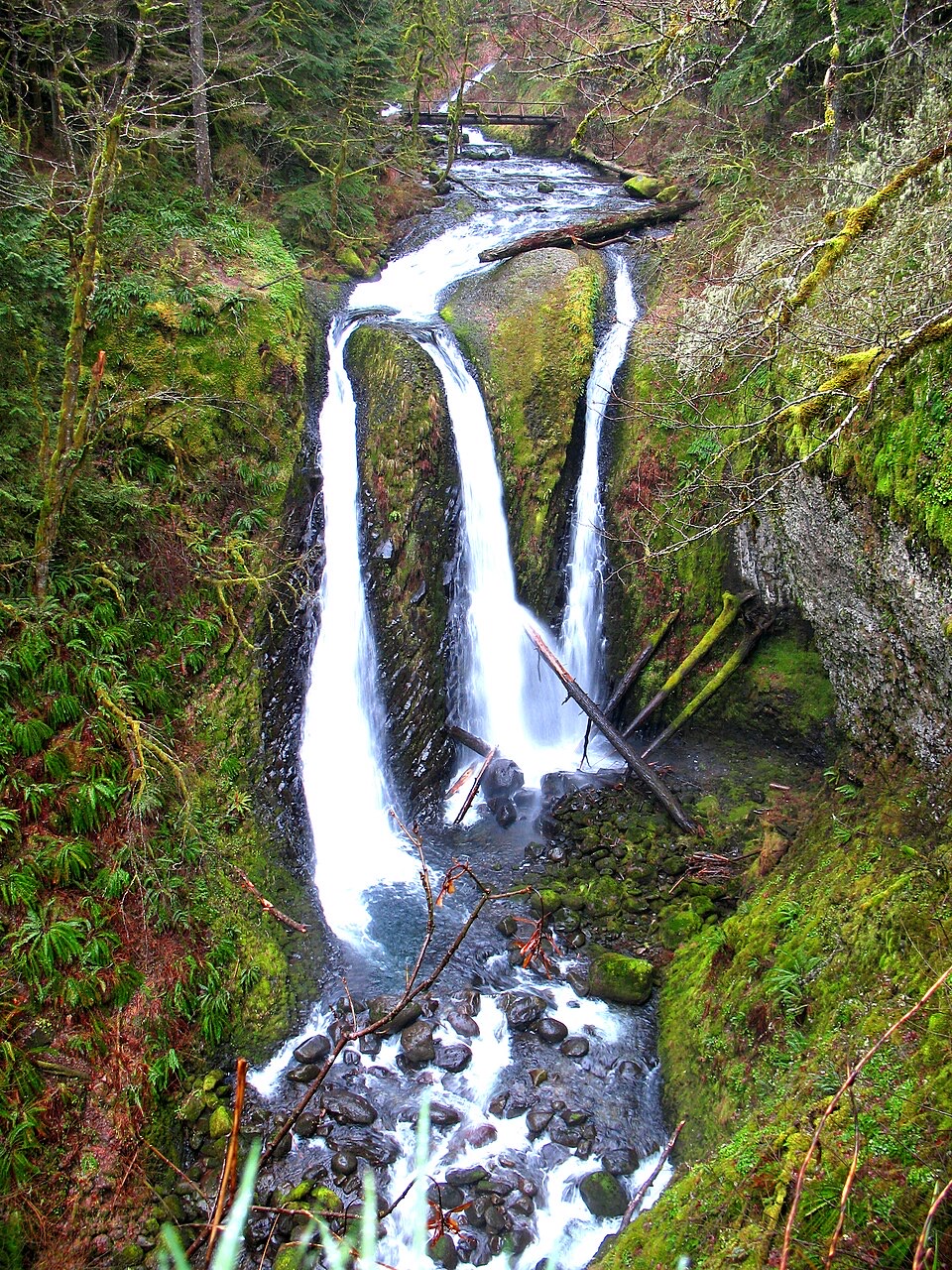
  • Oneonta Trailhead and Triple Falls
  • The Falls’ Hidden Supply
  • Multnomah Falls and Lodge
  • 217 audio storiesacross Columbia River Gorge’s roads, triggered by GPS as you drive
  • Wildlife heatmapsfor Bald Eagle, Black Bear, American Pika, and 13 more
  • Works offlinemaps, 111 trails, 78 places, and audio download before you lose signal
  • CarPlay readysimple controls built for the drive
★★★★★
“Fantastic app with many points of information… It’s great to just turn on while you’re driving and it gives you an audio tour of the national Park. We love it!!!!”
JMJamesApp Store review
Download Parkwolf on the App StoreGet Parkwolf on Google Play

4.7 from 8,600+ ratings

Trail guide

Hiking Bell Creek Trail #459

A backcountry connector, not a short walkBell Creek Trail 459 is a 3-mile, one-way connector between Oneonta Trail 424 and Horsetail…

Bell Creek Trail #459 is a 3-mile, one-way connector between Oneonta Trail #424 and Horsetail Creek Trail #425 in the Mark O. Hatfield Wilderness. The mapped line is Bell Creek itself, not one of the longer loops that combines nearby trails. Treat it as a remote link in a bigger itinerary: the Forest Service’s Larch Mountain Road directions add about 3 miles on Oneonta #424 before you reach Bell Creek. Allow around two hours for #459, then add the approach and whatever you choose beyond it.

Forest and creekThe draw is the forest more than a summit view.

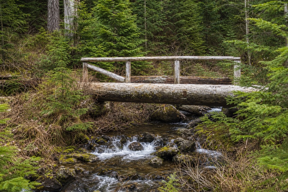
The draw is the forest more than a summit view. The Forest Service describes little-used stands of old-growth Douglas-fir, western redcedar and hemlock. The route crosses Bell Creek at a weathered timber footbridge, then climbs and rolls through forest before joining Horsetail Creek Trail. Its sampled elevations range by about 300 feet from low point to high, with the trail mostly under tree cover. At the bridge, keep the water beneath the timbers in your photo so the frame shows both the crossing and the creek.

Plan the accessThere’s no road at either Bell Creek junction.

There’s no road at either Bell Creek junction. The Forest Service directs hikers from an access on Larch Mountain Road along Oneonta #424 for about 3 trail miles to Bell Creek; West Oneonta Trailhead is another access to #424, with a small roadside pullout of about eight spaces. A valid recreation pass is required at the nearby Larch Mountain Trailhead. Upper access on Larch Mountain Road is gated from November through May. The other end joins Horsetail Creek Trail #425, but its lower Oneonta Creek crossing is impassable in winter and spring. Plan your return or onward route first; neither junction is a quick roadside turnaround.

Wildlife

Wildlife in Columbia River Gorge

All Columbia River Gorge wildlife maps

Sighting maps show where each species has been reported across Columbia River Gorge. Wildlife moves, so no sighting is guaranteed.

Keep exploring

Near Bell Creek Trail #459

See it all on the map

Trails that start nearby

Places near the trailhead

Parkwolf’s Columbia River Gorge ranking

Top-rated trails in Columbia River Gorge

All 111 trails
  1. 1Eagle Creek Trail #440 to Tunnel FallsChallenging · 11.7 mi
  2. 2Multnomah Falls Trail to the TopModerate · 2.4 mi
  3. 3Multnomah–Wahkeena Falls LoopChallenging · 4.8 mi
  4. 4Dog Mountain LoopChallenging · 6.9 mi
  5. 5Angel's Rest TrailModerate · 4.8 mi
  6. 6Cape Horn Loop TrailChallenging · 6.5 mi

Take Parkwolf to Columbia River Gorge.

The audio tour guide for the drive, plus offline maps, trails, and wildlife heatmaps for when the signal drops.

4.7 from 8,600+ ratings

Download Parkwolf on the App StoreGet Parkwolf on Google Play