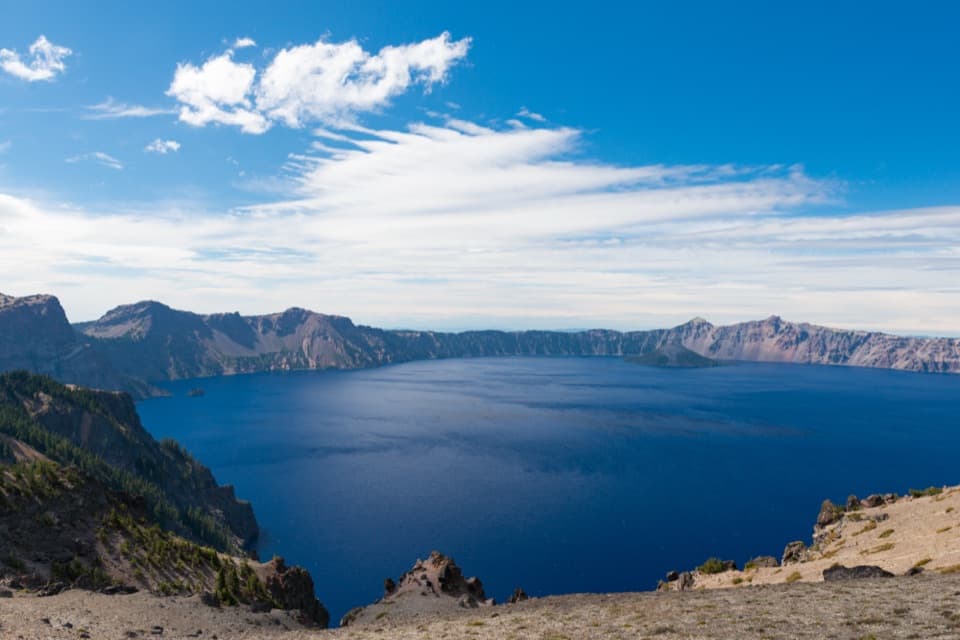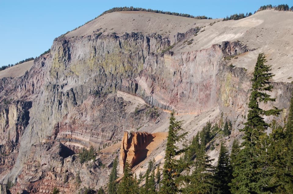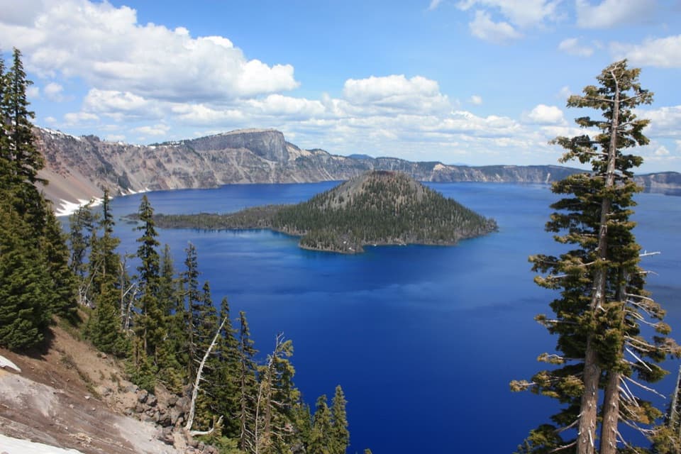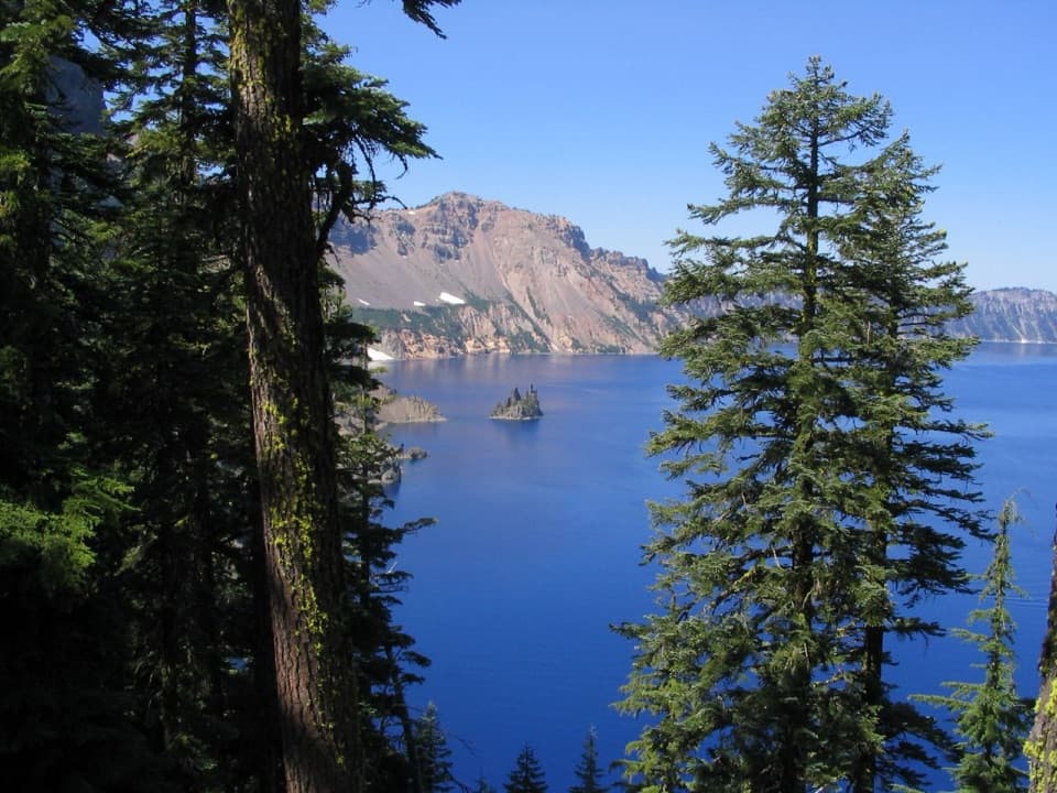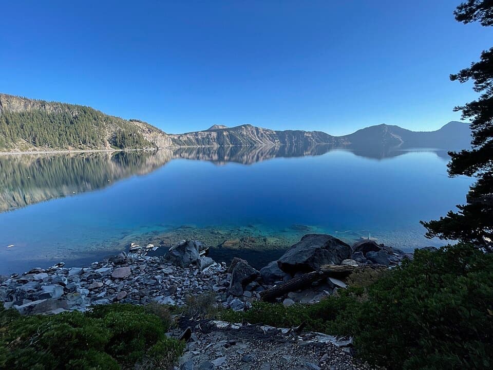
Cleetwood Cove in Crater Lake National Park

Sight · Crater Lake National Park

Cleetwood Cove

Only legal shore access, with a strenuous climb back out.

Photo: Wikimedia Commons
Type
Sight
Nearest trail
0.4 mi
Audio stories
3 nearby
  • Restrooms

Hear the audio tour

Cleetwood Cove Trailhead

Overview

About Cleetwood Cove

Why stop

  • A rare, close-up view of the clear lake and caldera from the shore.

Heads up

  • The boulder-strewn landing has no beach or shade.

Map

Where it is

Loading the Crater Lake map
Full map
SightCleetwood Cove42.97626, -122.07806
Keep this map with you offline in the Parkwolf app

Plan your stop

Before you go

Best time to go

The trailhead is on East Rim Drive, about 4.6 miles from North Junction. In a typical year the trail opens around mid-June and closes by late October, with snow removal and safety checks setting the exact dates. Treat those as a pattern, not a promise, and check conditions before making the hike the centerpiece of your day.

2 active Crater Lake alerts

  • ClosureCleetwood Cove Trail closed for rehabilitationMentions this placeCleetwood Cove Trail is closed to the public during construction to rehabilitate the trail and marina.Official details
  • CautionPinnacles Road restricted to hikers and bicyclistsPinnacles Road is open only to hikers and bicyclists because of a road construction project; motor vehicles cannot use it.Official details
Crater Lake alerts
A park ranger sits on a dash-mounted phone, talking, as Parkwolf’s Tour Guide plays “Army Cutworm Moths: A Grizzly Bear Buffet” on Grand Loop Road below Dunraven Pass in Yellowstone
Parkwolf Tour GuideThe highest, rockiest slopes around here are a summer buffet for grizzly bears.

Crater Lake Tour Guide

Your drive to Cleetwood Cove, narrated.

Parkwolf is a GPS audio tour guide for Crater Lake National Park. As you drive, it chimes in with what’s ahead: hidden gems, upcoming stops, history, geology, and wildlife, right through your car’s speakers.

See the Crater Lake audio tour

Recorded for this place

Cleetwood Cove Trailhead
0:00 / 0:23
“You're coming up on Cleetwood Cove Trailhead, the start of the only legal walking route down to the lake when the trail is open.”

Plays as you drive up to Cleetwood Cove in the Parkwolf Crater Lake Tour Guide.

More stories near here in the app

  • Palisades Overlook
  • Pumice Point Overlook and Picnic Area
  • Grotto Cove Overlooks
  • Skell Head Overlook
  • 58 audio storiesacross Crater Lake’s roads, triggered by GPS as you drive
  • Wildlife heatmapsfor Black Bear, Mule Deer, Common Raven, and 13 more
  • Works offlinemaps, 34 trails, 49 places, and audio download before you lose signal
  • CarPlay readysimple controls built for the drive
★★★★★
“Fantastic app with many points of information… It’s great to just turn on while you’re driving and it gives you an audio tour of the national Park. We love it!!!!”
JMJamesApp Store review
Download Parkwolf on the App StoreGet Parkwolf on Google Play

4.7 from 8,600+ ratings

Guide

More about Cleetwood Cove

The only route to the waterCleetwood Cove is a rocky bay on Crater Lake’s north shore and the only legal way for the…

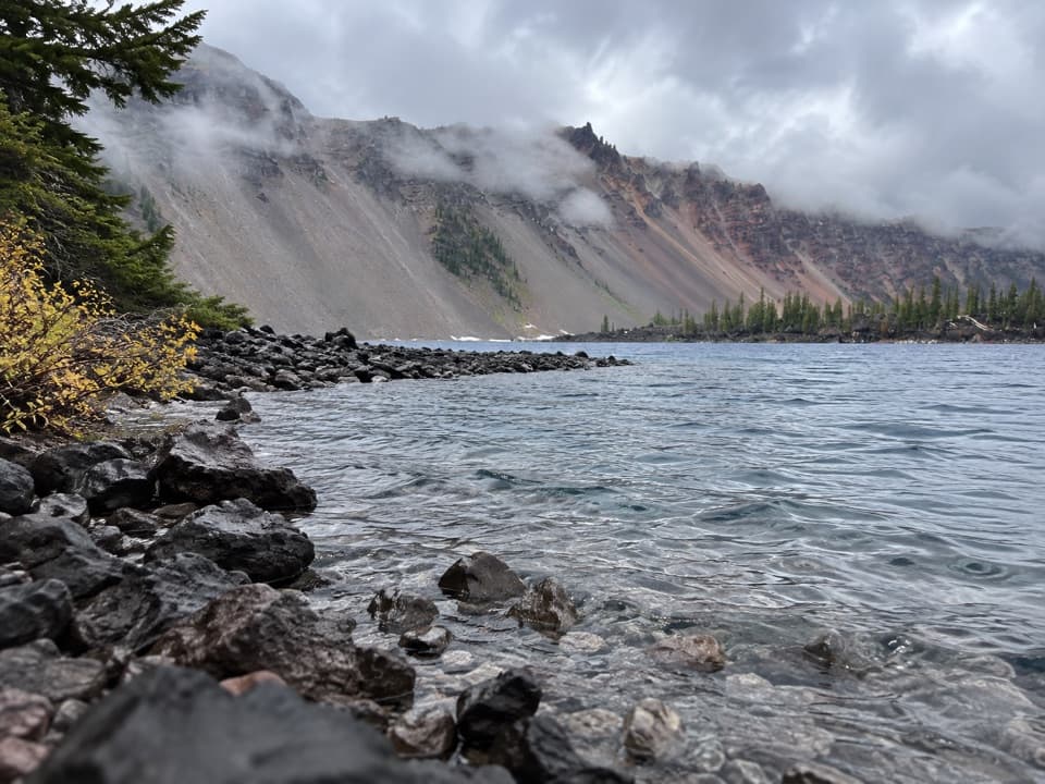
Cleetwood Cove is a rocky bay on Crater Lake’s north shore and the only legal way for the public to reach the lake’s edge. It’s the destination at the bottom of Cleetwood Cove Trail, separate from the trailhead above. The reward is a close view of the clear water and caldera walls; this is a boulder-strewn landing, not a sandy beach or a roadside overlook.

Take the return climb seriouslyThe trail drops 700 feet over 1.1 miles, making the visit a 2.2-mile round trip.

The trail drops 700 feet over 1.1 miles, making the visit a 2.2-mile round trip. Long switchbacks and fine pumice can feel loose underfoot, and the climb back is strenuous—about the effort of 65 flights of stairs. Wear sturdy, grippy shoes, and bring drinking water, food, and sun protection. Only parts of the trail are shaded, and the shore is exposed.

At the waterlinePeople come here to swim, wade, fish, and take concessioner-operated boat tours when they’re…

People come here to swim, wade, fish, and take concessioner-operated boat tours when they’re running. There’s no beach or shade at the boulder-covered shore, and summer surface water averages about 57°F (14°C). Swimmers must stay within 100 yards of Cleetwood Cove or Wizard Island and at least 50 feet from boats, docks, and buoys; private boats and flotation gear aren’t allowed. For a photo, keep the shoreline rocks in the foreground so the caldera’s reflection still reads as a water-level view.

Why the trail comes down hereThe present trail alignment was built from 1958 to 1962 to serve growing interest in the…

The present trail alignment was built from 1958 to 1962 to serve growing interest in the lakeshore and boat tours. Earlier shore access began near Rim Village, where postwar visitors crowded the parking area. Cleetwood’s long north-facing descent made a dedicated landing possible, though it also means snow can linger here after other parts of the rim open.

Wildlife

Wildlife in Crater Lake

All Crater Lake wildlife maps

Sighting maps show where each species has been reported across Crater Lake. Wildlife moves, so no sighting is guaranteed.

Keep exploring

Near Cleetwood Cove

See it all on the map

Trails nearby

More stops nearby

Parkwolf’s Crater Lake ranking

Top sights in Crater Lake

All 49 places
  1. 1Watchman OverlookSight
  2. 2Sinnott Memorial OverlookSight
  3. 3Discovery PointSight
  4. 4Cloudcap OverlookSight
  5. 5Phantom Ship OverlookSight
  6. 6Pumice Castle OverlookSight

Take Parkwolf to Crater Lake.

The audio tour guide for the drive, plus offline maps, trails, and wildlife heatmaps for when the signal drops.

4.7 from 8,600+ ratings

Download Parkwolf on the App StoreGet Parkwolf on Google Play