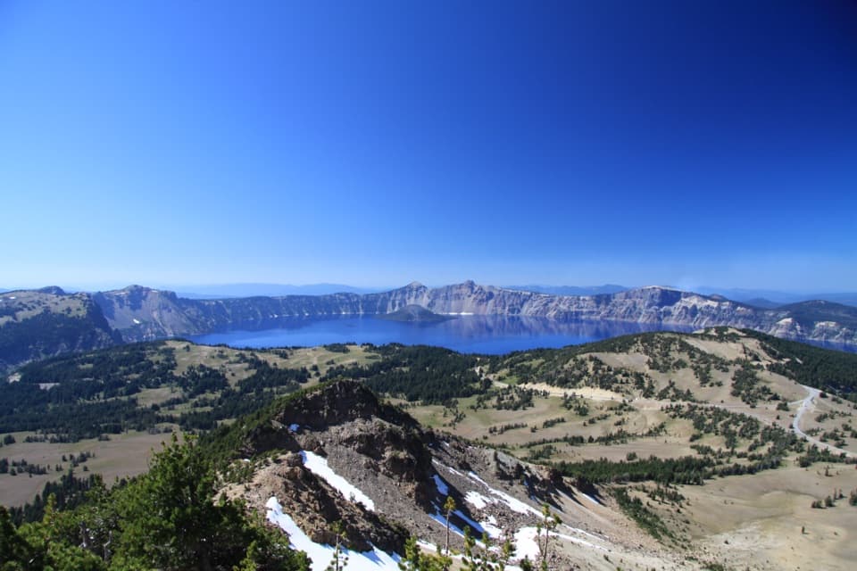
Parking
Start at the Pacific Crest Trail parking lot on North Entrance Road. Follow the PCT to the Bald Crater Loop junction; the approach and its return are included in the 20.3-mile round trip.
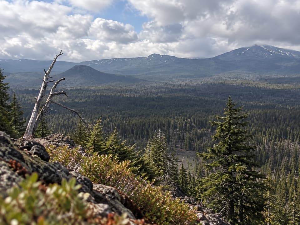
Crater Lake National Park, OR
A 20-mile PCT approach to a rolling loop and fragile wetland.
Overview
Map & elevation
Plan your hike

The highest, rockiest slopes around here are a summer buffet for grizzly bears.
Crater Lake Tour Guide
Parkwolf is a GPS audio tour guide for Crater Lake National Park. As you drive, it chimes in with what’s ahead: hidden gems, upcoming stops, history, geology, and wildlife, right through your car’s speakers.
See the Crater Lake audio tourRecorded for this trailhead
Red Cone and Bald Crater Trailhead“You're approaching the Red Cone and Bald Crater trailhead on North Entrance Road.”
Plays as you drive up to this trailhead in the Parkwolf Crater Lake Tour Guide.
More stories near here in the app
“Fantastic app with many points of information… It’s great to just turn on while you’re driving and it gives you an audio tour of the national Park. We love it!!!!”


Trail guide
Bald Crater Loop is a 20.3-mile round-trip backcountry hike from the Pacific Crest Trail parking lot on North Entrance Road. It follows the PCT about 3.2 miles to the loop, circles Bald Crater on a roughly 13.9-mile corridor, then retraces the same access. The loop rolls through lodgepole pine forest and an open burned stretch, and passes Sphagnum Bog; it circles the crater rather than climbing to a summit. Allow about 11 hours for the full outing with short breaks. The 20.3-mile total already counts the PCT access both ways.
Follow the PCT west from North Entrance Road to the Bald Crater Loop junction. North of Red Cone the tread crosses exposed, burned, relatively flat ground before the circuit returns to a more forested, gently rolling route. The junction is where the loop leaves the PCT; note it, because you use the same approach to return to the road.
The route passes Sphagnum Bog, which is technically a fen: water moves through it rather than sitting still. Peat averages about six feet deep over pumice, and the wetland is thought to have formed around 4,000 years ago. A 2007 BioBlitz recorded about 160 species here, including sundews and bladderworts that catch insects. Stay on the trail. The plant mat can hide deep pools, and the wet ground is fragile.
Wildlife
 16 sightingsBlack BearMost seen around 8 PMSighting map
 178 sightingsMule DeerMost seen around 7 PMSighting map
 26 sightingsCommon RavenMost seen around 9 AMSighting map
 33 sightingsTurkey VultureMost seen around 1 PMSighting map
 47 sightingsRed-tailed HawkMost seen around 11 AMSighting map
 71 sightingsCascades FrogMost seen around 5 PMSighting map
Sighting maps show where each species has been reported across Crater Lake. Wildlife moves, so no sighting is guaranteed.
Keep exploring
 ModerateRed Cone Trail7.2 mi · 3 hr · At the trailheadA long, exposed walk through burned ground north of Red Cone.
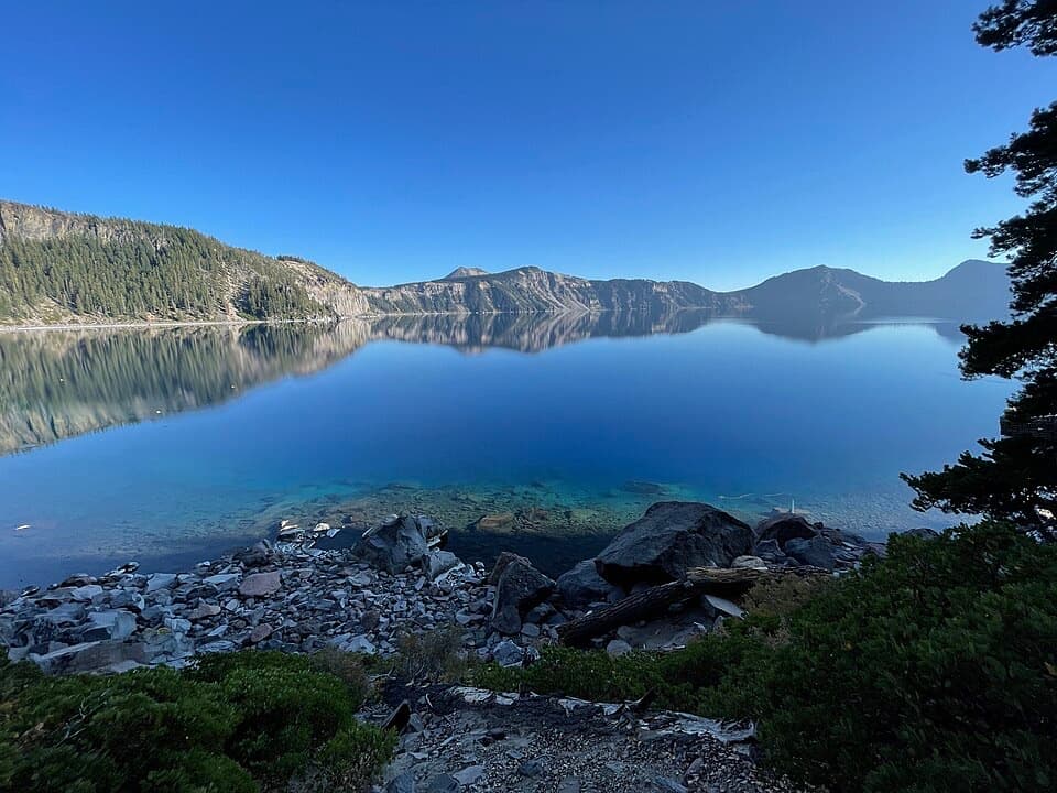 ChallengingCleetwood Cove Trail2.2 mi · 2.5 hr · 2.9 mi awayA rare walk to the water, with a serious climb back out.
 ModerateWatchman Peak Trail1.6 mi · 1 hr · 3.9 mi awayA short climb to a 1930s lookout above Wizard Island
 ModerateWizard Island Summit Trail2.4 mi · 1.5 hr · 4.3 mi awayA steep volcanic climb to a crater above the lake.
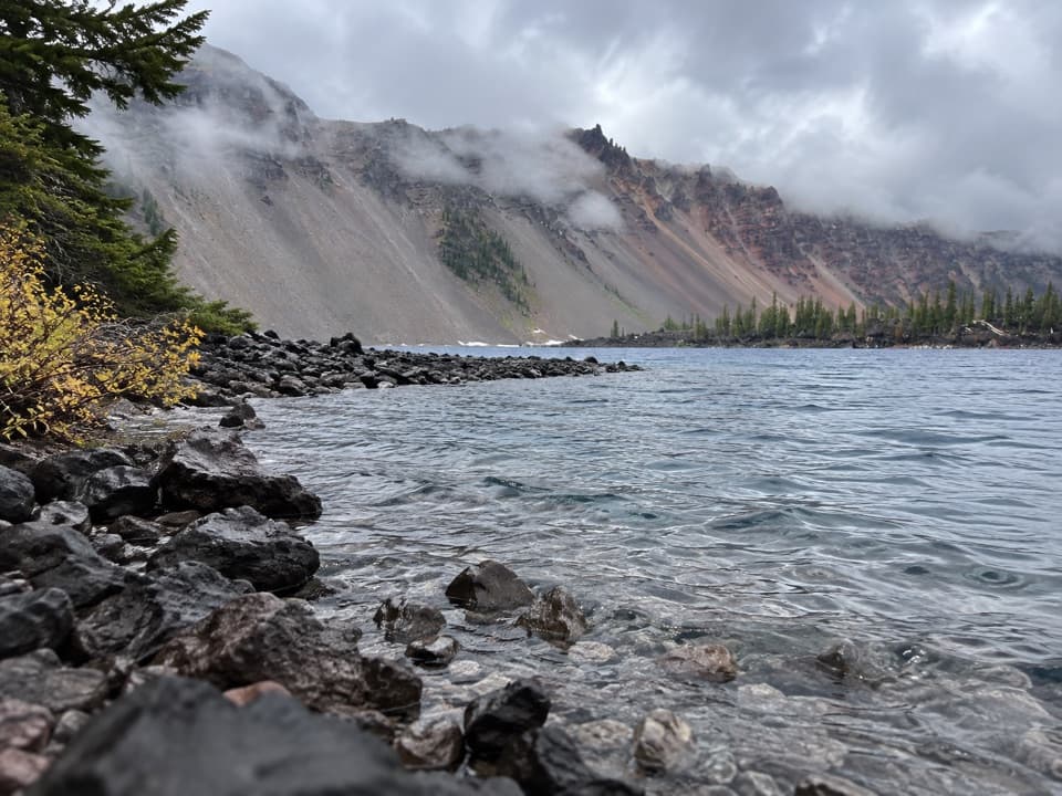 EasyFumarole Bay Trail1.5 mi · 1 hr · 4.3 mi awayA rocky Wizard Island shore walk to a clear, shallow bay.
 ModerateLightning Spring Trail8.4 mi · 4.5 hr · 4.6 mi awayA spring breaks up the long descent from the rim.
 ChallengingSmall PCT Loop24.8 mi · 12 hr · 4.6 mi awayRim views and remote PCT miles make this a real loop.
 ChallengingRim Trail16.2 mi · 9.5 hr · 5.4 mi awayWizard Island shifts position as you follow the western rim.
 Picnic area · 1.4 mi awaySteel Bay Picnic AreaAn easy picnic break above Steel Bay on the north rim.
 Scenic pullout · 2 mi awayPumice Point OverlookA white pumice cliff adds a geology stop to the rim drive.
 Picnic area · 2.2 mi awayPumice Point Picnic AreaA table stop to break up the north Rim Drive.
 Sight · 2.3 mi awayMerriam PointThe north road's first lake reveal, with Wizard Island in view.
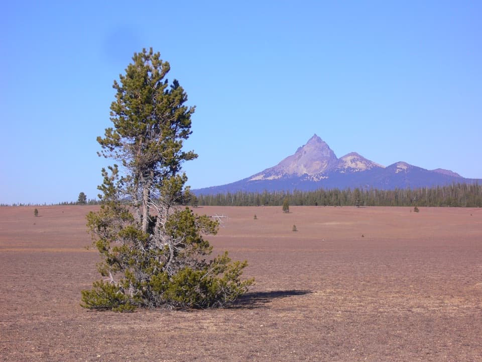 Scenic pullout · 2.4 mi awayPumice DesertA volcanic plain where plant recovery moves at a glacial pace.
 Scenic pullout · 2.6 mi awayDevil's Backbone PulloutA jagged lava dike cuts from the lake to the rim.Sight · 3.2 mi awayCleetwood CoveOnly legal shore access, with a strenuous climb back out.
 Sight · 3.4 mi awayDiamond Lake OverlookA northward mountain view worth adding to the West Rim drive.
Parkwolf’s Crater Lake ranking

The audio tour guide for the drive, plus offline maps, trails, and wildlife heatmaps for when the signal drops.