Goodbye Picnic Area in Crater Lake National Park

Picnic area · Crater Lake National Park

Goodbye Picnic Area

A shaded picnic break with a creek that can roar after snowmelt.

Photo: National Park Service
Type
Picnic area
Nearest trail
0.5 mi
Audio stories
9 nearby
  • Parking
  • Picnic tables
  • Restrooms
  • Pullout

Hear the audio tour

Goodbye Picnic Area and Its Bridge

Overview

About Goodbye Picnic Area

Why stop

  • Shaded tables beneath tall trees, with the creek audible nearby.

Heads up

  • No trail reaches the creek canyon.

Map

Where it is

Loading the Crater Lake map
Full map
Picnic areaGoodbye Picnic Area42.87029, -122.15293
Keep this map with you offline in the Parkwolf app

Plan your stop

Before you go

2 active Crater Lake alerts

  • ClosureCleetwood Cove Trail closed for rehabilitationCleetwood Cove Trail is closed to the public during construction to rehabilitate the trail and marina.Official details
  • CautionPinnacles Road restricted to hikers and bicyclistsPinnacles Road is open only to hikers and bicyclists because of a road construction project; motor vehicles cannot use it.Official details

Crater Lake alerts
A park ranger sits on a dash-mounted phone, talking, as Parkwolf’s Tour Guide plays “Army Cutworm Moths: A Grizzly Bear Buffet” on Grand Loop Road below Dunraven Pass in Yellowstone
Parkwolf Tour GuideThe highest, rockiest slopes around here are a summer buffet for grizzly bears.

Crater Lake Tour Guide

Your drive to Goodbye Picnic Area, narrated.

Parkwolf is a GPS audio tour guide for Crater Lake National Park. As you drive, it chimes in with what’s ahead: hidden gems, upcoming stops, history, geology, and wildlife, right through your car’s speakers.

See the Crater Lake audio tour

Recorded for this place

Goodbye Picnic Area and Its Bridge
0:00 / 0:25
“You’re nearing Goodbye Picnic Area on Munson Valley Road, a shaded place to eat something you’ve brought. The tables sit in two sections beside a deep creek canyon.”

Plays as you drive up to Goodbye Picnic Area in the Parkwolf Crater Lake Tour Guide.

More stories near here in the app

  • Godfrey Glen Trailhead
  • Mazama Village: Food and Supplies
  • Annie Spring Trailhead
  • A Jay's Winter Stores
  • 58 audio storiesacross Crater Lake’s roads, triggered by GPS as you drive
  • Wildlife heatmapsfor Black Bear, Mule Deer, Common Raven, and 13 more
  • Works offlinemaps, 34 trails, 49 places, and audio download before you lose signal
  • CarPlay readysimple controls built for the drive
★★★★★
“Fantastic app with many points of information… It’s great to just turn on while you’re driving and it gives you an audio tour of the national Park. We love it!!!!”
JMJamesApp Store review
Download Parkwolf on the App StoreGet Parkwolf on Google Play

4.7 from 8,600+ ratings

Guide

More about Goodbye Picnic Area

A shaded breakGoodbye Picnic Area is a small roadside picnic stop in two sections on the west side of Munson…

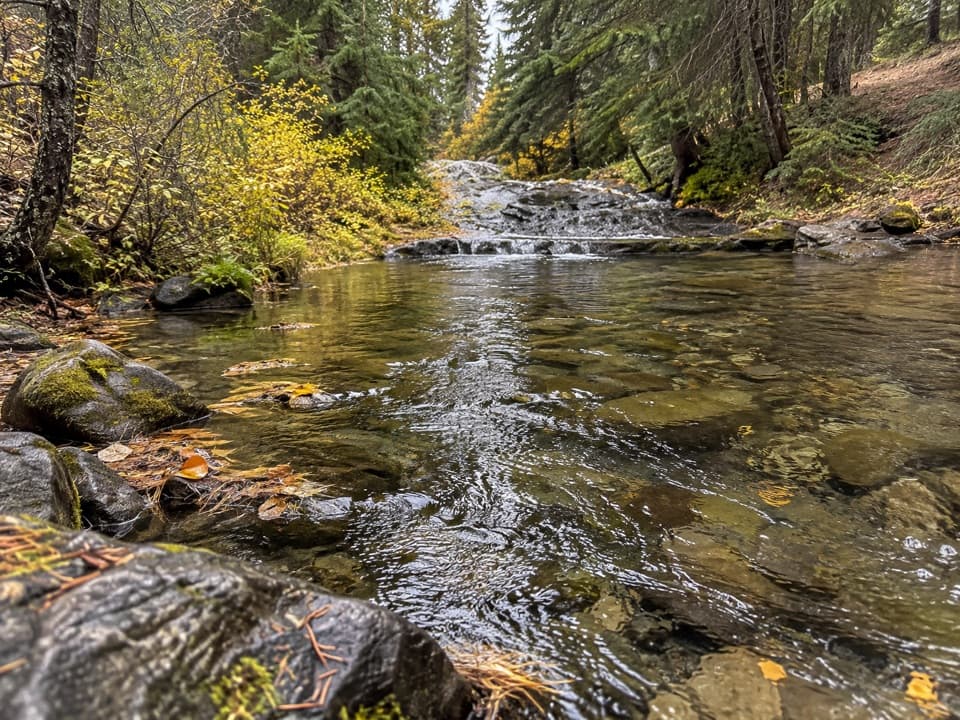
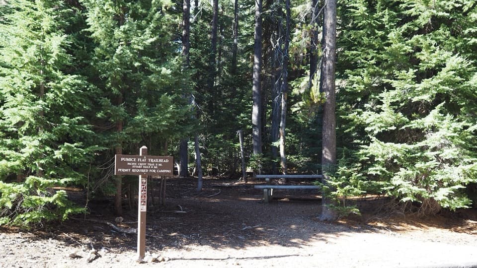
Goodbye Picnic Area is a small roadside picnic stop in two sections on the west side of Munson Valley Road, between Annie Spring Entrance Station and park headquarters. I'd stop for a meal or a short rest beneath its Shasta red fir, lodgepole pine and mountain hemlock; this is a practical pause, not a major outing. Goodbye Creek runs through the deep canyon between the sections, and it's usually easier to hear than see. After snowmelt, it can roar.

Pick the section you needThe facilities are split across the creek.

The facilities are split across the creek. The southbound section has pull-through curbside parking and two tables, but no accessible ramp from the curb. The other section has four angled spaces, room for a bus or RV, two tables (one with wheelchair access) and a vault toilet. Choose the latter if you need that table or toilet; no path from either section reaches the creek canyon.

The bridge beside itGoodbye Creek Bridge is 70 feet high and 218 feet from abutment to abutment.

Goodbye Creek Bridge is 70 feet high and 218 feet from abutment to abutment. Built in 1955 and 1956 with the bridge over Annie Creek a mile south, the two were the first glue-laminated spans in any National Park System unit.

Wildlife

Wildlife in Crater Lake

All Crater Lake wildlife maps

Sighting maps show where each species has been reported across Crater Lake. Wildlife moves, so no sighting is guaranteed.

Keep exploring

Near Goodbye Picnic Area

See it all on the map

Trails nearby

More stops nearby

Parkwolf’s Crater Lake ranking

Top sights in Crater Lake

All 49 places
  1. 1Watchman OverlookSight
  2. 2Sinnott Memorial OverlookSight
  3. 3Discovery PointSight
  4. 4Cloudcap OverlookSight
  5. 5Phantom Ship OverlookSight
  6. 6Pumice Castle OverlookSight

Take Parkwolf to Crater Lake.

The audio tour guide for the drive, plus offline maps, trails, and wildlife heatmaps for when the signal drops.

4.7 from 8,600+ ratings

Download Parkwolf on the App StoreGet Parkwolf on Google Play