Parking
Use the Mazama Store lot and walk through the campground to the amphitheater between loops D and E; the trail starts behind it. Parking in Loop E is limited.

Crater Lake National Park, OR
A short loop into a deep canyon beside Annie Creek.
Overview
Map & elevation
Plan your hike

The highest, rockiest slopes around here are a summer buffet for grizzly bears.
Crater Lake Tour Guide
Parkwolf is a GPS audio tour guide for Crater Lake National Park. As you drive, it chimes in with what’s ahead: hidden gems, upcoming stops, history, geology, and wildlife, right through your car’s speakers.
See the Crater Lake audio tourRecorded for this trailhead
Mazama Village: Food and Supplies“You're coming up on Mazama Village, a useful stop for a meal or supplies rather than a lake view.”
Plays as you drive up to this trailhead in the Parkwolf Crater Lake Tour Guide.
More stories near here in the app
“Fantastic app with many points of information… It’s great to just turn on while you’re driving and it gives you an audio tour of the national Park. We love it!!!!”


Trail guide
Annie Creek is a 1.7-mile loop from the amphitheater behind Mazama Campground. It starts on the canyon rim, drops to the creek, follows the water through a deep, forested cut, then climbs back out. Allow about an hour and a half. The distance is modest, but the switchbacks and the longer climb back make this a real hike; pick it for a close-up look at the creek and canyon rather than a lake view.
The first stretch follows the rim through forest, then a set of switchbacks drops about 200 feet to Annie Creek. The creekside section is flatter and follows the water upstream past small bridges and the Annie Creek Pinnacles. After the lower loop, the trail climbs out on the opposite side; that ascent is longer and steeper than the first descent. The rim route back toward camp is mostly level. Take your time where the trail switches back and on the climb out, even though the mileage looks short.
The creek cut into a thick layer of ash left by a major eruption; the park map puts that layer at about 200 feet thick. The route brings you alongside the stream instead of leaving the canyon as a distant overlook, and the pinnacles show how differently the ash has eroded. Look for American Dippers flying low over the water, plus wildflowers and pollinators along the trail. For a photo that reads as a canyon, keep both the creek and the pale walls in the frame rather than filling it with water alone.
Wildlife
 16 sightingsBlack BearMost seen around 8 PMSighting map
 178 sightingsMule DeerMost seen around 7 PMSighting map
 26 sightingsCommon RavenMost seen around 9 AMSighting map
 33 sightingsTurkey VultureMost seen around 1 PMSighting map
 47 sightingsRed-tailed HawkMost seen around 11 AMSighting map
 71 sightingsCascades FrogMost seen around 5 PMSighting map
Sighting maps show where each species has been reported across Crater Lake. Wildlife moves, so no sighting is guaranteed.
Keep exploring
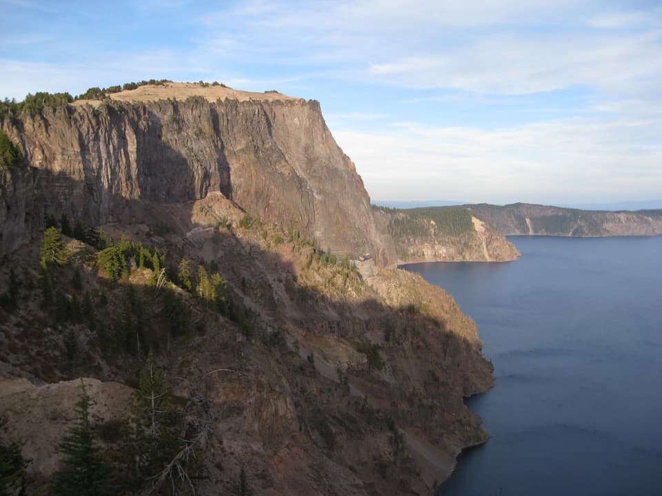 ChallengingLarge PCT Loop30 mi · 16 hr · 0.5 mi awayA 30-mile PCT loop from Mazama with long rim-side views.
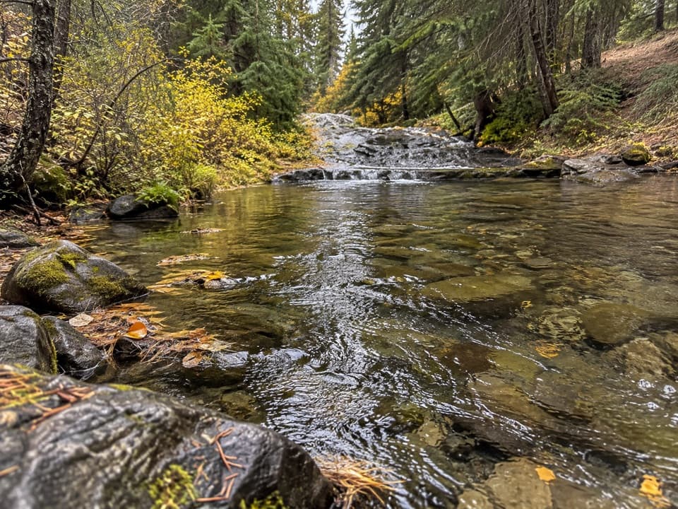 EasyAnnie Spring Trail1.6 mi · 1 hr · 0.5 mi awayA spring-side walk with an optional PCT extension.
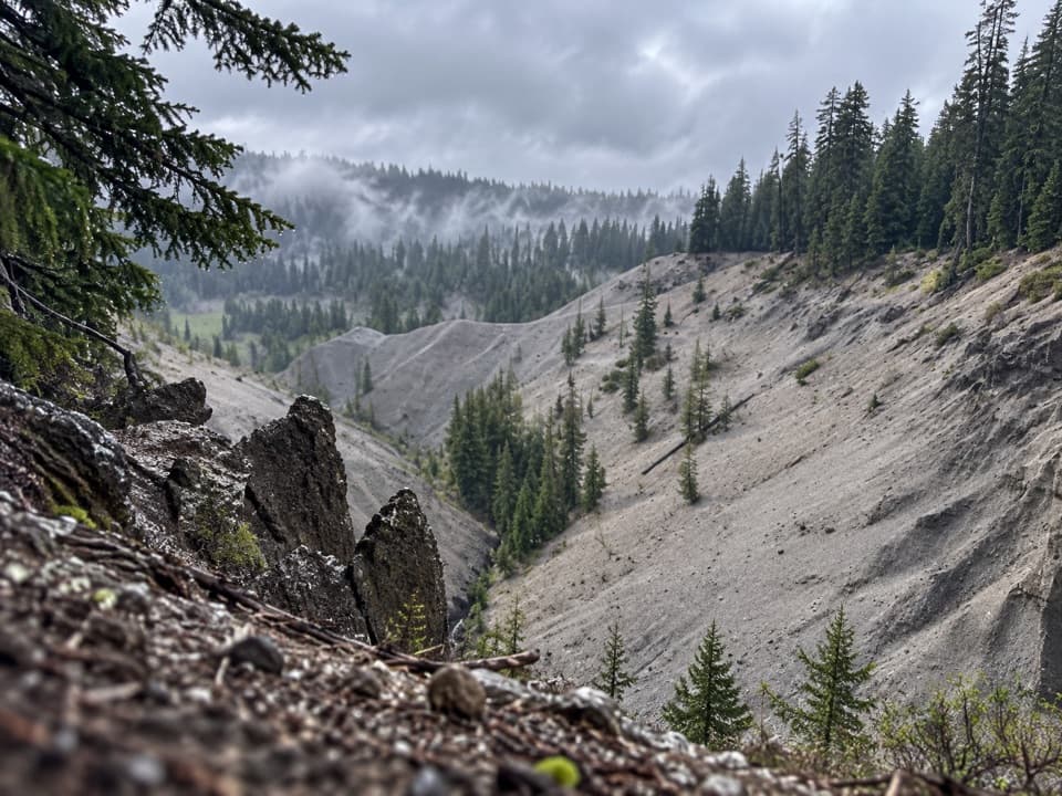 EasyGodfrey Glen Trail1.1 mi · 30 min · 0.8 mi awayA short, accessible loop with canyon views and volcanic spires.
 ChallengingUnion Peak Trail9.8 mi · 6 hr · 1 mi awayA long forest walk ends on a narrow summit with wide views.
 ChallengingUnion Peak and Stuart Falls Trail22.4 mi · 13 hr · 1 mi awayA long PCT hike pairs a rocky summit with a backcountry waterfall.
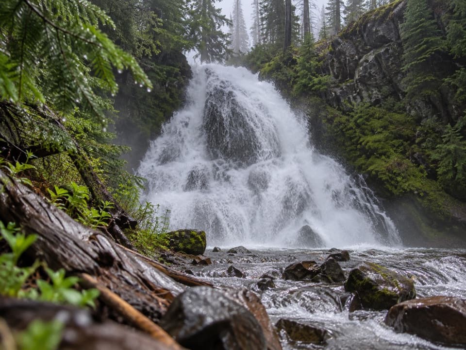 ModerateStuart Falls via Pumice Flat Trail11.9 mi · 6 hr · 2.2 mi awayA long walk from Pumice Flat reaches a waterfall beyond the park.
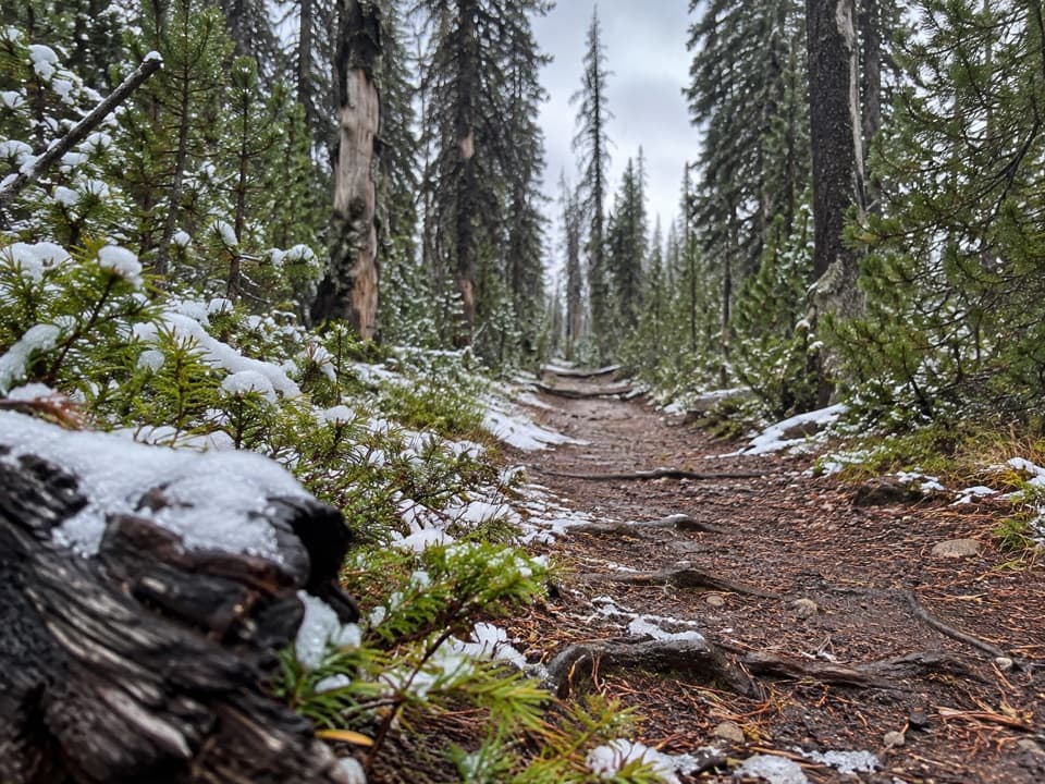 ModeratePumice Flat Trail5.5 mi · 4 hr · 2.2 mi awayA shaded climb opens onto pumice flats and a broad meadow.
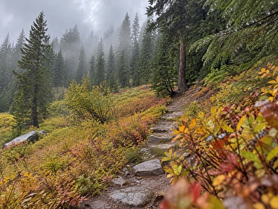 EasyCastle Crest Trail0.5 mi · 36 min · 2.2 mi awayA short loop around a spring-fed wildflower meadow.
 Campground · 0.2 mi awayMazama CampgroundA shady forest base six miles south of Rim Village.
 Store · 0.3 mi awayMazama Village StoreThe park’s only general store doubles as a seasonal fuel stop.
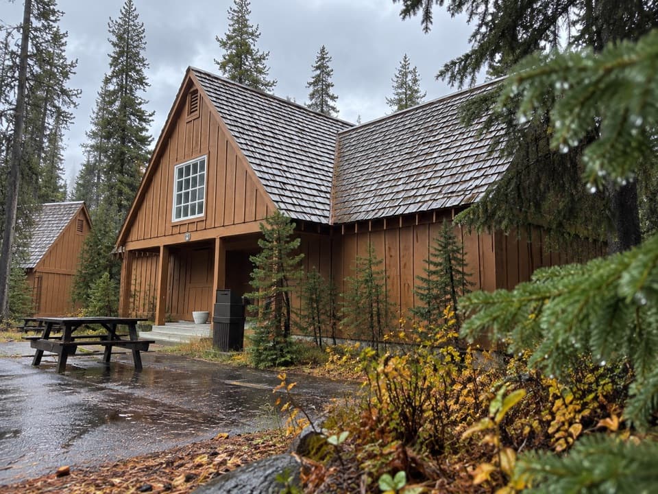 Lodging · 0.3 mi awayCabins at Mazama VillageA quiet pine-forest base, seven miles south of the rim.
 Restaurant · 0.4 mi awayAnnie Creek Restaurant & Gift ShopSeasonal meals, souvenirs and a separate scoop shop in Mazama Village.
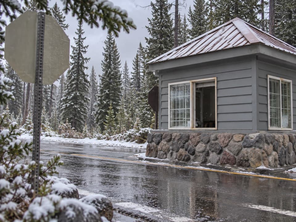 Entrance station · 0.4 mi awayAnnie Spring Entrance StationThe Highway 62 entry checkpoint for Crater Lake's south side.
 Picnic area · 0.5 mi awayGoodbye Picnic AreaA shaded picnic break with a creek that can roar after snowmelt.
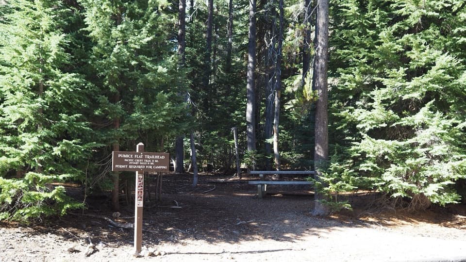 Picnic area · 2.2 mi awayLodgepole Picnic AreaA shady picnic stop beneath old-growth pines with trail access.
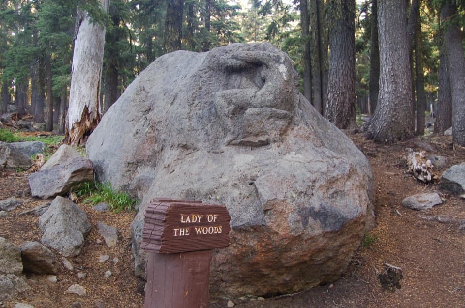 Sight · 2.4 mi awayLady of the WoodsA half-finished 1917 carving tucked into the forest.
Parkwolf’s Crater Lake ranking

The audio tour guide for the drive, plus offline maps, trails, and wildlife heatmaps for when the signal drops.