Parking
Start at Mazama Village by the Annie Spring/Annie Creek spur connection and return to the same village access. Use established village parking.
Crater Lake National Park, OR
A 30-mile PCT loop from Mazama with long rim-side views.
Overview
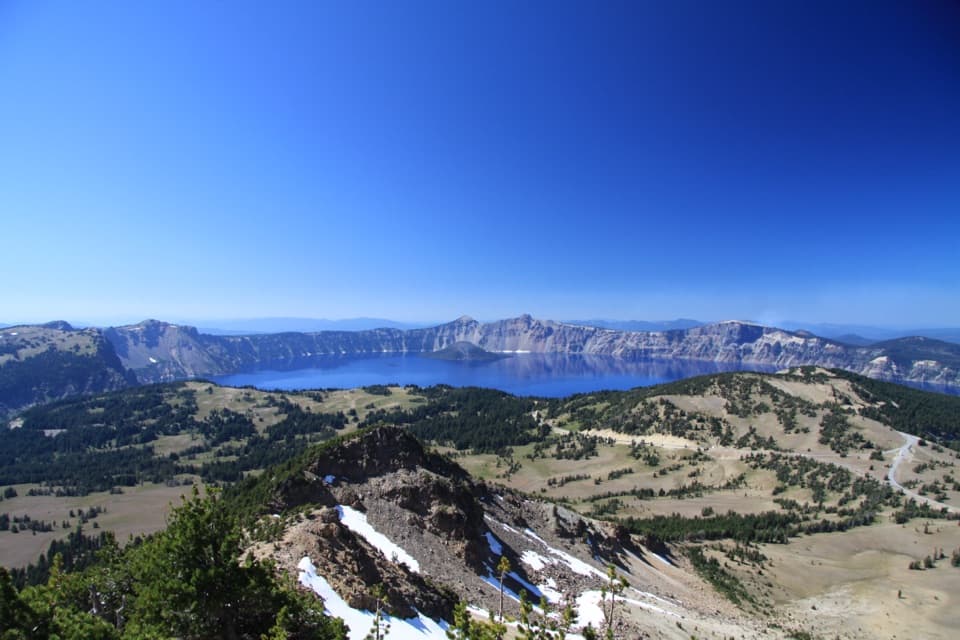
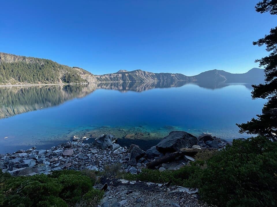
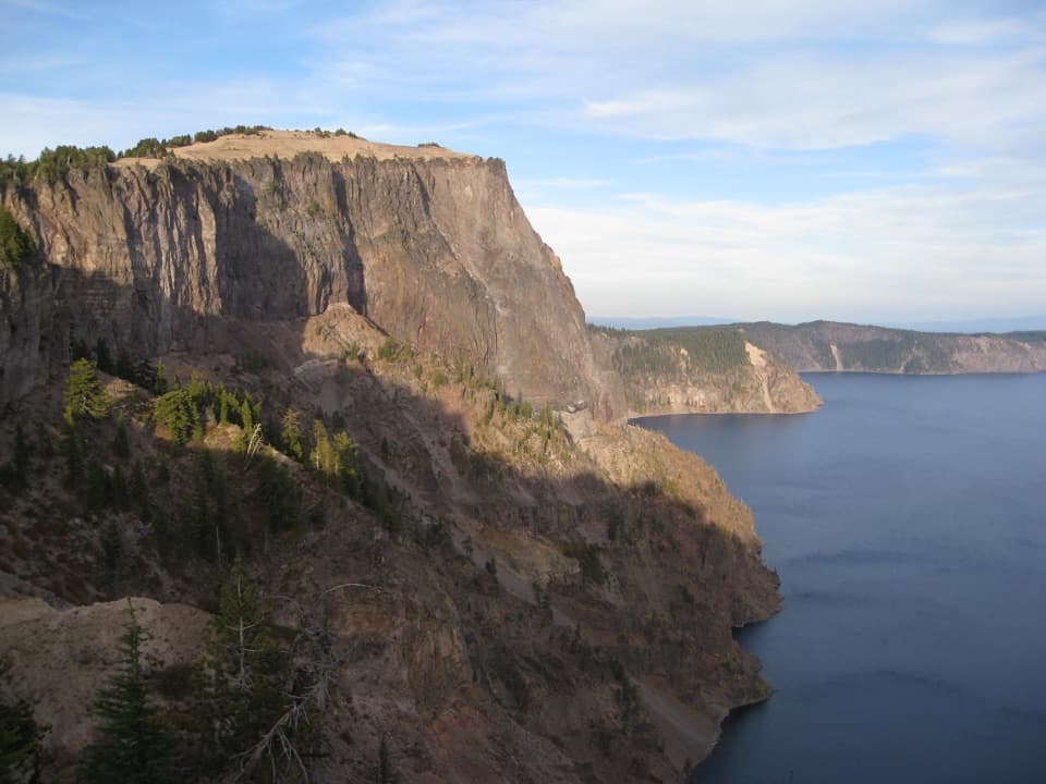
From Grouse Hill, the return first parallels the North Entrance Road, then follows the caldera edge south for roughly six miles of Crater Lake views before reaching Rim Village. Near Merriam Point, the sheer wall and water make the route’s standout view; leave a slice of lake in the frame to show the cliff’s scale. The rim alternate opened in 1995 so PCT hikers could see the lake without leaving the route to visit Rim Village.
 Parkwolf’s verdictThe rim side is the payoff
Map & elevation
Plan your hike

The highest, rockiest slopes around here are a summer buffet for grizzly bears.
Crater Lake Tour Guide
Parkwolf is a GPS audio tour guide for Crater Lake National Park. As you drive, it chimes in with what’s ahead: hidden gems, upcoming stops, history, geology, and wildlife, right through your car’s speakers.
See the Crater Lake audio tourRecorded for this trailhead
Annie Spring Trailhead“You're approaching Annie Spring Trailhead, a choice for a forest walk to the water that feeds Annie Creek. A short side path reaches the spring, where water emerges beneath the trees.”
Plays as you drive up to this trailhead in the Parkwolf Crater Lake Tour Guide.
More stories near here in the app
“Fantastic app with many points of information… It’s great to just turn on while you’re driving and it gives you an audio tour of the national Park. We love it!!!!”


Trail guide
Large PCT Loop is roughly 30 miles from Mazama Village, using the standard Pacific Crest Trail for one half and the lake-rim alternate for the other. Take the village spur to the PCT and follow it north past Dutton Creek, Bybee Creek and Red Cone Springs to Grouse Hill. Return south along the rim to Rim Village, descend Dutton Creek Trail to the PCT, then follow the Mazama spur back. Plan about 16 hours of walking, usually split across two or three days. This is a hard backcountry trip for fit hikers who can manage long days and plan their water and overnight stops.
The standard PCT leg keeps you away from the caldera edge for much of the way. It passes through forest and fire-scarred country near Red Cone, with more potential creek access than the rim alternate. Dutton Creek, Bybee Creek and Red Cone Springs are useful landmarks along the way, but a campsite or a water source on a map is not a guarantee that it will be available.
The backcountry is dry. The rim leg has a long stretch without dependable water, and springs or creeks can dry by late July or early August. Carry at least a gallon per person, treat creek water, and check current water reports before leaving Mazama. Don’t build a plan around a spring or cache without confirming it.
Overnight backcountry camping requires a permit, and camping is limited to designated sites or legal dispersed areas. Check the current rules and map before deciding where to stop. Mazama Village is the practical resupply point: food, showers and other supplies are available when the seasonal services are operating.
If you want Crater Lake from the rim but not a multi-day backcountry trip, walk the shorter Discovery Point section from Rim Village instead. The big loop makes sense when you also want the long PCT approach and have time to handle the water and overnight logistics.
Wildlife
 16 sightingsBlack BearMost seen around 8 PMSighting map
 178 sightingsMule DeerMost seen around 7 PMSighting map
 26 sightingsCommon RavenMost seen around 9 AMSighting map
 33 sightingsTurkey VultureMost seen around 1 PMSighting map
 47 sightingsRed-tailed HawkMost seen around 11 AMSighting map
 71 sightingsCascades FrogMost seen around 5 PMSighting map
Sighting maps show where each species has been reported across Crater Lake. Wildlife moves, so no sighting is guaranteed.
Keep exploring
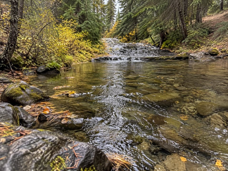 EasyAnnie Spring Trail1.6 mi · 1 hr · At the trailheadA spring-side walk with an optional PCT extension.
 ModerateAnnie Creek Canyon Trail1.7 mi · 1.5 hr · 0.5 mi awayA short loop into a deep canyon beside Annie Creek.
 ChallengingUnion Peak Trail9.8 mi · 6 hr · 0.5 mi awayA long forest walk ends on a narrow summit with wide views.
 ChallengingUnion Peak and Stuart Falls Trail22.4 mi · 13 hr · 0.5 mi awayA long PCT hike pairs a rocky summit with a backcountry waterfall.
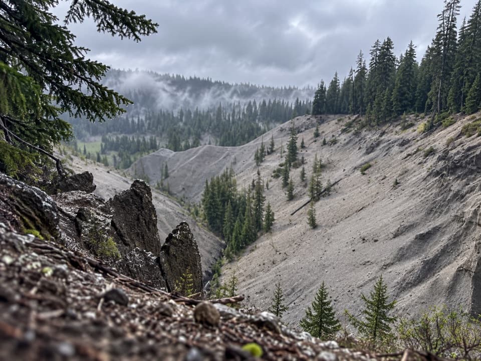 EasyGodfrey Glen Trail1.1 mi · 30 min · 1.3 mi awayA short, accessible loop with canyon views and volcanic spires.
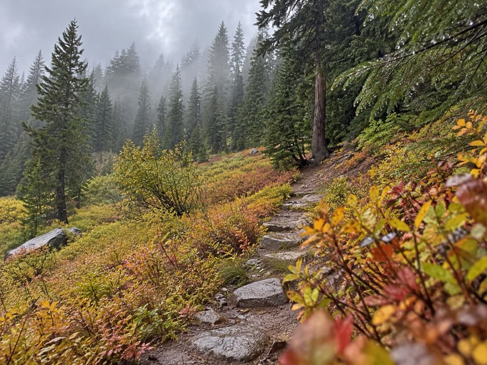 EasyCastle Crest Trail0.5 mi · 36 min · 2.3 mi awayA short loop around a spring-fed wildflower meadow.
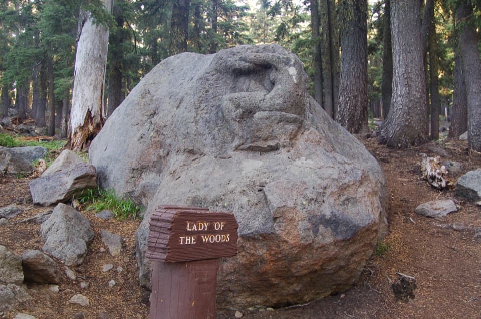 EasyLady of the Woods Trail0.7 mi · 36 min · 2.5 mi awayA short history loop to a weathered forest carving.
 ModerateRaven Trail2 mi · 2.5 hr · 2.5 mi awayA marked winter climb to the caldera rim.
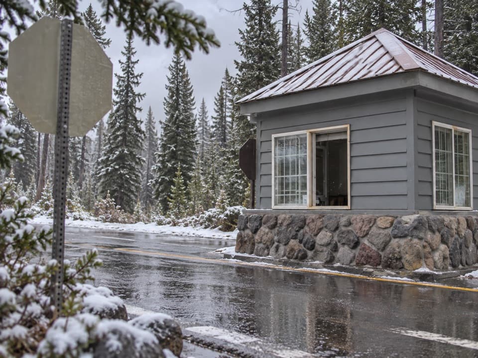 Entrance station · 0.2 mi awayAnnie Spring Entrance StationThe Highway 62 entry checkpoint for Crater Lake's south side.
 Restaurant · 0.3 mi awayAnnie Creek Restaurant & Gift ShopSeasonal meals, souvenirs and a separate scoop shop in Mazama Village.
 Store · 0.3 mi awayMazama Village StoreThe park’s only general store doubles as a seasonal fuel stop.
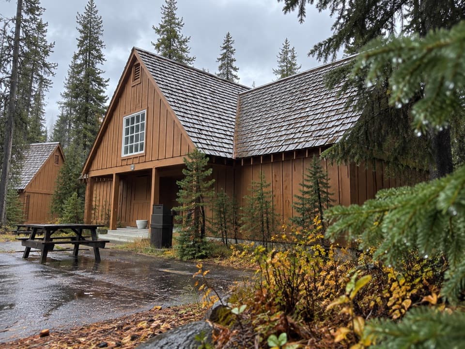 Lodging · 0.5 mi awayCabins at Mazama VillageA quiet pine-forest base, seven miles south of the rim.
 Campground · 0.6 mi awayMazama CampgroundA shady forest base six miles south of Rim Village.
 Picnic area · 0.8 mi awayGoodbye Picnic AreaA shaded picnic break with a creek that can roar after snowmelt.Sight · 2.4 mi awayLady of the WoodsA half-finished 1917 carving tucked into the forest.
 Visitor center · 2.5 mi awaySteel Information CenterA practical first stop for ranger advice and Crater Lake context.
Parkwolf’s Crater Lake ranking
The audio tour guide for the drive, plus offline maps, trails, and wildlife heatmaps for when the signal drops.