Best time to go
East Rim Drive closes for winter around November 1 or earlier, then opens in spring in sections as snow melts. Check road conditions before planning a late-fall or early-season stop.

Picnic area · Crater Lake National Park
A picnic stop doubles as Crater Peak's creekside trailhead.
Overview
Map
Plan your stop

The highest, rockiest slopes around here are a summer buffet for grizzly bears.
Crater Lake Tour Guide
Parkwolf is a GPS audio tour guide for Crater Lake National Park. As you drive, it chimes in with what’s ahead: hidden gems, upcoming stops, history, geology, and wildlife, right through your car’s speakers.
See the Crater Lake audio tourRecorded for this place
Vidae Falls Picnic Area and Crater Peak“Vidae Falls Picnic Area is coming up, a small stop reached by a short access road from East Rim Drive. Use this for a picnic break; the waterfall pullout is a separate stop.”
Plays as you drive up to Vidae Falls Picnic Area in the Parkwolf Crater Lake Tour Guide.
More stories near here in the app
“Fantastic app with many points of information… It’s great to just turn on while you’re driving and it gives you an audio tour of the national Park. We love it!!!!”


Guide
Vidae Falls Picnic Area is a small picnic stop on East Rim Drive, reached by a short access road near the separate Vidae Falls roadside pullout. It is about three miles east of park headquarters and also serves as the start of the Crater Peak Trail. For the trail, use the first three spaces on the right in front of the trailhead sign; the picnic grounds and waterfall pullout are separate stops.
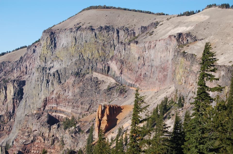
Crater Peak Trail starts with a shaded crossing of Vidae Creek, then climbs through forest. Farther up, the route gives a view into Sun Creek canyon and crosses a talus slope to a natural rock wall at the saddle. The hike is moderate to strenuous, and snow can linger into summer; the grassland summit is known for wildflowers, so check conditions before setting out.
Trail safety and picnic-area restoration drove a redesign: a blind curve on Rim Drive, damaged trail tread, and a picnic area needing revegetation all called for work. Planning wrapped in 1999, and construction began in August 2000. Friends of Crater Lake and Pacific Northwest Youth Corps built the new connection through boulder-strewn ground.
Wildlife
 16 sightingsBlack BearMost seen around 8 PMSighting map
 178 sightingsMule DeerMost seen around 7 PMSighting map
 26 sightingsCommon RavenMost seen around 9 AMSighting map
 33 sightingsTurkey VultureMost seen around 1 PMSighting map
 47 sightingsRed-tailed HawkMost seen around 11 AMSighting map
 71 sightingsCascades FrogMost seen around 5 PMSighting map
Sighting maps show where each species has been reported across Crater Lake. Wildlife moves, so no sighting is guaranteed.
Keep exploring
 ModerateCrater Peak Trail6.5 mi · 3.5 hr · At the trailheadA forested climb to a volcanic summit above the Klamath Basin.
 ModerateGrayback Road8 mi · 4 hr · At the trailheadA broad, quiet forest walk along an old rim road
 EasySun Notch Trail0.8 mi · 36 min · 1.2 mi awayA short loop through a pumice meadow to Phantom Ship.
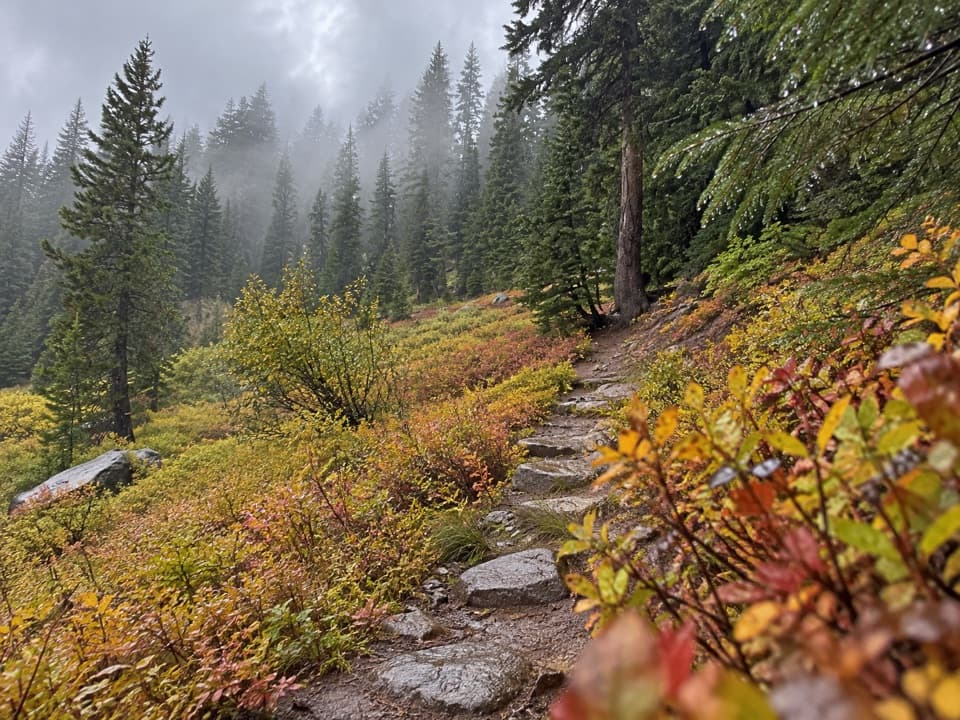 EasyCastle Crest Trail0.5 mi · 36 min · 1.9 mi awayA short loop around a spring-fed wildflower meadow.
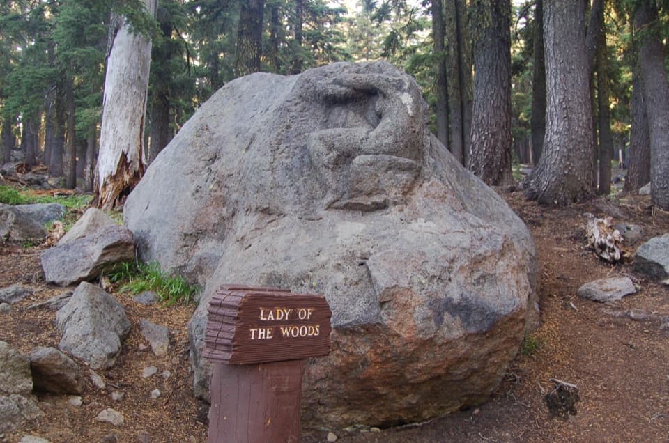 EasyLady of the Woods Trail0.7 mi · 36 min · 2.1 mi awayA short history loop to a weathered forest carving.
 ModerateRaven Trail2 mi · 2.5 hr · 2.1 mi awayA marked winter climb to the caldera rim.
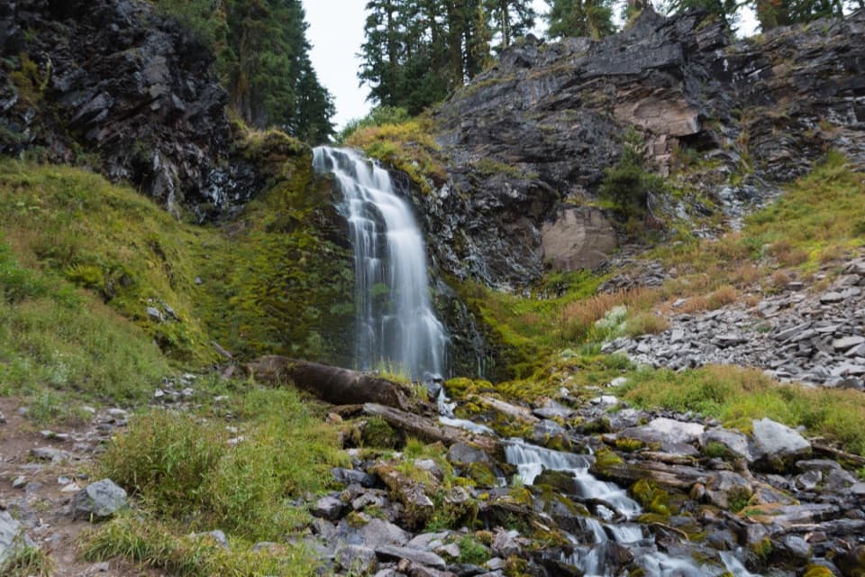 EasyPlaikni Falls Trail2 mi · 1 hr · 2.3 mi awayA gentle forest walk to a waterfall, with a brief final climb.
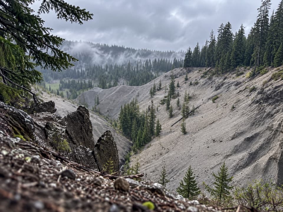 EasyGodfrey Glen Trail1.1 mi · 30 min · 2.7 mi awayA short, accessible loop with canyon views and volcanic spires.
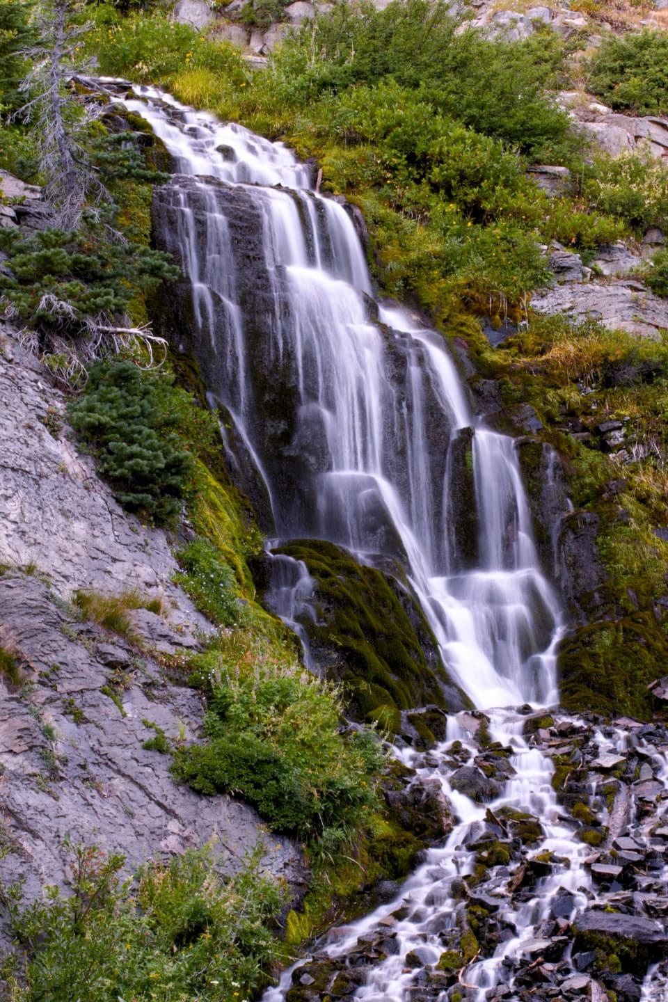 Sight · 0.2 mi awayVidae FallsA spring-fed cascade right off East Rim Drive.
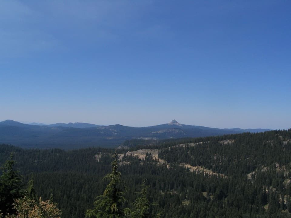 Scenic pullout · 0.8 mi awayDutton Ridge PulloutAn east-facing stop for the Klamath Basin beyond the rim.
 Sight · 1.4 mi awaySun Notch OverlookAn uphill walk reaches Phantom Ship from several rim angles.
 Visitor center · 2.1 mi awaySteel Information CenterA practical first stop for ranger advice and Crater Lake context.Sight · 2.2 mi awayLady of the WoodsA half-finished 1917 carving tucked into the forest.
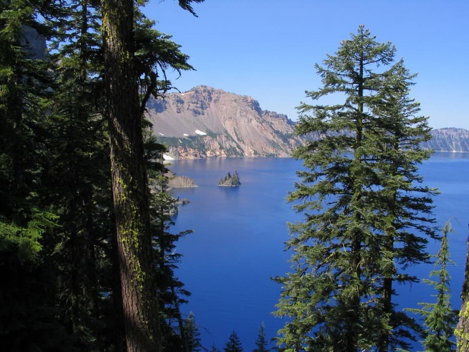 Sight · 2.6 mi awayPhantom Ship OverlookA jagged volcanic island that wears a ship's shape in fog.
 Lodging · 2.9 mi awayCrater Lake LodgeA historic rim lodge with a lake-view porch and big stone fireplace.
 Picnic area · 2.9 mi awayGoodbye Picnic AreaA shaded picnic break with a creek that can roar after snowmelt.
Parkwolf’s Crater Lake ranking

The audio tour guide for the drive, plus offline maps, trails, and wildlife heatmaps for when the signal drops.