Parking
Park at Vidae Falls Picnic Area. Cross East Rim Drive to the closure bar opposite the Crater Peak Trailhead; the old road begins there.

Crater Lake National Park, OR
A broad, quiet forest walk along an old rim road
Overview
Map & elevation
Plan your hike

The highest, rockiest slopes around here are a summer buffet for grizzly bears.
Crater Lake Tour Guide
Parkwolf is a GPS audio tour guide for Crater Lake National Park. As you drive, it chimes in with what’s ahead: hidden gems, upcoming stops, history, geology, and wildlife, right through your car’s speakers.
See the Crater Lake audio tourRecorded for this trailhead
Vidae Falls Picnic Area and Crater Peak“Vidae Falls Picnic Area is coming up, a small stop reached by a short access road from East Rim Drive. Use this for a picnic break; the waterfall pullout is a separate stop.”
Plays as you drive up to this trailhead in the Parkwolf Crater Lake Tour Guide.
More stories near here in the app
“Fantastic app with many points of information… It’s great to just turn on while you’re driving and it gives you an audio tour of the national Park. We love it!!!!”


Trail guide
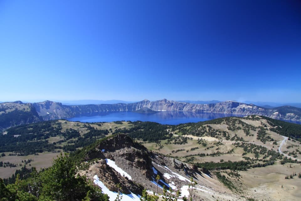
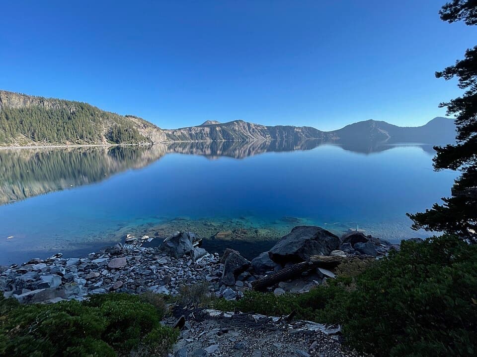
Grayback Road is an out-and-back along a broad gravel remnant of the old Rim Road, mostly through forest with creeks, wildflowers and scenic openings. The park lists it at 8 miles round trip; the mapped Grayback path runs about 4.6 miles one way, so walking its full length out and back comes closer to 9 miles. The public descriptions do not name a turnaround, so treat the distance as approximate and allow about four hours. Choose it for a quieter, longer walk rather than a quick viewpoint stop.
Park at Vidae Falls Picnic Area, then cross East Rim Drive to the closure bar opposite the Crater Peak Trailhead. That is the Grayback Road start. The wide gravel track follows the old road to a junction with Grayback Drive and returns the same way. Its broad surface feels more like a former road than a narrow hiking tread. The park describes forest, creeks, wildflowers and scenic views, but does not say where those features fall along the route or identify a named destination.
This route follows a surviving corridor of the historic Rim Road, the early road that once let visitors circle the caldera. By 1919, roughly 35 miles of rim road were in place; later, modern Rim Drive superseded it. The Grayback section keeps little of the old road beyond its width, so the history is in following that broad line through the forest.
Hikers share this route with bicycles and horses, and leashed dogs are allowed. Grayback is the park’s only trail specifically identified for mountain biking. At this elevation, snow and ice commonly cover high-elevation trails from December into June; during that season the park says trails are unmarked and unavailable for winter or spring hiking. Check current access before setting out.
Wildlife
 16 sightingsBlack BearMost seen around 8 PMSighting map
 178 sightingsMule DeerMost seen around 7 PMSighting map
 26 sightingsCommon RavenMost seen around 9 AMSighting map
 33 sightingsTurkey VultureMost seen around 1 PMSighting map
 47 sightingsRed-tailed HawkMost seen around 11 AMSighting map
 71 sightingsCascades FrogMost seen around 5 PMSighting map
Sighting maps show where each species has been reported across Crater Lake. Wildlife moves, so no sighting is guaranteed.
Keep exploring
 ModerateCrater Peak Trail6.5 mi · 3.5 hr · At the trailheadA forested climb to a volcanic summit above the Klamath Basin.
 EasySun Notch Trail0.8 mi · 36 min · 1.2 mi awayA short loop through a pumice meadow to Phantom Ship.
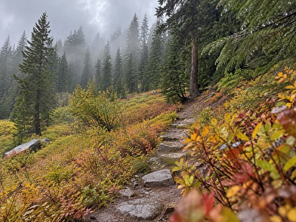 EasyCastle Crest Trail0.5 mi · 36 min · 1.9 mi awayA short loop around a spring-fed wildflower meadow.
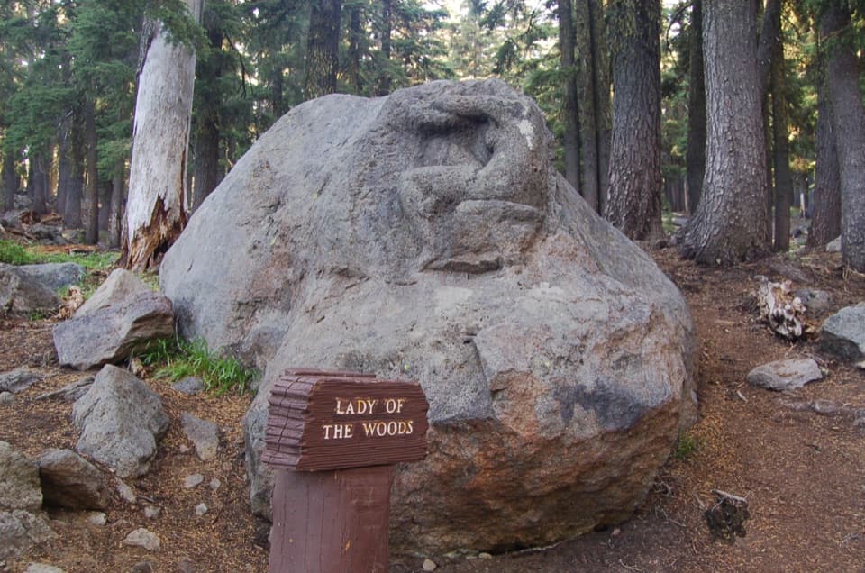 EasyLady of the Woods Trail0.7 mi · 36 min · 2.1 mi awayA short history loop to a weathered forest carving.
 ModerateRaven Trail2 mi · 2.5 hr · 2.1 mi awayA marked winter climb to the caldera rim.
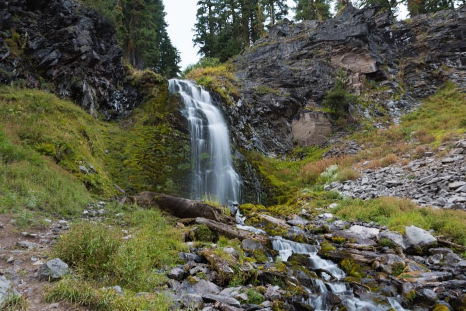 EasyPlaikni Falls Trail2 mi · 1 hr · 2.3 mi awayA gentle forest walk to a waterfall, with a brief final climb.
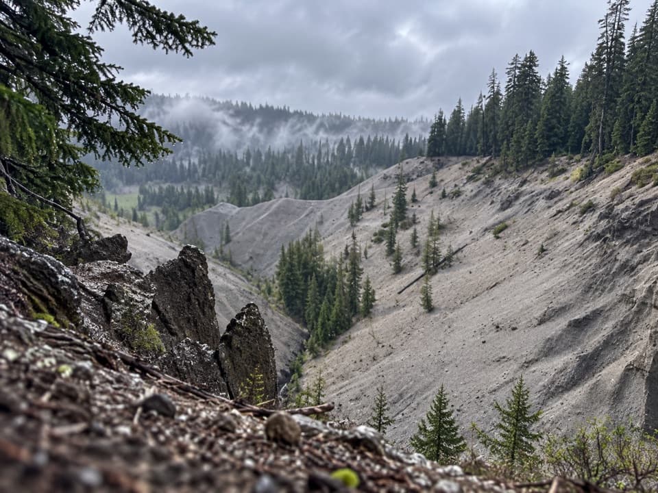 EasyGodfrey Glen Trail1.1 mi · 30 min · 2.7 mi awayA short, accessible loop with canyon views and volcanic spires.
 ModerateGarfield Peak Trail3.6 mi · 2.5 hr · 2.9 mi awayA steady climb earns broad views from Crater Lake’s rim.
 Picnic area · At the trailheadVidae Falls Picnic AreaA picnic stop doubles as Crater Peak's creekside trailhead.
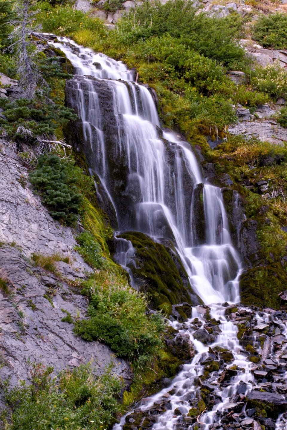 Sight · 0.2 mi awayVidae FallsA spring-fed cascade right off East Rim Drive.
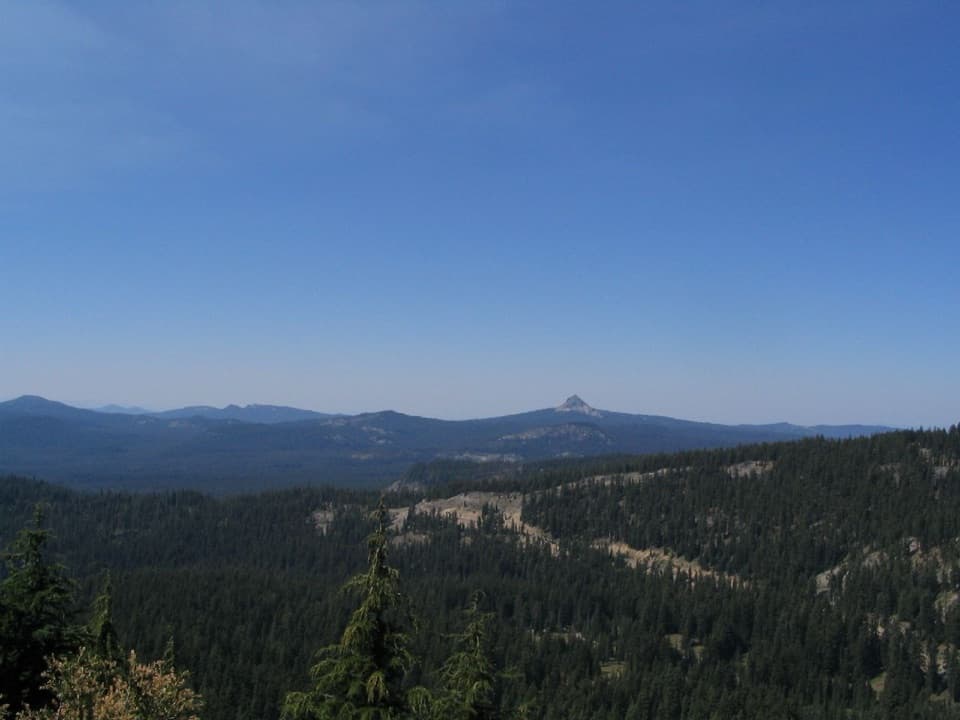 Scenic pullout · 0.8 mi awayDutton Ridge PulloutAn east-facing stop for the Klamath Basin beyond the rim.
 Sight · 1.4 mi awaySun Notch OverlookAn uphill walk reaches Phantom Ship from several rim angles.
 Visitor center · 2.1 mi awaySteel Information CenterA practical first stop for ranger advice and Crater Lake context.Sight · 2.2 mi awayLady of the WoodsA half-finished 1917 carving tucked into the forest.
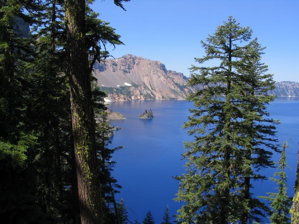 Sight · 2.5 mi awayPhantom Ship OverlookA jagged volcanic island that wears a ship's shape in fog.
 Lodging · 2.9 mi awayCrater Lake LodgeA historic rim lodge with a lake-view porch and big stone fireplace.
Parkwolf’s Crater Lake ranking

The audio tour guide for the drive, plus offline maps, trails, and wildlife heatmaps for when the signal drops.