Parking
Use the pullout beside the trailhead just below the West Rim Drive and Rim Village junction, or park in Rim Village and walk to the trailhead.

Crater Lake National Park, OR
A steep forest descent to Dutton Creek and the Pacific Crest Trail.
Overview
Map & elevation
Plan your hike

The highest, rockiest slopes around here are a summer buffet for grizzly bears.
Crater Lake Tour Guide
Parkwolf is a GPS audio tour guide for Crater Lake National Park. As you drive, it chimes in with what’s ahead: hidden gems, upcoming stops, history, geology, and wildlife, right through your car’s speakers.
See the Crater Lake audio tourRecorded for this area
Rim Village and Sinnott Memorial“Rim Village is coming up, a useful stop for a lake walk and a bite to eat. Make time for Sinnott Memorial if you want geology exhibits alongside a sheltered view of the water.”
Plays on the road 0.1 mi from the trailhead in the Parkwolf Crater Lake Tour Guide.
More stories near here in the app
“Fantastic app with many points of information… It’s great to just turn on while you’re driving and it gives you an audio tour of the national Park. We love it!!!!”


Trail guide
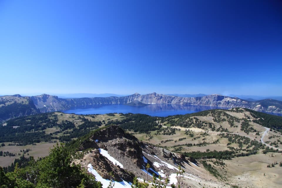
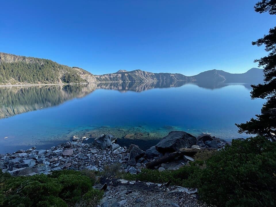
Dutton Creek Trail is a 4.6-mile out-and-back from just below the West Rim Drive and Rim Village junction to the Pacific Crest Trail. It drops 2.3 miles through forest, crosses Dutton Creek and opens into grassy meadows; then you climb back about 1,000 feet. Allow around three hours. Choose it for a long forest walk and a little history, not another rim overlook.
The first 1.25 miles down from the trailhead are the steepest, so the hardest uphill comes at the end of the return. A few stream crossings come in the first mile. At about 1.25 miles, the trail reaches a tributary and a backcountry camping area; the grade eases after that, with another mile down to the wet, flat PCT junction. Turn around there. If 4.6 miles sounds like more than you want, turning back at the tributary makes an outing of roughly 2.5 miles, but you’ll miss the lower meadows and the PCT.
The upper trail runs through old mountain hemlock forest. Farther down, lodgepole pines become more open and grassy meadows appear. Dutton Creek and its tributaries shape the route, but expect stream crossings rather than a dry ridge walk.
A group of tourists from Jacksonville blazed a route up Dutton Creek in 1869 to reach the rim from the Army wagon road. Much of today’s trail follows that old track; it remained an important approach until the Munson Valley route was improved in 1905. The creek and trail are named for Captain Clarence E. Dutton, who led the USGS team that first sounded Crater Lake’s depth in 1886.
Wildlife
 16 sightingsBlack BearMost seen around 8 PMSighting map
 178 sightingsMule DeerMost seen around 7 PMSighting map
 26 sightingsCommon RavenMost seen around 9 AMSighting map
 33 sightingsTurkey VultureMost seen around 1 PMSighting map
 47 sightingsRed-tailed HawkMost seen around 11 AMSighting map
 71 sightingsCascades FrogMost seen around 5 PMSighting map
Sighting maps show where each species has been reported across Crater Lake. Wildlife moves, so no sighting is guaranteed.
Keep exploring
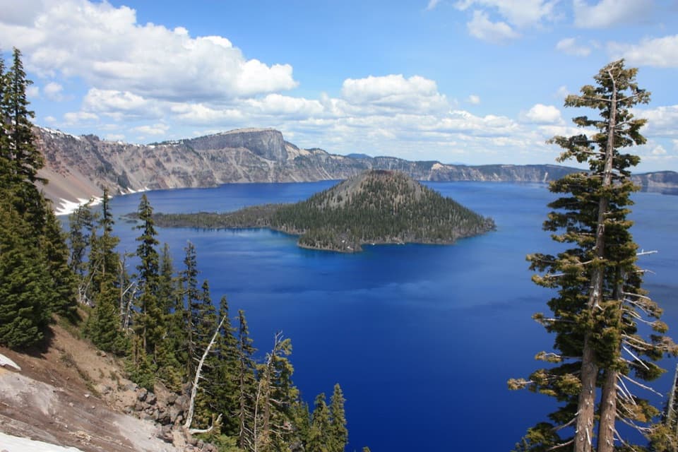 EasyDiscovery Point Trail2 mi · 1 hr · At the trailheadWizard Island keeps appearing through the wind-shaped rim forest.
 ModerateDutton/Lightning Loop12.9 mi · 7 hr · At the trailheadA long forest loop earns its lake view at the west rim.
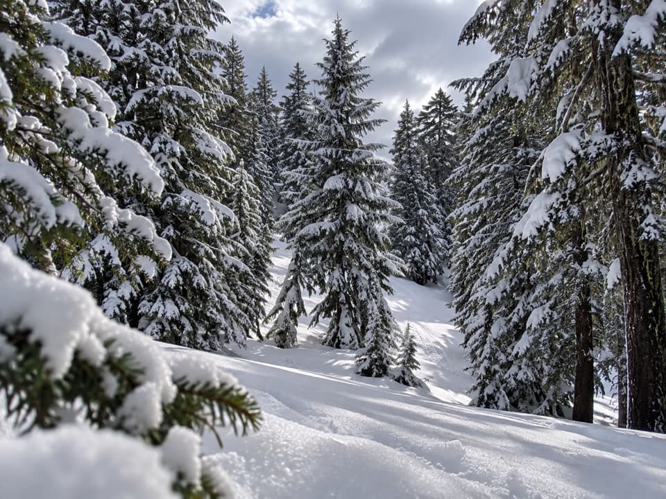 ModerateHemlock Loop1.3 mi · 1.5 hr · 0.1 mi awayA marked winter loop through hemlock forest with Garfield Peak views.
 ModerateGarfield Peak Trail3.6 mi · 2.5 hr · 0.3 mi awayA steady climb earns broad views from Crater Lake’s rim.
 ChallengingRim Trail16.2 mi · 9.5 hr · 1 mi awayWizard Island shifts position as you follow the western rim.
 ModerateRaven Trail2 mi · 2.5 hr · 1.2 mi awayA marked winter climb to the caldera rim.
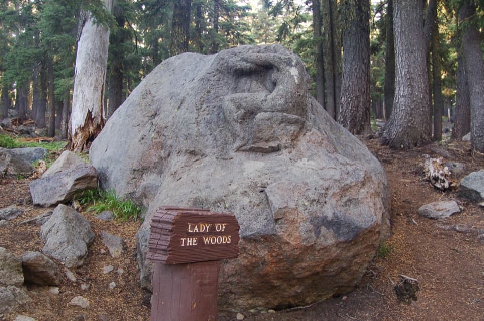 EasyLady of the Woods Trail0.7 mi · 36 min · 1.2 mi awayA short history loop to a weathered forest carving.
 ModerateWizard Island Summit Trail2.4 mi · 1.5 hr · 1.6 mi awayA steep volcanic climb to a crater above the lake.
 Food · 0.1 mi awayRim Village Café & GiftsA quick bite, lake-view patio, and souvenirs in one stop.
 Visitor center · 0.2 mi awayRim Visitor CenterStart here for ranger help, passport stamps, and a rim-side stroll.
 Sight · 0.2 mi awaySinnott Memorial OverlookA stone shelter frames the lake and explains the caldera.
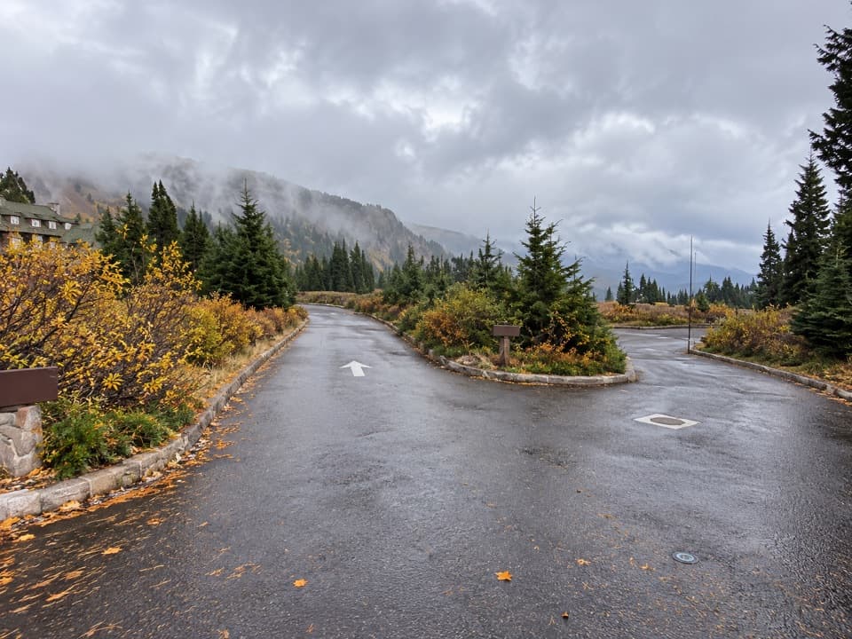 Picnic area · 0.3 mi awayRim Village Picnic AreaA shaded picnic stop just south of the lodge.
 Lodging · 0.4 mi awayCrater Lake LodgeA historic rim lodge with a lake-view porch and big stone fireplace.Sight · 1 mi awayDiscovery PointA lake view with Wizard Island and the Lost Cabin story.Sight · 1.2 mi awayLady of the WoodsA half-finished 1917 carving tucked into the forest.
 Visitor center · 1.2 mi awaySteel Information CenterA practical first stop for ranger advice and Crater Lake context.
Parkwolf’s Crater Lake ranking

The audio tour guide for the drive, plus offline maps, trails, and wildlife heatmaps for when the signal drops.