Parking
Use the large Discovery Point pullout about one mile west of Rim Village, at the end of Discovery Point Trail. Starting from Rim Village adds about one mile each way.

#10 of 34 trails in Crater Lake
Crater Lake National Park, OR
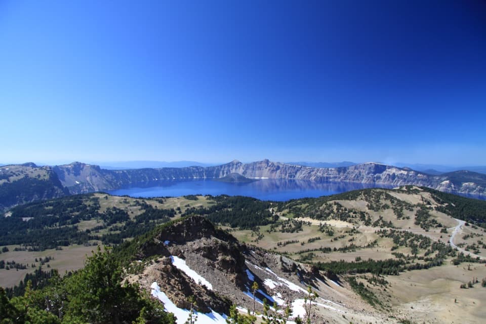
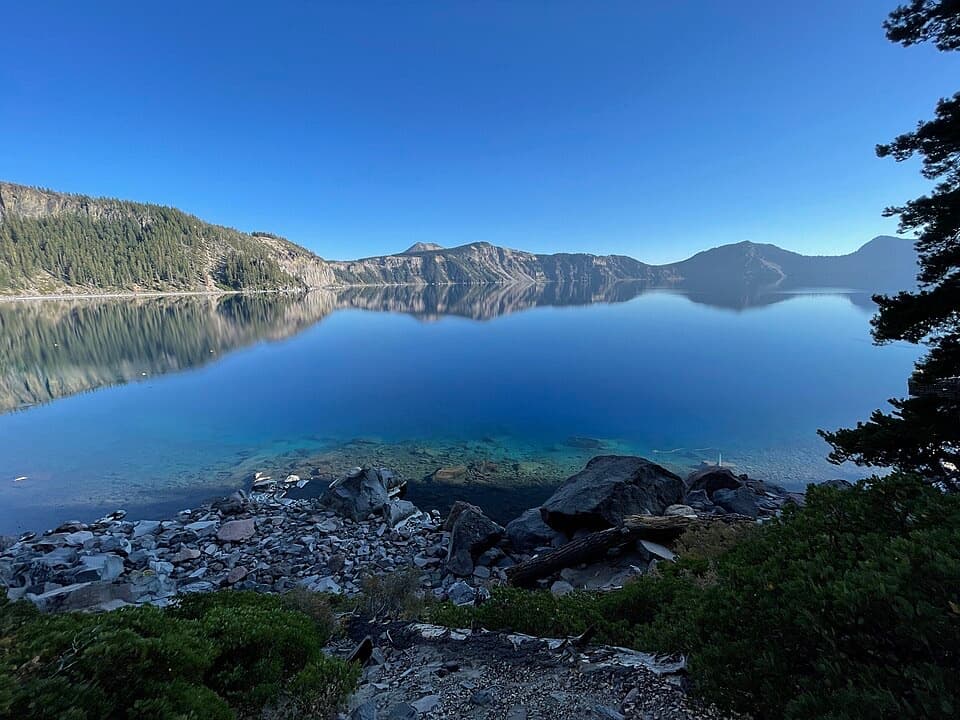
Wizard Island shifts position as you follow the western rim.
Overview
The Rim Trail follows Crater Lake’s west rim from the Discovery Point pullout north to the Pacific Crest Trail (PCT). The mapped corridor is about 8.1 miles each way; walking back makes this a roughly 16.2-mile out-and-back, a full-day hike of about 9–10 hours. The park does not publish a full-route mileage, and other route descriptions measure roughly 8.1–8.6 miles one way depending on their start, endpoint and track. Plan for 16–17 miles. If that is too much, Merriam Point makes a useful turnaround at about 11 miles round trip. This route does not circle the lake.
Map & elevation
Plan your hike

The highest, rockiest slopes around here are a summer buffet for grizzly bears.
Crater Lake Tour Guide
Parkwolf is a GPS audio tour guide for Crater Lake National Park. As you drive, it chimes in with what’s ahead: hidden gems, upcoming stops, history, geology, and wildlife, right through your car’s speakers.
See the Crater Lake audio tourRecorded for this trailhead
Discovery Point“Up ahead is Discovery Point, where a roadside pullout gives you a broad view of the lake and Wizard Island. The name recalls gold seekers searching for the fabled Lost Cabin mine in eighteen fifty-three.”
Plays as you drive up to this trailhead in the Parkwolf Crater Lake Tour Guide.
More stories near here in the app
“Fantastic app with many points of information… It’s great to just turn on while you’re driving and it gives you an audio tour of the national Park. We love it!!!!”


Trail guide
The first 3.6 miles through the Watchman and Hillman Peak area are the hilliest, with the steepest climbing between Discovery Point and Watchman. At the Watchman junction, the separate Watchman Peak spur climbs to its fire lookout; the Rim Trail continues downhill to Watchman Overlook, then rises around Hillman Peak. After Hillman, the route levels and trends downhill toward Merriam Point. The long distance and elevation make the full return hard even though the tread is generally a hiking path rather than technical terrain.
Wizard Island keeps shifting position as you move along the western rim. Openings near the beginning, Watchman Overlook and other east-facing viewpoints give you different angles across the water and caldera walls. Near Merriam Point, Llao Rock and the narrow Devil’s Backbone sharpen the view. Take time at the established overlooks: the changes in island, cliff and shoreline are the reason to walk this rim rather than simply drive between viewpoints.
Merriam Point is the last lake viewpoint on this route. From there the path turns north, crosses East Rim Drive and continues through the quieter northern section toward the PCT. The final few miles no longer show the lake; the view opens across the pumice landscape toward Mount Thielsen and Mount Bailey instead. If you turn at Merriam, you keep the lake-centered part and avoid the long, viewless return from the PCT, while still making an approximately 11-mile day.
Parts of the route follow a narrow path beside the broad abandoned Rim Road bed, with old stone support work visible near Hillman Peak. Elsewhere it crosses open pumice with little shade. The route stays high on the caldera rim, reaching roughly 7,700 feet, and snow can cover it into early July. Check snow and footing before an early-season hike; the long exposed stretches make timing and a realistic turnaround especially important.
About 7,700 years ago, eruptions emptied Mount Mazama’s magma chamber and the summit collapsed to form the caldera. North of Merriam Point, the trail looks across the Pumice Desert, a former glacial valley buried by pumice and scoria, in places more than 200 feet deep. The porous deposits slow plant growth; only 16 plant species have been documented in the protected research area. It is a striking change after hours beside the lake: a broad, pale volcanic basin rather than another overlook.
Start at the large Discovery Point pullout about a mile west of Rim Village, where the Discovery Point Trail ends and the Rim Trail begins. Starting at Rim Village adds about a mile each way. The mapped northern endpoint is the PCT junction. Red Cone Trailhead is about a tenth of a mile farther, beyond a crossing of North Entrance Road; treat that as a separate pickup connection, not part of this mapped route, and use care around fast traffic. Pets are prohibited on the Rim Trail; the pet allowance for the PCT applies to the PCT itself, not this park trail.
Wildlife
 16 sightingsBlack BearMost seen around 8 PMSighting map
 178 sightingsMule DeerMost seen around 7 PMSighting map
 26 sightingsCommon RavenMost seen around 9 AMSighting map
 33 sightingsTurkey VultureMost seen around 1 PMSighting map
 47 sightingsRed-tailed HawkMost seen around 11 AMSighting map
 71 sightingsCascades FrogMost seen around 5 PMSighting map
Sighting maps show where each species has been reported across Crater Lake. Wildlife moves, so no sighting is guaranteed.
Keep exploring
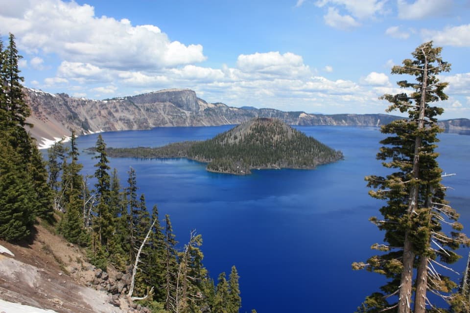 EasyDiscovery Point Trail2 mi · 1 hr · 1 mi awayWizard Island keeps appearing through the wind-shaped rim forest.
 ModerateDutton/Lightning Loop12.9 mi · 7 hr · 1 mi awayA long forest loop earns its lake view at the west rim.
 ModerateDutton Creek Trail4.6 mi · 3 hr · 1 mi awayA steep forest descent to Dutton Creek and the Pacific Crest Trail.
 ChallengingSmall PCT Loop24.8 mi · 12 hr · 1 mi awayRim views and remote PCT miles make this a real loop.
 ModerateLightning Spring Trail8.4 mi · 4.5 hr · 1 mi awayA spring breaks up the long descent from the rim.
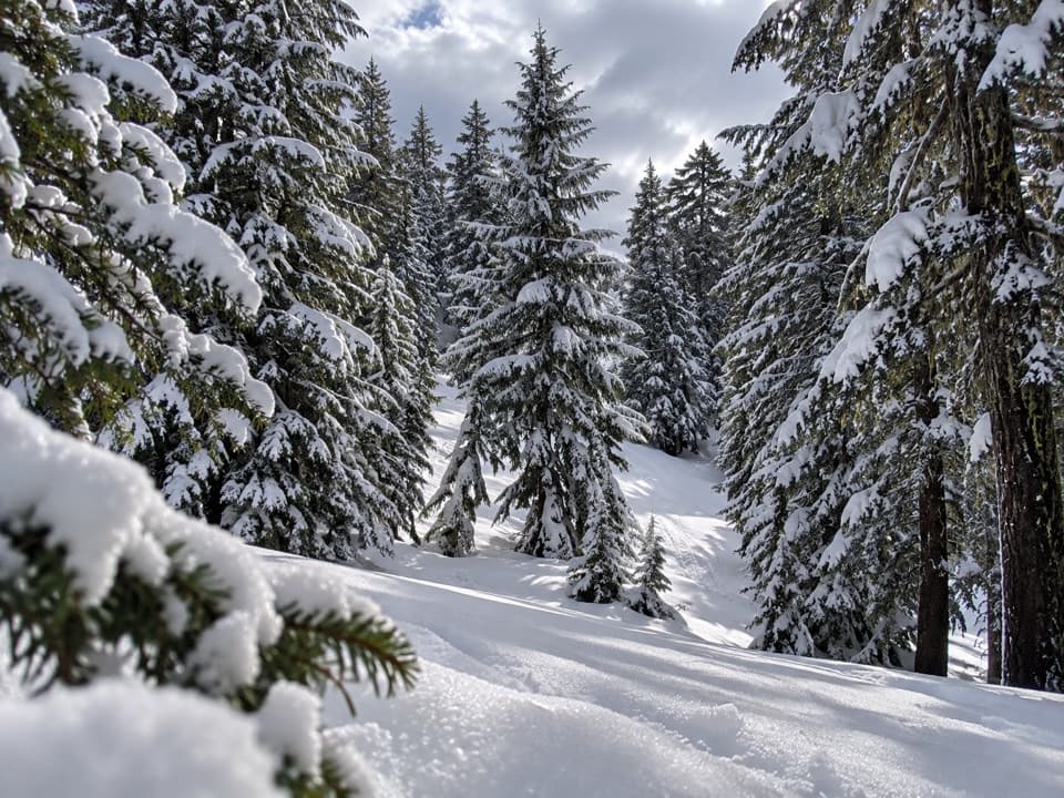 ModerateHemlock Loop1.3 mi · 1.5 hr · 1 mi awayA marked winter loop through hemlock forest with Garfield Peak views.
 ModerateWizard Island Summit Trail2.4 mi · 1.5 hr · 1.1 mi awayA steep volcanic climb to a crater above the lake.
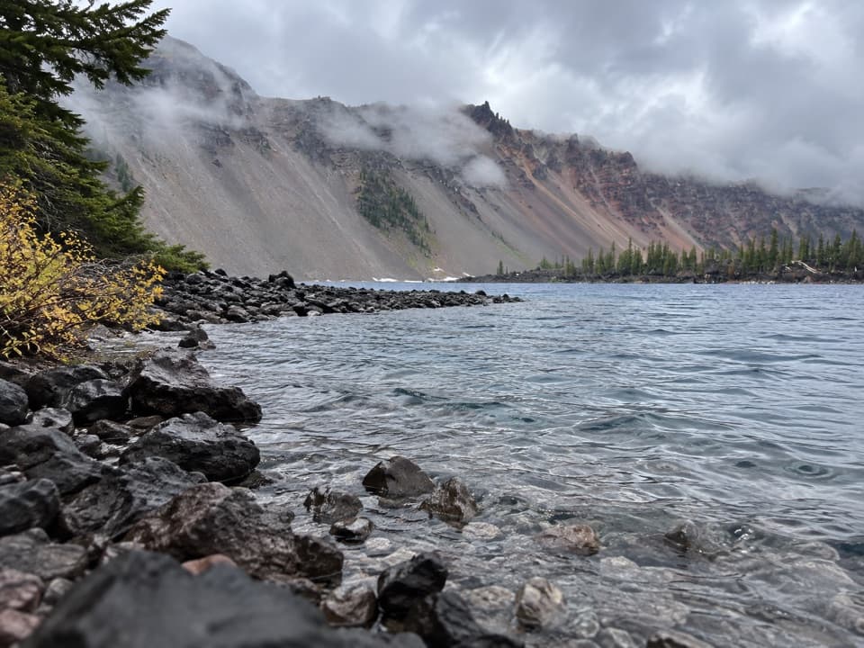 EasyFumarole Bay Trail1.5 mi · 1 hr · 1.1 mi awayA rocky Wizard Island shore walk to a clear, shallow bay.Sight · At the trailheadDiscovery PointA lake view with Wizard Island and the Lost Cabin story.
 Food · 1.1 mi awayRim Village Café & GiftsA quick bite, lake-view patio, and souvenirs in one stop.Picnic area · 1.1 mi awayLightning Spring Picnic AreaWalk up from the picnic area for a Wizard Island view.
 Visitor center · 1.2 mi awayRim Visitor CenterStart here for ranger help, passport stamps, and a rim-side stroll.
 Sight · 1.2 mi awaySinnott Memorial OverlookA stone shelter frames the lake and explains the caldera.
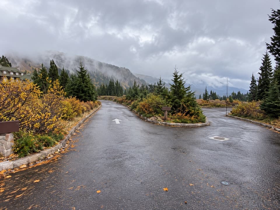 Picnic area · 1.3 mi awayRim Village Picnic AreaA shaded picnic stop just south of the lodge.
 Lodging · 1.3 mi awayCrater Lake LodgeA historic rim lodge with a lake-view porch and big stone fireplace.
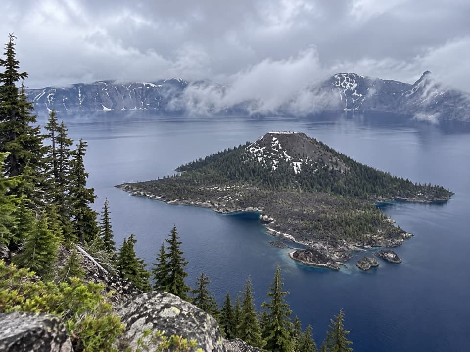 Sight · 1.5 mi awayWizard IslandA cinder cone with a crater, rising from the caldera lake.
Parkwolf’s Crater Lake ranking

The audio tour guide for the drive, plus offline maps, trails, and wildlife heatmaps for when the signal drops.