Overview
About Hole-In-Wall Picnic Area
Why stop
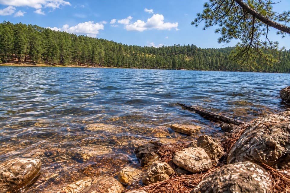
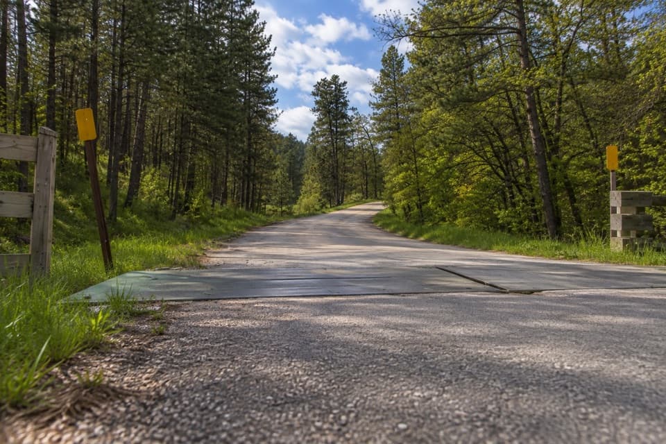
- The bridge, creek and rock opening make a simple roadside stop distinctive.
Heads up
- The payoff is brief; it is not worth a dedicated trip on its own.
Map
Where it is

The highest, rockiest slopes around here are a summer buffet for grizzly bears.
Custer Tour Guide
Your drive to Hole-In-Wall Picnic Area, narrated.
Parkwolf is a GPS audio tour guide for Custer State Park. As you drive, it chimes in with what’s ahead: hidden gems, upcoming stops, history, geology, and wildlife, right through your car’s speakers.
Recorded for this place
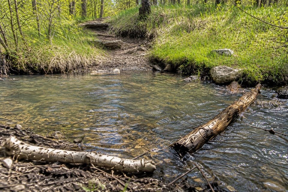
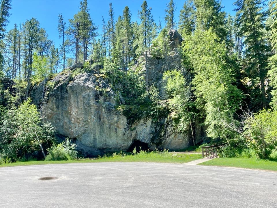
Hole-In-Wall: A Bridge and a Rock Opening“You're nearing Hole-In-Wall Picnic Area on Needles Highway. If there's a parking space, it's a quick leg-stretch: cross the short footbridge over the creek to see the small, dark opening in the rock wall.”
Plays as you drive up to Hole-In-Wall Picnic Area in the Parkwolf Custer Tour Guide.
More stories near here in the app
- Iron Creek: The Centennial Trail Traverse
- The Pine's Two Kinds of Cones
- Ice in the Granite Cracks
- Black Hills Playhouse: A Summer Show
- 82 audio storiesacross Custer’s roads, triggered by GPS as you drive
- Wildlife heatmapsfor Bison, Wapiti, Bighorn Sheep, and 13 more
- Works offlinemaps, 40 trails, 49 places, and audio download before you lose signal
- CarPlay readysimple controls built for the drive
“We recently toured Badlands, Custer State Park, Mount Rushmore and more! We learned so much from this app as we toured each of these sites. The audio tours are worth the money.”


Guide
More about Hole-In-Wall Picnic Area
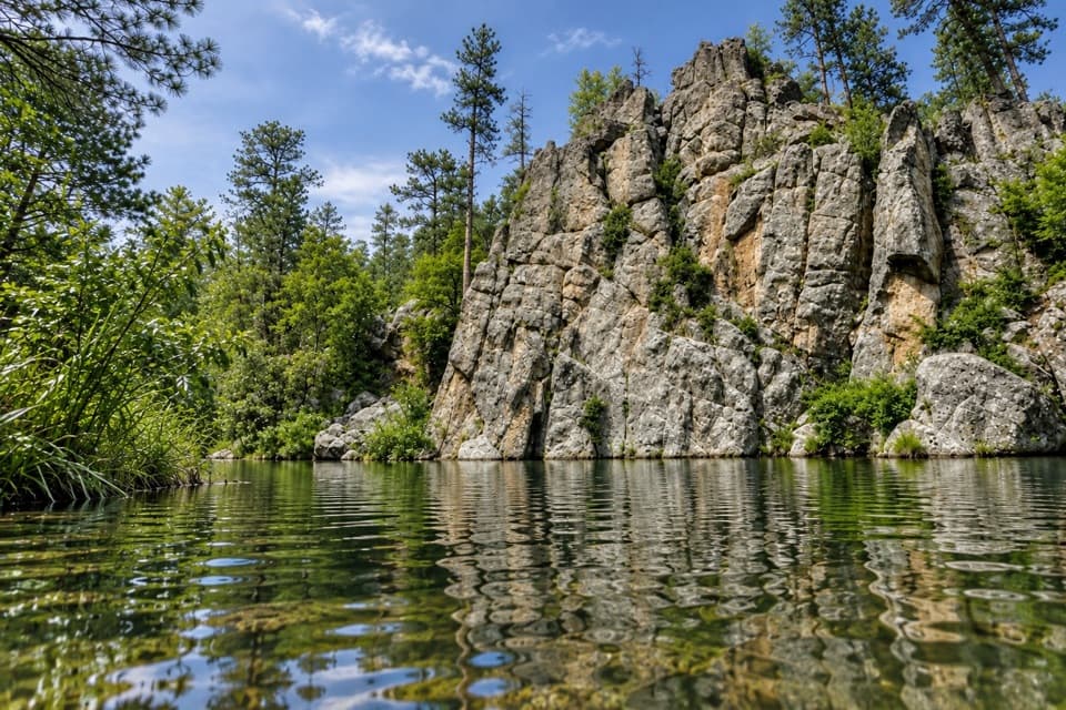
A quick cave stopHole-In-Wall is a small rock opening beside a picnic area on Needles Highway.
Hole-In-Wall is a small rock opening beside a picnic area on Needles Highway. Cross the short footbridge over the creek for a look inside. It’s an easy leg-stretch during the drive; I wouldn’t plan a separate outing around it.
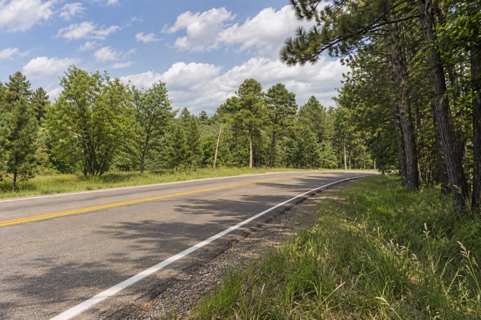
Fit it into the driveThe picnic area is on Needles Highway between the Needles Eye and Center Lake.
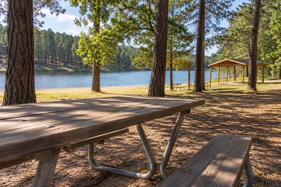
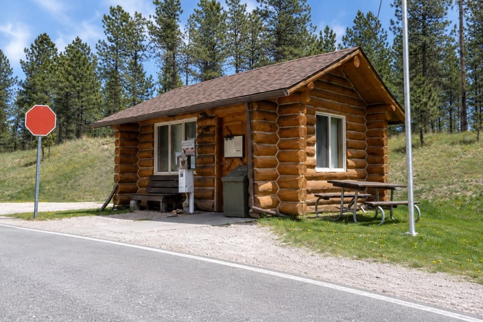
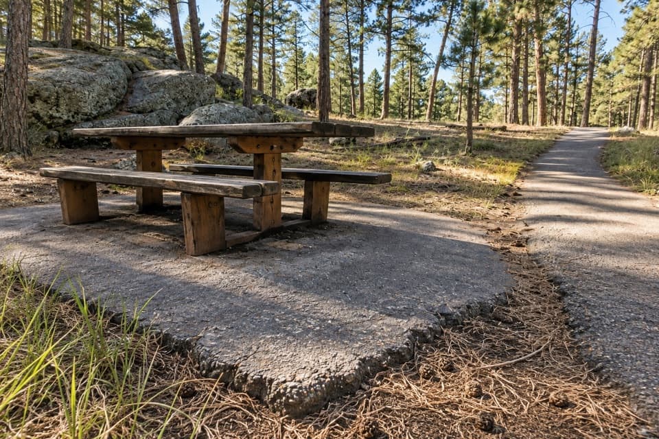
The picnic area is on Needles Highway between the Needles Eye and Center Lake. Visitors mention a few picnic tables and a restroom, but parking is limited, so treat it as a short stop. The highway closes to vehicles with the first snow and reopens April 1 or later, depending on conditions. When conditions allow, people can hike, bike, snowshoe or ski the road while cars are kept out.
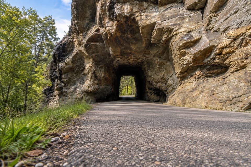
Look for the openingThe dark recess under the rock wall is the main subject.
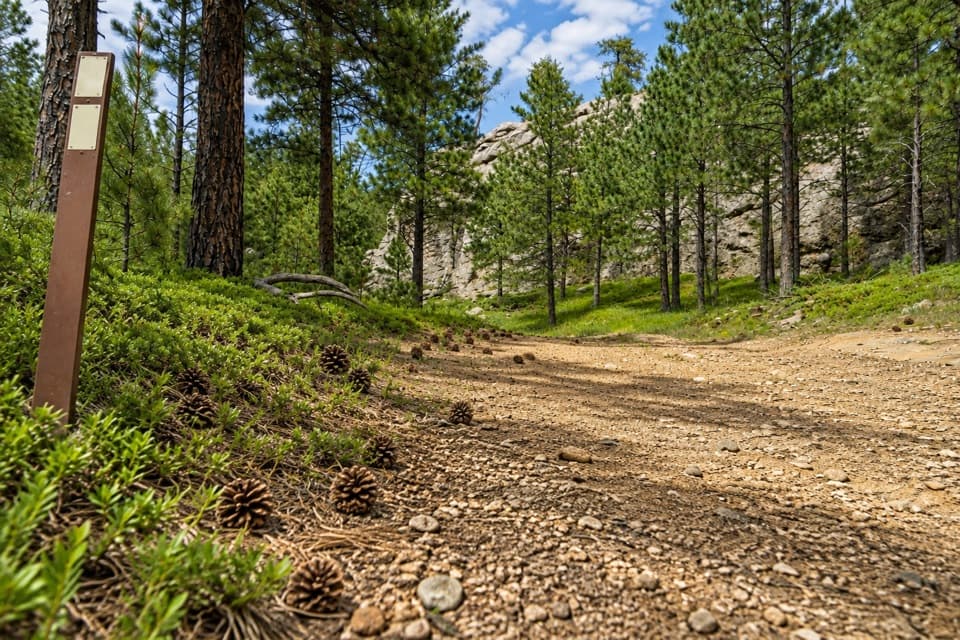
The dark recess under the rock wall is the main subject. For a useful photo, keep part of the footbridge and the trees in frame; they show how the opening sits within the picnic area. Visitor accounts differ on whether scrambling around the rocks adds much, so the opening itself is the reliable payoff.
A road with a storyNeedles Highway is a 14-mile drive that takes an hour or more, so give the route time before…
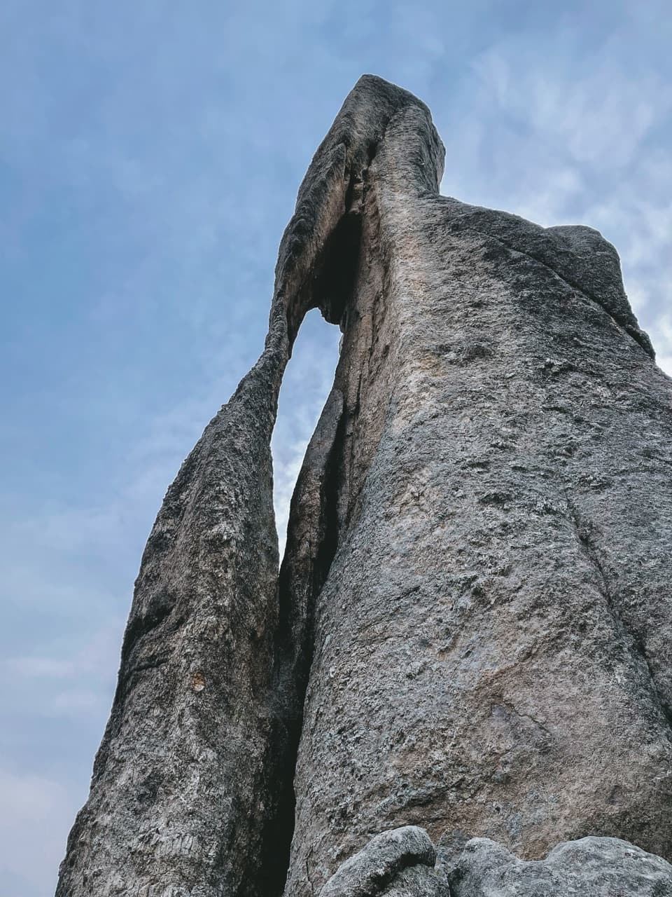
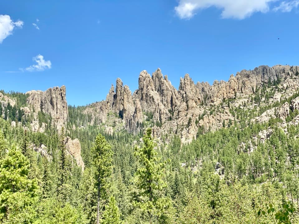
Needles Highway is a 14-mile drive that takes an hour or more, so give the route time before adding stops. Former governor Peter Norbeck marked its course on foot and horseback; construction was completed in 1922. The name comes from the needle-like granite formations along the road. Hole-In-Wall is a short pause on a drive whose wider scenery is the bigger event.
Wildlife
Wildlife in Custer
 993 sightingsBisonMost seen around 7 AMSighting map
 91 sightingsWapitiMost seen around 6 AMSighting map
 258 sightingsBighorn SheepMost seen around 7 AMSighting map
 85 sightingsMountain GoatMost seen around 7 AMSighting map
 256 sightingsBurroMost seen around 6 PMSighting map
 707 sightingsPronghornMost seen around 6 AMSighting map
Sighting maps show where each species has been reported across Custer. Wildlife moves, so no sighting is guaranteed.