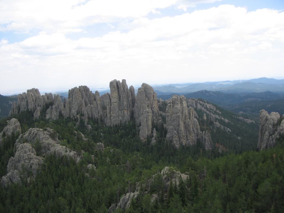
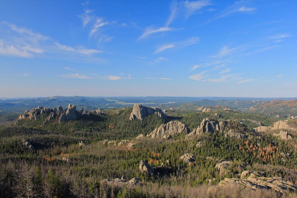
Centennial Trail #89 (Custer State Park Section) in Custer State Park

Custer State Park, SD

Centennial Trail #89 (Custer State Park Section)

Follow the park’s north–south trail from pine hills to bison grassland.

Length
22mi
Time
11hr
Elev. change
1,175ft
Difficulty
Challenging
  • Dogs allowed
  • High point 5,466 ft
  • #14 of 40 in Custer

Hear the audio tour

Iron Creek: The Centennial Trail Traverse

Overview

About Centennial Trail #89 (Custer State Park Section)

Why go

  • A true north–south traverse through several distinct landscapes.
  • Passes Badger Hole and the 1988 Galena Fire area.

Heads up

  • The full route is a long, vehicle-dependent day.
  • Steep, rocky and muddy terrain with repeated French Creek crossings.

Map & elevation

The route

Loading the Custer map
Full map
Elevation4,291–5,466 ft
TrailheadIron Creek Trailhead43.81844, -103.46630
Keep this map with you offline in the Parkwolf app

Plan your hike

Before you go

Parking

Start at Iron Creek Trailhead on Camp Remington Road (CSP 345), north of SD 87. Badger Hole and French Creek are intermediate access points. For the full point-to-point hike, arrange transportation between Iron Creek and Highland Creek before setting out; the official sources do not state parking capacity at the southern endpoint.

Safety

Custer State Park requires a vehicle entrance license. There is no dependable drinking water, and streams may dry by early summer. The French Creek stretch is steep and rocky, with repeated water crossings and mud near the bottom. Bison use the southern grassland; keep at least 100 yards away, especially during spring calving and the late-summer rut.

A park ranger sits on a dash-mounted phone, talking, as Parkwolf’s Tour Guide plays “Army Cutworm Moths: A Grizzly Bear Buffet” on Grand Loop Road below Dunraven Pass in Yellowstone
Parkwolf Tour GuideThe highest, rockiest slopes around here are a summer buffet for grizzly bears.

Custer Tour Guide

Your drive to Centennial Trail #89 (Custer State Park Section), narrated.

Parkwolf is a GPS audio tour guide for Custer State Park. As you drive, it chimes in with what’s ahead: hidden gems, upcoming stops, history, geology, and wildlife, right through your car’s speakers.

See the Custer audio tour

Recorded for this trailhead

Iron Creek: The Centennial Trail Traverse
0:00 / 0:29
“You're coming up on Iron Creek Trailhead, the northern access to the park's Centennial Trail.”

Plays as you drive up to this trailhead in the Parkwolf Custer Tour Guide.

More stories near here in the app

  • Hole-In-Wall: A Bridge and a Rock Opening
  • When Mud Became Schist
  • The Pine's Two Kinds of Cones
  • Ice in the Granite Cracks
  • 82 audio storiesacross Custer’s roads, triggered by GPS as you drive
  • Wildlife heatmapsfor Bison, Wapiti, Bighorn Sheep, and 13 more
  • Works offlinemaps, 40 trails, 49 places, and audio download before you lose signal
  • CarPlay readysimple controls built for the drive
★★★★★
“We recently toured Badlands, Custer State Park, Mount Rushmore and more! We learned so much from this app as we toured each of these sites. The audio tours are worth the money.”
milesdavis11App Store review
Download Parkwolf on the App StoreGet Parkwolf on Google Play

4.7 from 8,600+ ratings

Trail guide

Hiking Centennial Trail #89 (Custer State Park Section)

The full park traverseCentennial Trail 89 is Custer State Park’s north-to-south point-to-point route, about 22 miles…

Centennial Trail #89 is Custer State Park’s north-to-south point-to-point route, about 22 miles one way from Iron Creek to Highland Creek at the Wind Cave boundary. It crosses pine and granite country, passes Badger Hole and French Creek, then enters open grassland. This is a hard, full-day hike; arrange transportation between the two ends before setting out. The park publishes an approximate 22 miles, while the connected mapped line used here measures 20.4 miles. Treat both the distance and a 10–12-hour time estimate as approximate; no official time for the full section was found.

Iron Creek to Badger HoleThe north trailhead is on Camp Remington Road, north of SD 87.

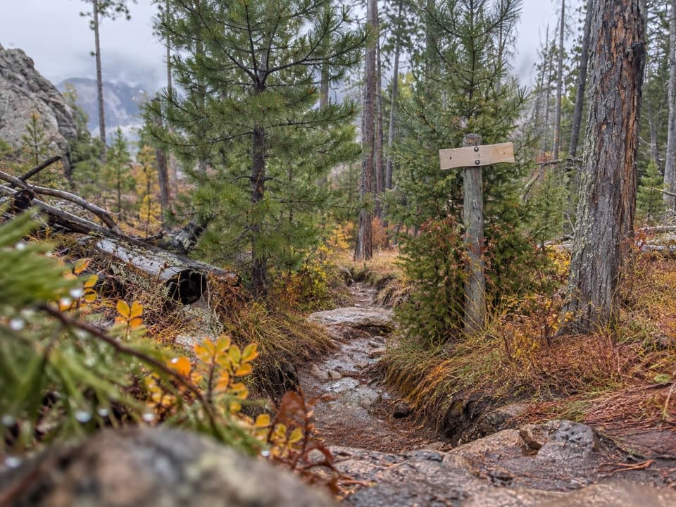
The north trailhead is on Camp Remington Road, north of SD 87. The trail crosses that highway, climbs a small hill, then rolls through several small stream crossings. Around six miles in, it crosses US 16A by Legion Lake Lodge and campground. South of the highway it crosses another stream and climbs into the area burned by the 1988 Galena Fire, continuing to Badger Hole. Brown fiberglass posts and gray diamond markers identify the shared route, used by hikers, horseback riders and mountain bikers.

The hardest stretchBadger Hole was the home of South Dakota’s first Poet Laureate, Badger Clark, and the…

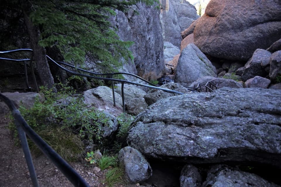
Badger Hole was the home of South Dakota’s first Poet Laureate, Badger Clark, and the surrounding woods hold traces of historic logging. Southbound, the trail drops over a rocky slope into Heddy Draw, crosses it and climbs the divide before descending toward French Creek Natural Area. The descent is steep and rocky, with mud near the bottom. At the creek, expect several crossings before reaching French Creek Trailhead. The park describes this as the most strenuous part of the Centennial Trail in Custer State Park.

French Creek to the southern boundaryFrom French Creek Trailhead, markers lead west through Horse Camp and across French Creek.

From French Creek Trailhead, markers lead west through Horse Camp and across French Creek. Before a second crossing, the route turns uphill, then descends and crosses Wildlife Loop Road. The terrain opens into grassland before the self-closing gate at the Wind Cave boundary and Highland Creek Trailhead. Close the gate behind you. Bison use this grassland; they are dangerous year-round, especially during spring calving and the late-summer rut. Give them at least 100 yards.

A longer trail’s centennial storyThe 111-mile Centennial Trail runs from Bear Butte State Park to Wind Cave National Park and…

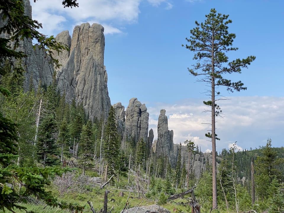
The 111-mile Centennial Trail runs from Bear Butte State Park to Wind Cave National Park and commemorates South Dakota’s 1889 statehood centennial. Its Custer section links several different landscapes rather than repeating one forest walk: pine hills and granite, the Galena Fire area, a historic cabin, creek-bottom terrain and open southern grassland. The park’s trail map also marks intermediate access at Badger Hole and French Creek, which can help plan a shorter segment instead of the full traverse.

Water, food and trail rulesThere is no dependable drinking-water supply along this section.

There is no dependable drinking-water supply along this section. Streams may dry by early summer; treat any water collected from them. Food is not readily available along the trail. The route crosses US 16A near Legion Lake Lodge and campground, but confirm services before relying on them. Custer State Park requires a vehicle entrance license; no separate hiking or biking permit is required. Pets are allowed on a leash no longer than 10 feet.

Wildlife

Wildlife in Custer

All Custer wildlife maps

Sighting maps show where each species has been reported across Custer. Wildlife moves, so no sighting is guaranteed.

Keep exploring

Near Centennial Trail #89 (Custer State Park Section)

See it all on the map

Trails that start nearby

Places near the trailhead

Parkwolf’s Custer ranking

Top-rated trails in Custer

All 40 trails
  1. 1Black Elk Peak Trail #9 SouthChallenging · 6.6 mi
  2. 2Cathedral Spires TrailChallenging · 1.2 mi
  3. 3Sunday Gulch TrailChallenging · 3 mi
  4. 4Little Devils Tower TrailChallenging · 3 mi
  5. 5Sylvan Lake Shore TrailModerate · 1 mi
  6. 6Black Elk Peak LoopChallenging · 7.1 mi

Take Parkwolf to Custer.

The audio tour guide for the drive, plus offline maps, trails, and wildlife heatmaps for when the signal drops.

4.7 from 8,600+ ratings

Download Parkwolf on the App StoreGet Parkwolf on Google Play