Parking
Park at Grizzly Bear Creek Trailhead on Forest Road 345, just east of Iron Creek Horse Camp; reach it from SD 87 / Needles Highway. The access is on Forest Service land just beyond the Custer State Park boundary.

Custer State Park, SD
A remote creek trail with beaver ponds and a steep upper climb.
Overview
Map & elevation
Plan your hike

The highest, rockiest slopes around here are a summer buffet for grizzly bears.
Custer Tour Guide
Parkwolf is a GPS audio tour guide for Custer State Park. As you drive, it chimes in with what’s ahead: hidden gems, upcoming stops, history, geology, and wildlife, right through your car’s speakers.
Recorded for this area
Iron Creek: The Centennial Trail Traverse“You're coming up on Iron Creek Trailhead, the northern access to the park's Centennial Trail.”
Plays on the road 1.2 mi from the trailhead in the Parkwolf Custer Tour Guide.
More stories near here in the app
“We recently toured Badlands, Custer State Park, Mount Rushmore and more! We learned so much from this app as we toured each of these sites. The audio tours are worth the money.”


Trail guide
Grizzly Bear Creek Trail #7 is a remote out-and-back through the Black Elk Wilderness, following a creek corridor from Camp Remington Road into forest and granite country. The trail-system map lists 6.3 miles one way, so retracing it makes about 12.6 miles total. Allow roughly 7 to 8 hours. The lower stretch rolls more gently; the upper miles climb sharply, with about 1,500 feet of gain.
The creek stays near the route for much of the walk. Old-growth forest and beaver ponds fill out the lower section, and wet ground and water crossings are part of the experience. Creek levels and stepping spots change, so don't assume a crossing will be dry or easy. Higher up, the trail reaches granite formations with views of Black Elk Peak.
The named #7 corridor reaches an upper junction in the wider trail network. A map shows a connection with Norbeck #3, while a local route description names a nearby continuation toward Trail #4. This entry maps Trail #7 out and back; check a current wilderness map before making a longer link, and don't treat the #7 line as a loop.
Start at Grizzly Bear Creek Trailhead on Forest Road 345, just east of Iron Creek Horse Camp. The route is on Forest Service land beyond Custer State Park's boundary, but it links into the Iron Creek/Norbeck network. Dogs are allowed if leashed or under strict voice control. A local route description mentions entry registration; current Forest Service instructions we checked didn't confirm a registration rule, so check posted notices at the wilderness entrance.
Wildlife
 993 sightingsBisonMost seen around 7 AMSighting map
 91 sightingsWapitiMost seen around 6 AMSighting map
 258 sightingsBighorn SheepMost seen around 7 AMSighting map
 85 sightingsMountain GoatMost seen around 7 AMSighting map
 256 sightingsBurroMost seen around 6 PMSighting map
 707 sightingsPronghornMost seen around 6 AMSighting map
Sighting maps show where each species has been reported across Custer. Wildlife moves, so no sighting is guaranteed.
Keep exploring
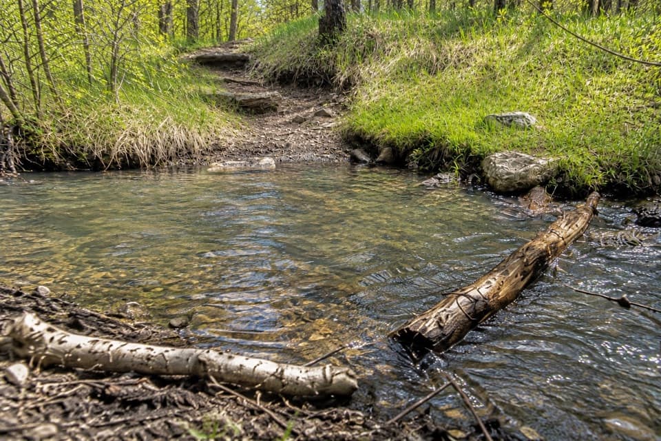 ChallengingGrizzly Bear Creek Trail #7 and Norbeck Trail #3 Loop12.9 mi · 8.5 hr · At the trailheadA rugged 12.9-mile loop links beaver ponds and granite on two trails.
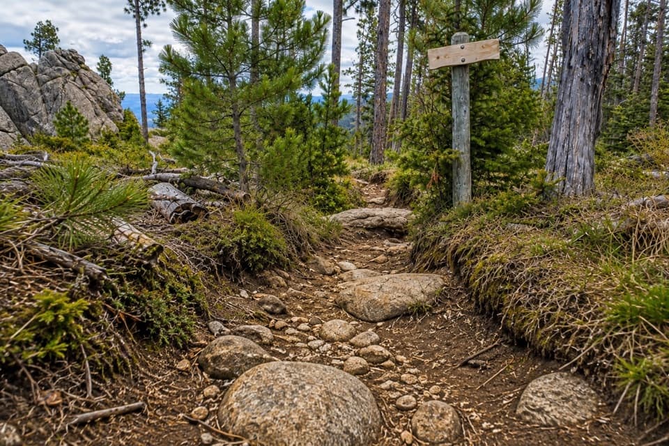 ChallengingNorbeck Trail #312.6 mi · 7.5 hr · 1 mi awayCreekside miles turn into a steep, rocky wilderness climb.
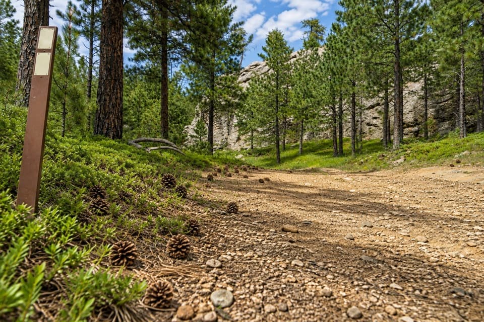 ChallengingCentennial Trail #89 (Custer State Park Section)22 mi · 11 hr · 1.2 mi awayFollow the park’s north–south trail from pine hills to bison grassland.
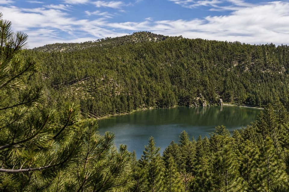 ModerateLost Trails: Upper Loop and Overlook1 mi · 45 min · 2.8 mi awayA short, steep loop climbs old stone paths to a lake overlook.
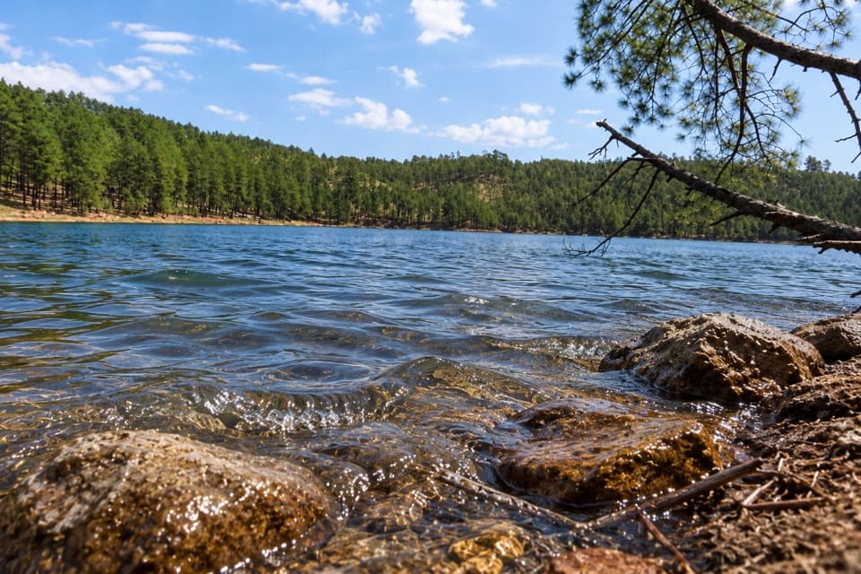 ModerateLost Trails: Lower Loop1.5 mi · 1 hr · 2.8 mi awayA rocky lake loop with waterfall views and CCC stonework
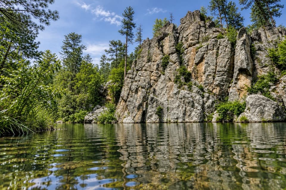 ModerateGrace Coolidge Trail4.6 mi · 3 hr · 2.8 mi awayA nearly level creek walk past trout pools and repeated crossings.
 ChallengingCathedral Spires Trail1.2 mi · 1.5 hr · 4 mi awayWalk into a granite basin after a short, steep climb.
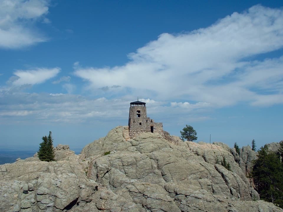 ModerateBlack Elk Peak via Horsethief Lake13 mi · 8 hr · 4.2 mi awayA long climb to the Black Hills’ stone summit lookout.
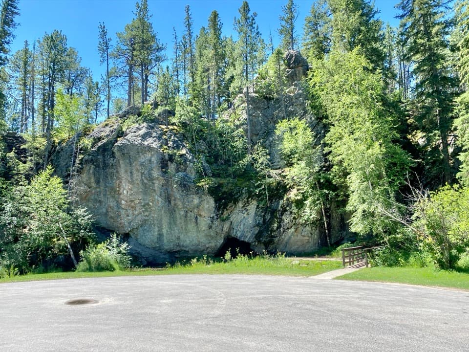 Picnic area · 1.6 mi awayHole-In-Wall Picnic AreaA curious cave and footbridge stop along Needles Highway.
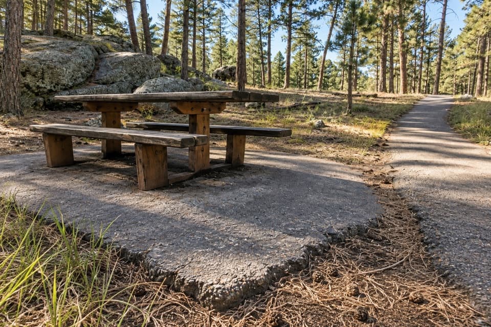 Picnic area · 1.7 mi awayIron Mountain Picnic AreaPicnic among granite boulders, with Mount Rushmore visible from the rocks.
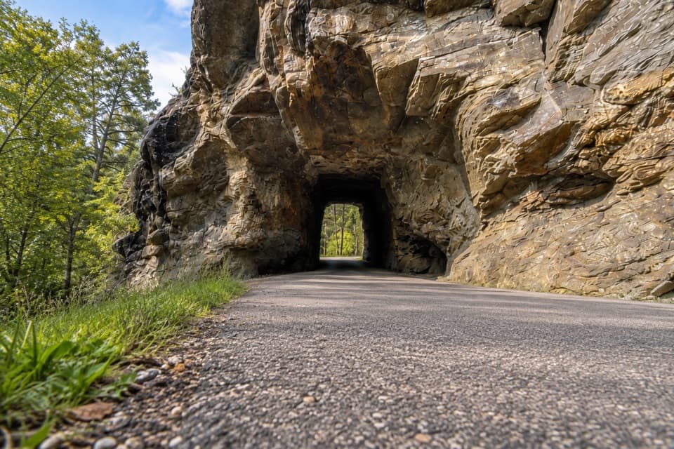 Sight · 2 mi awayIron Creek TunnelThread a one-lane passage beneath a massive granite outcrop.
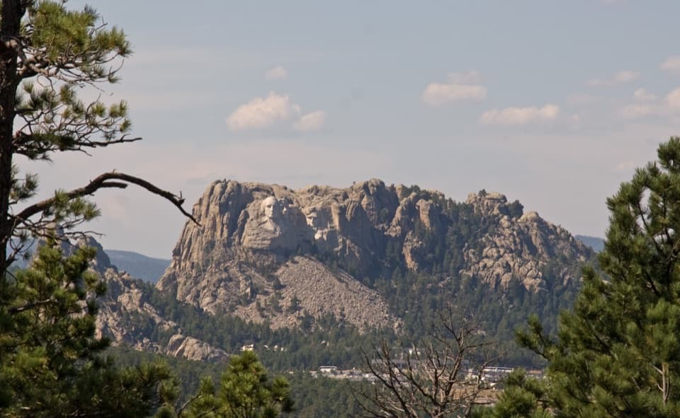 Scenic pullout · 2 mi awayNorbeck OverlookA quick roadside look at Rushmore along a winding scenic drive.
 Sight · 2.3 mi awayBlack Hills PlayhouseA 345-seat summer theatre with a tradition stretching back to 1946.
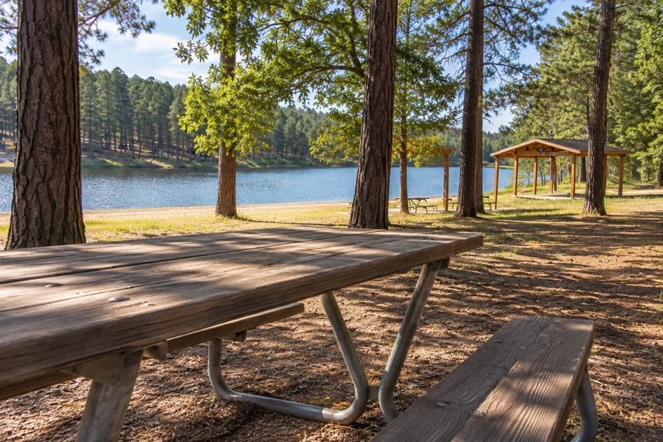 Campground · 2.6 mi awayCenter Lake CampgroundPonderosa shade beside the lake for swimming and fishing.
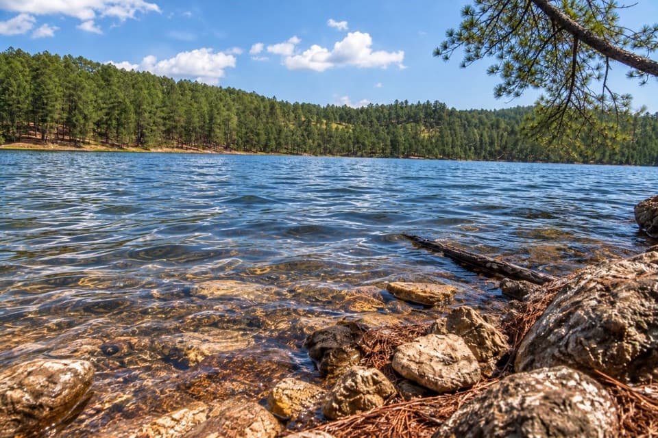 Sight · 2.8 mi awayCenter LakeSwim, fish or take the upper loop for a lake overlook.
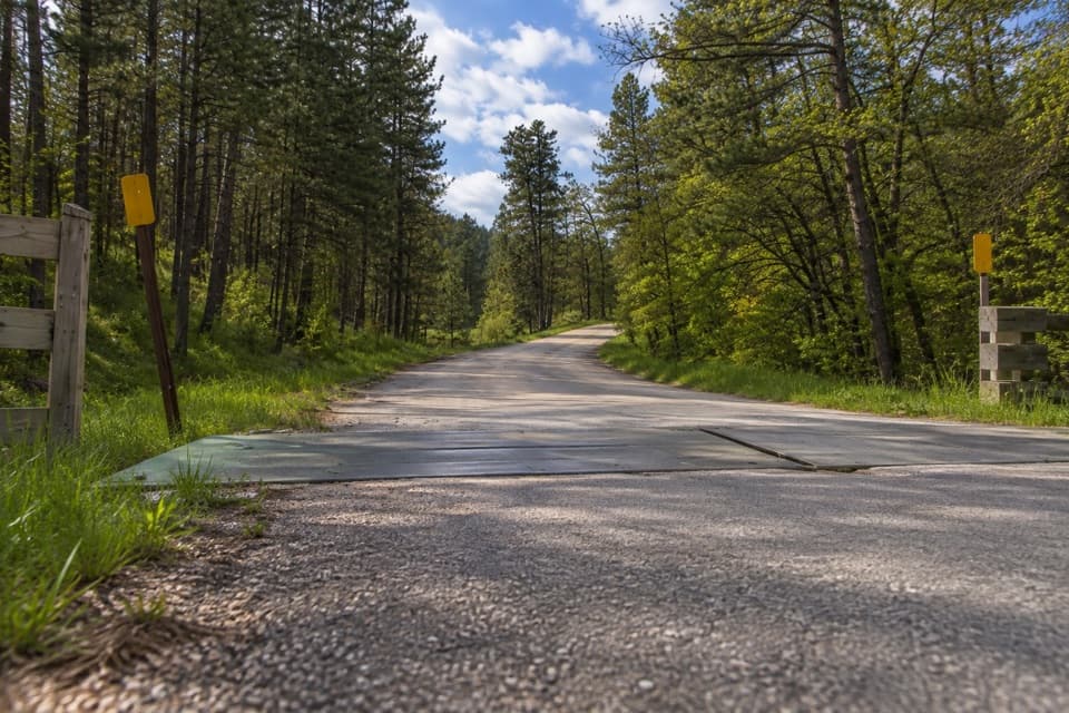 Entrance station · 2.9 mi awayPlayhouse Entrance StationA simple entry for the Black Hills Playhouse and north park roads.
Parkwolf’s Custer ranking

The audio tour guide for the drive, plus offline maps, trails, and wildlife heatmaps for when the signal drops.




