Parking
Use the marked Center Lake access for the north trailhead. The other end has a trailhead and parking near Grace Coolidge Campground off US 16A. If you do not arrange a pickup, walk one way and retrace the creek corridor.
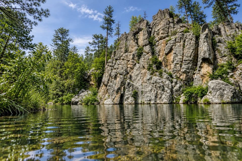
#10 of 40 trails in Custer
Custer State Park, SD
A nearly level creek walk past trout pools and repeated crossings.
Overview
Map & elevation
Plan your hike

The highest, rockiest slopes around here are a summer buffet for grizzly bears.
Custer Tour Guide
Parkwolf is a GPS audio tour guide for Custer State Park. As you drive, it chimes in with what’s ahead: hidden gems, upcoming stops, history, geology, and wildlife, right through your car’s speakers.
Recorded for this trailhead
Center Lake: A Lake Day and Lost Stone Paths“You're nearing Center Lake, a good place to spend an afternoon swimming or fishing beside the pines. Boats run at no-wake speed, and the swimming beach has no lifeguard.”
Plays as you drive up to this trailhead in the Parkwolf Custer Tour Guide.
More stories near here in the app
“We recently toured Badlands, Custer State Park, Mount Rushmore and more! We learned so much from this app as we toured each of these sites. The audio tours are worth the money.”


Trail guide
The unpaved Grace Coolidge Trail follows Grace Coolidge Creek between Center Lake and the access by US 16A. It is a 4.6-mile out-and-back, using the detailed trail panel's 2.3-mile one-way distance; allow about 2–4 hours. The grade is nearly level and the park rates it easy to moderate, though repeated creek crossings make it more than a dry stroll. Other park and visitor materials give longer figures, up to 3 miles each way, so confirm which access and turnaround your map describes.
The route crosses the creek several times, and the park warns that water can splash your boots. One reported walk found plank bridges at many crossings, but don't count on staying dry. Six low-head dams create deep, cool pools that support brook, brown and rainbow trout. This is the walk-in fishing corridor, distinct from the paved Creekside Trail along the same creek.
The creek takes its name from First Lady Grace Coolidge. During the Coolidges' 1927 stay at the State Game Lodge, she was known for hiking these hills while Calvin fished and worked. The dams were built to keep pools deep and cool through hot summer months, giving the valley its fishing character as well as its repeated crossings.
Use the marked Center Lake access at the north end; the other trailhead and parking are by Grace Coolidge Campground near US 16A. Unless you arrange a pickup, turn around at the far end and follow the same creek corridor back. For a paved, wheelchair- and stroller-accessible creek walk, the separate Creekside Trail is 2.4 miles one way. Bikes are also allowed on this route; horses are prohibited in the watershed.
Dogs are allowed on a leash no longer than 10 feet, but not on designated swim beaches or in park buildings. Bison and elk are wild; keep at least 100 yards away and give them room to move.
Wildlife
 993 sightingsBisonMost seen around 7 AMSighting map
 91 sightingsWapitiMost seen around 6 AMSighting map
 258 sightingsBighorn SheepMost seen around 7 AMSighting map
 85 sightingsMountain GoatMost seen around 7 AMSighting map
 256 sightingsBurroMost seen around 6 PMSighting map
 707 sightingsPronghornMost seen around 6 AMSighting map
Sighting maps show where each species has been reported across Custer. Wildlife moves, so no sighting is guaranteed.
Keep exploring
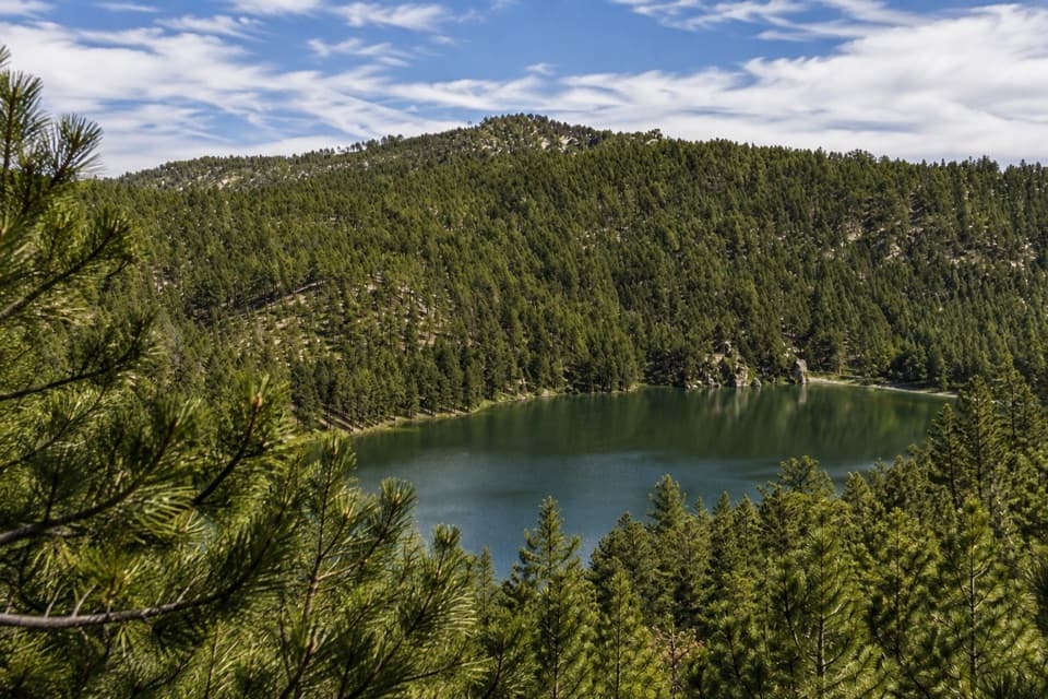 ModerateLost Trails: Upper Loop and Overlook1 mi · 45 min · At the trailheadA short, steep loop climbs old stone paths to a lake overlook.
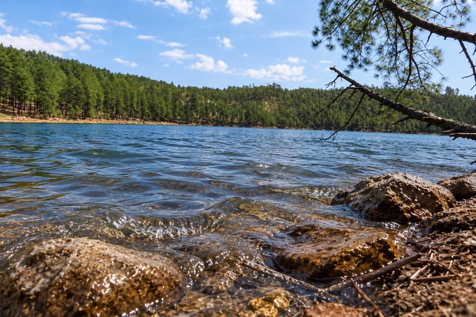 ModerateLost Trails: Lower Loop1.5 mi · 1 hr · At the trailheadA rocky lake loop with waterfall views and CCC stonework
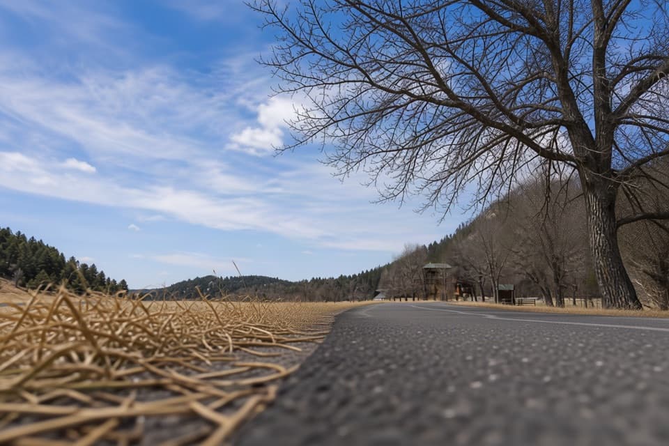 EasyCreekside Trail2 mi · 1.5 hr · 2.1 mi awayA paved creekside stroll with bridges and easy campground access.
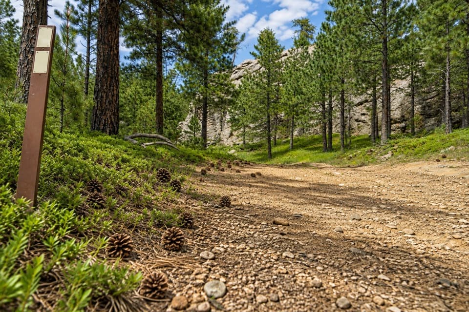 ChallengingCentennial Trail #89 (Custer State Park Section)22 mi · 11 hr · 2.5 mi awayFollow the park’s north–south trail from pine hills to bison grassland.
 ChallengingGrizzly Bear Creek Trail #712.6 mi · 7.5 hr · 2.8 mi awayA remote creek trail with beaver ponds and a steep upper climb.
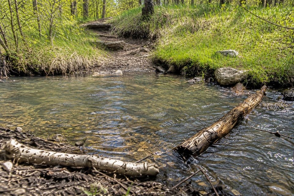 ChallengingGrizzly Bear Creek Trail #7 and Norbeck Trail #3 Loop12.9 mi · 8.5 hr · 2.8 mi awayA rugged 12.9-mile loop links beaver ponds and granite on two trails.
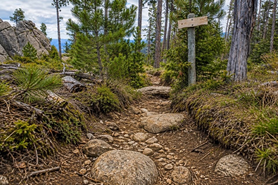 ChallengingNorbeck Trail #312.6 mi · 7.5 hr · 3.1 mi awayCreekside miles turn into a steep, rocky wilderness climb.
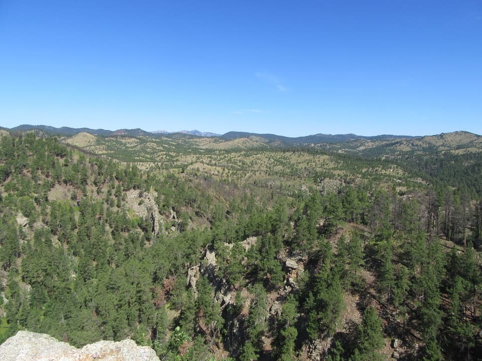 ModerateLovers Leap Trail4 mi · 3 hr · 3.3 mi awayA steep ridge, a rocky perch, then Galena Creek crossings.
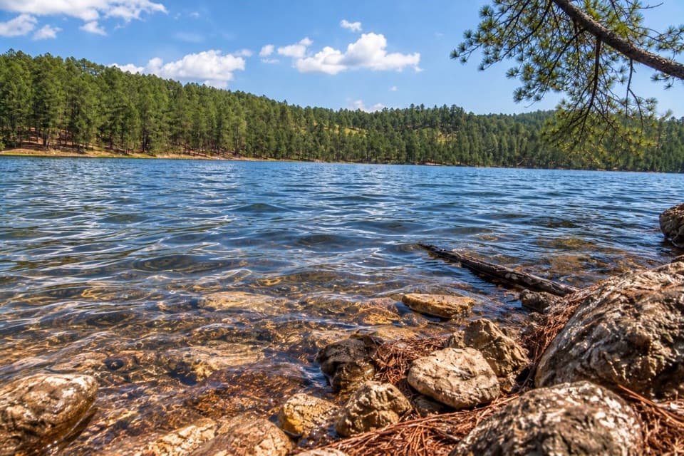 Sight · 0.1 mi awayCenter LakeSwim, fish or take the upper loop for a lake overlook.
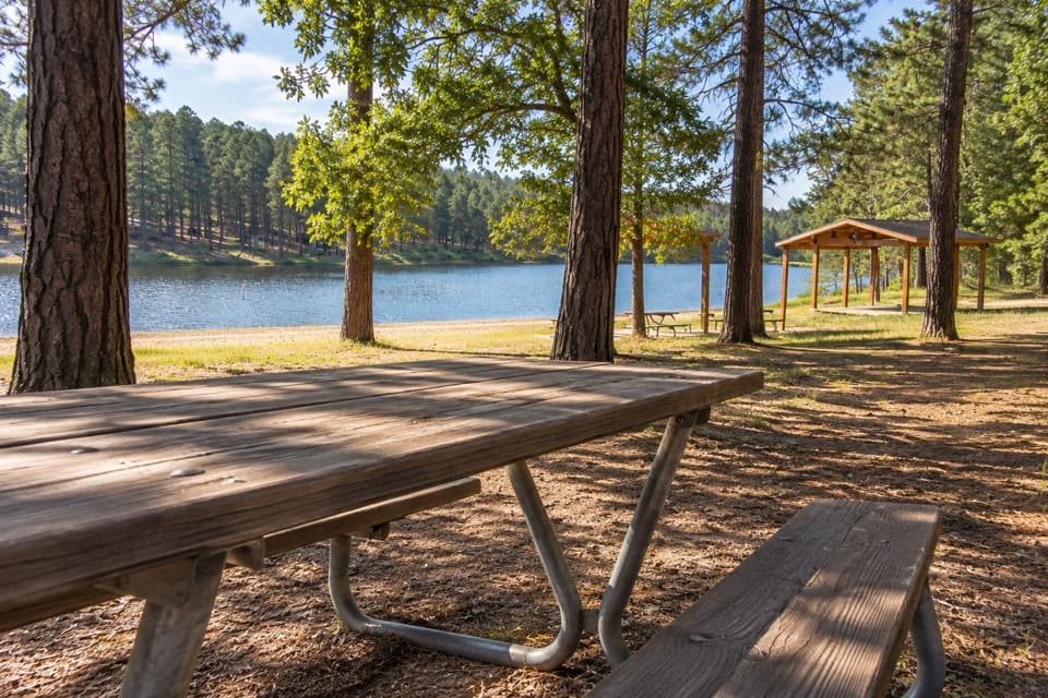 Campground · 0.2 mi awayCenter Lake CampgroundPonderosa shade beside the lake for swimming and fishing.
 Sight · 0.5 mi awayBlack Hills PlayhouseA 345-seat summer theatre with a tradition stretching back to 1946.
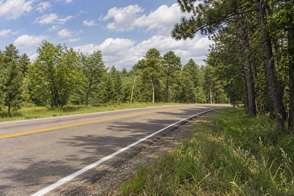 Campground · 1.8 mi awayShady Rest Non-Profit Youth Camp AreaPrimitive tent camping reserved for organized nonprofit youth groups.
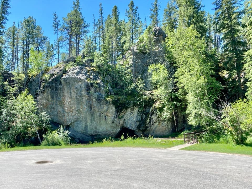 Picnic area · 1.8 mi awayHole-In-Wall Picnic AreaA curious cave and footbridge stop along Needles Highway.
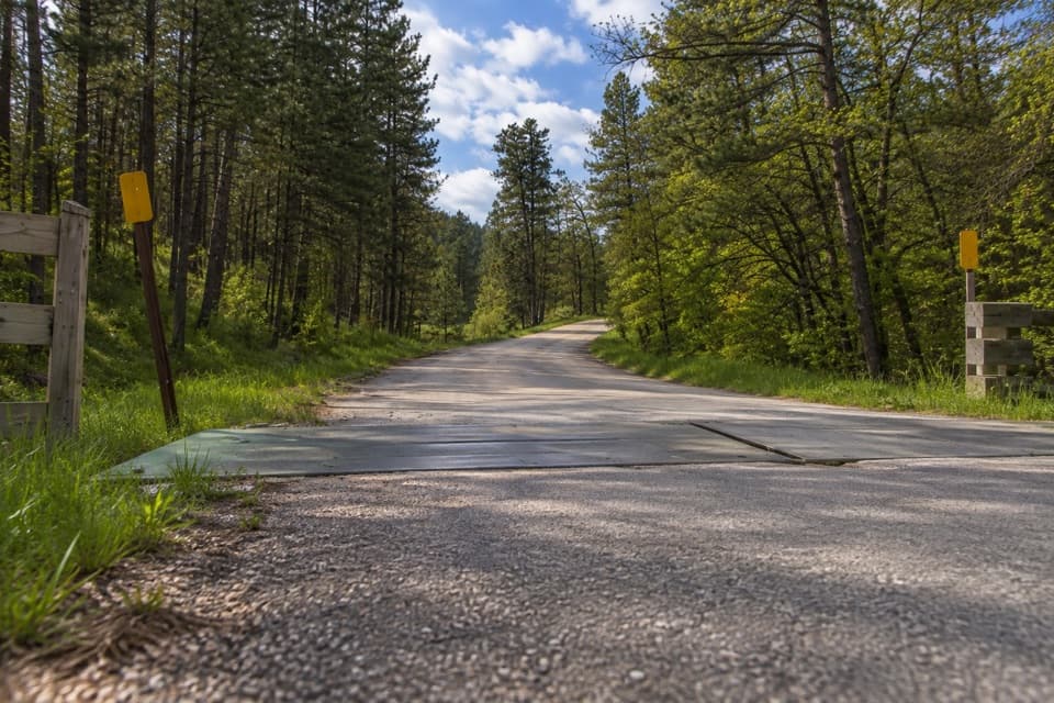 Entrance station · 1.8 mi awayPlayhouse Entrance StationA simple entry for the Black Hills Playhouse and north park roads.
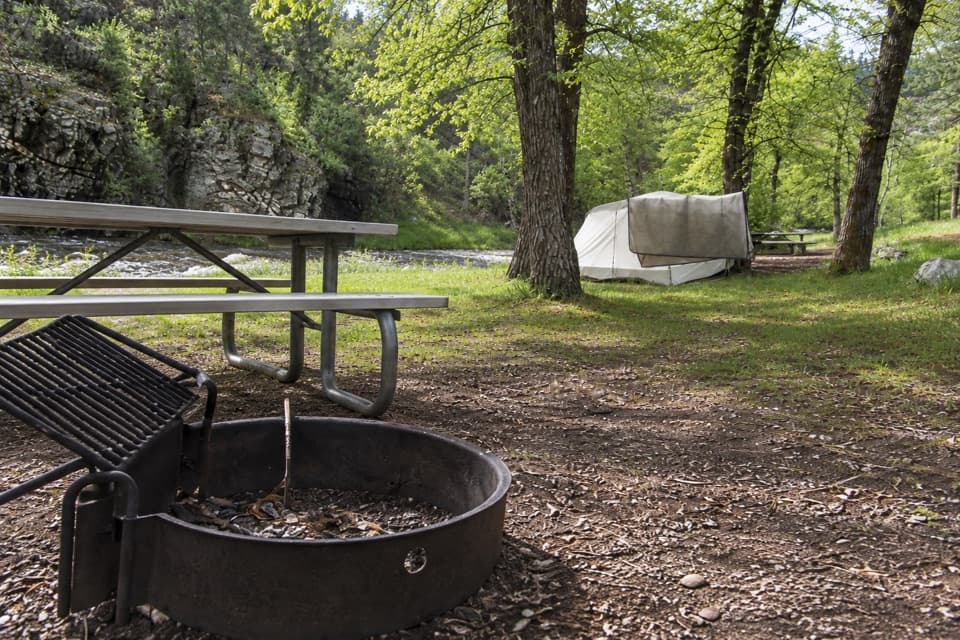 Campground · 2.1 mi awayGrace Coolidge CampgroundCreekside camping with tent-only sites across US 16A.
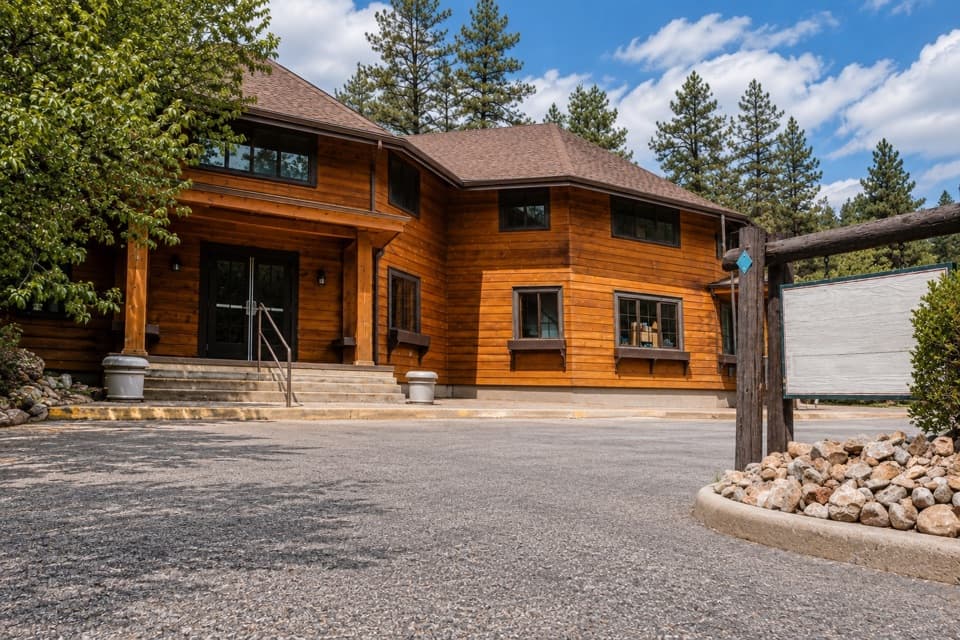 Store · 3 mi awayCoolidge General StoreA former Coolidge staff house with pizza, malts, and useful supplies.
Parkwolf’s Custer ranking

The audio tour guide for the drive, plus offline maps, trails, and wildlife heatmaps for when the signal drops.





