Overview
About Iron Mountain Picnic Area
Why stop
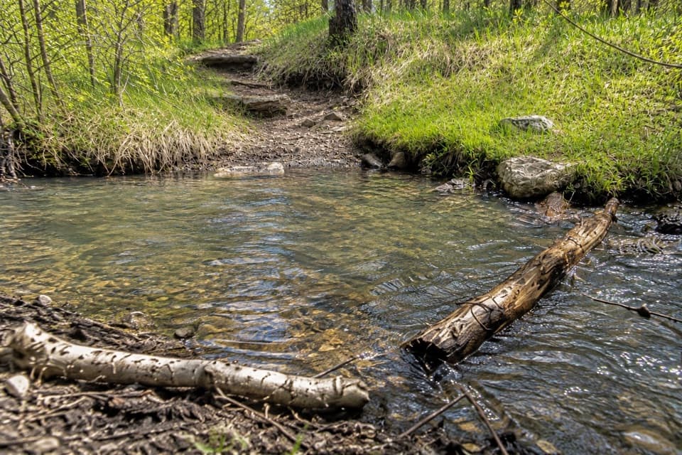
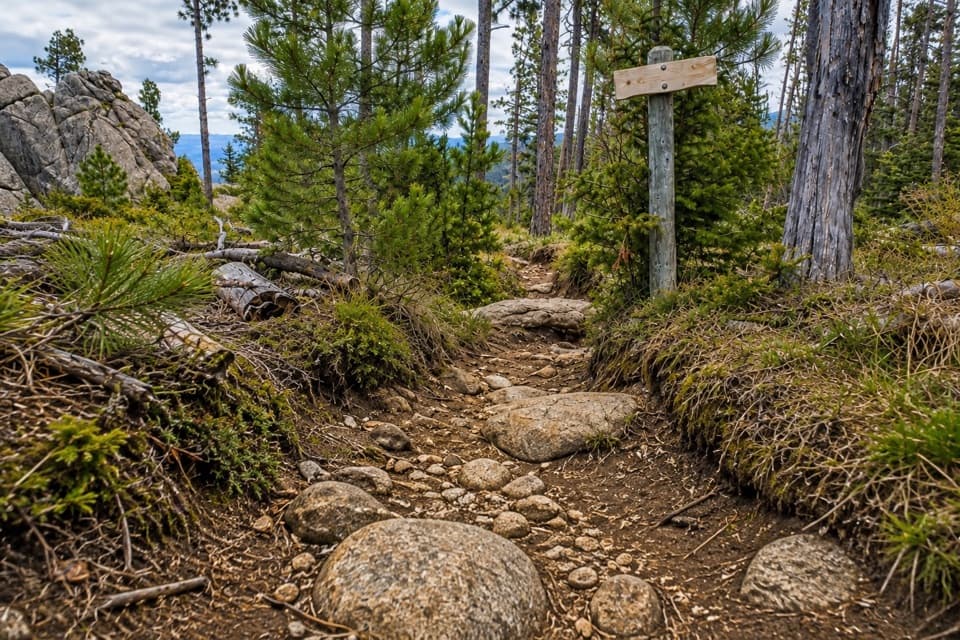
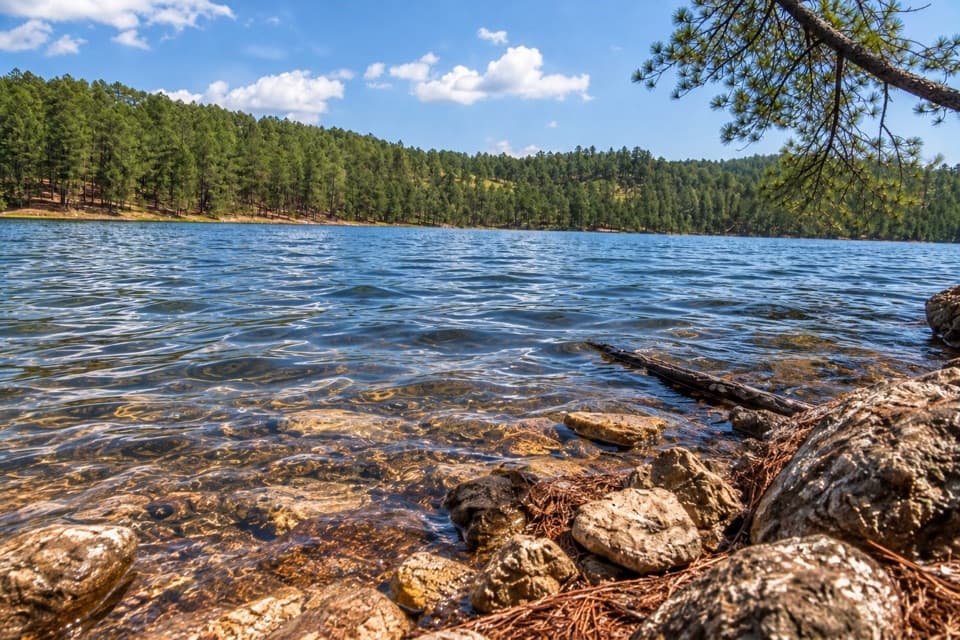
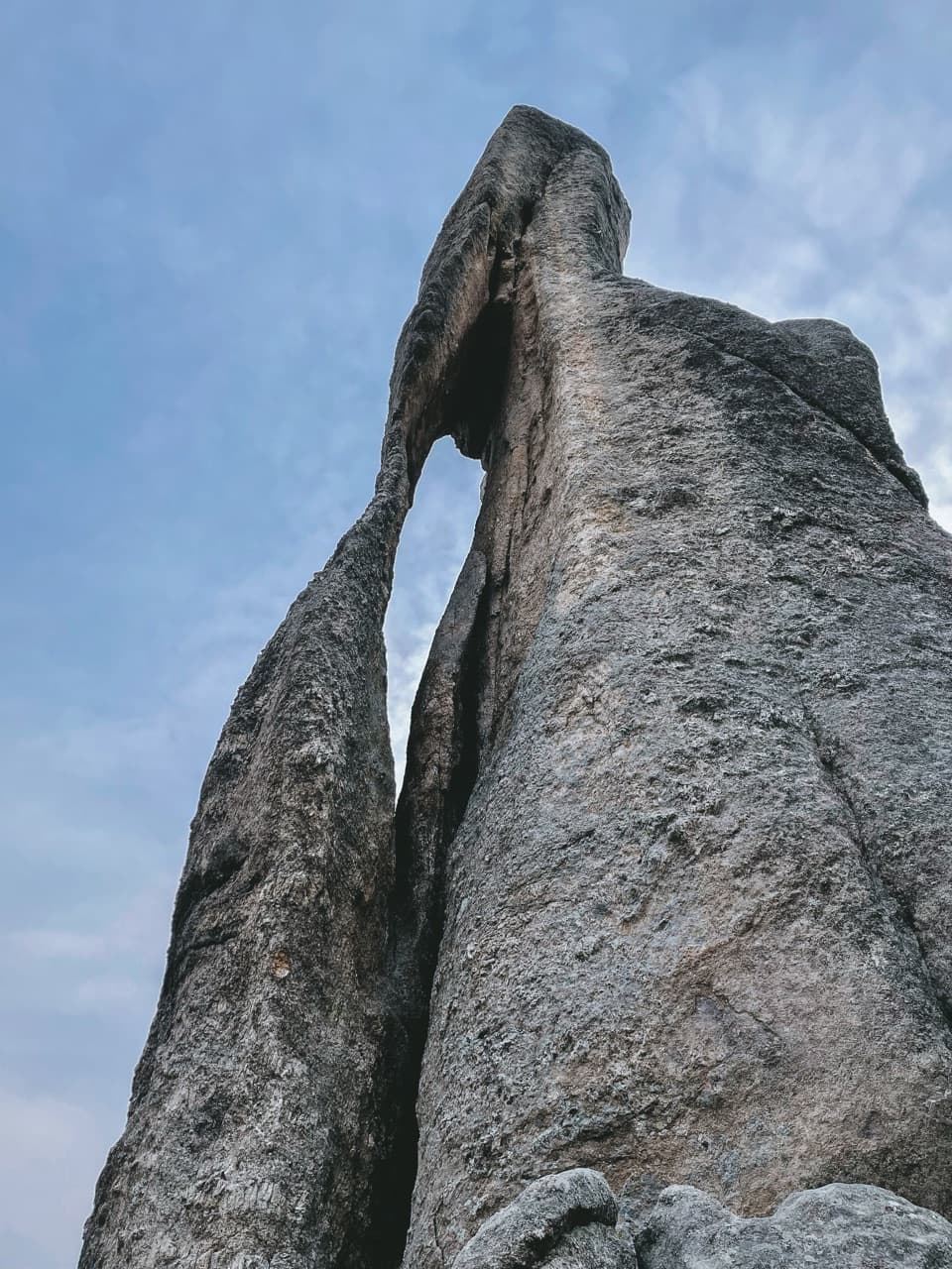
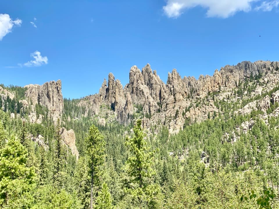
- Centennial Trail access and a scenic setting among granite and pines.
Heads up
- No potable water; restroom availability is uncertain.
Map
Where it is

The highest, rockiest slopes around here are a summer buffet for grizzly bears.
Custer Tour Guide
Your drive to Iron Mountain Picnic Area, narrated.
Parkwolf is a GPS audio tour guide for Custer State Park. As you drive, it chimes in with what’s ahead: hidden gems, upcoming stops, history, geology, and wildlife, right through your car’s speakers.
More stories near here in the app
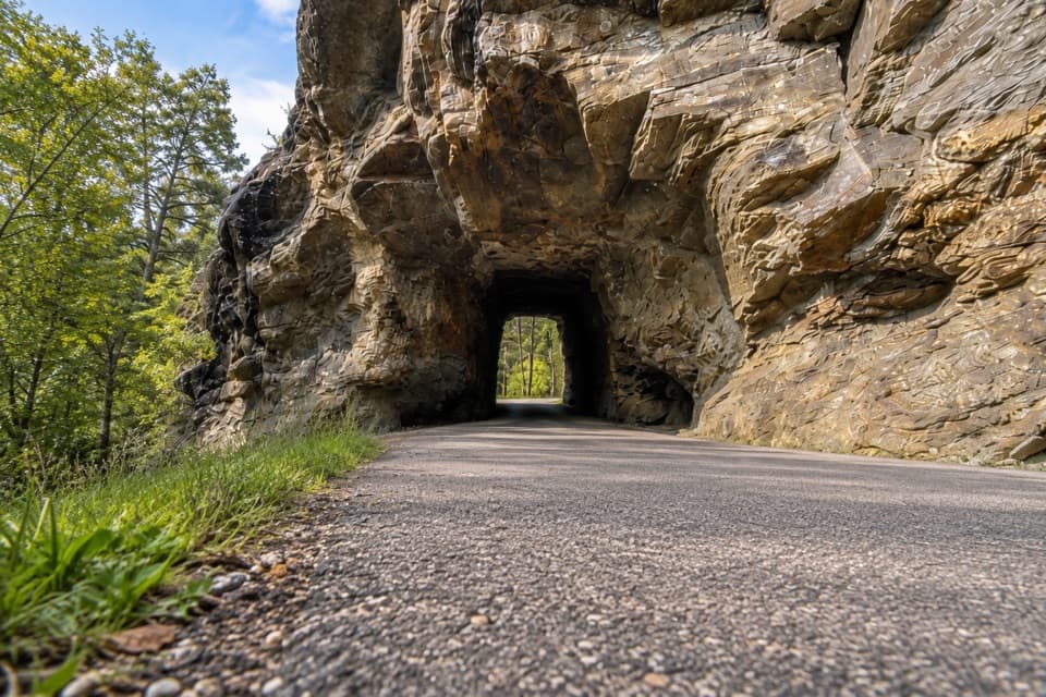
- The Tunnels Beneath Pine Bark
- The Living Crust on a Rock
- Iron Creek: The Centennial Trail Traverse
- Hole-In-Wall: A Bridge and a Rock Opening
- 82 audio storiesacross Custer’s roads, triggered by GPS as you drive
- Wildlife heatmapsfor Bison, Wapiti, Bighorn Sheep, and 13 more
- Works offlinemaps, 40 trails, 49 places, and audio download before you lose signal
- CarPlay readysimple controls built for the drive
“We recently toured Badlands, Custer State Park, Mount Rushmore and more! We learned so much from this app as we toured each of these sites. The audio tours are worth the money.”


Guide
More about Iron Mountain Picnic Area
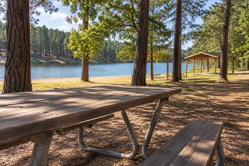
A picnic stop between Custer and RushmoreIron Mountain Picnic Area is a ten-site picnic ground in Black Hills National Forest, just off…
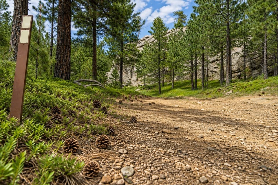
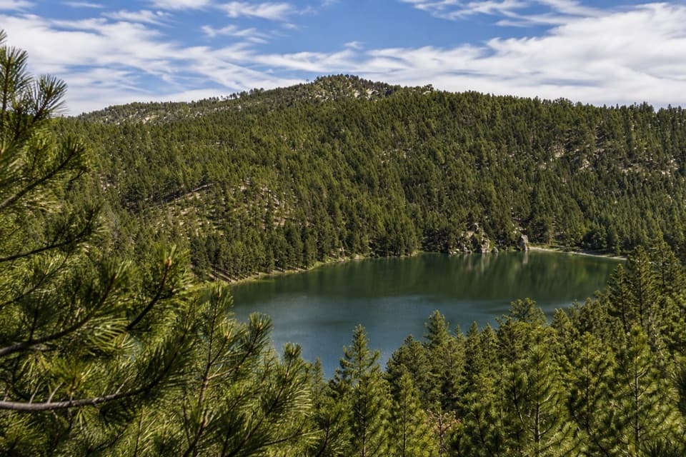
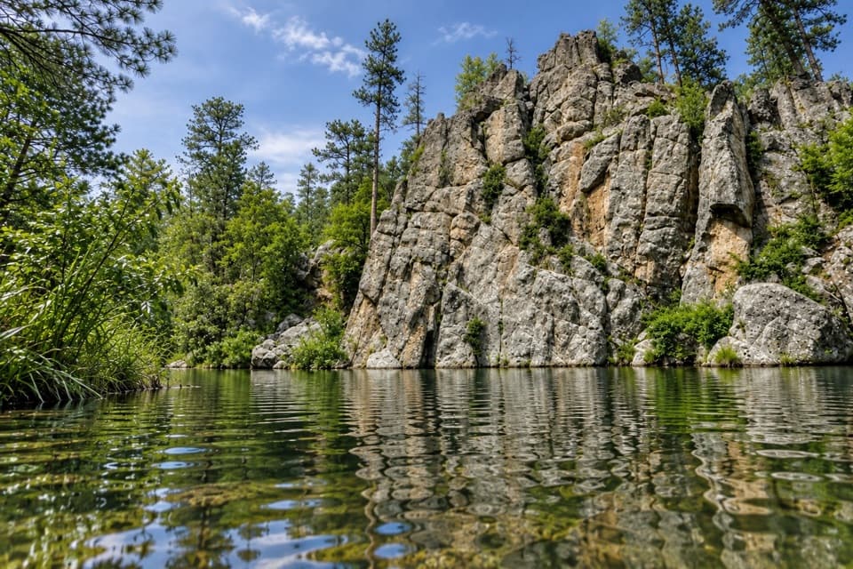
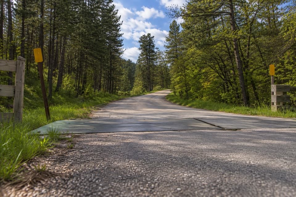
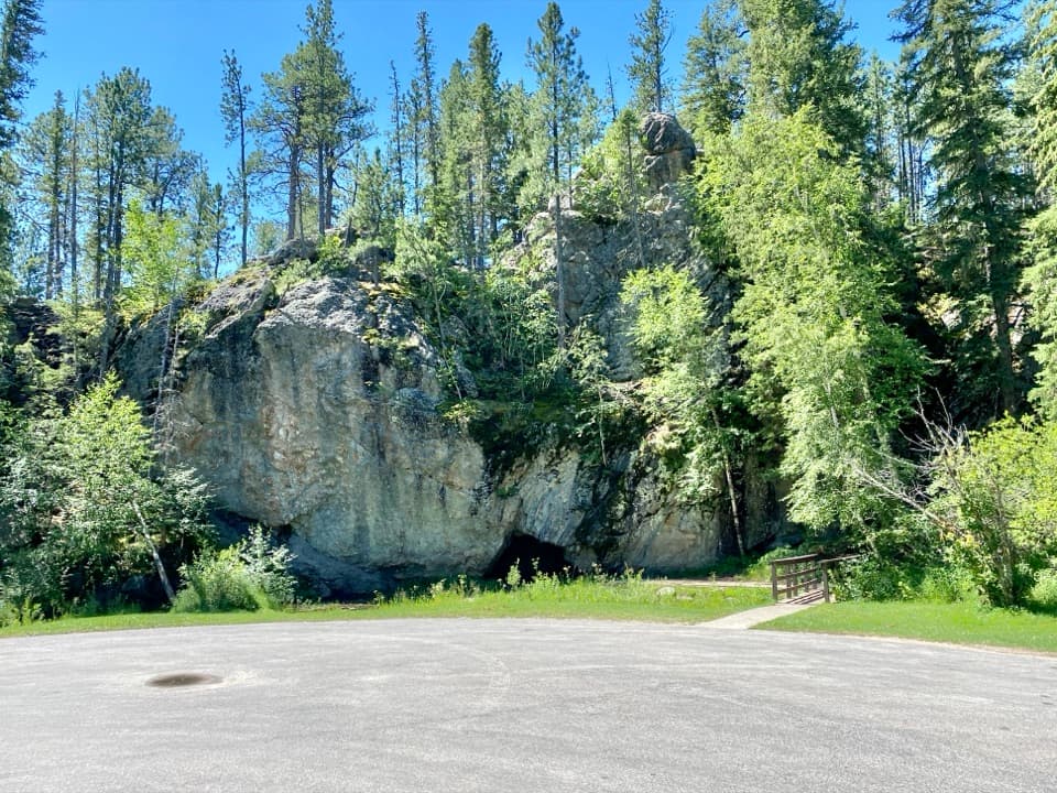
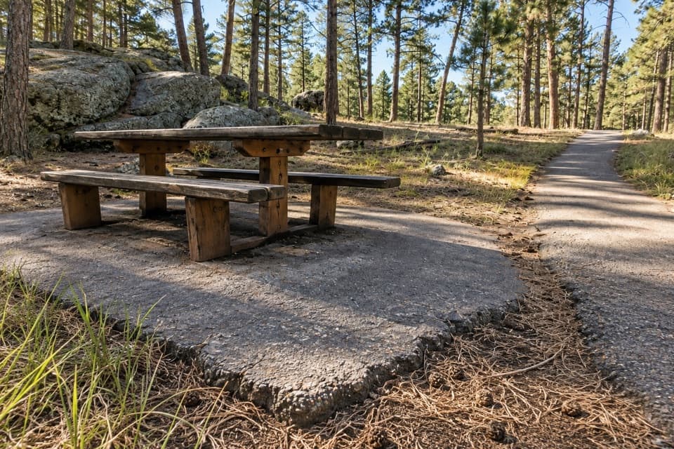
Iron Mountain Picnic Area is a ten-site picnic ground in Black Hills National Forest, just off US 16A on the road between Custer State Park and Mount Rushmore. It makes a useful lunch break or leg-stretch on the scenic drive, with tables set among pines and granite outcrops. The area also gives access to Centennial Trail (Trail 89).
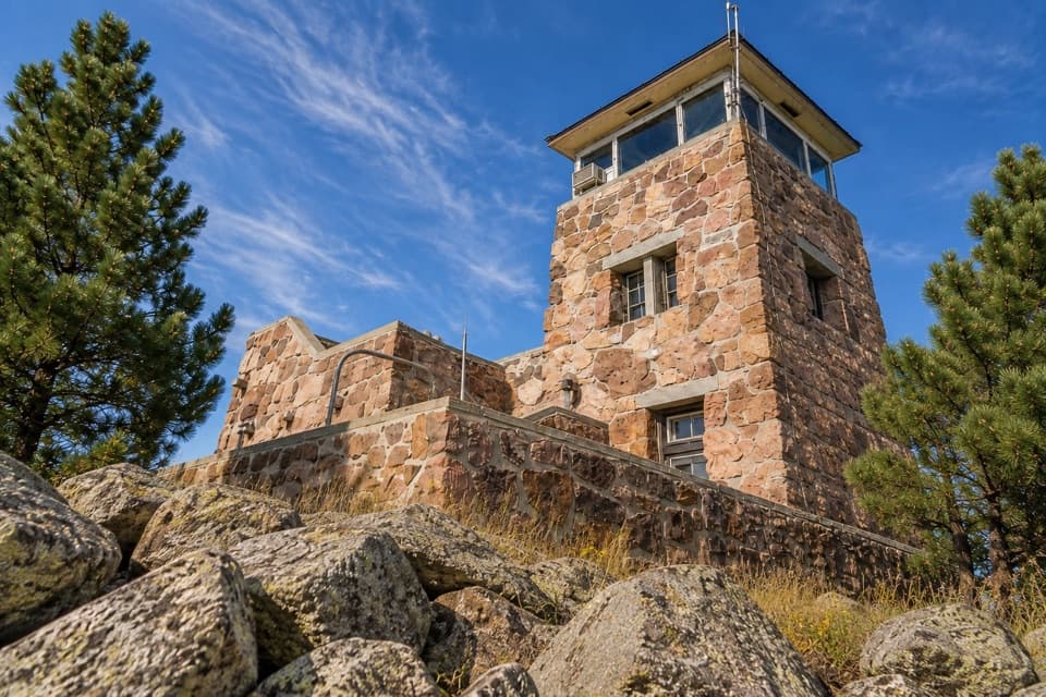
Go up to the rocksWalk beyond the tables to the higher rocks for broader Black Hills views; visitors report…
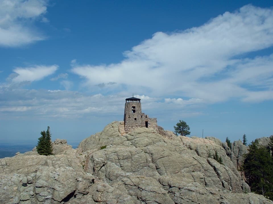
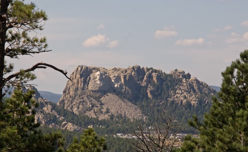
Walk beyond the tables to the higher rocks for broader Black Hills views; visitors report seeing Mount Rushmore from the top. Some tables are a little way from the parking area, so plan to carry your meal in rather than count on setting up beside the car.
What to plan forThere is no potable water. Restroom availability is uncertain, so make a plan before you arrive.
There is no potable water. Restroom availability is uncertain, so make a plan before you arrive. Dogs must be on a leash no longer than six feet. The picnic season is generally late spring through fall, and Iron Mountain Road can close in winter when conditions or snow clearing require it.
A road built for the sceneryThe picnic area is one pause on a road designed around the landscape.
The picnic area is one pause on a road designed around the landscape. Governor Peter Norbeck developed the route in the 1930s; its three tunnels frame Mount Rushmore, and its pigtail bridges help the road climb and drop across steep ground. Leave extra time for those features and the stops along the way.
Wildlife
Wildlife in Custer
 993 sightingsBisonMost seen around 7 AMSighting map
 91 sightingsWapitiMost seen around 6 AMSighting map
 258 sightingsBighorn SheepMost seen around 7 AMSighting map
 85 sightingsMountain GoatMost seen around 7 AMSighting map
 256 sightingsBurroMost seen around 6 PMSighting map
 707 sightingsPronghornMost seen around 6 AMSighting map
Sighting maps show where each species has been reported across Custer. Wildlife moves, so no sighting is guaranteed.