Best time to go
Needles Highway closes to vehicles with the first snow and does not reopen before April 1; conditions can push the opening later. Check the route’s current status before setting out.
Sight · Custer State Park
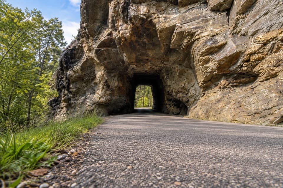
Thread a one-lane passage beneath a massive granite outcrop.
Overview
Map
Plan your stop

The highest, rockiest slopes around here are a summer buffet for grizzly bears.
Custer Tour Guide
Parkwolf is a GPS audio tour guide for Custer State Park. As you drive, it chimes in with what’s ahead: hidden gems, upcoming stops, history, geology, and wildlife, right through your car’s speakers.
Recorded for this area
When Mud Became Schist“Some of the Black Hills' dark, flaky rocks began as mud on an ancient sea floor. That mud hardened into shale, then heat and pressure changed it into mica schist.”
Plays on the road 0.1 mi from Iron Creek Tunnel in the Parkwolf Custer Tour Guide.
More stories near here in the app
“We recently toured Badlands, Custer State Park, Mount Rushmore and more! We learned so much from this app as we toured each of these sites. The audio tours are worth the money.”


Guide
Iron Creek Tunnel is a one-lane passage through a low opening in a massive granite outcrop along the 14-mile Needles Highway. I’d treat it as a quick landmark on the scenic drive, not a separate walk-up stop. The opening is 8 ft 9 in wide and 10 ft 10 in high; large RVs and vehicles towing campers should avoid this road and approach the Sylvan Lake area by SD 89 instead.
The road slips under fractured gray granite, with trees visible beyond the dark portal. It takes only moments to pass through, but the rock walls bring the highway’s rugged setting right up beside you. If you’re taking a photo from the car, let a passenger frame the road leading into the opening; no dedicated tunnel pullout was verified.
Former South Dakota governor Peter Norbeck marked the highway’s course on foot and horseback, and construction finished in 1922. The “Needles” name refers to the needle-like granite formations along the route; the tunnel is one of the close-up encounters with that rock landscape.
Wildlife
 993 sightingsBisonMost seen around 7 AMSighting map
 91 sightingsWapitiMost seen around 6 AMSighting map
 258 sightingsBighorn SheepMost seen around 7 AMSighting map
 85 sightingsMountain GoatMost seen around 7 AMSighting map
 256 sightingsBurroMost seen around 6 PMSighting map
 707 sightingsPronghornMost seen around 6 AMSighting map
Sighting maps show where each species has been reported across Custer. Wildlife moves, so no sighting is guaranteed.
Keep exploring
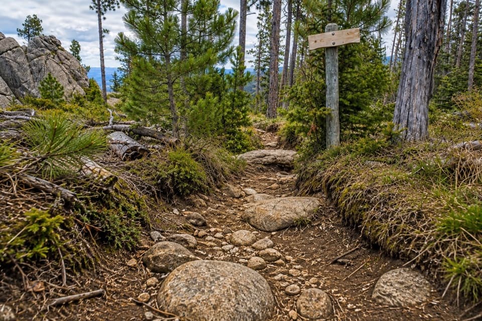 ChallengingNorbeck Trail #312.6 mi · 7.5 hr · 1 mi awayCreekside miles turn into a steep, rocky wilderness climb.
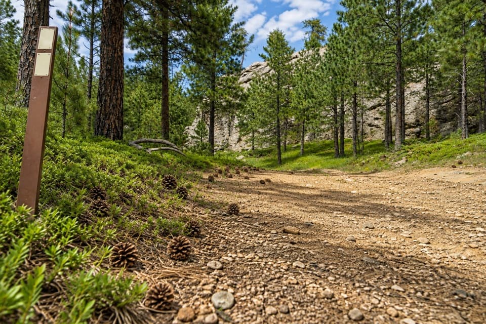 ChallengingCentennial Trail #89 (Custer State Park Section)22 mi · 11 hr · 1.2 mi awayFollow the park’s north–south trail from pine hills to bison grassland.
 ChallengingGrizzly Bear Creek Trail #712.6 mi · 7.5 hr · 2 mi awayA remote creek trail with beaver ponds and a steep upper climb.
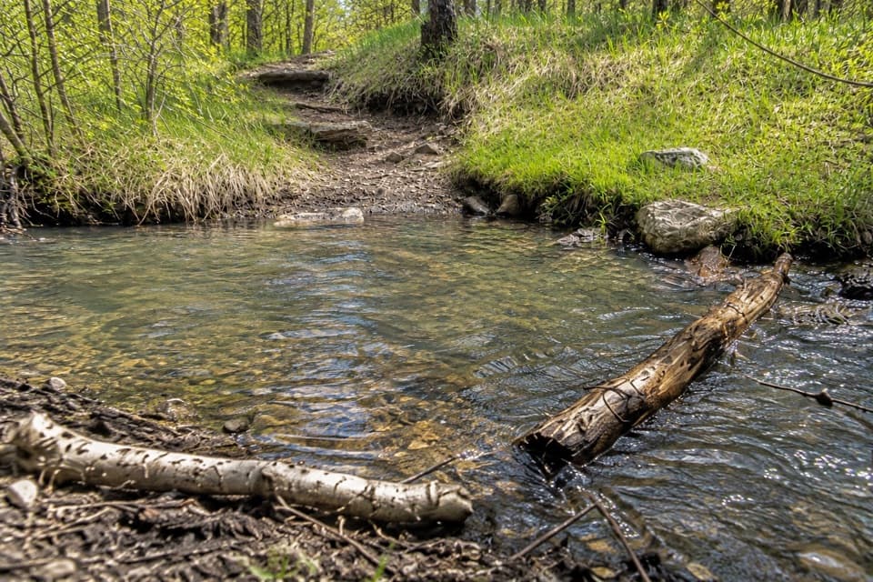 ChallengingGrizzly Bear Creek Trail #7 and Norbeck Trail #3 Loop12.9 mi · 8.5 hr · 2 mi awayA rugged 12.9-mile loop links beaver ponds and granite on two trails.
 ChallengingCathedral Spires Trail1.2 mi · 1.5 hr · 2.7 mi awayWalk into a granite basin after a short, steep climb.
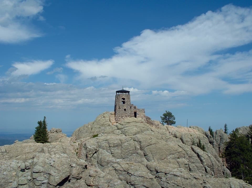 ChallengingBlack Elk Peak Trail #46.5 mi · 5 hr · 3.5 mi awayA rougher approach to South Dakota’s historic fire tower.
 ChallengingLittle Devils Tower Trail3 mi · 3 hr · 3.5 mi awayGranite chimneys lead to a summit view that earns the scramble.
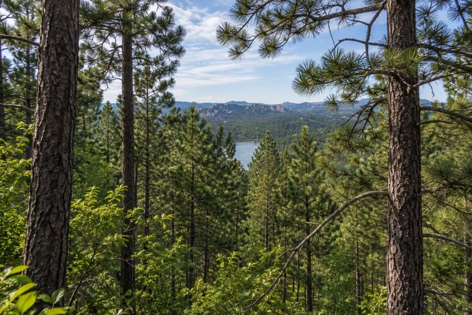 ModerateStockade Lake Trail1.5 mi · 1.3 hr · 3.7 mi awayA short rocky climb opens a view toward the Needles.
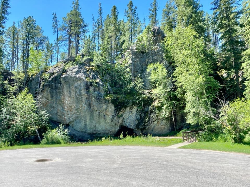 Picnic area · 1.9 mi awayHole-In-Wall Picnic AreaA curious cave and footbridge stop along Needles Highway.
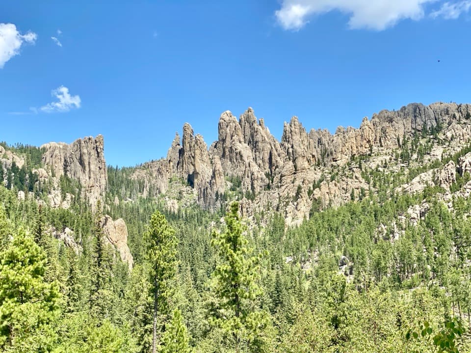 Scenic pullout · 2.5 mi awayCathedral Spires PulloutA roadside pause for the Needles' jagged granite skyline.
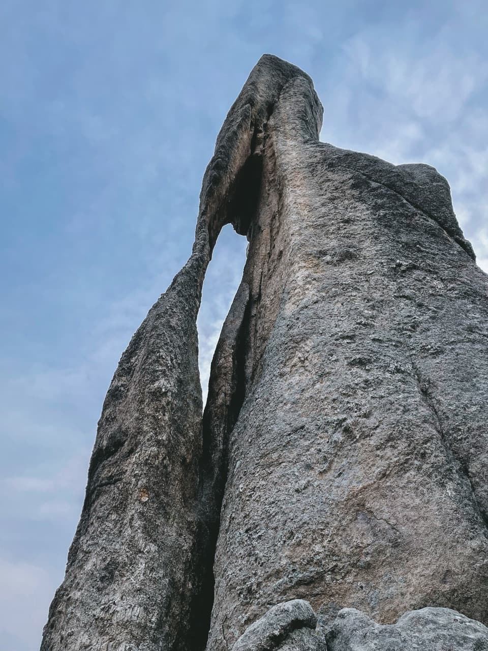 Sight · 3.1 mi awayNeedle’s EyeA granite spire’s tiny eye beside a narrow tunnel.
 Sight · 3.3 mi awayBlack Hills PlayhouseA 345-seat summer theatre with a tradition stretching back to 1946.
 Campground · 3.6 mi awaySylvan Lake CampgroundA compact base camp a short stroll from Sylvan Lake.
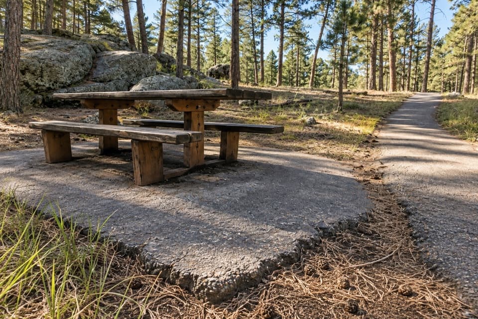 Picnic area · 3.6 mi awayIron Mountain Picnic AreaPicnic among granite boulders, with Mount Rushmore visible from the rocks.
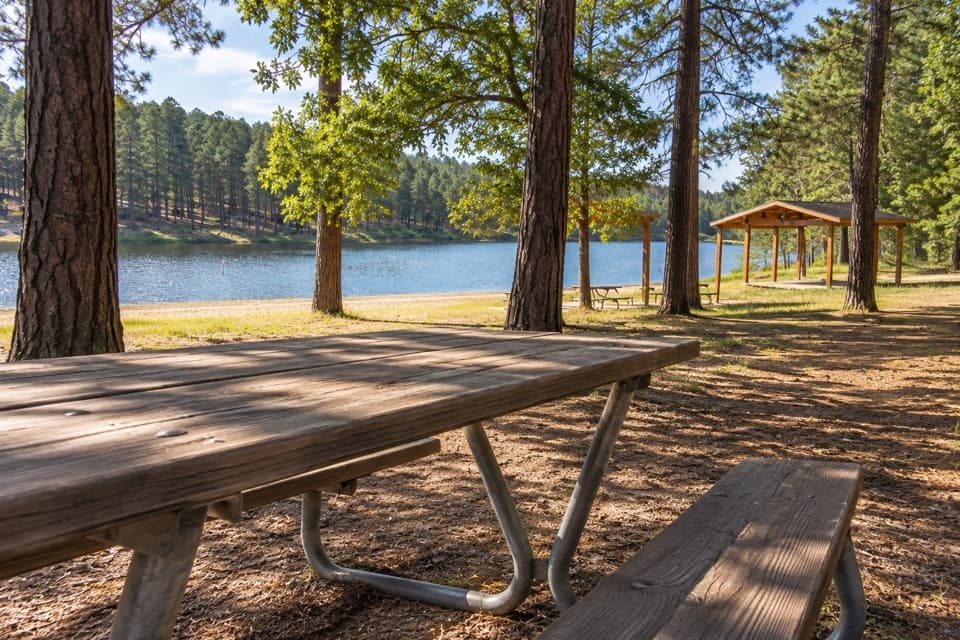 Campground · 3.6 mi awayCenter Lake CampgroundPonderosa shade beside the lake for swimming and fishing.
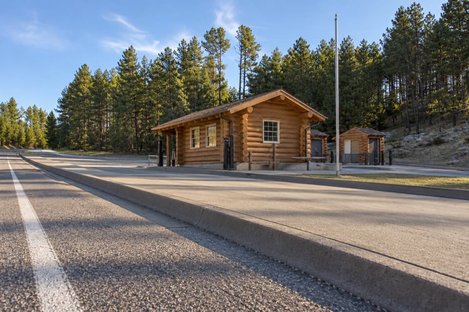 Entrance station · 3.7 mi awayWest Entrance StationA west-side entry booth for park access and local advice.
Parkwolf’s Custer ranking

The audio tour guide for the drive, plus offline maps, trails, and wildlife heatmaps for when the signal drops.