Parking
Use the west-side Center Lake parking area; the upper overlook trail sign is across the lot. A valid Custer State Park entrance license is required.
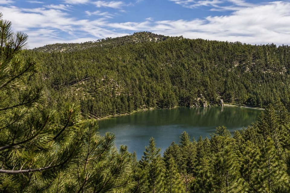
Custer State Park, SD
A short, steep loop climbs old stone paths to a lake overlook.
Overview
Map & elevation
Plan your hike

The highest, rockiest slopes around here are a summer buffet for grizzly bears.
Custer Tour Guide
Parkwolf is a GPS audio tour guide for Custer State Park. As you drive, it chimes in with what’s ahead: hidden gems, upcoming stops, history, geology, and wildlife, right through your car’s speakers.
Recorded for this trailhead
Center Lake: A Lake Day and Lost Stone Paths“You're nearing Center Lake, a good place to spend an afternoon swimming or fishing beside the pines. Boats run at no-wake speed, and the swimming beach has no lifeguard.”
Plays as you drive up to this trailhead in the Parkwolf Custer Tour Guide.
More stories near here in the app
“We recently toured Badlands, Custer State Park, Mount Rushmore and more! We learned so much from this app as we toured each of these sites. The audio tours are worth the money.”


Trail guide
The Upper Lost Trail is a roughly one-mile loop from Center Lake’s west-side access, climbing through pines to a rocky overlook above the water. Allow 45 to 60 minutes: the short mileage hides a steep climb and granite rock steps, so it feels more like a quick hill walk than a stroll around the lake. The route includes the upper loop and an out-and-back spur to the overlook; the lower shoreline loop is separate.
A fork gives you a steeper, more direct climb toward the overlook or the longer upper loop through the trees. The full outing returns from the view spur to its junction before finishing the loop and heading back to the parking area. The paths wind among pines, with partial views through the trees before the lake opens below you.
The park believes the Lost Trails were built by the Civilian Conservation Corps in the 1930s. They were forgotten for decades; in 2017, park staff found remnants and recreated the walk. Stone-lined sections and granite stairs still give the short hike a feel distinct from a modern graded path.
The payoff is a rocky overlook above Center Lake, with the water framed by wooded Black Hills slopes. For a photo, keep the lake in the middle of the frame and leave nearby pine branches along the edge; they show that you’re looking through the forest rather than straight across a bare shoreline.
Start at the west-side Center Lake parking area; the upper overlook trail sign is across the lot. A valid Custer State Park entrance license is required. Poison ivy is common along the Lost Trails, and the park recommends long pants and boots. Pets are allowed on leashes no longer than 10 feet; they’re excluded from park buildings and designated swim beaches. The rocky overlook and steep stone steps call for steady footing.
Wildlife
 993 sightingsBisonMost seen around 7 AMSighting map
 91 sightingsWapitiMost seen around 6 AMSighting map
 258 sightingsBighorn SheepMost seen around 7 AMSighting map
 85 sightingsMountain GoatMost seen around 7 AMSighting map
 256 sightingsBurroMost seen around 6 PMSighting map
 707 sightingsPronghornMost seen around 6 AMSighting map
Sighting maps show where each species has been reported across Custer. Wildlife moves, so no sighting is guaranteed.
Keep exploring
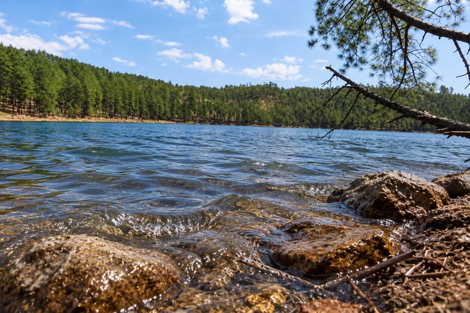 ModerateLost Trails: Lower Loop1.5 mi · 1 hr · At the trailheadA rocky lake loop with waterfall views and CCC stonework
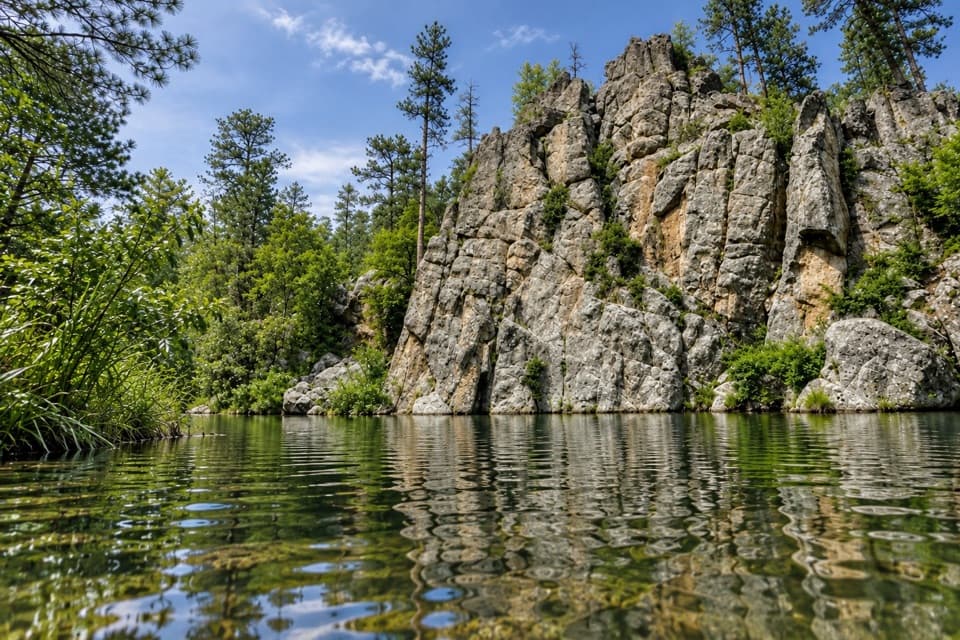 ModerateGrace Coolidge Trail4.6 mi · 3 hr · At the trailheadA nearly level creek walk past trout pools and repeated crossings.
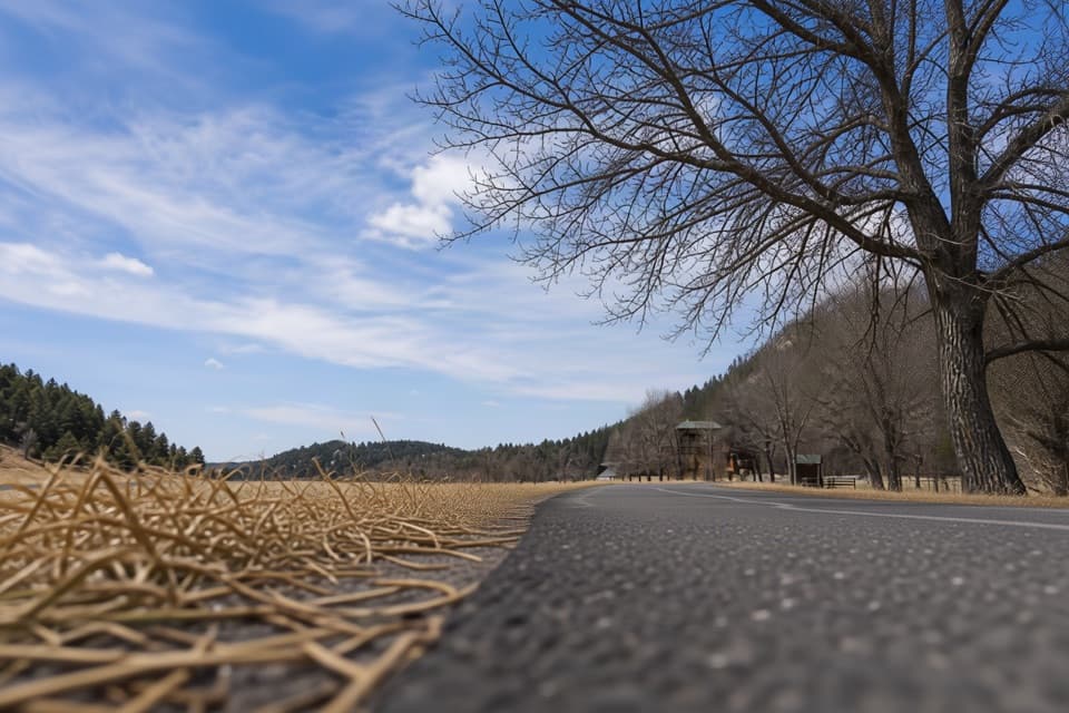 EasyCreekside Trail2 mi · 1.5 hr · 2.1 mi awayA paved creekside stroll with bridges and easy campground access.
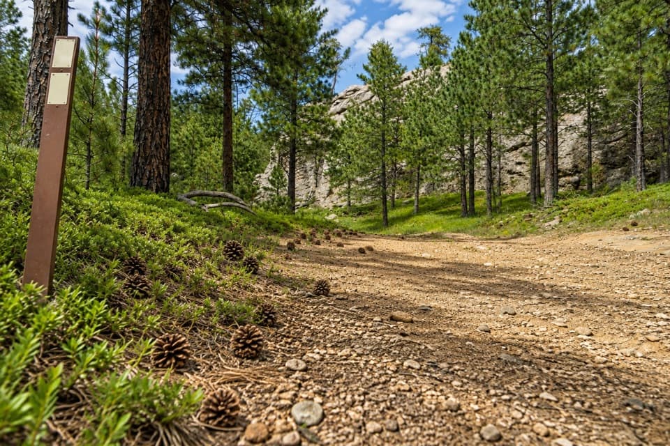 ChallengingCentennial Trail #89 (Custer State Park Section)22 mi · 11 hr · 2.5 mi awayFollow the park’s north–south trail from pine hills to bison grassland.
 ChallengingGrizzly Bear Creek Trail #712.6 mi · 7.5 hr · 2.8 mi awayA remote creek trail with beaver ponds and a steep upper climb.
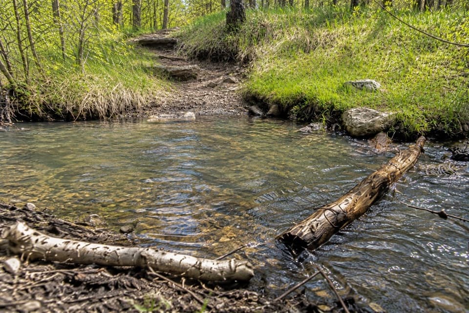 ChallengingGrizzly Bear Creek Trail #7 and Norbeck Trail #3 Loop12.9 mi · 8.5 hr · 2.8 mi awayA rugged 12.9-mile loop links beaver ponds and granite on two trails.
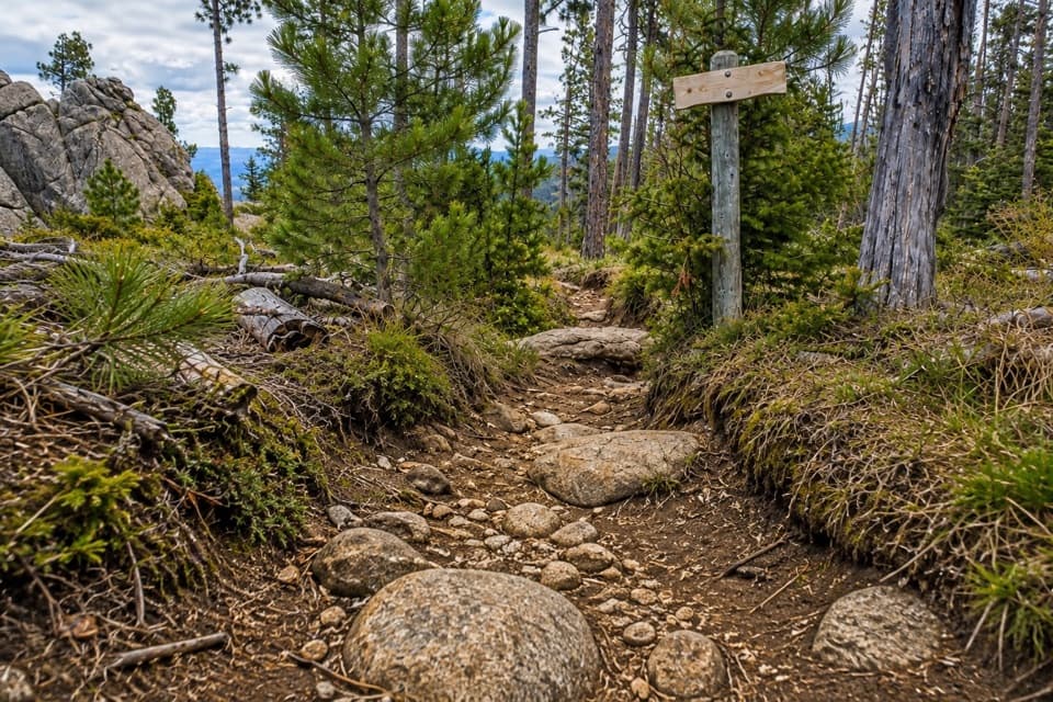 ChallengingNorbeck Trail #312.6 mi · 7.5 hr · 3.1 mi awayCreekside miles turn into a steep, rocky wilderness climb.
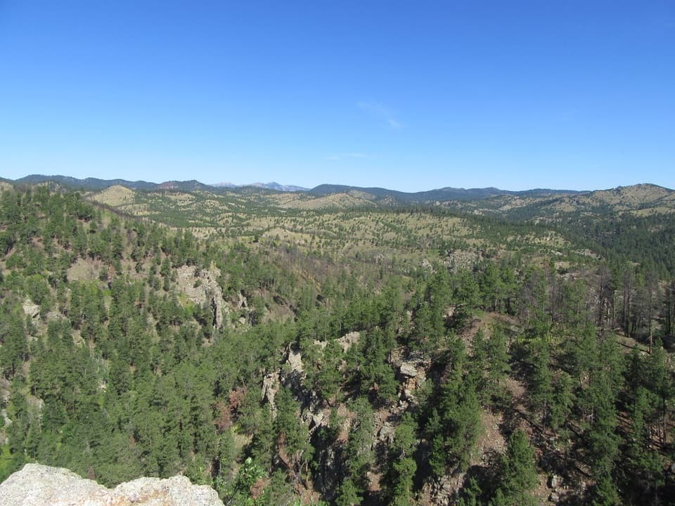 ModerateLovers Leap Trail4 mi · 3 hr · 3.3 mi awayA steep ridge, a rocky perch, then Galena Creek crossings.
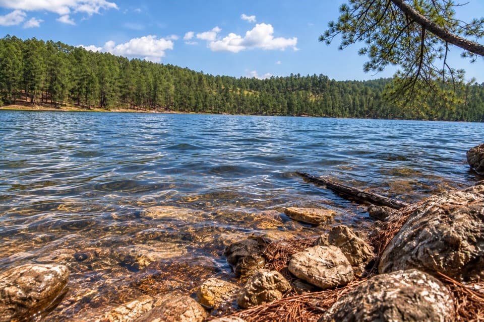 Sight · 0.1 mi awayCenter LakeSwim, fish or take the upper loop for a lake overlook.
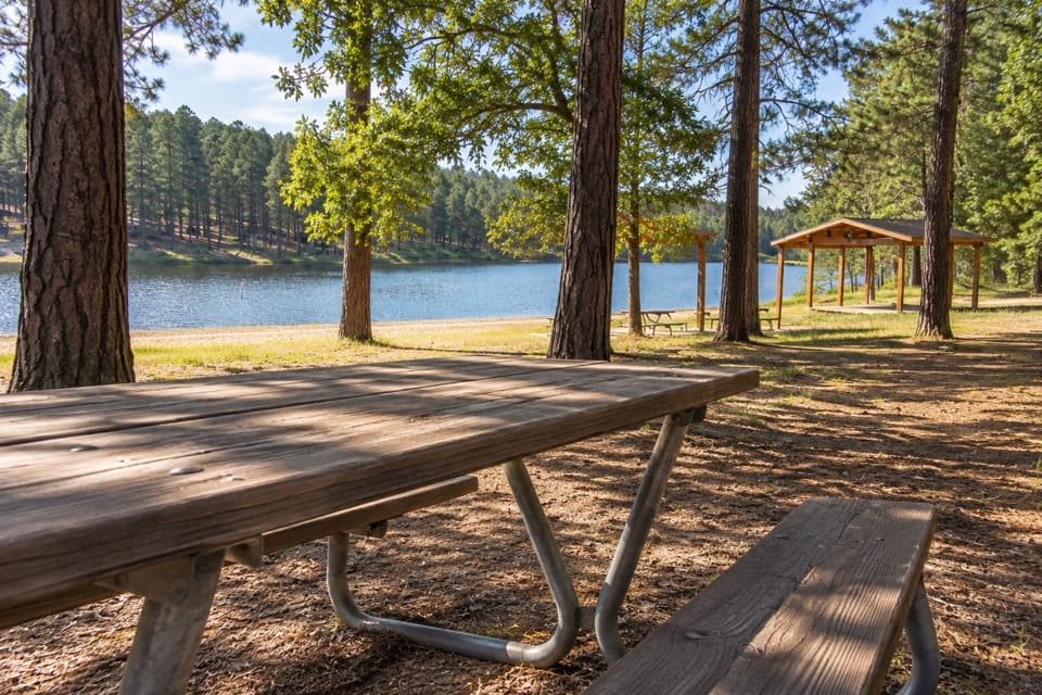 Campground · 0.2 mi awayCenter Lake CampgroundPonderosa shade beside the lake for swimming and fishing.
 Sight · 0.5 mi awayBlack Hills PlayhouseA 345-seat summer theatre with a tradition stretching back to 1946.
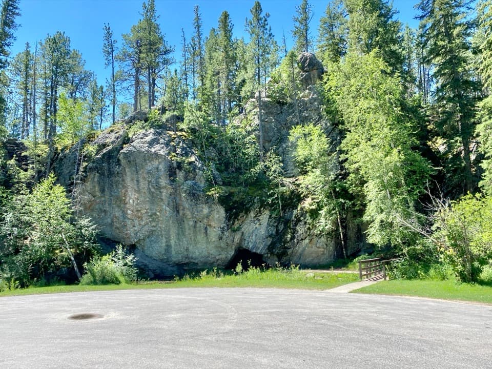 Picnic area · 1.8 mi awayHole-In-Wall Picnic AreaA curious cave and footbridge stop along Needles Highway.
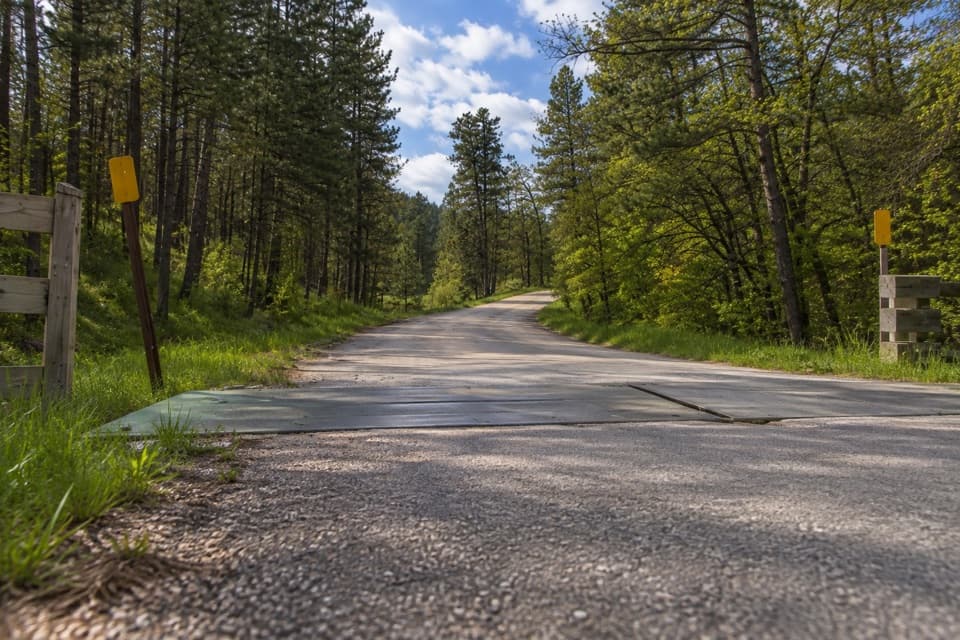 Entrance station · 1.8 mi awayPlayhouse Entrance StationA simple entry for the Black Hills Playhouse and north park roads.
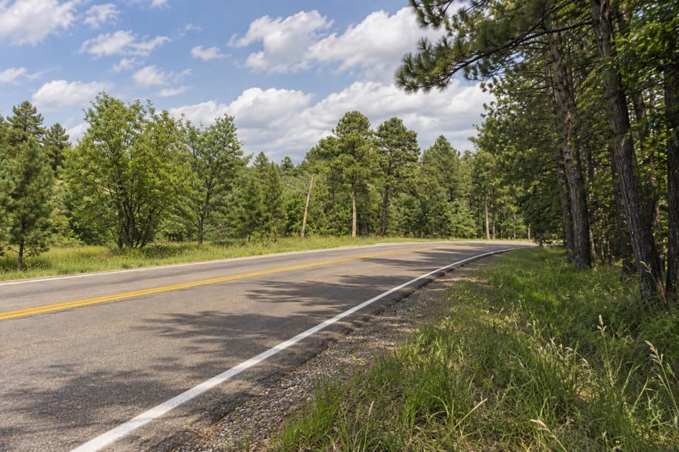 Campground · 1.8 mi awayShady Rest Non-Profit Youth Camp AreaPrimitive tent camping reserved for organized nonprofit youth groups.
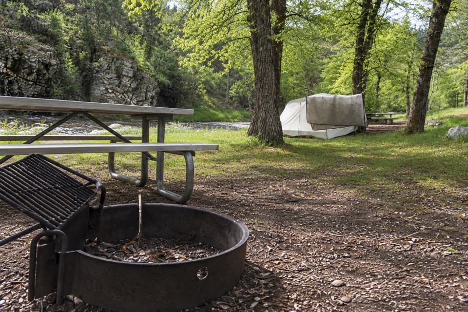 Campground · 2.1 mi awayGrace Coolidge CampgroundCreekside camping with tent-only sites across US 16A.
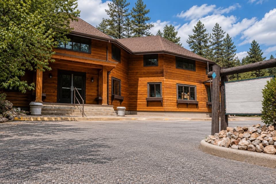 Store · 3 mi awayCoolidge General StoreA former Coolidge staff house with pizza, malts, and useful supplies.
Parkwolf’s Custer ranking

The audio tour guide for the drive, plus offline maps, trails, and wildlife heatmaps for when the signal drops.





