Parking
Use Center Lake beach parking and start at the Lower Loop access at the south end of the lot. A Custer State Park entrance license is required.
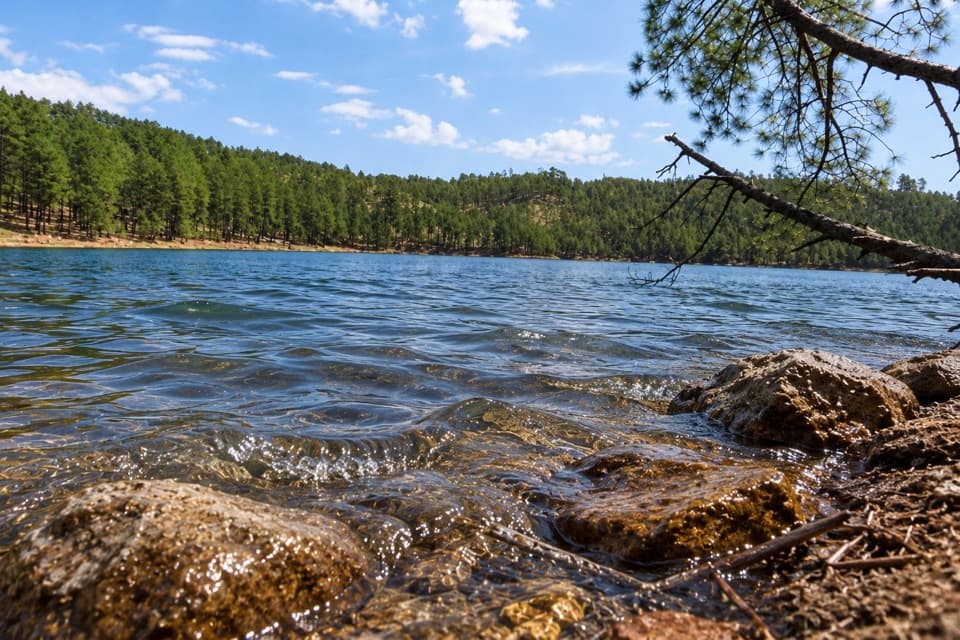
Custer State Park, SD
A rocky lake loop with waterfall views and CCC stonework
Overview
Map & elevation
Plan your hike

The highest, rockiest slopes around here are a summer buffet for grizzly bears.
Custer Tour Guide
Parkwolf is a GPS audio tour guide for Custer State Park. As you drive, it chimes in with what’s ahead: hidden gems, upcoming stops, history, geology, and wildlife, right through your car’s speakers.
Recorded for this trailhead
Center Lake: A Lake Day and Lost Stone Paths“You're nearing Center Lake, a good place to spend an afternoon swimming or fishing beside the pines. Boats run at no-wake speed, and the swimming beach has no lifeguard.”
Plays as you drive up to this trailhead in the Parkwolf Custer Tour Guide.
More stories near here in the app
“We recently toured Badlands, Custer State Park, Mount Rushmore and more! We learned so much from this app as we toured each of these sites. The audio tours are worth the money.”


Trail guide
Lost Trails: Lower Loop is a roughly 1.5-mile circuit around Center Lake, separate from the Upper Loop to the overlook. Allow about an hour. Shoreline views and forest make the walk varied, but narrow, rocky tread and short climbs make it more of a moderate hike than an easy lakeside stroll.
Start at the south end of Center Lake beach parking and follow the lower route around the lake. At the north end, a brief stretch of Center Lake Road joins the boat-dock and beach-side trail access so you can close the loop. Watch for the shoreline trail to rejoin near the campground.
The route alternates between narrow, rocky path in the trees and openings right beside the water. Expect repeated ups and downs, with uneven footing that can take more attention than the distance suggests. A granite staircase and stone-lined sections are part of the old trailwork; this is not a smooth path for wheels or strollers.
Below Center Lake’s spillway, the route passes a small waterfall and creek. The Lost Trails are believed to have been built by Civilian Conservation Corps crews in the 1930s, then forgotten; park staff rediscovered remnants in 2017 and restored sections. The CCC also built Center Lake’s dam and some of the buildings at the Black Hills Playhouse.
Poison ivy is common along the trail, so long pants and boots are sensible. Dogs must stay on a leash no longer than 10 feet and are not allowed on the designated swim beach. A Custer State Park entrance license is required. No food service was found along the route.
Wildlife
 993 sightingsBisonMost seen around 7 AMSighting map
 91 sightingsWapitiMost seen around 6 AMSighting map
 258 sightingsBighorn SheepMost seen around 7 AMSighting map
 85 sightingsMountain GoatMost seen around 7 AMSighting map
 256 sightingsBurroMost seen around 6 PMSighting map
 707 sightingsPronghornMost seen around 6 AMSighting map
Sighting maps show where each species has been reported across Custer. Wildlife moves, so no sighting is guaranteed.
Keep exploring
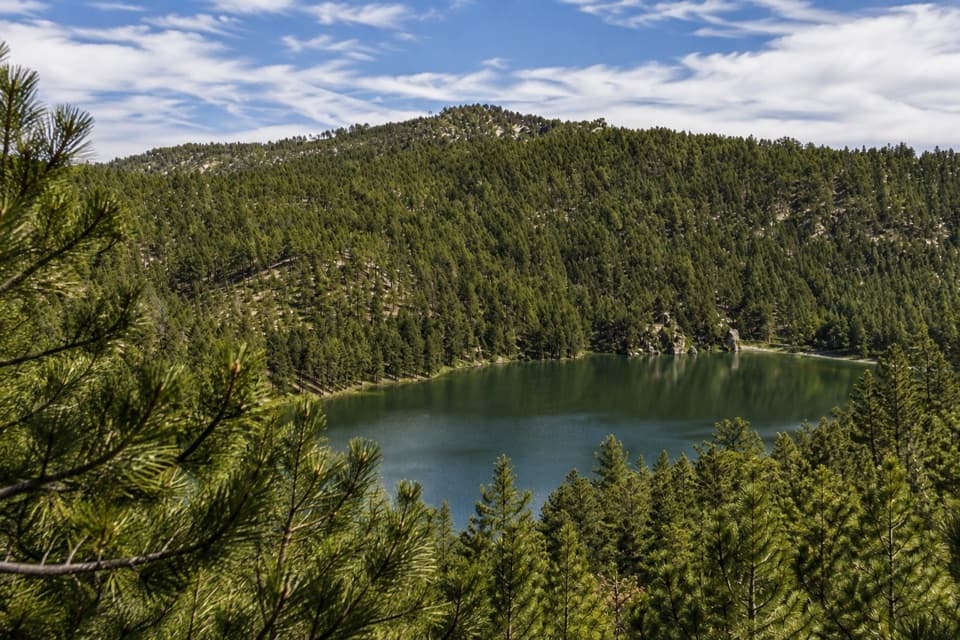 ModerateLost Trails: Upper Loop and Overlook1 mi · 45 min · At the trailheadA short, steep loop climbs old stone paths to a lake overlook.
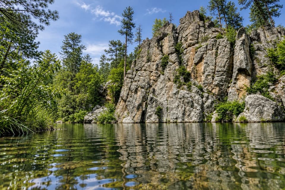 ModerateGrace Coolidge Trail4.6 mi · 3 hr · At the trailheadA nearly level creek walk past trout pools and repeated crossings.
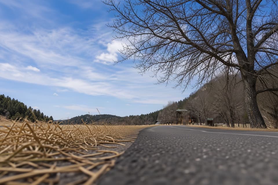 EasyCreekside Trail2 mi · 1.5 hr · 2.1 mi awayA paved creekside stroll with bridges and easy campground access.
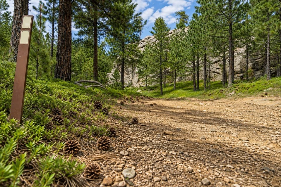 ChallengingCentennial Trail #89 (Custer State Park Section)22 mi · 11 hr · 2.5 mi awayFollow the park’s north–south trail from pine hills to bison grassland.
 ChallengingGrizzly Bear Creek Trail #712.6 mi · 7.5 hr · 2.8 mi awayA remote creek trail with beaver ponds and a steep upper climb.
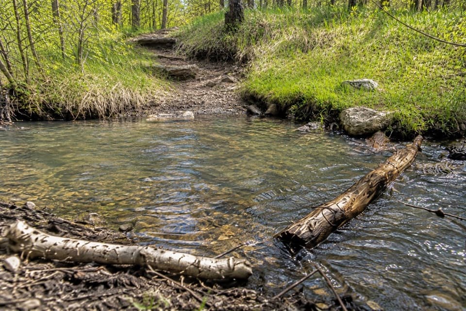 ChallengingGrizzly Bear Creek Trail #7 and Norbeck Trail #3 Loop12.9 mi · 8.5 hr · 2.8 mi awayA rugged 12.9-mile loop links beaver ponds and granite on two trails.
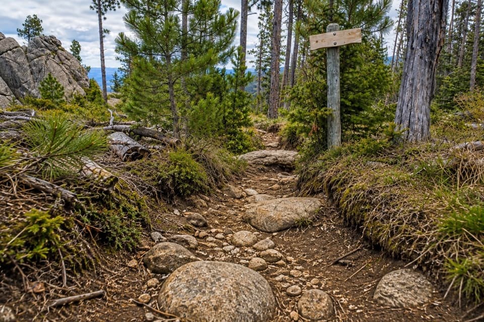 ChallengingNorbeck Trail #312.6 mi · 7.5 hr · 3.1 mi awayCreekside miles turn into a steep, rocky wilderness climb.
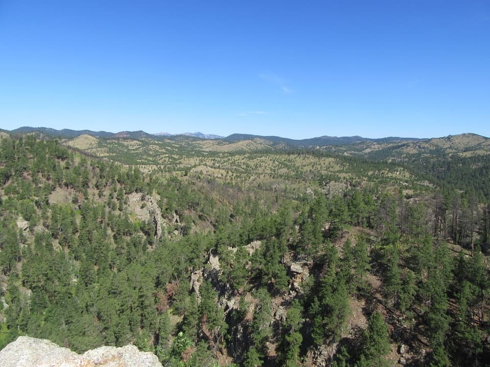 ModerateLovers Leap Trail4 mi · 3 hr · 3.3 mi awayA steep ridge, a rocky perch, then Galena Creek crossings.
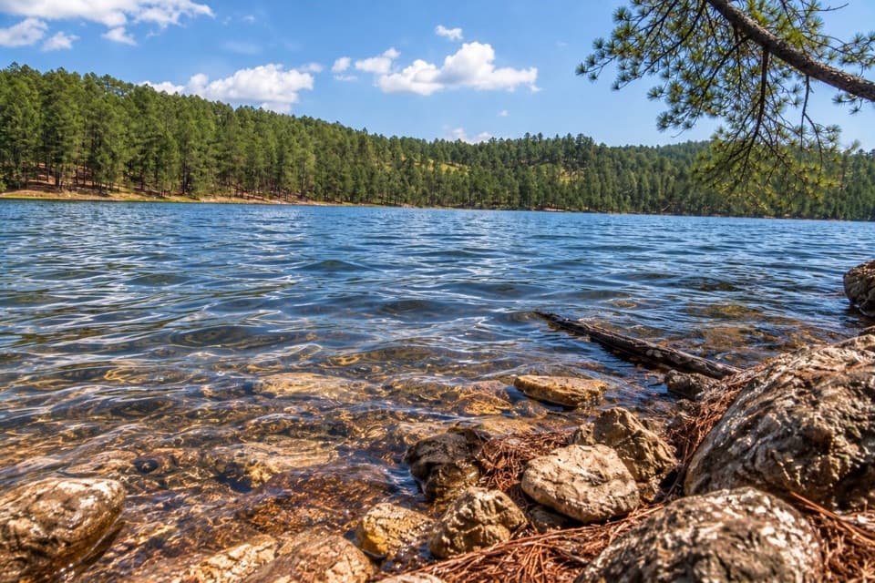 Sight · 0.1 mi awayCenter LakeSwim, fish or take the upper loop for a lake overlook.
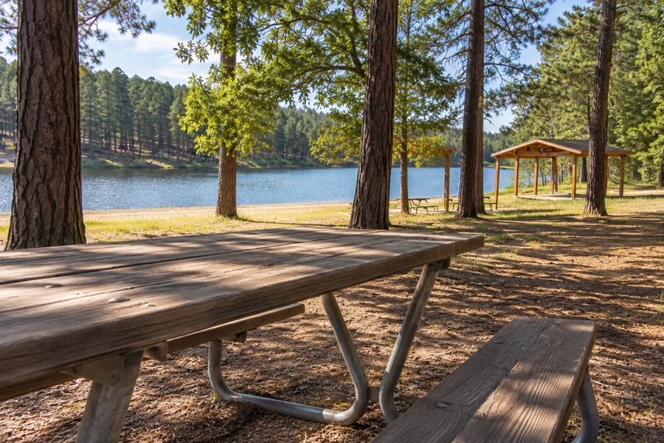 Campground · 0.2 mi awayCenter Lake CampgroundPonderosa shade beside the lake for swimming and fishing.
 Sight · 0.5 mi awayBlack Hills PlayhouseA 345-seat summer theatre with a tradition stretching back to 1946.
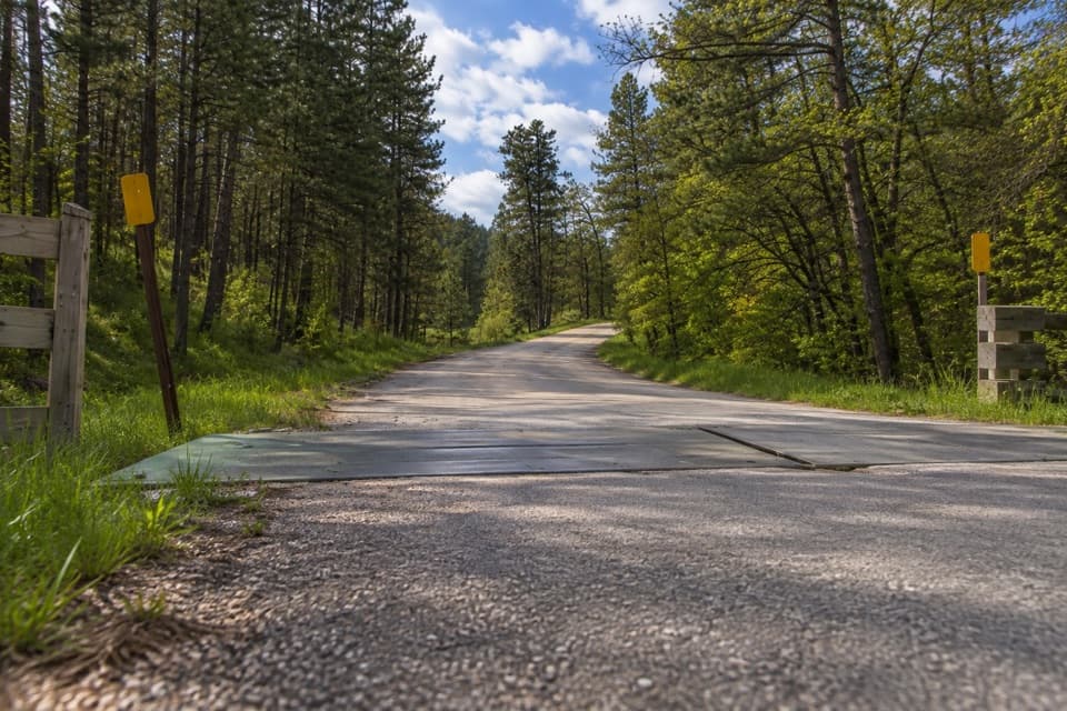 Entrance station · 1.8 mi awayPlayhouse Entrance StationA simple entry for the Black Hills Playhouse and north park roads.
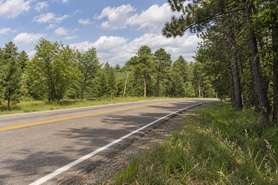 Campground · 1.8 mi awayShady Rest Non-Profit Youth Camp AreaPrimitive tent camping reserved for organized nonprofit youth groups.
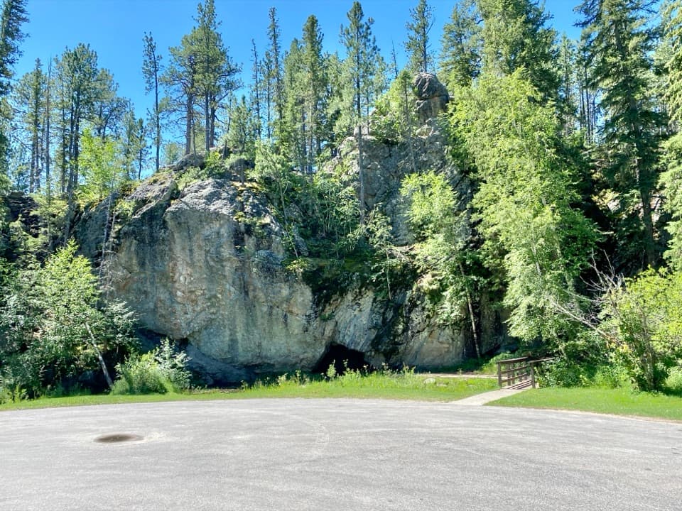 Picnic area · 1.8 mi awayHole-In-Wall Picnic AreaA curious cave and footbridge stop along Needles Highway.
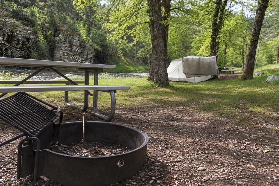 Campground · 2.1 mi awayGrace Coolidge CampgroundCreekside camping with tent-only sites across US 16A.
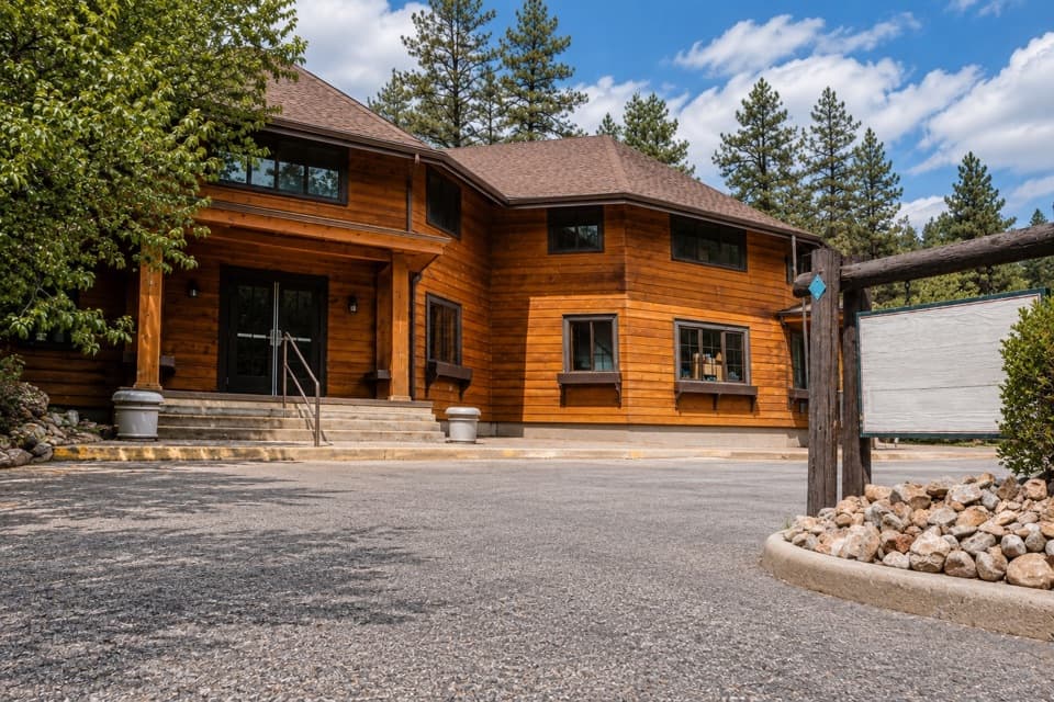 Store · 3 mi awayCoolidge General StoreA former Coolidge staff house with pizza, malts, and useful supplies.
Parkwolf’s Custer ranking

The audio tour guide for the drive, plus offline maps, trails, and wildlife heatmaps for when the signal drops.





