Parking
Use Horsethief Lake Day Use Area on SD-244, about two miles west of Mount Rushmore. The Trail #14 trailhead has dedicated parking; follow the signed #14 access from the day-use area.
#9 of 40 trails in Custer
Custer State Park, SD
A long climb to the Black Hills’ stone summit lookout.
Overview
Map & elevation
Plan your hike

The highest, rockiest slopes around here are a summer buffet for grizzly bears.
Custer Tour Guide
Parkwolf is a GPS audio tour guide for Custer State Park. As you drive, it chimes in with what’s ahead: hidden gems, upcoming stops, history, geology, and wildlife, right through your car’s speakers.
More stories near here in the app
“We recently toured Badlands, Custer State Park, Mount Rushmore and more! We learned so much from this app as we toured each of these sites. The audio tours are worth the money.”


Trail guide
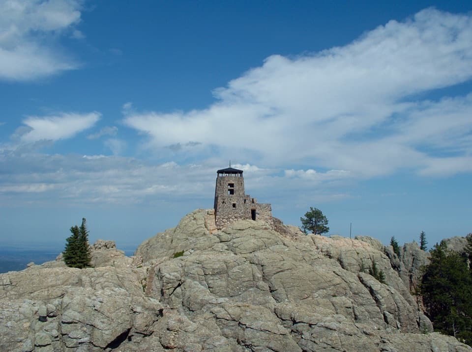
Black Elk Peak via Horsethief Lake is a 13-mile out-and-back to South Dakota’s highest point. From the day-use area, take Trail #14, then Grizzly Bear Creek #7, Norbeck #3 and #9 to the summit; the return follows the same way. The mapped corridor is about 6.45 miles to the top, and the 13-mile figure includes the return. This is the summit extension, not the short Horsethief Lake #14 walk or the separate 14.6-mile loop. Plan on about eight hours with breaks; seven to nine is a sensible full-day window. You climb from roughly 5,000 feet to 7,242 feet, so the distance and sustained uphill make this more than a quick viewpoint walk. If 13 miles is too much, Trail #9 from Sylvan Lake is the shorter, more heavily used way to the same summit.
Trail #14 threads through thick forest past granite peaks and twisting spires. It crosses two saddles with campsites and broad views, good places to pause before the longer climb. At the junction, follow Grizzly Bear Creek #7 toward Norbeck #3; #7 is the rugged, uphill stretch through remote forest and rocky formations. This route turns onto #3 before covering the entire #7 trail, then follows #9 for the final summit approach. Keep the numbered sequence straight: several trails cross the wilderness, and this is an out-and-back rather than a loop. The route line is a little over six miles one way, so save some energy for the same corridor on the return.
The summit is a historic site as well as a high point. The stone fire lookout was built by the Civilian Conservation Corps between 1938 and 1940, and it was staffed until 1967; it no longer operates as a lookout. The tower, stairway, dam and pumphouse are part of the summit, so give yourself time to look around rather than touch the high point and turn straight back. The rocky summit opens to a broad view across the Black Hills and neighboring states. For a photo, step back enough to frame the stone tower against the granite and leave some of the summit in view; a tight crop makes it look like any isolated building.
Start at Horsethief Lake Day Use Area on SD-244, about two miles west of Mount Rushmore; the Forest Service identifies it as the Trail #14 trailhead and provides dedicated parking. Potable water is not available at the day-use area, and no reliable food or water stop was confirmed along the route, so carry what you need for the full day. The route is in Black Elk Wilderness, where dogs must be on a leash or under strict voice control. Check current Forest Service notices for temporary closures before setting out.
Wildlife
 993 sightingsBisonMost seen around 7 AMSighting map
 91 sightingsWapitiMost seen around 6 AMSighting map
 258 sightingsBighorn SheepMost seen around 7 AMSighting map
 85 sightingsMountain GoatMost seen around 7 AMSighting map
 256 sightingsBurroMost seen around 6 PMSighting map
 707 sightingsPronghornMost seen around 6 AMSighting map
Sighting maps show where each species has been reported across Custer. Wildlife moves, so no sighting is guaranteed.
Keep exploring
ChallengingBlack Elk Peak Loop via Lost Cabin and Trail #9 North13.6 mi · 8.5 hr · 3.6 mi awayA rugged full-day loop to Black Elk Peak’s stone fire lookout. ChallengingGrizzly Bear Creek Trail #712.6 mi · 7.5 hr · 4.2 mi awayA remote creek trail with beaver ponds and a steep upper climb.
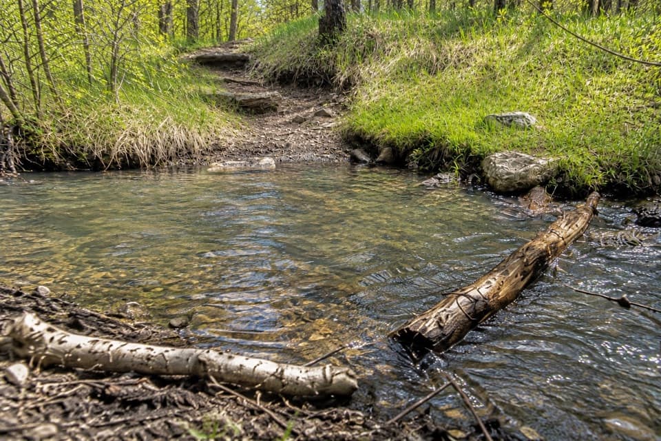 ChallengingGrizzly Bear Creek Trail #7 and Norbeck Trail #3 Loop12.9 mi · 8.5 hr · 4.2 mi awayA rugged 12.9-mile loop links beaver ponds and granite on two trails.
 ChallengingCathedral Spires Trail1.2 mi · 1.5 hr · 4.3 mi awayWalk into a granite basin after a short, steep climb.
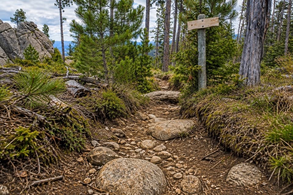 ChallengingNorbeck Trail #312.6 mi · 7.5 hr · 4.4 mi awayCreekside miles turn into a steep, rocky wilderness climb.
 ChallengingLittle Devils Tower Trail3 mi · 3 hr · 4.8 mi awayGranite chimneys lead to a summit view that earns the scramble.ChallengingBlack Elk Peak Trail #46.5 mi · 5 hr · 4.8 mi awayA rougher approach to South Dakota’s historic fire tower.
 ChallengingBlack Elk Peak Loop7.1 mi · 4 hr · 4.9 mi awayA 7.1-mile summit loop climbs Trail #4 and returns on #9.Sight · 3 mi awayBlack Elk PeakA historic stone lookout crowns South Dakota's highest summit.
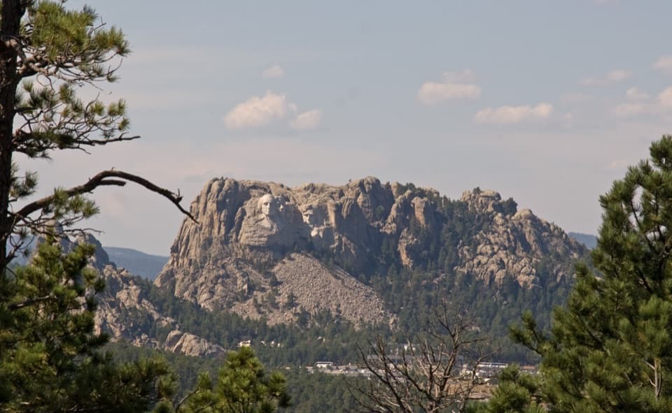 Scenic pullout · 3.4 mi awayNorbeck OverlookA quick roadside look at Rushmore along a winding scenic drive.
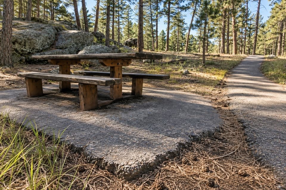 Picnic area · 3.4 mi awayIron Mountain Picnic AreaPicnic among granite boulders, with Mount Rushmore visible from the rocks.
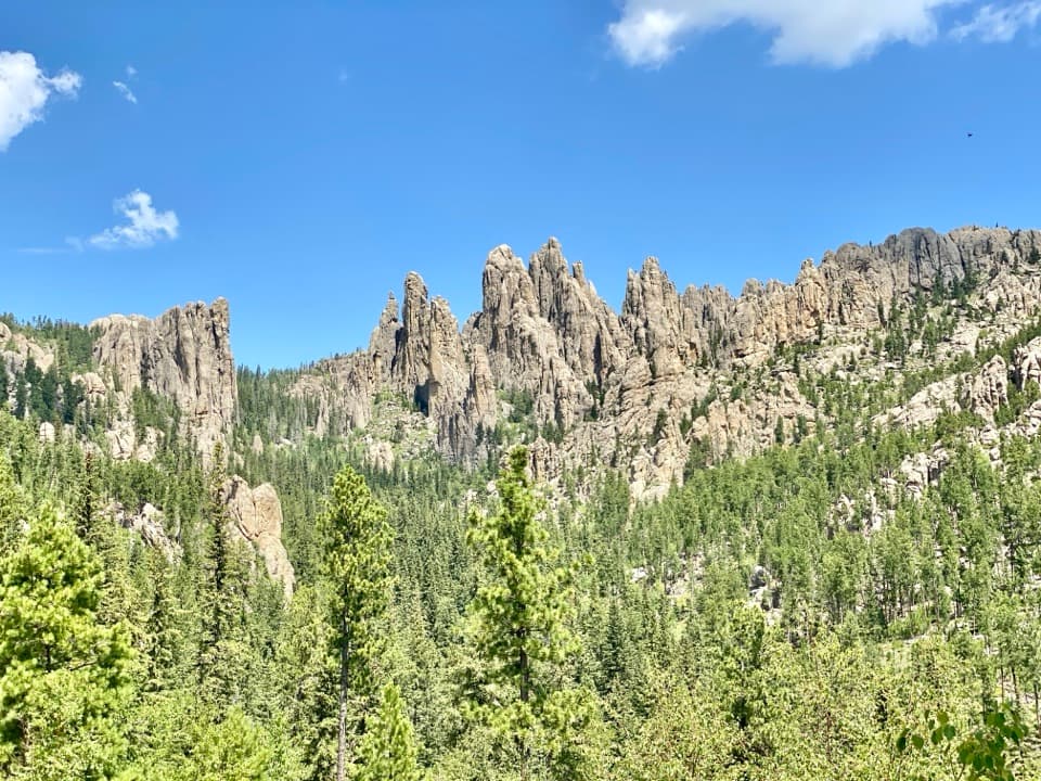 Scenic pullout · 4.4 mi awayCathedral Spires PulloutA roadside pause for the Needles' jagged granite skyline.
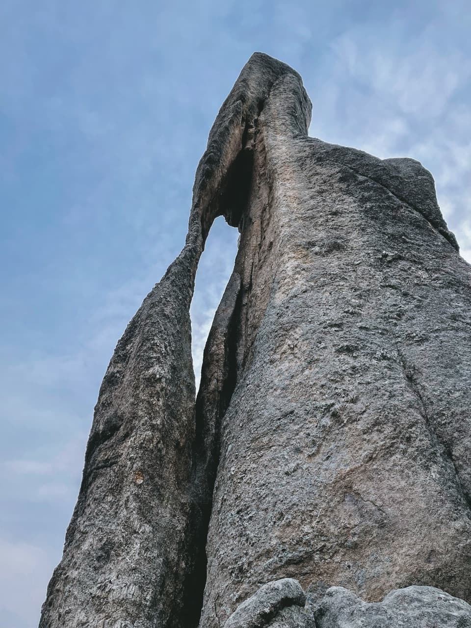 Sight · 4.6 mi awayNeedle’s EyeA granite spire’s tiny eye beside a narrow tunnel.
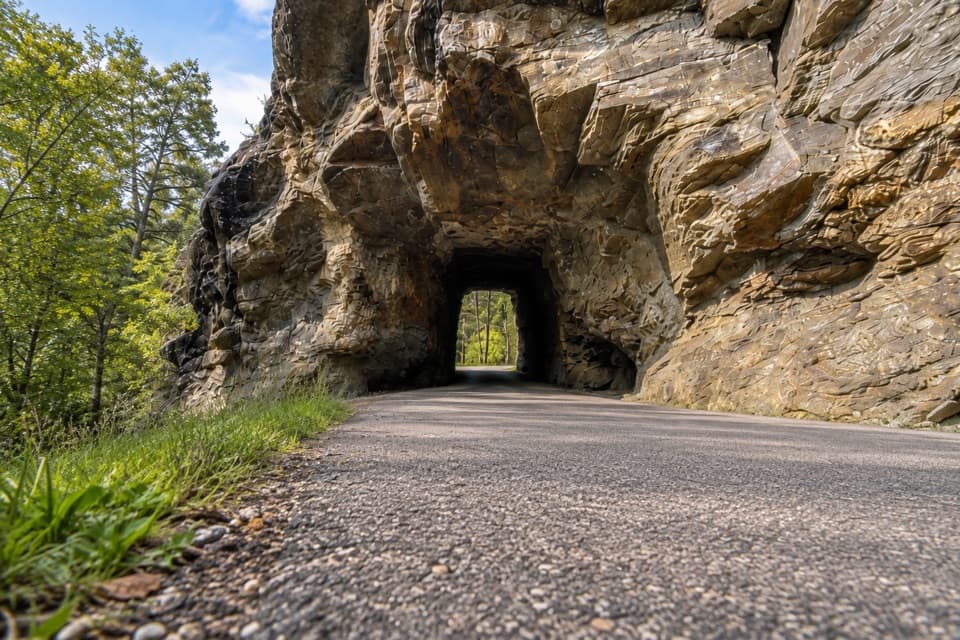 Sight · 4.9 mi awayIron Creek TunnelThread a one-lane passage beneath a massive granite outcrop.
 Sight · 4.9 mi awaySylvan LakeGranite towers and still water, with a one-mile shore loop.
 Campground · 5.1 mi awaySylvan Lake CampgroundA compact base camp a short stroll from Sylvan Lake.
Parkwolf’s Custer ranking

The audio tour guide for the drive, plus offline maps, trails, and wildlife heatmaps for when the signal drops.

