Parking
The park map marks parking at the west access beside Stockade Lake Drive. The mapped route begins at the nearby Doran trail access; confirm the trail marker before heading east.
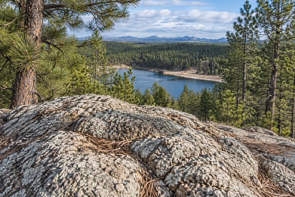
Custer State Park, SD
CCC stone paths lead to pine-framed Stockade Lake views
Overview
Map & elevation
Plan your hike

The highest, rockiest slopes around here are a summer buffet for grizzly bears.
Custer Tour Guide
Parkwolf is a GPS audio tour guide for Custer State Park. As you drive, it chimes in with what’s ahead: hidden gems, upcoming stops, history, geology, and wildlife, right through your car’s speakers.
Recorded for this trailhead
Doran Trail: Stone Paths Above Stockade Lake“You're nearing the Doran Trail access beside Stockade Lake. Choose this for a wooded shoreline walk with lake views and old stone paths and stairs built by the Civilian Conservation Corps.”
Plays as you drive up to this trailhead in the Parkwolf Custer Tour Guide.
More stories near here in the app
“We recently toured Badlands, Custer State Park, Mount Rushmore and more! We learned so much from this app as we toured each of these sites. The audio tours are worth the money.”


Trail guide
Follow Stockade Lake’s wooded south shore over rolling dirt and rock to lake views and Camp Doran’s old stone paths. The mapped corridor is about 1.15 miles one way (about 2.3 miles round-trip); allow roughly 1–1.5 hours. Mileage references conflict: one park map lists 0.6 miles while its overview labels the trail 1.2 miles, and neither makes the distance convention clear. Check trail markers and your turnaround before setting out, especially if you expect a short walk.
The route includes uneven stonework and steps, and parts may be faint. Some sections use paved Stockade Lake Drive, shared with vehicles; take care while walking on the road.
The trail follows surviving stone paths and stairs built by Civilian Conservation Corps crews. Camp Doran opened in 1933, and its original summer tent site now lies beneath Stockade Lake; the camp closed in 1937.
Dogs may join hikers on a leash no longer than 10 feet. Pets are not allowed in park buildings or on designated swim beaches.
Wildlife
 993 sightingsBisonMost seen around 7 AMSighting map
 91 sightingsWapitiMost seen around 6 AMSighting map
 258 sightingsBighorn SheepMost seen around 7 AMSighting map
 85 sightingsMountain GoatMost seen around 7 AMSighting map
 256 sightingsBurroMost seen around 6 PMSighting map
 707 sightingsPronghornMost seen around 6 AMSighting map
Sighting maps show where each species has been reported across Custer. Wildlife moves, so no sighting is guaranteed.
Keep exploring
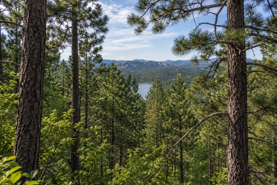 ModerateStockade Lake Trail1.5 mi · 1.3 hr · 1.1 mi awayA short rocky climb opens a view toward the Needles.
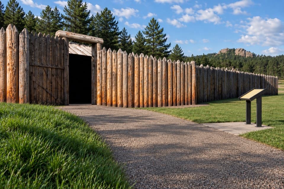 EasyCuster Connector Trail3.2 mi · 1.6 hr · 3 mi awayA gentle paved link from Custer to Gordon Stockade.
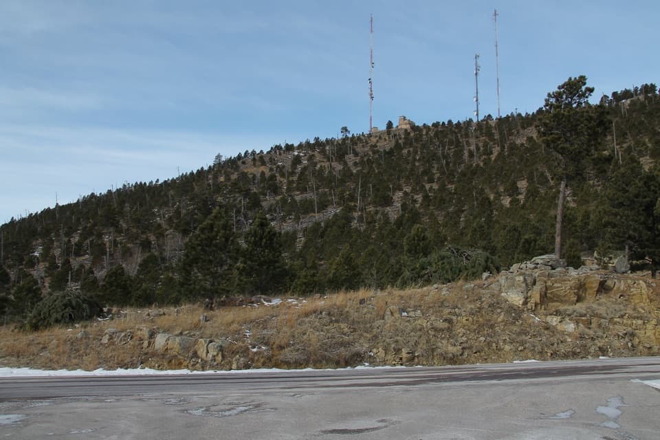 ModerateMount Coolidge Trail3.3 mi · 1.8 hr · 3.1 mi awayClimb the fire tower road for Black Hills views and CCC history.
 EasyHeddy Lookout Trail0.8 mi · 30 min · 3.1 mi awayA short wooded walk to a covered overlook above Heddy Draw
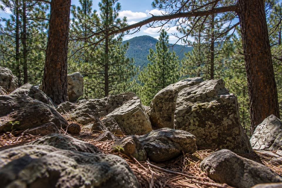 ModerateLegion Lake Trail1 mi · 1 hr · 3.2 mi awayA rocky ridge loop with blue markers and a Mount Coolidge glimpse.
 ModerateHeddy Draw Horse Trail7.1 mi · 4 hr · 3.3 mi awaySteep Black Hills horse trail with a long descent into Heddy Draw.
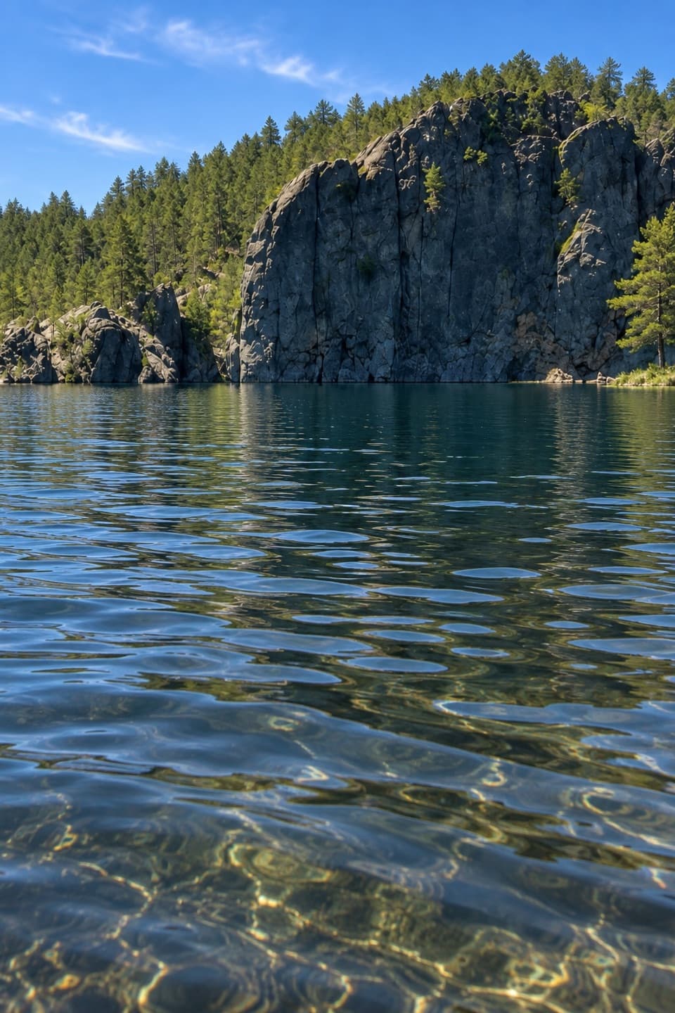 EasyLegion Lakeshore Trail0.7 mi · 30 min · 3.4 mi awayAn easy lakeside loop beneath granite cliffs and pines.
 ModerateSaw Mill Trail2.2 mi · 1.3 hr · 3.6 mi awayA forested ridge traverse links two mapped Saw Mill sections.
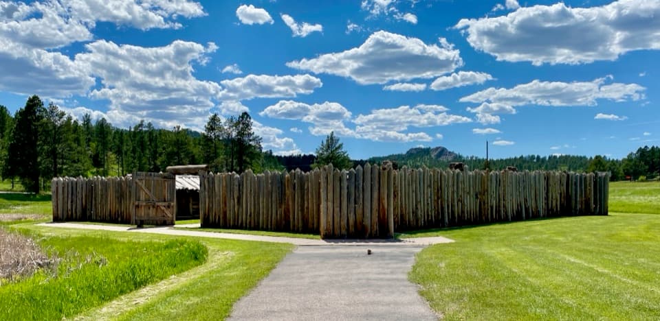 Sight · 0.1 mi awayGordon StockadeA small reconstructed fort tied to the Black Hills gold rush.
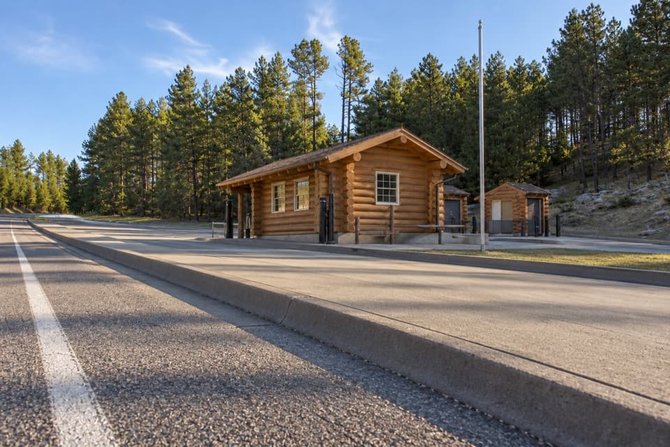 Entrance station · 0.4 mi awayWest Entrance StationA west-side entry booth for park access and local advice.
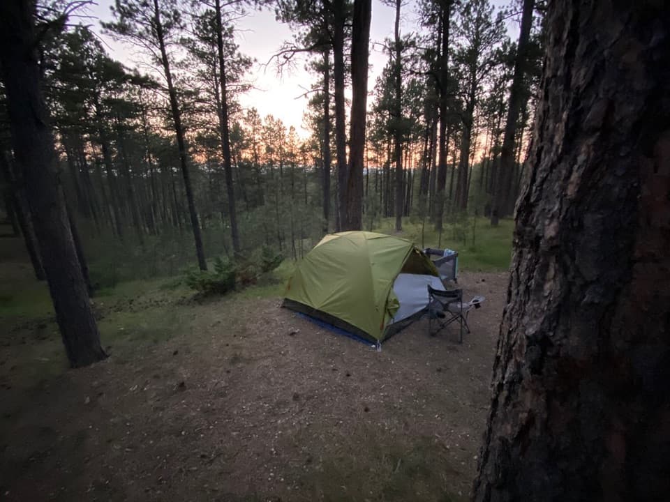 Campground · 0.5 mi awayStockade Lake North CampgroundA pine-shaded base with a boat ramp and fishing pier.
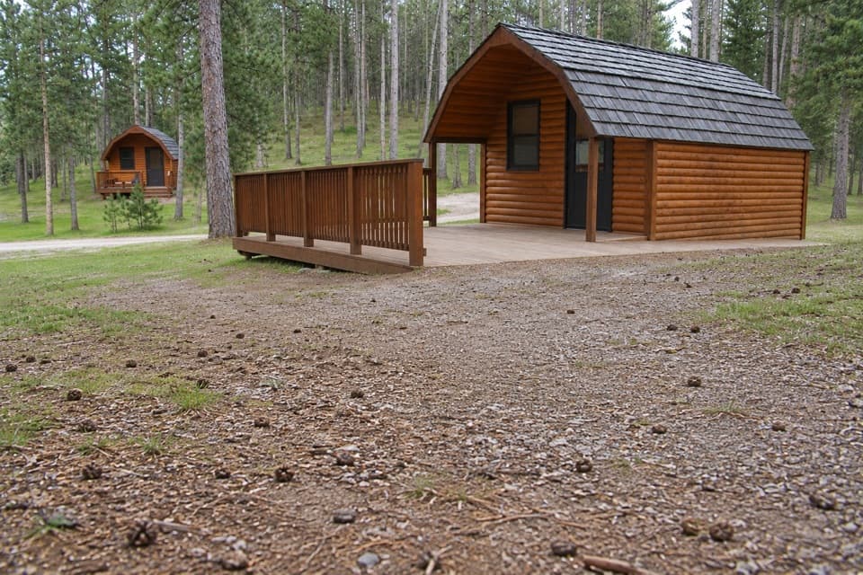 Campground · 0.5 mi awayStockade Lake South CampgroundA wooded base near the lake, with campsites and cabins.
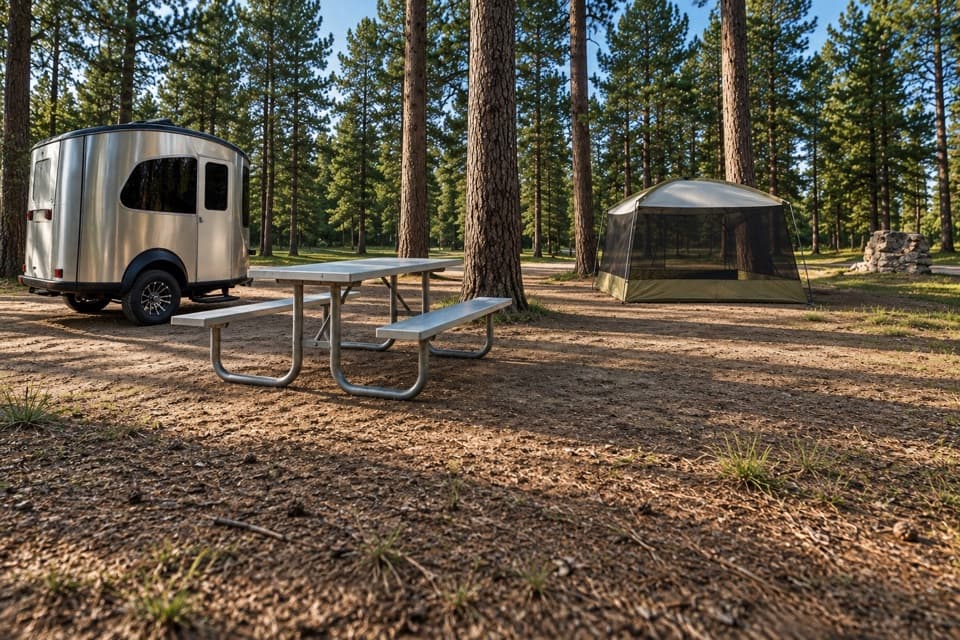 Campground · 0.6 mi awayStockade Lake Group AreaA shared lakeside camp for groups, tents and small trailers.
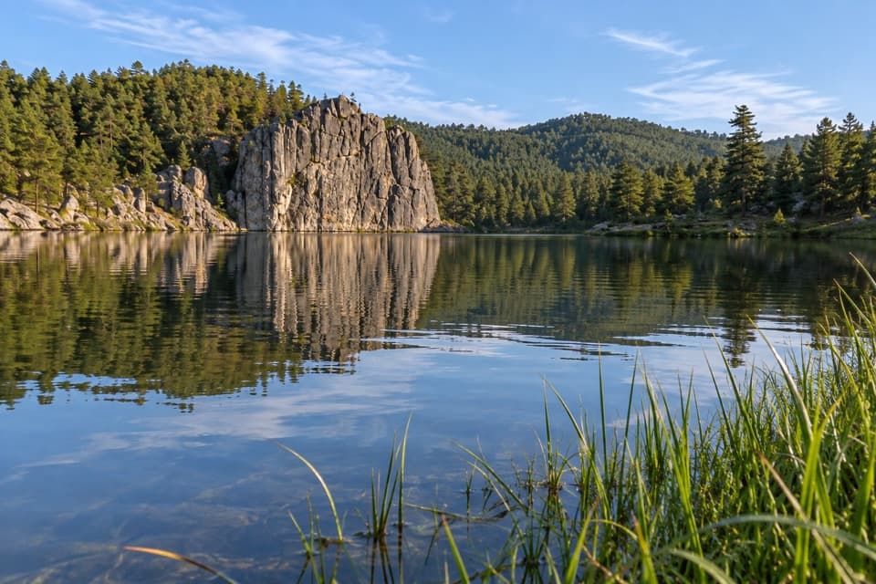 Sight · 0.7 mi awayStockade LakeThe park’s only lake open to every kind of boat.
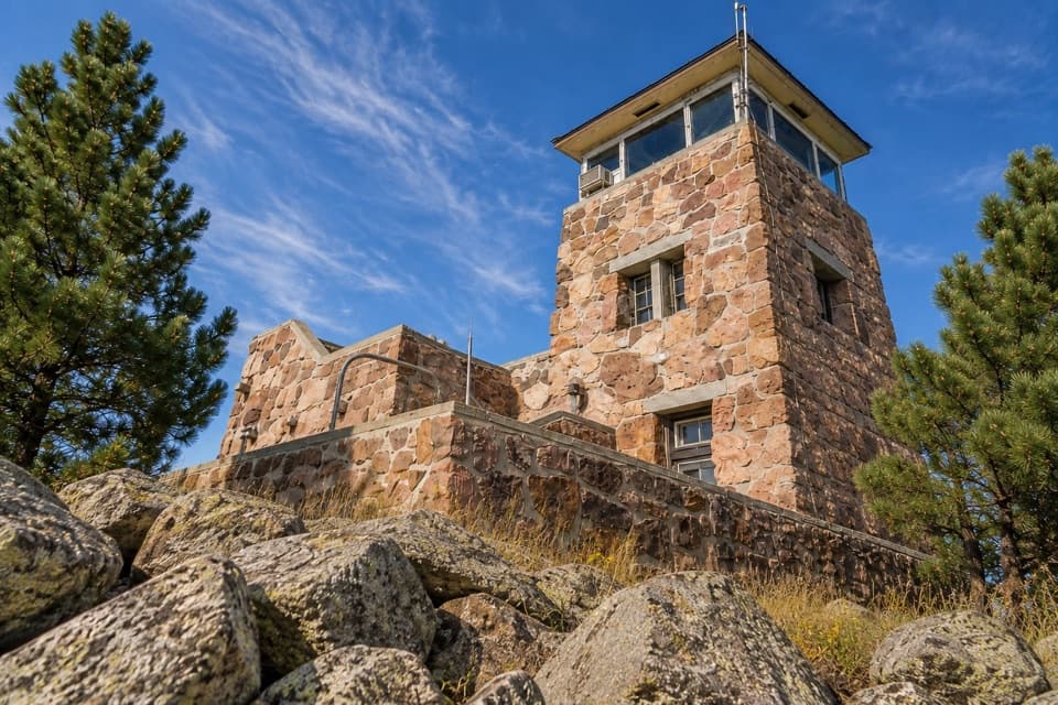 Sight · 3 mi awayMount Coolidge Fire TowerClear-day views reach Rushmore, Crazy Horse and the Needles.
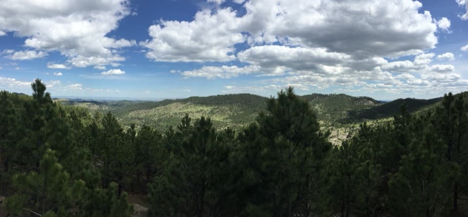 Scenic pullout · 3.2 mi awayHeddy Draw OverlookA short walk to a covered shelter and broad Black Hills views.
Parkwolf’s Custer ranking

The audio tour guide for the drive, plus offline maps, trails, and wildlife heatmaps for when the signal drops.





