Bedford Reservation All Purpose Trail in Cuyahoga Valley National Park

Cuyahoga Valley National Park, OH

Bedford Reservation All Purpose Trail

A paved, wooded 7.6-mile crossing, east to west.

Length
7.6mi
Time
3.5hr
Elev. change
184ft
Difficulty
Moderate
  • Dogs allowed
  • High point 1,017 ft
Parkwolf audio tour97 stories across Cuyahoga Valley’s roads

Overview

About Bedford Reservation All Purpose Trail

Why go

  • A continuous paved route connects wooded stretches with gorge and falls access.
  • Several parking areas make it easy to choose a shorter section.

Heads up

  • The full route is point-to-point, so it needs a pickup or a second car.
  • Some sections run near roads and share the pavement with cyclists and skaters.

Map & elevation

The route

Loading the Cuyahoga Valley map
Full map
Elevation833–1,017 ft
TrailheadHawthorn Parkway at Richmond Road41.37549, -81.48903
Keep this map with you offline in the Parkwolf app

Plan your hike

Before you go

Parking

The eastern end starts at the parking access off Hawthorn Parkway just west of Richmond Road. The western end reaches Alexander Road just west of Dunham Road. Egbert Picnic Area, Bridal Veil Falls and Tinker’s Creek Gorge Overlook also have parking for shorter outings. Arrange a pickup or second vehicle for the full one-way route.


Safety

This is a shared route used by cyclists and inline skaters, with some road-adjacent stretches and highway underpasses. Cleveland Metroparks rules require dogs and cats to stay on a leash no longer than eight feet, and owners must remove pet waste.

3 active Cuyahoga Valley alerts

  • ClosureTowpath Trail improvement closureThe Ohio & Erie Canal Towpath Trail from Boston Trailhead to Lock 29 in Peninsula is closed for improvements during the August 24–November 20, 2026 closure period.Official details
  • CautionCuyahoga River paddling closure and hazardsPaddlers must portage the current river-wide closure near river mile 17 and avoid serious river hazards. - The closure is due to bridge demolition and construction.Official details
See all 3 alerts
A park ranger sits on a dash-mounted phone, talking, as Parkwolf’s Tour Guide plays “Army Cutworm Moths: A Grizzly Bear Buffet” on Grand Loop Road below Dunraven Pass in Yellowstone
Parkwolf Tour GuideThe highest, rockiest slopes around here are a summer buffet for grizzly bears.

Cuyahoga Valley Tour Guide

Your drive to Bedford Reservation All Purpose Trail, narrated.

Parkwolf is a GPS audio tour guide for Cuyahoga Valley National Park. As you drive, it chimes in with what’s ahead: hidden gems, upcoming stops, history, geology, and wildlife, right through your car’s speakers.

More stories near here in the app

  • Shawnee Hills Golf Course
  • Great Falls and Viaduct Park
  • Egbert Picnic Area and Gorge Trail
  • Bridal Veil Falls
  • 97 audio storiesacross Cuyahoga Valley’s roads, triggered by GPS as you drive
  • Wildlife heatmapsfor Bald Eagle, River Otter, Coyote, and 13 more
  • Works offlinemaps, 63 trails, 88 places, and audio download before you lose signal
  • CarPlay readysimple controls built for the drive
★★★★★
“Fantastic app with many points of information… It’s great to just turn on while you’re driving and it gives you an audio tour of the national Park. We love it!!!!”
JMJamesApp Store review
Download Parkwolf on the App StoreGet Parkwolf on Google Play

4.7 from 8,600+ ratings

Trail guide

Hiking Bedford Reservation All Purpose Trail

A paved crossing, not a loopBedford Reservation All Purpose Trail is a 7.

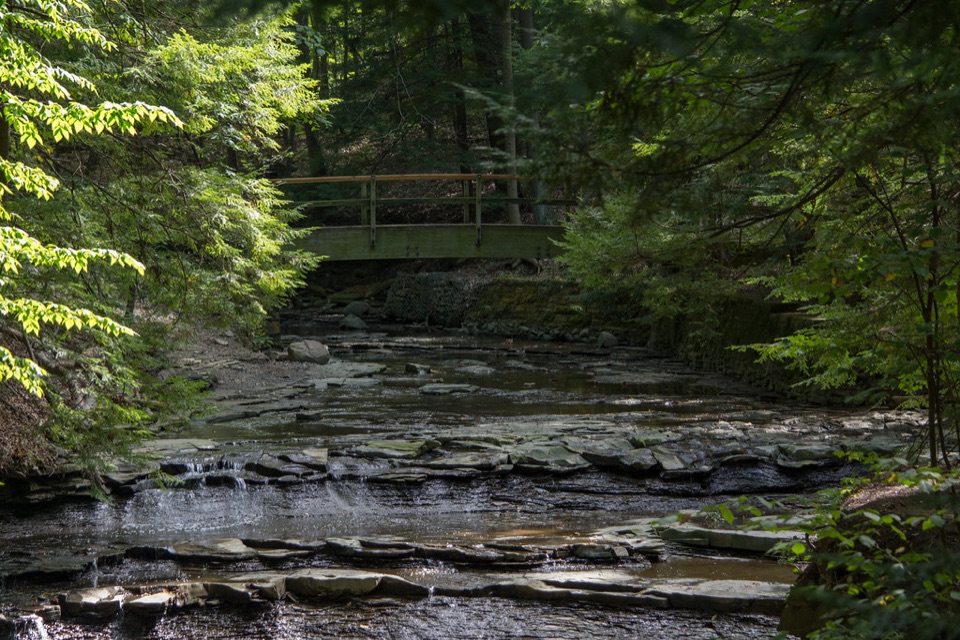
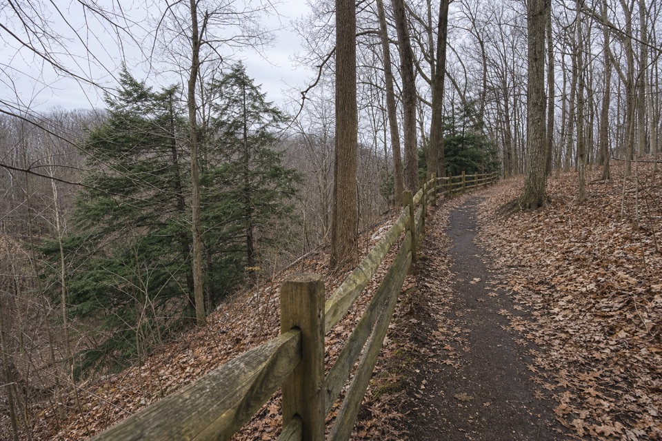
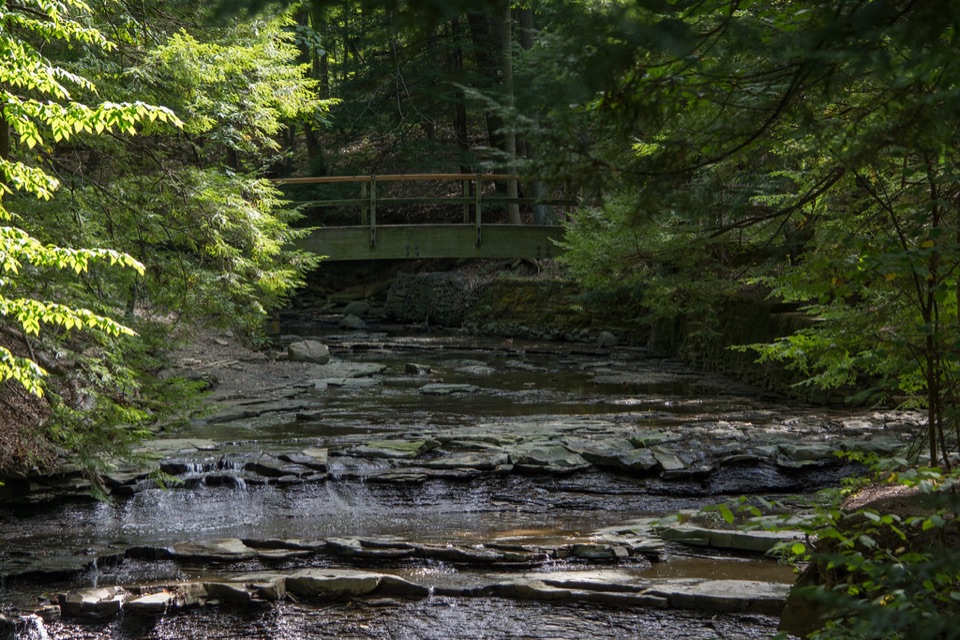
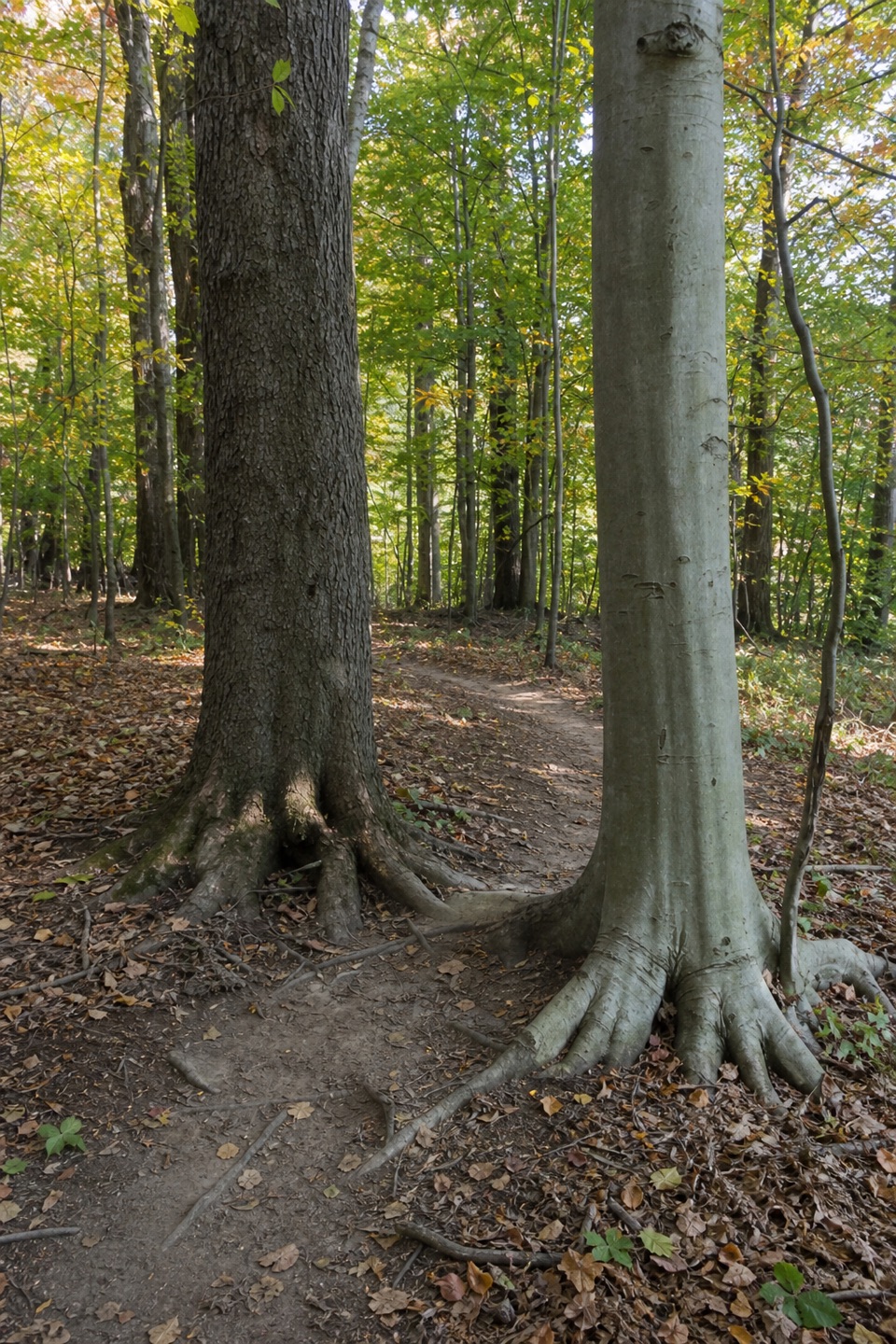
Bedford Reservation All Purpose Trail is a 7.6-mile east-to-west point-to-point route, not a loop. The paved shared-use path runs from the Hawthorn Parkway access just west of Richmond Road to Alexander Road just west of Dunham Road, through long wooded stretches with occasional glimpses of Tinker’s Creek. Walking the full line takes about 3½ hours before longer stops; arrange a pickup or second car because the ends are miles apart.

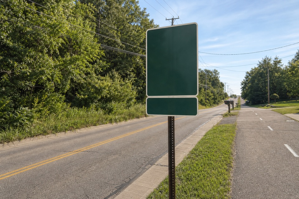
How the route unfoldsThe eastern stretch follows Hawthorn Parkway with trees between you and the road.

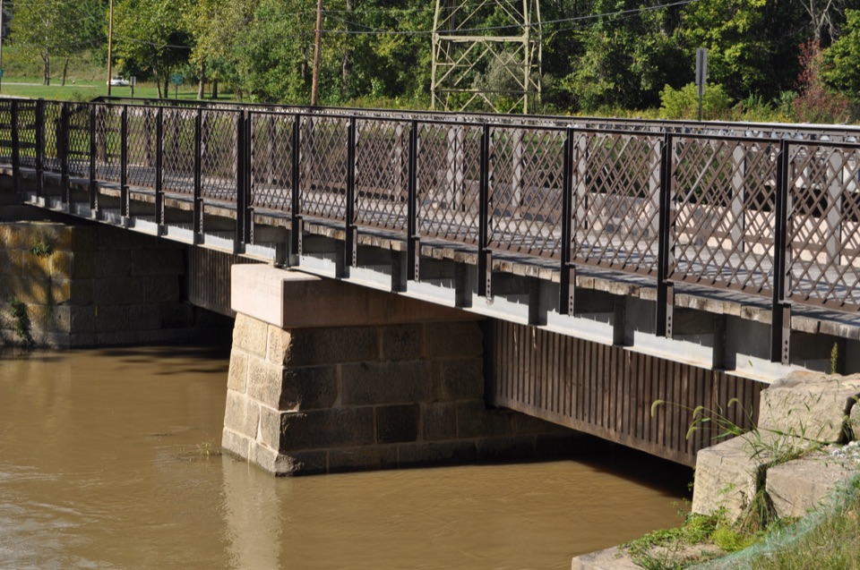
The eastern stretch follows Hawthorn Parkway with trees between you and the road. Just over a mile in, the trail passes beneath I-480, then later under OH 8. After Union Street it briefly parallels Egbert Road before following Gorge Parkway west. It is paved, but expect a few short hills and road-adjacent sections. Bicycles, runners and inline skaters share the path.

Save time for the gorgeNear the western end, the route brings you to access for Bridal Veil Falls and Tinker’s Creek…

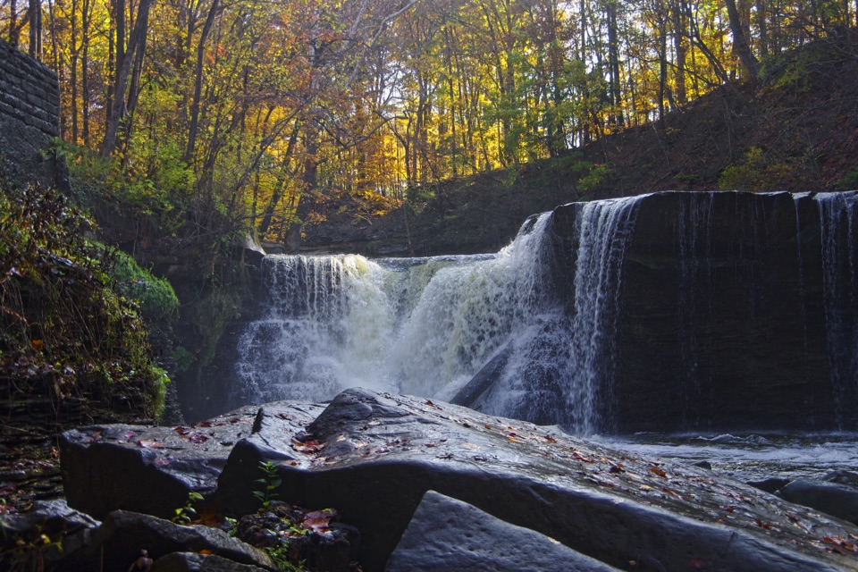
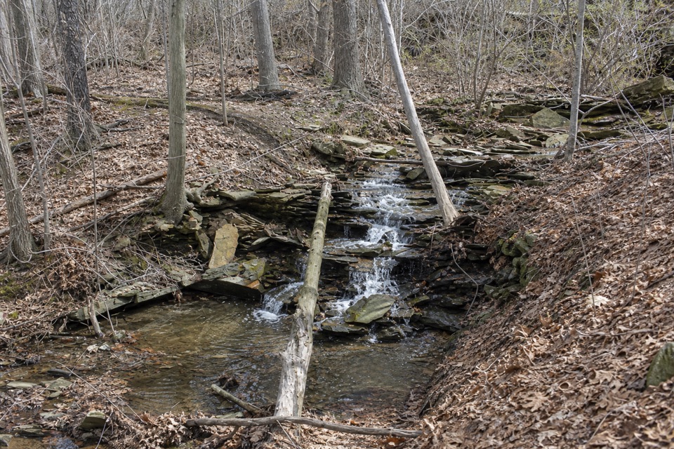
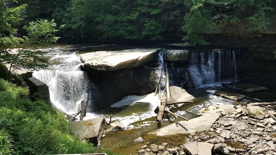
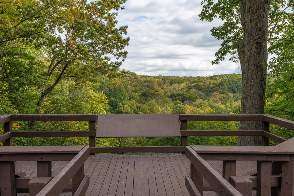
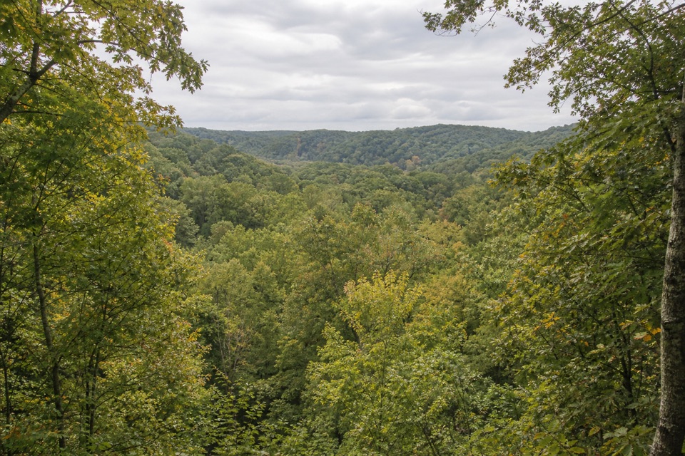
Near the western end, the route brings you to access for Bridal Veil Falls and Tinker’s Creek Gorge Scenic Overlook. They are short approaches off the main paved line, so leave extra time for them. Bridal Veil Falls is reached beside Deerlick Creek, down a boardwalk and steps; the gorge overlook is the wider wooded-valley view. Tinker’s Creek carved a National Natural Landmark gorge, dropping 220 feet over two miles. At the overlook, use a wide phone frame and keep the tree canopy at the edge to show the valley’s depth.

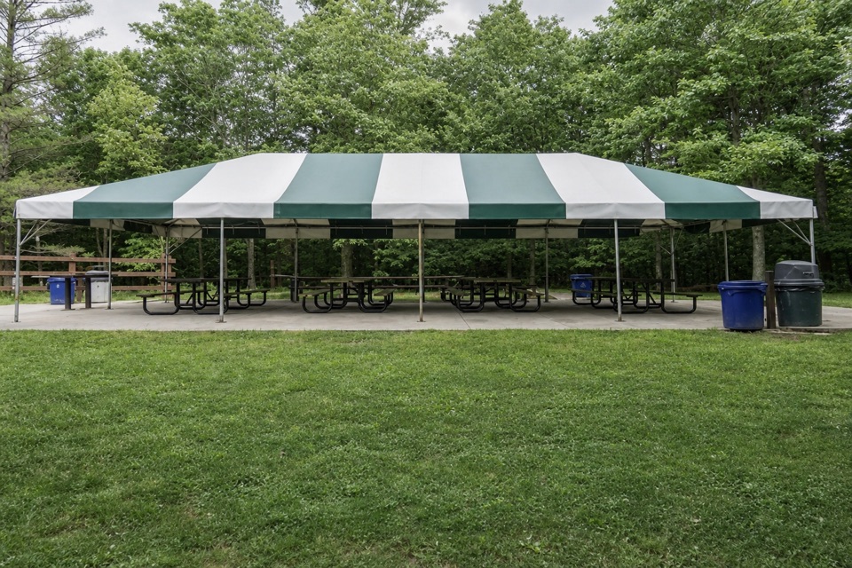
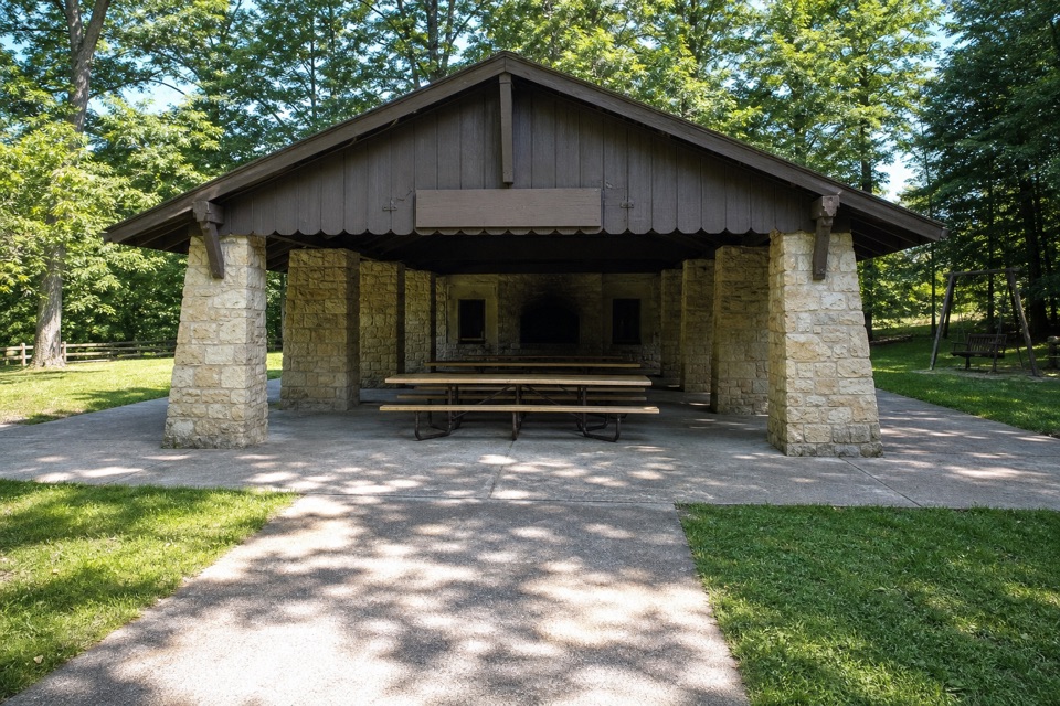
Breaks, food and dogsEgbert Picnic Area lies along the western portion, with restrooms and picnic shelters.

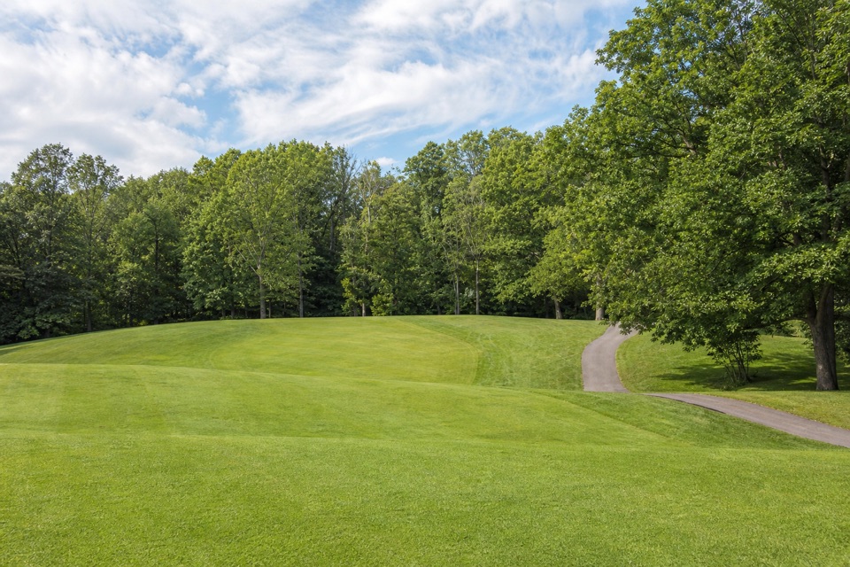
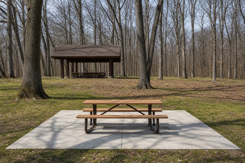
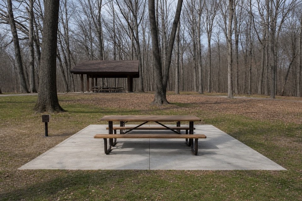
Egbert Picnic Area lies along the western portion, with restrooms and picnic shelters. The Double Bogey Grille at Shawnee Hills Golf Course is a separate nearby stop serving concession-style fare such as burgers, hot dogs, chicken tenders and fries. Dogs and cats are allowed on the all-purpose trail; keep them leashed to eight feet or less and pick up waste.

Wildlife

Wildlife in Cuyahoga Valley

All Cuyahoga Valley wildlife maps

Sighting maps show where each species has been reported across Cuyahoga Valley. Wildlife moves, so no sighting is guaranteed.

Keep exploring

Near Bedford Reservation All Purpose Trail

See it all on the map

Trails that start nearby

Places near the trailhead

Parkwolf’s Cuyahoga Valley ranking

Top-rated trails in Cuyahoga Valley

All 63 trails
  1. 1Ledges TrailModerate · 1.8 mi
  2. 2Brandywine Gorge LoopModerate · 1.4 mi
  3. 3Blue Hen Falls TrailModerate · 3 mi
  4. 4Beaver Marsh WalkEasy · 0.6 mi
  5. 5Ohio & Erie Canal Towpath TrailModerate · 19.8 mi
  6. 6Stanford TrailModerate · 3.5 mi

Take Parkwolf to Cuyahoga Valley.

The audio tour guide for the drive, plus offline maps, trails, and wildlife heatmaps for when the signal drops.

4.7 from 8,600+ ratings

Download Parkwolf on the App StoreGet Parkwolf on Google Play