1 active Cuyahoga Valley alert
- ClosureCuyahoga River closure and paddling hazardsDo not paddle through the river-mile-17 closure or the woody-debris hazard upstream of Lock 39.Official details
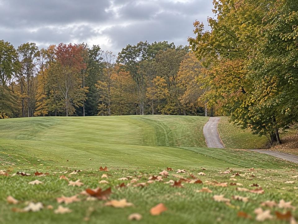
Sight · Cuyahoga Valley National Park
Play a full round or take the beginner-friendly nine-hole option.
Overview
Map
Plan your stop

The highest, rockiest slopes around here are a summer buffet for grizzly bears.
Cuyahoga Valley Tour Guide
Parkwolf is a GPS audio tour guide for Cuyahoga Valley National Park. As you drive, it chimes in with what’s ahead: hidden gems, upcoming stops, history, geology, and wildlife, right through your car’s speakers.
See the Cuyahoga Valley audio tourRecorded for this place
Shawnee Hills Golf Course“Shawnee Hills Golf Course is ahead, with a full eighteen-hole course and a separate, beginner-friendly par three. Choose the par three for a shorter game, or allow about four and a half hours for eighteen.”
Plays as you drive up to Shawnee Hills Golf Course in the Parkwolf Cuyahoga Valley Tour Guide.
More stories near here in the app
“Fantastic app with many points of information… It’s great to just turn on while you’re driving and it gives you an audio tour of the national Park. We love it!!!!”


Guide
Shawnee Hills Golf Course is a public golf complex in Bedford Reservation: an 18-hole regulation course plus a separate 9-hole par-3 course, with a lighted driving range. The par 3 is a shorter, beginner-friendly way to play; for the full experience, take on all 18. Plan on about 2¼ hours for nine holes or 4½ for eighteen at the course's pace targets. Club rentals and lessons are available, and a Solorider single-rider cart can help golfers who need mobility assistance; the operator recommends reserving one ahead.
The front nine rolls gently and brings water hazards into play. The back nine gets hillier beneath pines, maples and oaks, following Deer Lick Creek. That shift gives an 18-hole round a natural second act. Hole 4 is the standout challenge: a 469-yard, uphill, tree-lined dogleg left that plays as a par 4.
Local architect Ben Zink designed the original 18 holes in 1957. In 1989 the course expanded to 27 holes; only four holes of the original nine-hole regulation layout remain intact. The descent from the 10th green to the 11th tee crosses land that belonged to the Egbert family homestead. Their farmhouse stood here in the 1840s, and the tombstone of their three-year-old daughter Hannah, who died in 1843, is still visible nearby.
The illuminated range has mats and target mounds for a practice stop beyond the round itself. In the clubhouse, the Double Bogey Grille serves casual concession-style food—burgers, hot dogs, chicken tenders and fries—with indoor seating. It's a convenient meal around a day of golf rather than a reason to make a separate food stop.
Wildlife
 321 sightingsBald EagleMost seen around 7 AMSighting map
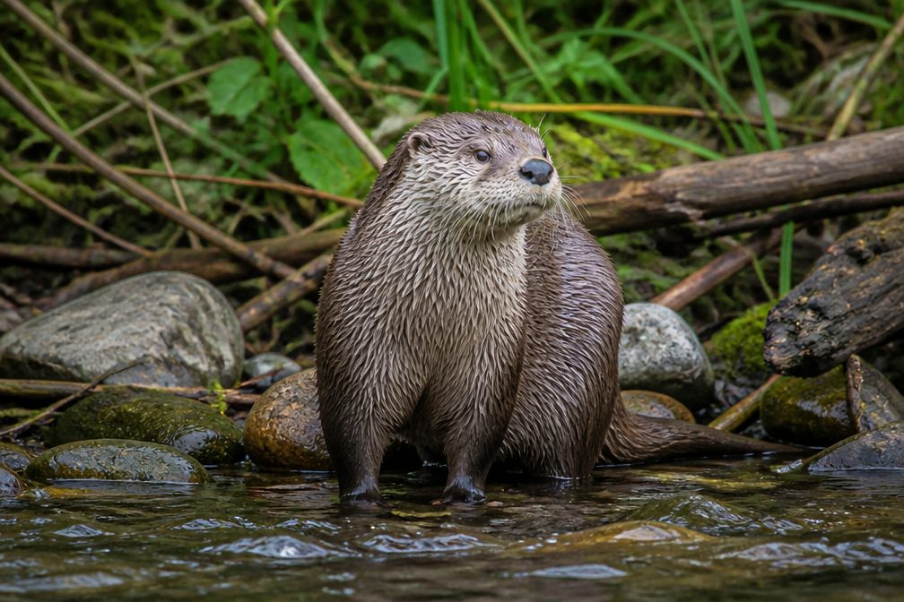 12 sightingsRiver OtterMost seen around 7 AMSighting map
 103 sightingsCoyoteMost seen around 7 PMSighting map
 251 sightingsBeaverMost seen around 8 PMSighting map
 498 sightingsWhite-tailed DeerMost seen around 6 AMSighting map
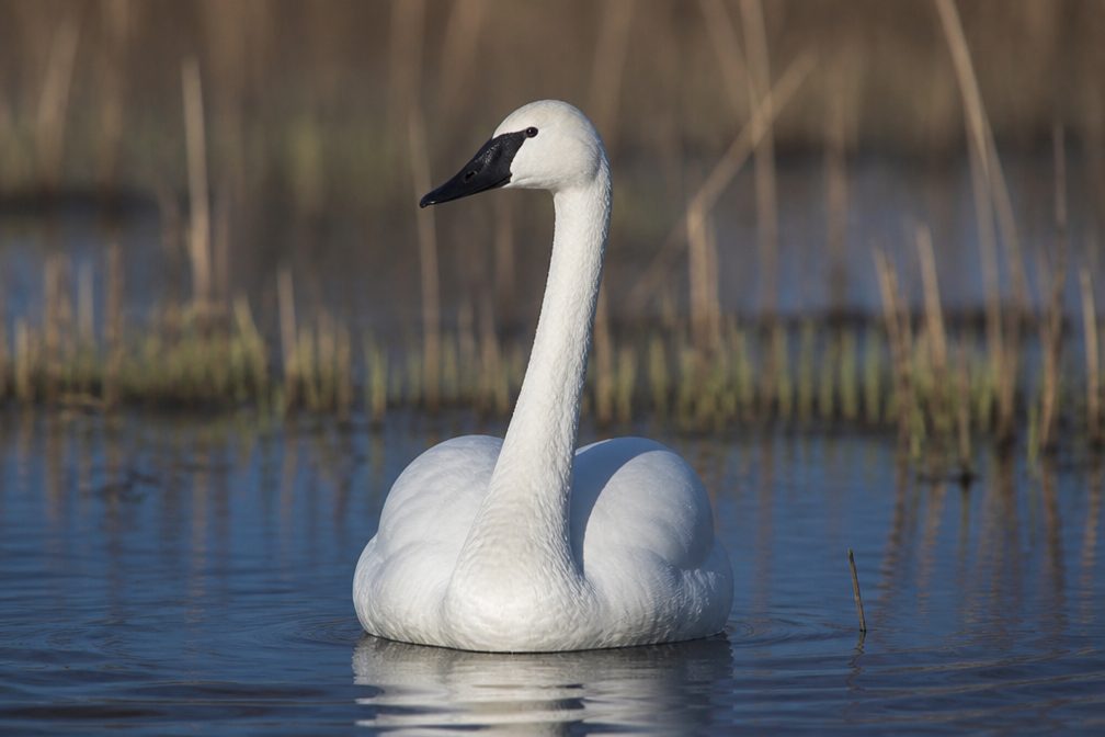 104 sightingsTrumpeter SwanMost seen around 5 PMSighting map
Sighting maps show where each species has been reported across Cuyahoga Valley. Wildlife moves, so no sighting is guaranteed.
Keep exploring
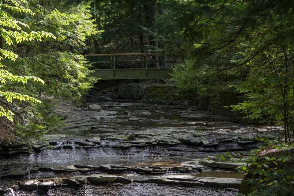 ModerateTinker's Creek Gorge Trail5.5 mi · 3 hr · 0.4 mi awayA wooded out-and-back that ends at falls and a gorge overlook.
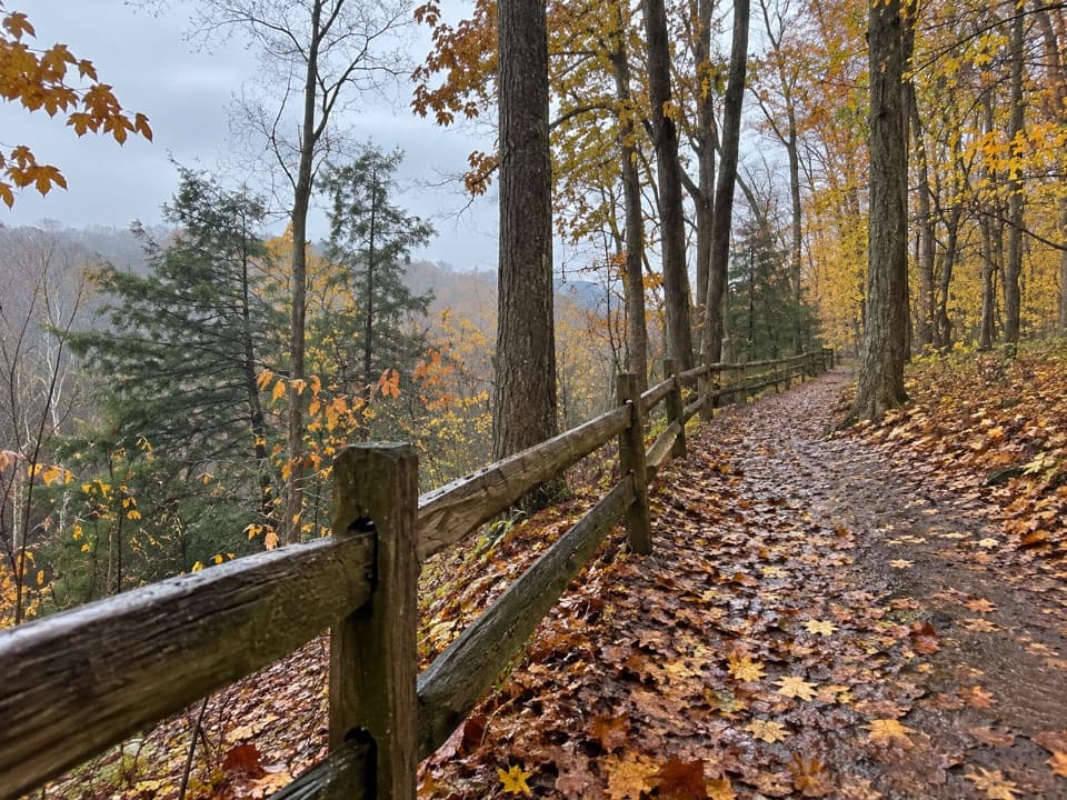 EasyEgbert Loop Trail0.3 mi · 15 min · 0.4 mi awayA short wooded path above the gorge, best walked out and back.
 EasyViaduct Park Loop0.4 mi · 18 min · 0.5 mi awayA short gorge loop with Great Falls views and mill history.
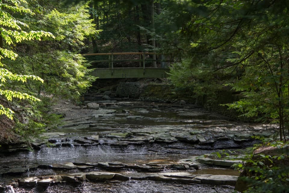 EasyBridal Veil Falls Walk0.3 mi · 18 min · 0.9 mi awayA short stairway walk to a low cascade in a wooded gorge.
 EasyForbes Woods Ridge Trail0.3 mi · 15 min · 1.7 mi awayA quarter-mile paved loop circles a wooded ravine.
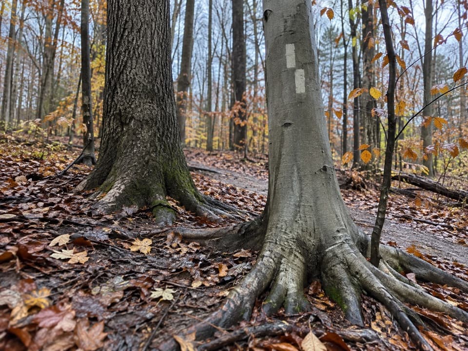 ModerateBedford Singletrack Loop11.5 mi · 5.5 hr · 2 mi awayA long forest circuit linked by one-way singletrack and paved paths.
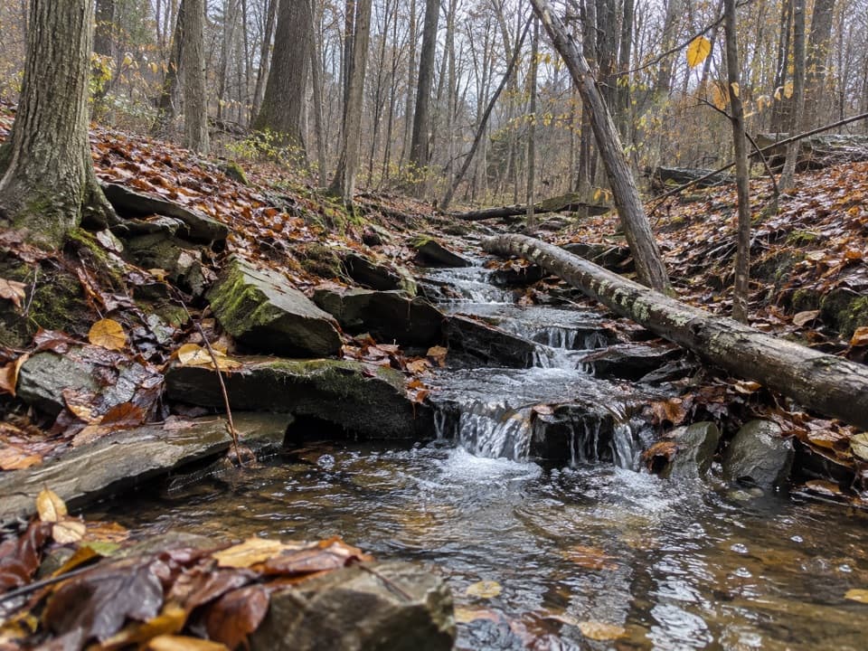 ModerateSagamore Creek Loop3.6 mi · 2 hr · 2.3 mi awayTwo seasonal falls reward a steep walk through the gorge.
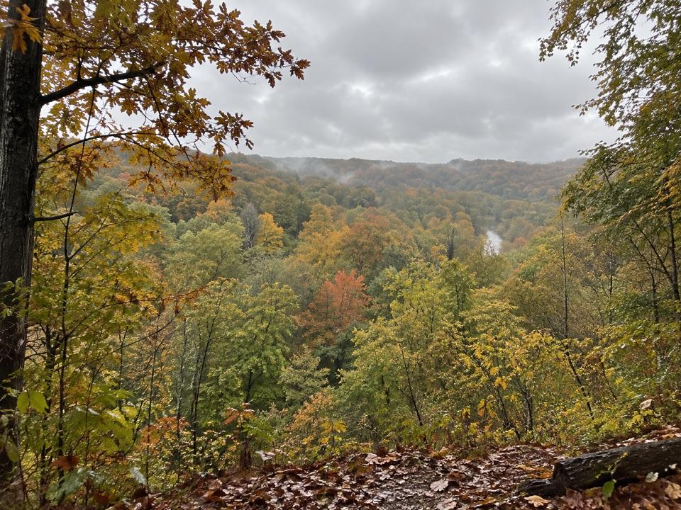 ModerateBedford Reservation All Purpose Trail7.6 mi · 3.5 hr · 2.4 mi awayA paved, wooded 7.6-mile crossing, east to west.
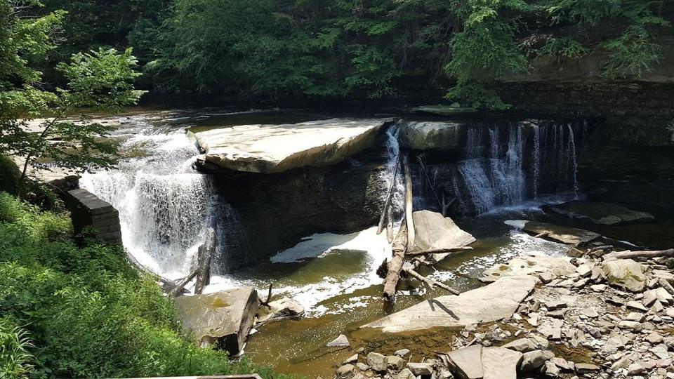 Sight · 0.4 mi awayGreat Falls of Tinker's CreekA waterfall with a tunnel, a railroad viaduct, and mill ruins.
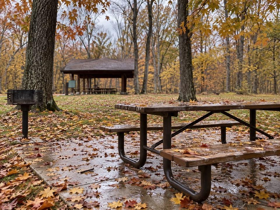 Picnic area · 0.5 mi awayEgbert Picnic AreaA wooded picnic base with trails leading into Tinker's Creek country.
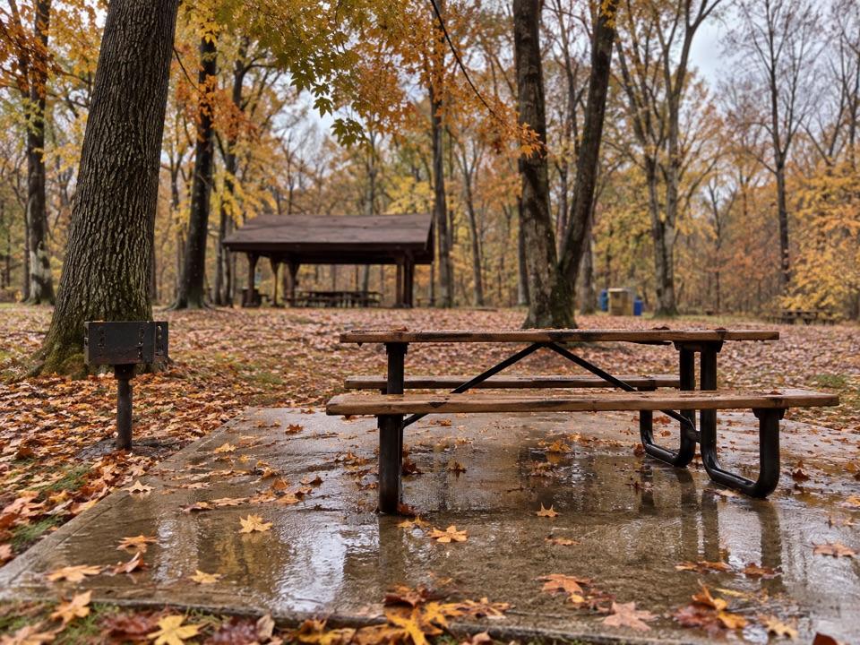 Sight · 0.6 mi awayLittle OverlookA short woodland walk to a view over Tinker's Creek Valley.
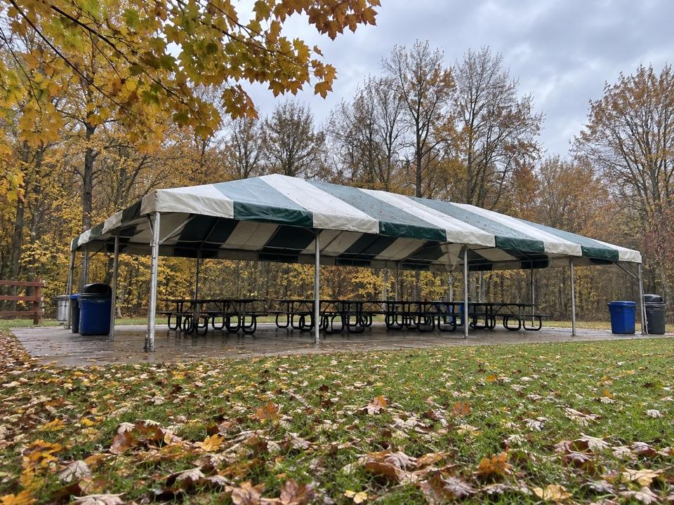 Picnic area · 0.8 mi awayLost Meadows Picnic AreaA 20-by-40-foot canopy gives group picnics room to spread out.Sight · 0.8 mi awayBridal Veil FallsA wooded cascade reached by boardwalk and a steep stair climb.
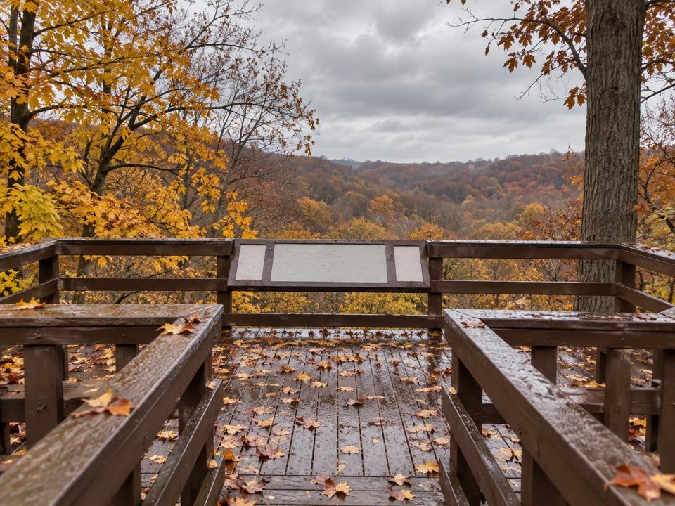 Sight · 1.2 mi awayTinker's Creek Gorge Scenic OverlookA quick gorge view, best when the leaves are down.
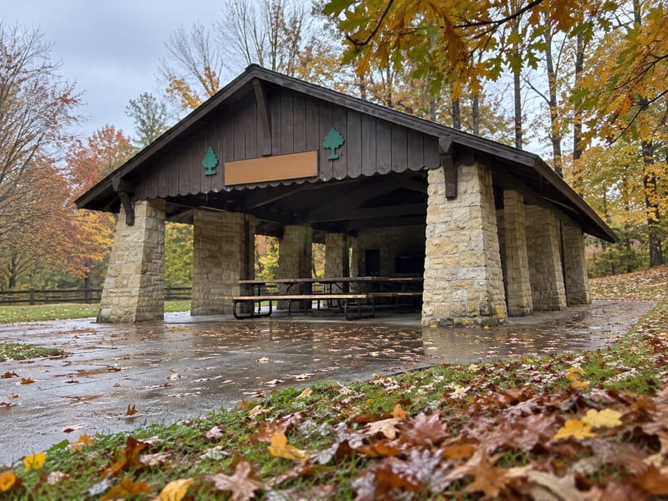 Picnic area · 1.9 mi awayHermit’s Hollow Picnic AreaA family picnic shelter with a wood-burning fireplace.
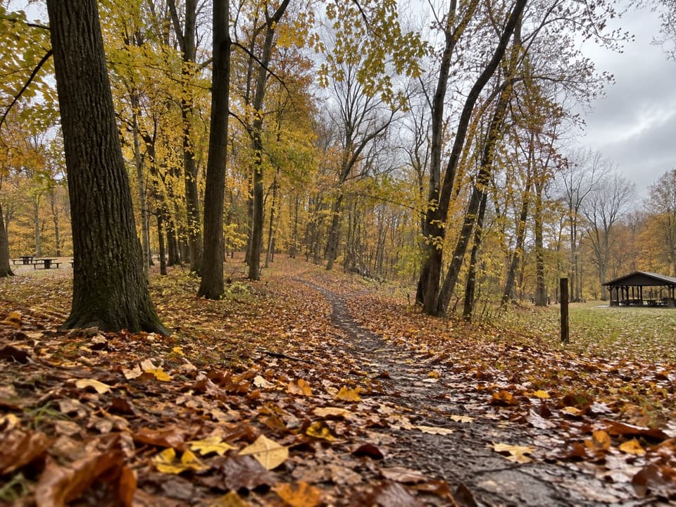 Picnic area · 2 mi awayHemlock Creek Picnic AreaShelter, grills and trails make this an easy picnic stop.
Parkwolf’s Cuyahoga Valley ranking

The audio tour guide for the drive, plus offline maps, trails, and wildlife heatmaps for when the signal drops.