Parking
Small lot at Forbes Woods Trailhead, 24820 Forbes Road, Bedford Heights.
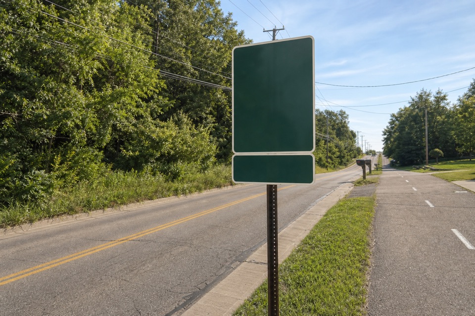
Cuyahoga Valley National Park, OH
A quarter-mile paved loop circles a wooded ravine.
Overview
Map & elevation
Plan your hike

The highest, rockiest slopes around here are a summer buffet for grizzly bears.
Cuyahoga Valley Tour Guide
Parkwolf is a GPS audio tour guide for Cuyahoga Valley National Park. As you drive, it chimes in with what’s ahead: hidden gems, upcoming stops, history, geology, and wildlife, right through your car’s speakers.
Recorded for this area
Shawnee Hills Golf Course“Shawnee Hills Golf Course is ahead, with a full eighteen-hole course and a separate, beginner-friendly par three. Choose the par three for a shorter game, or allow about four and a half hours for eighteen.”
Plays on the road 1.7 mi from the trailhead in the Parkwolf Cuyahoga Valley Tour Guide.
More stories near here in the app
“Fantastic app with many points of information… It’s great to just turn on while you’re driving and it gives you an audio tour of the national Park. We love it!!!!”


Trail guide
Forbes Woods Ridge Trail is an easy quarter-mile paved loop in Bedford Reservation. It circles a reclaimed natural area with views into a wooded ravine and an overlook bench. Allow about 15–20 minutes with a pause; this is a quick leg-stretcher rather than a substantial hike.
Start at Forbes Woods Trailhead and stay on the paved all-purpose loop back to the lot. The short circuit is rated easy. Leashed dogs and cats are allowed, with a leash no longer than eight feet; owners must pick up after them.
Forbes Crossing branches from the paved access and continues toward Hawthorn Parkway on a separate one-mile natural-surface route. Its wetland boardwalks and stream footbridges belong to that longer walk, not this loop. Choose it if you want more distance and a less paved outing.
The 52.8-acre Forbes farmstead was a dairy farm around 1852. Today the short loop’s main appeal is the wooded ravine and the bench at its overlook.
Use the small trailhead lot at 24820 Forbes Road in Bedford Heights. No toilets, drinking water, or food are listed at the trailhead or on the loop.
Wildlife
 319 sightingsBald EagleMost seen around 7 AMSighting map
 12 sightingsRiver OtterMost seen around 7 AMSighting map
 103 sightingsCoyoteMost seen around 7 PMSighting map
 248 sightingsBeaverMost seen around 8 PMSighting map
 492 sightingsWhite-tailed DeerMost seen around 6 AMSighting map
 99 sightingsTrumpeter SwanMost seen around 5 PMSighting map
Sighting maps show where each species has been reported across Cuyahoga Valley. Wildlife moves, so no sighting is guaranteed.
Keep exploring
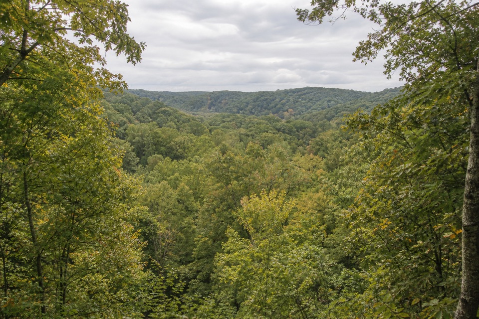 ModerateBedford Reservation All Purpose Trail7.6 mi · 3.5 hr · 0.8 mi awayA paved, wooded 7.6-mile crossing, east to west.
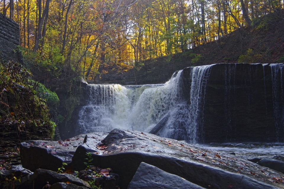 EasyViaduct Park Loop0.4 mi · 18 min · 1.8 mi awayA short gorge loop with Great Falls views and mill history.
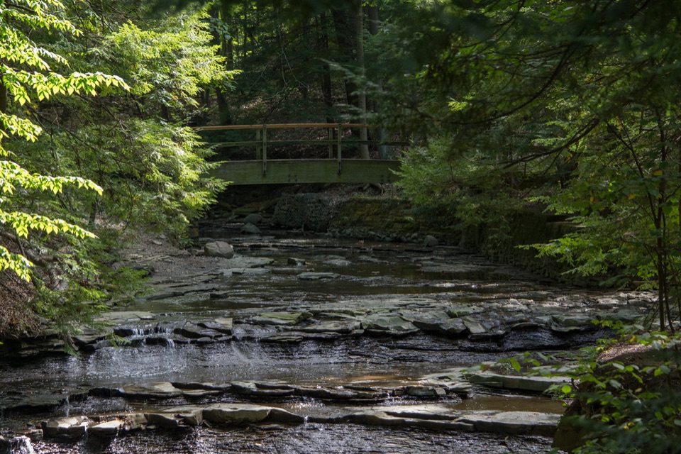 ModerateTinker's Creek Gorge Trail5.5 mi · 3 hr · 2 mi awayA wooded out-and-back that ends at falls and a gorge overlook.
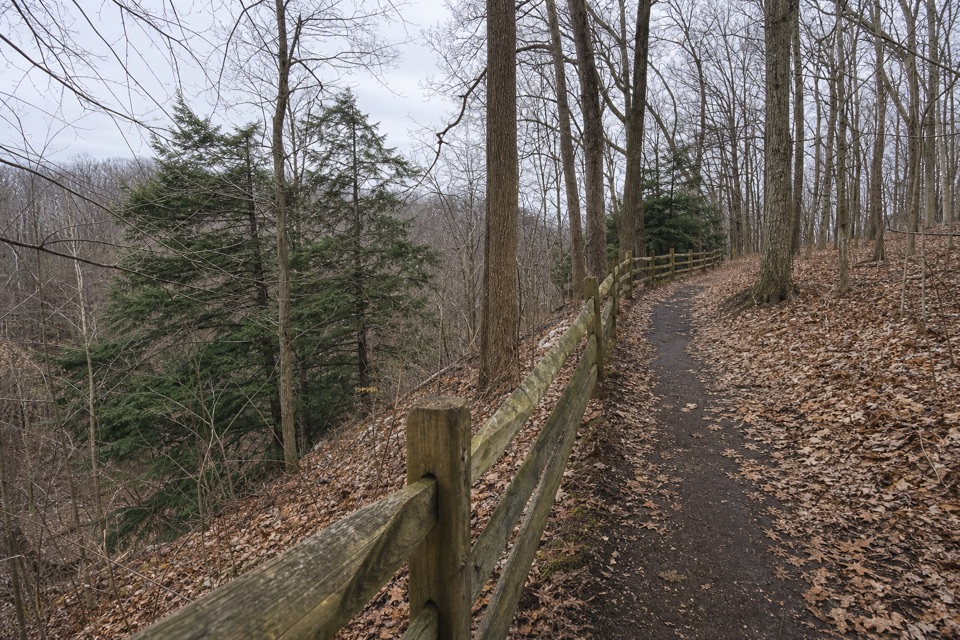 EasyEgbert Loop Trail0.3 mi · 15 min · 2 mi awayA short wooded path above the gorge, best walked out and back.
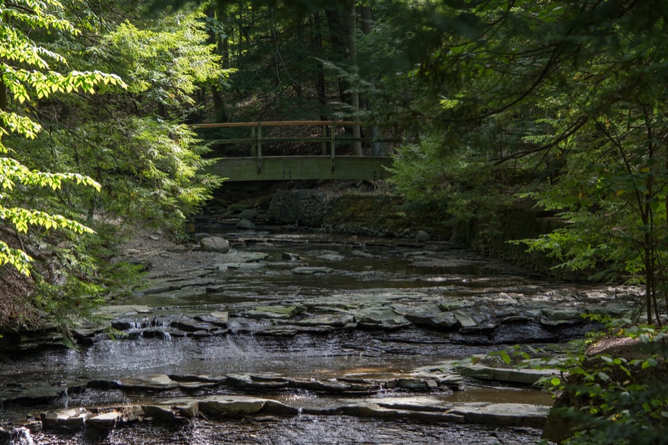 EasyBridal Veil Falls Walk0.3 mi · 18 min · 2.3 mi awayA short stairway walk to a low cascade in a wooded gorge.
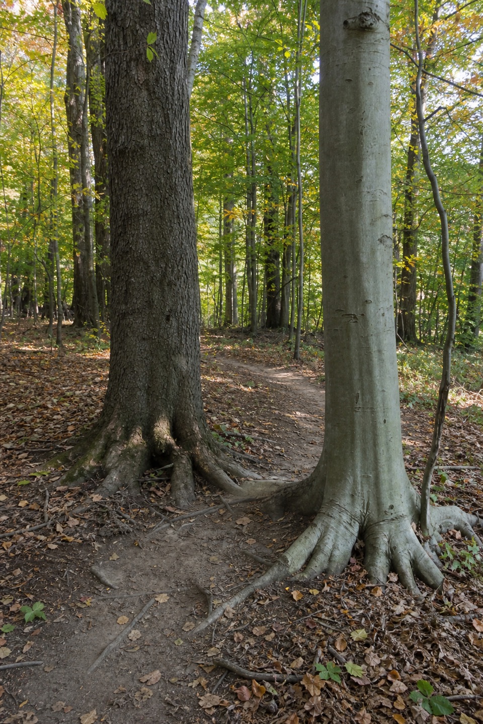 ModerateBedford Singletrack Loop11.5 mi · 5.5 hr · 3.2 mi awayA long forest circuit linked by one-way singletrack and paved paths.
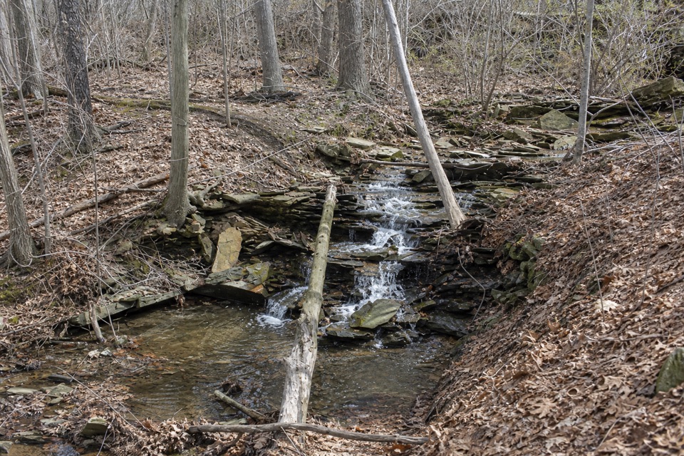 ModerateSagamore Creek Loop3.6 mi · 2 hr · 3.5 mi awayTwo seasonal falls reward a steep walk through the gorge.
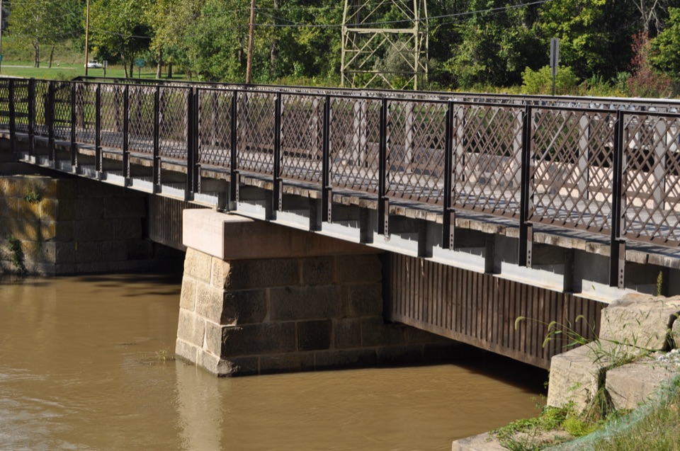 EasyCanal Exploration Center to Tinkers Creek Aqueduct Walk1.3 mi · 45 min · 5.6 mi awayA short canal walk past Lock 38 to Tinkers Creek Aqueduct.
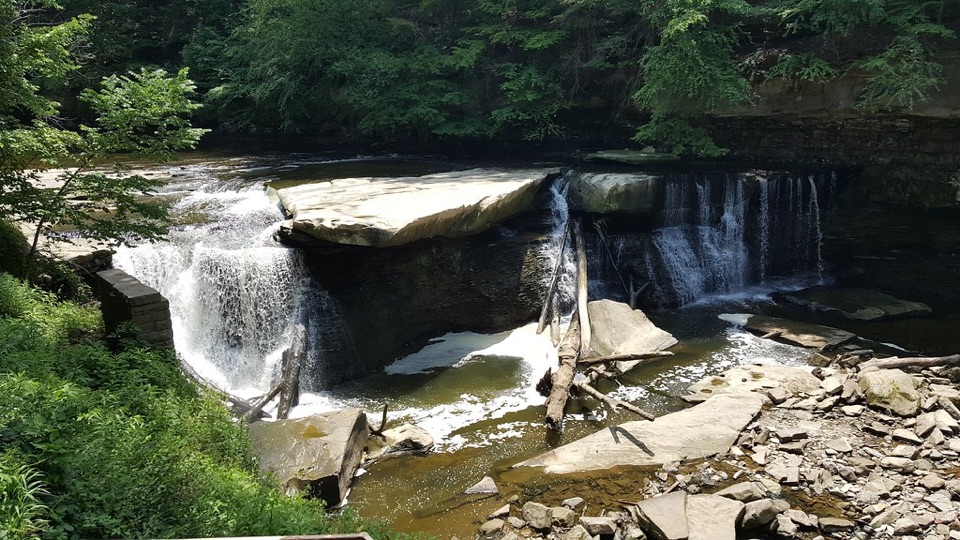 Sight · 1.6 mi awayGreat Falls of Tinker's CreekA waterfall with a tunnel, a railroad viaduct, and mill ruins.
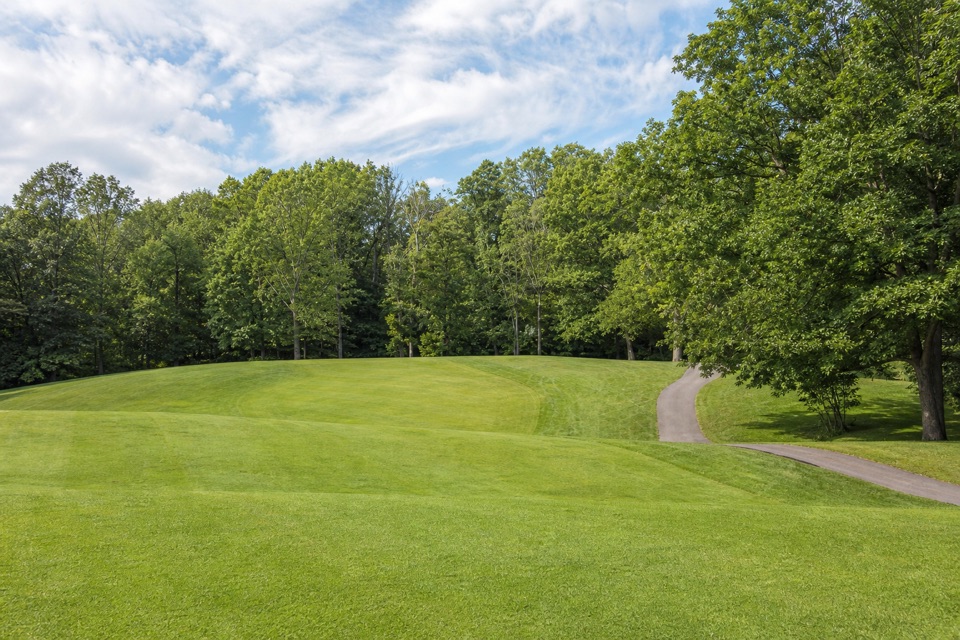 Sight · 1.7 mi awayShawnee Hills Golf CoursePlay a full round or take the beginner-friendly nine-hole option.
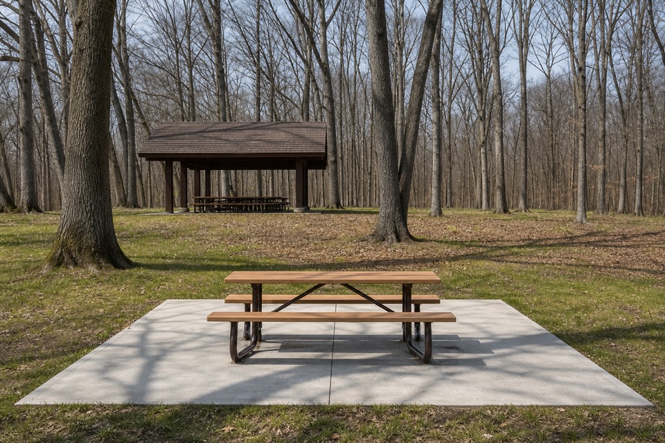 Picnic area · 2 mi awayEgbert Picnic AreaA wooded picnic base with trails leading into Tinker's Creek country.
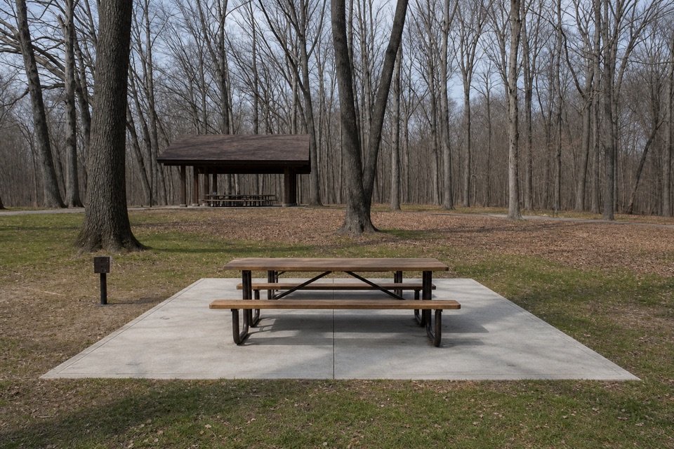 Sight · 2.3 mi awayLittle OverlookA short woodland walk to a view over Tinker's Creek Valley.Sight · 2.3 mi awayBridal Veil FallsA wooded cascade reached by boardwalk and a steep stair climb.
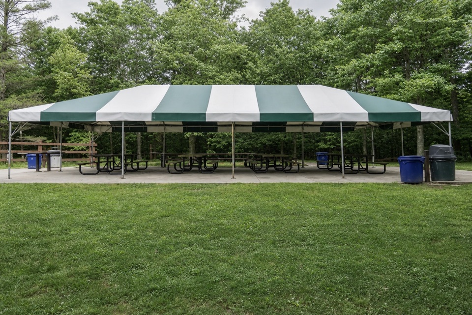 Picnic area · 2.5 mi awayLost Meadows Picnic AreaA 20-by-40-foot canopy gives group picnics room to spread out.
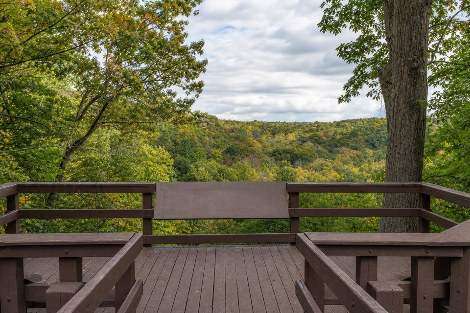 Sight · 2.8 mi awayTinker's Creek Gorge Scenic OverlookA quick gorge view, best when the leaves are down.
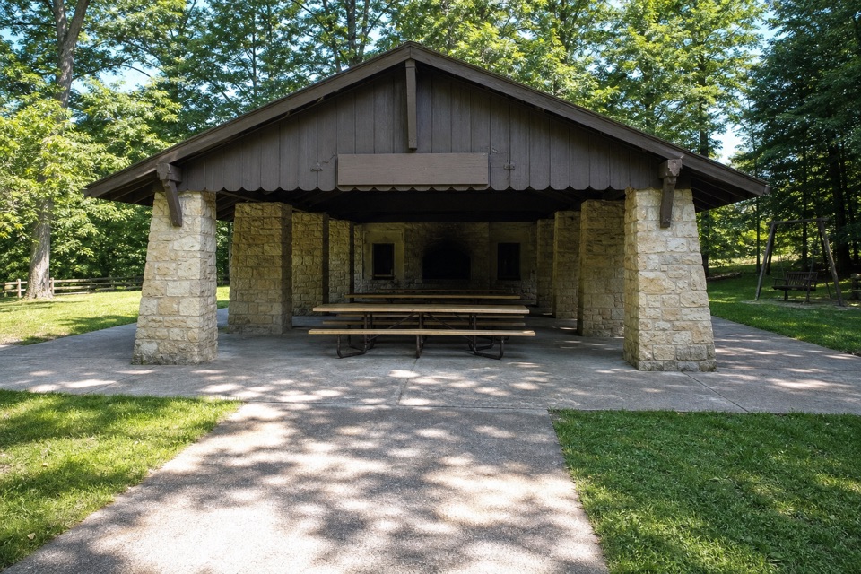 Picnic area · 3.5 mi awayHermit’s Hollow Picnic AreaA family picnic shelter with a wood-burning fireplace.
Parkwolf’s Cuyahoga Valley ranking

The audio tour guide for the drive, plus offline maps, trails, and wildlife heatmaps for when the signal drops.





