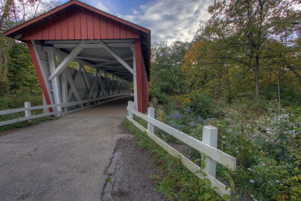
Getting there
The site is off Gorge Parkway between Dunham and Egbert roads in Walton Hills. It's listed for up to 48 people, with 30 shared parking spaces, so coordinate rides for a large gathering.
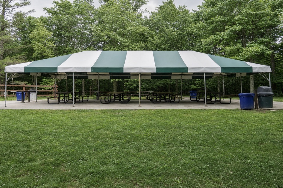
Picnic area · Cuyahoga Valley National Park
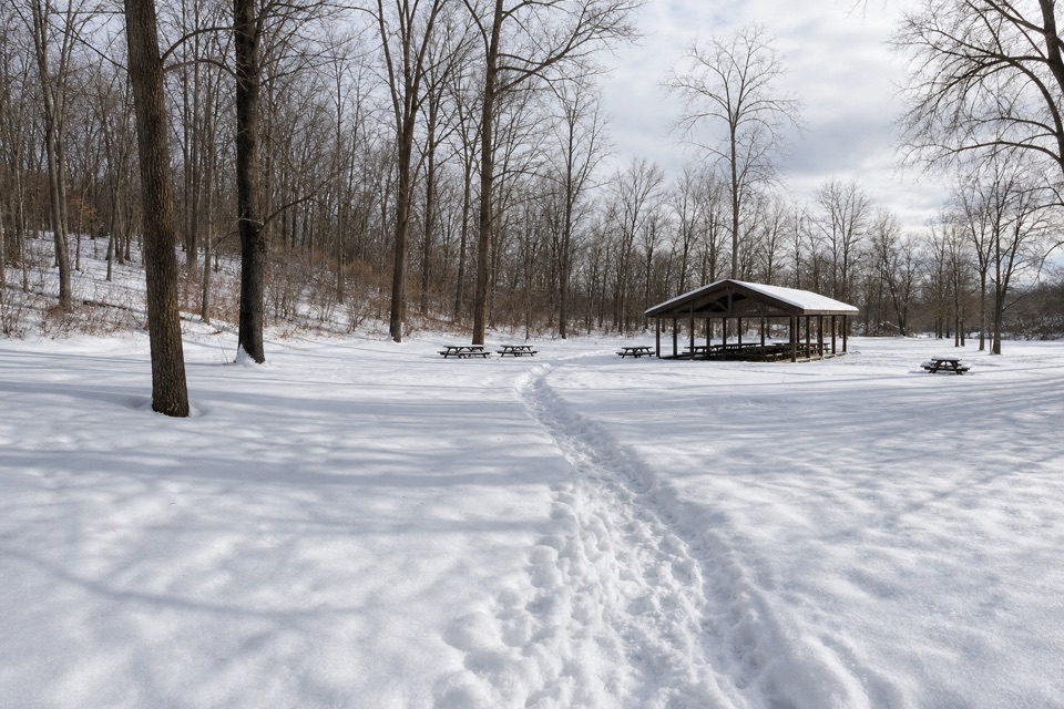
A 20-by-40-foot canopy gives group picnics room to spread out.
Overview
Map
Plan your stop

The highest, rockiest slopes around here are a summer buffet for grizzly bears.
Cuyahoga Valley Tour Guide
Parkwolf is a GPS audio tour guide for Cuyahoga Valley National Park. As you drive, it chimes in with what’s ahead: hidden gems, upcoming stops, history, geology, and wildlife, right through your car’s speakers.
Recorded for this area
Tinker's Creek Gorge Overlook“You're coming up on Tinker's Creek Gorge Scenic Overlook, an easy roadside stop above a steep, wooded valley. Tinkers Creek drops two hundred and twenty feet in just two miles through this gorge.”
Plays on the road 0.4 mi from Lost Meadows Picnic Area in the Parkwolf Cuyahoga Valley Tour Guide.
More stories near here in the app
“Fantastic app with many points of information… It’s great to just turn on while you’re driving and it gives you an audio tour of the national Park. We love it!!!!”


Guide
Lost Meadows Picnic Area is a reservable group picnic site in Bedford Reservation, a Cleveland Metroparks unit within Cuyahoga Valley National Park. Its main feature is a 20-by-40-foot canopy in a wooded clearing. It suits a family picnic, birthday or group meal; check the booking details before counting on an unplanned stop. Reservations are listed June through September, while walk-in use when no event is booked isn't clearly explained.
The canopy shelters four 12-foot picnic tables; three have an ADA position. Two more 12-foot tables and an 8-foot table sit outside. The site also has grills, a play area, a swing set, fire pit, sand-volleyball court and horseshoe pit. Water and restrooms are listed, but drinking-water status and restroom type aren't specified. Plan to bring your meal; the site is set up for picnicking.
Wildlife
 319 sightingsBald EagleMost seen around 7 AMSighting map
 12 sightingsRiver OtterMost seen around 7 AMSighting map
 103 sightingsCoyoteMost seen around 7 PMSighting map
 248 sightingsBeaverMost seen around 8 PMSighting map
 492 sightingsWhite-tailed DeerMost seen around 6 AMSighting map
 99 sightingsTrumpeter SwanMost seen around 5 PMSighting map
Sighting maps show where each species has been reported across Cuyahoga Valley. Wildlife moves, so no sighting is guaranteed.
Keep exploring
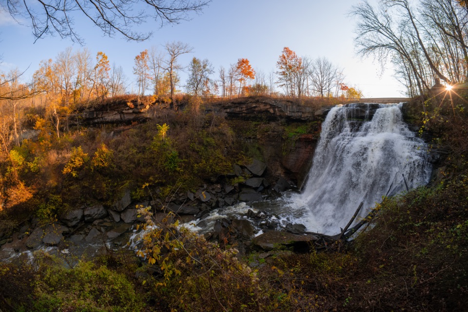
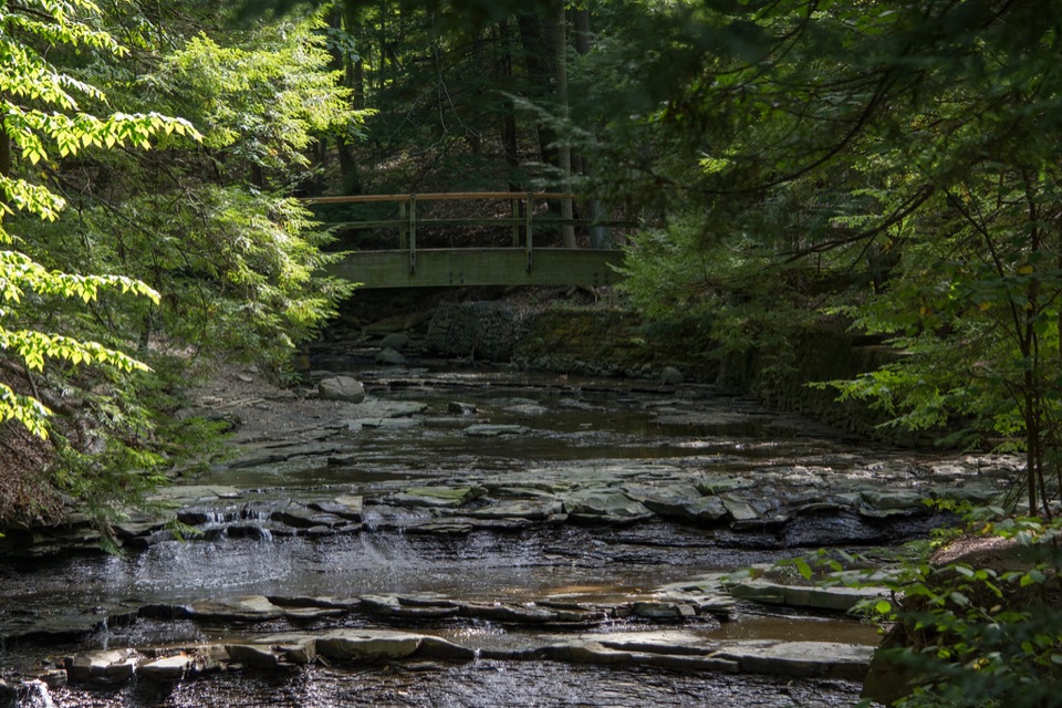 EasyBridal Veil Falls Walk0.3 mi · 18 min · 0.5 mi awayA short stairway walk to a low cascade in a wooded gorge.
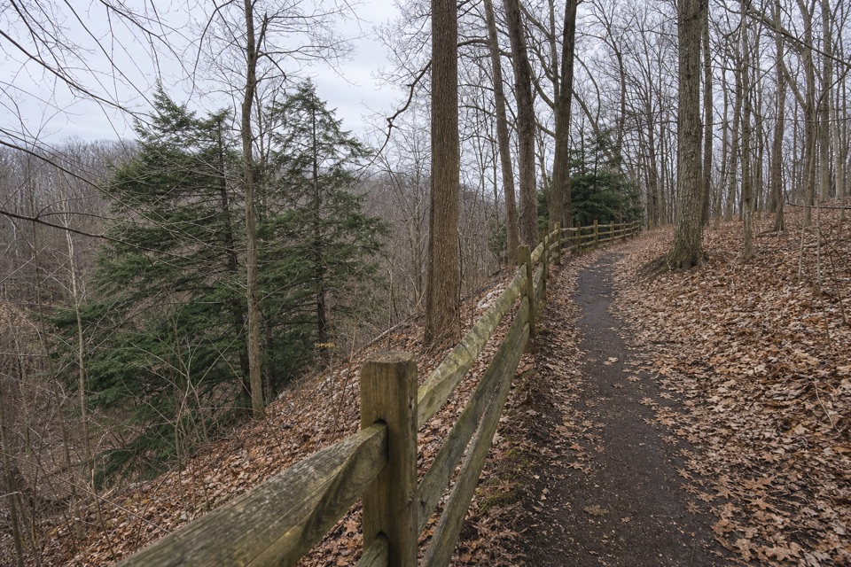 EasyEgbert Loop Trail0.3 mi · 15 min · 0.7 mi awayA short wooded path above the gorge, best walked out and back.
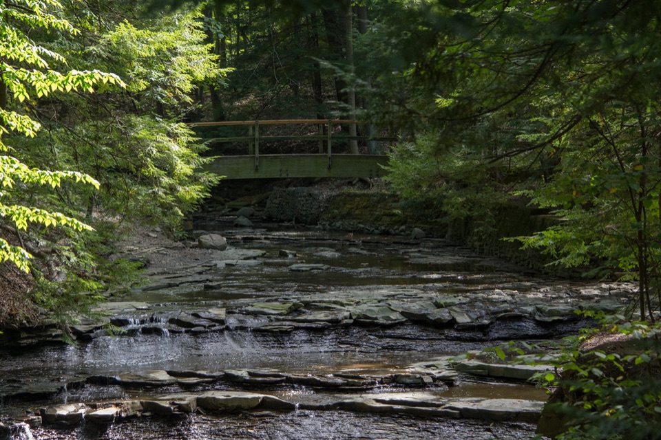 ModerateTinker's Creek Gorge Trail5.5 mi · 3 hr · 0.7 mi awayA wooded out-and-back that ends at falls and a gorge overlook.
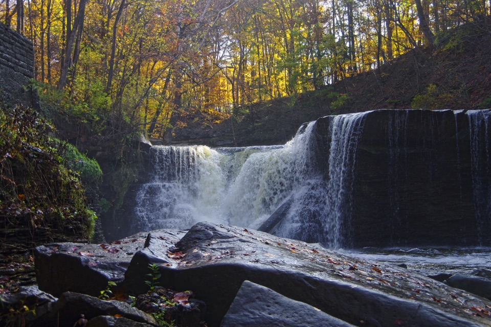 EasyViaduct Park Loop0.4 mi · 18 min · 1 mi awayA short gorge loop with Great Falls views and mill history.
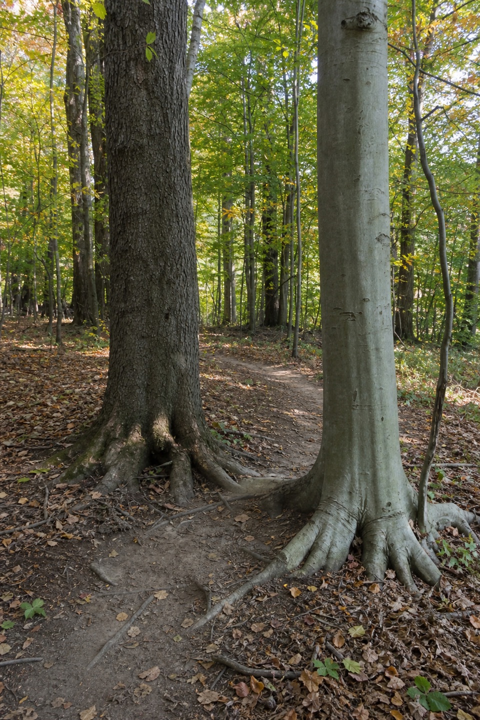 ModerateBedford Singletrack Loop11.5 mi · 5.5 hr · 1.5 mi awayA long forest circuit linked by one-way singletrack and paved paths.
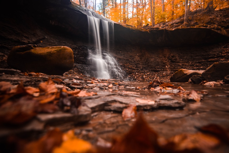
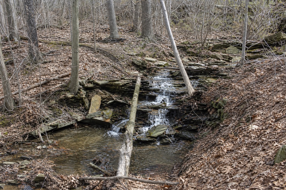 ModerateSagamore Creek Loop3.6 mi · 2 hr · 1.7 mi awayTwo seasonal falls reward a steep walk through the gorge.
 EasyForbes Woods Ridge Trail0.3 mi · 15 min · 2.5 mi awayA quarter-mile paved loop circles a wooded ravine.
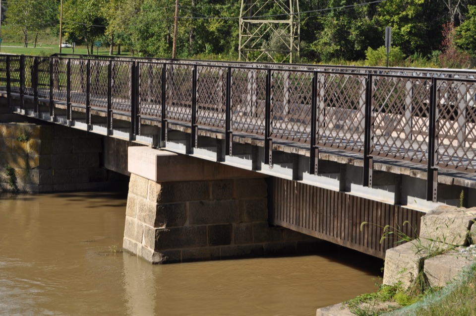 EasyCanal Exploration Center to Tinkers Creek Aqueduct Walk1.3 mi · 45 min · 3.2 mi awayA short canal walk past Lock 38 to Tinkers Creek Aqueduct.
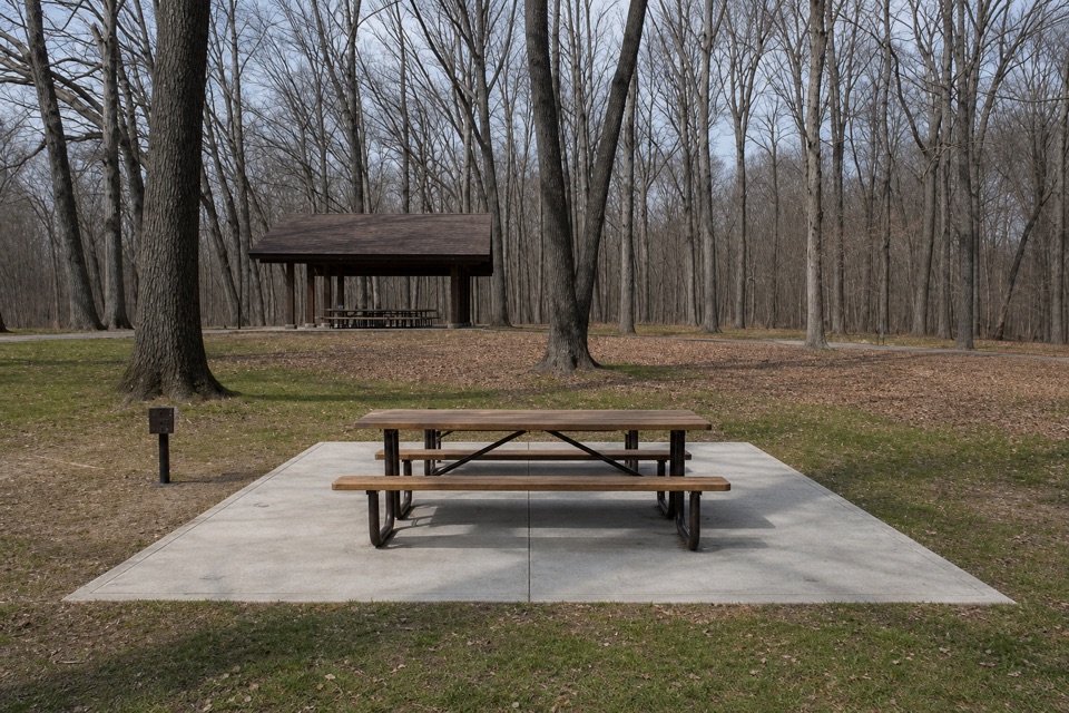 Sight · 0.4 mi awayLittle OverlookA short woodland walk to a view over Tinker's Creek Valley.
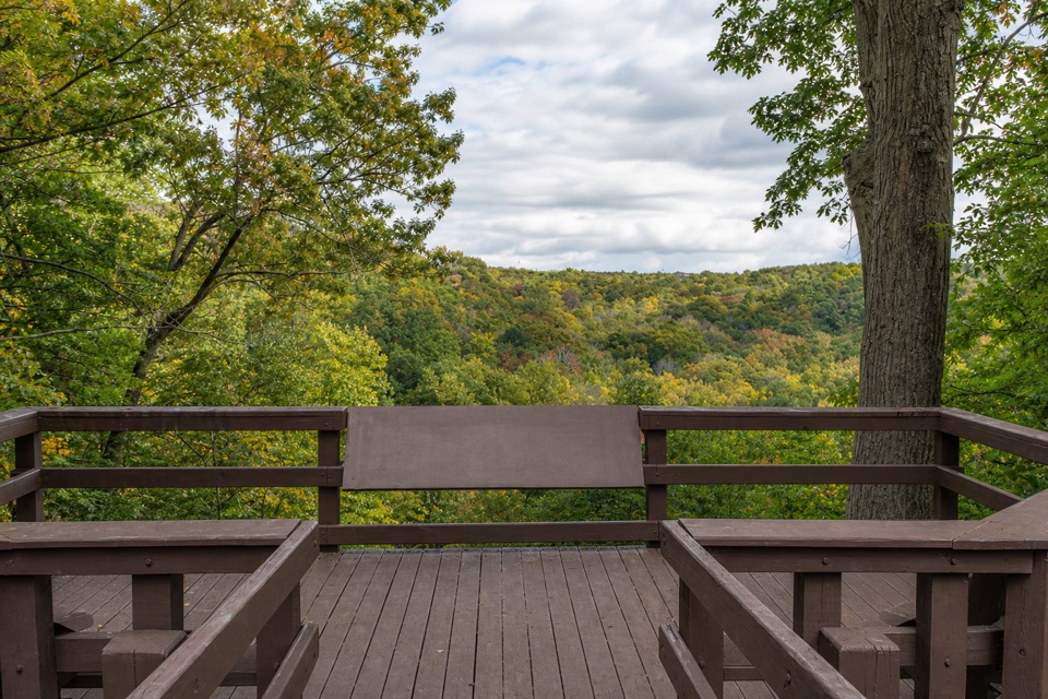 Sight · 0.4 mi awayTinker's Creek Gorge Scenic OverlookA quick gorge view, best when the leaves are down.Sight · 0.4 mi awayBridal Veil FallsA wooded cascade reached by boardwalk and a steep stair climb.
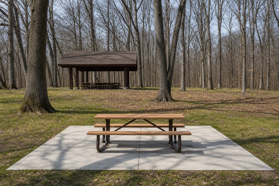 Picnic area · 0.7 mi awayEgbert Picnic AreaA wooded picnic base with trails leading into Tinker's Creek country.
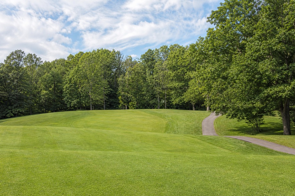 Sight · 0.8 mi awayShawnee Hills Golf CoursePlay a full round or take the beginner-friendly nine-hole option.
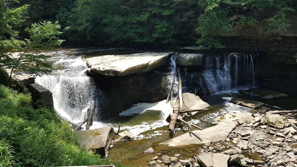 Sight · 1 mi awayGreat Falls of Tinker's CreekA waterfall with a tunnel, a railroad viaduct, and mill ruins.
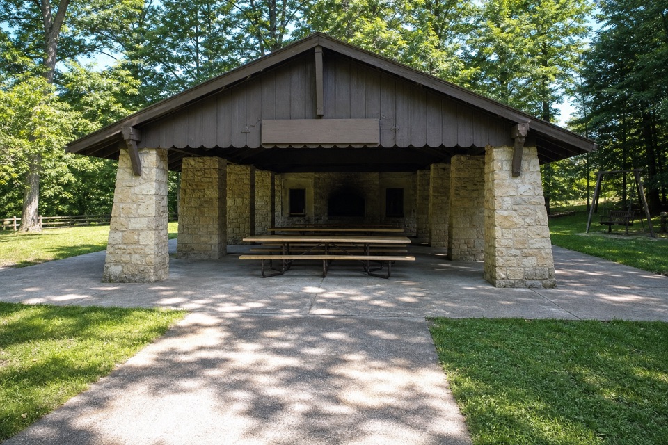 Picnic area · 1.1 mi awayHermit’s Hollow Picnic AreaA family picnic shelter with a wood-burning fireplace.
 Picnic area · 1.2 mi awayHemlock Creek Picnic AreaShelter, grills and trails make this an easy picnic stop.
Parkwolf’s Cuyahoga Valley ranking

The audio tour guide for the drive, plus offline maps, trails, and wildlife heatmaps for when the signal drops.