Parking
Use Brandywine Falls parking area off Brandywine Road. The paved lot has 90 spaces, restrooms and no overflow parking; it often fills by 10 a.m. on pleasant days and weekends, so arrive early or later.
Cuyahoga Valley National Park, OH
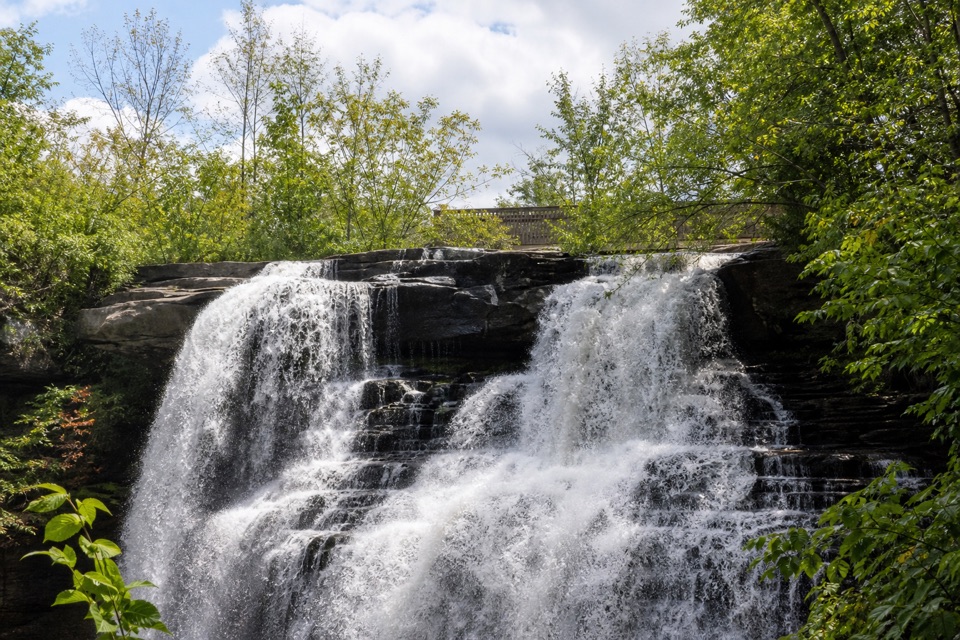
A quick, accessible boardwalk looks down on Brandywine Falls.
Overview
Map & elevation
Plan your hike

The highest, rockiest slopes around here are a summer buffet for grizzly bears.
Cuyahoga Valley Tour Guide
Parkwolf is a GPS audio tour guide for Cuyahoga Valley National Park. As you drive, it chimes in with what’s ahead: hidden gems, upcoming stops, history, geology, and wildlife, right through your car’s speakers.
Recorded for this trailhead
Brandywine Falls“You're coming up on Brandywine Falls, where a short boardwalk leads to a sixty-foot waterfall. Do this one even if you don't want a hike; about half an hour gives you time to enjoy the falls.”
Plays as you drive up to this trailhead in the Parkwolf Cuyahoga Valley Tour Guide.
More stories near here in the app
“Fantastic app with many points of information… It’s great to just turn on while you’re driving and it gives you an audio tour of the national Park. We love it!!!!”


Trail guide
Brandywine Falls Upper Boardwalk follows a paved approach and wooden boardwalk on an out-and-back of about 0.4 miles round trip from the parking area to the upper overlook. Allow about 30 minutes with a stop at the falls. It is the short choice if you want the waterfall without walking the longer gorge loop. The first overlook is wheelchair accessible. Pets are allowed on leashes no longer than six feet.
A paved approach from the lot leads onto the wooden boardwalk and to the first viewing area. From there, you look down toward the falls and into the gorge. The more direct, head-on view is from a separate lower spur with numerous steps; that spur is not part of this route. From the upper rail, frame the dark rock rim with the water so the view shows how the falls break across the ledge.
The 90-space lot has restrooms but no overflow parking, and it often fills by 10 a.m. on pleasant days and weekends. Come early or later if you want a better chance at a space.
Brandywine Creek cuts over a hard cap of Berea Sandstone and softer Bedford and Cleveland shales. Those thin shale layers break the water into the falls’ veil-like pattern. The shales began as seafloor mud roughly 350 to 400 million years ago, so the short walk gives you a close look at a very old slice of the valley.
George Wallace built a sawmill at the top of the falls in 1814. Grist and woolen mills followed, and a village grew around them. Most of Brandywine disappeared when nearby I-271 was built; the James Wallace house survives as the Inn at Brandywine Falls.
Wildlife
 319 sightingsBald EagleMost seen around 7 AMSighting map
 12 sightingsRiver OtterMost seen around 7 AMSighting map
 103 sightingsCoyoteMost seen around 7 PMSighting map
 248 sightingsBeaverMost seen around 8 PMSighting map
 492 sightingsWhite-tailed DeerMost seen around 6 AMSighting map
 99 sightingsTrumpeter SwanMost seen around 5 PMSighting map
Sighting maps show where each species has been reported across Cuyahoga Valley. Wildlife moves, so no sighting is guaranteed.
Keep exploring
 ModerateBrandywine Gorge Loop1.4 mi · 1 hr · 0.1 mi awayRocky gorge loop with a footbridge and Brandywine Falls views.
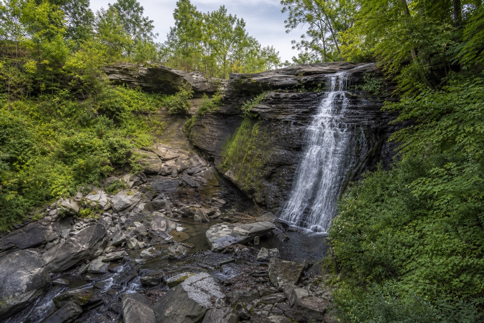 EasyBike & Hike Trail: Brandywine Falls to Boston Heights2 mi · 48 min · 0.1 mi awayAn easy paved link with a waterfall at the northern access.
 ModerateStanford Trail3.5 mi · 2.5 hr · 1 mi awayA wooden creek bridge and switchbacks lead to the falls.
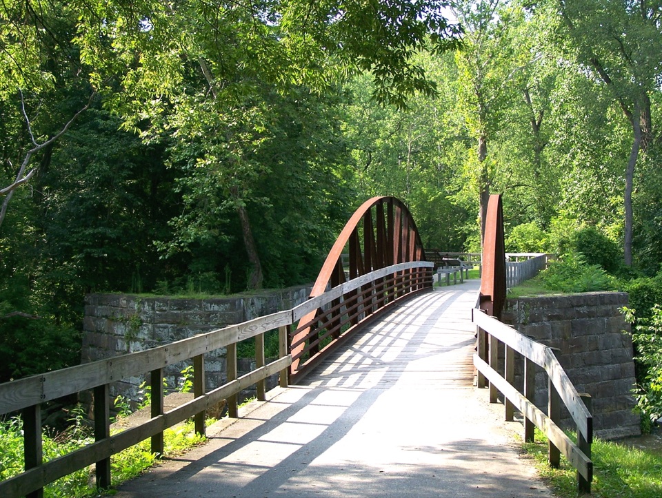 ModerateBuckeye Trail Loop7.1 mi · 4 hr · 1.3 mi awayTake the hilly Buckeye leg out and flat Towpath back.
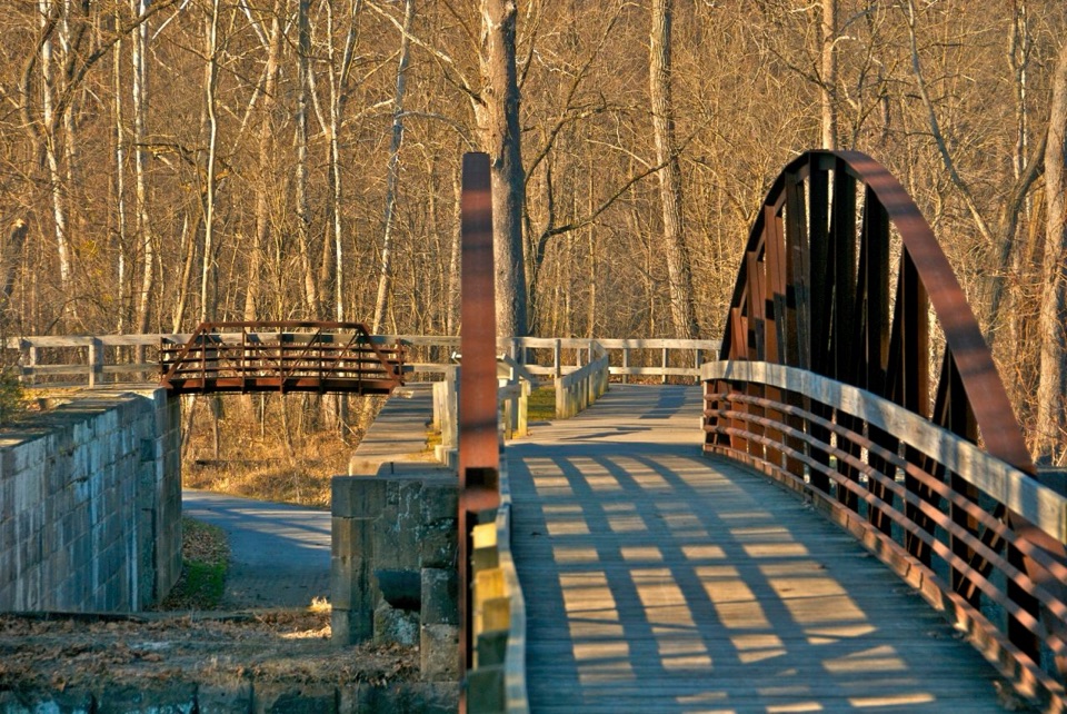 ModerateBoston to Peninsula Buckeye and Towpath Loop7.4 mi · 4 hr · 1.3 mi awayClimb wooded ravines, then coast back beside the historic canal.
 ModerateBlue Hen Falls Trail3 mi · 1.5 hr · 1.5 mi awayA steep Buckeye Trail climb ends at a 15-foot waterfall.
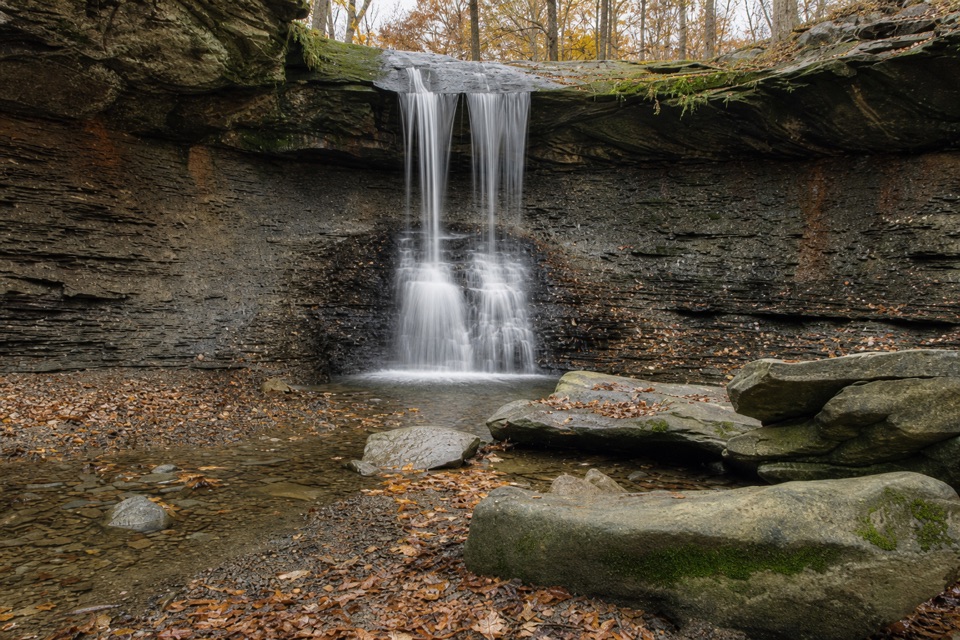 ModerateButtermilk Falls via Blue Hen Falls3.5 mi · 2.5 hr · 1.5 mi awayTwo waterfalls, steep ridges, and a rough creekside finish.
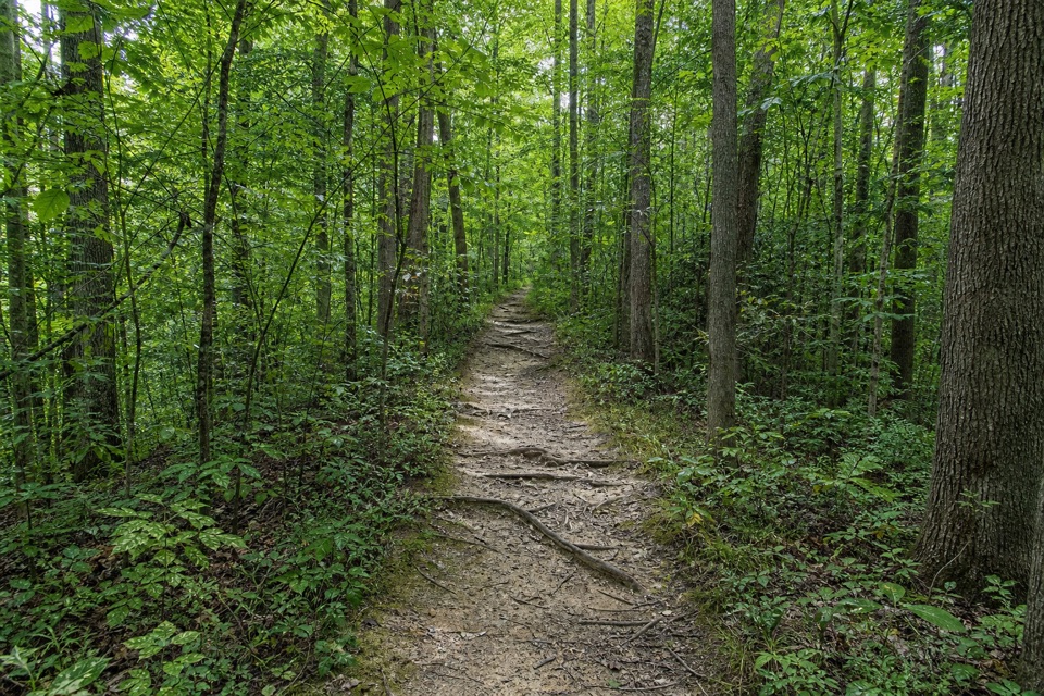 ModerateWildlife Woods Trail0.8 mi · 45 min · 1.5 mi awayA short, rooty climb with a longer trail loop nearby.
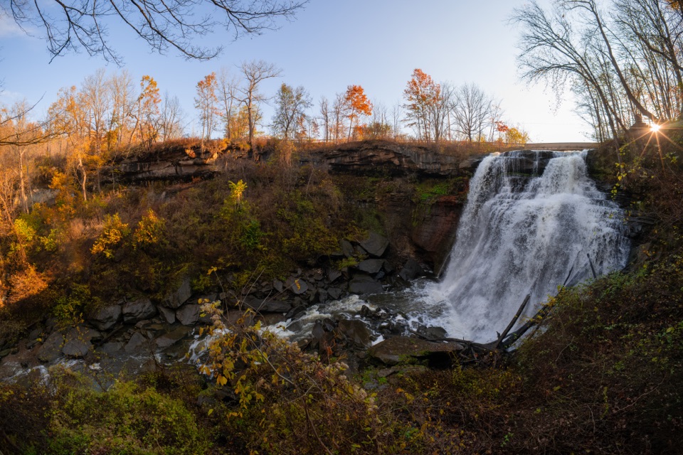 Sight · 0.1 mi awayBrandywine FallsA short boardwalk reveals a 60-foot waterfall and wooded gorge.
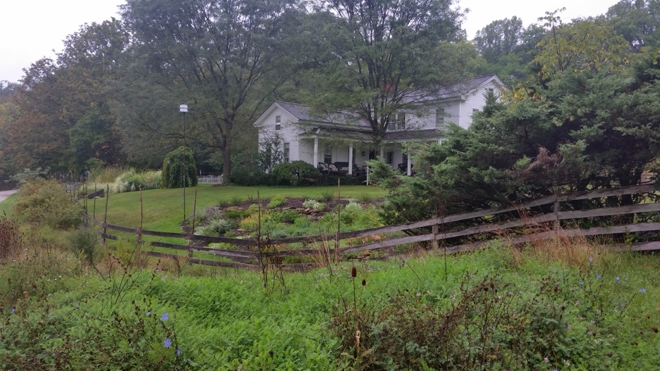 Lodging · 0.1 mi awayThe Inn at Brandywine FallsA historic B&B puts Brandywine Falls within an easy walk.
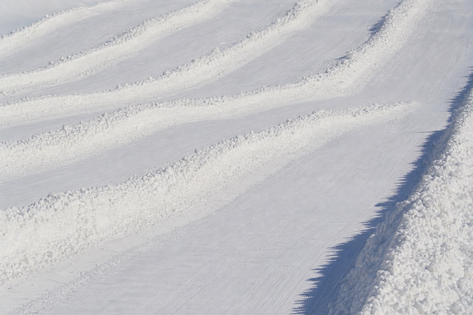 Sight · 0.9 mi awayBrandywine Ski ResortA local winter hill with a progression park and tubing next door.
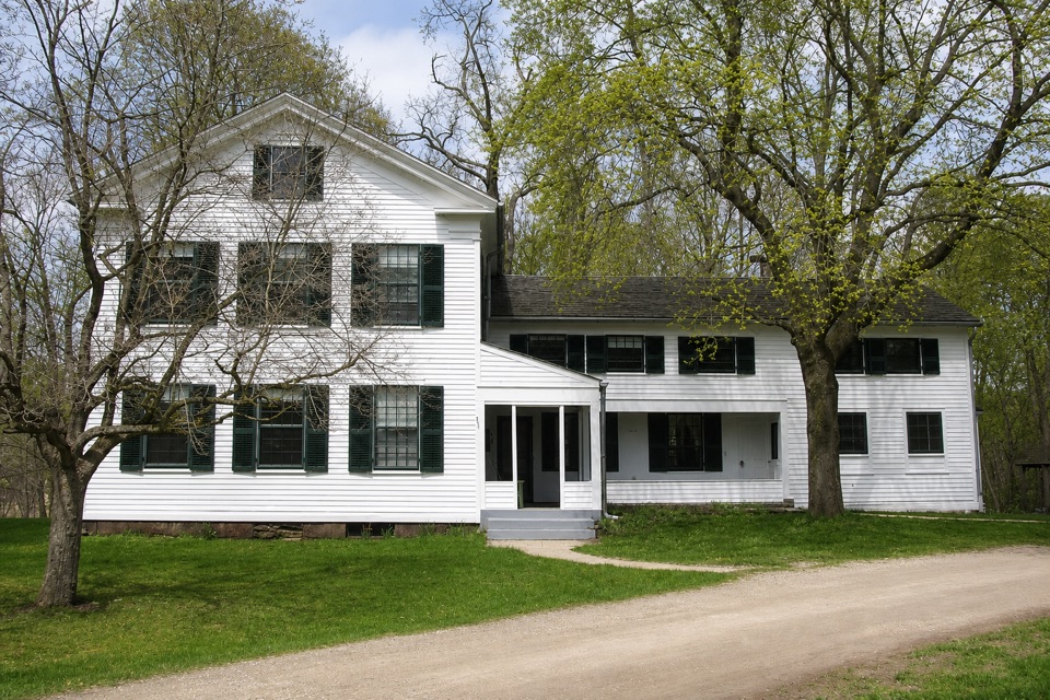 Sight · 1 mi awayStanford HouseA Greek Revival farmhouse shaped by the canal-era valley.
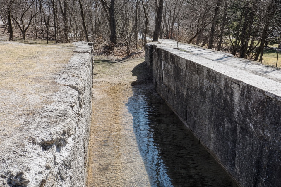 Sight · 1.3 mi awayLock 32Where canal boats waited, and Boston grew around them.
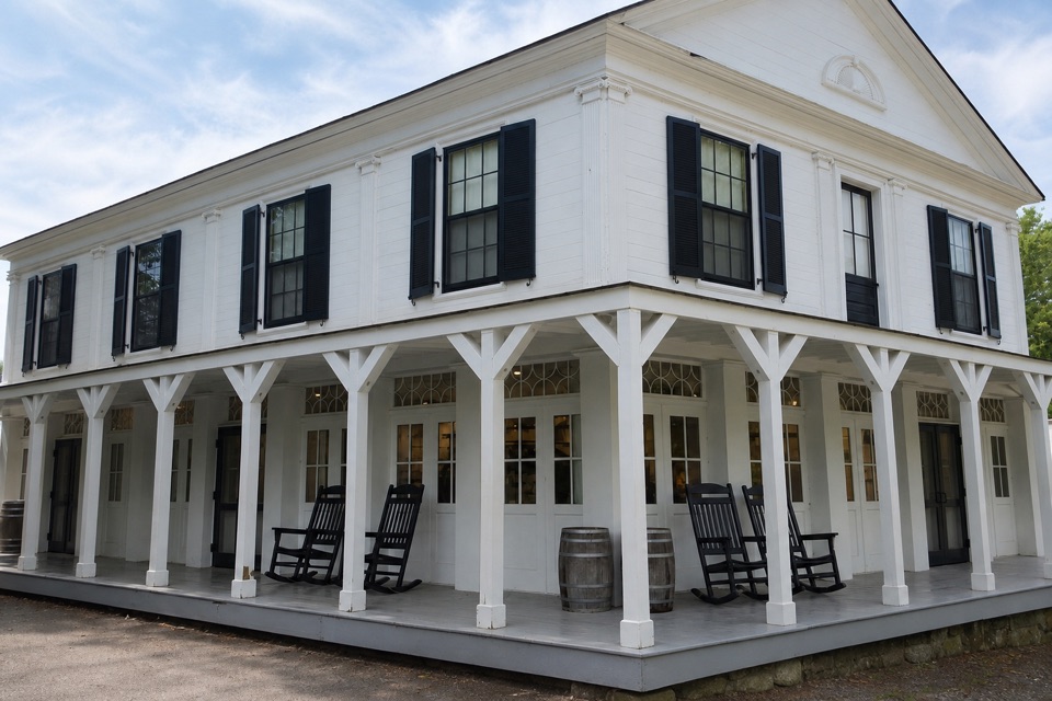 Store · 1.4 mi awayBoston StoreA canal-era store for ice cream beside the Towpath.
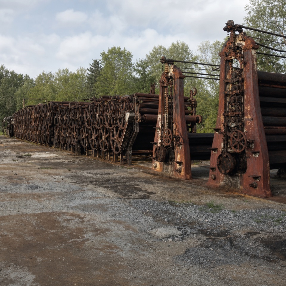 Sight · 1.4 mi awayJaite Mill SiteA short Towpath walk to a paper mill’s surviving machinery and markers.
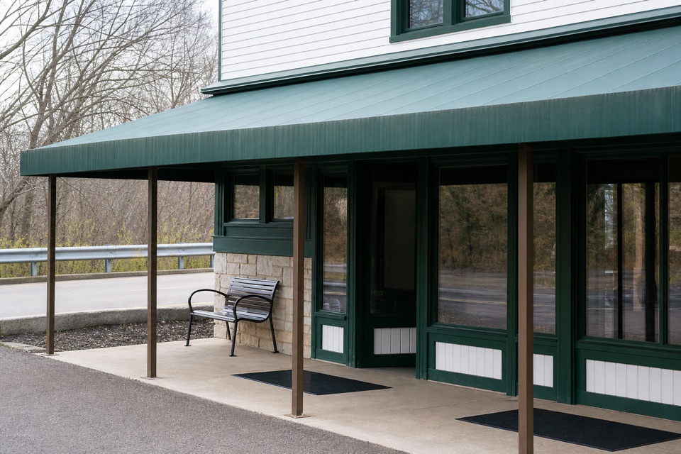 Visitor center · 1.5 mi awayBoston Mill Visitor CenterStart here for ranger advice and a tactile map of the valley.
Parkwolf’s Cuyahoga Valley ranking

The audio tour guide for the drive, plus offline maps, trails, and wildlife heatmaps for when the signal drops.


