1 active Cuyahoga Valley alert
- ClosureCuyahoga River closure and paddling hazardsDo not paddle through the river-mile-17 closure or the woody-debris hazard upstream of Lock 39.Official details

Sight · Cuyahoga Valley National Park
A short Towpath walk to a paper mill’s surviving machinery and markers.
Photo: Nyttend, Public domain, via Wikimedia Commons
Overview
Map
Plan your stop

The highest, rockiest slopes around here are a summer buffet for grizzly bears.
Cuyahoga Valley Tour Guide
Parkwolf is a GPS audio tour guide for Cuyahoga Valley National Park. As you drive, it chimes in with what’s ahead: hidden gems, upcoming stops, history, geology, and wildlife, right through your car’s speakers.
See the Cuyahoga Valley audio tourRecorded for this place
Red Lock Trailhead and Jaite Mill“You're nearing Red Lock Trailhead, where I'd choose the short Towpath walk to Jaite Mill for a little industrial history. Follow the level path south for about half a mile, then return the same way.”
Plays as you drive up to Jaite Mill Site in the Parkwolf Cuyahoga Valley Tour Guide.
More stories near here in the app
“Fantastic app with many points of information… It’s great to just turn on while you’re driving and it gives you an audio tour of the national Park. We love it!!!!”


Guide
Jaite Mill Site is the former factory ground of the Jaite Paper Company beside the Ohio & Erie Canal. Today it is an outdoor history stop on the Towpath, about half a mile south of Red Lock Trailhead. Most factory buildings are gone, so come for the machinery, canal traces and story rather than a preserved interior.
Look for the original 1928 Fourdrinier paper-making machine, the markers that show the mill’s corners, and a visible section of canal prism beside an old artesian well. An outdoor exhibit includes recordings from people who worked here. The long rollers and rusted frames are the clearest subject to photograph; include some of the trees to show how the former industrial site is returning to a natural landscape.
Charles Jaite founded the company in 1905. Its location linked the Ohio & Erie Canal with the Cleveland Terminal & Valley Railroad. Early Blue Line paper went into flour bags; the mill later made fertilizer bags and bread sacks. In 1928 it produced its first successful multi-walled cement bag. At its 1920s and 1930s peak, it ranked 11th nationally among multi-wall paper producers.
By 1933 the mill ran around the clock, and its whistle sounded four times each day. Polish immigrants and women who sewed bags or worked in the offices were part of the workforce. The company village included homes, a store, post office and railway station, but workers were not required to live in company housing or use company money. The yellow buildings at Vaughn and Riverview, now park offices, belong to that village north of the mill site.
Park at Red Lock Trailhead and follow the Towpath south for about half a mile. The shared trail also carries joggers and bicyclists. Red Lock has 15 parking spaces and an accessible vault toilet; those facilities are at the trailhead, not beside the mill exhibit. No food or drinking-water source was found at the site, so bring what you need. Stick to the public trail for the mill-site visit.
Wildlife
 321 sightingsBald EagleMost seen around 7 AMSighting map
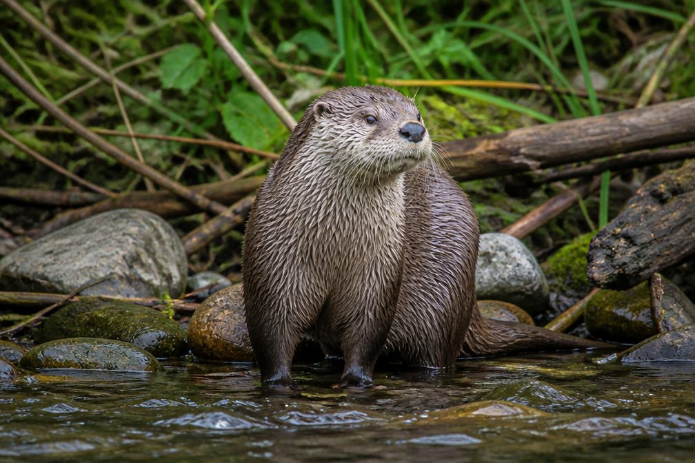 12 sightingsRiver OtterMost seen around 7 AMSighting map
 103 sightingsCoyoteMost seen around 7 PMSighting map
 251 sightingsBeaverMost seen around 8 PMSighting map
 498 sightingsWhite-tailed DeerMost seen around 6 AMSighting map
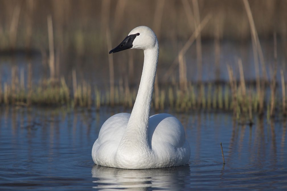 104 sightingsTrumpeter SwanMost seen around 5 PMSighting map
Sighting maps show where each species has been reported across Cuyahoga Valley. Wildlife moves, so no sighting is guaranteed.
Keep exploring
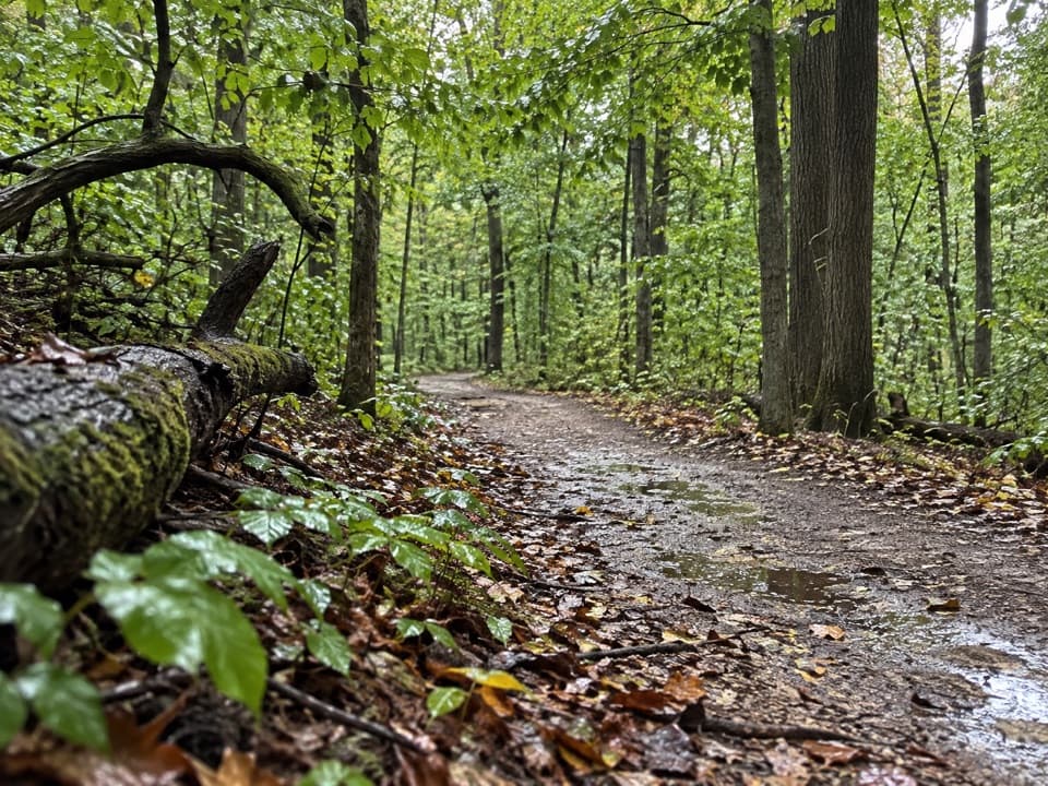 ModerateOld Carriage Trail5.3 mi · 2.5 hr · 0.3 mi awayA rocky forest loop, with a canal-side start and an old earthwork.
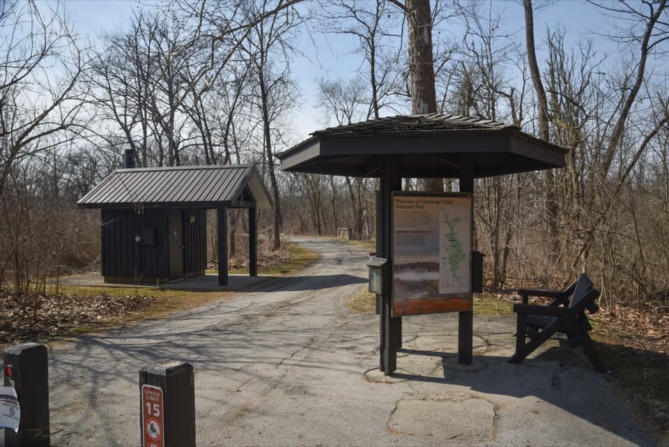 ModerateBuckeye and Towpath Loop: Red Lock to Boston8.1 mi · 4.5 hr · 0.3 mi awayRugged ridges and ravines out, flat Towpath back.
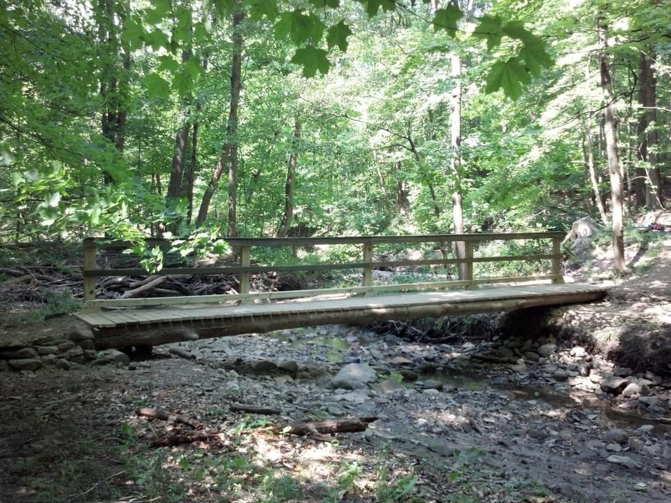 ModerateStanford Trail3.5 mi · 2.5 hr · 0.9 mi awayA wooden creek bridge and switchbacks lead to the falls.
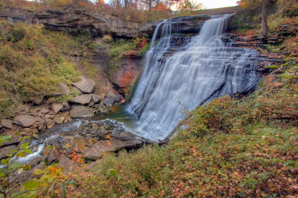 ModerateBrandywine Gorge Loop1.4 mi · 1 hr · 1.3 mi awayRocky gorge loop with a footbridge and Brandywine Falls views.
 EasyBike & Hike Trail: Brandywine Falls to Boston Heights2 mi · 48 min · 1.3 mi awayAn easy paved link with a waterfall at the northern access.
 EasyBrandywine Falls Upper Boardwalk0.4 mi · 30 min · 1.4 mi awayA quick, accessible boardwalk looks down on Brandywine Falls.
 ModerateBuckeye Trail Loop7.1 mi · 4 hr · 1.5 mi awayTake the hilly Buckeye leg out and flat Towpath back.
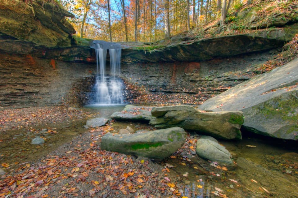 ModerateBlue Hen Falls Trail3 mi · 1.5 hr · 1.5 mi awayA steep Buckeye Trail climb ends at a 15-foot waterfall.
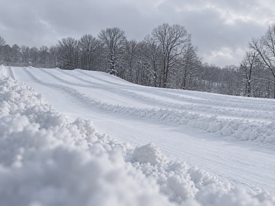 Sight · 0.6 mi awayBrandywine Ski ResortA local winter hill with a progression park and tubing next door.
 Sight · 1 mi awayStanford HouseA Greek Revival farmhouse shaped by the canal-era valley.
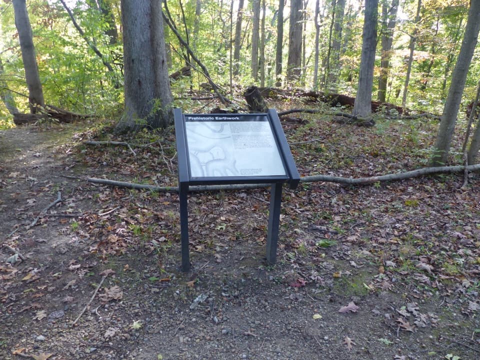 Sight · 1 mi awayGreenwood Village: Prehistoric EarthworkA wooded earthwork whose purpose may have been ceremonial.
 Sight · 1.3 mi awayLock 32Where canal boats waited, and Boston grew around them.
 Lodging · 1.4 mi awayThe Inn at Brandywine FallsA historic B&B puts Brandywine Falls within an easy walk.
 Sight · 1.4 mi awayBrandywine FallsA short boardwalk reveals a 60-foot waterfall and wooded gorge.
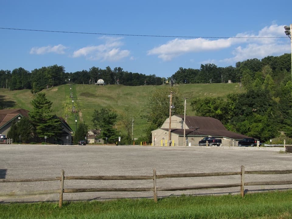 Sight · 1.4 mi awayBoston Mills Ski ResortQuick local laps, with a real challenge on the Tiger run.
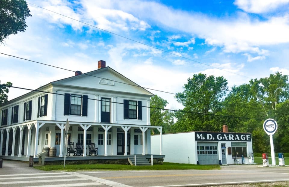 Store · 1.5 mi awayBoston StoreA canal-era store for ice cream beside the Towpath.
Parkwolf’s Cuyahoga Valley ranking

The audio tour guide for the drive, plus offline maps, trails, and wildlife heatmaps for when the signal drops.