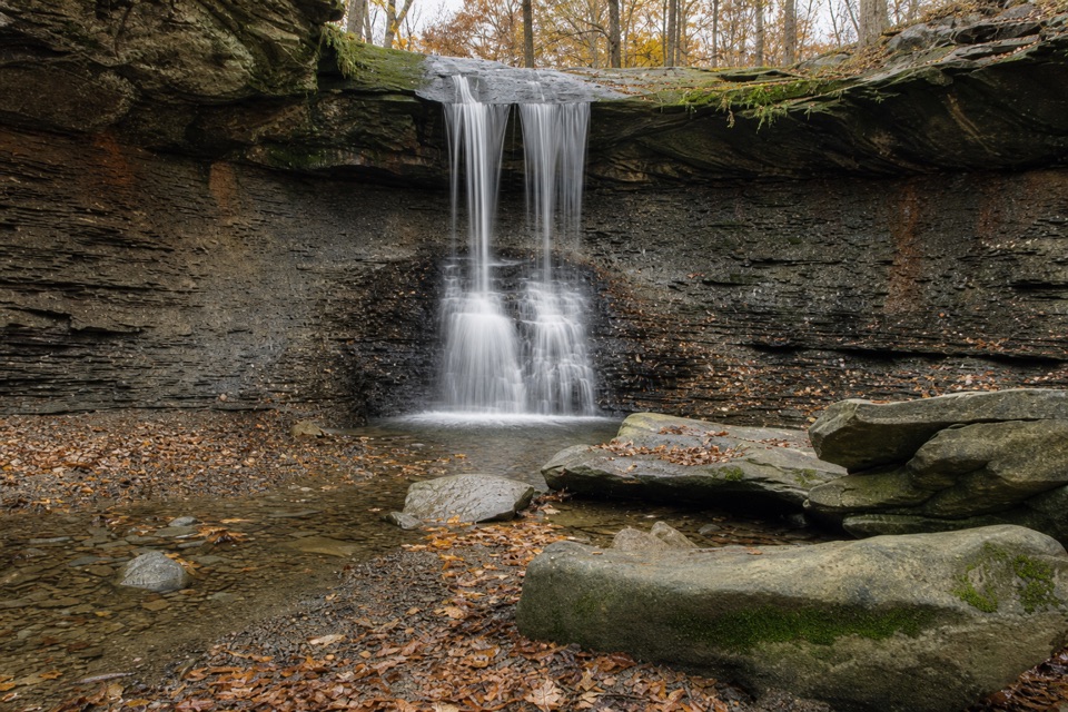
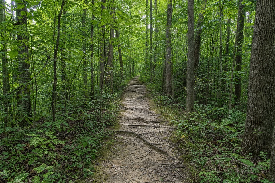
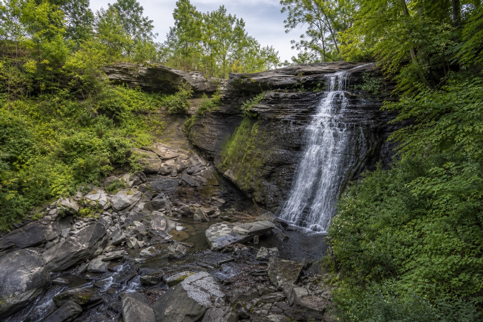
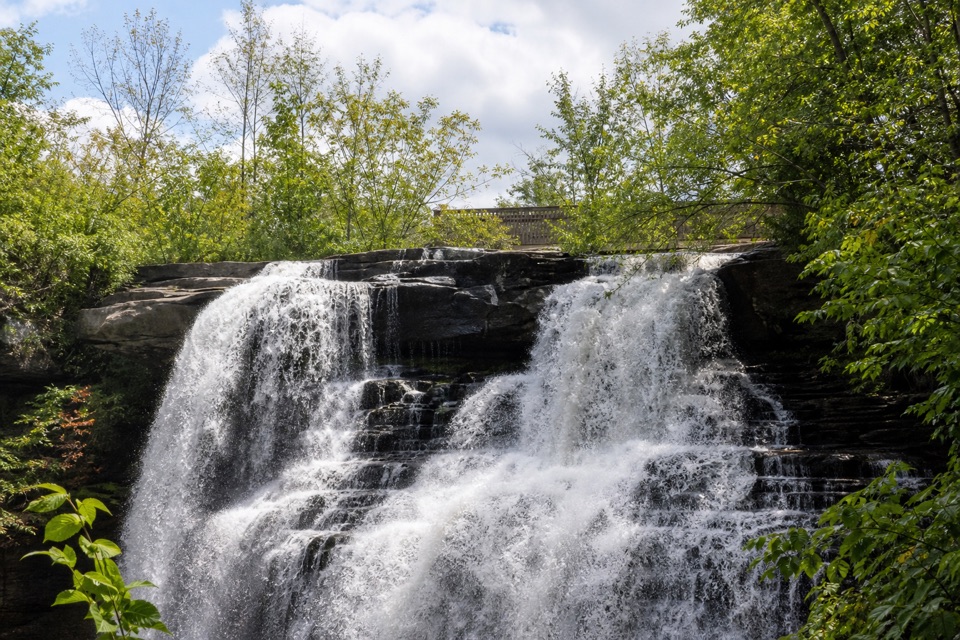
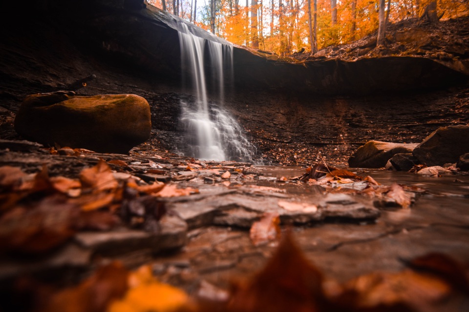
Beyond Blue Hen, visitors follow an unsigned, worn path beside Spring Creek to Buttermilk Falls, where water runs over a shale slope. This stretch is quieter and rougher: the tread can be eroded, and several crossings require stepping over slick creek rocks. Published totals range from 3.5 to 4.3 miles; this record uses the connected mapped corridor and counts the return. The official NPS hike ends at Blue Hen and says to stay on marked trail. No authoritative public-access ruling for the extension was found, so verify access with NPS before leaving the marked Buckeye Trail and obey posted restrictions. If you cannot confirm access, turn around at Blue Hen.