Parking
Use Boston Trailhead at 1508 Boston Mills Road, which serves the Buckeye, Valley, and Towpath trails. It is separate from the nearby Boston Store Trailhead.
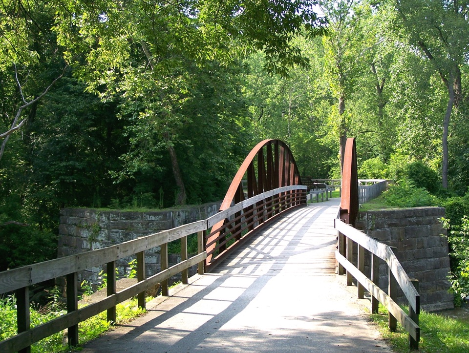
#10 of 63 trails in Cuyahoga Valley
Cuyahoga Valley National Park, OH
Take the hilly Buckeye leg out and flat Towpath back.
Overview
Map & elevation
Plan your hike

The highest, rockiest slopes around here are a summer buffet for grizzly bears.
Cuyahoga Valley Tour Guide
Parkwolf is a GPS audio tour guide for Cuyahoga Valley National Park. As you drive, it chimes in with what’s ahead: hidden gems, upcoming stops, history, geology, and wildlife, right through your car’s speakers.
Recorded for this trailhead
Boston Store“Boston Store is ahead, a handy place for an ice cream break beside the Towpath. Seasonal sandwiches and salads make it useful for picking up a picnic, too; think takeaway food rather than a sit-down restaurant.”
Plays as you drive up to this trailhead in the Parkwolf Cuyahoga Valley Tour Guide.
More stories near here in the app
“Fantastic app with many points of information… It’s great to just turn on while you’re driving and it gives you an audio tour of the national Park. We love it!!!!”


Trail guide
This is a 7.1-mile loop from Boston to Peninsula: a hilly Buckeye Trail leg south, then the flatter Ohio & Erie Canal Towpath back north. It suits hikers who want a wooded climb and canal-side history in one outing, rather than a level stroll. Allow about four hours with stops. Published distances differ by a few tenths: one route map lists 7.4 miles, so plan for roughly 7 to 7½ miles and check the current park map before setting out.
Leave Boston Trailhead on the blue-blazed Buckeye Trail toward Peninsula. This is the hilly half, with dirt and gravel underfoot, repeated climbs through woods, and a few scenic openings. The route crosses Boston Mills Road, then joins other signed paths on the way south. Keep an eye on the blue blazes at junctions; this loop follows connected trail sections rather than one unbroken corridor.
In Peninsula, turn north on the Ohio & Erie Canal Towpath to close the loop. Its crushed-limestone surface is level, a welcome change after the Buckeye climbs, and it follows the Cuyahoga River beside the historic canal. Lock 29 and the old aqueduct works make the Peninsula stretch the most distinctive stop on the return. From the Towpath, the arched crossing and stone canal walls make a clear frame for the old canal route.
Start at Boston Trailhead, 1508 Boston Mills Road. Follow Buckeye blazes south, then pick up the Towpath north from Peninsula; a current map helps where the local routes join. Dogs are allowed on this loop on a leash no longer than six feet. If you want a flatter outing, use the Towpath as its own out-and-back instead of taking the Buckeye leg.
Wildlife
 319 sightingsBald EagleMost seen around 7 AMSighting map
 12 sightingsRiver OtterMost seen around 7 AMSighting map
 103 sightingsCoyoteMost seen around 7 PMSighting map
 248 sightingsBeaverMost seen around 8 PMSighting map
 492 sightingsWhite-tailed DeerMost seen around 6 AMSighting map
 99 sightingsTrumpeter SwanMost seen around 5 PMSighting map
Sighting maps show where each species has been reported across Cuyahoga Valley. Wildlife moves, so no sighting is guaranteed.
Keep exploring
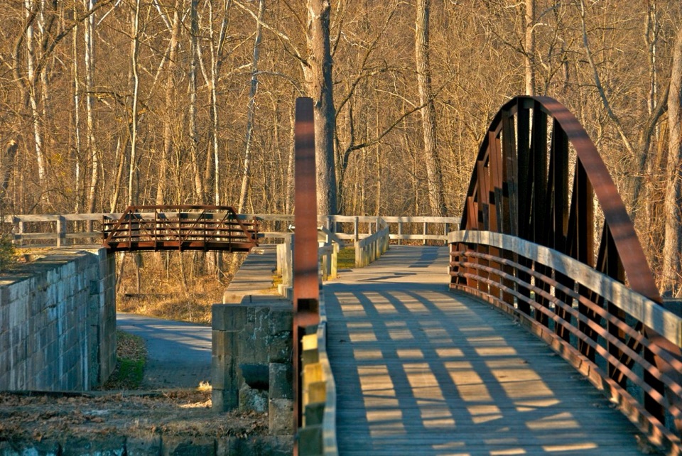 ModerateBoston to Peninsula Buckeye and Towpath Loop7.4 mi · 4 hr · At the trailheadClimb wooded ravines, then coast back beside the historic canal.
 ModerateBlue Hen Falls Trail3 mi · 1.5 hr · 0.2 mi awayA steep Buckeye Trail climb ends at a 15-foot waterfall.
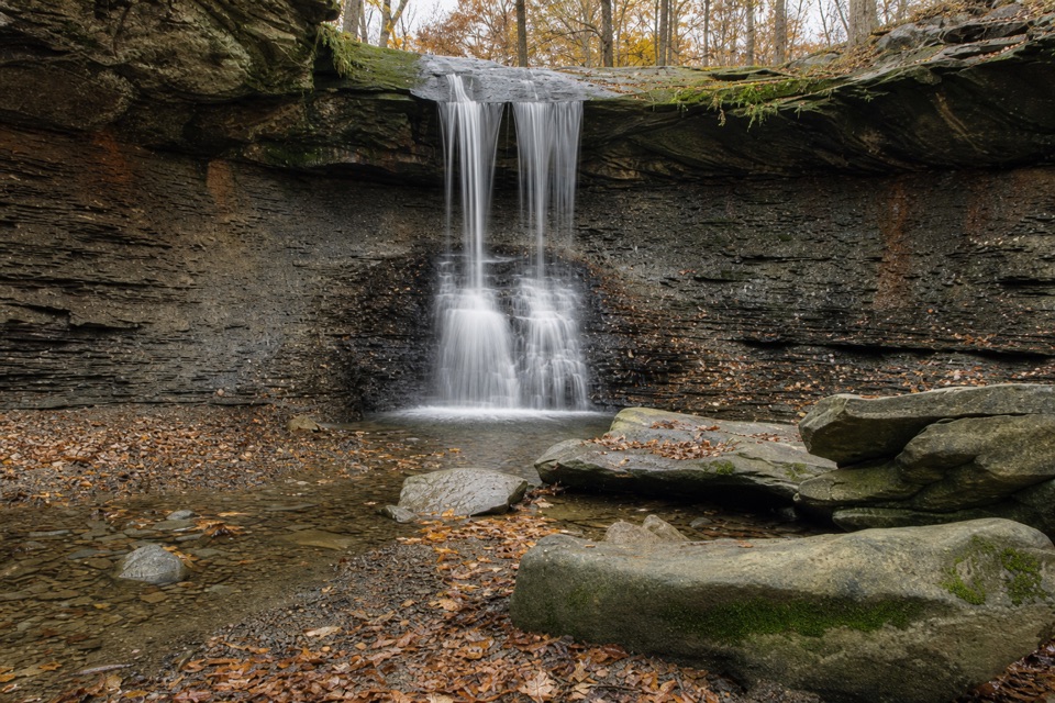 ModerateButtermilk Falls via Blue Hen Falls3.5 mi · 2.5 hr · 0.2 mi awayTwo waterfalls, steep ridges, and a rough creekside finish.
 ModerateStanford Trail3.5 mi · 2.5 hr · 0.7 mi awayA wooden creek bridge and switchbacks lead to the falls.
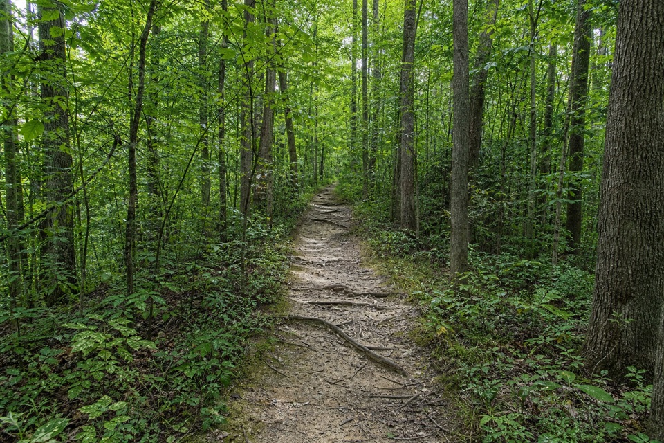 ModerateWildlife Woods Trail0.8 mi · 45 min · 1.2 mi awayA short, rooty climb with a longer trail loop nearby.
 ModerateBrandywine Gorge Loop1.4 mi · 1 hr · 1.3 mi awayRocky gorge loop with a footbridge and Brandywine Falls views.
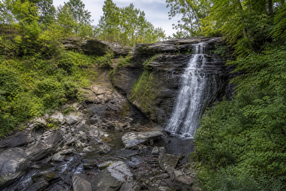 EasyBike & Hike Trail: Brandywine Falls to Boston Heights2 mi · 48 min · 1.3 mi awayAn easy paved link with a waterfall at the northern access.
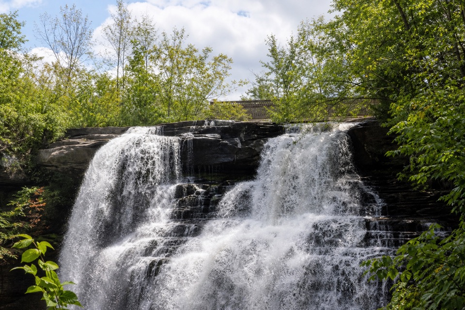 EasyBrandywine Falls Upper Boardwalk0.4 mi · 30 min · 1.3 mi awayA quick, accessible boardwalk looks down on Brandywine Falls.
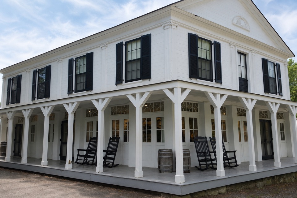 Store · 0.1 mi awayBoston StoreA canal-era store for ice cream beside the Towpath.
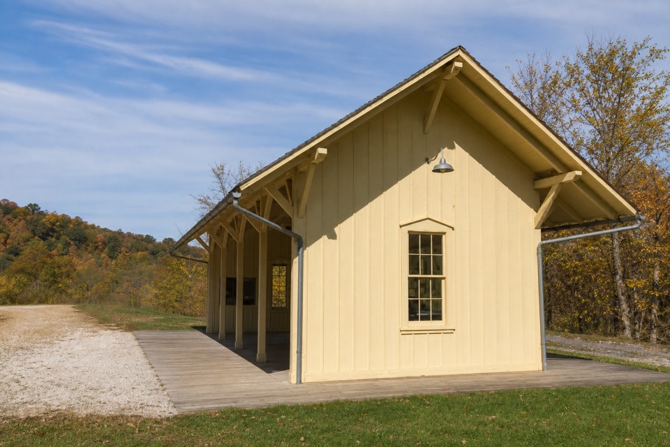 Sight · 0.2 mi awayBoston Mill StationA handy train stop for linking a ride with nearby trails.
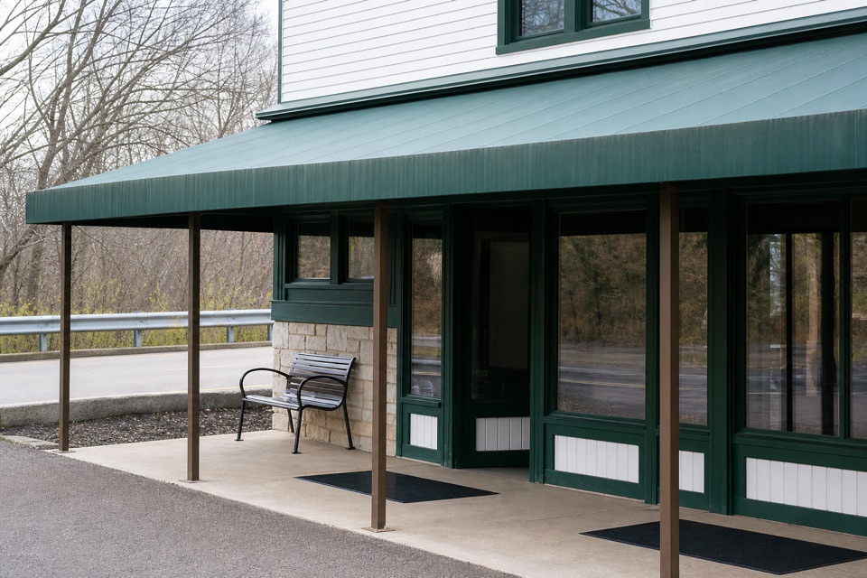 Visitor center · 0.2 mi awayBoston Mill Visitor CenterStart here for ranger advice and a tactile map of the valley.
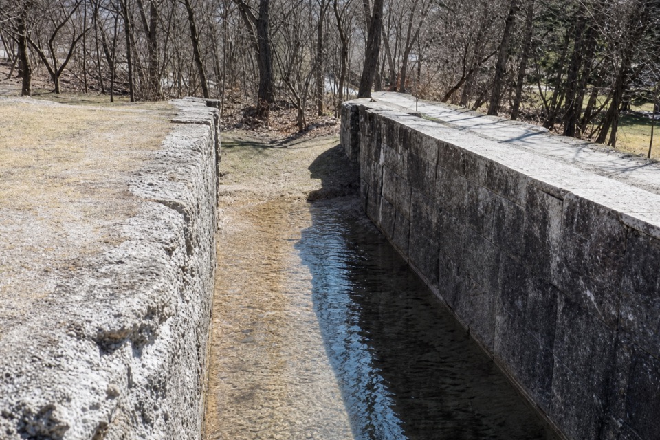 Sight · 0.2 mi awayLock 32Where canal boats waited, and Boston grew around them.
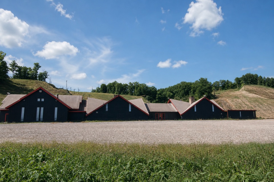 Sight · 0.5 mi awayBoston Mills Ski ResortQuick local laps, with a real challenge on the Tiger run.
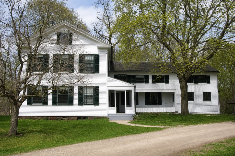 Sight · 0.6 mi awayStanford HouseA Greek Revival farmhouse shaped by the canal-era valley.
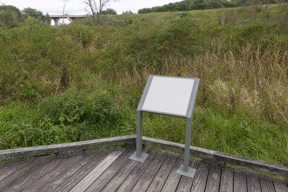 Sight · 0.7 mi awayStumpy BasinBoardwalk views over the wetland where canal boats once turned.
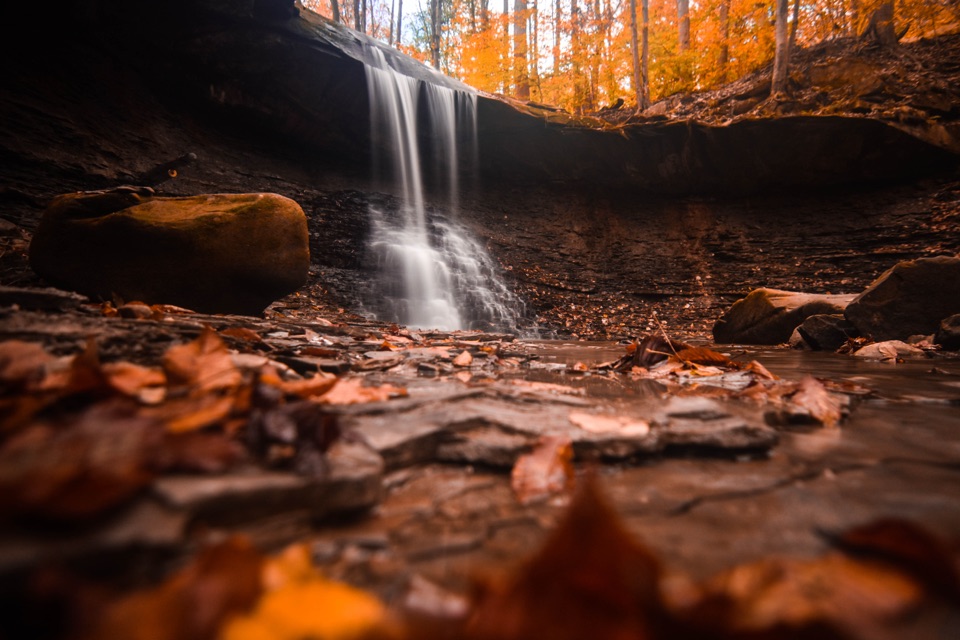 Sight · 0.9 mi awayBlue Hen FallsA 15-foot waterfall at the end of a hilly, wooded hike.
Parkwolf’s Cuyahoga Valley ranking

The audio tour guide for the drive, plus offline maps, trails, and wildlife heatmaps for when the signal drops.


