Cross Country Trail in Cuyahoga Valley National Park

Cuyahoga Valley National Park, OH

Cross Country Trail

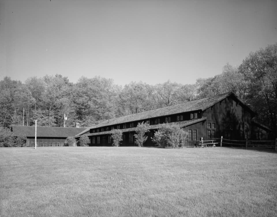
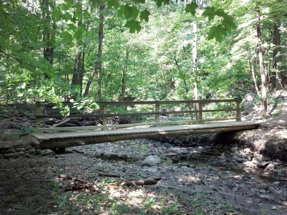
A hilly dirt loop through a field returning to forest.

Photo: National Park Service
Length
2.5mi
Time
1.5hr
Elev. change
156ft
Difficulty
Moderate
  • Loop
  • Dogs allowed
  • High point 973 ft
  • #31 of 63 in Cuyahoga Valley

Hear the audio tour

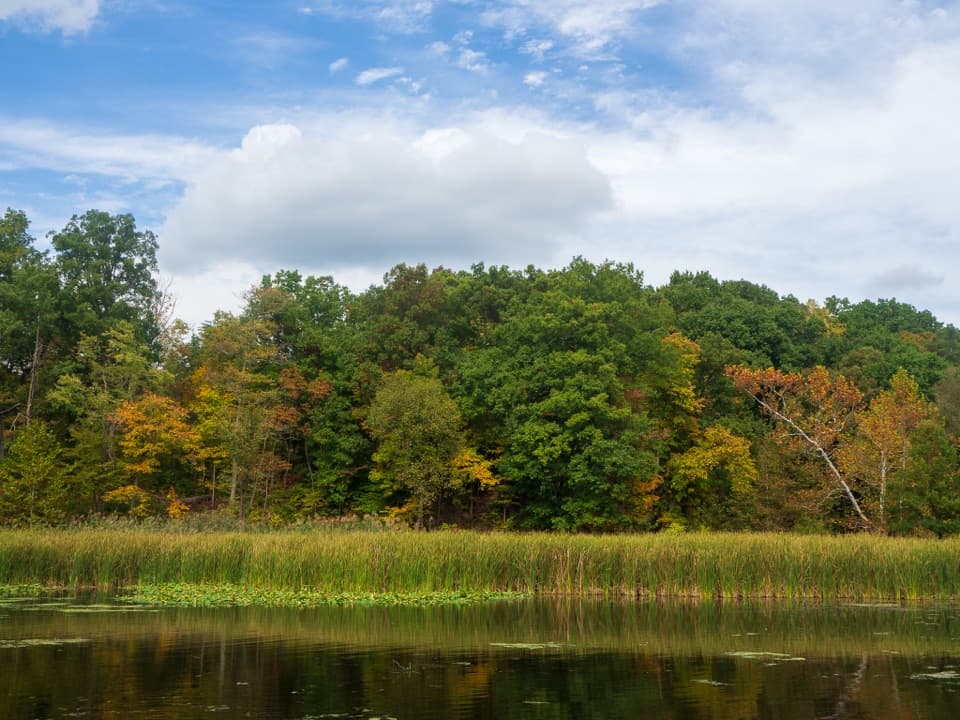
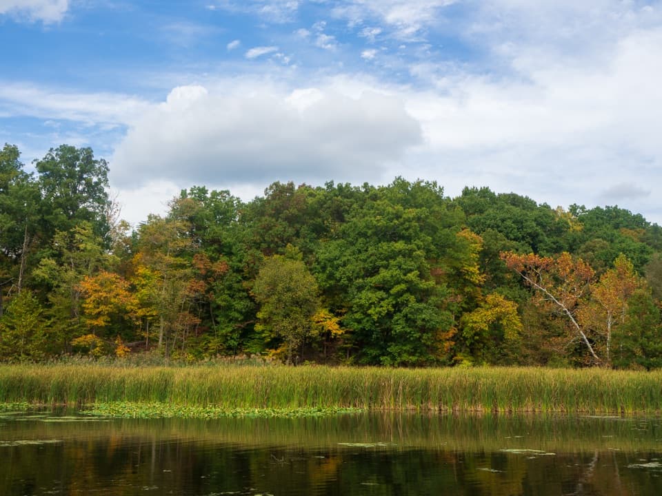
Kendall Lake

Overview

About Cross Country Trail

Why go

  • A hilly, varied loop that fits into about an hour and a half.
  • The old field and returning woodland give the route a visible sense of change.

Heads up

  • Several connected paths and approximate map lines make junctions worth watching.

Map & elevation

The route

Loading the Cuyahoga Valley map
Full map
Elevation817–973 ft
TrailheadKendall Lake Trailhead41.21718, -81.52472
Keep this map with you offline in the Parkwolf app

Plan your hike

Before you go

Parking

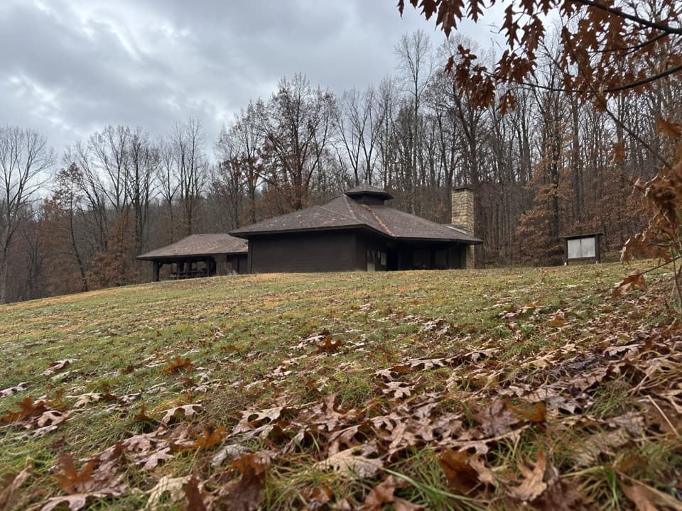
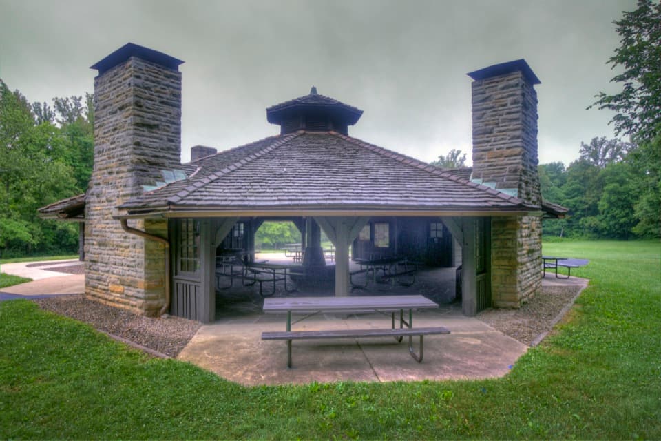
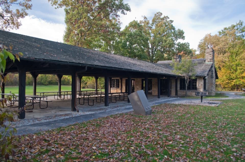
Start at Kendall Lake Trailhead, 1000 Truxell Road. Auto parking and an information kiosk are at the trailhead; public restrooms with running water are in the lower level of Kendall Lake Shelter. The lot is not plowed in winter and may close in unsafe conditions; the park recommends Pine Hollow for trail access in the area.

Safety

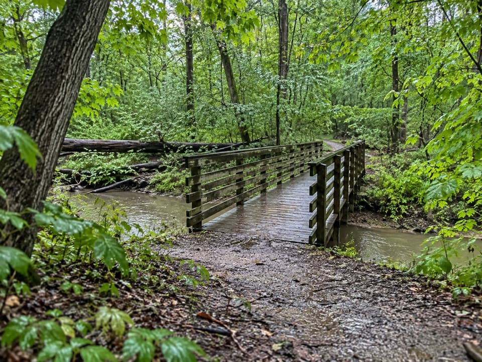
The dirt and gravel can become muddy in wet weather. Several Kendall Lake paths connect here, and the NPS map says trail locations are approximate, so check the route at junctions.

5 active Cuyahoga Valley alerts

  • ClosureTowpath Trail closed: Boston to Lock 29The Towpath Trail is closed from Boston Trailhead to Lock 29 in Peninsula during the August 24–November 20, 2026 work period.Official details
  • ClosureStanford-area closures for pavement removalA contractor is removing old pavement, closing former Stanford Road between Stanford Trailhead and the Brandywine Gorge Loop, the north half of Stanford Trailhead parking lot, and a section of the…Official details
See all 5 alerts
A park ranger sits on a dash-mounted phone, talking, as Parkwolf’s Tour Guide plays “Army Cutworm Moths: A Grizzly Bear Buffet” on Grand Loop Road below Dunraven Pass in Yellowstone
Parkwolf Tour GuideThe highest, rockiest slopes around here are a summer buffet for grizzly bears.

Cuyahoga Valley Tour Guide

Your drive to Cross Country Trail, narrated.

Parkwolf is a GPS audio tour guide for Cuyahoga Valley National Park. As you drive, it chimes in with what’s ahead: hidden gems, upcoming stops, history, geology, and wildlife, right through your car’s speakers.

See the Cuyahoga Valley audio tour

Recorded for this trailhead

Kendall Lake
0:00 / 0:32
“You're approaching Kendall Lake, where the pier gives you a lake view without doing the full shoreline walk.”

Plays as you drive up to this trailhead in the Parkwolf Cuyahoga Valley Tour Guide.

More stories near here in the app

  • Pine Hollow and Kendall Hills
  • Octagon Shelter and Pine Grove Trail
  • The Ledges
  • Wetmore Trailhead
  • 97 audio storiesacross Cuyahoga Valley’s roads, triggered by GPS as you drive
  • Wildlife heatmapsfor Bald Eagle, River Otter, Coyote, and 13 more
  • Works offlinemaps, 63 trails, 88 places, and audio download before you lose signal
  • CarPlay readysimple controls built for the drive
★★★★★
“Fantastic app with many points of information… It’s great to just turn on while you’re driving and it gives you an audio tour of the national Park. We love it!!!!”
JMJamesApp Store review
Download Parkwolf on the App StoreGet Parkwolf on Google Play

4.7 from 8,600+ ratings

Trail guide

Hiking Cross Country Trail

The Kendall Hills loopCross Country Trail is a 2.

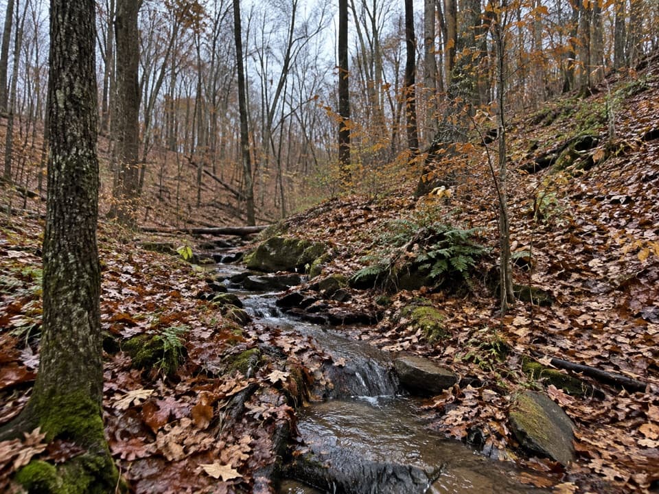
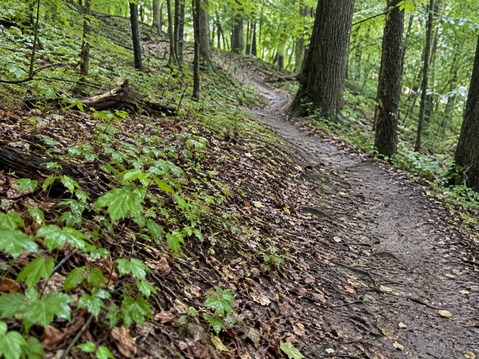
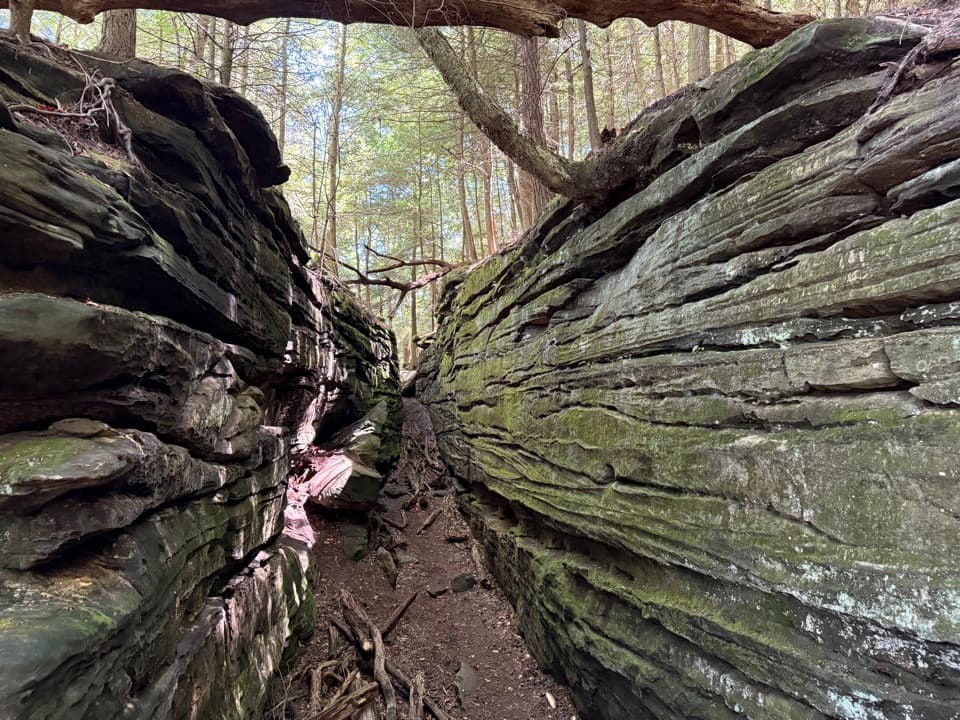
Cross Country Trail is a 2.5-mile moderate loop from Kendall Lake Trailhead through rolling hills, meadow and forest. The park estimates about 1.5 hours. Pick it for a short walk with real ups and downs; there isn’t one big destination at the end, so the changing hillside is the point.

Follow the Cross Country routeThe route starts left of the bulletin board at Kendall Lake and passes beneath Kendall Park…

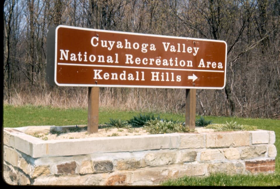
The route starts left of the bulletin board at Kendall Lake and passes beneath Kendall Park Road through a tunnel as it winds around Kendall Hills. The map labels Little Meadow and Crow Foot Gully near the loop. Cross Country connects with Lake Trail and other Kendall Lake paths, so keep the park map handy at junctions; the printed map warns that trail locations are approximate.

A field turning back into forestPart of the route crosses an old farm field that is gradually becoming woodland through natural…

Part of the route crosses an old farm field that is gradually becoming woodland through natural succession. That opening is a small reminder of the Ritchie family farm that once covered this part of the valley: records describe sheep and corn in the 1850s, then dairy farming in the 1870s.

What to expectThe trail is dirt and gravel with rolling hills and about 160 feet of elevation change.

The trail is dirt and gravel with rolling hills and about 160 feet of elevation change. It may get muddy after rain. Dogs are allowed on a leash no longer than six feet.

Start at Kendall LakeBegin at Kendall Lake Trailhead, left of its bulletin board.

Begin at Kendall Lake Trailhead, left of its bulletin board. The trailhead has parking and an information kiosk; public restrooms with running water are in the lower level of Kendall Lake Shelter. The lot is not plowed in winter and may close when conditions are unsafe; the park points visitors to Pine Hollow for nearby trail access.

Wildlife

Wildlife in Cuyahoga Valley

All Cuyahoga Valley wildlife maps

Sighting maps show where each species has been reported across Cuyahoga Valley. Wildlife moves, so no sighting is guaranteed.

Keep exploring

Near Cross Country Trail

See it all on the map

Trails that start nearby

Places near the trailhead

Parkwolf’s Cuyahoga Valley ranking

Top-rated trails in Cuyahoga Valley

All 63 trails
  1. 1Ledges TrailModerate · 1.8 mi
  2. 2Brandywine Gorge LoopModerate · 1.4 mi
  3. 3Blue Hen Falls TrailModerate · 3 mi
  4. 4Beaver Marsh WalkEasy · 0.6 mi
  5. 5Ohio & Erie Canal Towpath TrailModerate · 19.8 mi
  6. 6Stanford TrailModerate · 3.5 mi

Take Parkwolf to Cuyahoga Valley.

The audio tour guide for the drive, plus offline maps, trails, and wildlife heatmaps for when the signal drops.

4.7 from 8,600+ ratings

Download Parkwolf on the App StoreGet Parkwolf on Google Play