Parking
Park at the Octagon Shelter lot on Kendall Park Road, 1.3 miles west of Akron Cleveland Road or 2 miles east of Akron Peninsula Road (Truxell Road becomes Kendall Park Road).
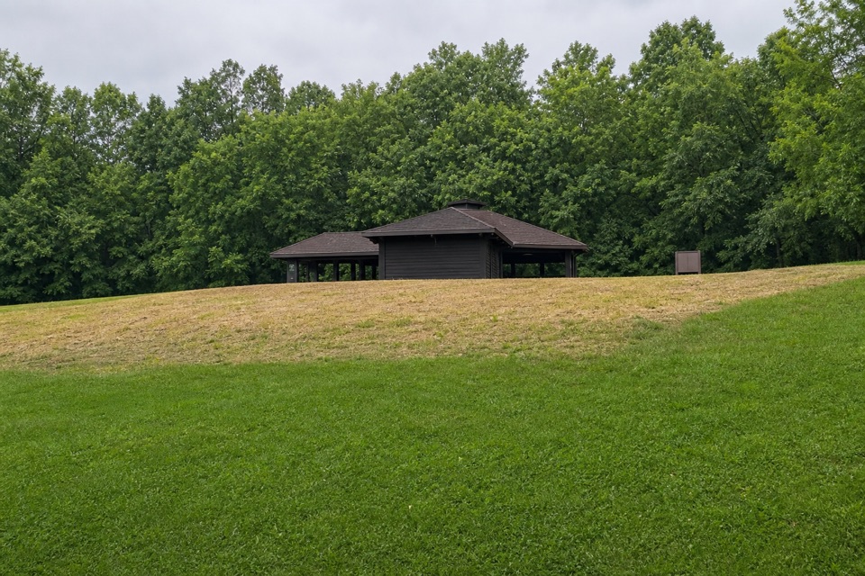
Cuyahoga Valley National Park, OH
A flat half-mile walk with a picnic shelter at the start.
Overview
Map & elevation
Plan your hike

The highest, rockiest slopes around here are a summer buffet for grizzly bears.
Cuyahoga Valley Tour Guide
Parkwolf is a GPS audio tour guide for Cuyahoga Valley National Park. As you drive, it chimes in with what’s ahead: hidden gems, upcoming stops, history, geology, and wildlife, right through your car’s speakers.
Recorded for this trailhead
Octagon Shelter and Pine Grove Trail“You're approaching the access for Octagon Shelter and Pine Grove Trail. The eight-sided pavilion has a low, broad roof and stone chimneys, with chestnut timber from trees affected by chestnut blight.”
Plays as you drive up to this trailhead in the Parkwolf Cuyahoga Valley Tour Guide.
More stories near here in the app
“Fantastic app with many points of information… It’s great to just turn on while you’re driving and it gives you an audio tour of the national Park. We love it!!!!”


Trail guide
Forest Point Trail is an easy 0.5-mile lollipop walk from Octagon Shelter. A short connector heads west into the woods, circles back at the far end, then returns on the same connector. The National Park Service lists about 30 minutes, a flat dirt surface, and minimal elevation change. Its Ledges area map says trail locations are approximate, and a full mapped trace that counts the shared approach twice is longer than the listed distance. Treat the half-mile figure as a rounded planning estimate.
Park at the Octagon Shelter lot on Kendall Park Road. The shelter area has restrooms and picnic facilities; there is no documented food service along this short route. The access area closes at dusk, so plan to finish before then.
This walk sits in the Virginia Kendall area. Industrialist Hayward Kendall gave his former retreat to Ohio as a park named for his mother, Virginia Kendall, and the Civilian Conservation Corps developed area amenities in the 1930s. The route itself is a simple wooded stroll, not a viewpoint hike. Dogs are welcome on a leash no longer than six feet.
Wildlife
 319 sightingsBald EagleMost seen around 7 AMSighting map
 12 sightingsRiver OtterMost seen around 7 AMSighting map
 103 sightingsCoyoteMost seen around 7 PMSighting map
 248 sightingsBeaverMost seen around 8 PMSighting map
 492 sightingsWhite-tailed DeerMost seen around 6 AMSighting map
 99 sightingsTrumpeter SwanMost seen around 5 PMSighting map
Sighting maps show where each species has been reported across Cuyahoga Valley. Wildlife moves, so no sighting is guaranteed.
Keep exploring
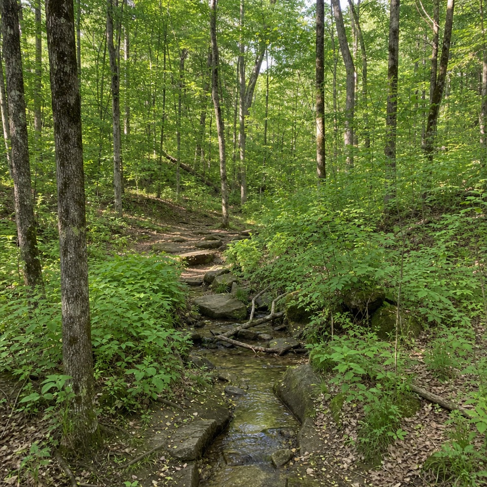 EasyPine Grove Trail2.2 mi · 1.4 hr · 0.1 mi awayTwo shaded miles through planted pines, footbridges, and wooded ravines.
 ModerateLedges Trail1.8 mi · 1.5 hr · 0.3 mi awayA rocky loop through sandstone walls and a remarkable staircase.
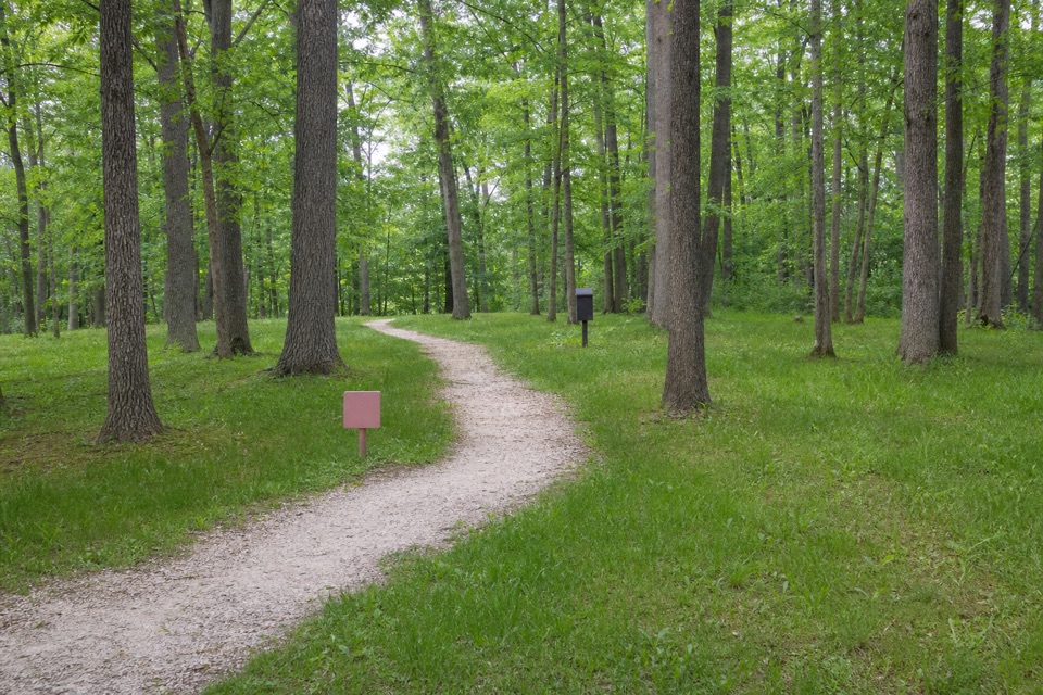 EasyHaskell Run Trail0.6 mi · 35 min · 0.4 mi awayA short ravine loop with a connector to the Ledges
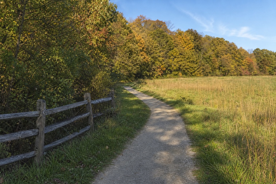 ModerateBoston Run Trail3.1 mi · 2 hr · 0.6 mi awayA shaded stream loop over rocky ravines and ridges
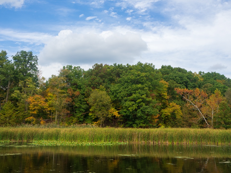 EasyLake Trail1 mi · 45 min · 0.8 mi awayA gentle loop threads a stone tunnel and marshy lake shore.
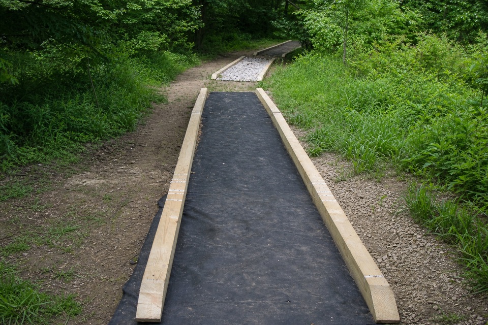 ModerateCross Country Trail2.5 mi · 1.5 hr · 0.8 mi awayA hilly dirt loop through a field returning to forest.
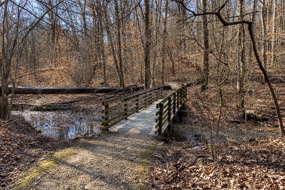 ModerateSalt Run Trail3.3 mi · 2 hr · 1.2 mi awayA 3.3-mile woods loop with bridges, ravines and a long stair climb.
 EasyDickerson Run Trail1.2 mi · 40 min · 1.7 mi awayA shaded, gradual connector from Langes Run to Wetmore.
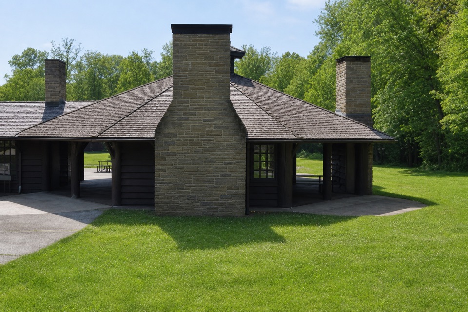 Picnic area · At the trailheadOctagon ShelterA low-roofed CCC shelter beside the Ledges trails.
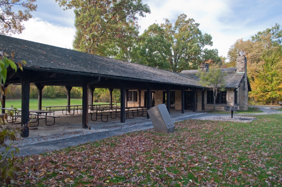 Picnic area · 0.3 mi awayLedges ShelterCCC-built group picnic shelter beside the Ledges Trailhead
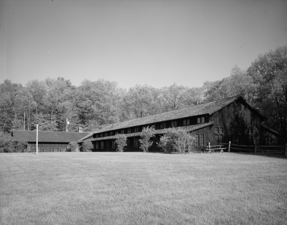 Sight · 0.4 mi awayHappy Days LodgeA CCC-built lodge for concerts, programs and special gatherings.
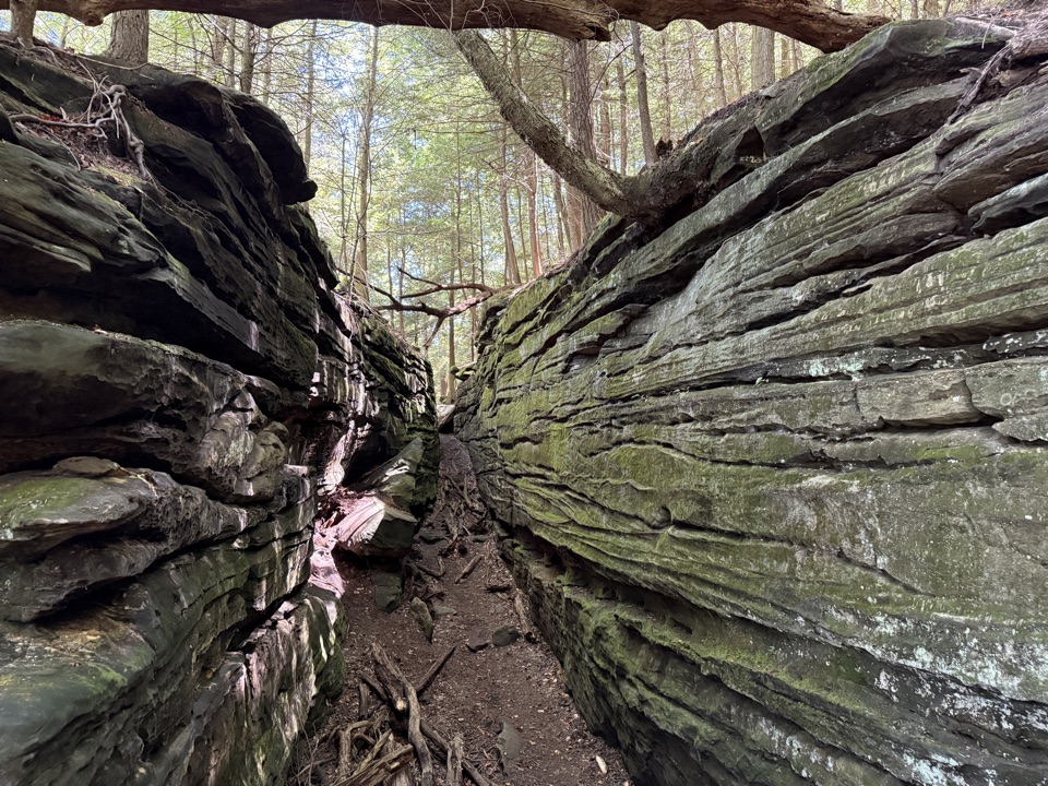 Sight · 0.4 mi awayThe LedgesWalk sandstone crevices, then catch a west-facing view over the valley.
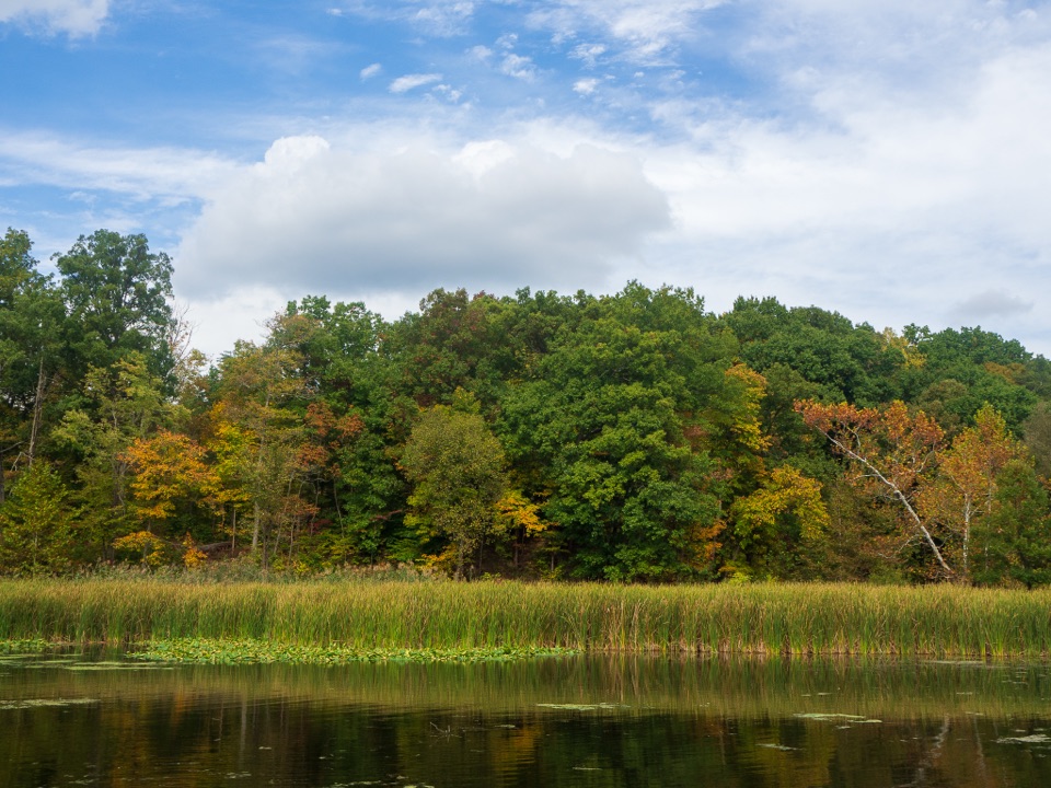 Sight · 0.9 mi awayKendall LakeA CCC lake, fishing pier and shelter in one easy stop.
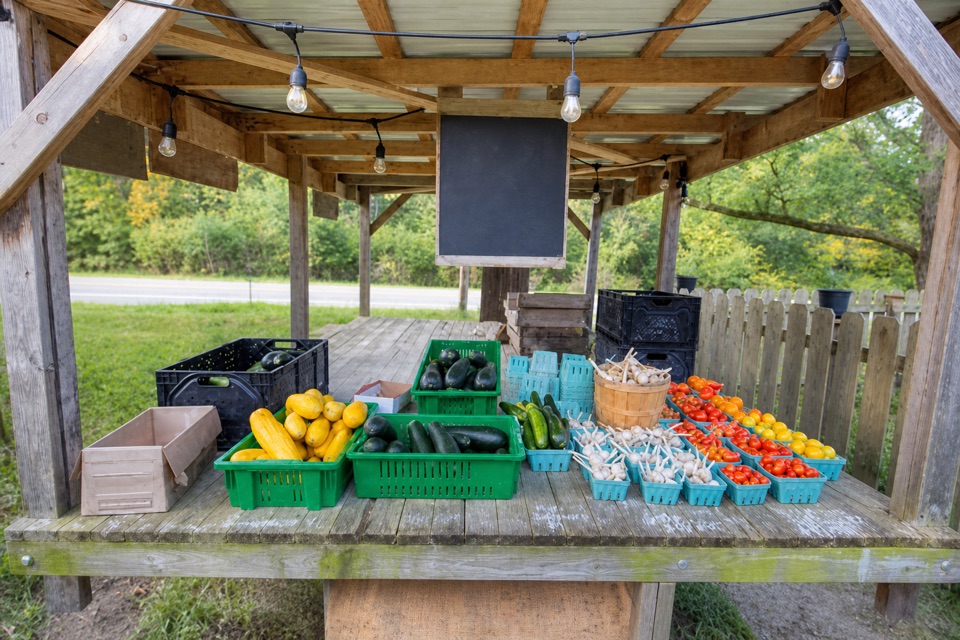 Store · 1 mi awayTrapp Family FarmEggs and seasonal produce from a draft-horse farm stand.
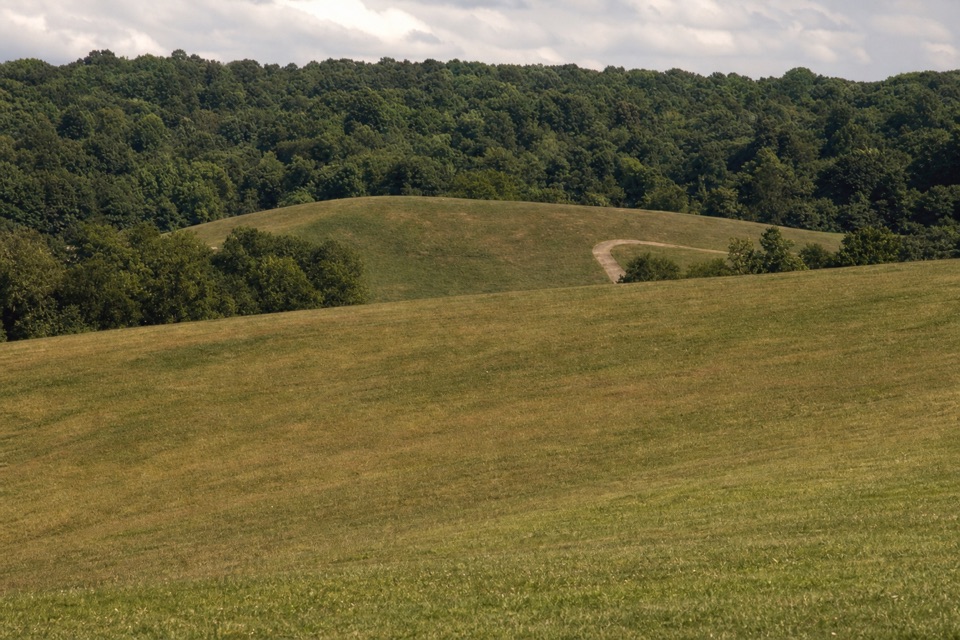 Sight · 1.2 mi awayKendall HillsSledding slopes in winter; trails and meadows through the year.
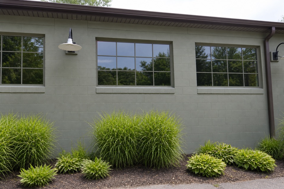 Store · 2.1 mi awayTrail Mix PeninsulaGifts, ice cream, and a train track right beside the shop.
Parkwolf’s Cuyahoga Valley ranking

The audio tour guide for the drive, plus offline maps, trails, and wildlife heatmaps for when the signal drops.




