Parking
Use the large Pine Hollow Trailhead lot at 5465 Quick Road, near Peninsula. Salt Run starts on the left side of the lot as you face the hills. Flush restrooms, drinking water, picnic tables and benches are here.
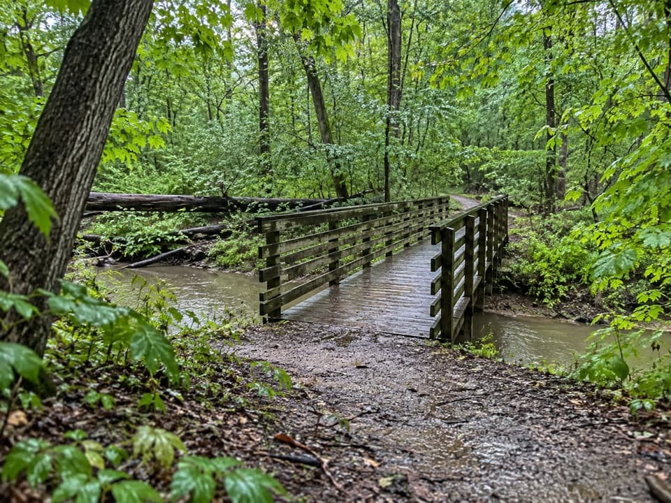
#7 of 63 trails in Cuyahoga Valley
Cuyahoga Valley National Park, OH
A 3.3-mile woods loop with bridges, ravines and a long stair climb.
Overview
Map & elevation
Plan your hike

The highest, rockiest slopes around here are a summer buffet for grizzly bears.
Cuyahoga Valley Tour Guide
Parkwolf is a GPS audio tour guide for Cuyahoga Valley National Park. As you drive, it chimes in with what’s ahead: hidden gems, upcoming stops, history, geology, and wildlife, right through your car’s speakers.
See the Cuyahoga Valley audio tourRecorded for this trailhead
Pine Hollow and Kendall Hills“Pine Hollow is ahead, at the top of Kendall Hills, where you can stop for a picnic by the meadow or head into the woods.”
Plays as you drive up to this trailhead in the Parkwolf Cuyahoga Valley Tour Guide.
More stories near here in the app
“Fantastic app with many points of information… It’s great to just turn on while you’re driving and it gives you an audio tour of the national Park. We love it!!!!”


Trail guide
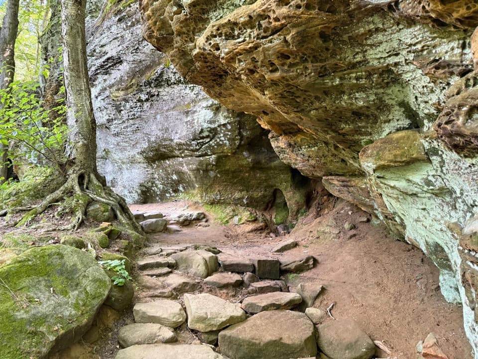
Salt Run Trail is a 3.3-mile loop through the forested Kendall Hills, dipping into wooded ravines and climbing back out. Plan on about two hours. Repeated short grades, rough dirt-and-gravel tread, and stair flights make it a moderate-to-difficult outing with more effort than the mileage suggests. This is the choice for a hilly forest walk, not a waterfront circuit around Kendall Lake. A signed Salt Run shortcut makes a shorter loop of about 1.8 miles; Lake Trail is the separate, easier shoreline walk.
Park at Pine Hollow Trailhead off Quick Road. The Salt Run entrance starts on the left side of the lot when you're facing the hills, so look for its sign before walking downhill toward the lake connectors. The route first crosses the open top of Kendall Hills, then enters the woods. Follow the outer Salt Run circuit for the full distance; a marked cut-through shortens it. Late-summer flowers and butterflies add a seasonal touch around the open meadow, a break from the shaded forest below.
The first stretch climbs through mixed oak, hickory and beech, with darker white and red pines in the mix. Around a mile in, the trail passes White Oak Spring, then rolls through wooded ground and drops toward lower ravines. The forest alternates between tight, brushy path and wider patches where the slope opens. One stretch near Truxell Road is close enough for traffic sound to carry through the trees.
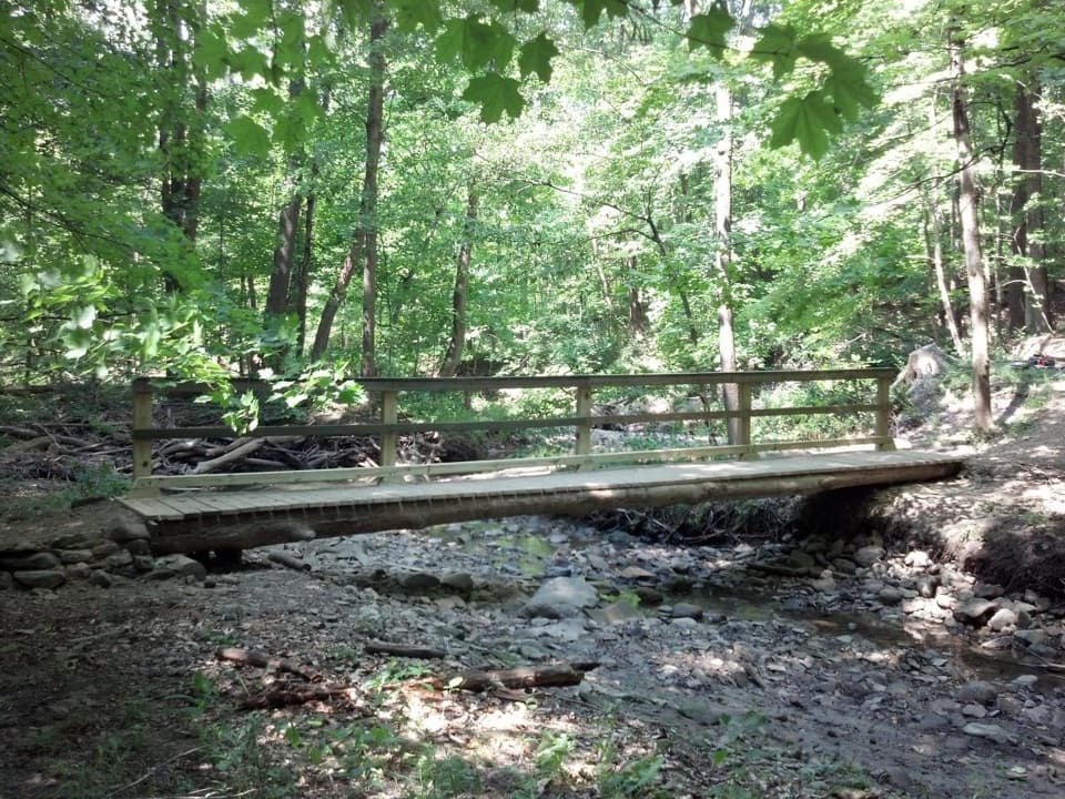
Short wooden bridges cross drainage channels. On the return half, a bridge leads into the longest stair section, a 90-step wooden flight without a handrail. A shorter dirt stairway appears elsewhere on the loop. Roots and loose ground make the descents the places to watch your footing, especially when leaves cover the tread. Beyond the long climb, the path levels briefly among pines before the last rise back to Pine Hollow.
The name ties to the landscape: in 1934 and 1935, the Civilian Conservation Corps dammed Salt Run to form Kendall Lake. The lake was built as a recreation spot for swimming and winter skating and tobogganing; today it draws anglers and walkers. The lake itself is not on the Salt Run loop, but its separate trail is an easy add-on if you have time after the hills.
Pine Hollow was farmed in the 1800s before industrialist Hayward Kendall assembled valley land as a retreat and gave it for a park named for his mother, Virginia Kendall. The Civilian Conservation Corps planted white and red pines in the 1930s to speed forest recovery. Those dark stands now punctuate woods of oak, hickory and beech reclaiming former fields, while the upper meadow stays open for flowers and pollinators.
Pine Hollow has a large parking lot, flush restrooms, drinking water, picnic tables, benches and an information kiosk. Fill bottles and use the facilities before starting; no route-side water or food service was found. Dogs may join the hike on a leash no longer than six feet.
Wildlife
 319 sightingsBald EagleMost seen around 7 AMSighting map
 12 sightingsRiver OtterMost seen around 7 AMSighting map
 103 sightingsCoyoteMost seen around 7 PMSighting map
 248 sightingsBeaverMost seen around 8 PMSighting map
 494 sightingsWhite-tailed DeerMost seen around 6 AMSighting map
 102 sightingsTrumpeter SwanMost seen around 5 PMSighting map
Sighting maps show where each species has been reported across Cuyahoga Valley. Wildlife moves, so no sighting is guaranteed.
Keep exploring
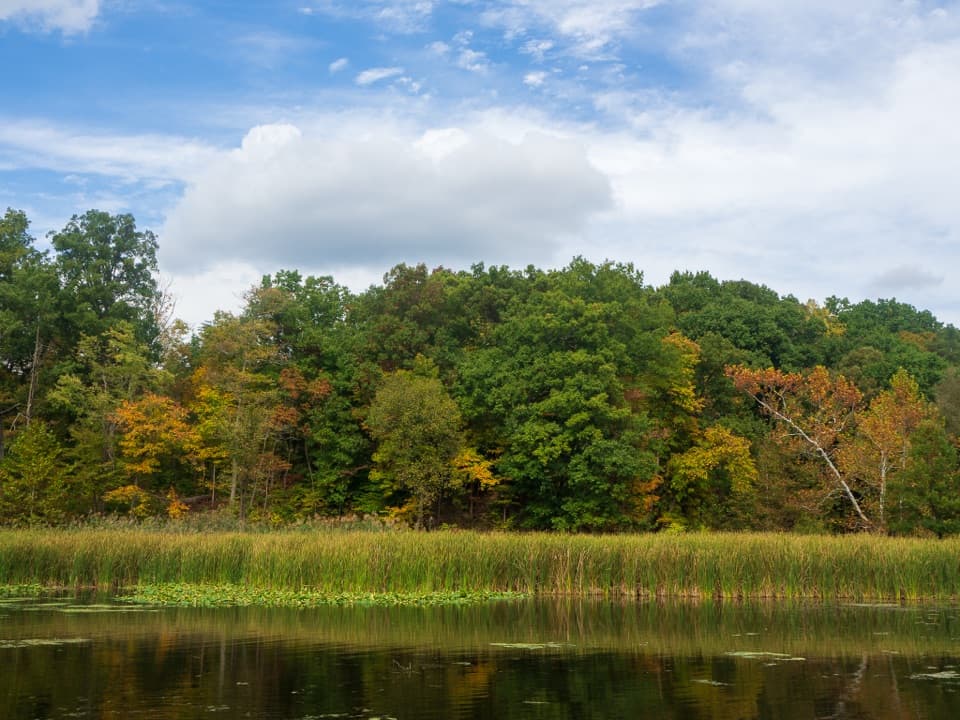 EasyLake Trail1 mi · 45 min · 0.4 mi awayA gentle loop threads a stone tunnel and marshy lake shore.
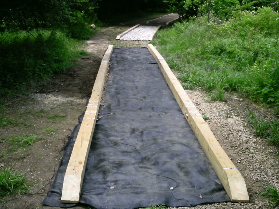 ModerateCross Country Trail2.5 mi · 1.5 hr · 0.4 mi awayA hilly dirt loop through a field returning to forest.
 EasyDickerson Run Trail1.2 mi · 40 min · 0.6 mi awayA shaded, gradual connector from Langes Run to Wetmore.
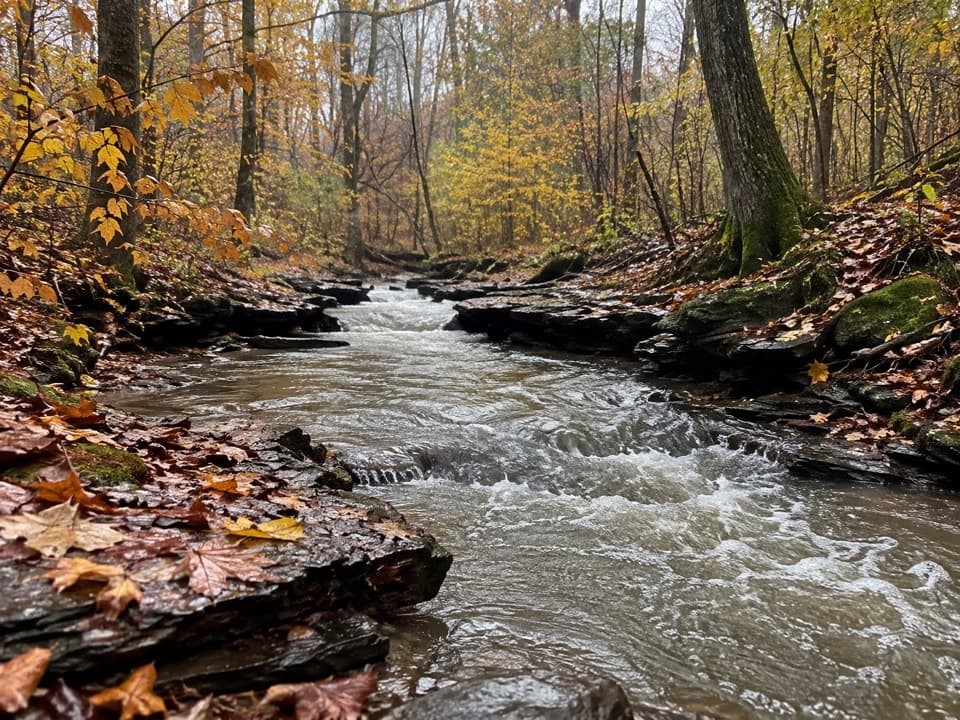 ModerateWetmore Trail4.6 mi · 2.5 hr · 0.7 mi awayA hilly woods loop with creeks and old farm paths
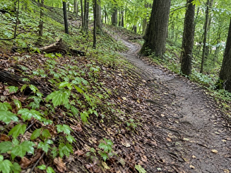 ModerateLanges Run Trail3.3 mi · 2.5 hr · 0.7 mi awayA hilly woodland trail shared with horses, creeks and wildflowers
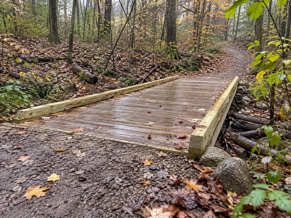 EasyTabletop Trail0.7 mi · 30 min · 0.7 mi awayA short dirt segment through the Wetmore trail network.
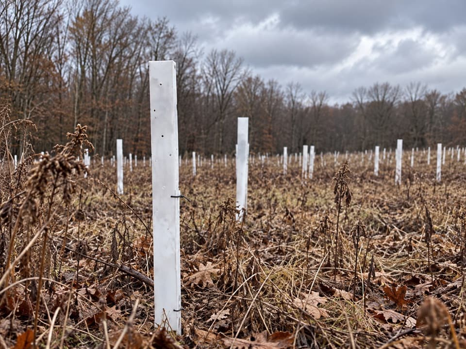 EasyButlers Trail0.7 mi · 18 min · 0.7 mi awayA short rolling dirt path into the Wetmore trail network.
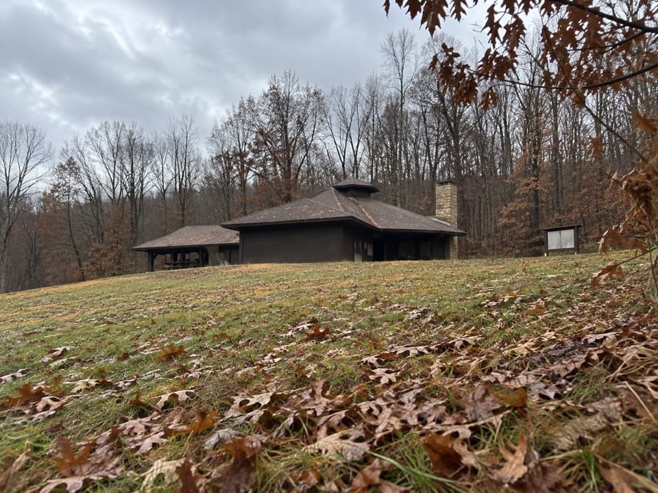 EasyForest Point Trail0.5 mi · 30 min · 1.2 mi awayA flat half-mile walk with a picnic shelter at the start.
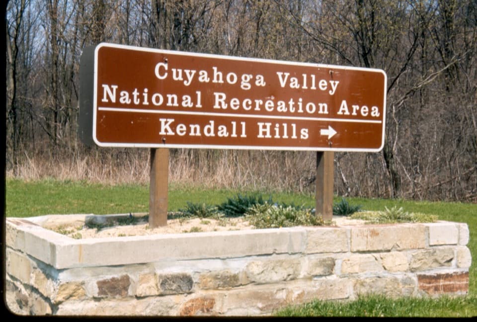 Sight · At the trailheadKendall HillsSledding slopes in winter; trails and meadows through the year.
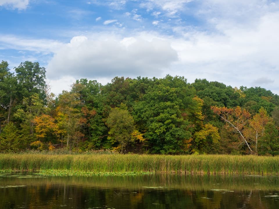 Sight · 0.3 mi awayKendall LakeA CCC lake, fishing pier and shelter in one easy stop.
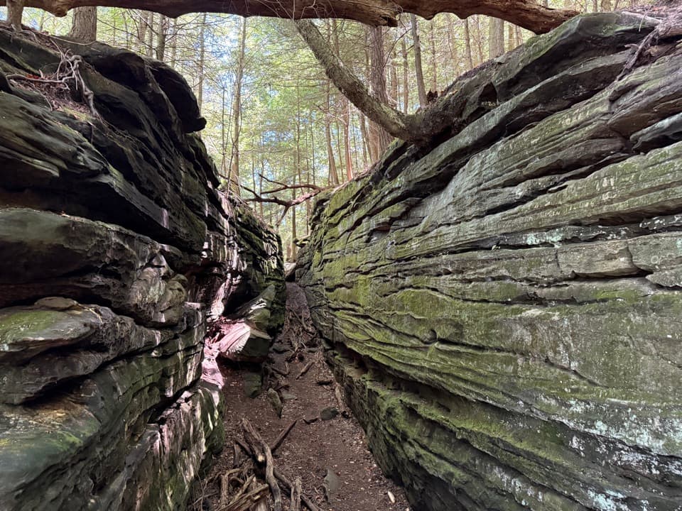 Sight · 1.1 mi awayThe LedgesWalk sandstone crevices, then catch a west-facing view over the valley.
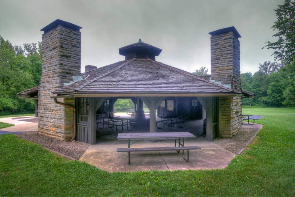 Picnic area · 1.2 mi awayOctagon ShelterA low-roofed CCC shelter beside the Ledges trails.
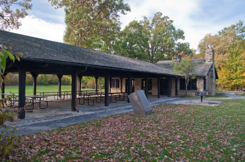 Picnic area · 1.3 mi awayLedges ShelterCCC-built group picnic shelter beside the Ledges Trailhead
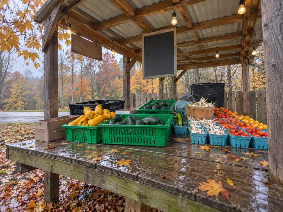 Store · 1.5 mi awayTrapp Family FarmEggs and seasonal produce from a draft-horse farm stand.
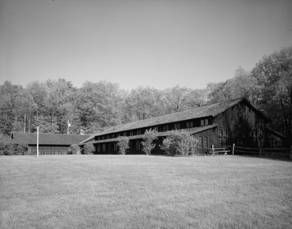 Sight · 1.6 mi awayHappy Days LodgeA CCC-built lodge for concerts, programs and special gatherings.
 Store · 1.7 mi awayKeleman Point FarmA year-round stand for the farm’s rotating local goods.
Parkwolf’s Cuyahoga Valley ranking

The audio tour guide for the drive, plus offline maps, trails, and wildlife heatmaps for when the signal drops.