Parking
Use the main Happy Days Lodge lot across State Route 303, then take the pedestrian tunnel. Parking behind the lodge is reserved for accessible parking and drop-off.
Cuyahoga Valley National Park, OH
A short ravine loop with a connector to the Ledges
Overview
Map & elevation
Plan your hike

The highest, rockiest slopes around here are a summer buffet for grizzly bears.
Cuyahoga Valley Tour Guide
Parkwolf is a GPS audio tour guide for Cuyahoga Valley National Park. As you drive, it chimes in with what’s ahead: hidden gems, upcoming stops, history, geology, and wildlife, right through your car’s speakers.
See the Cuyahoga Valley audio tourRecorded for this trailhead
Happy Days Lodge“Happy Days Lodge is coming up, a timber-and-sandstone building that began as a children's camp in the late nineteen thirties.”
Plays as you drive up to this trailhead in the Parkwolf Cuyahoga Valley Tour Guide.
More stories near here in the app
“Fantastic app with many points of information… It’s great to just turn on while you’re driving and it gives you an audio tour of the national Park. We love it!!!!”


Trail guide
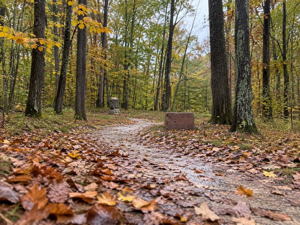
Haskell Run Trail is an easy loop behind Happy Days Lodge that drops into a wooded ravine along Haskell Run, a Cuyahoga tributary. The park lists it at 0.5 mile; the connected mapped loop measures about 0.6 mile, so allow 30 to 40 minutes if you linger at the stream or cemetery. It is a pleasant short change of pace, but too brief to make a day of by itself.
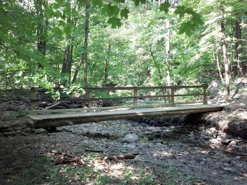
The path descends through leafy woods, follows the creek valley, crosses small bridges, then climbs back toward the lodge. A short stair section is part of the mapped loop. At the midpoint, a connector leads toward the Ledges; that optional spur is outside the Haskell Run loop distance.
Mater Dolorosa, also called Cassidy Cemetery, sits among the trees along the route. This small nineteenth-century burial ground has about two dozen graves. A memorial marks Thomas C. Coady, a Civil War veteran who died in the 1865 Sultana disaster; his body was never recovered. Stay on the trail through the cemetery.
April and May are the best months for the park's abundant spring wildflowers. Summer brings birdsong in the ravine, while autumn color and winter snow keep the short loop interesting in other seasons.
Park in the main Happy Days Lodge lot across State Route 303 and use the pedestrian tunnel. The lot behind the lodge is reserved for accessible parking and drop-off. Leashed pets are allowed; keep the leash six feet or shorter. The separate Ledges loop is 1.8 miles, with a short connector from Haskell Run, so add its distance only if you continue. The lodge lists restrooms and drinking water, but confirm access before relying on them; food service on the route was not found.
Wildlife
 319 sightingsBald EagleMost seen around 7 AMSighting map
 12 sightingsRiver OtterMost seen around 7 AMSighting map
 103 sightingsCoyoteMost seen around 7 PMSighting map
 248 sightingsBeaverMost seen around 8 PMSighting map
 494 sightingsWhite-tailed DeerMost seen around 6 AMSighting map
 102 sightingsTrumpeter SwanMost seen around 5 PMSighting map
Sighting maps show where each species has been reported across Cuyahoga Valley. Wildlife moves, so no sighting is guaranteed.
Keep exploring
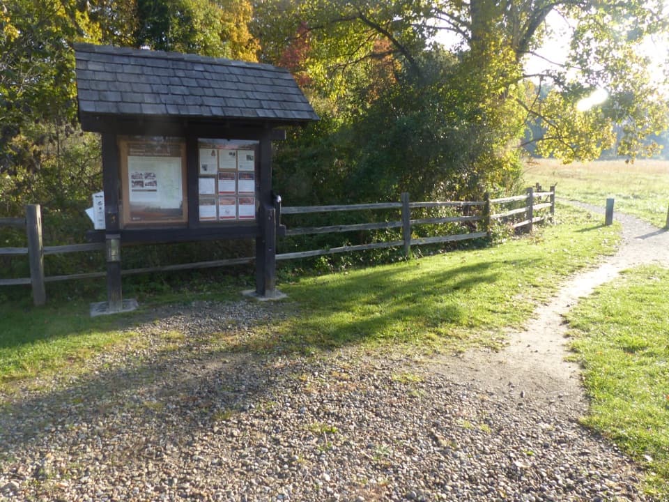 ModerateBoston Run Trail3.1 mi · 2 hr · 0.2 mi awayA shaded stream loop over rocky ravines and ridges
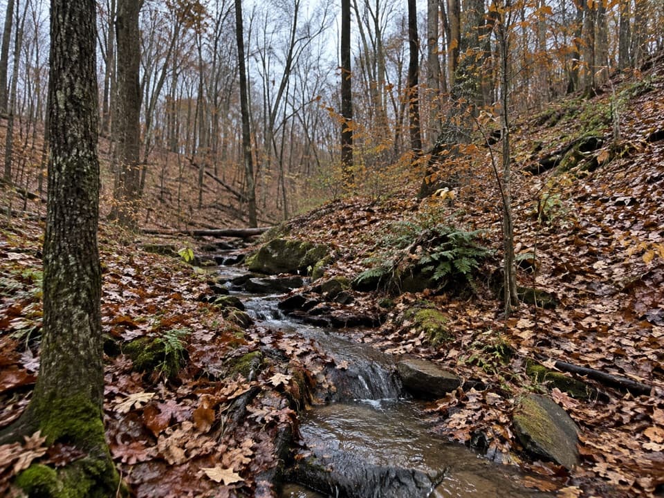 EasyPine Grove Trail2.2 mi · 1.4 hr · 0.4 mi awayTwo shaded miles through planted pines, footbridges, and wooded ravines.
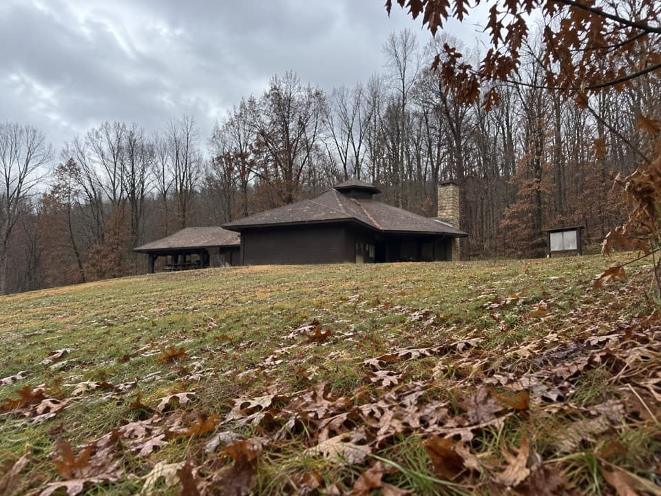 EasyForest Point Trail0.5 mi · 30 min · 0.4 mi awayA flat half-mile walk with a picnic shelter at the start.
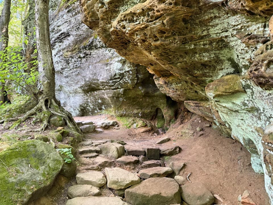 ModerateLedges Trail1.8 mi · 1.5 hr · 0.4 mi awayA rocky loop through sandstone walls and a remarkable staircase.
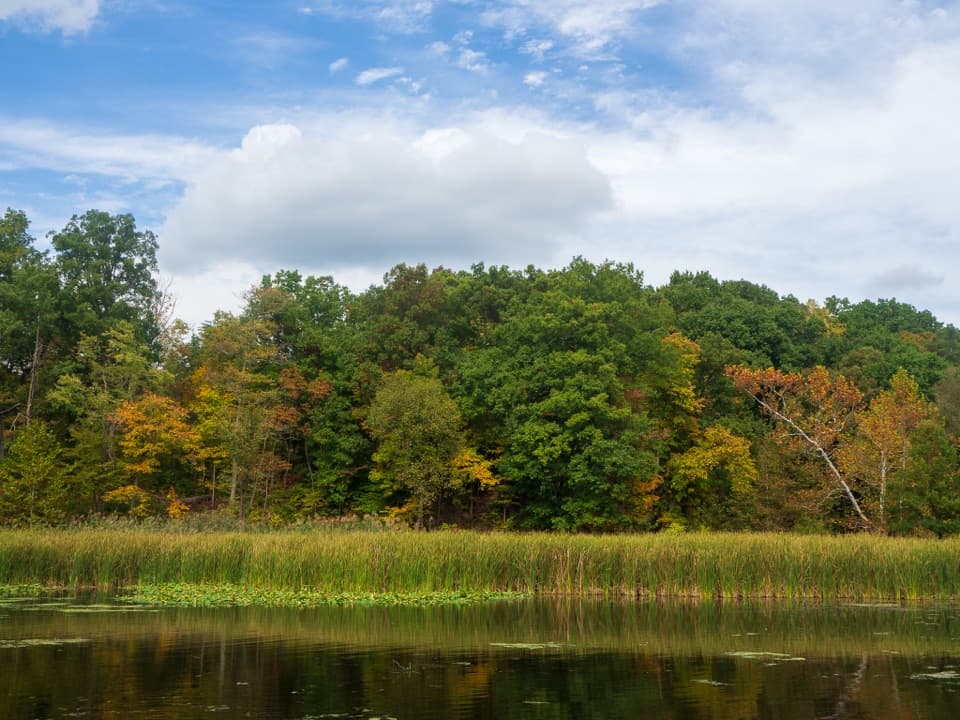 EasyLake Trail1 mi · 45 min · 1.2 mi awayA gentle loop threads a stone tunnel and marshy lake shore.
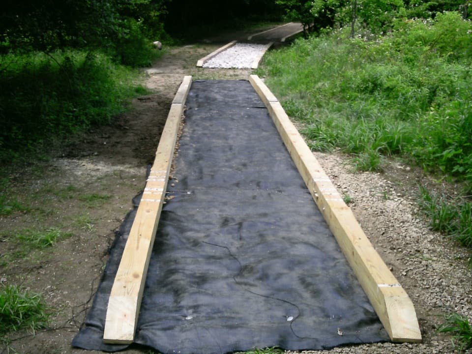 ModerateCross Country Trail2.5 mi · 1.5 hr · 1.2 mi awayA hilly dirt loop through a field returning to forest.
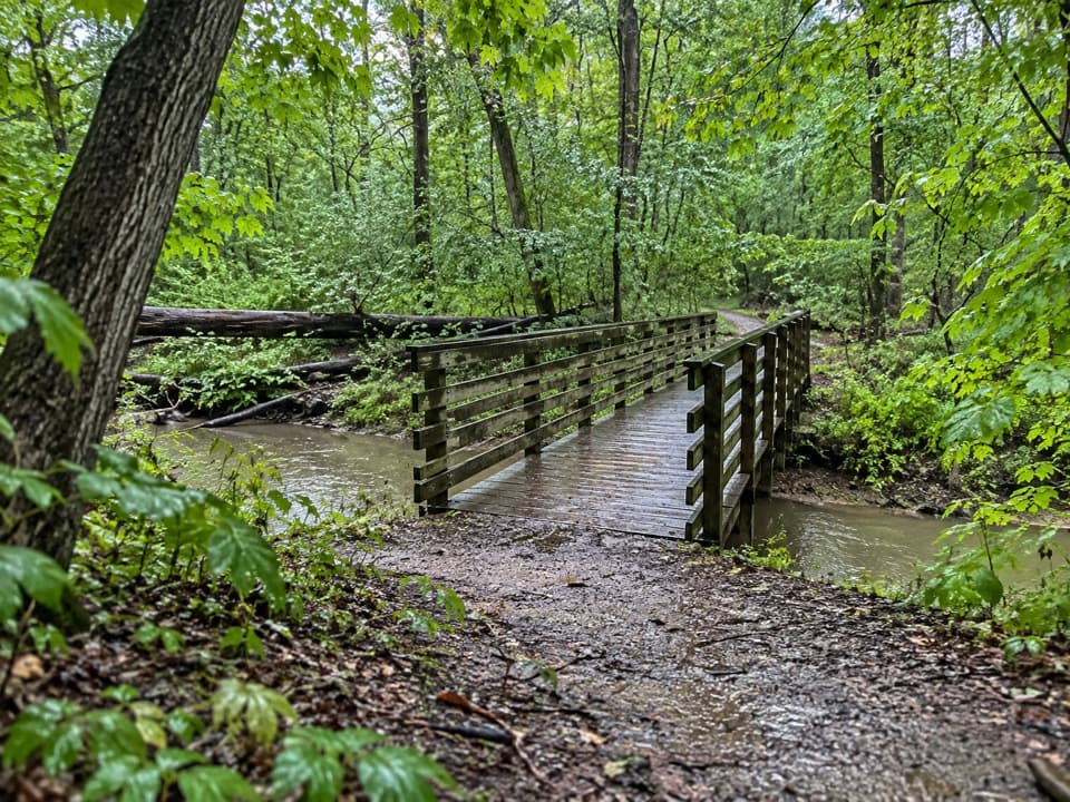 ModerateSalt Run Trail3.3 mi · 2 hr · 1.6 mi awayA 3.3-mile woods loop with bridges, ravines and a long stair climb.
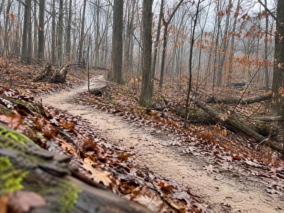 ModerateEast Rim Trail2.3 mi · 1.3 hr · 1.8 mi awayA hilly 2.3-mile loop shared with mountain bikers.
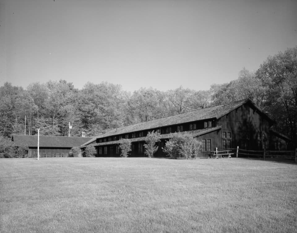 Sight · At the trailheadHappy Days LodgeA CCC-built lodge for concerts, programs and special gatherings.
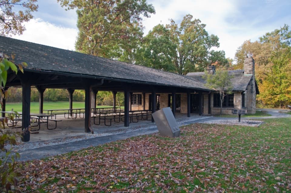 Picnic area · 0.4 mi awayLedges ShelterCCC-built group picnic shelter beside the Ledges Trailhead
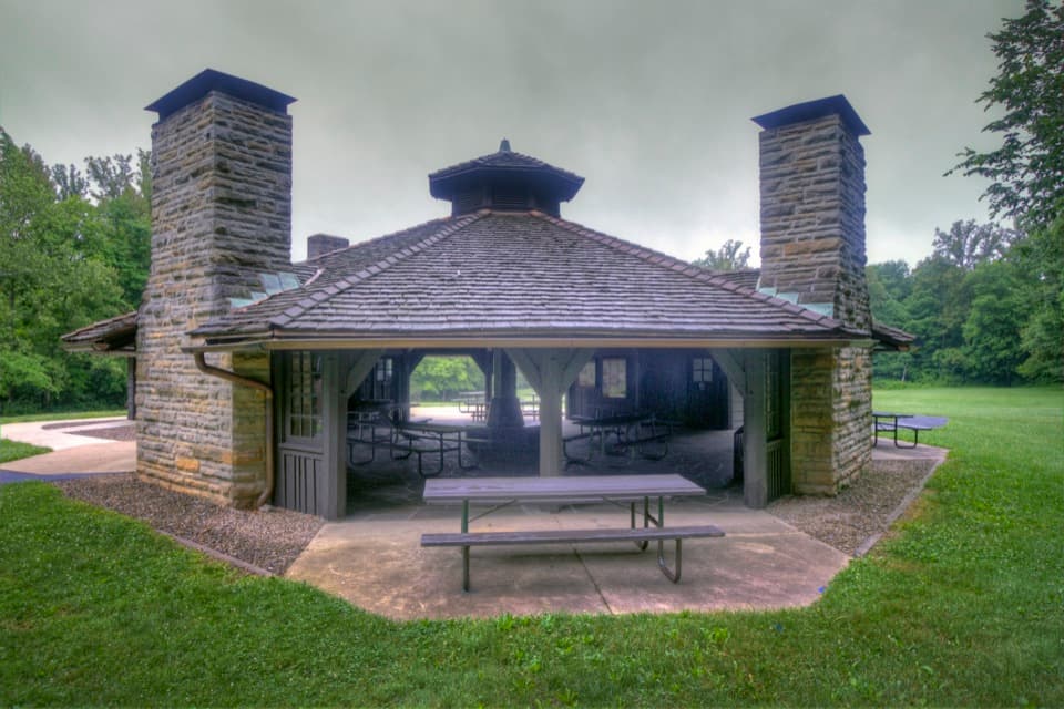 Picnic area · 0.4 mi awayOctagon ShelterA low-roofed CCC shelter beside the Ledges trails.
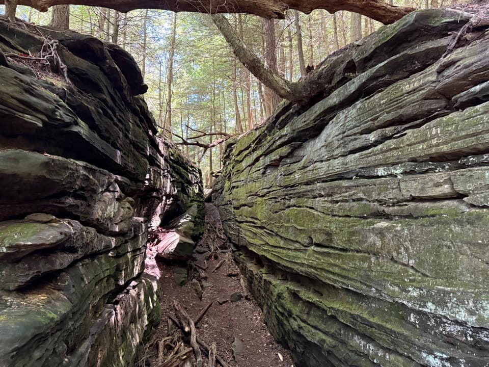 Sight · 0.7 mi awayThe LedgesWalk sandstone crevices, then catch a west-facing view over the valley.
 Store · 1.1 mi awayTrapp Family FarmEggs and seasonal produce from a draft-horse farm stand.
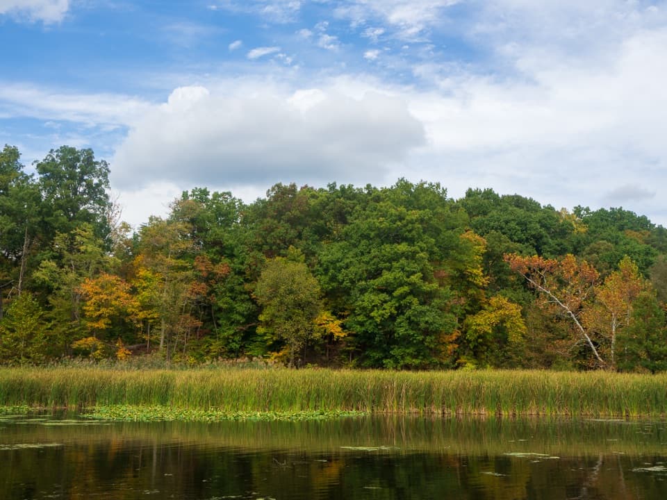 Sight · 1.3 mi awayKendall LakeA CCC lake, fishing pier and shelter in one easy stop.
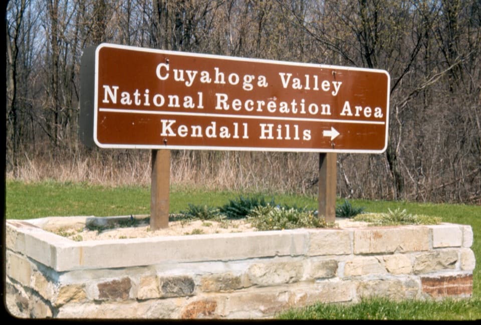 Sight · 1.6 mi awayKendall HillsSledding slopes in winter; trails and meadows through the year.
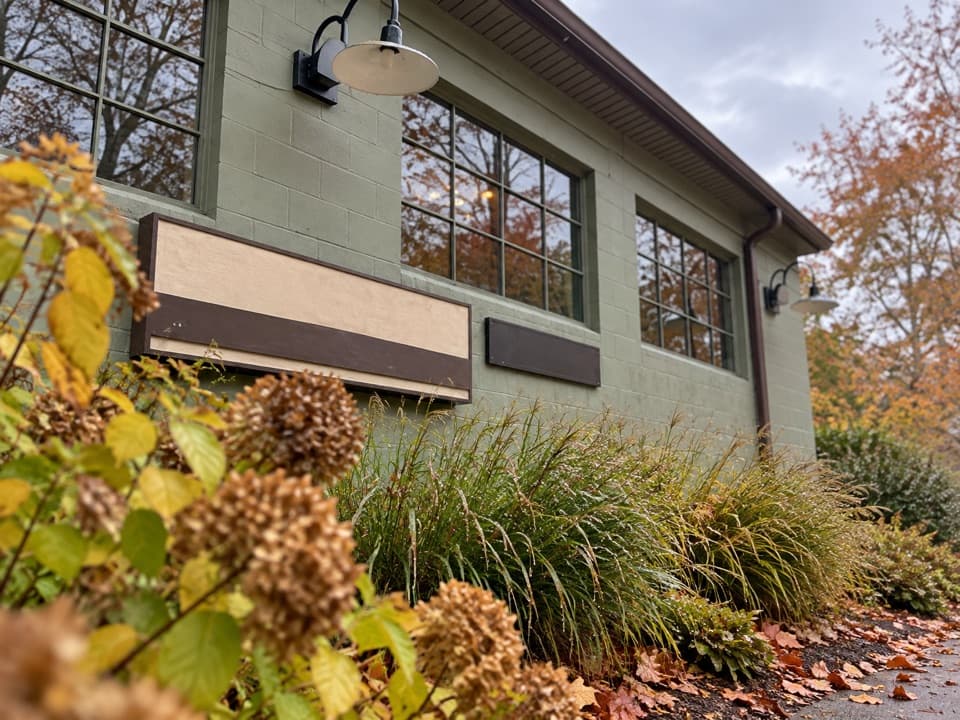 Store · 2.3 mi awayTrail Mix PeninsulaGifts, ice cream, and a train track right beside the shop.
Parkwolf’s Cuyahoga Valley ranking

The audio tour guide for the drive, plus offline maps, trails, and wildlife heatmaps for when the signal drops.