Parking
Park at East Rim Trailhead, 281 Boston Mills Road. Walk north on Bike & Hike; the second access on the left serves Lamb Loop and Edson Run. A restroom is marked at the trailhead.
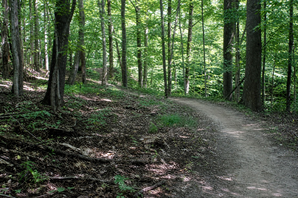
Cuyahoga Valley National Park, OH
Rocky singletrack drops to a stream before climbing out.
Overview
Map & elevation
Plan your hike

The highest, rockiest slopes around here are a summer buffet for grizzly bears.
Cuyahoga Valley Tour Guide
Parkwolf is a GPS audio tour guide for Cuyahoga Valley National Park. As you drive, it chimes in with what’s ahead: hidden gems, upcoming stops, history, geology, and wildlife, right through your car’s speakers.
Recorded for this trailhead
East Rim Trailhead“You're nearing East Rim Trailhead, access to the park's first mountain-bike trail. Hikers can use the two-point-three-mile loop too, following a narrow, rocky track along a wooded plateau edge.”
Plays as you drive up to this trailhead in the Parkwolf Cuyahoga Valley Tour Guide.
More stories near here in the app
“Fantastic app with many points of information… It’s great to just turn on while you’re driving and it gives you an audio tour of the national Park. We love it!!!!”


Trail guide
Lamb Loop is the northern, hilly and rocky singletrack loop north of I-80. The route stored here is 4.8 miles from East Rim Trailhead: it follows Bike & Hike to the loop, circles Lamb Loop, then retraces the shared access. Allow about 2.5 hours on foot. Published distances span 4.7 to 5.0 miles and do not clearly share an access convention, so 4.8 describes the complete parking-to-parking line shown here.
Park at East Rim Trailhead, 281 Boston Mills Road, and walk north on Bike & Hike. The first left serves East Rim/Post Line; the second access serves Lamb Loop and Edson Run. Follow Lamb Loop's posted direction, which varies by day, and stay on its signed line where Edson Run branches. Parking and a restroom are marked at the trailhead.
The loop follows a plateau edge above ravines, drops to a stream near its midpoint, then climbs back out. Expect hills and rocky tread; the system is designed for intermediate mountain bikers, while hikers and runners share it with cyclists who may move quickly. A private residence borders the north edge, so remain on the signed route. Pets are prohibited. The trail closes when wet, icy or hazardous; follow current posted status.
Wildlife
 319 sightingsBald EagleMost seen around 7 AMSighting map
 12 sightingsRiver OtterMost seen around 7 AMSighting map
 103 sightingsCoyoteMost seen around 7 PMSighting map
 248 sightingsBeaverMost seen around 8 PMSighting map
 492 sightingsWhite-tailed DeerMost seen around 6 AMSighting map
 99 sightingsTrumpeter SwanMost seen around 5 PMSighting map
Sighting maps show where each species has been reported across Cuyahoga Valley. Wildlife moves, so no sighting is guaranteed.
Keep exploring
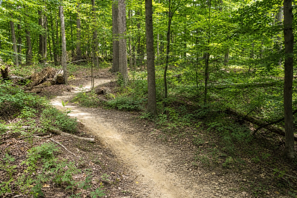 ModerateEast Rim Trail2.3 mi · 1.3 hr · At the trailheadA hilly 2.3-mile loop shared with mountain bikers.
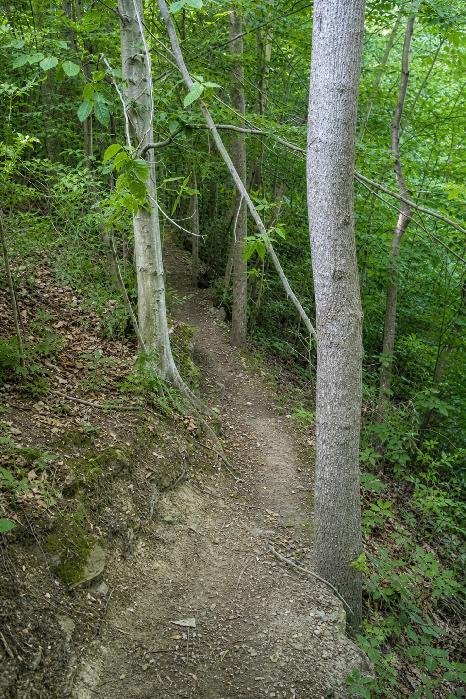 ModeratePost Line Trail2.3 mi · 1.5 hr · At the trailheadA boulder line adds a technical twist to East Rim's wooded loop.
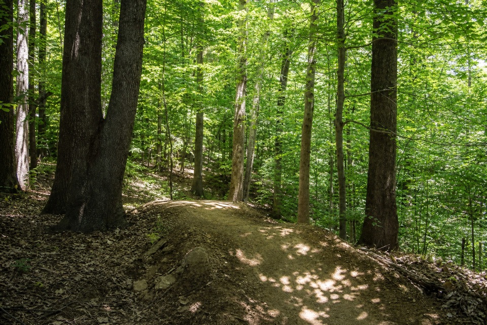 ModerateEdson Run Trail1.3 mi · 45 min · 0.3 mi awayA short, one-way singletrack from Bike & Hike to Lamb Loop.
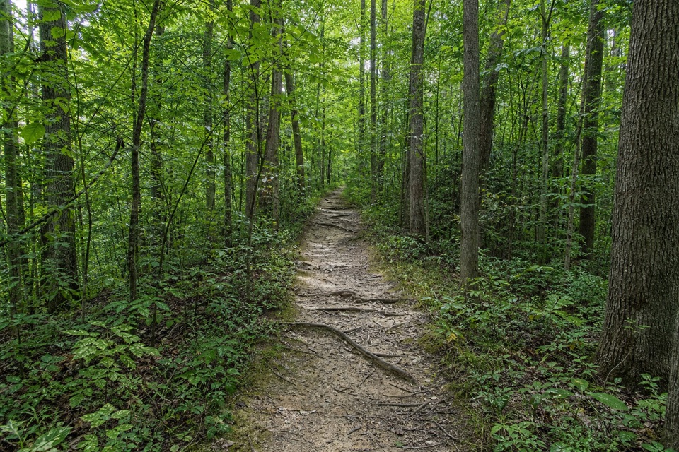 ModerateWildlife Woods Trail0.8 mi · 45 min · 0.9 mi awayA short, rooty climb with a longer trail loop nearby.
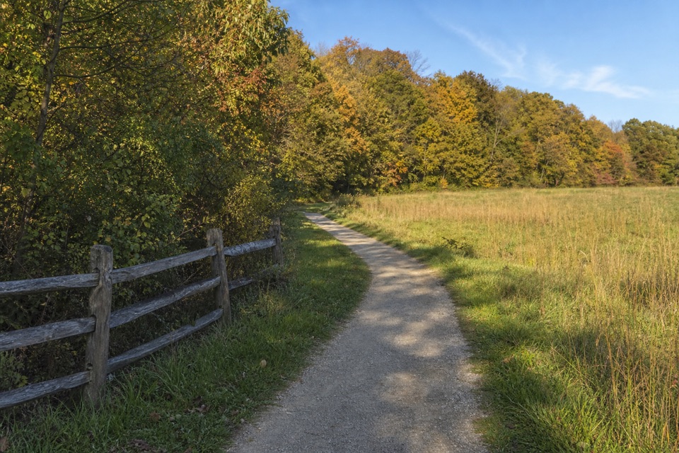 ModerateBoston Run Trail3.1 mi · 2 hr · 1.7 mi awayA shaded stream loop over rocky ravines and ridges
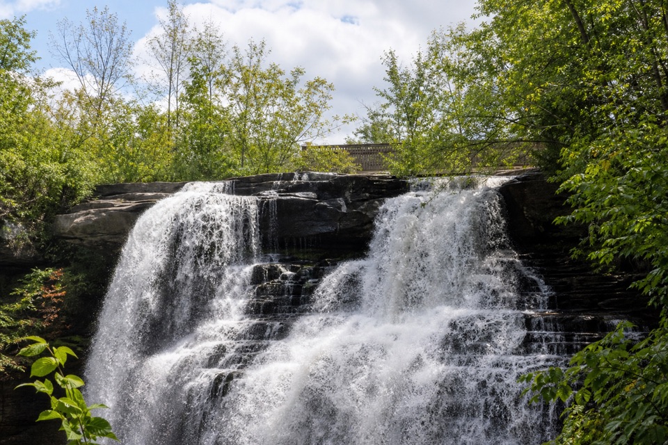 EasyBrandywine Falls Upper Boardwalk0.4 mi · 30 min · 1.8 mi awayA quick, accessible boardwalk looks down on Brandywine Falls.
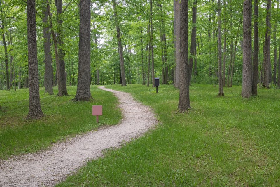 EasyHaskell Run Trail0.6 mi · 35 min · 1.8 mi awayA short ravine loop with a connector to the Ledges
 ModerateBrandywine Gorge Loop1.4 mi · 1 hr · 1.9 mi awayRocky gorge loop with a footbridge and Brandywine Falls views.
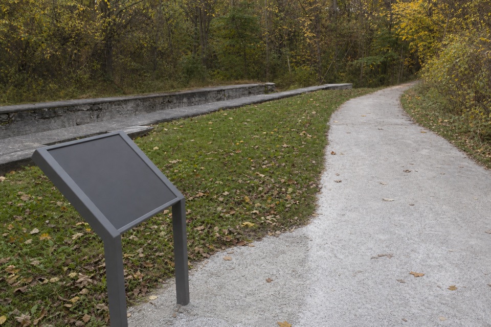 Sight · 1.4 mi awayLock 31One stop in a 44-lock, 395-foot canal ascent.
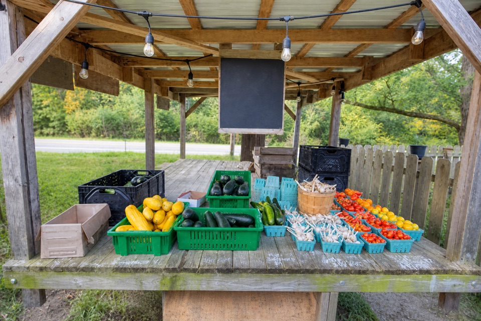 Store · 1.4 mi awayTrapp Family FarmEggs and seasonal produce from a draft-horse farm stand.
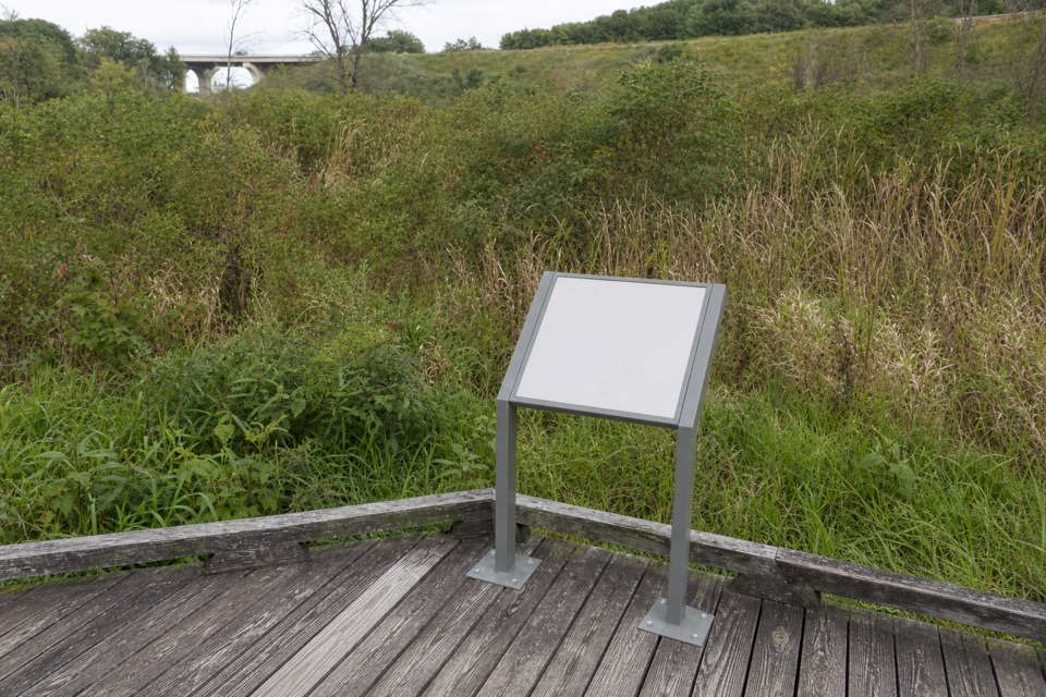 Sight · 1.5 mi awayStumpy BasinBoardwalk views over the wetland where canal boats once turned.
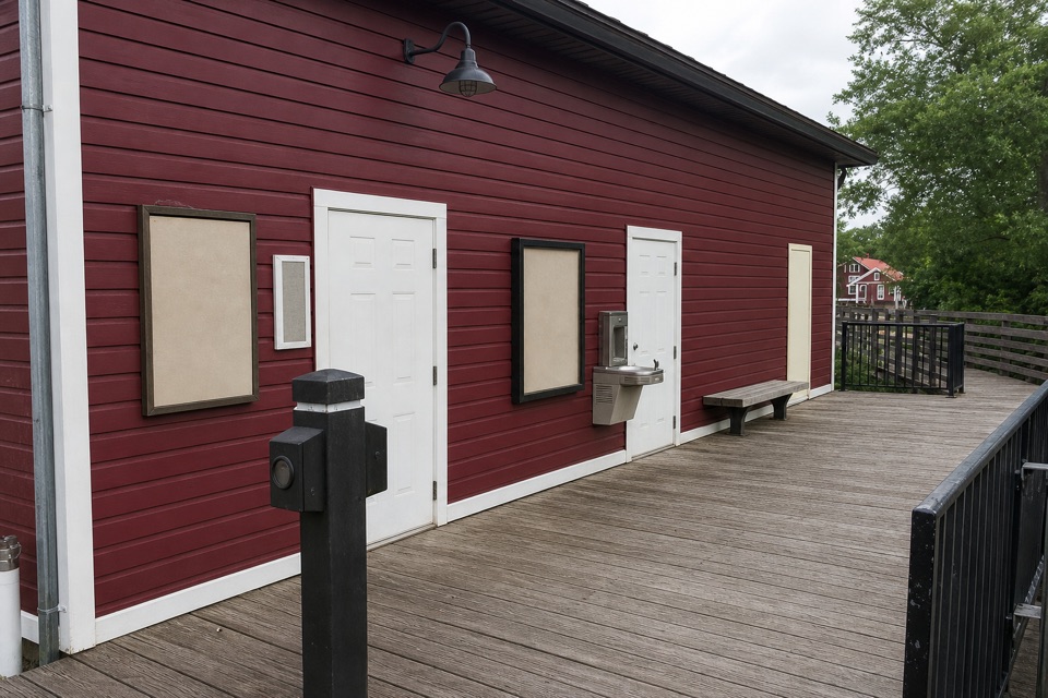 Restroom · 1.8 mi awayPeninsula Public RestroomsA practical trailhead stop with flush toilets and a railroad story.
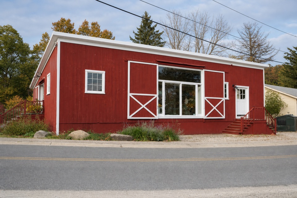 Store · 1.8 mi awayPurplebrown Farm StoreLocal groceries, coffee, and seasonal lunch in Peninsula.
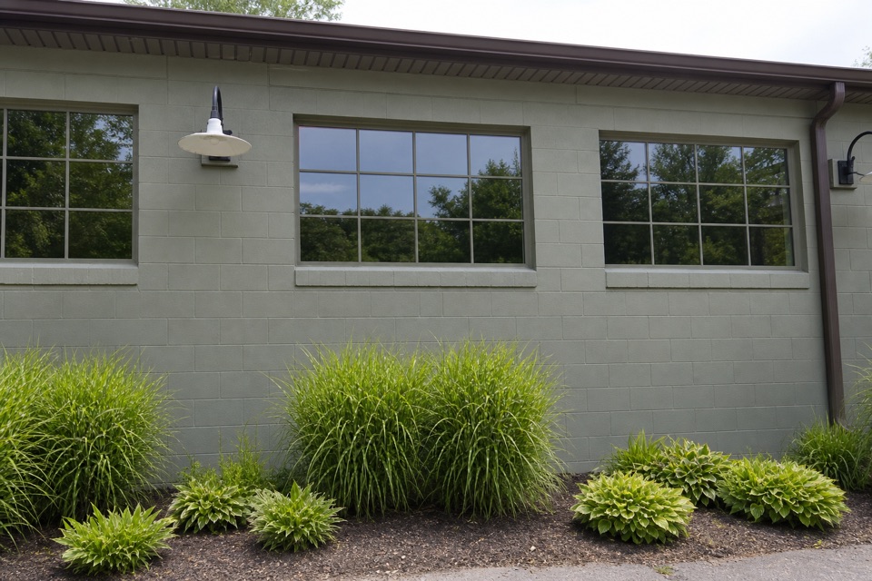 Store · 1.8 mi awayTrail Mix PeninsulaGifts, ice cream, and a train track right beside the shop.
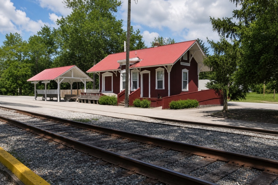 Sight · 1.8 mi awayPeninsula DepotCatch a train from the valley's only surviving historic depot.
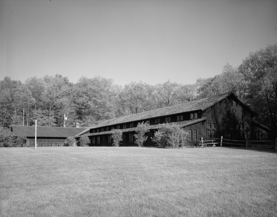 Sight · 1.8 mi awayHappy Days LodgeA CCC-built lodge for concerts, programs and special gatherings.
Parkwolf’s Cuyahoga Valley ranking

The audio tour guide for the drive, plus offline maps, trails, and wildlife heatmaps for when the signal drops.




