1 active Cuyahoga Valley alert
- ClosureCuyahoga River closure and paddling hazardsDo not paddle through the river-mile-17 closure or the woody-debris hazard upstream of Lock 39.Official details
Sight · Cuyahoga Valley National Park
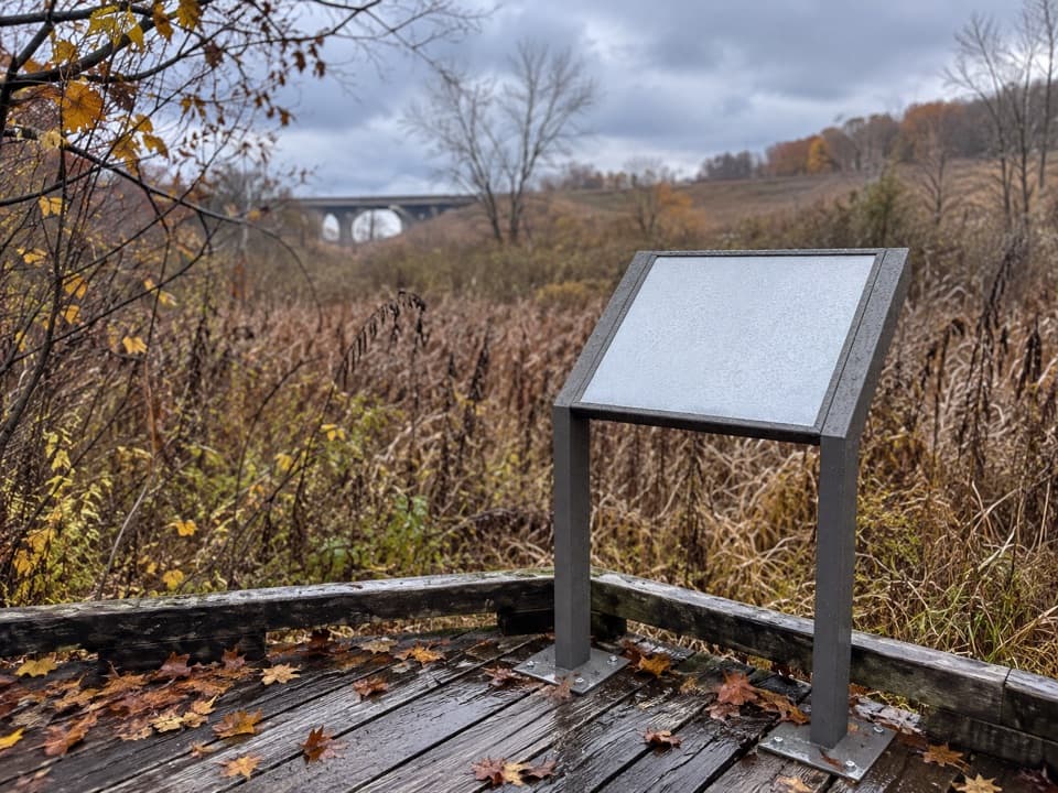
Boardwalk views over the wetland where canal boats once turned.
Overview
Map
Plan your stop

The highest, rockiest slopes around here are a summer buffet for grizzly bears.
Cuyahoga Valley Tour Guide
Parkwolf is a GPS audio tour guide for Cuyahoga Valley National Park. As you drive, it chimes in with what’s ahead: hidden gems, upcoming stops, history, geology, and wildlife, right through your car’s speakers.
See the Cuyahoga Valley audio tourRecorded for this place
Boston Store“Boston Store is ahead, a handy place for an ice cream break beside the Towpath. Seasonal sandwiches and salads make it useful for picking up a picnic, too; think takeaway food rather than a sit-down restaurant.”
Plays as you drive up to Stumpy Basin in the Parkwolf Cuyahoga Valley Tour Guide.
More stories near here in the app
“Fantastic app with many points of information… It’s great to just turn on while you’re driving and it gives you an audio tour of the national Park. We love it!!!!”


Guide
Stumpy Basin is a wetland on the Ohio & Erie Canal Towpath Trail, about a mile south of Boston. A wooden boardwalk crosses the marsh, with widened spots where you can step aside and look into the grasses. It is a quiet stop to add to a Towpath walk or ride if wetland plants and wildlife interest you; this is a subtler scene than the park’s waterfalls and overlooks. The boardwalk is listed as wheelchair-accessible. The usual approach is south from Boston Trailhead, about a mile along the Towpath.
The Ohio & Erie Canal was only 40 feet wide, too narrow for its long boats to turn easily. Basins like this widened the waterway so boats could swing around, tie up overnight, or wait to load and unload at Boston or Peninsula. When winter ice stopped canal traffic, boats were stored here. Later, workers cut ice into two-by-four-foot blocks once it reached about a foot thick, packed the blocks in sawdust-filled icehouses, and shipped them to Cleveland or Akron for iceboxes.
Widened boardwalk spots, benches, and interpretive panels make it easy to pause and take in the wetland. For a photo, use the boardwalk edge to lead into the grasses, so the frame shows how the Towpath crosses the marsh rather than only the marker. Bring your own water and snacks for the walk; no on-site food service was verified.
Wildlife
 321 sightingsBald EagleMost seen around 7 AMSighting map
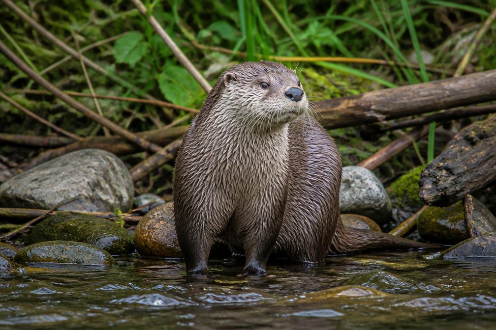 12 sightingsRiver OtterMost seen around 7 AMSighting map
 103 sightingsCoyoteMost seen around 7 PMSighting map
 251 sightingsBeaverMost seen around 8 PMSighting map
 498 sightingsWhite-tailed DeerMost seen around 6 AMSighting map
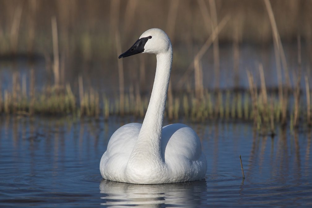 104 sightingsTrumpeter SwanMost seen around 5 PMSighting map
Sighting maps show where each species has been reported across Cuyahoga Valley. Wildlife moves, so no sighting is guaranteed.
Keep exploring
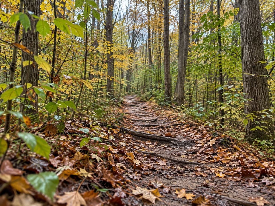 ModerateWildlife Woods Trail0.8 mi · 45 min · 0.5 mi awayA short, rooty climb with a longer trail loop nearby.
 ModerateBoston to Peninsula Buckeye and Towpath Loop7.4 mi · 4 hr · 0.7 mi awayClimb wooded ravines, then coast back beside the historic canal.
 ModerateBuckeye Trail Loop7.1 mi · 4 hr · 0.7 mi awayTake the hilly Buckeye leg out and flat Towpath back.
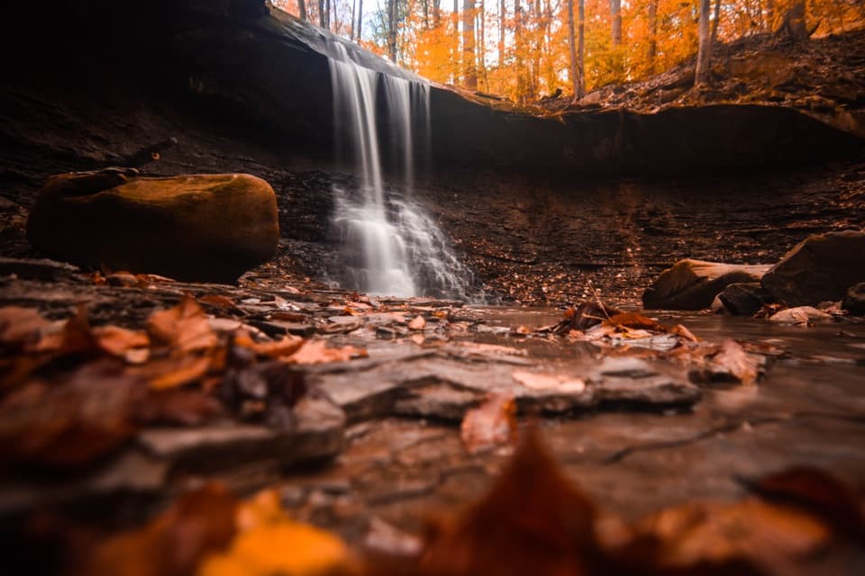
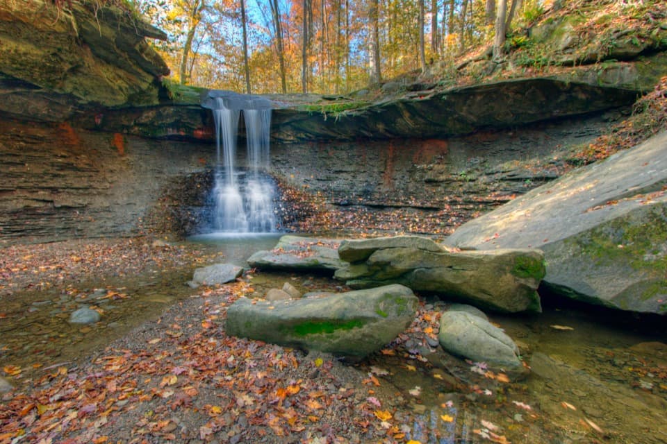 ModerateBlue Hen Falls Trail3 mi · 1.5 hr · 0.8 mi awayA steep Buckeye Trail climb ends at a 15-foot waterfall.
 ModerateButtermilk Falls via Blue Hen Falls3.5 mi · 2.5 hr · 0.8 mi awayTwo waterfalls, steep ridges, and a rough creekside finish.
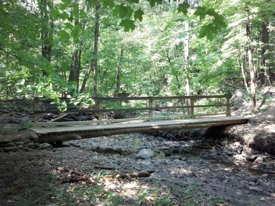 ModerateStanford Trail3.5 mi · 2.5 hr · 1.3 mi awayA wooden creek bridge and switchbacks lead to the falls.
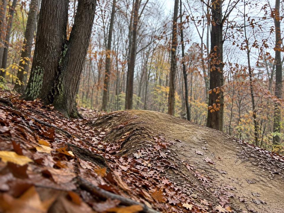 ModerateEdson Run Trail1.3 mi · 45 min · 1.4 mi awayA short, one-way singletrack from Bike & Hike to Lamb Loop.
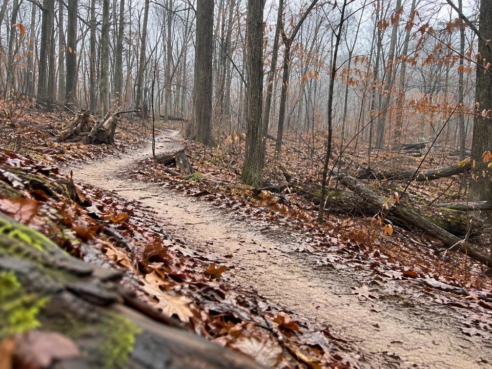 ModerateEast Rim Trail2.3 mi · 1.3 hr · 1.5 mi awayA hilly 2.3-mile loop shared with mountain bikers.
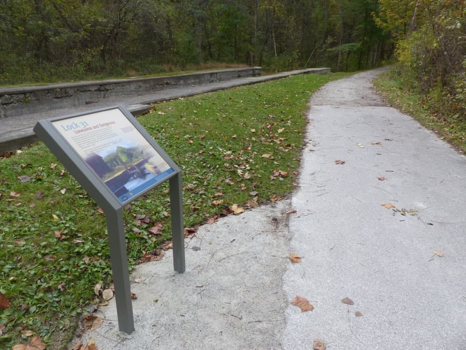 Sight · 0.3 mi awayLock 31One stop in a 44-lock, 395-foot canal ascent.
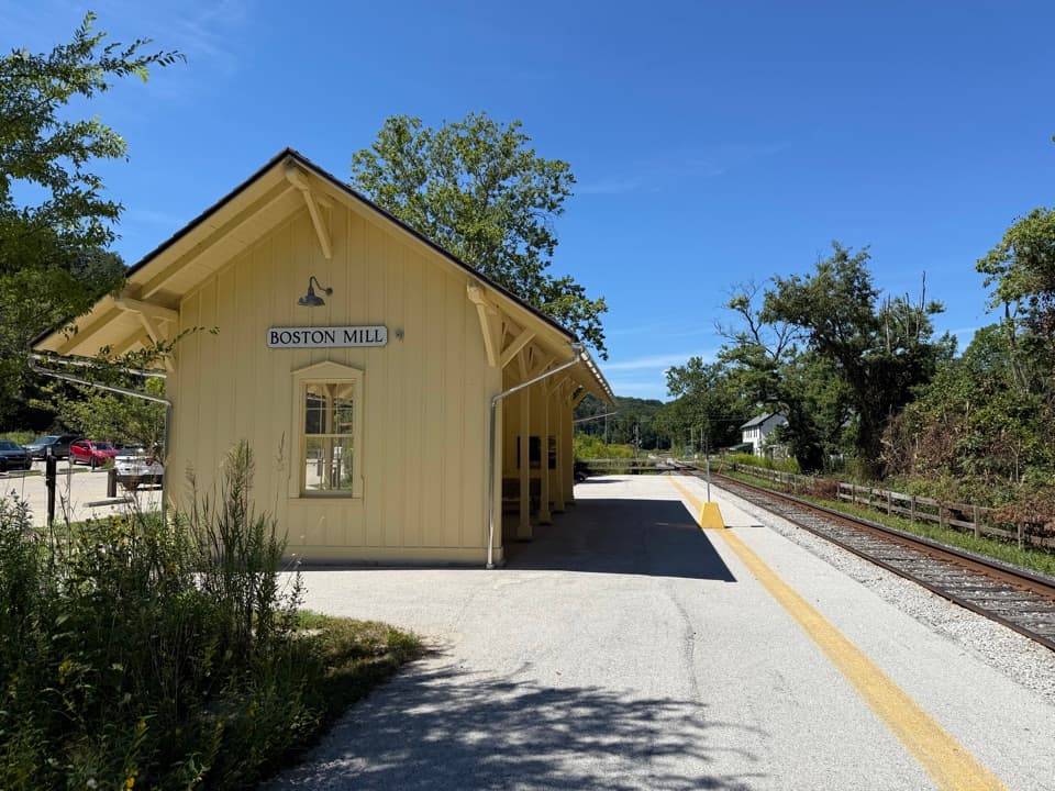 Sight · 0.8 mi awayBoston Mill StationA handy train stop for linking a ride with nearby trails.
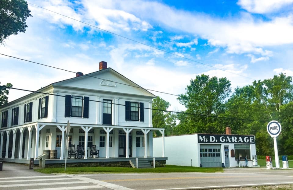 Store · 0.8 mi awayBoston StoreA canal-era store for ice cream beside the Towpath.
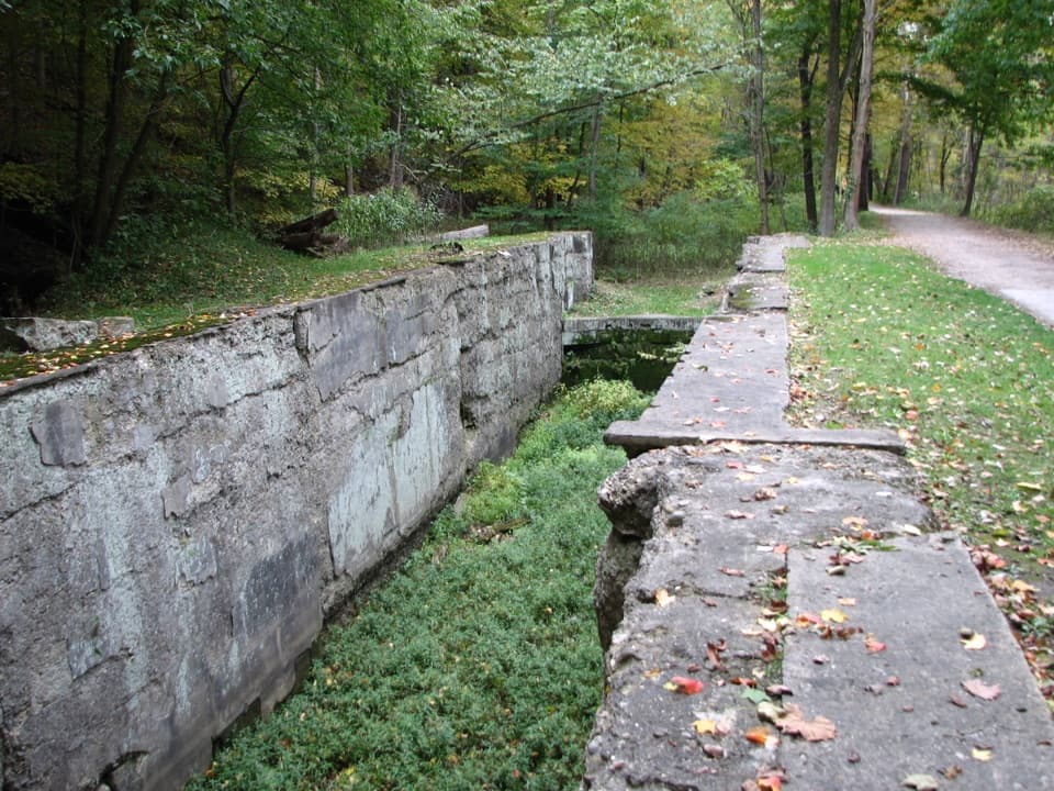 Sight · 0.8 mi awayLock 30Boat jams, pole jousts and a stone lock beside the Towpath.
 Visitor center · 0.8 mi awayBoston Mill Visitor CenterStart here for ranger advice and a tactile map of the valley.
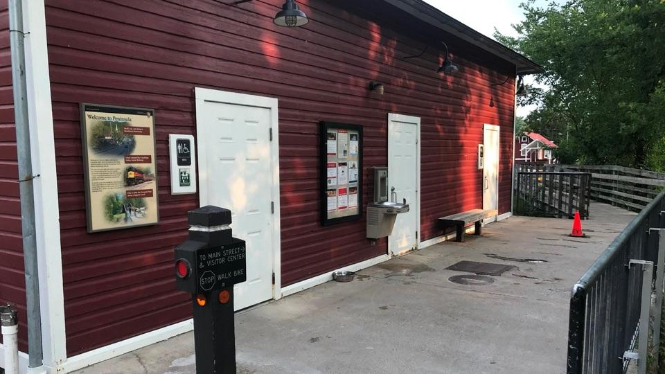 Restroom · 0.9 mi awayPeninsula Public RestroomsA practical trailhead stop with flush toilets and a railroad story.
 Sight · 0.9 mi awayLock 32Where canal boats waited, and Boston grew around them.Sight · 0.9 mi awayLock 29Step inside a sandstone lock that bottlenecked canal traffic.
Parkwolf’s Cuyahoga Valley ranking

The audio tour guide for the drive, plus offline maps, trails, and wildlife heatmaps for when the signal drops.