Cape Kimberley Beach in Daintree National Park

Beach · Daintree National Park

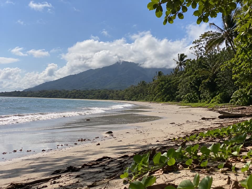
Cape Kimberley Beach

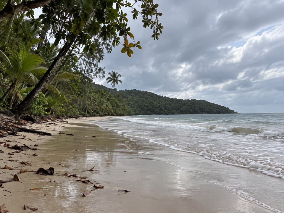
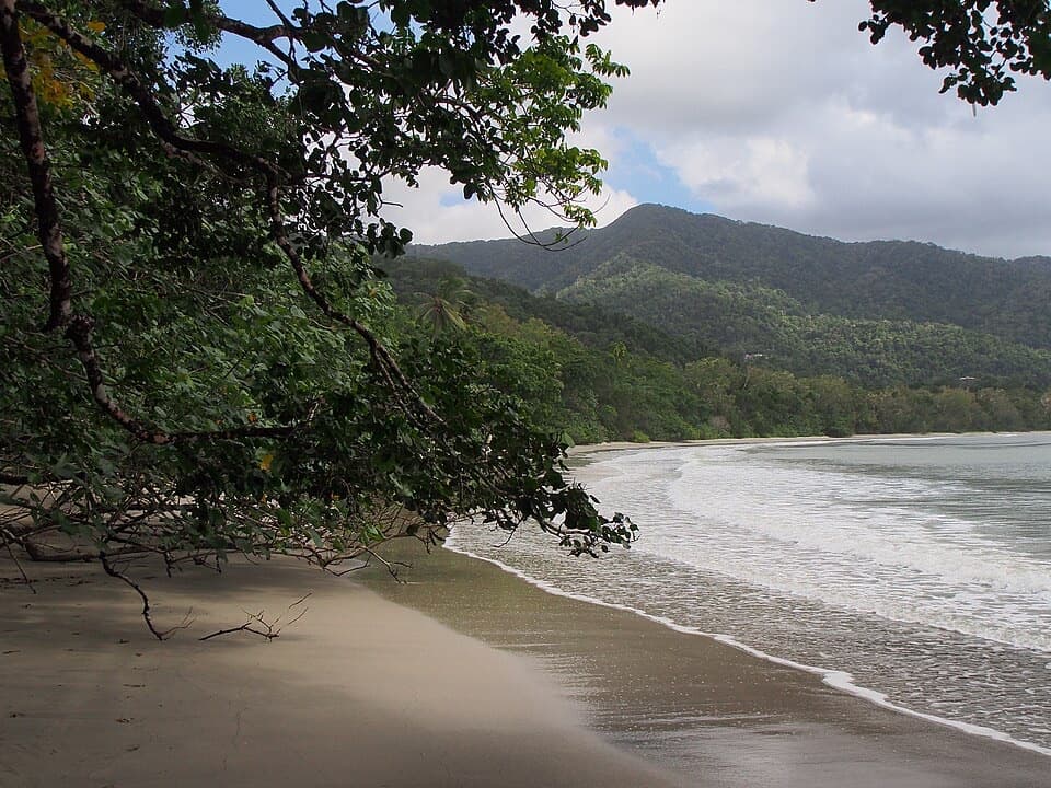
A long beach walk with Snapper Island offshore.

Type
Beach
Nearest trail
Right here
Audio stories
3 nearby
  • Parking

Hear the audio tour

Cape Kimberley Beach

Overview

About Cape Kimberley Beach

Why stop

  • Several kilometres of shore make this a proper coastal walk.
  • Snapper Island gives the shoreline a clear focal point.

Heads up

  • Crocodiles and marine stingers make this a poor swimming stop.

Map

Where it is

Loading the Daintree map
Full map
BeachCape Kimberley Beach-16.27604, 145.47439
Keep this map with you offline in the Parkwolf app

Plan your stop

Before you go

Getting there and staying safe

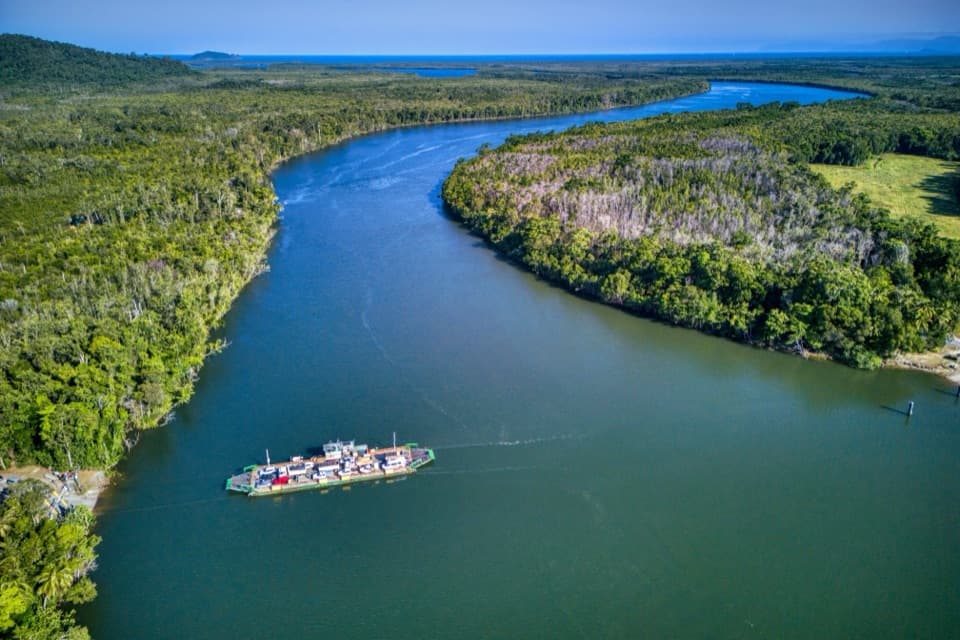
It’s a side trip via Cape Kimberley Road after crossing the Daintree River. The last stretch is unsealed, so allow more time than a roadside pull-in. Parking is available at the beach access, but I couldn’t confirm public toilets or drinking water there; bring your own water and sun protection.

Queensland Parks’ advice is clear: don’t swim where crocodiles may live. Marine stingers are another coastal hazard, so treat this as a shore walk and view rather than a swimming stop.

1 active Daintree alert

  • CautionCape Tribulation–Bloomfield Road: 4WD onlyThe Cape Tribulation–Bloomfield Road is open from Cape Tribulation through to Wujal Wujal, but restricted to four-wheel-drive vehicles because adverse driving conditions have left the surface…Official details
Daintree alerts
A park ranger sits on a dash-mounted phone, talking, as Parkwolf’s Tour Guide plays “Army Cutworm Moths: A Grizzly Bear Buffet” on Grand Loop Road below Dunraven Pass in Yellowstone
Parkwolf Tour GuideThe highest, rockiest slopes around here are a summer buffet for grizzly bears.

Daintree Tour Guide

Your drive to Cape Kimberley Beach, narrated.

Parkwolf is a GPS audio tour guide for Daintree National Park. As you drive, it chimes in with what’s ahead: hidden gems, upcoming stops, history, geology, and wildlife, right through your car’s speakers.

See the Daintree audio tour

Recorded for this place

Cape Kimberley Beach
0:00 / 0:26
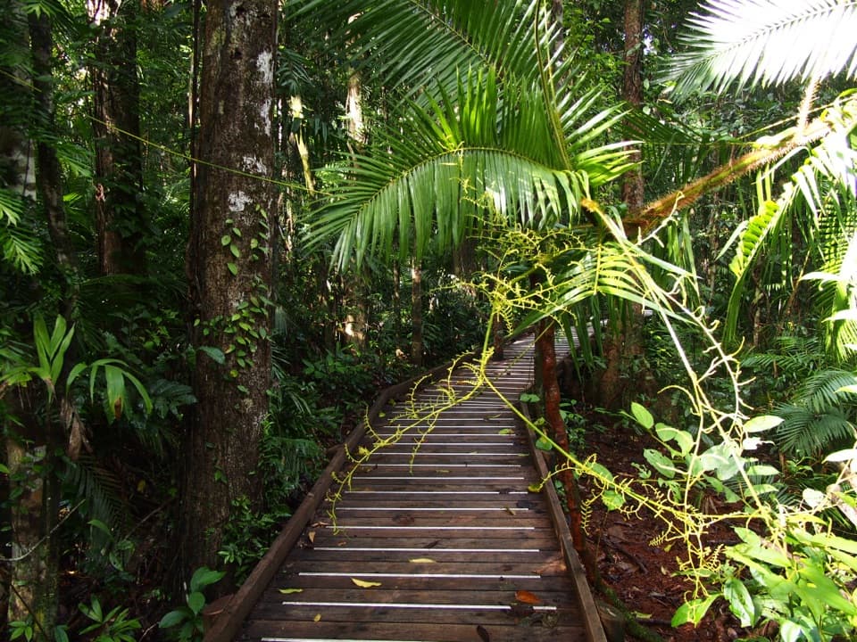
“Cape Kimberley Beach is ahead, with a long sweep of sand facing Snapper Island. From the car park, a short path through paperbark swamp brings you onto the shore.”

Plays as you drive up to Cape Kimberley Beach in the Parkwolf Daintree Tour Guide.

More stories near here in the app

  • The Fern's Leaf Basket
  • The Ants That Stitch Leaves
  • The Daintree Handback
  • Cow Bay Beach
  • 38 audio storiesacross Daintree’s roads, triggered by GPS as you drive
  • Wildlife heatmapsfor Southern Cassowary, Saltwater Crocodile, Spectacled Flying-fox, and 13 more
  • Works offlinemaps, 22 trails, 36 places, and audio download before you lose signal
  • CarPlay readysimple controls built for the drive
★★★★★
“Fantastic app with many points of information… It’s great to just turn on while you’re driving and it gives you an audio tour of the national Park. We love it!!!!”
JMJamesApp Store review
Download Parkwolf on the App StoreGet Parkwolf on Google Play

4.7 from 8,600+ ratings

Guide

More about Cape Kimberley Beach

A long beach walkCape Kimberley Beach is a several-kilometre sandy shore on the Coral Sea, between Cape…

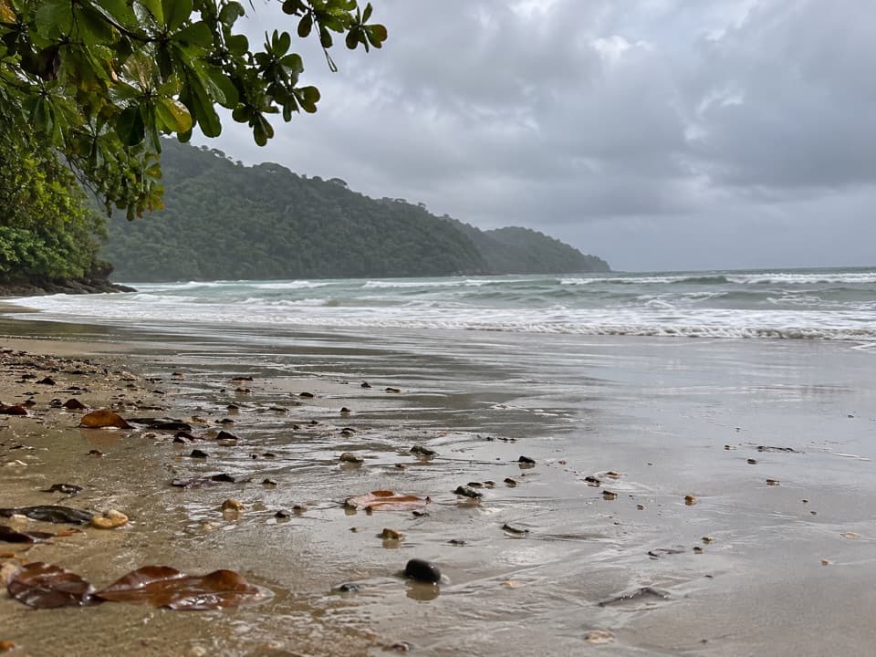
Cape Kimberley Beach is a several-kilometre sandy shore on the Coral Sea, between Cape Kimberley and the Daintree River mouth. The road reaches its northern end; from the beach car park, the river mouth is roughly 2.5 km along the sand, so make this a proper out-and-back walk rather than a quick stop. Snapper Island sits offshore, with the Low Isles farther out in the distance.

The view from the sandThe forested cape makes a green backdrop, with Snapper Island offshore and Low Isles farther…

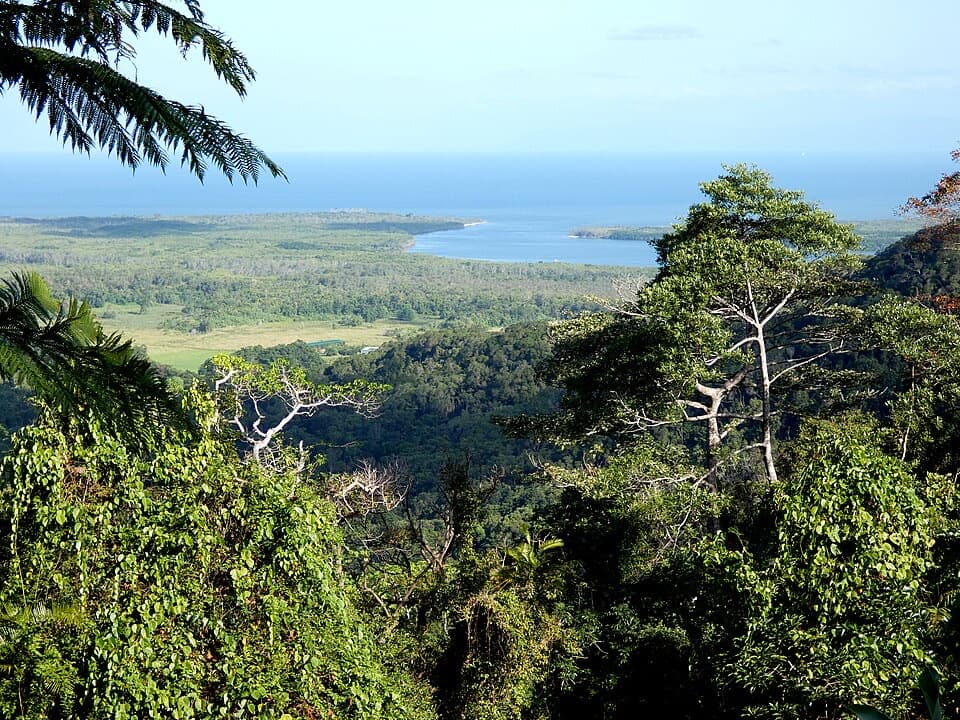
The forested cape makes a green backdrop, with Snapper Island offshore and Low Isles farther away. For a photograph, keep the headland at one edge and the open sea across the foreground; that gives the view more shape than pointing straight out over the water.

A name with a dateExplorer and politician George Elphinstone Dalrymple named the cape on 24 October 1873 for John…

Explorer and politician George Elphinstone Dalrymple named the cape on 24 October 1873 for John Wodehouse, 1st Earl of Kimberley, then Secretary of State for the Colonies. Snapper Island, in the view from the beach, is traditional sea country of the Eastern Kuku Yalanji.

Wildlife

Wildlife in Daintree

All Daintree wildlife maps

Sighting maps show where each species has been reported across Daintree. Wildlife moves, so no sighting is guaranteed.

Parkwolf’s Daintree ranking

Top sights in Daintree

All 36 places
  1. 1Cape Tribulation Beach (Kulki)Beach
  2. 2Mossman River Lookout (Baral Marrjanga)Sight
  3. 3Mount Alexandra Lookout (Walu Wugirriga)Sight
  4. 4Daintree Discovery CentreSight
  5. 5Myall BeachBeach
  6. 6Daintree River FerrySight

Take Parkwolf to Daintree.

The audio tour guide for the drive, plus offline maps, trails, and wildlife heatmaps for when the signal drops.

4.7 from 8,600+ ratings

Download Parkwolf on the App StoreGet Parkwolf on Google Play