Parking
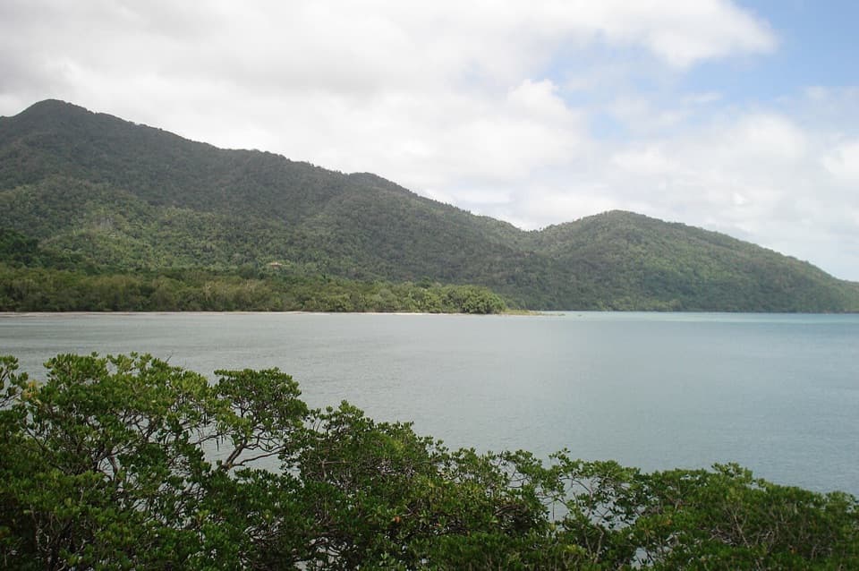
At the end of Cape Kimberley Road, use the Cape Kimberley Beach carpark. A short track through paperbark swamp reaches the beach; bring your own water.
Daintree National Park, QLD
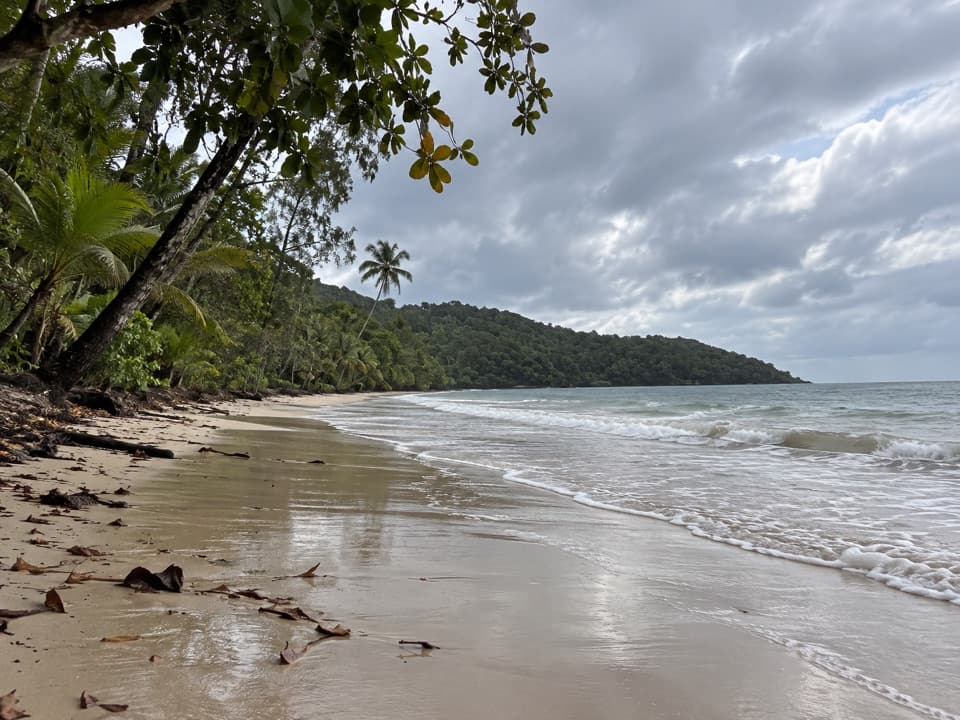
A 5 km beach walk to the Daintree River mouth.
Overview
Map & elevation
Plan your hike

The highest, rockiest slopes around here are a summer buffet for grizzly bears.
Daintree Tour Guide
Parkwolf is a GPS audio tour guide for Daintree National Park. As you drive, it chimes in with what’s ahead: hidden gems, upcoming stops, history, geology, and wildlife, right through your car’s speakers.
See the Daintree audio tourRecorded for this trailhead
Cape Kimberley Beach“Cape Kimberley Beach is ahead, with a long sweep of sand facing Snapper Island. From the car park, a short path through paperbark swamp brings you onto the shore.”
Plays as you drive up to this trailhead in the Parkwolf Daintree Tour Guide.
More stories near here in the app
“Fantastic app with many points of information… It’s great to just turn on while you’re driving and it gives you an audio tour of the national Park. We love it!!!!”


Trail guide
Cape Kimberley Walk is a 5 km round-trip out-and-back from the Cape Kimberley Beach carpark to the Daintree River mouth and back. A short path through paperbark swamp gives way to open sand; allow about 1.5 hours for this easy walk. It is a beach wander rather than a constructed hiking track, so follow the shore to the river mouth and return the same way.
Drive Cape Kimberley Road to its end and park at the beach access. A short track crosses paperbark swamp before you reach the sand. Bring drinking water and sun protection; no water source is listed at the beach.
From the beach entrance, looking right, the shore leads toward the Daintree River mouth and Wonga Beach beyond. Snapper Island sits offshore, while Low Isles and Port Douglas are distant views on clear days. For a photo, include the island above the curve of shore, with the rainforest edge in frame.
Treat the river mouth as crocodile habitat: do not swim in water where crocodiles may live, even if there is no warning sign. Marine stingers may be present year-round in tropical coastal waters, more often in warmer months. Dogs may come on leash; this is not a designated off-leash area.
Explorer George Elphinstone Dalrymple named Cape Kimberley in 1873 for John Wodehouse, the Earl of Kimberley.
Wildlife
 688 sightingsSouthern CassowaryMost seen around 5 PMSighting map
 1,788 sightingsSaltwater CrocodileMost seen around 4 PMSighting map
 242 sightingsSpectacled Flying-foxMost seen around 6 PMSighting map
 332 sightingsBoyd's Forest DragonMost seen around 10 AMSighting map
 46 sightingsVictoria's RiflebirdMost seen around 7 AMSighting map
 188 sightingsLace MonitorMost seen around 10 AMSighting map
Sighting maps show where each species has been reported across Daintree. Wildlife moves, so no sighting is guaranteed.
Keep exploring
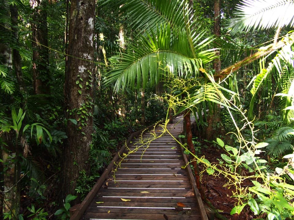 EasyJindalba Boardwalk Loop0.7 km · 45 min · 6.1 km awayA short rainforest loop for creek views and ancient king ferns.
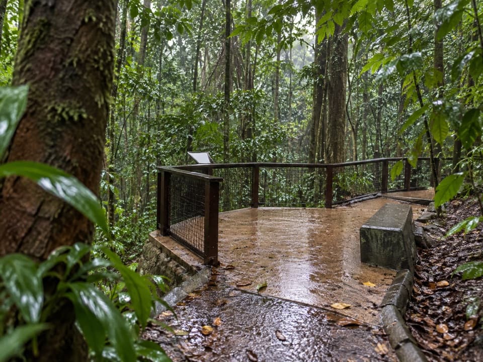 EasyJindalba Rainforest Walk0.1 km · 10 min · 6.1 km awayA short, accessible rainforest path leads to a clear creek lookout.
 ModerateJindalba Circuit Track3 km · 1.5 hr · 6.1 km awayLeave the easy boardwalk for a rougher rainforest circuit
 EasyDaintree Discovery Centre Walk0.9 km · 1 hr · 6.5 km awayA ticketed canopy walk through cassowary country and rainforest stories.
 ChallengingThornton Peak Walking Track21.4 km · 10 hr · 12.6 km awayRemote 21.4km peak climb; verify access before using this route.
 EasyMadja Boardwalk1.2 km · 45 min · 15.8 km awayRainforest boardwalk, mangrove creek, and an easy loop
 ChallengingManjal Jimalji (Devils Thumb) Trail12 km · 10 hr · 19.4 km awayA hard rainforest climb to coral fern and a boulder lookout.
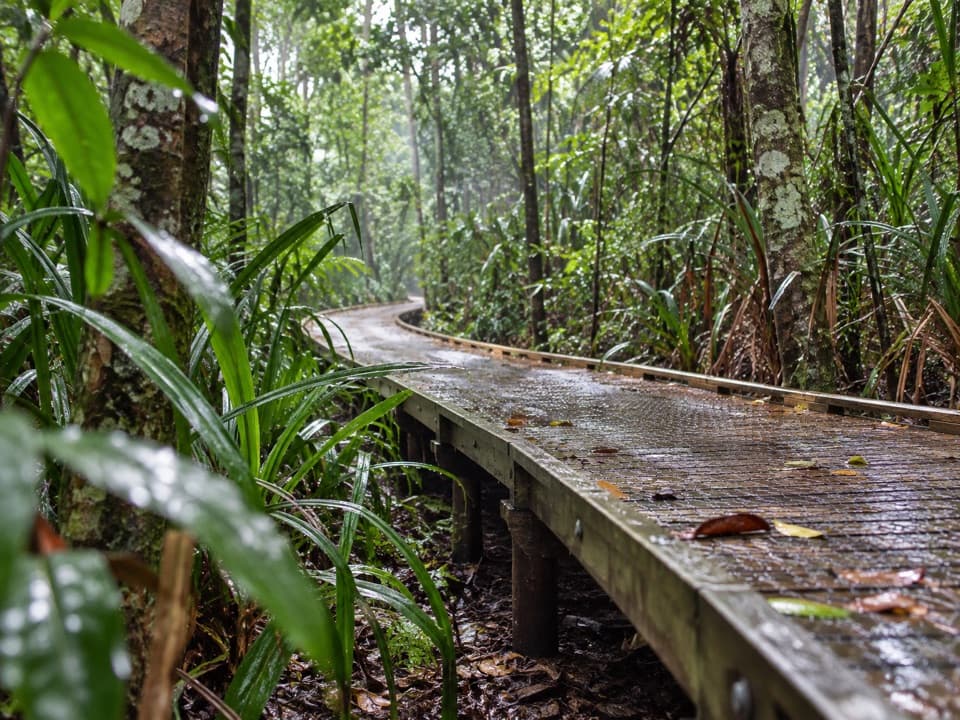 EasyDubuji Boardwalk1.5 km · 45 min · 20.8 km awayAn easy loop through palms, creeks and salty mangroves.
 Beach · At the trailheadCape Kimberley BeachA long beach walk with Snapper Island offshore.
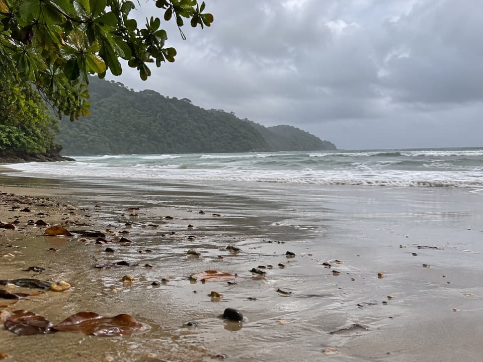 Beach · 4.7 km awayCow Bay BeachA rainforest-backed beach with coves worth exploring at low tide.
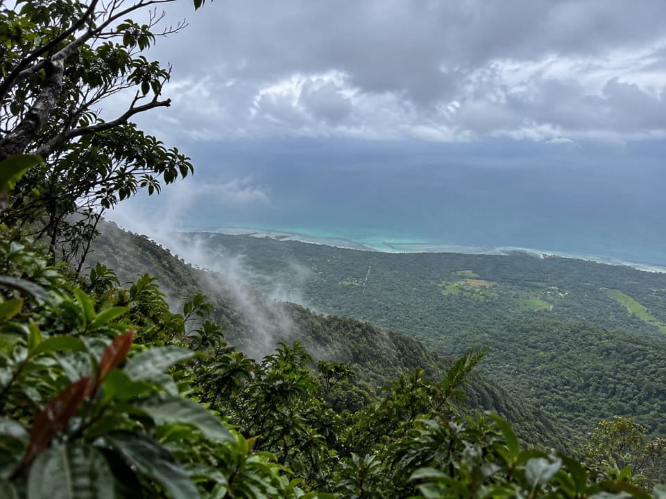
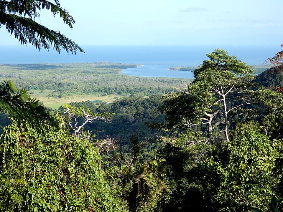 Sight · 5.3 km awayMount Alexandra Lookout (Walu Wugirriga)A quick panorama from rainforest to river mouth and reef.
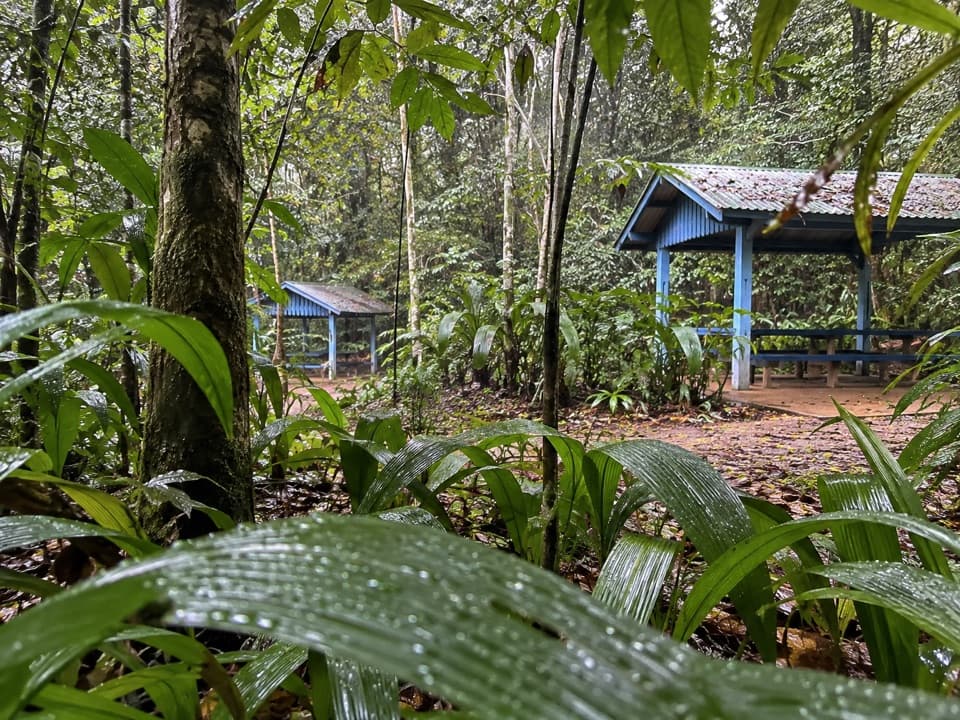 Picnic area · 6.1 km awayJindalba Day-use AreaPair a rainforest picnic with the easy boardwalk or tougher circuit.
 Sight · 6.5 km awayDaintree Discovery CentreFive tower platforms lift you into different rainforest layers.
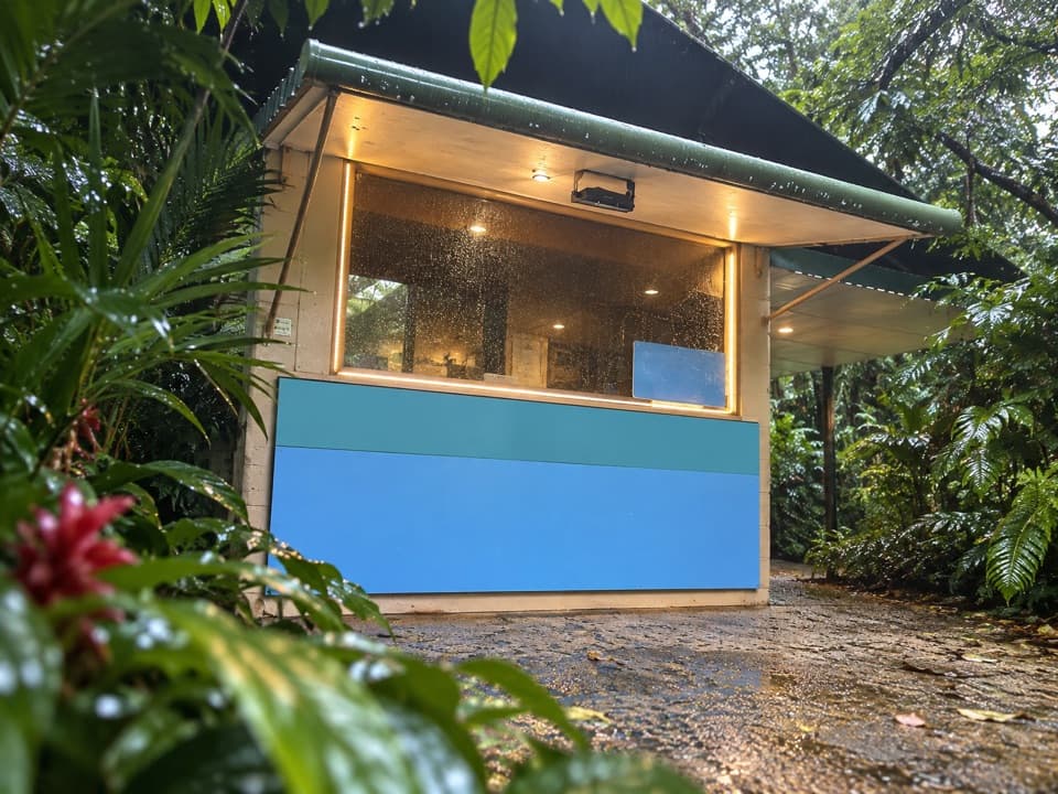 Food · 7.9 km awayFloravilla Ice CreamerySeasonal tropical-fruit ice cream in a shady Daintree garden.
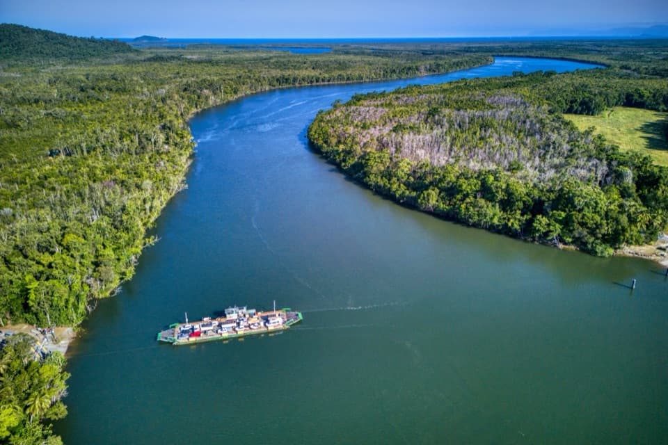 Sight · 8.4 km awayDaintree River FerryA five-minute cable ferry opens the road to Cape Tribulation.
 Sight · 8.8 km awaySolar Whisper Daintree River CruisesQuiet solar power and a sharp guide help find camouflaged wildlife.
Parkwolf’s Daintree ranking

The audio tour guide for the drive, plus offline maps, trails, and wildlife heatmaps for when the signal drops.