Parking
From the Daintree ferry, take Cape Tribulation Road 10 km north, turn right on Tulip Oak Road 2 km past Mount Alexandra Lookout, then continue 1 km to Jindalba car park. Use the accessible bays by the boardwalk exit for creek access.
Daintree National Park, QLD
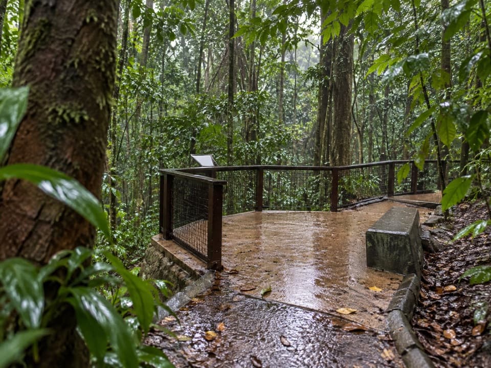
A short, accessible rainforest path leads to a clear creek lookout.
Overview
Map & elevation
Plan your hike

The highest, rockiest slopes around here are a summer buffet for grizzly bears.
Daintree Tour Guide
Parkwolf is a GPS audio tour guide for Daintree National Park. As you drive, it chimes in with what’s ahead: hidden gems, upcoming stops, history, geology, and wildlife, right through your car’s speakers.
See the Daintree audio tourRecorded for this trailhead
Jindalba Picnic Area and Walks“You're nearing Jindalba, a picnic area tucked into lowland rainforest at the foot of Mount Alexandra.”
Plays as you drive up to this trailhead in the Parkwolf Daintree Tour Guide.
More stories near here in the app
“Fantastic app with many points of information… It’s great to just turn on while you’re driving and it gives you an audio tour of the national Park. We love it!!!!”


Trail guide
This is the separately listed Jindalba rainforest walk: 80 m return, about 10 minutes, Grade 1, through lowland rainforest to a clear creek lookout. It is distinct from the 650 m boardwalk loop and 3 km circuit. Look through the foliage toward the creek at the lookout.
The short spur has no separately mapped official trace. The saved line follows an unnamed wooden footway of about 43 m from the car park side to the short-loop junction, close to half the published return distance. Its exact start and creek-side turning point remain uncertain; follow on-site signs and treat the mapped line as approximate.
The walk is described as fully accessible and is a very short, even approach. Wheelchair access to the creek is at the boardwalk exit side near the accessible parking bays; assistance may be needed around the day-use area. Choose this exit-side approach for the creek rather than following the longer loop.
From the Daintree ferry, drive 10 km north on Cape Tribulation Road, turn right into Tulip Oak Road (2 km past Mount Alexandra Lookout), then continue 1 km to Jindalba car park. The day-use area has picnic tables, some sheltered, and flush toilets. Jindalba means “foot of the mountain.”
Crocodiles inhabit nearby waterways; keep clear of the creek edge. Pets are prohibited except approved assistance animals.
Wildlife
 688 sightingsSouthern CassowaryMost seen around 5 PMSighting map
 1,788 sightingsSaltwater CrocodileMost seen around 4 PMSighting map
 242 sightingsSpectacled Flying-foxMost seen around 6 PMSighting map
 332 sightingsBoyd's Forest DragonMost seen around 10 AMSighting map
 46 sightingsVictoria's RiflebirdMost seen around 7 AMSighting map
 188 sightingsLace MonitorMost seen around 10 AMSighting map
Sighting maps show where each species has been reported across Daintree. Wildlife moves, so no sighting is guaranteed.
Keep exploring
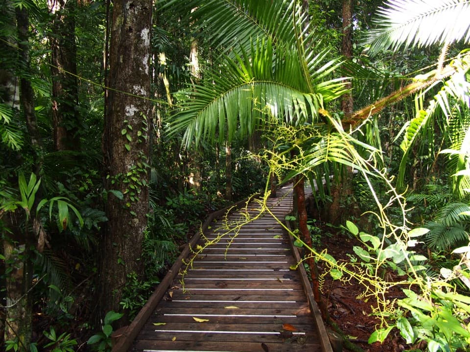 EasyJindalba Boardwalk Loop0.7 km · 45 min · At the trailheadA short rainforest loop for creek views and ancient king ferns.
 ModerateJindalba Circuit Track3 km · 1.5 hr · At the trailheadLeave the easy boardwalk for a rougher rainforest circuit
 EasyDaintree Discovery Centre Walk0.9 km · 1 hr · 0.5 km awayA ticketed canopy walk through cassowary country and rainforest stories.
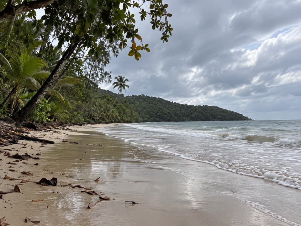 EasyCape Kimberley Walk5 km · 1.5 hr · 6.1 km awayA 5 km beach walk to the Daintree River mouth.
 ChallengingThornton Peak Walking Track21.4 km · 10 hr · 7.5 km awayRemote 21.4km peak climb; verify access before using this route.
 EasyMadja Boardwalk1.2 km · 45 min · 11.2 km awayRainforest boardwalk, mangrove creek, and an easy loop
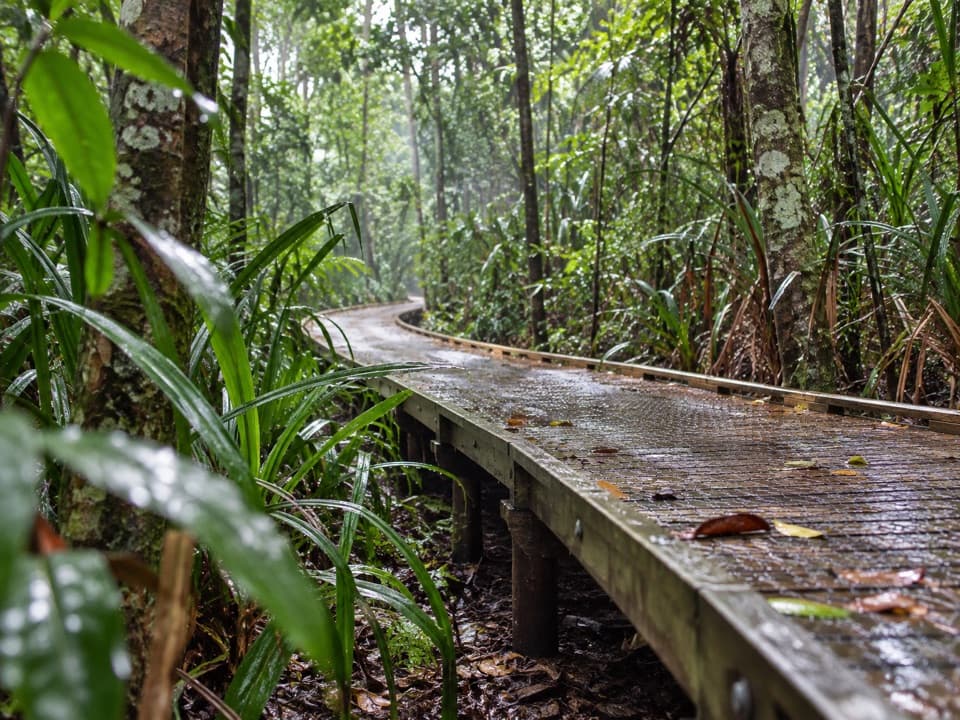 EasyDubuji Boardwalk1.5 km · 45 min · 16.9 km awayAn easy loop through palms, creeks and salty mangroves.
 EasyDubuji Myall Beach Track0.7 km · 20 min · 16.9 km awayA short rainforest-to-sand walk from the Dubuji hub.
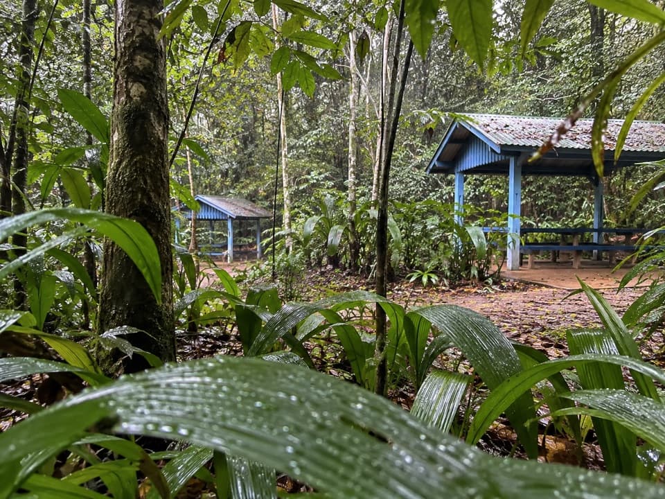 Picnic area · At the trailheadJindalba Day-use AreaPair a rainforest picnic with the easy boardwalk or tougher circuit.
 Sight · 0.5 km awayDaintree Discovery CentreFive tower platforms lift you into different rainforest layers.
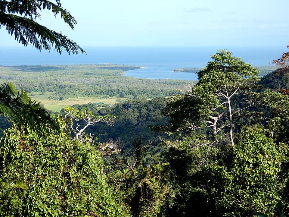 Sight · 0.9 km awayMount Alexandra Lookout (Walu Wugirriga)A quick panorama from rainforest to river mouth and reef.
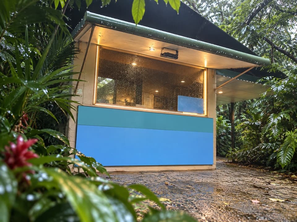 Food · 1.8 km awayFloravilla Ice CreamerySeasonal tropical-fruit ice cream in a shady Daintree garden.
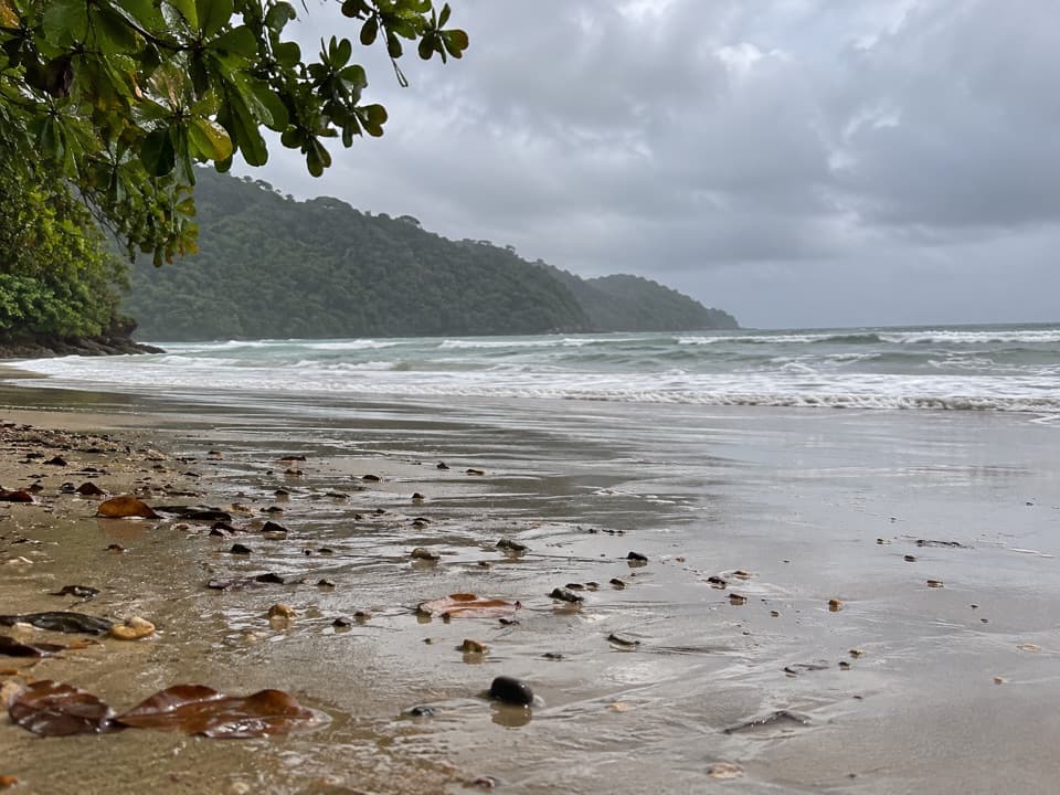 Beach · 3.8 km awayCow Bay BeachA rainforest-backed beach with coves worth exploring at low tide.
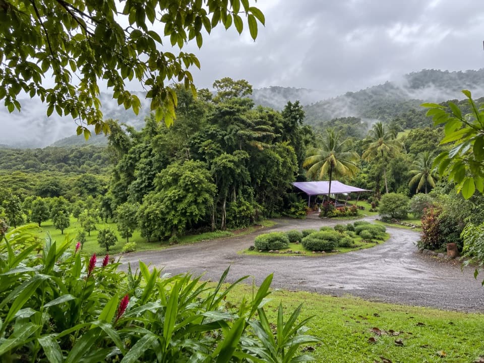 Food · 4.1 km awayDaintree Ice Cream CompanyFour changing fruit flavours, then a free orchard walk.
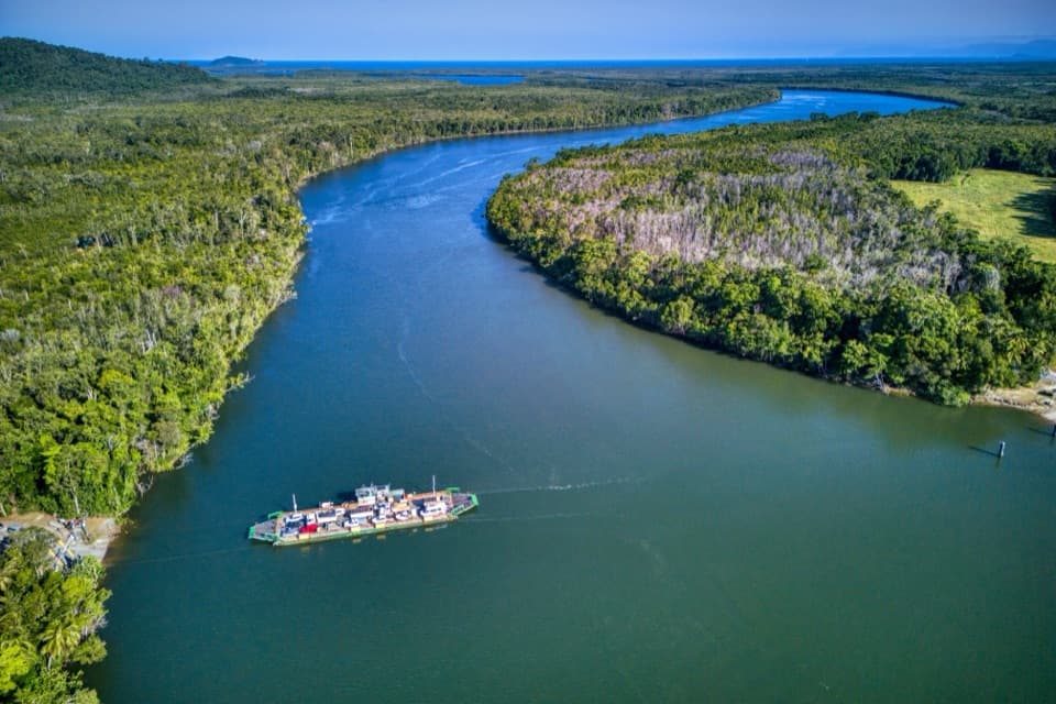 Sight · 4.5 km awayDaintree River FerryA five-minute cable ferry opens the road to Cape Tribulation.
 Campground · 4.7 km awayDaintree SiestaRainforest camping, guest-only walks and barramundi on site
Parkwolf’s Daintree ranking

The audio tour guide for the drive, plus offline maps, trails, and wildlife heatmaps for when the signal drops.