Overview
About Dead Horse Point Overlook
Why stop
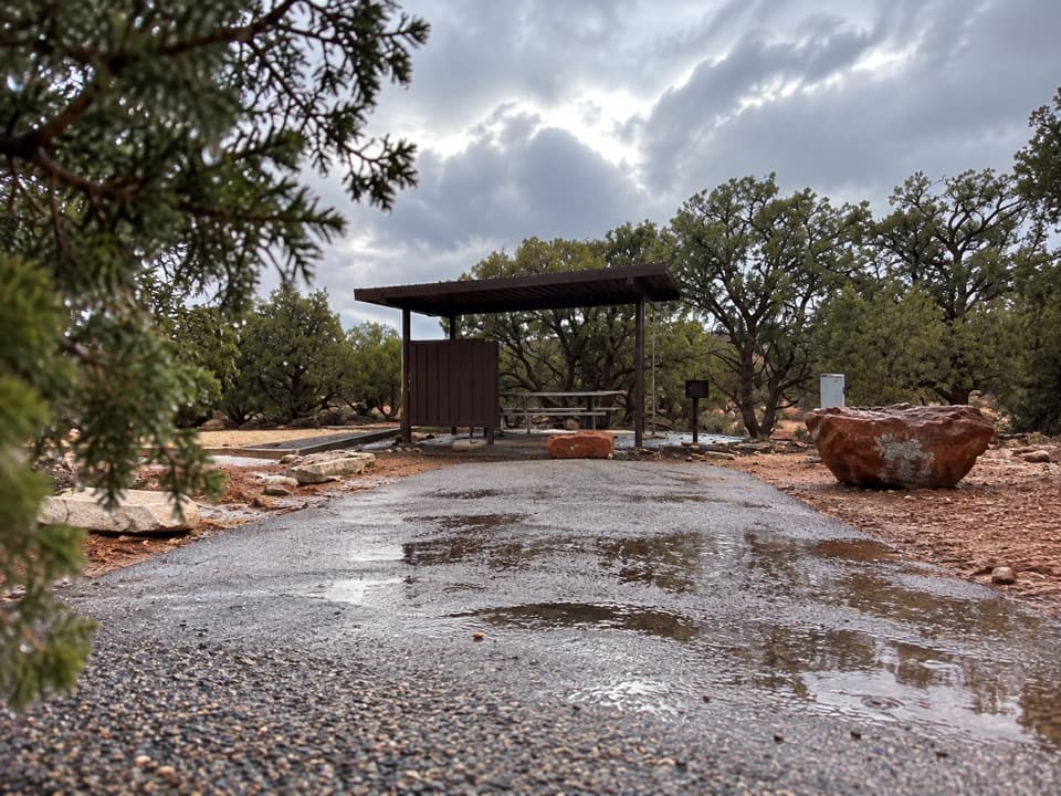
- A large shelter shades the main accessible viewpoint.
Heads up
- The longer rim walk can feel repetitive if one broad canyon view is enough.
Map
Where it is

The highest, rockiest slopes around here are a summer buffet for grizzly bears.
Dead Horse Point Tour Guide
Your drive to Dead Horse Point Overlook, narrated.
Parkwolf is a GPS audio tour guide for Dead Horse Point State Park. As you drive, it chimes in with what’s ahead: hidden gems, upcoming stops, history, geology, and wildlife, right through your car’s speakers.
Recorded for this place
Dead Horse Point Overlook“You're coming up on Dead Horse Point Overlook, the stop I'd keep if you only have time for one canyon view.”
Plays as you drive up to Dead Horse Point Overlook in the Parkwolf Dead Horse Point Tour Guide.
More stories near here in the app
- Wingate Campground and Yurts
- Kayenta Campground
- Visitor Center and Desert View
- Visitor Center Rim Trails
- 11 audio storiesacross Dead Horse Point’s roads, triggered by GPS as you drive
- Wildlife heatmapsfor Raven, Whiptail Lizard, Fence Lizard, and 1 more
- Works offlinemaps, 21 trails, 22 places, and audio download before you lose signal
- CarPlay readysimple controls built for the drive
“Fantastic app with many points of information… It’s great to just turn on while you’re driving and it gives you an audio tour of the national Park. We love it!!!!”


Guide
More about Dead Horse Point Overlook
Start with the main viewDead Horse Point Overlook is the park’s signature viewpoint, at the end of a narrow sandstone…
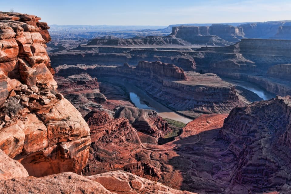
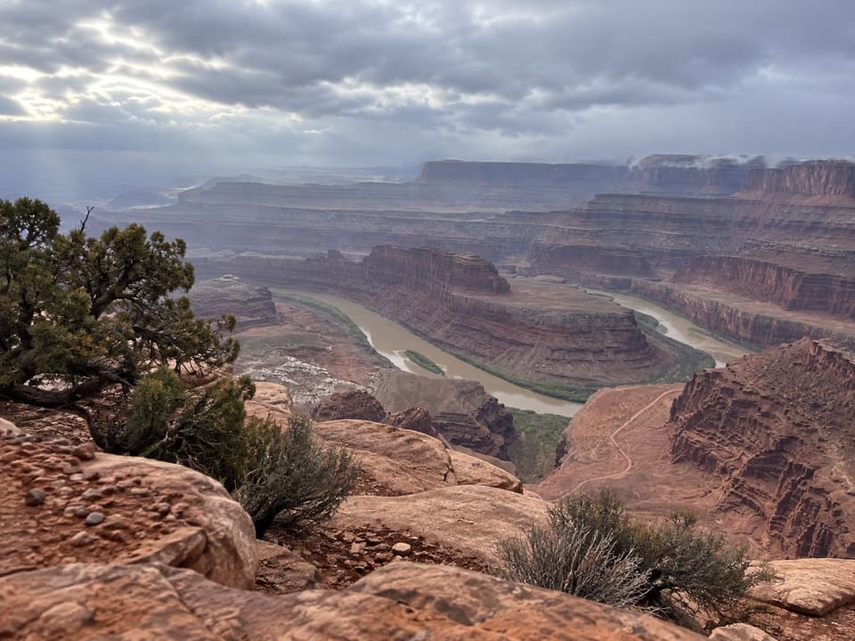
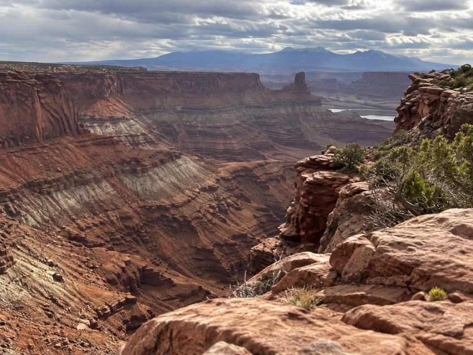
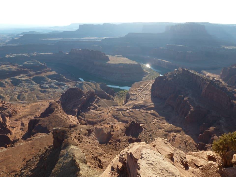
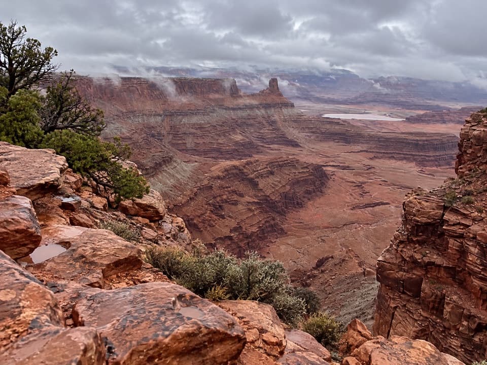
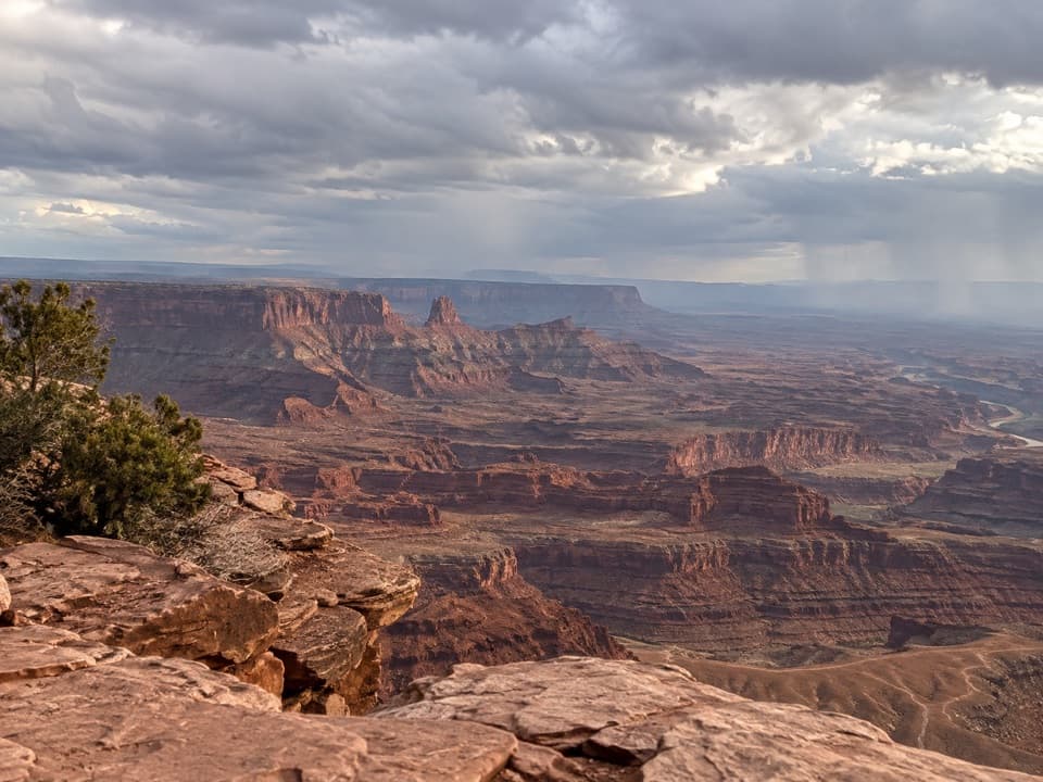
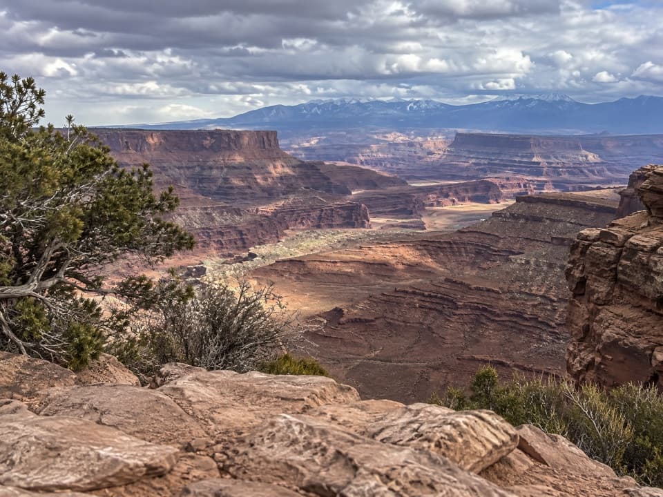
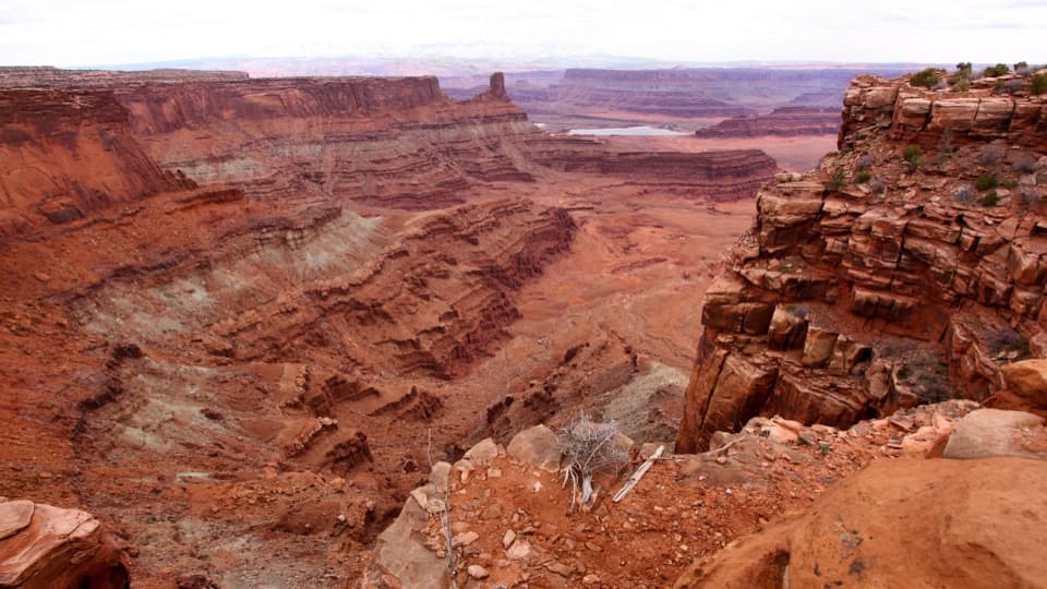
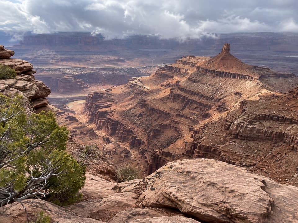
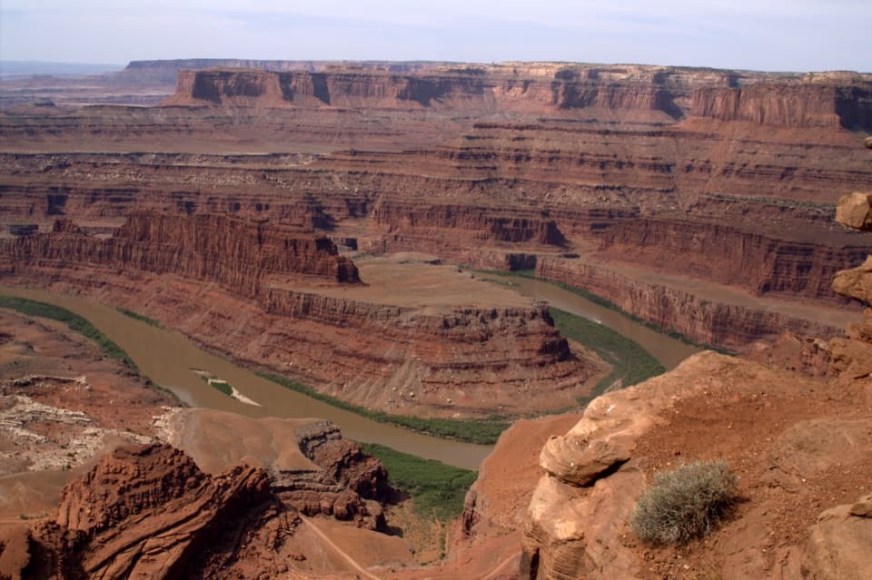
Dead Horse Point Overlook is the park’s signature viewpoint, at the end of a narrow sandstone peninsula. The Colorado River’s broad bend sits roughly 2,000 feet below, and if you have time for only one stop, this is the one to keep.
The easy approachFrom the overlook parking lot, the main paved path is 200 feet one way to the shelter and…
From the overlook parking lot, the main paved path is 200 feet one way to the shelter and central platform. This route is ADA accessible, with shade at the view. The east and west spur paths climb more steeply and include short slickrock sections; they are not ADA accessible.
Keep walking for more anglesShort branches lead east and west to other rim views and connect with the East and West Rim…
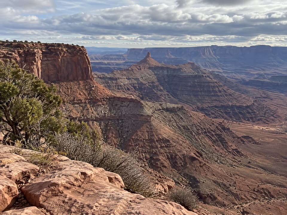
Short branches lead east and west to other rim views and connect with the East and West Rim trails. Go farther if you enjoy seeing the same river bend from different angles. If one big canyon view is enough, the central platform gives you the headline without a longer walk; the landscape can feel repetitive if you do every stop.
How the point took shapeThe overlook sits near 5,900 feet on a peninsula joined to the mesa by a narrow neck.
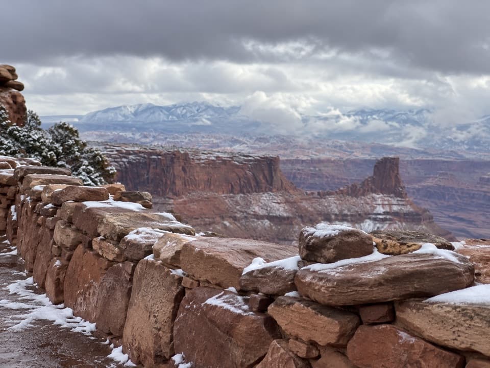
The overlook sits near 5,900 feet on a peninsula joined to the mesa by a narrow neck. Its sandstone layers hold sediment from ancient oceans, lakes, streams and windblown dunes. The high mountains on the horizon formed through igneous activity, a different chapter in the landscape’s story.
The horses are a legendA legend says cowboys around the turn of the 20th century used the narrow neck to corral wild…
A legend says cowboys around the turn of the 20th century used the narrow neck to corral wild mustangs on the point. One group was left without water and died with the Colorado River in sight; it’s a grim story, not established history. Dead Horse Point became a state park in 1959.
The desert moves slowlyA desert tree only 15 feet tall can be hundreds of years old, and most desert animals are…
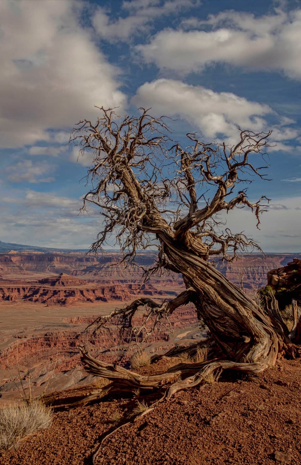
A desert tree only 15 feet tall can be hundreds of years old, and most desert animals are nocturnal. If you’re hoping to see movement, the cooler edges of the day are a better bet than midday.
Get the bend in your photoKeep the river’s curve and a slice of cliff rim in the same frame; that shows both the…
Keep the river’s curve and a slice of cliff rim in the same frame; that shows both the signature shape and how far down it sits. Sunrise and sunset light can turn the canyon walls gold. The central viewpoint can be busy; if it is, walk a little along the rim for another angle.
Wildlife
Wildlife in Dead Horse Point
 33 sightingsRavenMost seen around 6 PMSighting map
 16 sightingsWhiptail LizardMost seen around 10 AMSighting map
 34 sightingsFence LizardMost seen around 8 AMSighting map
 42 sightingsSide-blotched LizardMost seen around 9 AMSighting map
Sighting maps show where each species has been reported across Dead Horse Point. Wildlife moves, so no sighting is guaranteed.