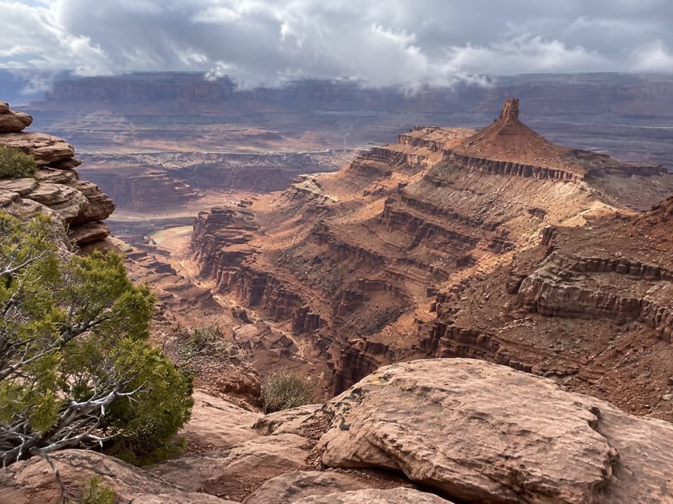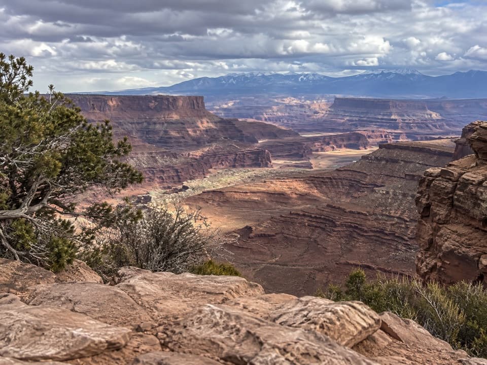
Shafer Canyon Overlook in Dead Horse Point State Park

#5 of 15 sights in Dead Horse Point

Sight · Dead Horse Point State Park

Shafer Canyon Overlook

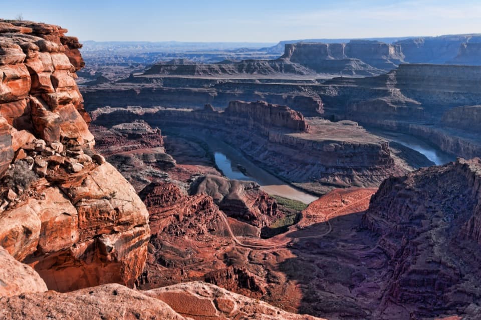
A West Rim spur opens onto Shafer Canyon above the river.

Type
Sight
Nearest trail
0.9 mi
Audio stories
5 nearby
  • Scenic viewpoint

Hear the audio tour

Visitor Center Rim Trails
Download Parkwolf on the App StoreGet Parkwolf on Google Play

4.7 from 8,600+ ratings

Overview

About Shafer Canyon Overlook

Why stop

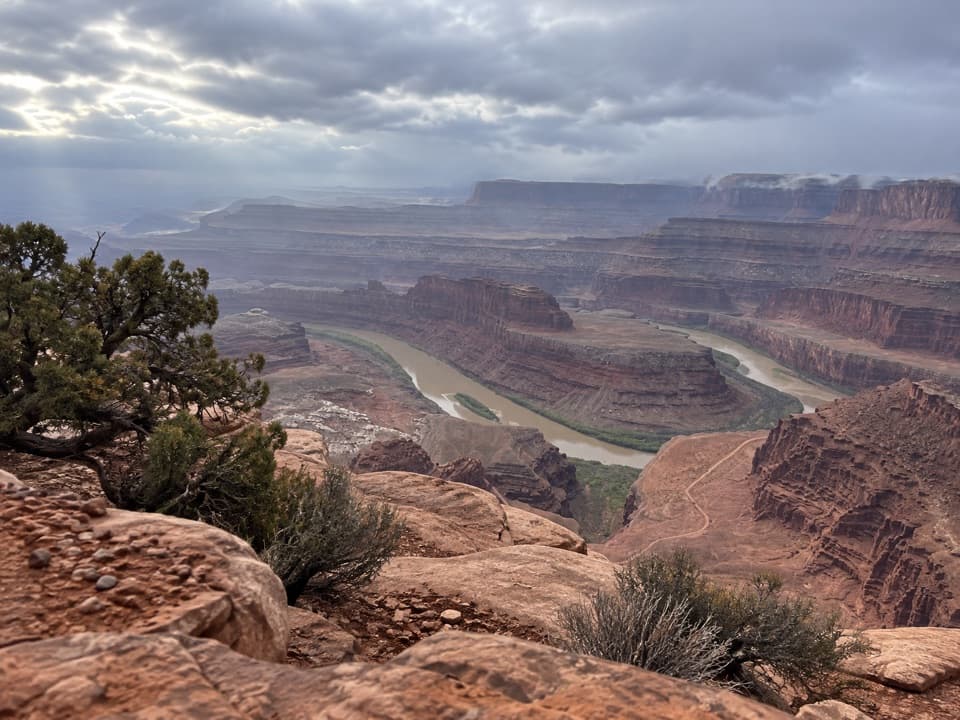
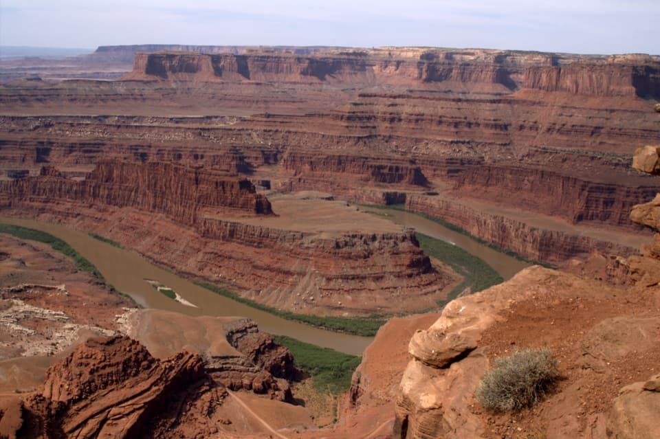
  • A first West Rim glimpse of the Colorado River, about 2,000 feet below.

Heads up

  • Getting here means walking an exposed, uneven slickrock route.

Map

Where it is

Loading the Dead Horse Point map
Full map
SightShafer Canyon Overlook38.47938, -109.75041
Keep this map with you offline in the Parkwolf app

Plan your stop

Before you go

Getting there

The West Rim Trail starts behind the visitor center, crosses the road, passes the campground, then follows the park's western cliffs. The Shafer spur branches off that walk. The route crosses exposed sandstone and uneven slickrock; cairns mark the more primitive sections, and the park recommends sturdy shoes. Dogs are allowed on park trails when leashed. The visitor center has bathrooms before you set out.


A park ranger sits on a dash-mounted phone, talking, as Parkwolf’s Tour Guide plays “Army Cutworm Moths: A Grizzly Bear Buffet” on Grand Loop Road below Dunraven Pass in Yellowstone
Parkwolf Tour GuideThe highest, rockiest slopes around here are a summer buffet for grizzly bears.

Dead Horse Point Tour Guide

Your drive to Shafer Canyon Overlook, narrated.

Parkwolf is a GPS audio tour guide for Dead Horse Point State Park. As you drive, it chimes in with what’s ahead: hidden gems, upcoming stops, history, geology, and wildlife, right through your car’s speakers.

Recorded for this place

Visitor Center Rim Trails
0:00 / 0:23
“You're nearing the visitor center's rim-trail access, where the East and West Rim trails make a half-day loop to Dead Horse Point.”

Plays as you drive up to Shafer Canyon Overlook in the Parkwolf Dead Horse Point Tour Guide.

More stories near here in the app

  • Wingate Campground and Yurts
  • Dead Horse Point Overlook
  • Kayenta Campground
  • Visitor Center and Desert View
  • 11 audio storiesacross Dead Horse Point’s roads, triggered by GPS as you drive
  • Wildlife heatmapsfor Raven, Whiptail Lizard, Fence Lizard, and 1 more
  • Works offlinemaps, 21 trails, 21 places, and audio download before you lose signal
  • CarPlay readysimple controls built for the drive
★★★★★
“Fantastic app with many points of information… It’s great to just turn on while you’re driving and it gives you an audio tour of the national Park. We love it!!!!”
JMJamesApp Store review
Download Parkwolf on the App StoreGet Parkwolf on Google Play

4.7 from 8,600+ ratings

Guide

More about Shafer Canyon Overlook

The West Rim spurShafer Canyon Overlook is a viewpoint spur on Dead Horse Point's West Rim Trail, looking down…

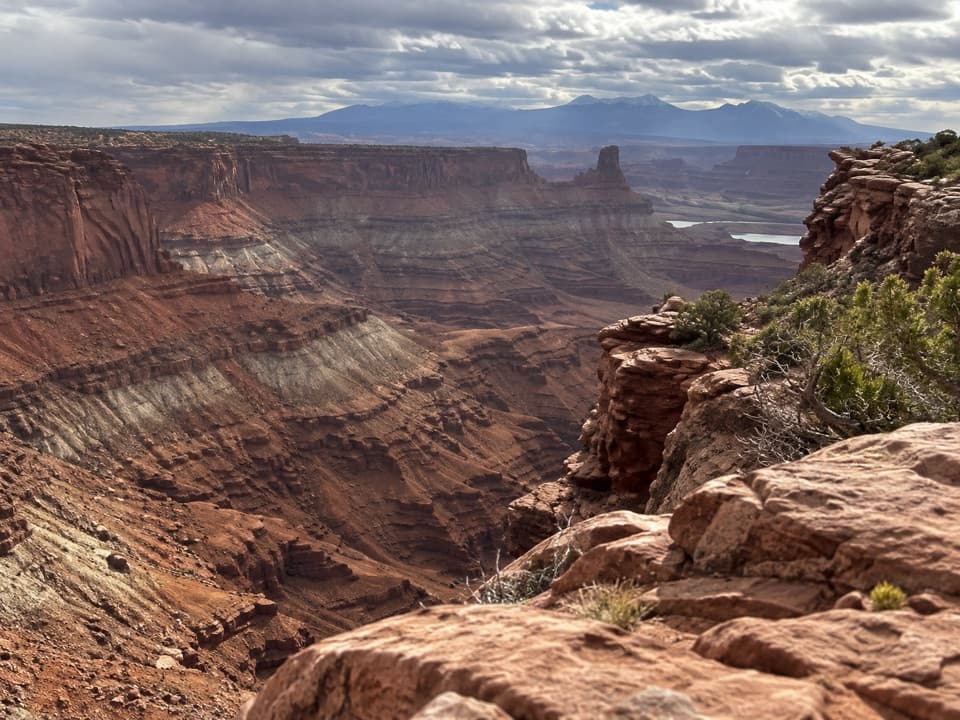
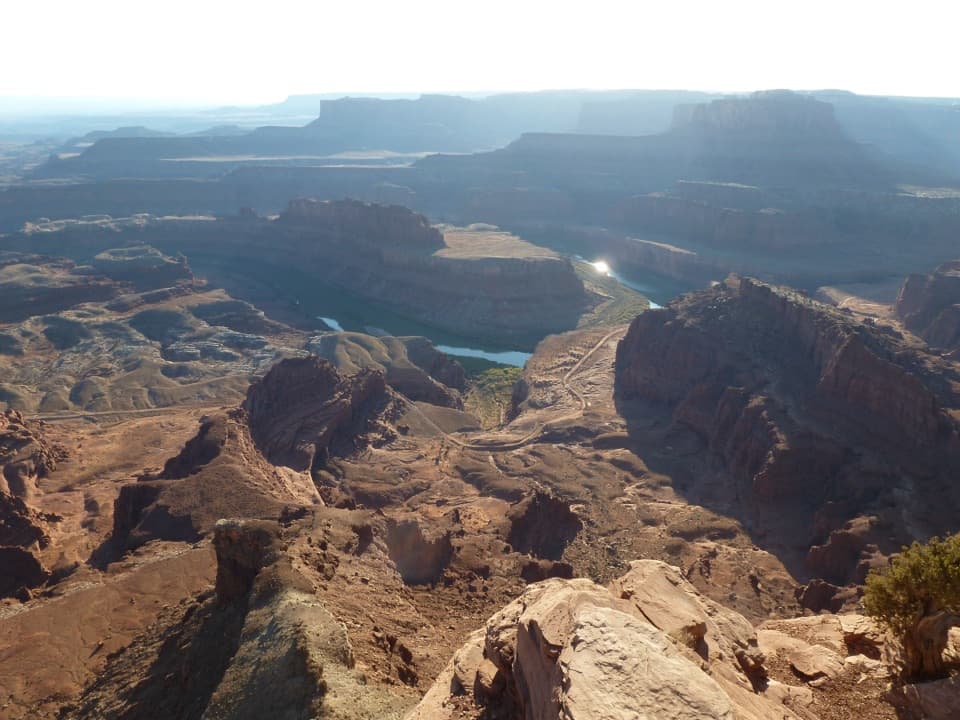
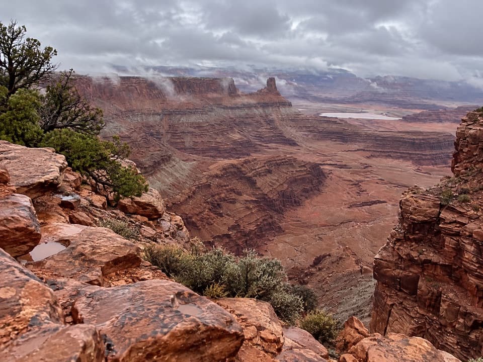
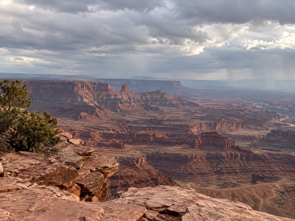
Shafer Canyon Overlook is a viewpoint spur on Dead Horse Point's West Rim Trail, looking down into Shafer Canyon toward the Colorado River about 2,000 feet below. Reaching it means hiking the rim route rather than making a drive-up stop. Keep it in your plan if you want the canyon's scale and a close look at the river-cut landscape.

Read the canyon in layersColorado River tributaries carved curved amphitheaters into this high plateau, leaving the rock…

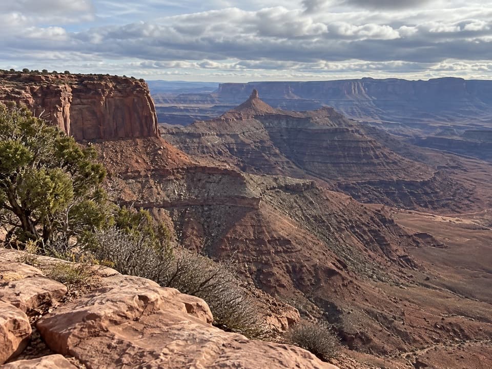
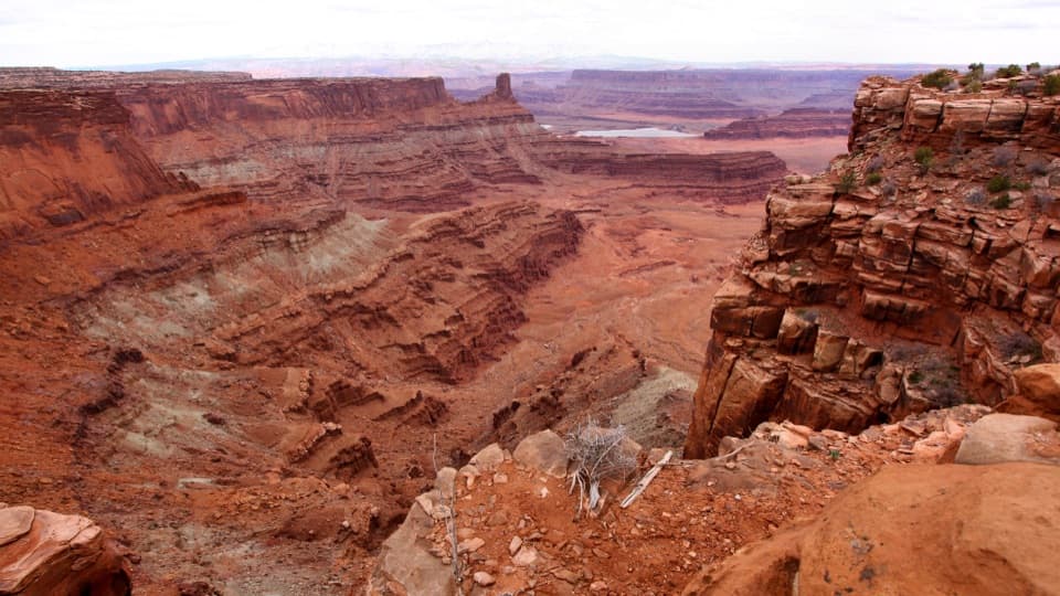
Colorado River tributaries carved curved amphitheaters into this high plateau, leaving the rock points that shape the rim. At Dead Horse Point, the river cuts about 2,000 feet through layers spanning roughly 300 million years. Entrada Sandstone caps the cliffs, while the Honaker Trail Formation sits near river level. From this spur, look across the stacked rock toward Canyonlands.

Frame the dropFor a photo that shows the scale, keep some of the near sandstone rim in the frame with the…

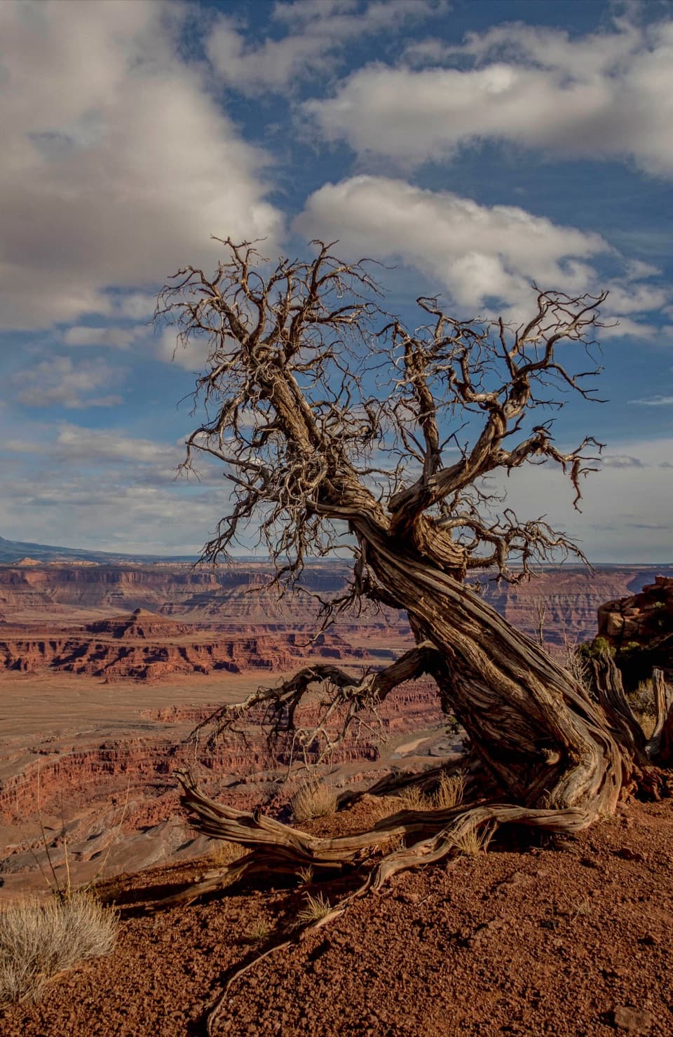
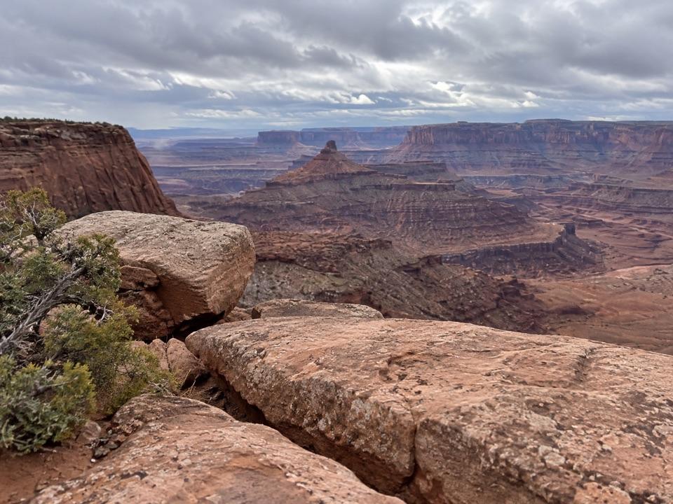
For a photo that shows the scale, keep some of the near sandstone rim in the frame with the layered canyon beyond it. The river sits far below; include it when it falls within your view rather than filling the frame with distant cliffs alone.

Wildlife

Wildlife in Dead Horse Point

All Dead Horse Point wildlife maps

Sighting maps show where each species has been reported across Dead Horse Point. Wildlife moves, so no sighting is guaranteed.

Keep exploring

Near Shafer Canyon Overlook

See it all on the map

Trails nearby

More stops nearby

Parkwolf’s Dead Horse Point ranking

Top sights in Dead Horse Point

All 21 places
  1. 1Dead Horse Point OverlookSight
  2. 2Big Horn OverlookSight
  3. 3Meander OverlookSight
  4. 4Cable Line OverlookSight
  5. 6Rim OverlookSight
  6. 7Basin OverlookSight

Take Parkwolf to Dead Horse Point.

The audio tour guide for the drive, plus offline maps, trails, and wildlife heatmaps for when the signal drops.

4.7 from 8,600+ ratings

Download Parkwolf on the App StoreGet Parkwolf on Google Play